 Caving | Lucky Star Mine


Hype:
The Lucky Star Mine is a silver and lead mine located in Cache county, Utah. It was in production from 1908-1920. Historically the site has been associated with the Paradise Mining District which is now part of the Cache National Forest. The subsurface shaft extends to 490 feet.
Cave Type: Horizontal
Time: 2-4 hours
Length: 490 ft
Depth: 30 ft
Gear: Headlamp
Fees: None
Recommended Ages:
 | 0-3 |
 | 4-11 |
 | 12-19 |
 | 20-49 |
 | 50-69 |
 | 70+ |
Recommended Months to Visit:
| Jan |
| Feb |
| Mar |
| Apr |
| May |
| Jun |
| Jul |
| Aug |
| Sep |
| Oct |
| Nov |
| Dec |
Permits: Open
Links: https://westernmininghistory.com/mine_detail/10020848/
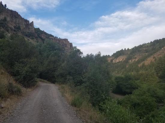
Navigate to 41.675678, -111.575940.
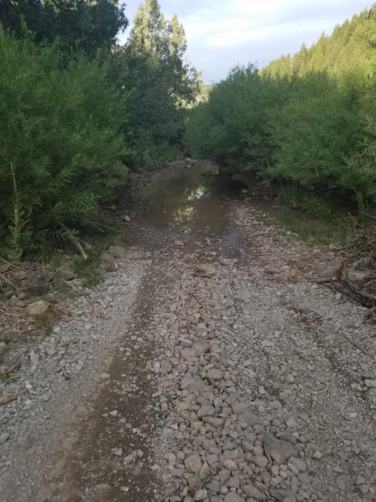
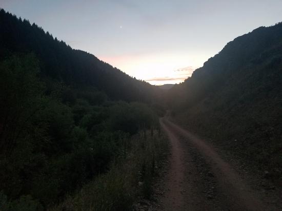
If there is a pond in the road or the road is too rough for your vehicle, just drive as far as you can and walk the rest of the way. Most of the road is very narrow, so try to find a good spot to pull off where you won't block traffic.
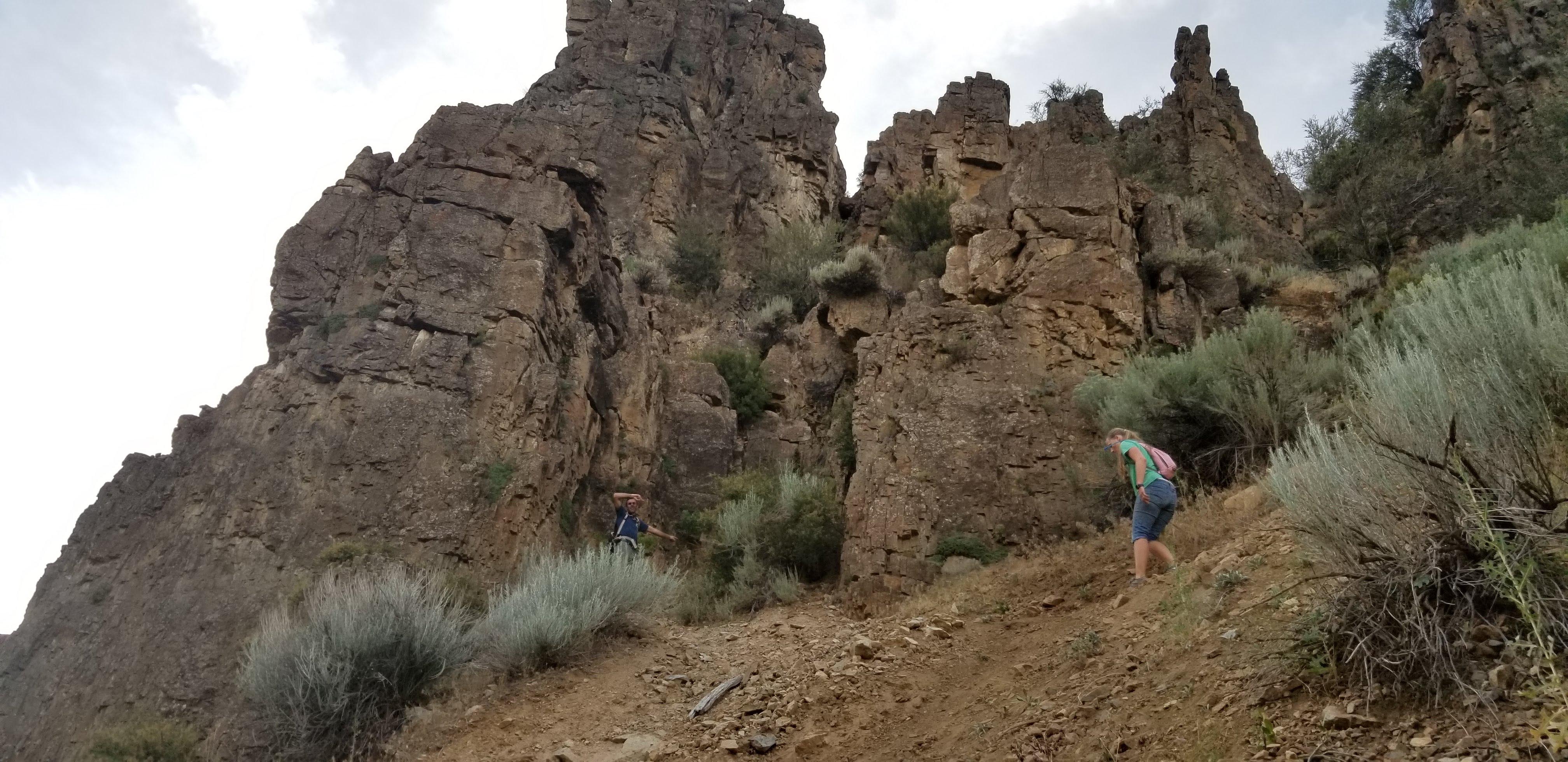
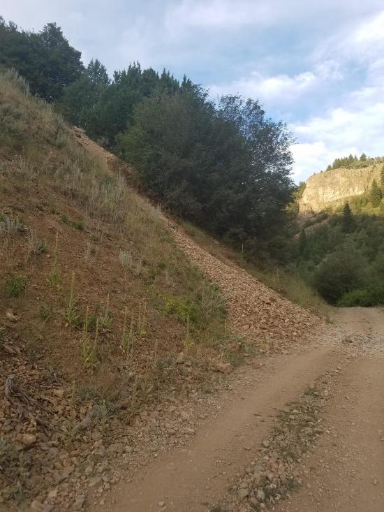
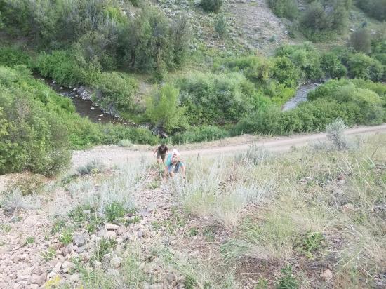
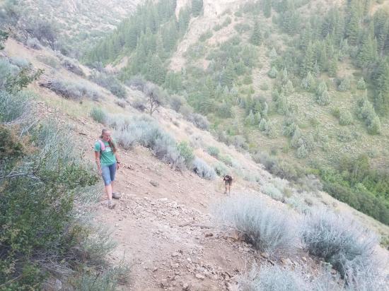
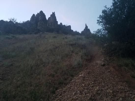
You'll know you've reached the right spot to leave the road when you see the whole hillside covered with mine tailings on the north. You can hike straight up the mine tailings if you want. This is what we did, but it was really difficult because the rocks were loose. A better way, which we discovered on the hike down, is to walk up the road about 400 feet more to the east where there is a foot trail that switch-backs up the hillside. It ends up being a lot faster.
The approach hike is about 450 feet long, and it gains about 250 feet of elevation, which is very steep.
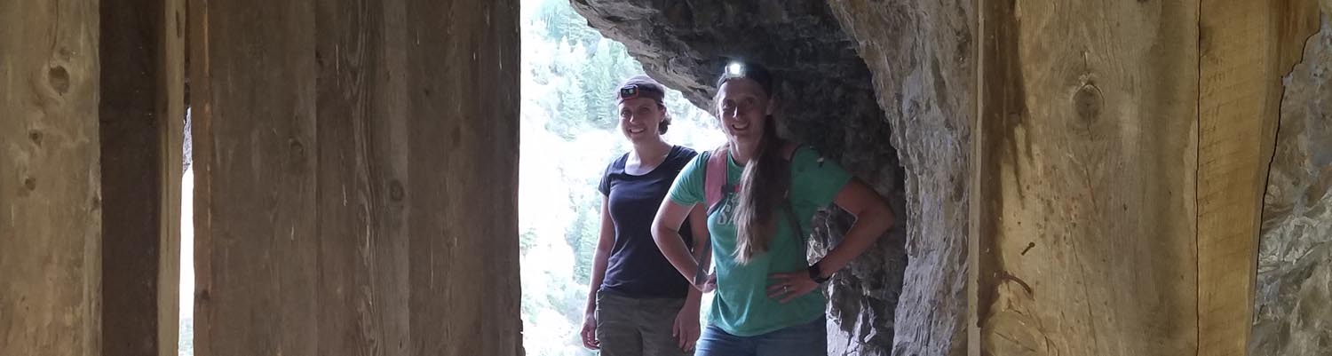
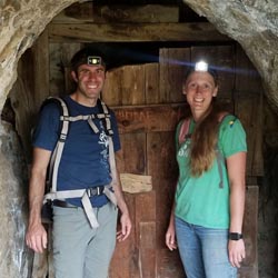
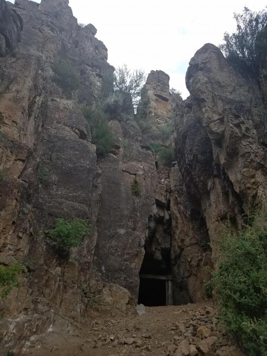
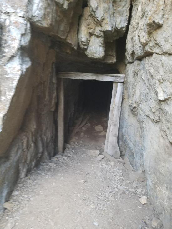
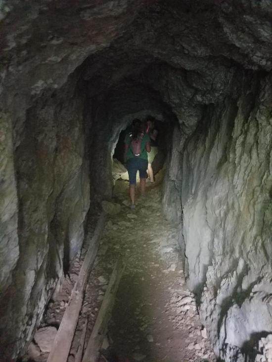
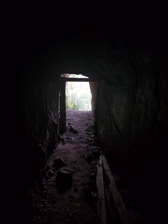
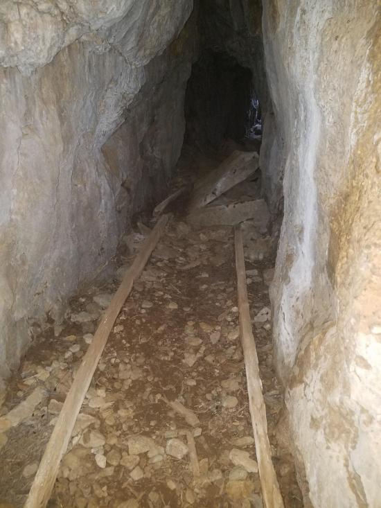
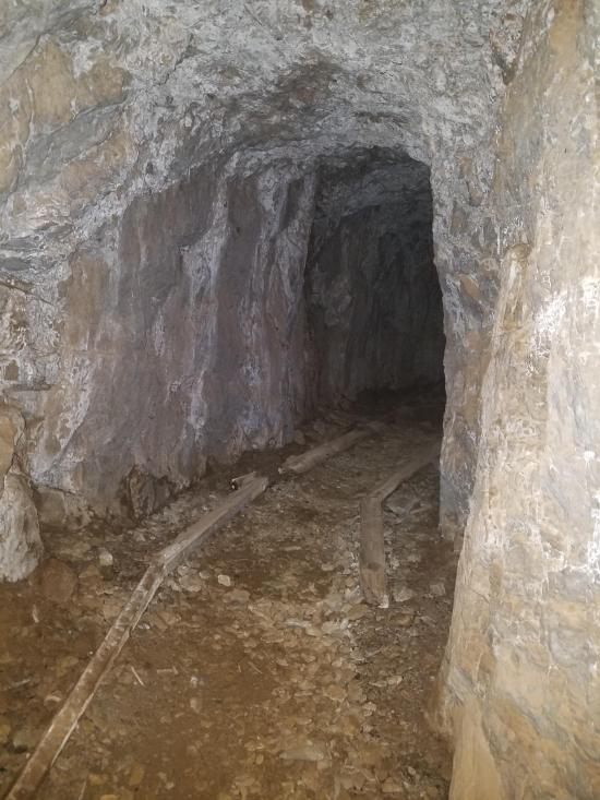
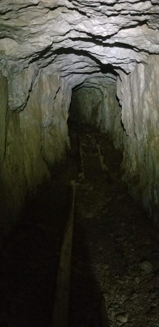
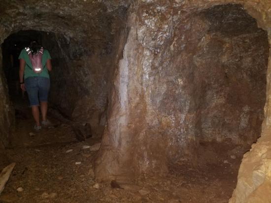
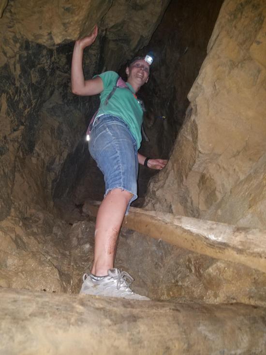
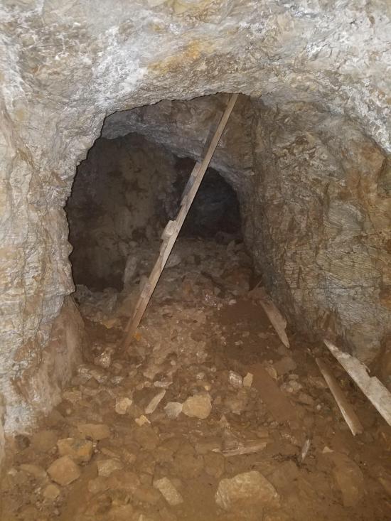
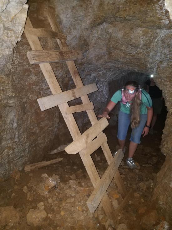
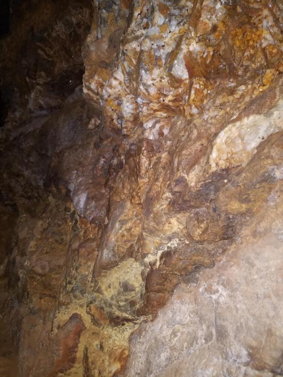
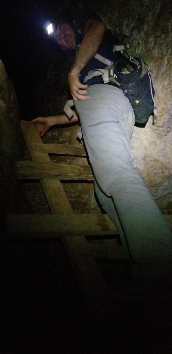
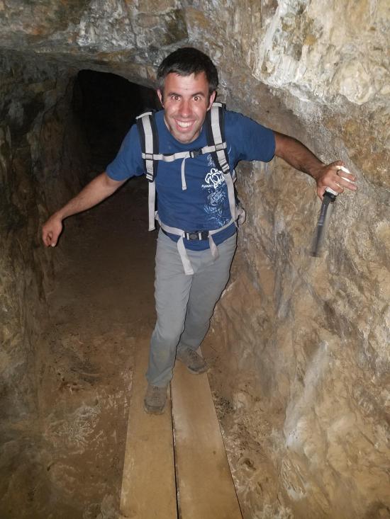
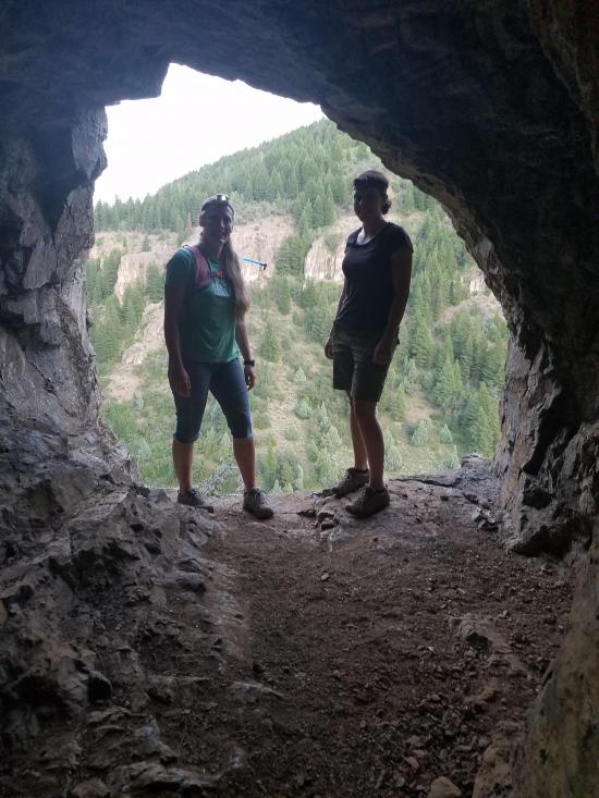
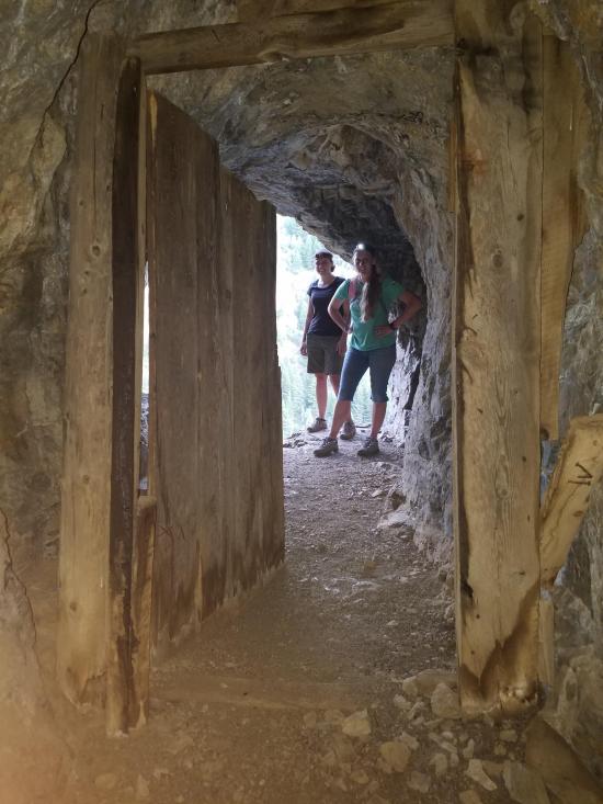
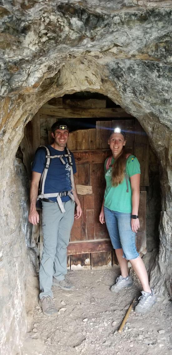
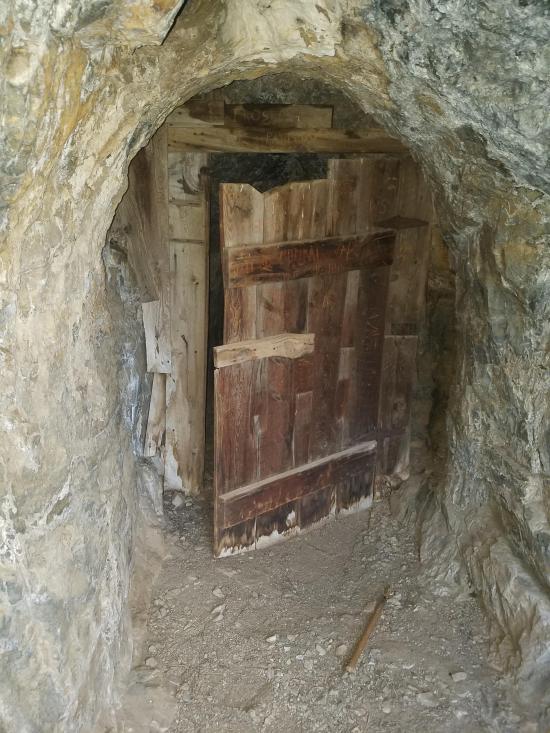
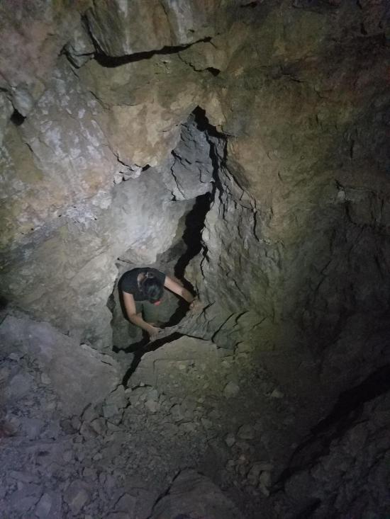
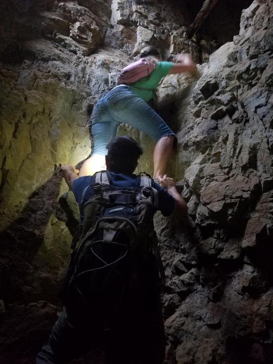
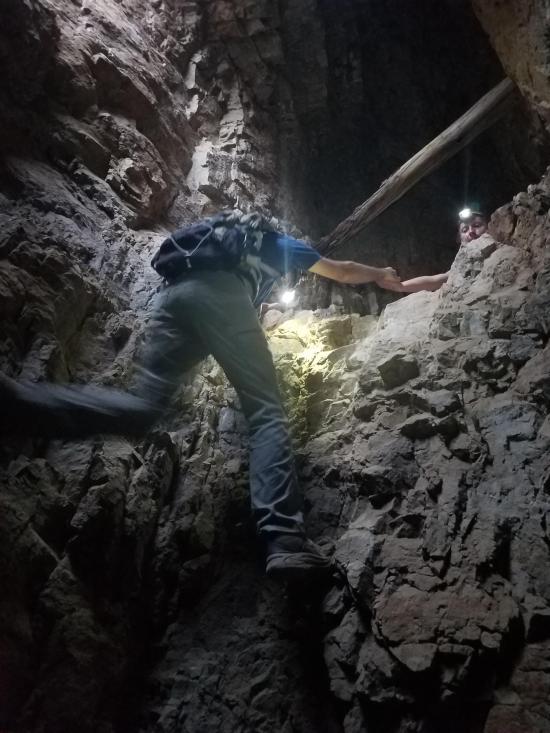
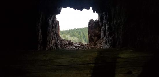
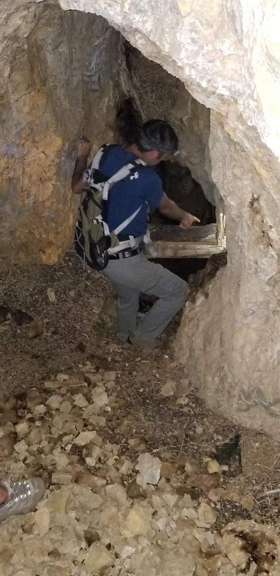
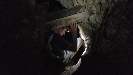
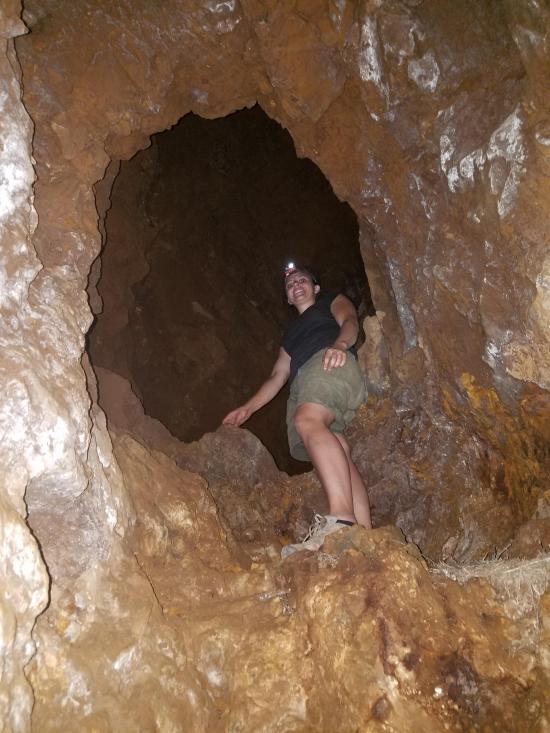
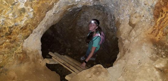
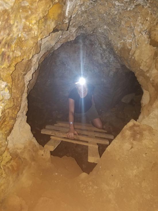
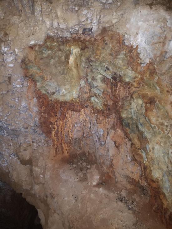
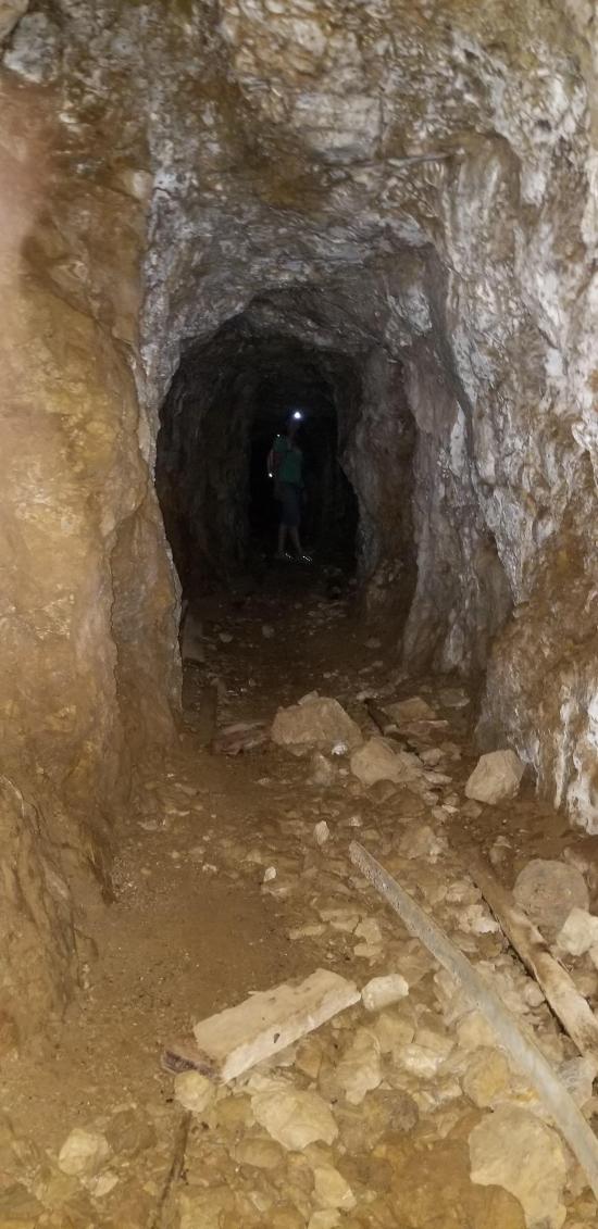
The Lucky Star Mine is mostly horizontal, but there are a couple of vertical shafts to get from one level to the next. There is a wooden ladders (definitely newer than original) for one of the climbs, but the other requires a short bu exposed rock climb. There are two entrances. The lower entrance is open, and the upper entrance has a wooden door, unlocked. Inside the mine are some remnants of track and colorful rocks, but no major ruins.
Plan on most of an hour inside the mine.
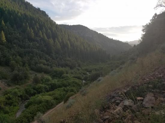
Closest City or Region: Left Hand Fork Blacksmith Fork Canyon, Utah
Coordinates: 41.676548, -111.575960
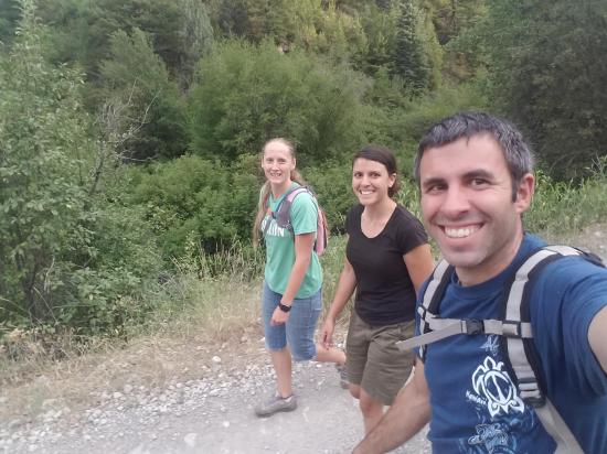
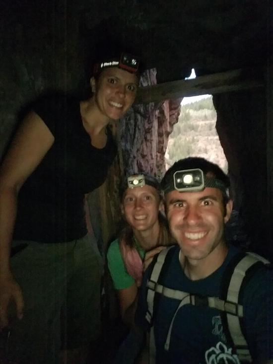
By Jeremy Dye
Jeremy Dye, Tara Dye, Ondylyn Wagner,
7:40 Start hiking from 2WD parking area
7:55 Reach mine tailings, start hiking up
8:10 Entrance to mine, start exploring mine
8:55 Finish exploring mine, start hiking down
9:25 Back to car
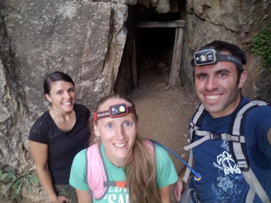
I was pretty stir crazy because everyone else wanted to stay at the Airbnb all day and lounge around, but I wanted to go on an adventure. I finally talked Tara and Ondy into going to Lucky Star Mine with me. We took Ondy's car, which was anything but high clearance. We made it pretty far but had to stop at the giant puddle in the road. So we got out and walked the rest of the way. We paid for a subscription to another website just so we could get coordinates to this mine, but that ended up being a disappointment because the only coordinates they gave were for the trailhead and not for the mine itself. Luckily we were able to triangulate the location of the mine using landmarks in the pictures from the trip report, so not all was lost. We hiked straight up the tailings, which was nearly futile because for every step we took up, we slid back down at least half the distance. After what felt like forever, but what ended up only being about 15 minutes, we made it up to the mine entrance. The entrance is nestled at the bottom of the cliffs, tucked behind some bushes. I pointed out the entrance in one of my pictures so you can see the surrounding landmarks.
Once inside the mine, we explored the lower level first. I was the only one of us that had explored a mine like this before, so it was a pretty fun experience for everyone. Once we finished exploring the lower level, we climbed the ladder to the upper level. We were pleasantly surprised to discover a second entrance with an intact wood door. We also rock climbed up a bit to explore a higher but shorter passage.
On the hike down, I went straight down the tailing pile and got to the bottom in less than 5 minutes. Ondy and Tara discovered the real trail and took the longer but mellower trail down. We got back to the car right as it was getting too dark to see without headlamps.

 Logan Ranger District Visitor Information Center
East Portal Dispersed Campground
Mount Timpanogos Trail from Aspen Grove
Timpooneke Trail to Mount Timpanogos
Logan Ranger District Visitor Information Center
 Mining
 Headlamps required
 No Drinking Water
 No Fires
 Wayfinding
 No Restrooms
 Road Access is Dirt - High Clearance
 Access Road is 2WD Accessible
 Access Road is 4WD


