 Hiking | Gloria Falls Trail


Hype:
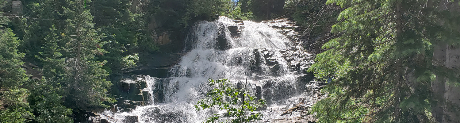
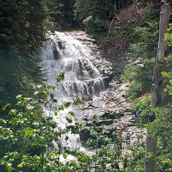
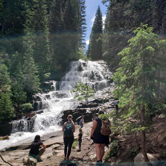
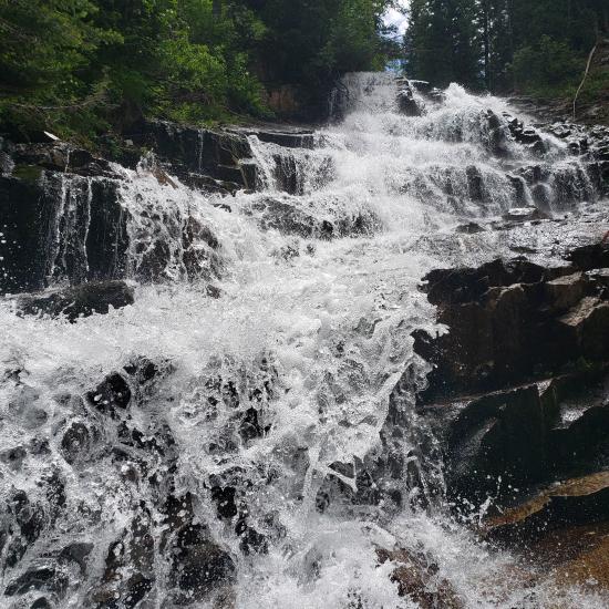
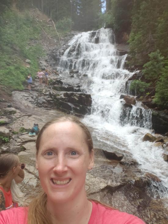
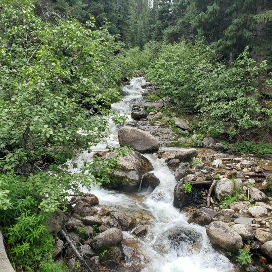
The hike to Gloria falls is short, easy, and family friendly. The trail is generally easy to follow until you reach the bridge and follow social trails up to the falls.
Trail Condition: Class 1 (Trail is either paved or gravel. Navigation skills are not needed because there is only one trail or because there are signs. Elevation gains are gradual or there are stairs.)
Time: 1-2 hours
Length: 2.2 miles round trip
Elevation Gain: 680 ft
Fees: None
Recommended Ages:
 | 0-3 |
 | 4-11 |
 | 12-19 |
 | 20-49 |
 | 50-69 |
 | 70+ |
Recommended Months to Visit:
| Jan |
| Feb |
| Mar |
| Apr |
| May |
| Jun |
| Jul |
| Aug |
| Sep |
| Oct |
| Nov |
| Dec |
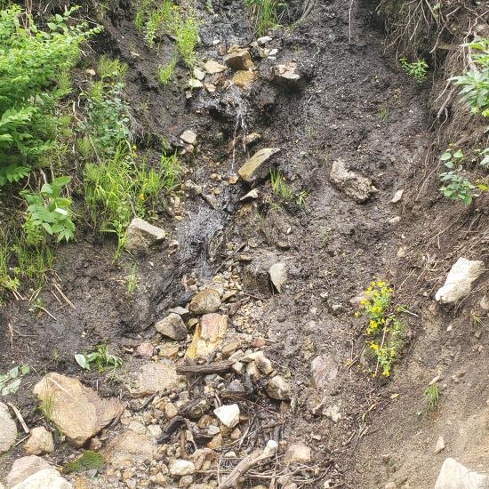
From the trailhead, follow the maintained White Pine Trail for X miles. After about 1 mile, you'll reach a small bridge. Leave the maintained trail and head south on the obvious social trails for 0.1 miles to the falls.
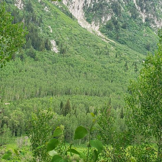
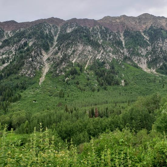
Closest City or Region: Little Cottonwood Canyon, Utah
Coordinates: 40.563902, -111.688621
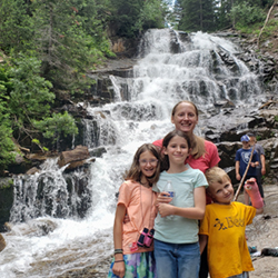
By Tara Dye
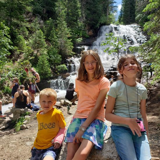
Tara Dye, Savannah Dye, Madilyn Dye, Cooper Dye, Arianne Dye, Miller Dye, Ondylyn Wagner, Killian Wagner, Shaylin Dye, Juni Dye,
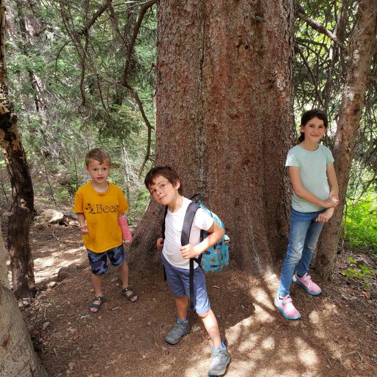
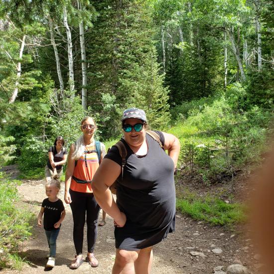
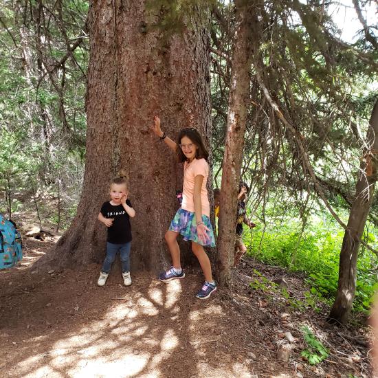
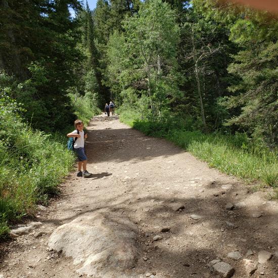
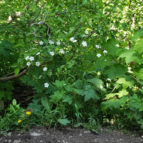
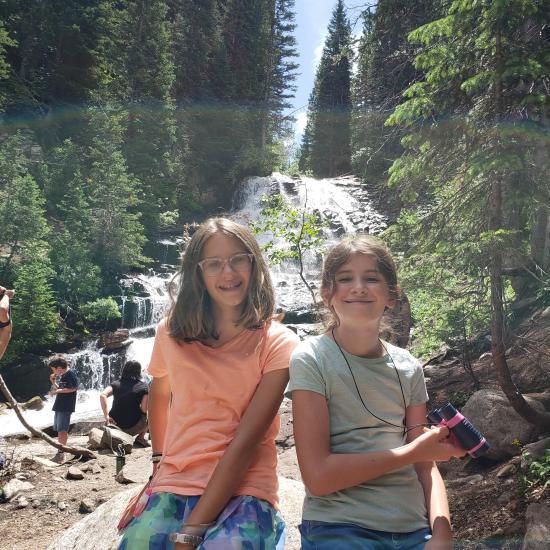
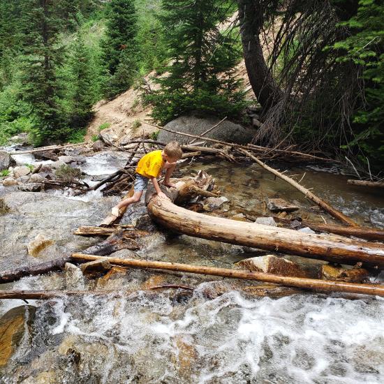
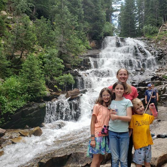
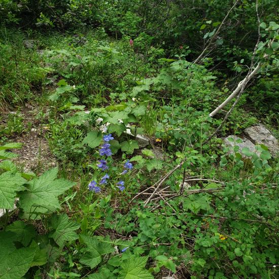
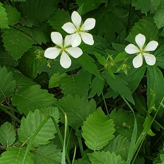
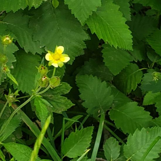
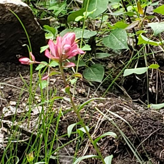
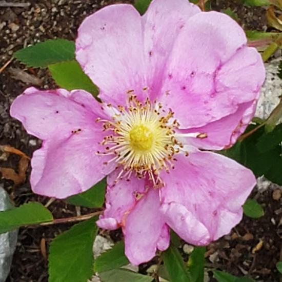
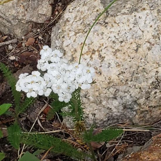
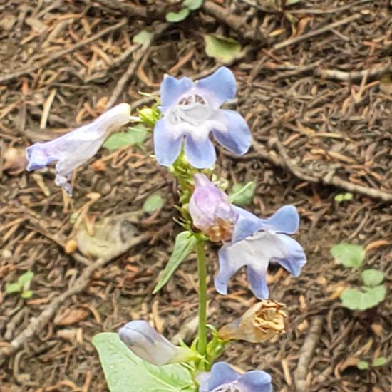
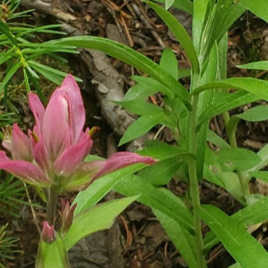
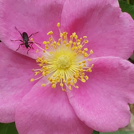
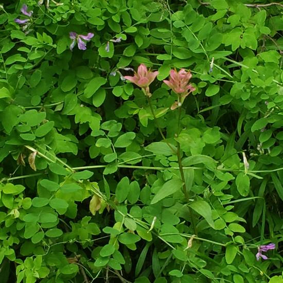
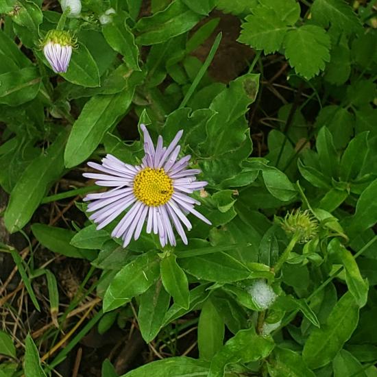
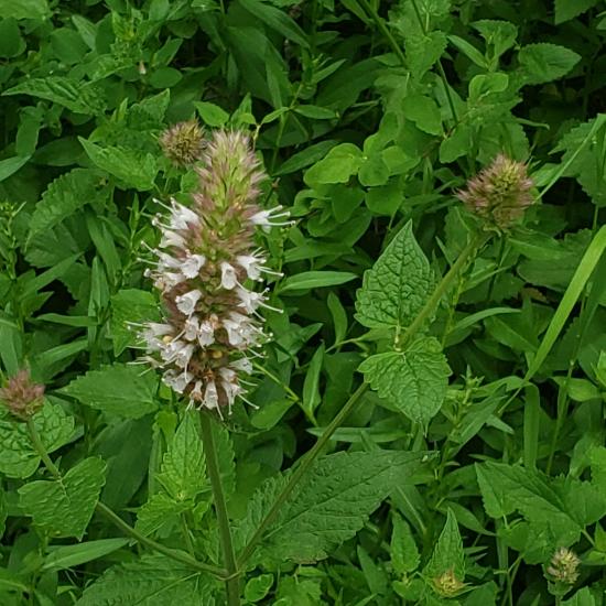
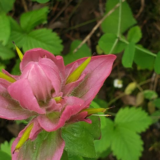
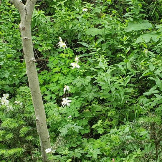
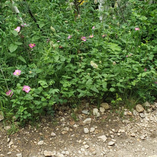
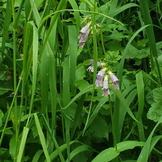
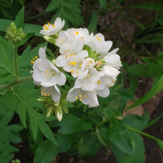
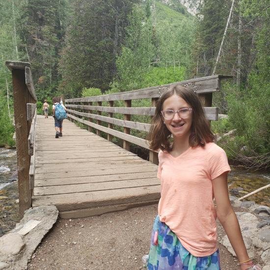
For one of our summer hiking activities, we decided to hike to Gloria Falls since it seems easy to do with little kids. Parking was hard to find due to the popularity of the trail. The hike was just the right difficulty for our group. Savannah stole my phone and took a million pictures of wildflowers.
East Portal Dispersed Campground
Mount Timpanogos Trail from Aspen Grove
Timpooneke Trail to Mount Timpanogos
Logan Ranger District Visitor Information Center
 Waterfalls
 Mountains
 Hiking Trails
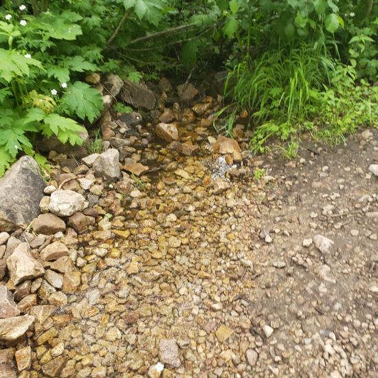
 Non-potable Water - filterable
 Rivers and Streams
 Marked Trails
 Restrooms - Vault
 Road Access is Paved
 Access Road is 2WD Accessible
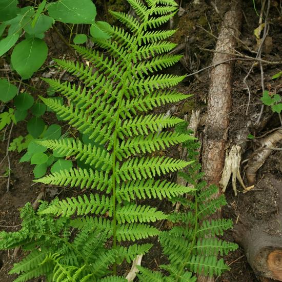
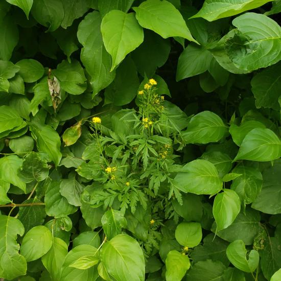
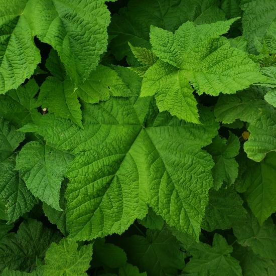
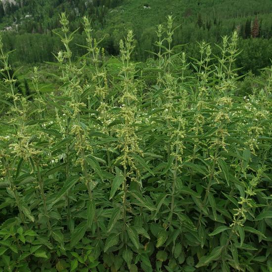
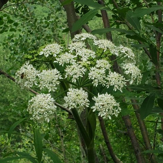
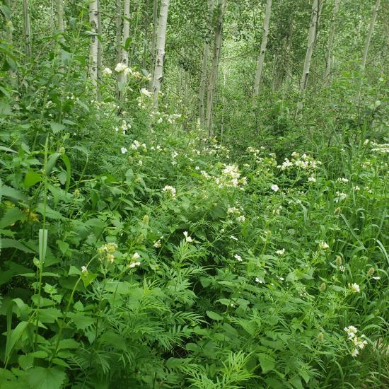
 Wildflowers and Vegitation
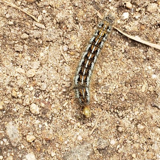
 Wildlife and Birding