 Hiking | Double Falls


Hype:
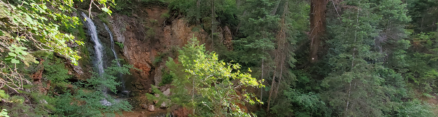
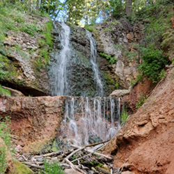
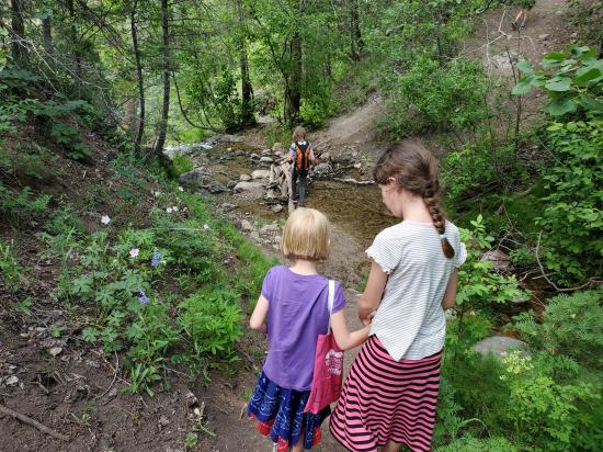
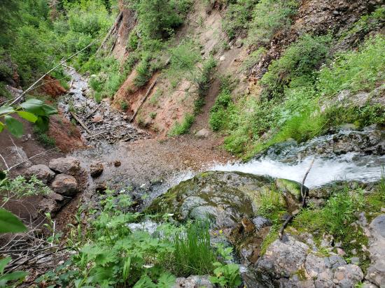
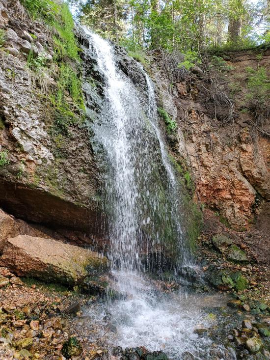
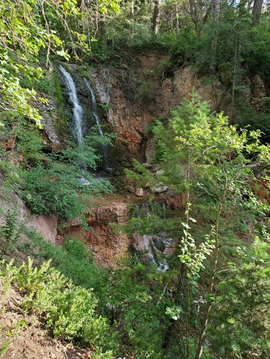
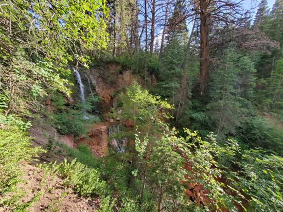
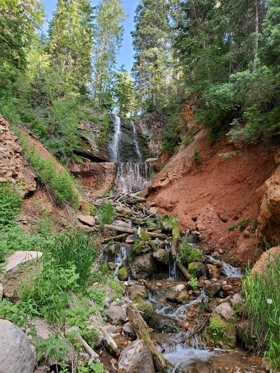
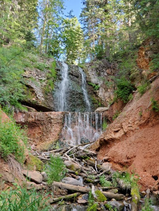
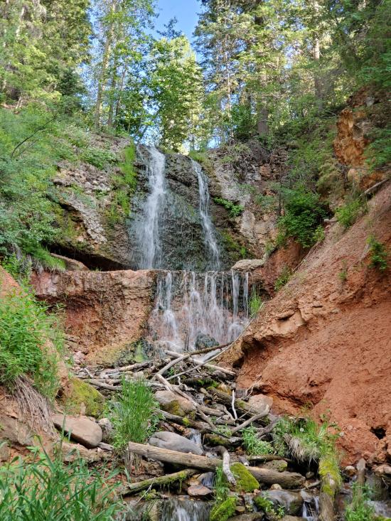
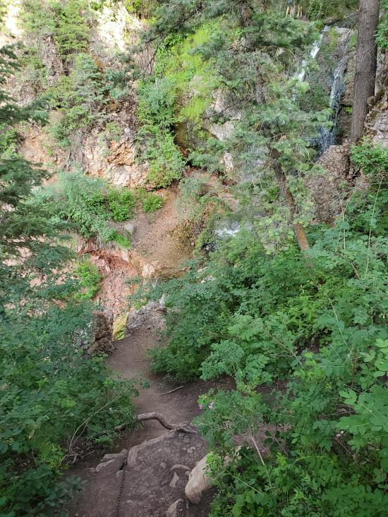
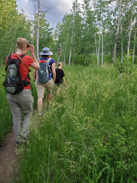
This easy trail in Payson Canyon takes hikers to Double Falls, a spectacular double waterfall on Wimmer Ranch Creek. The trail is generally easy to follow and leads to the top of the falls. If you wish to see the falls from below, the west bank is much easier to climb down than the east bank.
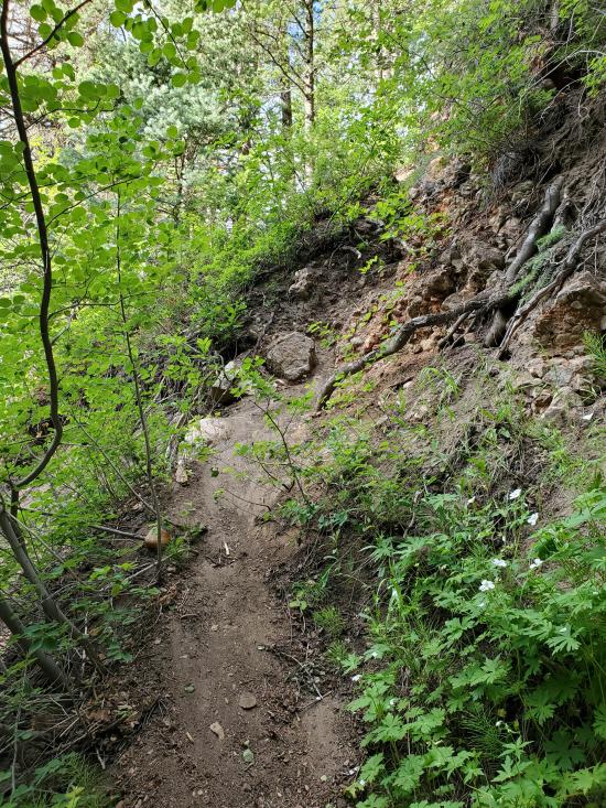
Trail Condition: Class 2 (Trail may have tree roots or rocks jutting out. Navigation skills may consist of following rock cairns and choosing turns at junctions. Elevation gains may be more substantial.)
Time: 1 hour
Length: 0.66 miles round trip
Elevation Gain: 200 ft
Fees: None
Recommended Ages:
 | 0-3 |
 | 4-11 |
 | 12-19 |
 | 20-49 |
 | 50-69 |
 | 70+ |
Recommended Months to Visit:
| Jan |
| Feb |
| Mar |
| Apr |
| May |
| Jun |
| Jul |
| Aug |
| Sep |
| Oct |
| Nov |
| Dec |
Navigate to 39.942884, -111.656518.
Park in the parking area on the north side of the road and walk down the hill to the east to get to the trailhead.
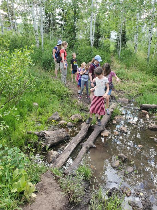
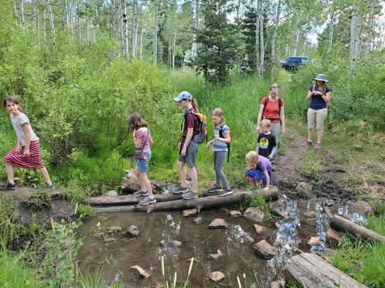
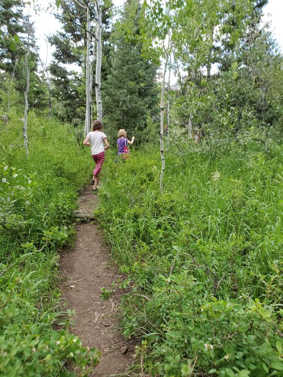
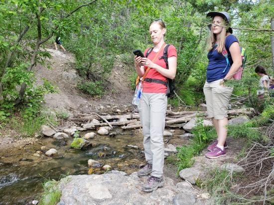
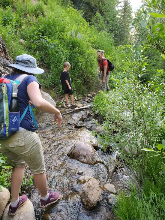
The trailhead for Double Falls is hidden at the back of a clearing which people often use for camping, so you may need to tromp through their camp to get to the trailhead. Once you find the trail, it's an easy walk through the forest to get to Double Falls. Just follow the well-traveled trail.
Closest City or Region: Payson Canyon, Utah
Coordinates: 39.945843, -111.653179
By Jeremy Dye
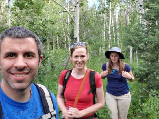
Jeremy Dye, Tara Dye, Savannah Dye, Madilyn Dye, Cooper Dye, Marci Parker, Callie Parker, Wade Parker, Aria Parker, Lillian Parker,
Start: 6:50
Waterfall: 7:10
We did a quick evening hike with the Parkers to Double Falls. I was very surprised we hadn't heard of this hike before now. The waterfall was very fun, and we forged a path down to the bottom of the falls. The west side was definitely more accessible. One the hike back, it was dusk, and we got eaten alive by mosquitoes.
East Portal Dispersed Campground
Mount Timpanogos Trail from Aspen Grove
Timpooneke Trail to Mount Timpanogos
Logan Ranger District Visitor Information Center
 Waterfalls
 Rivers and Streams
 Mountains
 Hiking Trails
 Non-potable Water - filterable
 Wayfinding
 No Restrooms
 Road Access is Paved
 Access Road is 2WD Accessible
 Viewpoint, Overlooks, Vistas
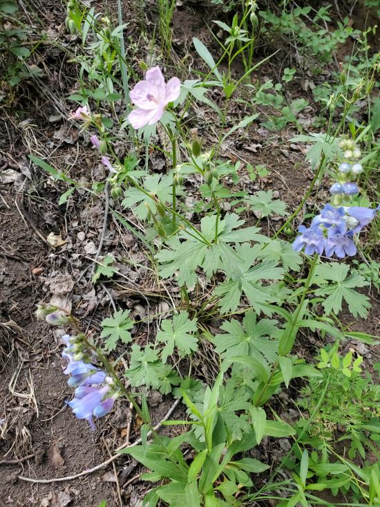
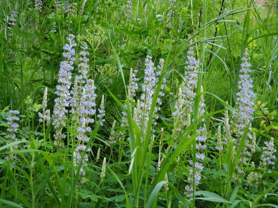
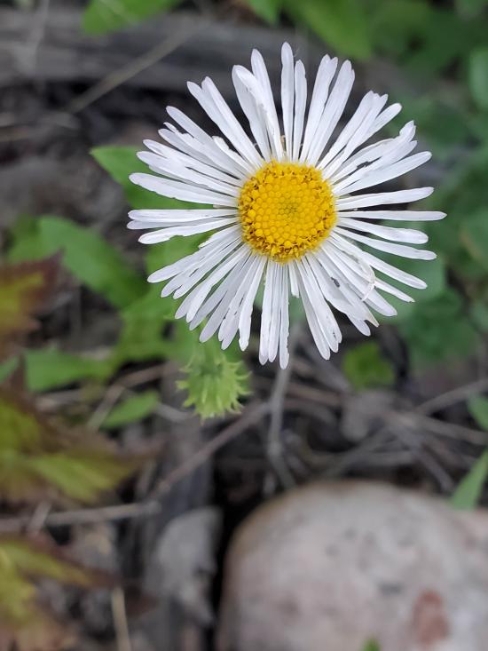
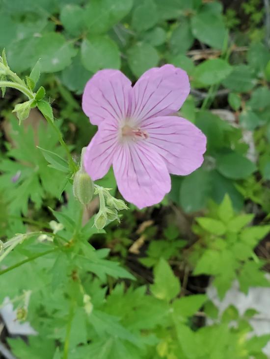
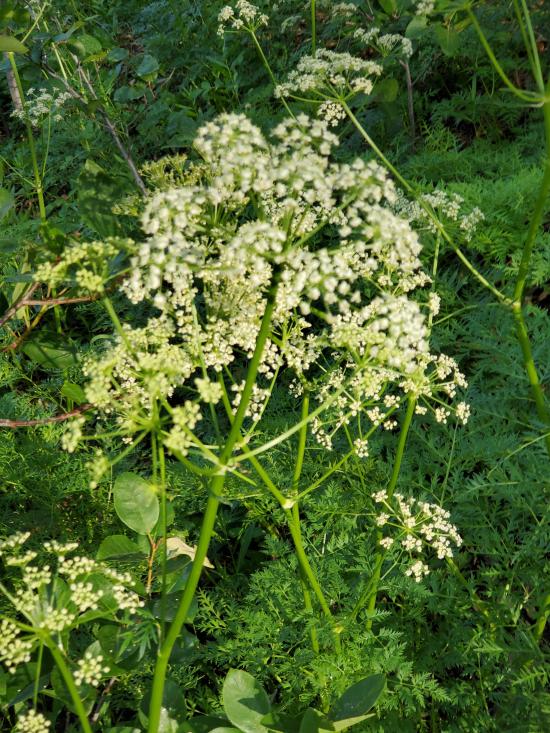
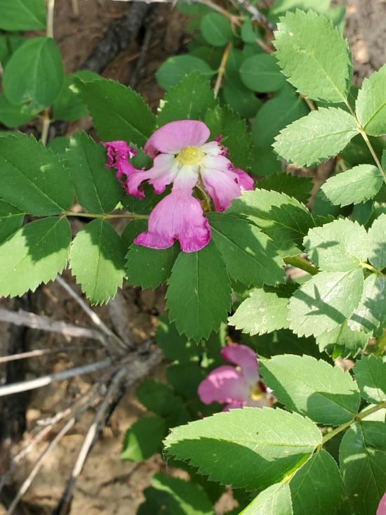
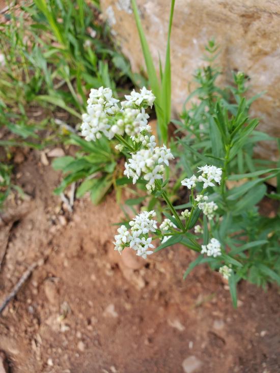
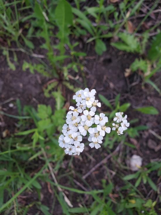
 Wildflowers and Vegitation
 Wildlife and Birding