 Hiking | Casto Canyon Trail


Hype:
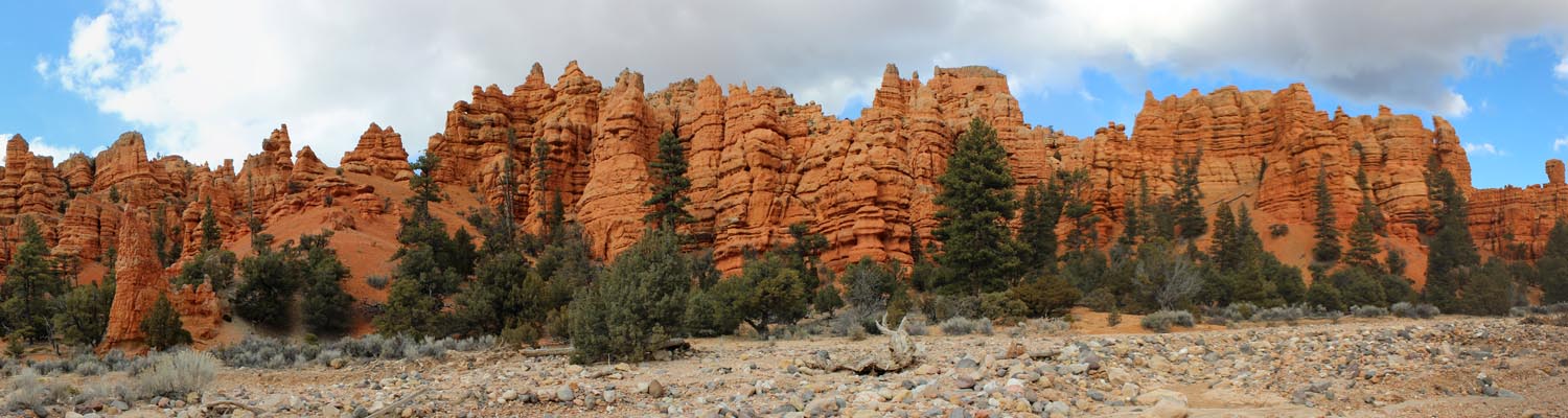
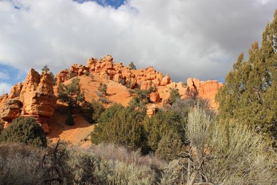
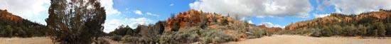
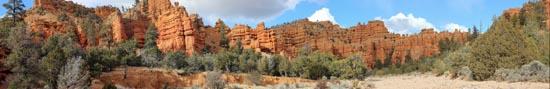
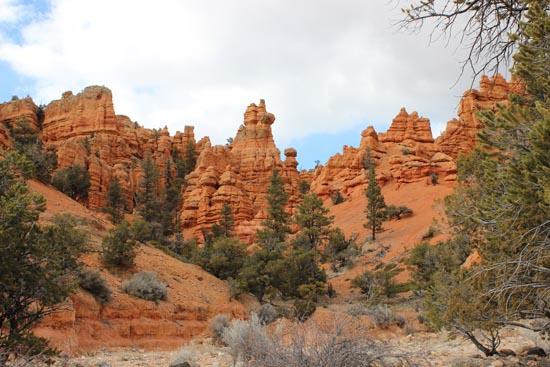
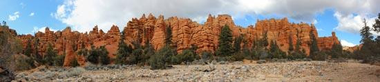
Hike as far up this OHV trail as you want. You will see lots of red sandstone hoodoos and beautiful scenery.
Trail Condition: Class 2 (Trail may have tree roots or rocks jutting out. Navigation skills may consist of following rock cairns and choosing turns at junctions. Elevation gains may be more substantial.)
Time: Up to 1 day
Length: Up to 25 miles one way
Elevation Gain: 840
Fees: None
Recommended Ages:
 | 0-3 |
 | 4-11 |
 | 12-19 |
 | 20-49 |
 | 50-69 |
 | 70+ |
Recommended Months to Visit:
| Jan |
| Feb |
| Mar |
| Apr |
| May |
| Jun |
| Jul |
| Aug |
| Sep |
| Oct |
| Nov |
| Dec |
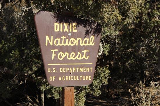
Links: National Forest Service
Navigate to 37.784183, -112.330997.
Closest City or Region: Red Canyon, Utah
Coordinates: 37.784183, -112.330997
By Jeremy Dye
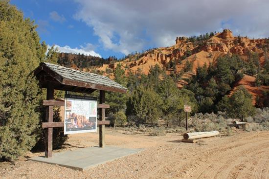
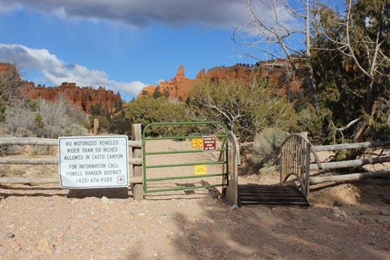
On my way back from Kanab, I stopped and quickly hiked up a portion of the Casto Canyon Trail. The trail is really long and goes up a cobble-filled wash, which is hard on the feet. The canyon is extremely scenic with excellent views of hoodoo cliffs. This canyon is definitely best done on horses, motorcycles, or ATVs.

Panguitch Lake North Campground
Skutumpah Road Primitive Camping
Shakespeare Arch/Sentinel Trail
Bryce Canyon National Park Visitor Center
Bryce Canyon Wranglers at Ebenezer's Barn and Grill
 Hiking Trails
 Hoodoos
 No Drinking Water
 Mountains
 Wayfinding
 No Restrooms
 Road Access is Dirt - Low Clearance
 Access Road is 2WD Accessible
 Viewpoint, Overlooks, Vistas
 Wildflowers and Vegitation
 Wildlife and Birding