 Hiking | Watson Falls Trail


Hype:
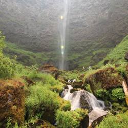
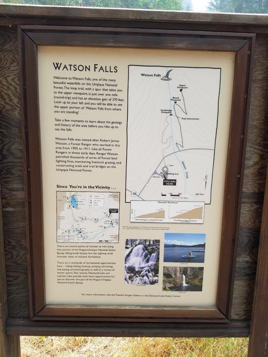
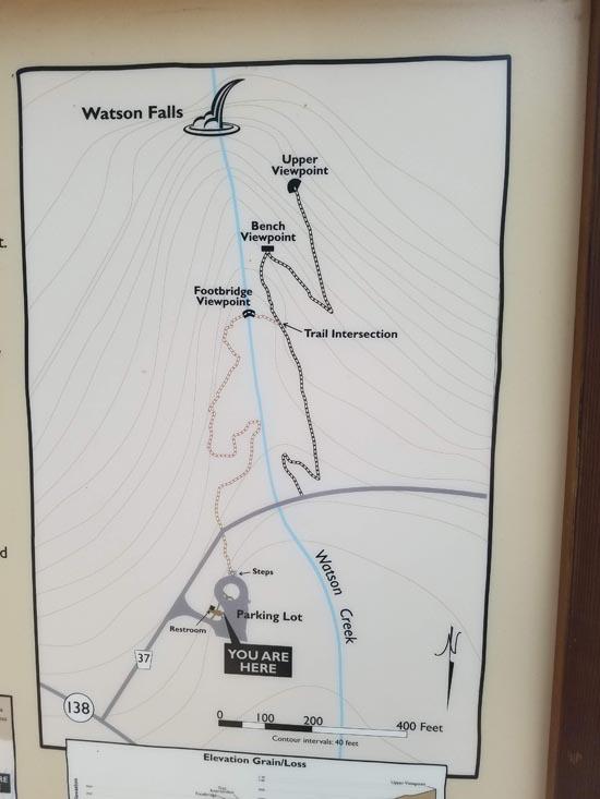
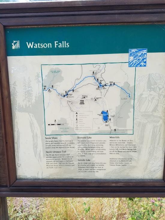
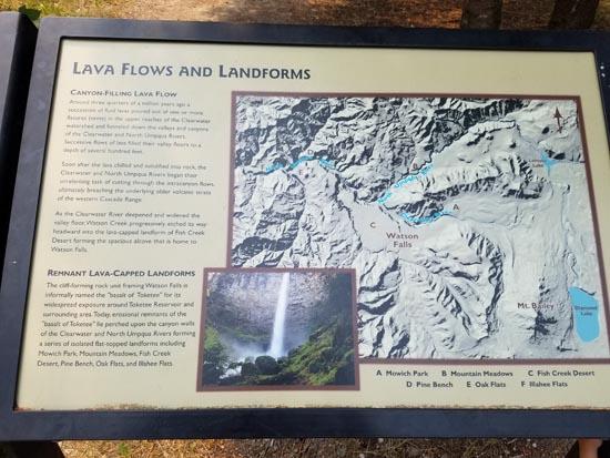
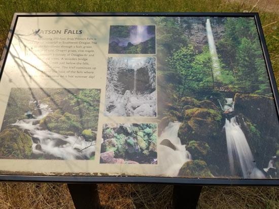
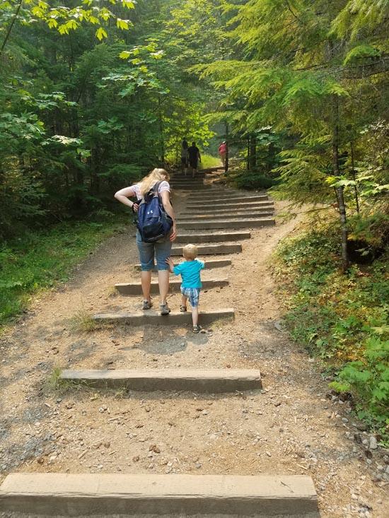
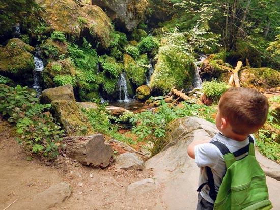
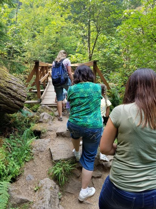
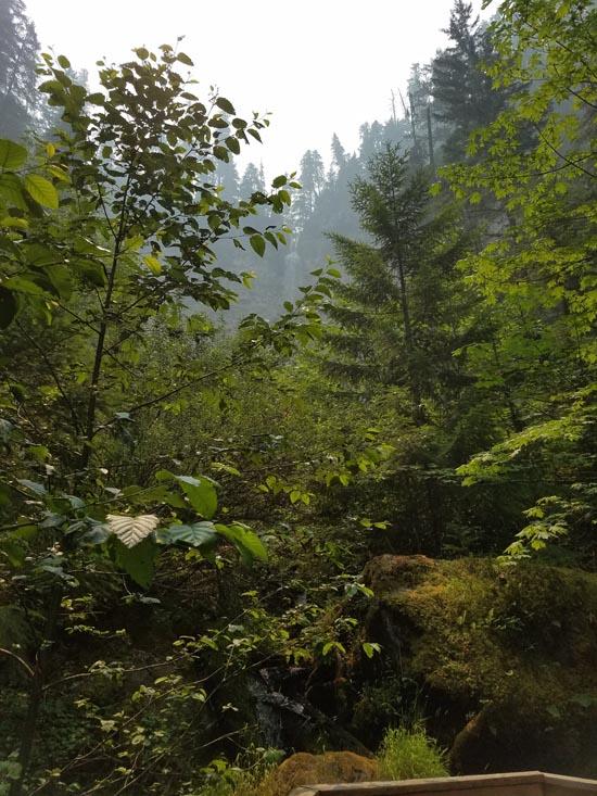
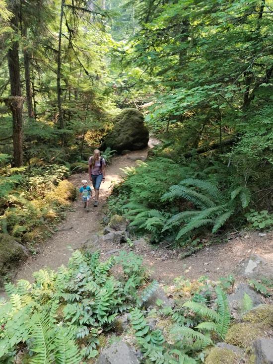
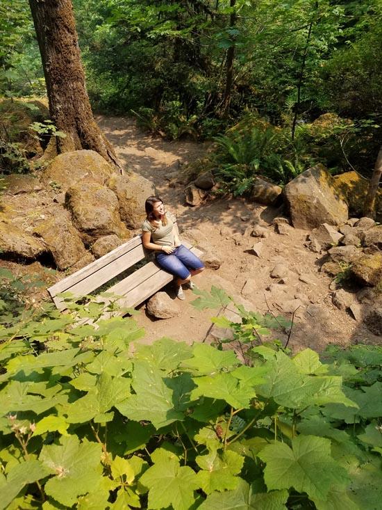
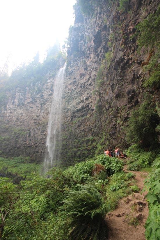
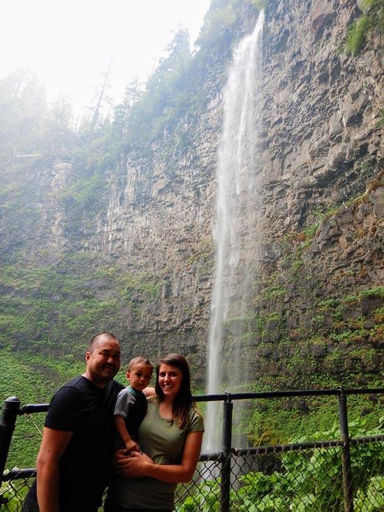
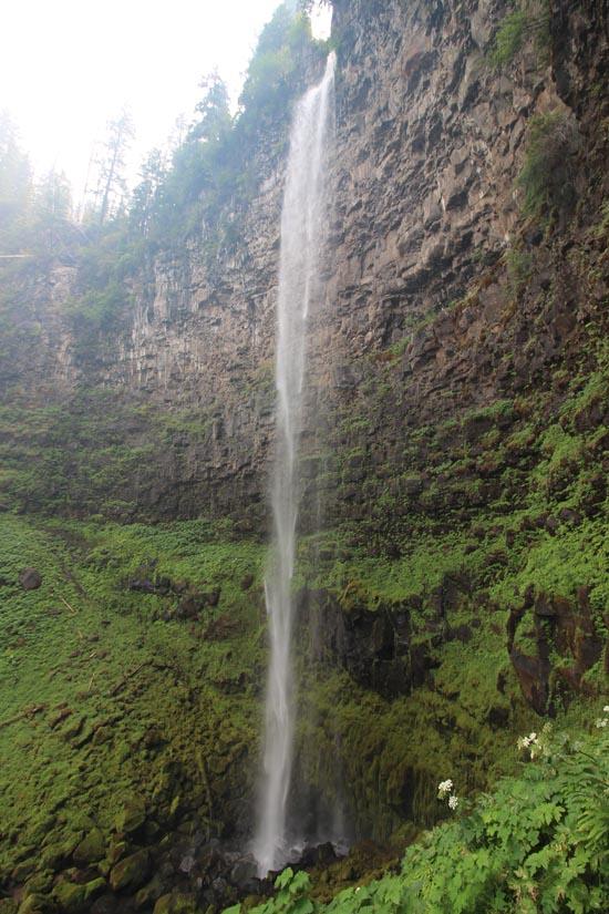
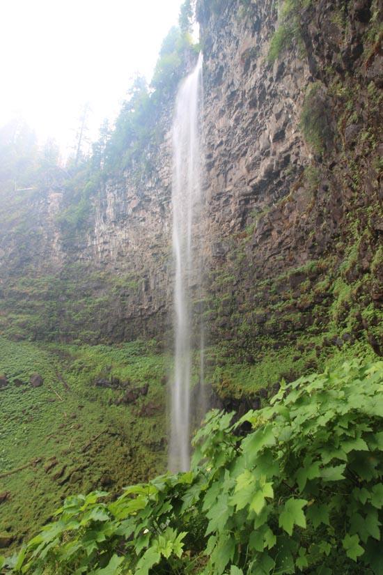
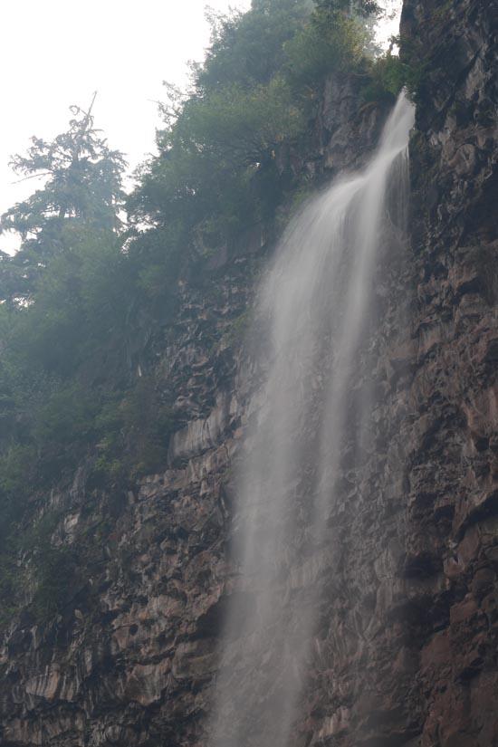
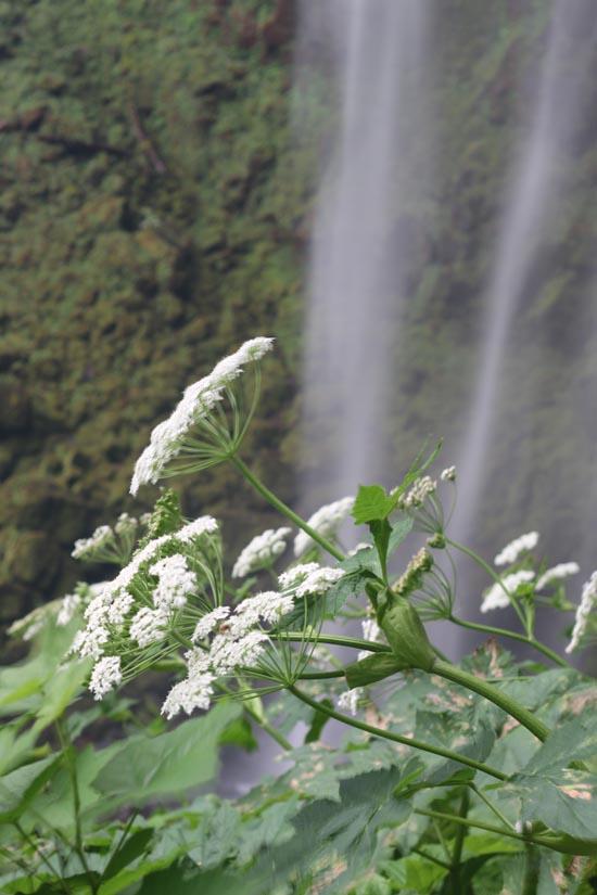
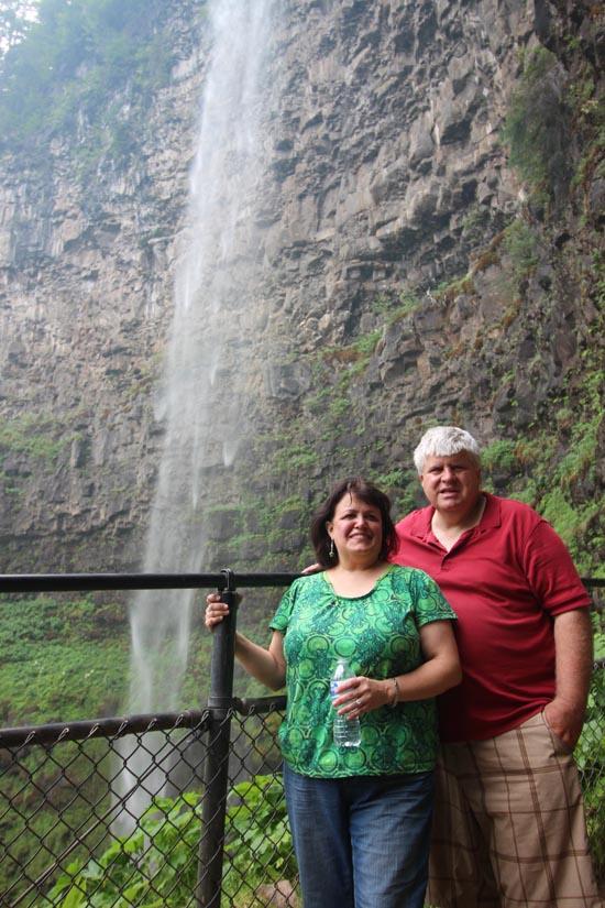
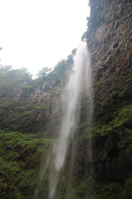
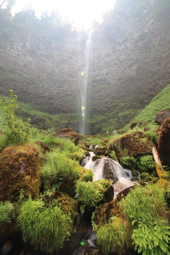
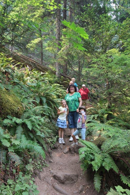
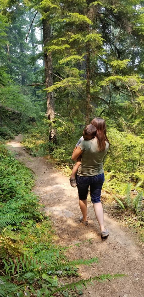
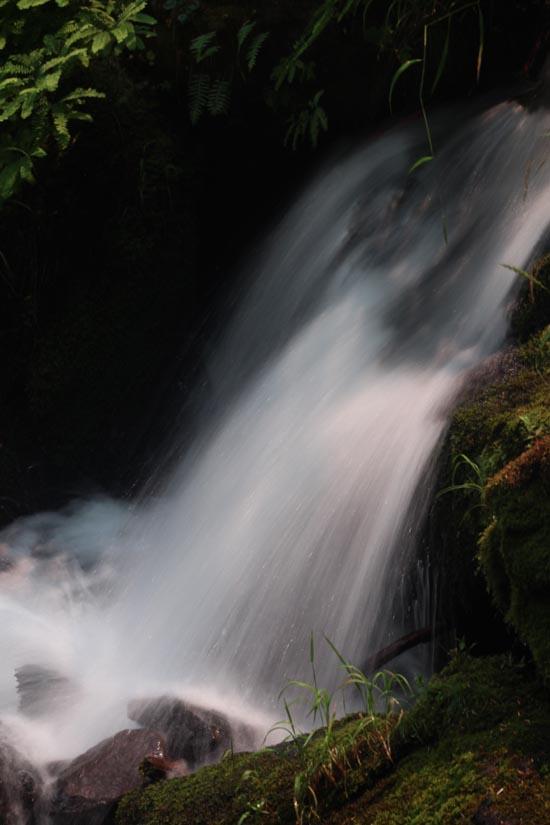
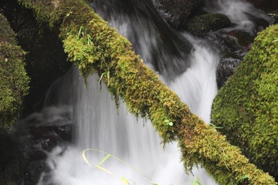
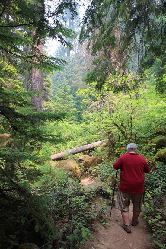
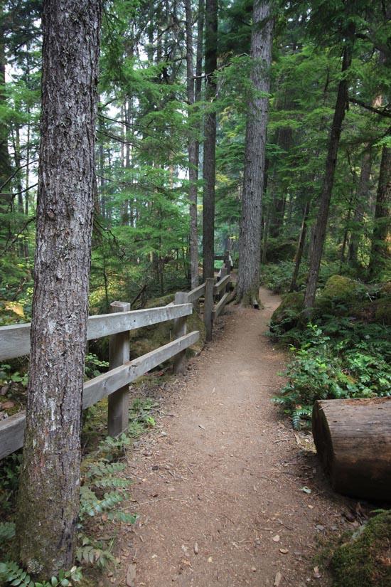
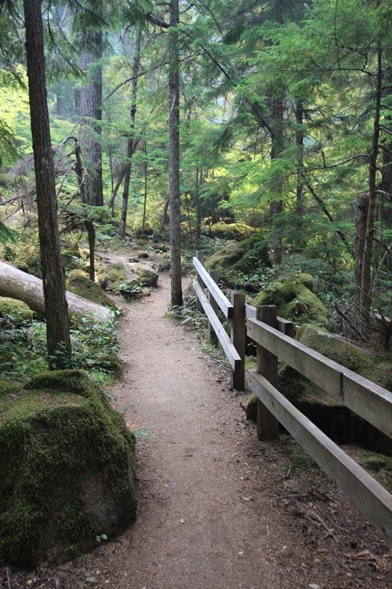
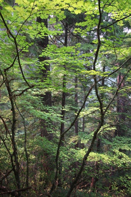
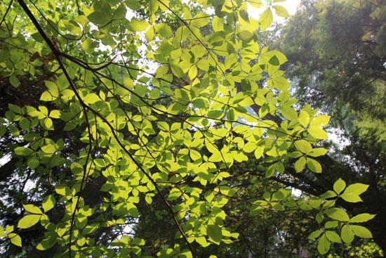
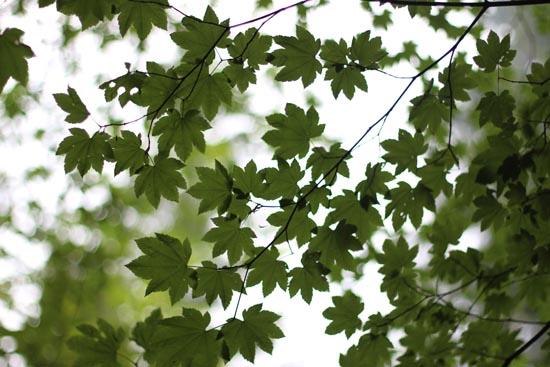
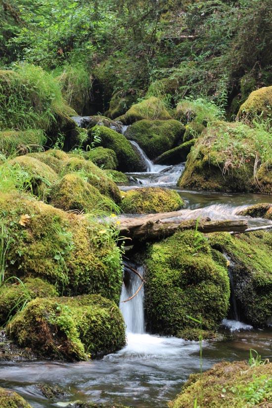
Watson Falls is the highest waterfall in Southwest Oregon and the third highest in the state with a stunning 294-foot drop over a basalt lava flow. The trail begins across from the trailhead on the other side of Forest Road 37. The trail climbs through a lush, green understory of salal, Oregon grape, vine maple, and ferns with an overstory of Douglas-fir and hemlock trees. A wooden bridge crosses Watson Creek and offers an excellent view of the spectacular falls. For those willing to trek a little off the beaten path, just north of the bridge is a path to the base of the falls, where you can get a closer view of both the falls and the lush vegetation that grows in its cool mist. After hiking back to the trail, the trail then loops back to Forest Road 24.
Trail Condition: Class 2 (Trail may have tree roots or rocks jutting out. Navigation skills may consist of following rock cairns and choosing turns at junctions. Elevation gains may be more substantial.)
Time: 1-2 hours
Length: 0.5 miles round trip
Elevation Gain: 400 ft
Fees: none
Recommended Ages:
 | 0-3 |
 | 4-11 |
 | 12-19 |
 | 20-49 |
 | 50-69 |
 | 70+ |
Recommended Months to Visit:
| Jan |
| Feb |
| Mar |
| Apr |
| May |
| Jun |
| Jul |
| Aug |
| Sep |
| Oct |
| Nov |
| Dec |
Links: www.fs.usda.gov
Navigate to 43.241924, -122.390697.
From Roseburg, OR, turn onto OR-138 east / northeast Diamond Lake Boulevard. Continue on Highway 138 to milepost 60.5 and turn south onto Forest Road 37 (Fish Creek Road). The parking area is about 0.2 mile on the right and is large enough for trucks and trailers to pull through.
Closest City or Region: Umpqua National Forest
Coordinates: 43.241924, -122.390697
By Jeremy Dye
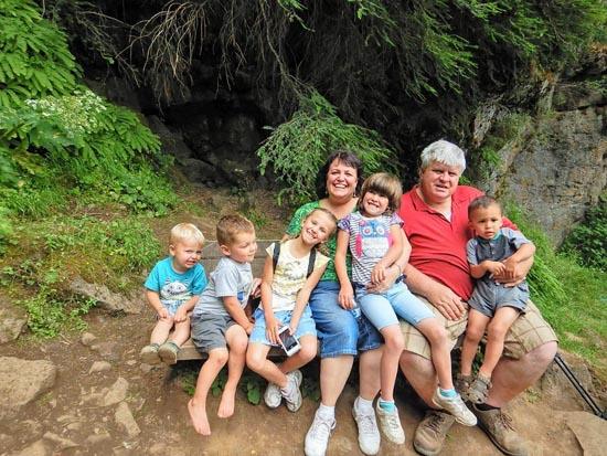
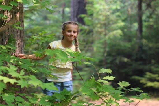
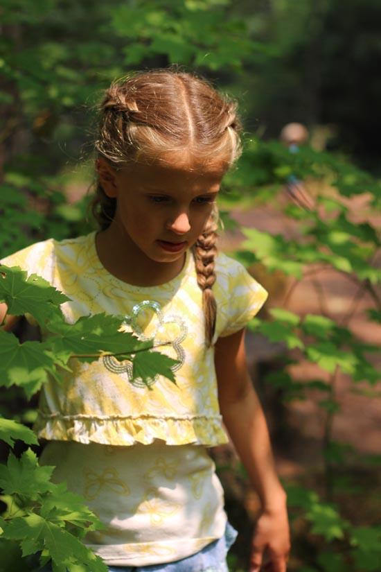
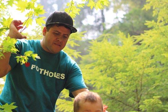
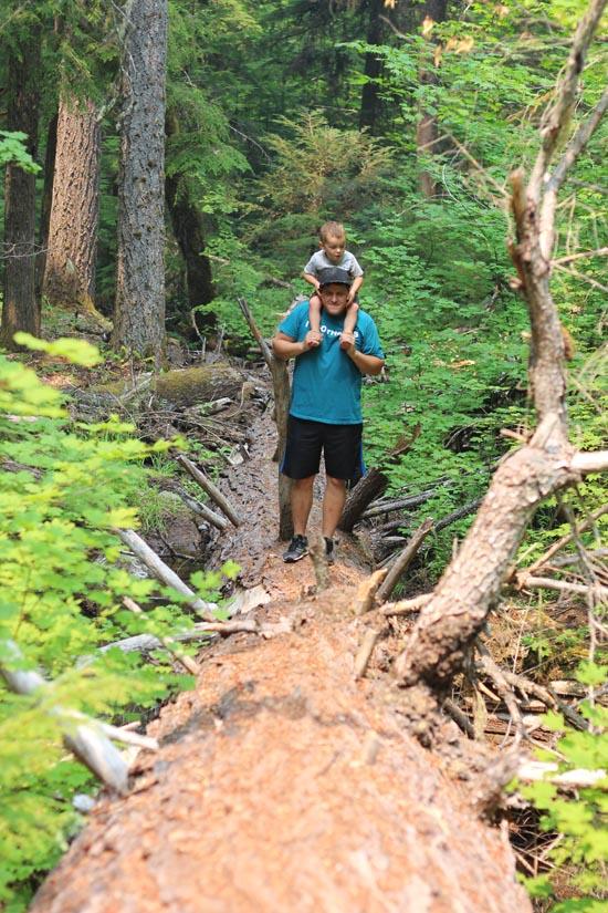
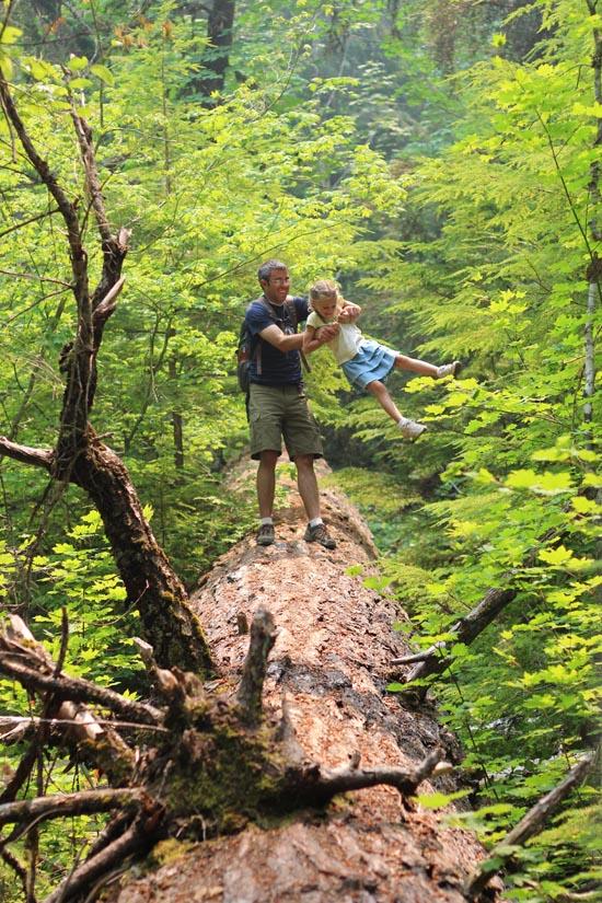
Jeremy Dye, Tara Dye, Savannah Dye, Madilyn Dye, Cooper Dye, Greg Dye, Laura Dye, Anthony Dye, Arianne Dye, Miller Dye, Ondylyn Wagner, Jaren Wagner, Killian Wagner,
We started hiking at around 12:10 and got back to the parking area around 1:25.
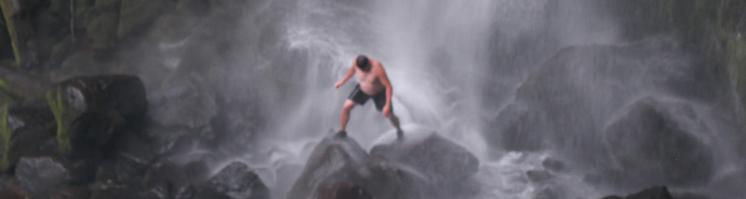
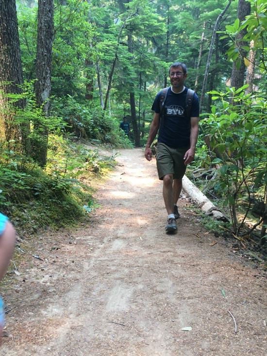
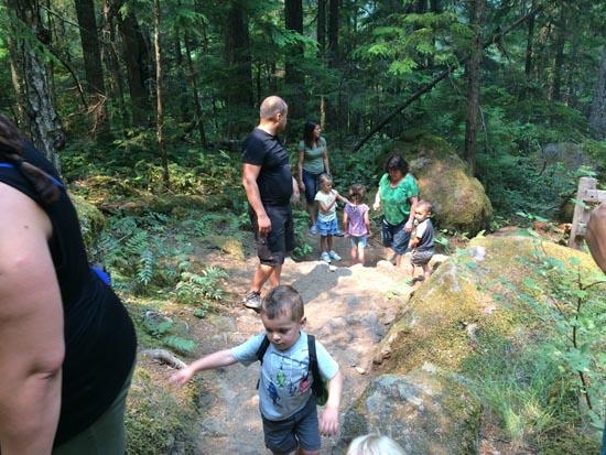
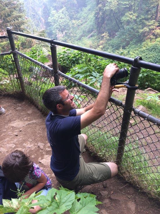
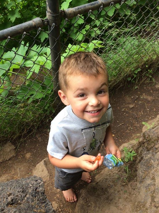
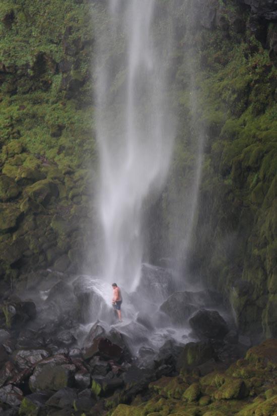
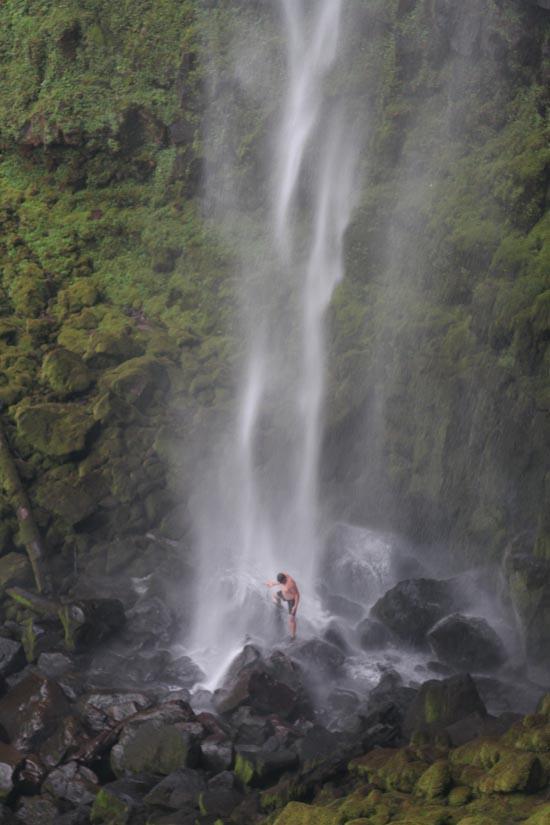
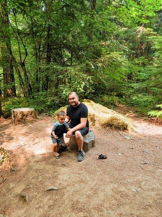
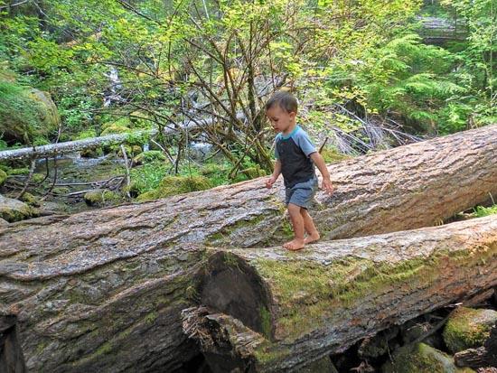
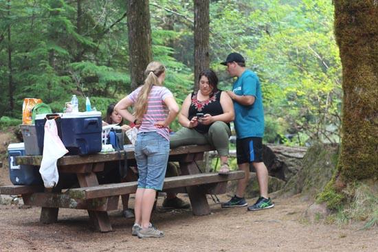
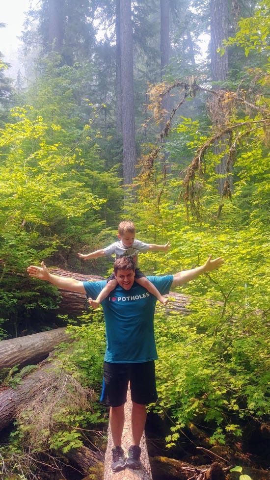
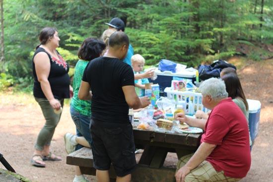
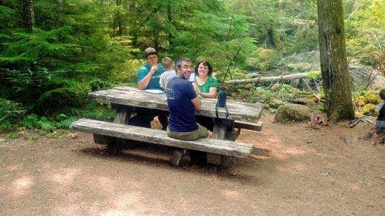
We hiked up to Watson Falls. At the top we took a bunch of pictures. Then Anthonoy decided to go stand underneith the waterfall. My camera wasn't fast enough, so I made him go back under so we could get a picture. Then we all hiked back down and had a picnic at one of the picnic tables near the parking lot.


 Thomas H. Kuchel Visitor Center
 Devastated Area Interpretive Trail
 Non-potable Water - not filterable
 Waterfalls
 Rivers and Streams
 Mountains
 Marked Trails
 Picnic Tables
 Road Access is Paved
 Access Road is 2WD Accessible
 Interpretive Signs
 Viewpoint, Overlooks, Vistas
 Hiking Trails
 Wildflowers and Vegitation
 Wildlife and Birding
