 Hiking | Devastated Area Interpretive Trail


Hype:
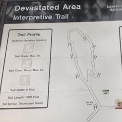
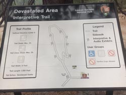
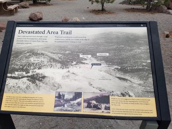
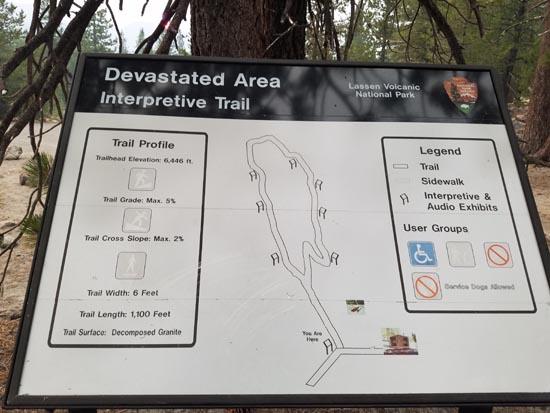
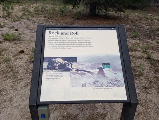
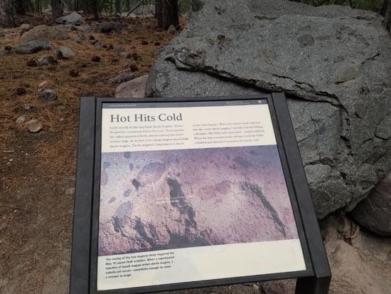
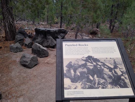
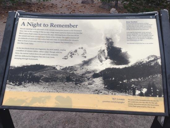
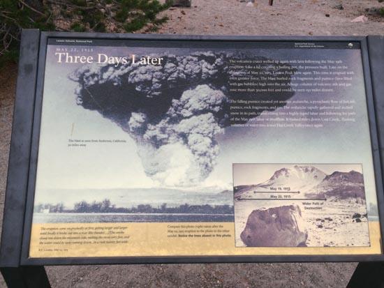
Offering excellent views of the east side of Lassen Peak, this easy walk introduces visitors to effects of the Lassen Peak eruptions. A short ways in, the trail forks and can be followed in either direction. Wandering through pink and gray lava rocks, interpretive plaques along the trail describe the creation of the devastated area and the remnants it left behind. This short, informative trail is an excellent choice for families or those unable to take longer trails.
Trail Condition: Class 1 (Trail is either paved or gravel. Navigation skills are not needed because there is only one trail or because there are signs. Elevation gains are gradual or there are stairs.)
Time: 10-15 minutes
Length: 0.27 miles round trip
Elevation Gain: Negligible
Fees: Entrance Fee
Recommended Ages:
 | 0-3 |
 | 4-11 |
 | 12-19 |
 | 20-49 |
 | 50-69 |
 | 70+ |
Recommended Months to Visit:
| Jan |
| Feb |
| Mar |
| Apr |
| May |
| Jun |
| Jul |
| Aug |
| Sep |
| Oct |
| Nov |
| Dec |
Links: www.nps.gov
Navigate to 40.515928, -121.464850.
Closest City or Region: Lassen Volcanic National Park
Coordinates: 40.515928, -121.464850
By Jeremy Dye
Jeremy Dye, Tara Dye, Savannah Dye, Madilyn Dye, Cooper Dye,
We stopped at the Devastated Area for dinner. I fixed dinner while Tara walked the trail.
 Thomas H. Kuchel Visitor Center
 Devastated Area Interpretive Trail
Devastated Area Interpretive Trail
 Marked Trails
 Picnic Tables
 Restrooms - Vault
 Road Access is Paved
 Access Road is 2WD Accessible
 Interpretive Signs
 Walking Trails
 Wildflowers and Vegitation
 Volcanoes
