 Fun Places | Payson Pioneer Fort


Hype:
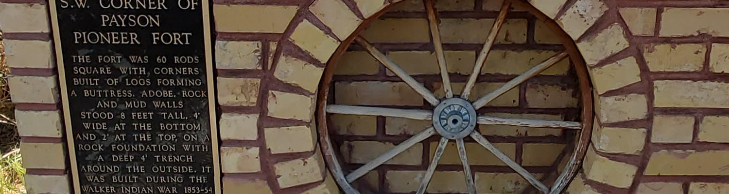
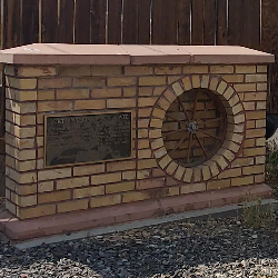
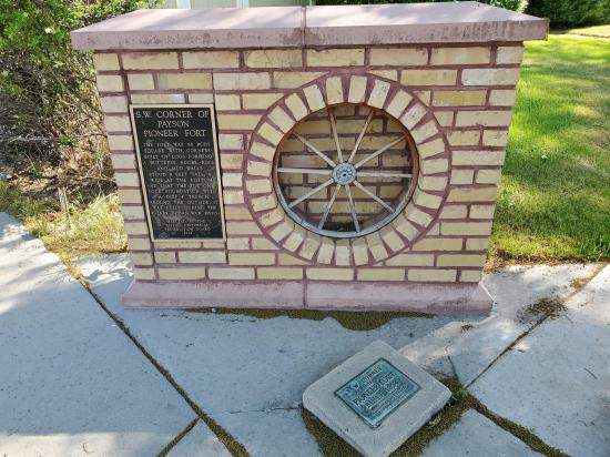
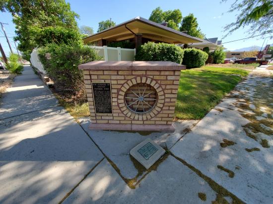
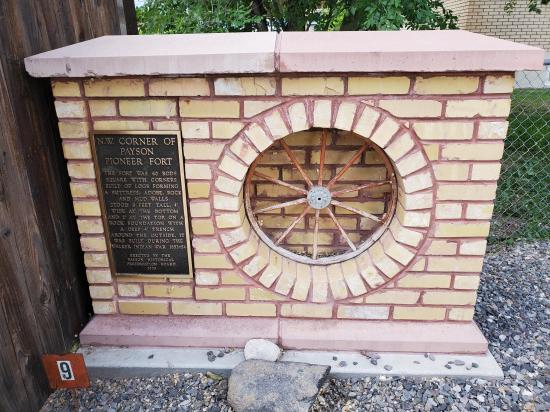
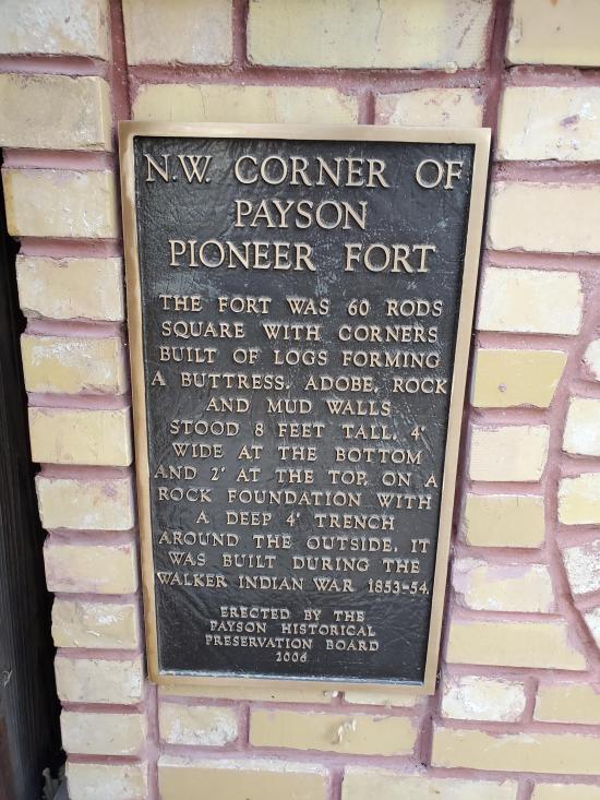
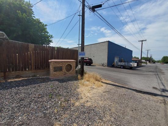
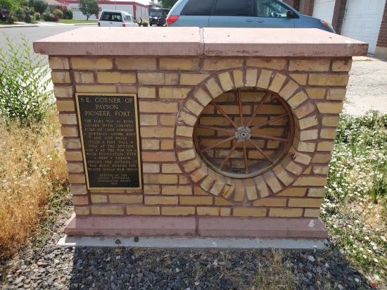
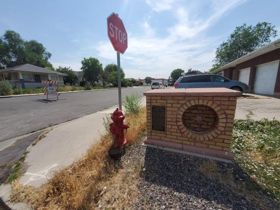
The fort was 60 rods square with corners built of logs forming a buttress. Adobe, rock, and mud walls stood 8 feet tall. 4' wide at the bottom and 2' at the top, on a rock foundation with a deep 4' trench around the outside. It was built during the Walker Indian War 1853-54.
Time:
Fees: None
Recommended Ages:
 | 0-3 |
 | 4-11 |
 | 12-19 |
 | 20-49 |
 | 50-69 |
 | 70+ |
Recommended Months to Visit:
| Jan |
| Feb |
| Mar |
| Apr |
| May |
| Jun |
| Jul |
| Aug |
| Sep |
| Oct |
| Nov |
| Dec |
Navigate to 40.043862, -111.729614.
By Jeremy Dye
Jeremy Dye, Tara Dye, Savannah Dye, Madilyn Dye, Cooper Dye, Greg Dye,
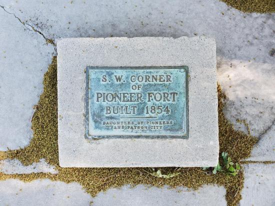
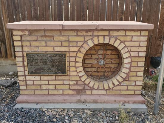
We stopped at several of the pioneer fort monuments as part of the scavenger hunt for Payson City's rebranding event.
 Peteetneet Museum and Cultural Arts Center
 Pioneer
 Monuments
 Road Access is Paved
 Access Road is 2WD Accessible
 No Restrooms
 No Drinking Water


