 Hiking | Payson P


Hype:
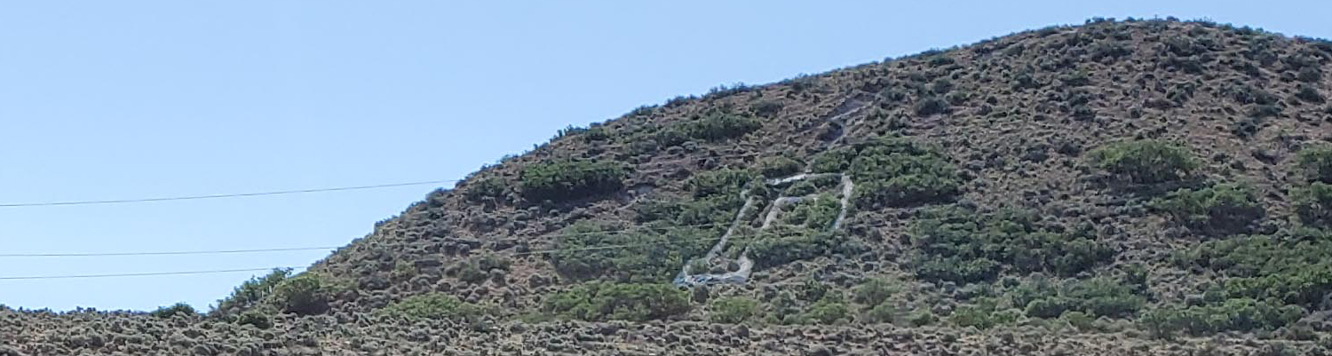
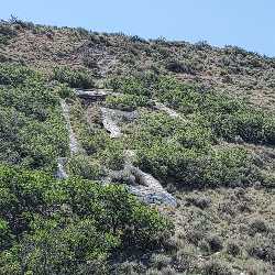
This short hike up to the Payson P takes approximately 20-30 minutes and is great for the whole family. There is little shade, so plan your trip during the cooler seasons or early morning.
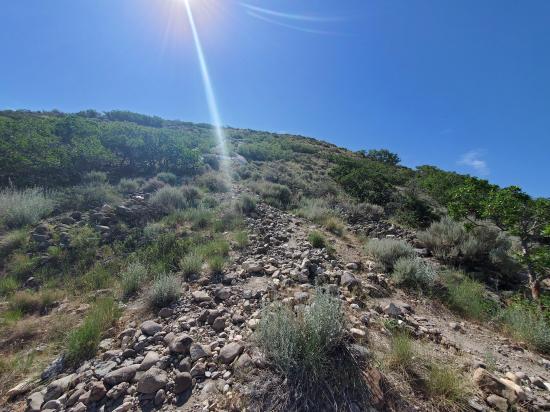
Trail Condition: Class 2 (Trail may have tree roots or rocks jutting out. Navigation skills may consist of following rock cairns and choosing turns at junctions. Elevation gains may be more substantial.)
Time: 20-30 minutes
Length: 0.6 miles round trip
Elevation Gain: 150 ft
Fees: None
Recommended Ages:
 | 0-3 |
 | 4-11 |
 | 12-19 |
 | 20-49 |
 | 50-69 |
 | 70+ |
Recommended Months to Visit:
| Jan |
| Feb |
| Mar |
| Apr |
| May |
| Jun |
| Jul |
| Aug |
| Sep |
| Oct |
| Nov |
| Dec |
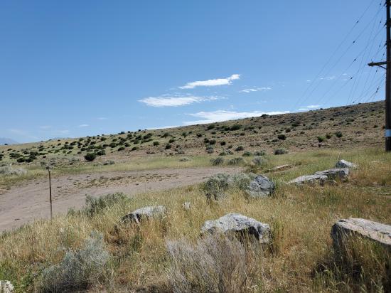
Navigate to 40.026912, -111.720459.
Park in the dirt circle at the end of the spur road.
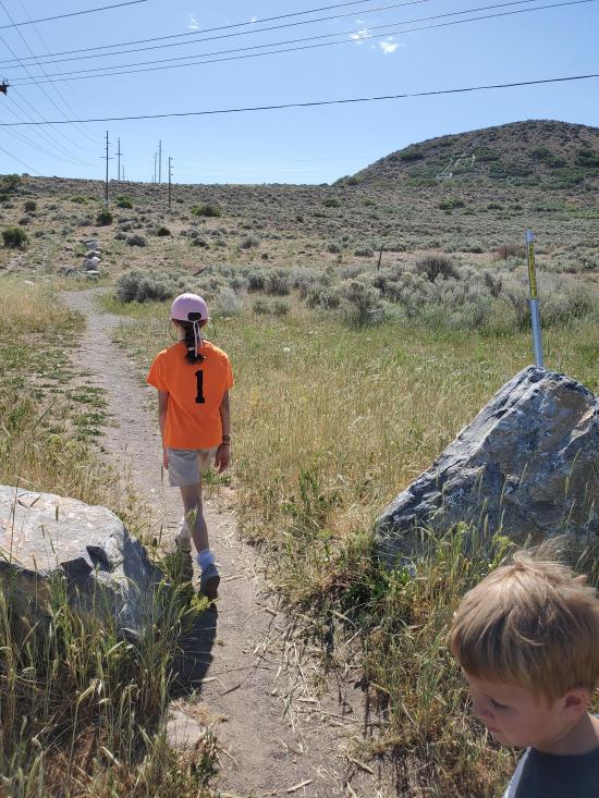
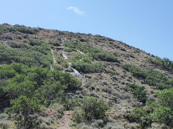
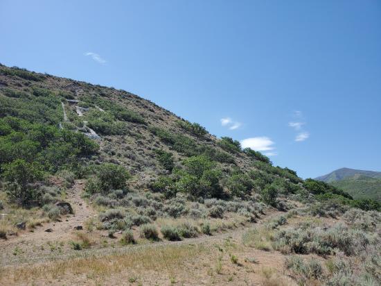
From the trailhead, hike due east along the powerlines for 1000 feet. At the junction, turn south and hike another 500 feet to the base of the P.
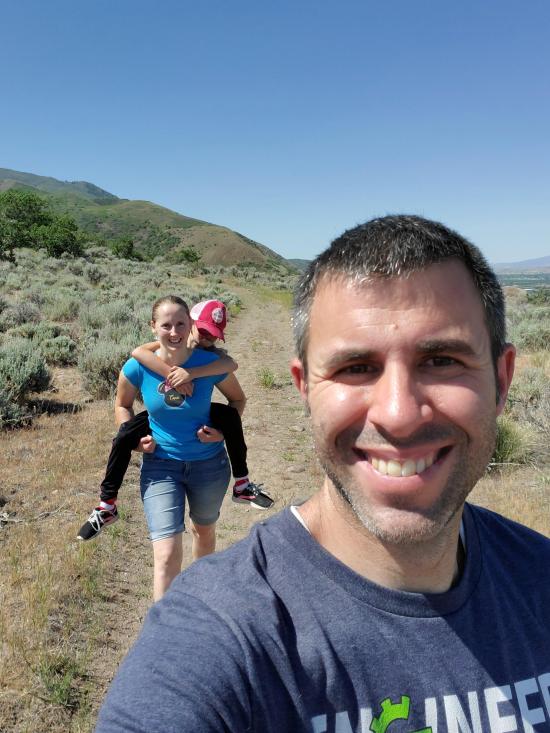
By Jeremy Dye
Jeremy Dye, Tara Dye, Savannah Dye, Madilyn Dye, Cooper Dye,
Start: 10:25
End: 10:55
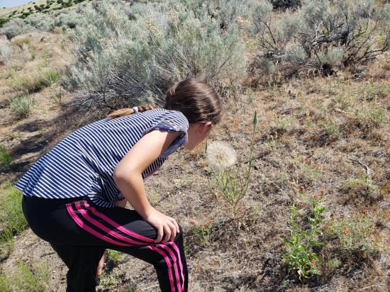
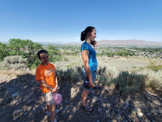
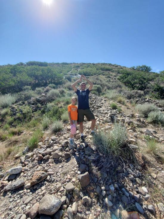
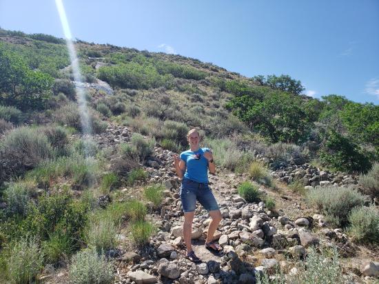
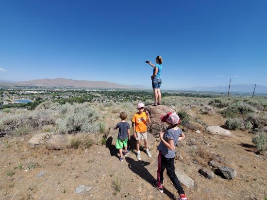
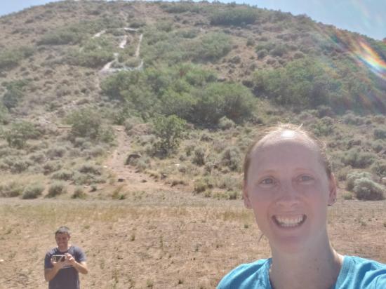
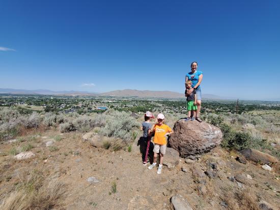
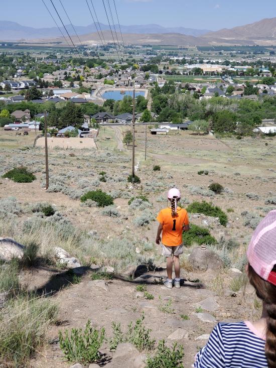
We hiked to the Payson P as part of the scavenger hunt for Payson City's rebranding event. Even though we went in the morning, it was still quite warm. Madi and Cooper complained for almost the whole hike. We didn't have great beta for the best trail, so we rook the long way up and the short way down.
 Peteetneet Museum and Cultural Arts Center
 Hiking Trails
 No Drinking Water
 Mountains
 Marked Trails
 No Restrooms
 Road Access is Paved
 Access Road is 2WD Accessible
 Wildflowers and Vegitation
 Wildlife and Birding


