 Hiking | Devils Kitchen Trail


Hype:
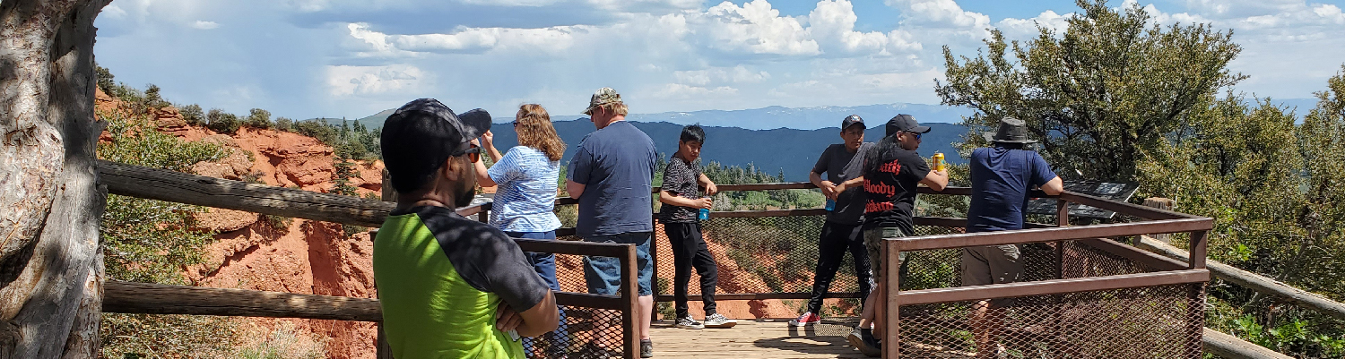
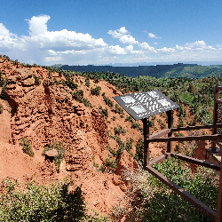
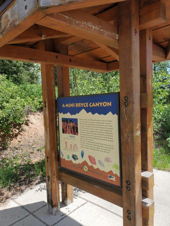
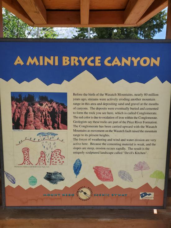
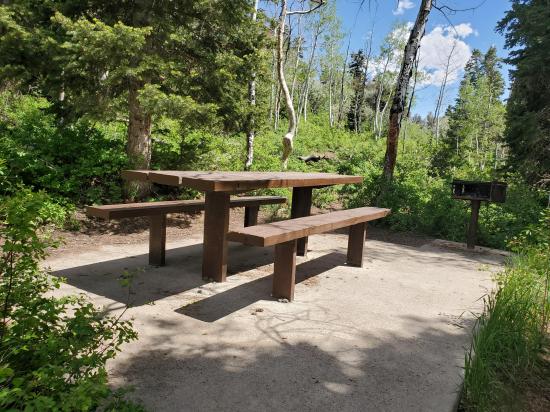
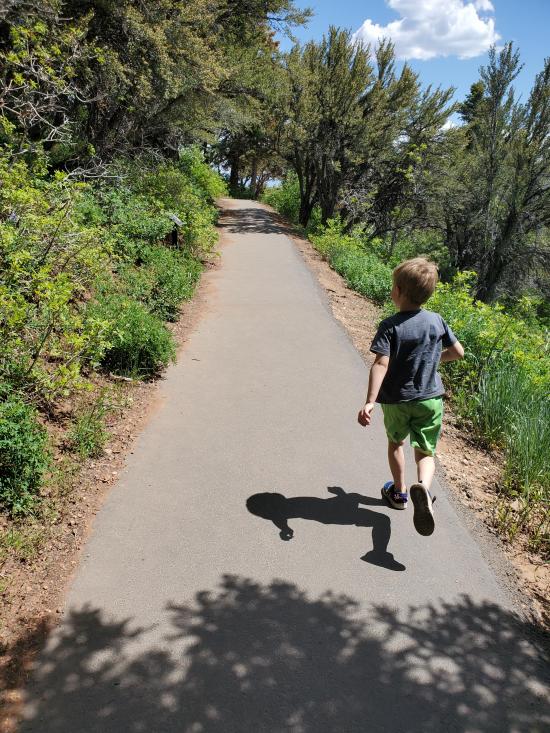
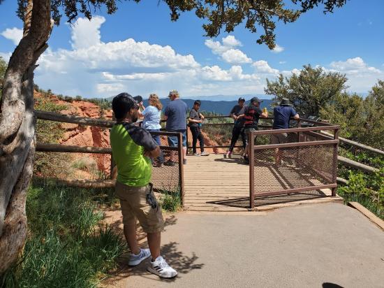
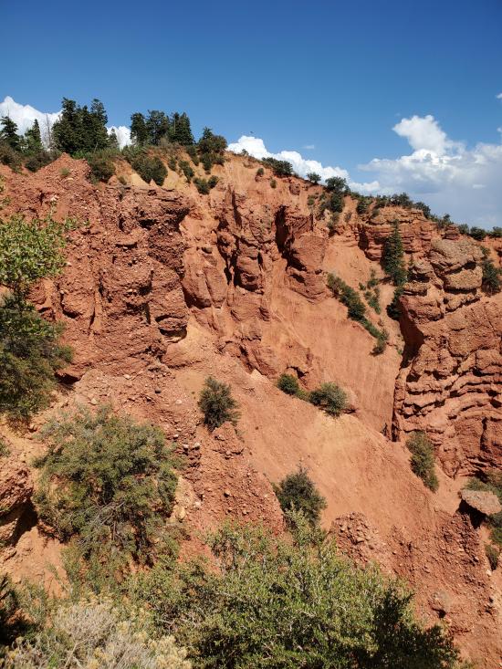
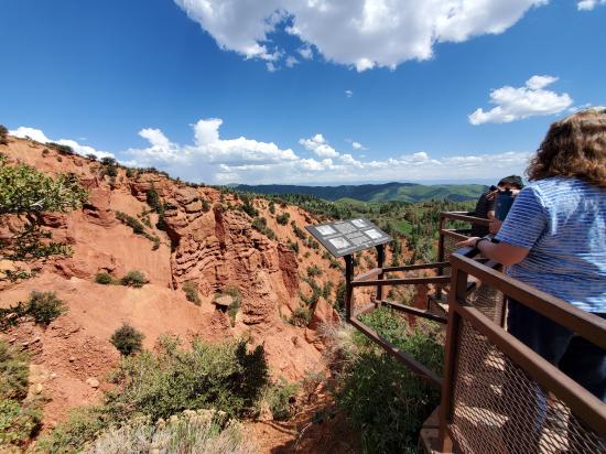
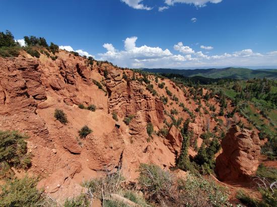
A short hike along a paved, level trail leads to a small platform overlooking a rock formation that has been described as a mini Bryce Canyon. There is a small picnic area at the trailhead.
Trail Condition: Class 0 (Trail is paved. No elevation gain.)
Time: 15-20 minutes
Length: 0.25 miles round trip
Elevation Gain: Negligible
Fees: None
Recommended Ages:
 | 0-3 |
 | 4-11 |
 | 12-19 |
 | 20-49 |
 | 50-69 |
 | 70+ |
Recommended Months to Visit:
| Jan |
| Feb |
| Mar |
| Apr |
| May |
| Jun |
| Jul |
| Aug |
| Sep |
| Oct |
| Nov |
| Dec |
Links: https://www.fs.usda.gov/recarea/uwcnf/recreation/hiking/recarea/?recid=9860&actid=50
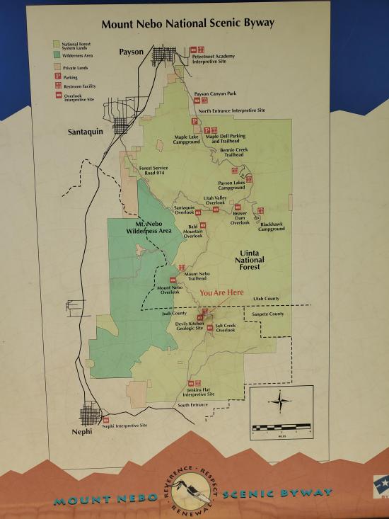
Navigate to 39.804971, -111.688867.
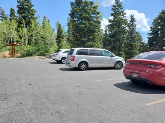
Park in the parking area on the south side of the road.
From the parking area, follow the paved trail southeast for 0.11 miles to the overlook. Return the way you came.
Closest City or Region: Payson Canyon, Utah
Coordinates: 39.802894, -111.687324
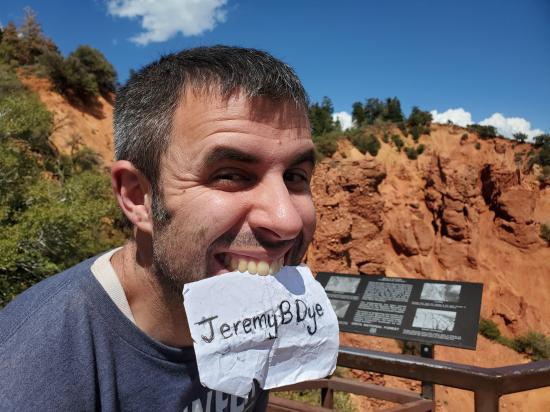
By Jeremy Dye
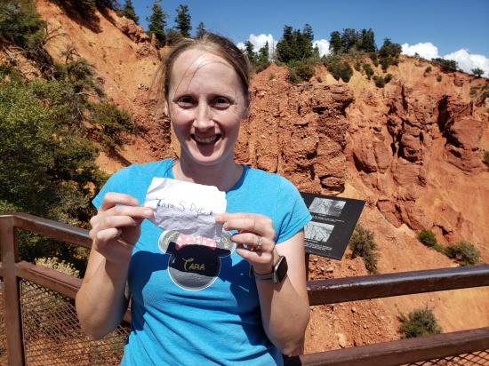
Jeremy Dye, Tara Dye, Savannah Dye, Madilyn Dye, Cooper Dye,
Start: 3:30
End: 3:45
While we were driving the Nebo Loop, we did a quick hike to Devils Kitchen. It had been on my radar for several years, and it wasn't as cool as I thought it would be. I got my drone out to try to get some cool video of the area, but all the batteries were dead. Maybe next time...
 Peteetneet Museum and Cultural Arts Center
East Portal Dispersed Campground
Wardsworth Trail Primitive Camping
Hidden Peak, Mt Baldy, and Sugarloaf Mountain
Mount Timpanogos Trail from Aspen Grove
Timpooneke Trail to Mount Timpanogos
Logan Ranger District Visitor Information Center
 Hiking Trails
 No Drinking Water
 Hoodoos
 Mountains
 Marked Trails
 Picnic Tables
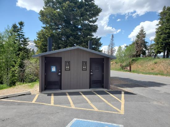
 Restrooms - Vault
 Road Access is Paved
 Access Road is 2WD Accessible
 Viewpoint, Overlooks, Vistas
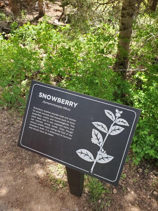
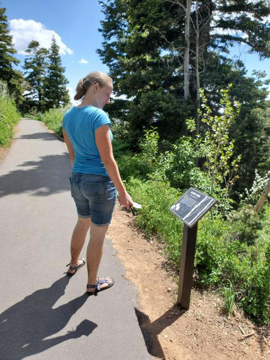
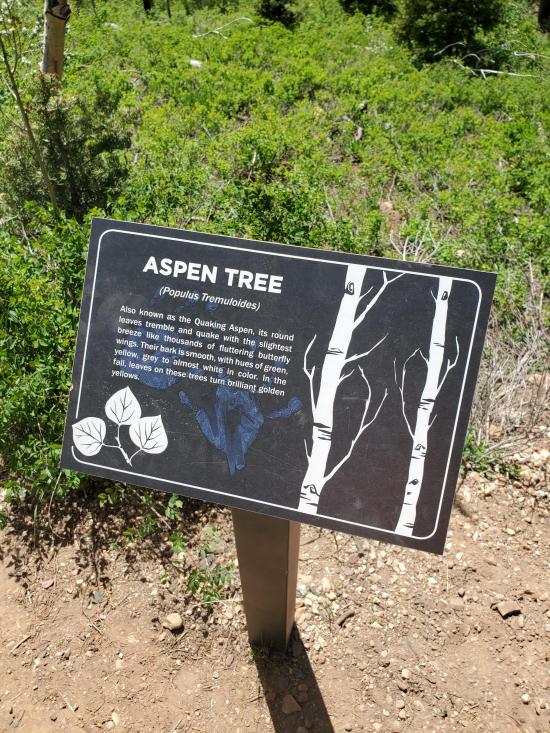
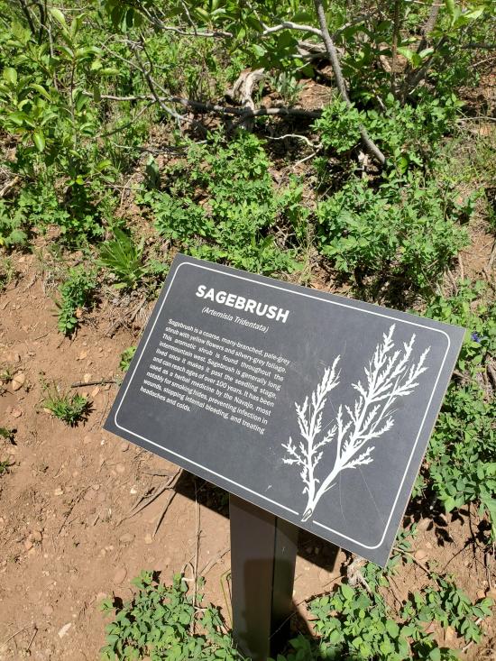
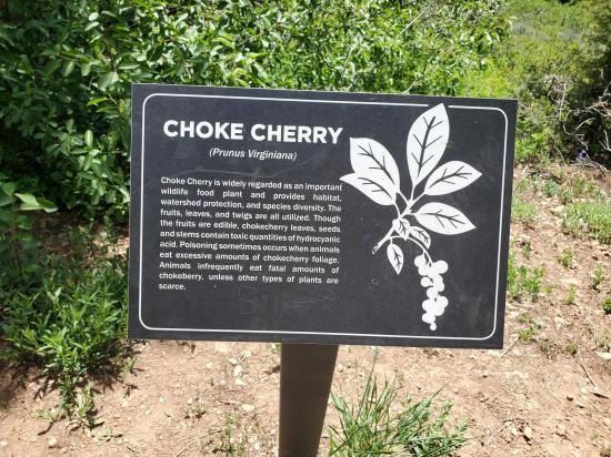
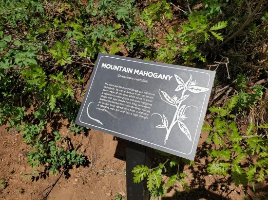
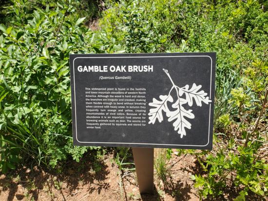
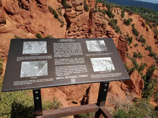
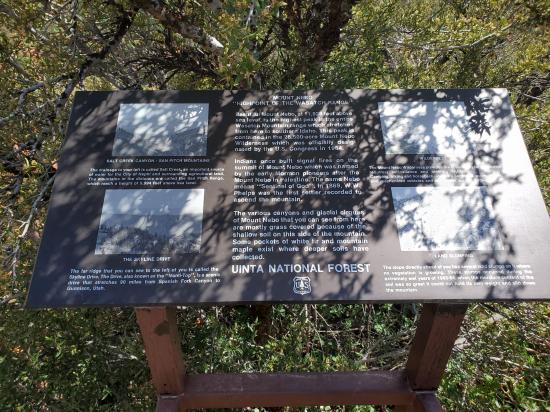
 Interpretive Signs
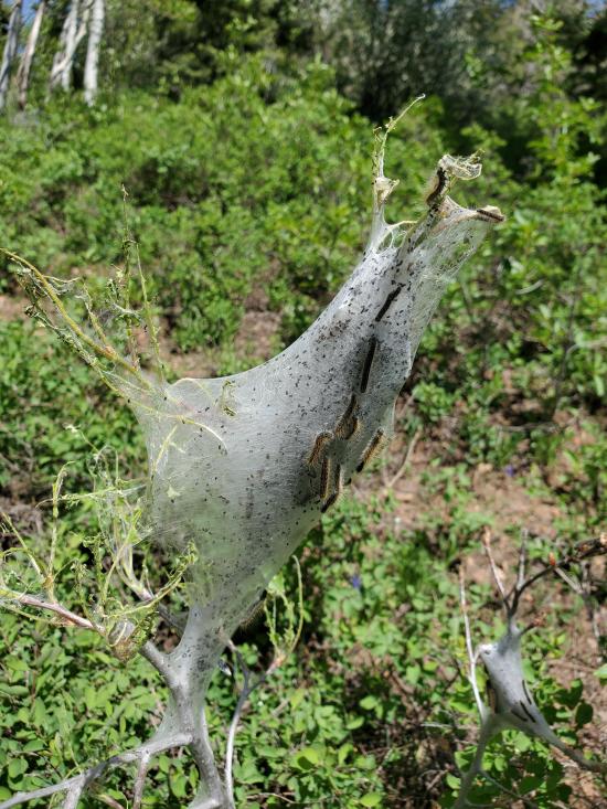
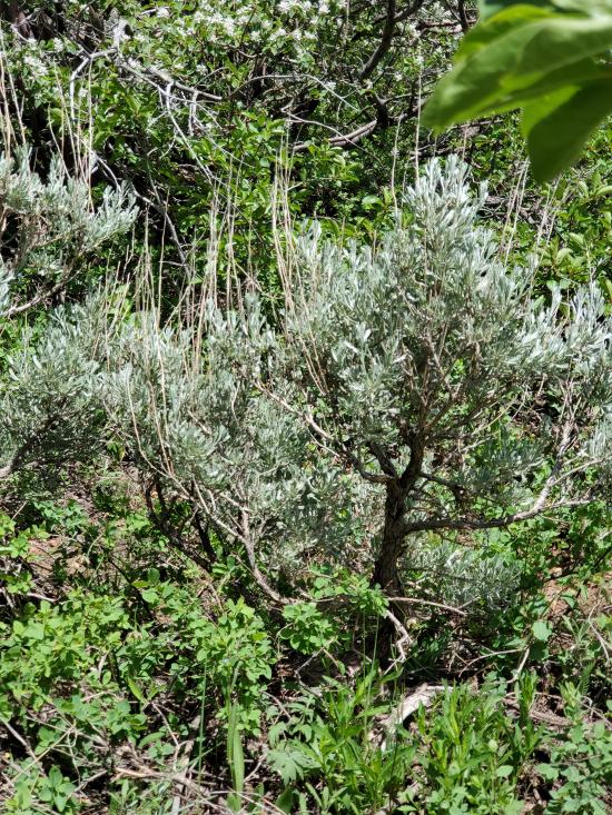
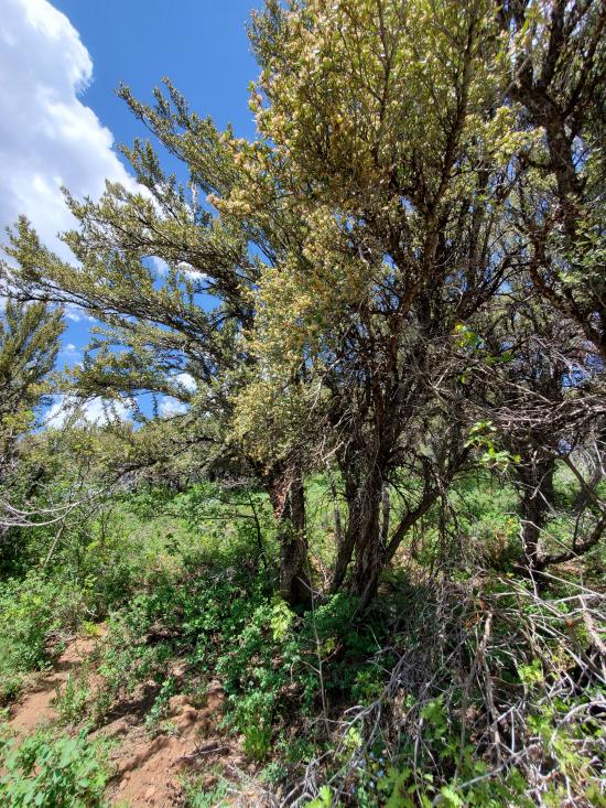
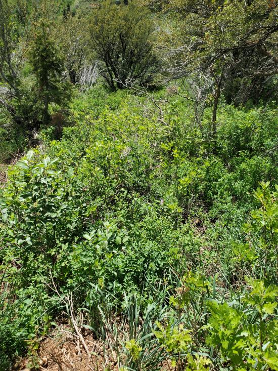
 Wildflowers and Vegitation
 Wildlife and Birding


