 Hiking | Elephant Rock Trail


Hype:
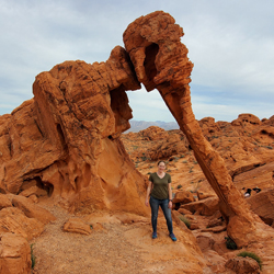
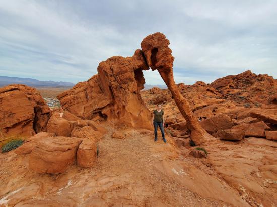
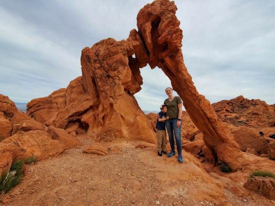
The Elephant Rock trail takes visitors to the base of Elephant Rock, a sandstone arch shaped like an elephant. The hike is short and easy.
Trail Condition: Class 1 (Trail is either paved or gravel. Navigation skills are not needed because there is only one trail or because there are signs. Elevation gains are gradual or there are stairs.)
Time: 15 minutes
Length: 0.25 miles round trip
Elevation Gain: Negligible
Fees: Park Entrance
Recommended Ages:
 | 0-3 |
 | 4-11 |
 | 12-19 |
 | 20-49 |
 | 50-69 |
 | 70+ |
Recommended Months to Visit:
| Jan |
| Feb |
| Mar |
| Apr |
| May |
| Jun |
| Jul |
| Aug |
| Sep |
| Oct |
| Nov |
| Dec |
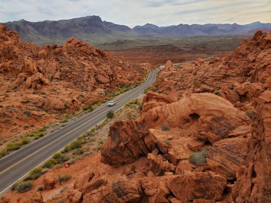
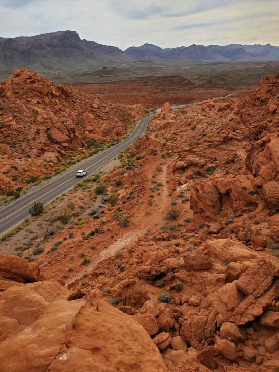
Navigate to 36.428771, -114.458312.
Park in the paved parking area on the north side of the road.
From the parking area, head southwest on the well-marked trail. The trail parallels the road for 0.12 mile to the base of Elephant Rock. Return the way you came.
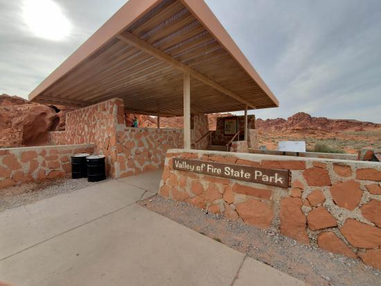
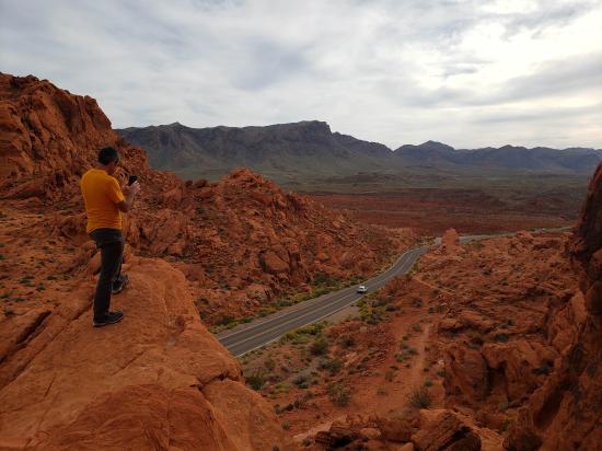
Closest City or Region: Valley of Fire State Park, Nevada
Coordinates: 36.428155, -114.460235
By Jeremy Dye
Jeremy Dye, Tara Dye, Savannah Dye, Madilyn Dye, Cooper Dye,
Start: 5:35
Finish: 5:50
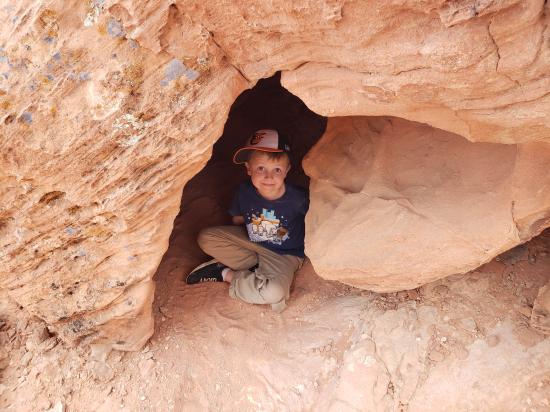
Elephant Rock was our last stop in Valley of Fire before heading home. We took some pictures and recreated a picture from our previous trip. Then we piled in the car and made the long drive home.


 Playground at Springs Preserve
 Nevada State Museum and Springs Preserve
Outdoor Animal Exhibits at Springs Preserve
Sustainability Gallery at Springs Preserve
Botanical Garden at Springs Preserve
WaterWorks at Springs Preserve
Boomtown 1905 at Springs Preserve
Train Ride at Springs Preserve
Origen Museum at Springs Preserve
Butterfly Habitat at Springs Preserve
Farrell Dillon Comedy Magician
 Hiking Trails
 Arches
 No Drinking Water
 Marked Trails
 Pavilions
 Picnic Tables
 Restrooms - Vault
 Road Access is Paved
 Access Road is 2WD Accessible
 Viewpoint, Overlooks, Vistas
 Wildflowers and Vegitation