 Canyoneering | Angel Cove Slot, North Fork


Hype:
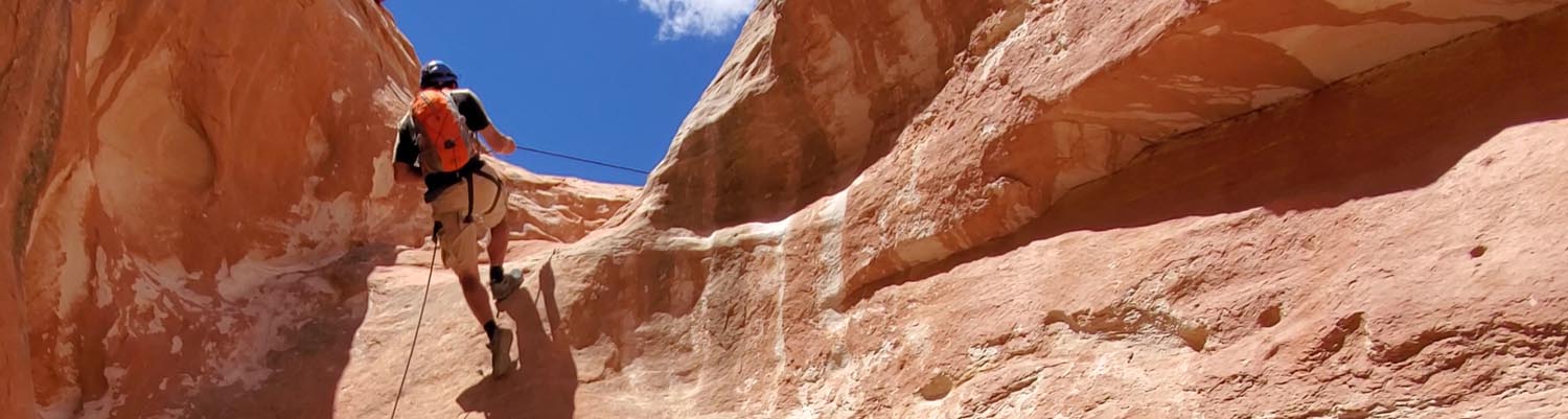
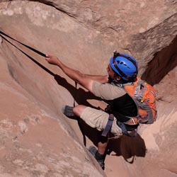
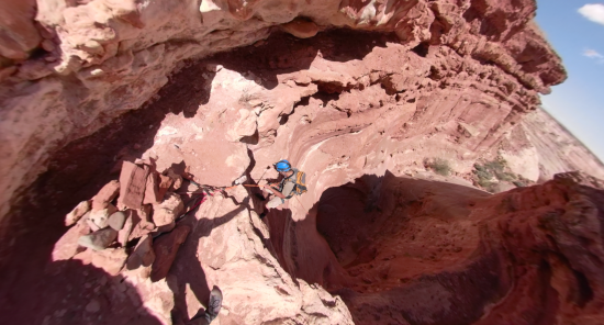
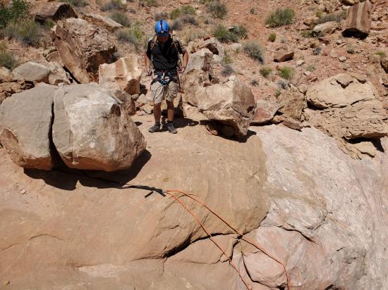
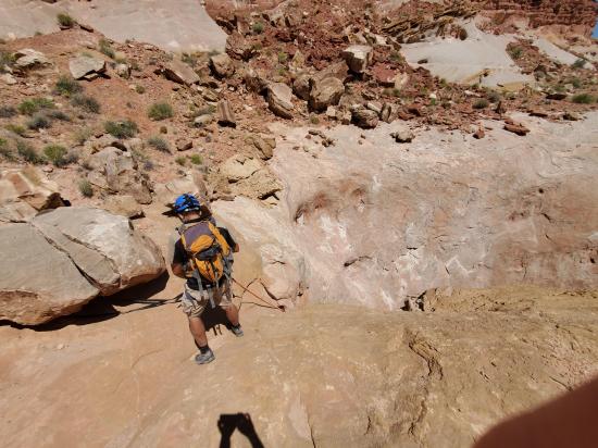
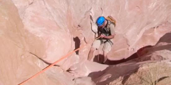
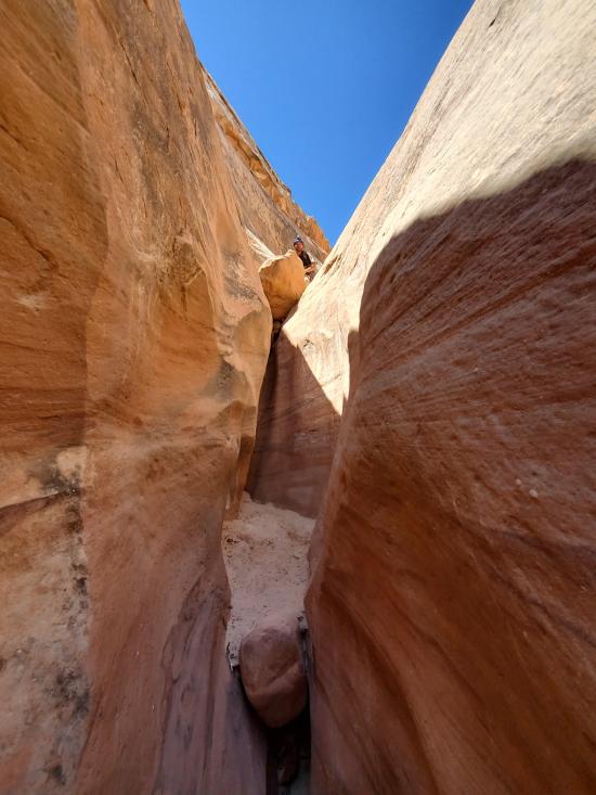
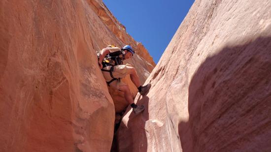
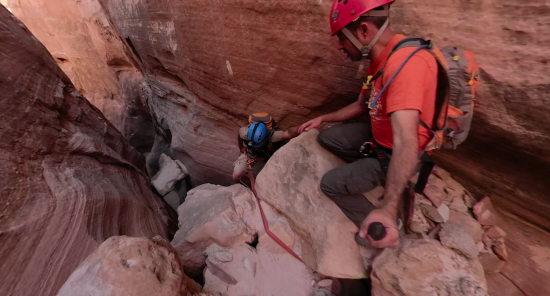
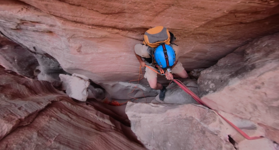
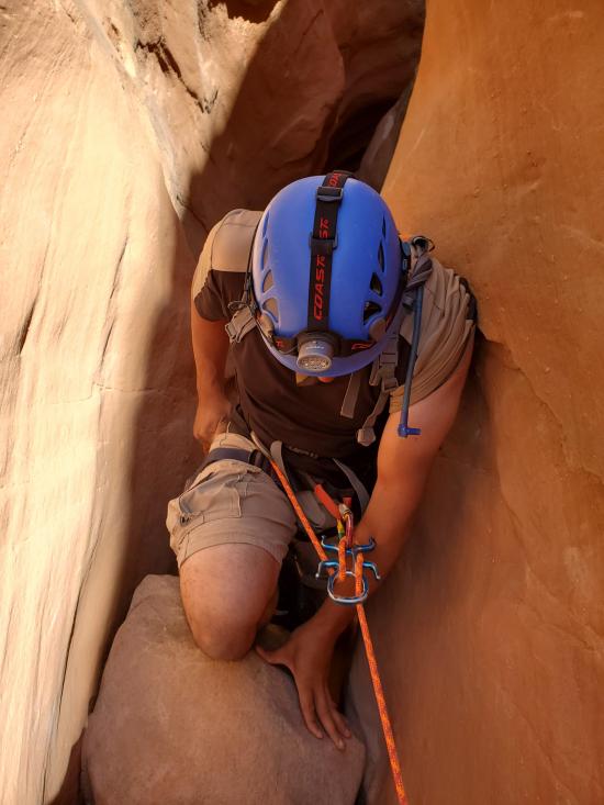
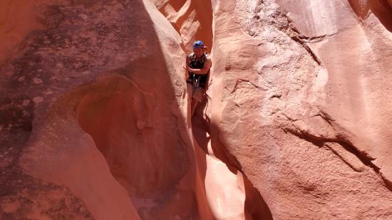
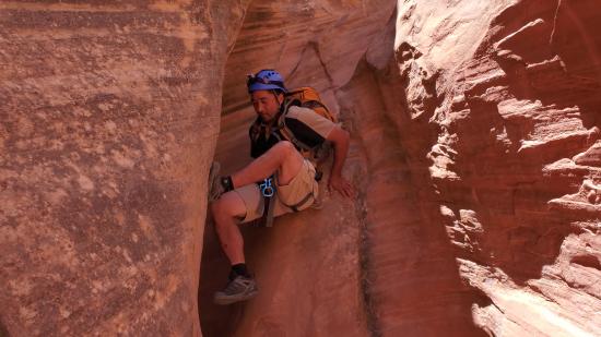
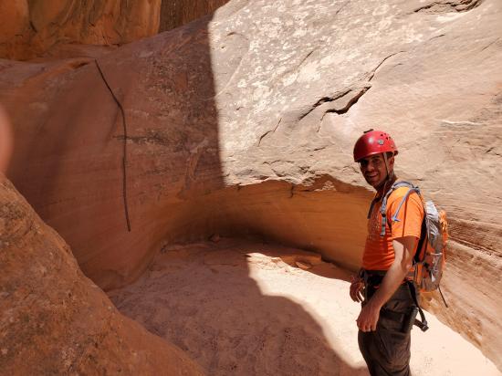
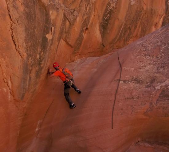
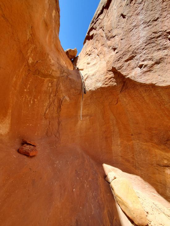
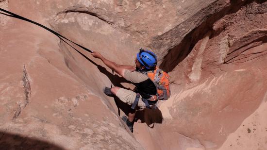
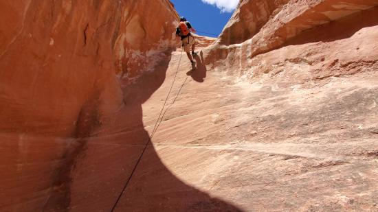
The North Fork of Angel Cove Canyon is nothing spectacular. If you're only going to do one of the forks, I highly recommend doing the South Fork instead. However, the North Fork is quite fun to climb up after descending the South Fork. This makes for a much better return hike to the car. The North Fork is often rigged with fixed ropes at each of the four major drops in the canyon. With the fixed lines, these drops are easy for fit canyoneers with decent arm strength to batman up.
Canyon Rating: 2A to Early Exit / 3A for Full 
Time: 2-3.5 hours
Length: 2.3 miles round trip
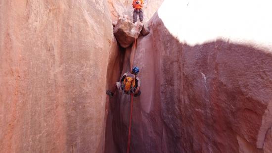
Longest Rappel: None to Early Exit / 80 ft for Full
Gear: Handline in case fixed ropes are missing. Standard rappelling gear if doing the Full Route.
Fees: None
Recommended Ages:
 | 0-3 |
 | 4-11 |
 | 12-19 |
 | 20-49 |
 | 50-69 |
 | 70+ |
Recommended Months to Visit:
| Jan |
| Feb |
| Mar |
| Apr |
| May |
| Jun |
| Jul |
| Aug |
| Sep |
| Oct |
| Nov |
| Dec |
Links: https://www.roadtripryan.com/go/t/utah/north-wash/angel-cove
The following beta is for descending the North Fork. North Fork can also be ascended after going down South Fork.
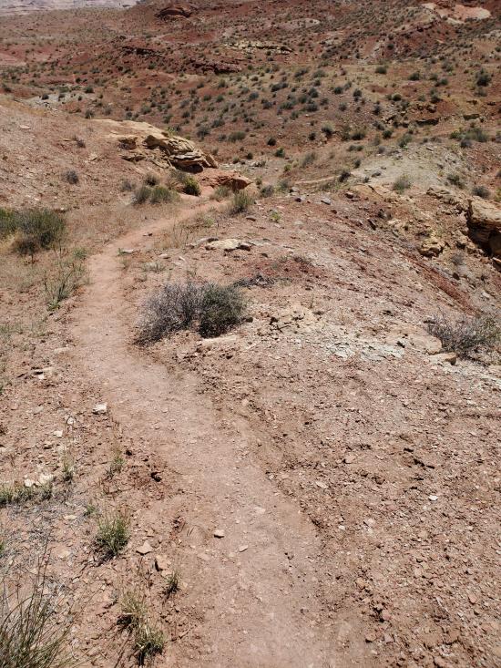
From the parking area, walk north about 500 feet to the top of North Fork.
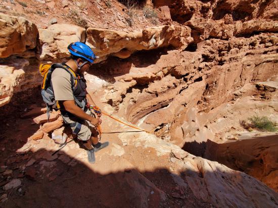
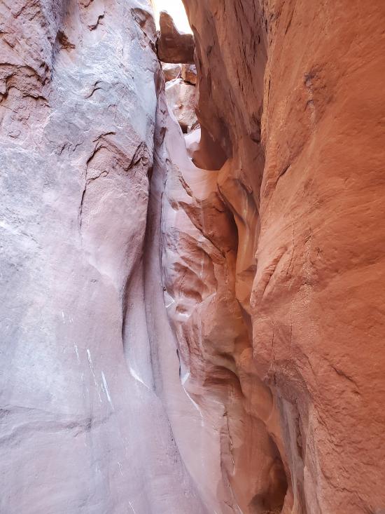
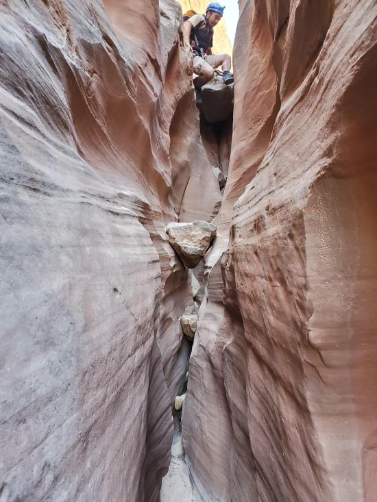
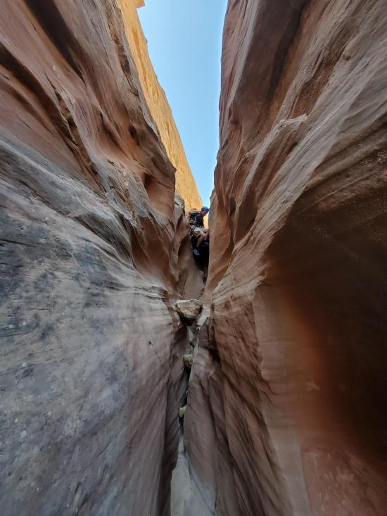
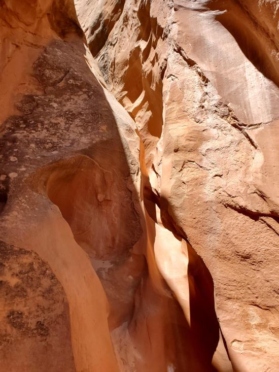
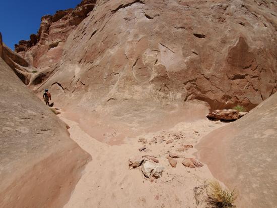
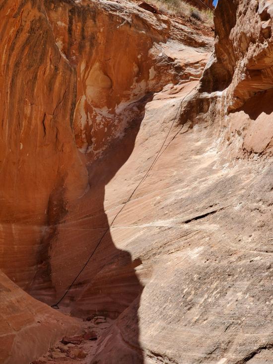
The North Fork is mostly wash walking down to the confluence with 4 quite easy drops along the way. These drops are often rigged with fixed lines because BASE jumpers use this canyon for their exit hike. There are no significant narrows.
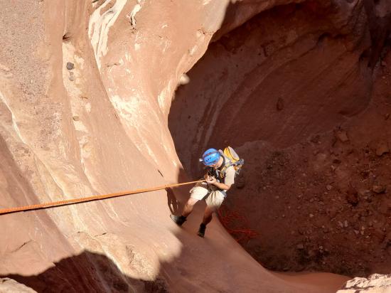
From the confluence, continue down canyon for 0.17 miles to the Early Exit. The Early Exit avoids the last two rappels and gives you a head start on the exit hike. However, if you want to do the full canyon, proceed down canyon through two more rappels before landing on the floodplains of the Dirty Devil River.
From the Early Exit: hike southeast then south along the base of the cliff line until you get to a wash.
From the Bottom: hike east then southeast then south along the base of of the cliff line. There is an obvious social trail. Work your way up to the next rock level then head southwest to a wash.
Both: From the wash, follow the wash uphill to a point where you can climb up the slickrock to the north. There are a few Class 3 and Class 4 moves. Once you get to a mostly flat level, head northeast to a break in the cliffs. You can climb up this ridge with a few Class 4 moves. Follow the path of least resistance. Once you get close to the rim of the plateau, travers around to the north a couple of mintes to a break in the cliffs that allow an easy scramble up to the rim. Once up on the plateau, head west past the top of East Fork then continue northwest to the parking area.
Closest City or Region: North Wash, Utah
Coordinates: 38.318086, -110.546542
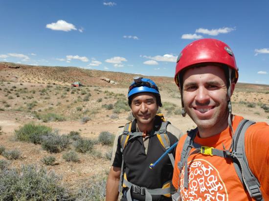
By Jeremy Dye
Start: 11:05 a.m.
End: 1:05 p.m.
After doing Angel Slot, Shawn and I headed over to Angel Cove Slot. We went down the south fork to the confluence. We were debating if we should risk trying to go up North Fork because we weren't sure if there were fixed ropes at all of the drops. We were supposed to meet everyone else back at camp for lunch, so we didn't want to attempt North Fork and then have to retreat. We ended up giving it a go, and everything worked out great.
Butler Canyon Primitive Camping
Maidenwater Canyon, Middle Fork
 Rappels
 Downclimbs
 Fixed Anchors
 Wetsuit Generally Not Required
 No Drinking Water
 Slot Canyon
 Wayfinding
 No Restrooms
 Road Access is Dirt - High Clearance
 Access Road is 2WD Accessible
 Wildflowers and Vegitation