 Canyoneering | Maidenwater Canyon, Middle Fork


Hype:
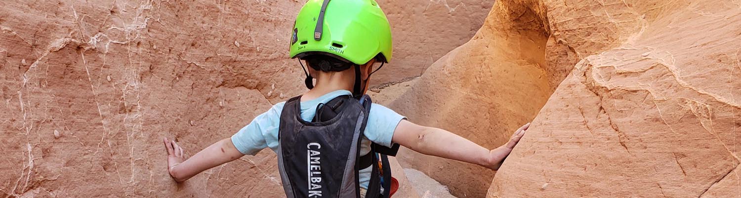
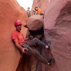
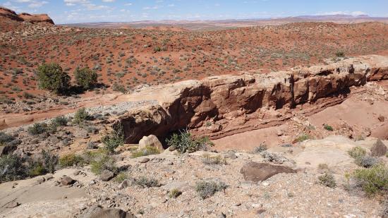
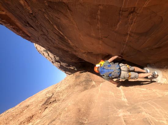
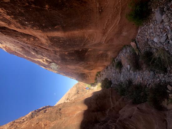
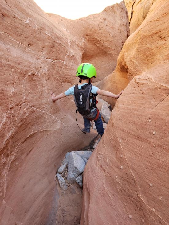
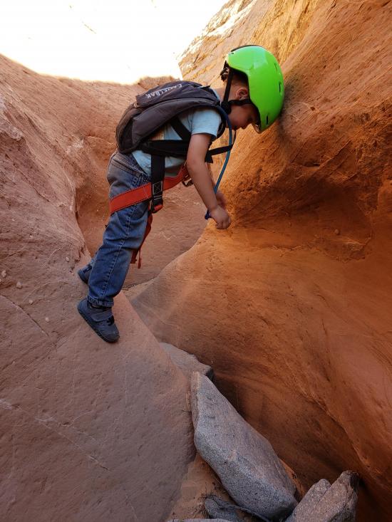
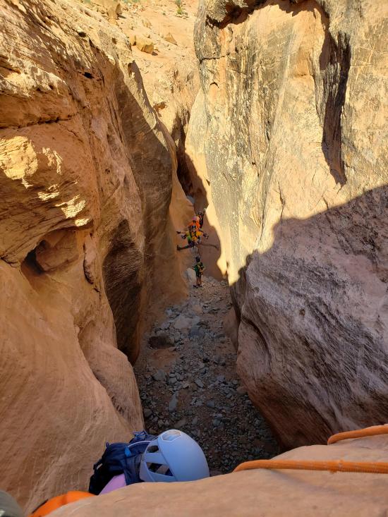
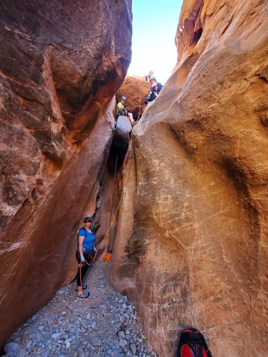
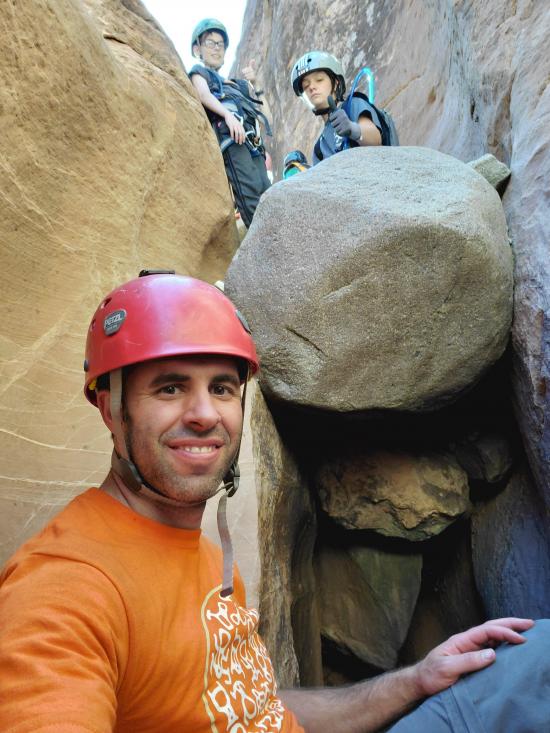
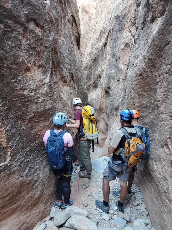
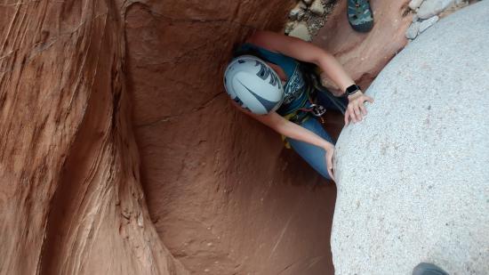
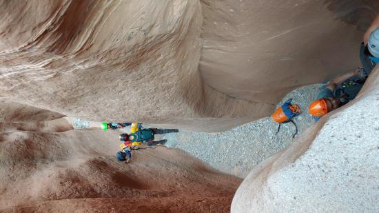
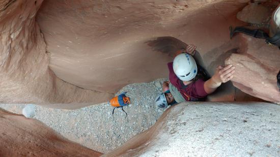
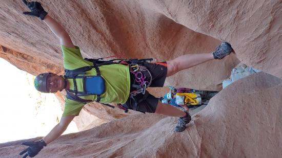
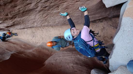
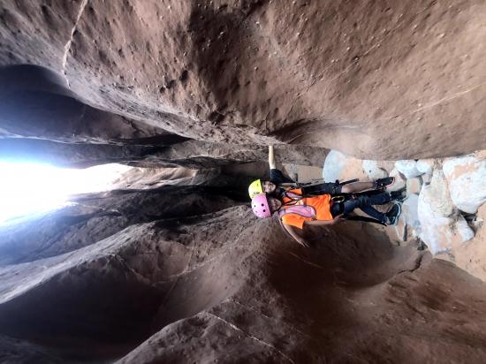
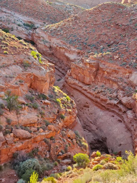
The Middle Fork of Maidenwater Canyon is a great canyon for people who like downclimbs. If you're physical and skip the first rappel, you could probably make it through the whole canyon without rappelling. Almost all of the drops are about 15 feet high over chockstones, and they're almost all downclimbable if you're a strong downclimber. A couple of the drops may require a handline or partner assist though. The canyon is generally shallow but narrow with red sandstone walls but gray cobble floors. The gray rock has been washed downstream from a couple miles to the west. The approach is a bit tedious, but the exit is short albeit steep. The canyon ends through an interesting tunnel under the road.
Canyon Rating: 3A/3B 
Time: 2-4 hours
Length: 2.5 miles round trip
Longest Rappel: Optional 40 foot rappel. All other drops are 20 feet or less.
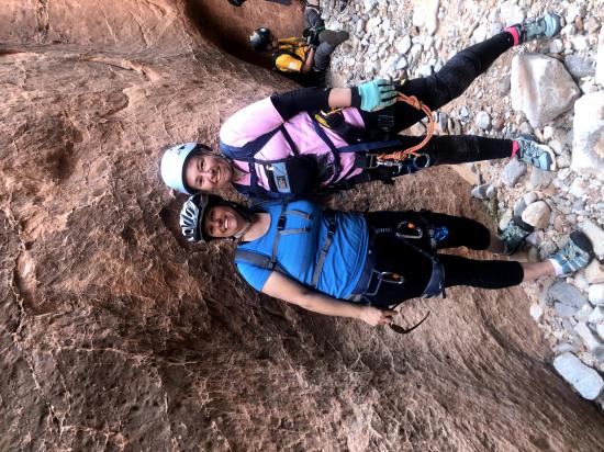
Gear: Standard canyoneering gear.
Fees: None
Recommended Ages:
 | 0-3 |
 | 4-11 |
 | 12-19 |
 | 20-49 |
 | 50-69 |
 | 70+ |
Recommended Months to Visit:
| Jan |
| Feb |
| Mar |
| Apr |
| May |
| Jun |
| Jul |
| Aug |
| Sep |
| Oct |
| Nov |
| Dec |
Links: https://www.roadtripryan.com/go/t/utah/north-wash/middlemaidenwater
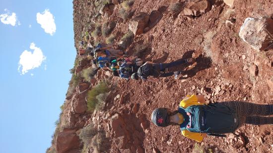
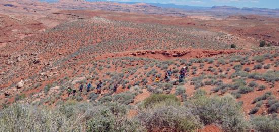
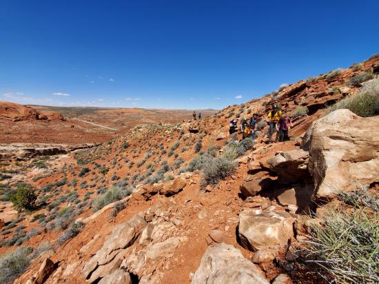
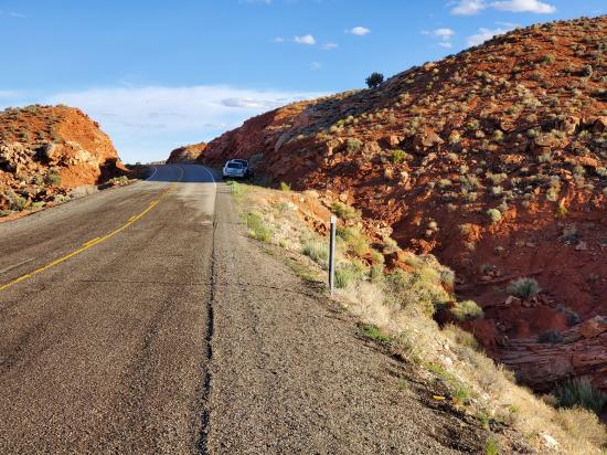
1.5 mile approach with about 700 feet of elevation gain. If you follow the GPS track below, there are no major obstacles and minimal elevation loss.
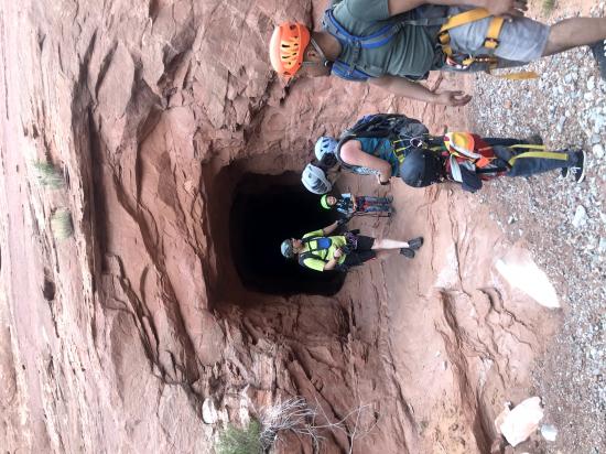
Rappel 40 feet to the canyon floor or (recommended) bypas the entry rappel by hiking around to the east.
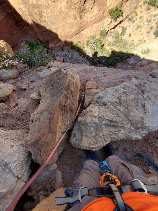
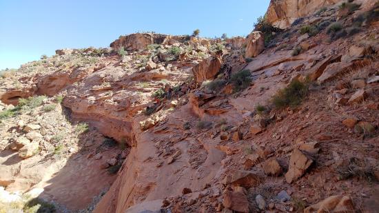
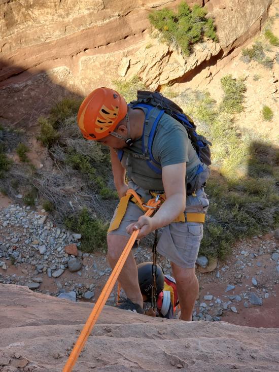
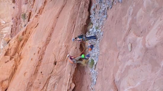
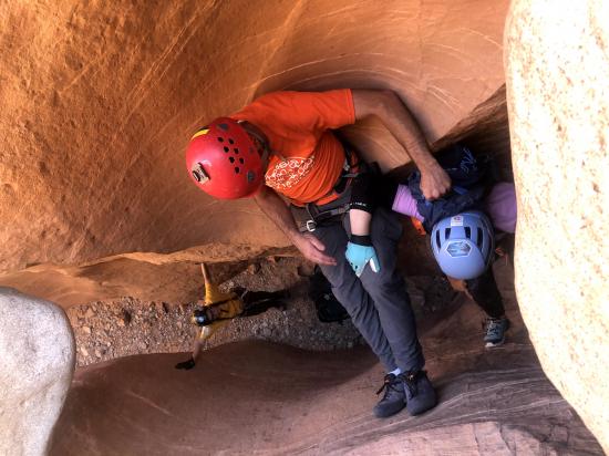
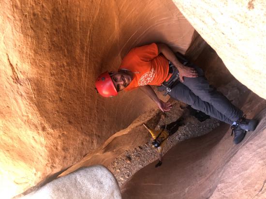
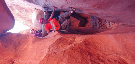
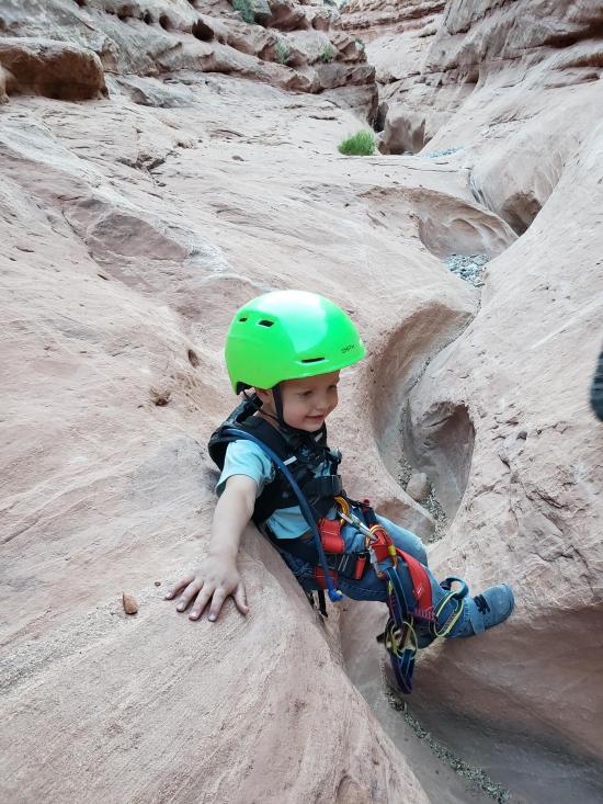
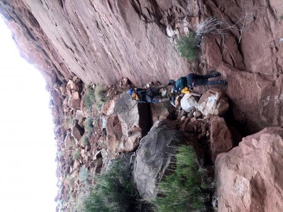
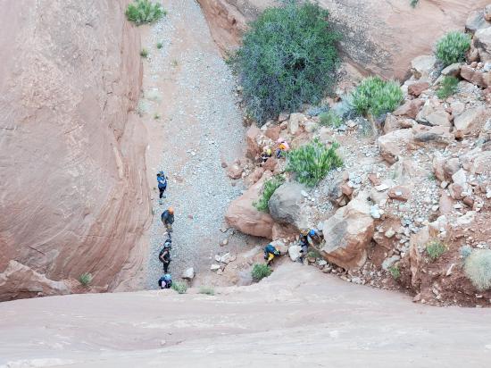
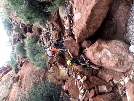
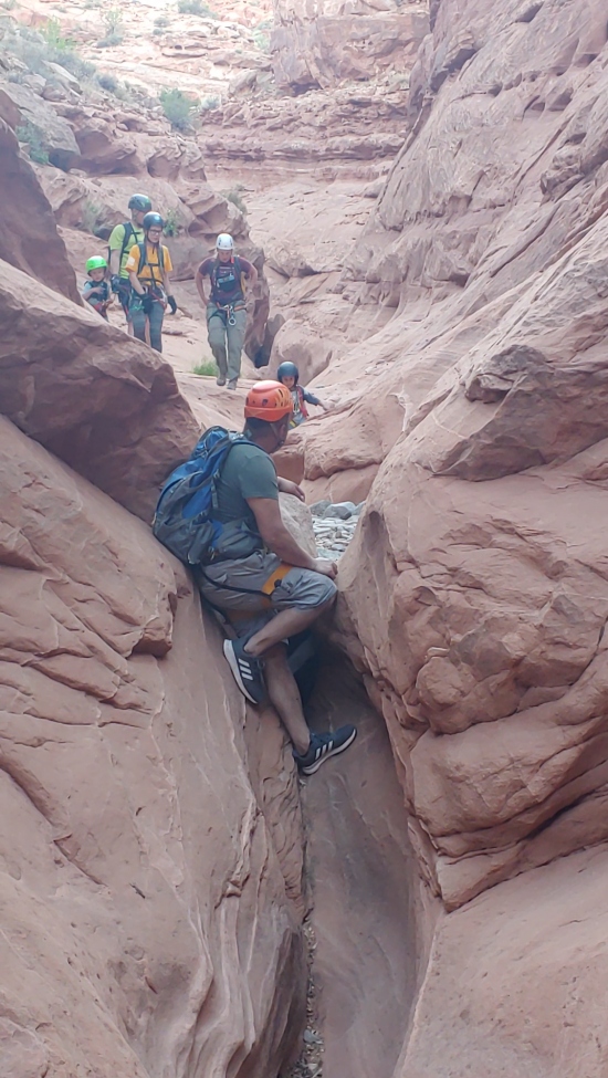
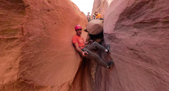
Follow the canyon down for 0.9 miles total. Along the way, you'll reach about a dozen minor drops between 5 and 20 feet tall. The bigger and more difficult drops are already rigged for rappel, but generally the rappels are not mandatory. Most can be downclimbed and the rest can be handlined if you're athletic.
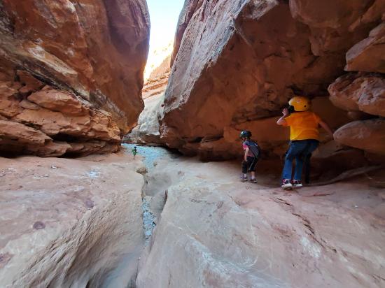
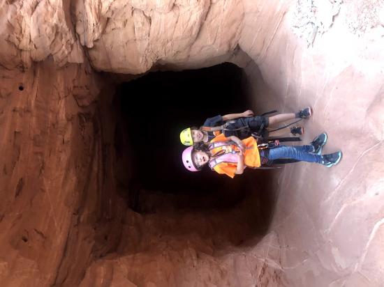
Just before you reach the road, you'll see a tunnel on your left. You could hike directly up to the road from here, but I highly recommend going through the tunnel under the road and then climbing the east side of the road fill slope up to your car. The tunnel is a lot of fun.
Hike the fill slope up to your car. It's 0.1 miles with about 120 feet of elevation gain.
Closest City or Region: North Wash, Utah
Coordinates: 37.900459, -110.585460
By Jeremy Dye
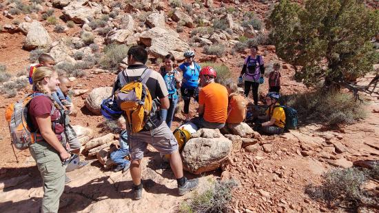
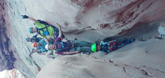
Jeremy Dye, Tara Dye, Savannah Dye, Madilyn Dye, Cooper Dye, Ondylyn Wagner, Jaren Wagner, Killian Wagner, Shawn Wagner, Ryan Baker, Eliza Baker, Baker Kids, Diane Proffitt, Proffitt Kids,
Start: 3:10
Top of Canyon: 4:40
End: 8:00
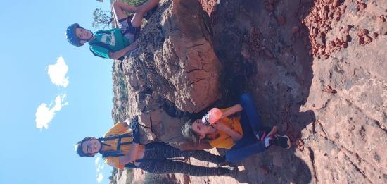
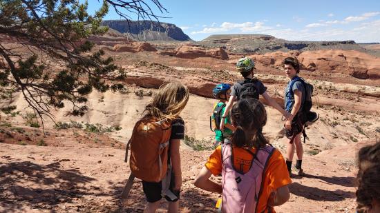
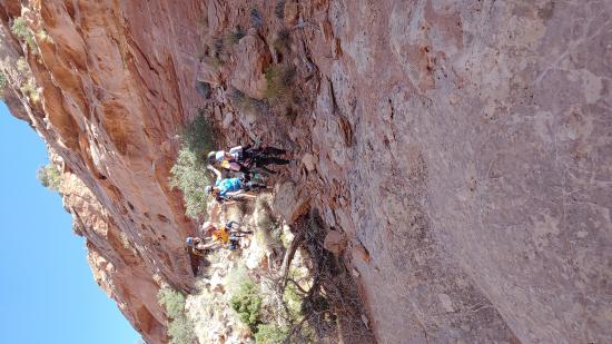
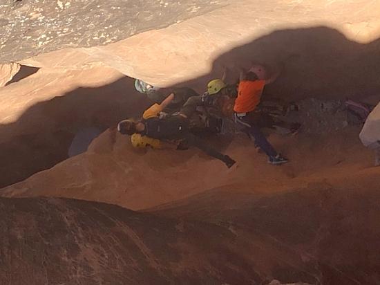
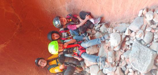
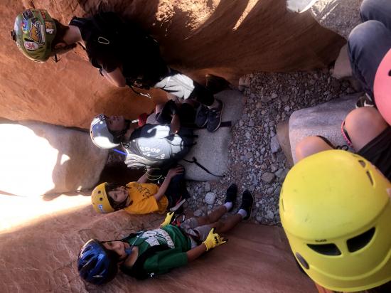
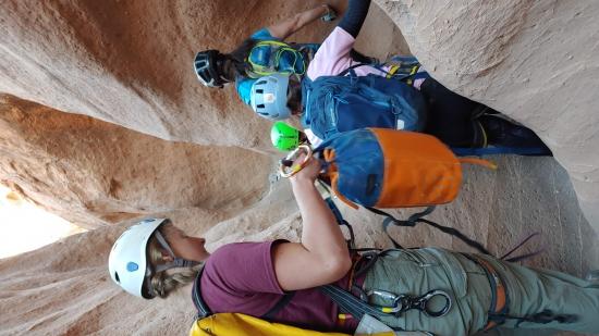
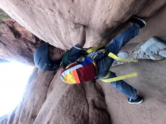
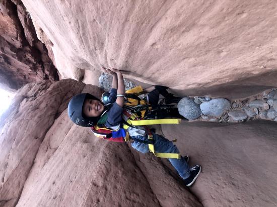
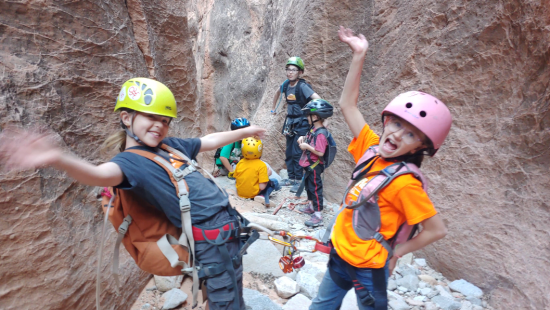
We took a huge group through the Middle Fork of Maidenwater. We had a bunch of kids and just a bunch of people in general. At the entry rappel, we started sending everyone down the rappel but then decided better of it. Jaren, Tara, and I as well as a couple kids rappelled down in while Ryan led the rest of the group around to the east where they could walk down to the canyon floor. That saved a lot of time. We ended up getting down at about the same time.
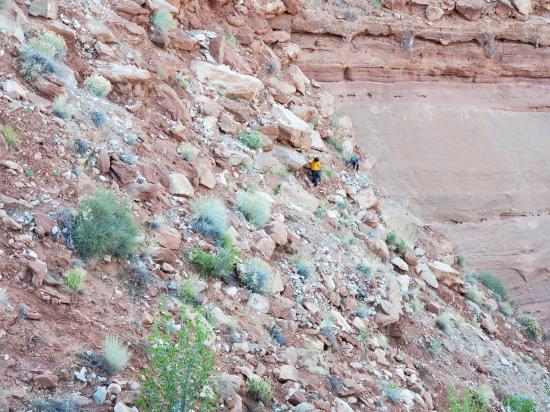
We stayed bunched together as a group for the first couple of drops. I hung back and took some drone video, and we all took it fairly slow. A couple of the stronger stemmers when partway down each drop, and we passed the kids down the human ladder. That worked pretty well, but we still stayed bunched up. Eventually a couple of the older boys went ahead on their own, and then I took 3 of the younger kids with me to catch up to the boys to make sure they didn't get hurt on any of the drops. We eventually caught up to them at the very bottom of the canyon. Luckily they stopped in the tunnel to scare us otherwise they might have continued down canyon and missed the exit. The 5 kids and I got to the car about an hour before the rest of the group. I sat on the cliffs overlooking the canyon and filmed the party as they made their way through the canyon.
The approach was a bit long for most of the younger kids, but once they got in the canyon, everyone had a great time.
Butler Canyon Primitive Camping
Maidenwater Canyon, Middle Fork
 Rappels
 Downclimbs
 Wading
 Fixed Anchors
 Wetsuit Generally Not Required
 Slot Canyon
 Wayfinding
 No Restrooms
 Road Access is Paved
 Access Road is 2WD Accessible
 Headlamps required
 Wildflowers and Vegitation