 Canyoneering | Angel Slot


Hype:
Angel Slot is a short fun canyon. There are a couple of larger rappels, some fun downclimbs, and some scenic narrows.
Canyon Rating: 3A 
Time: 2-4 hours
Length: 2.1 miles round trip
Longest Rappel: 90 ft
Gear: Standard canyoneering gear.
Fees: None
Recommended Ages:
 | 0-3 |
 | 4-11 |
 | 12-19 |
 | 20-49 |
 | 50-69 |
 | 70+ |
Recommended Months to Visit:
| Jan |
| Feb |
| Mar |
| Apr |
| May |
| Jun |
| Jul |
| Aug |
| Sep |
| Oct |
| Nov |
| Dec |
Links: https://www.roadtripryan.com/go/t/utah/north-wash/angel-slot
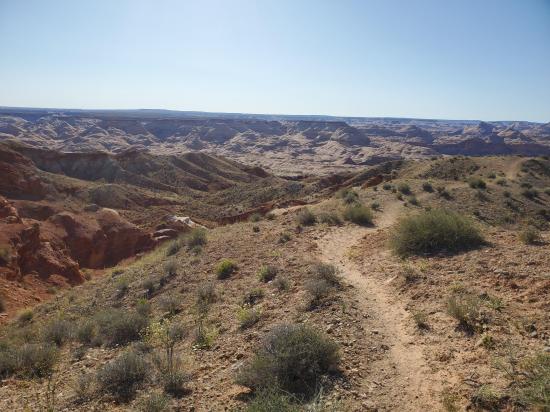
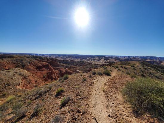
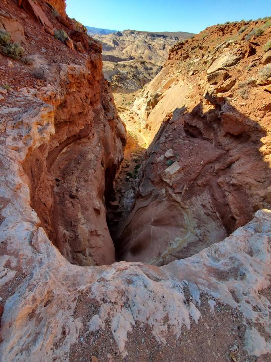
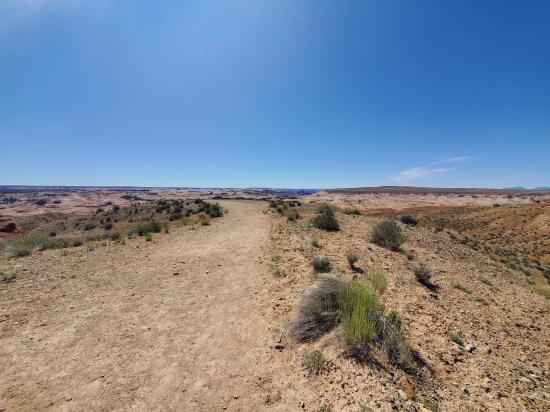
From the trailhead, follow the well-travelled trail southeast for 0.28 miles. Leave the main trail and head southwest then south for 0.14 miles to the top of Angel Slot.
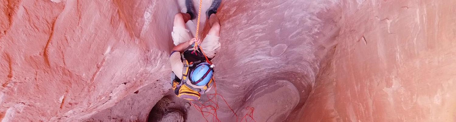
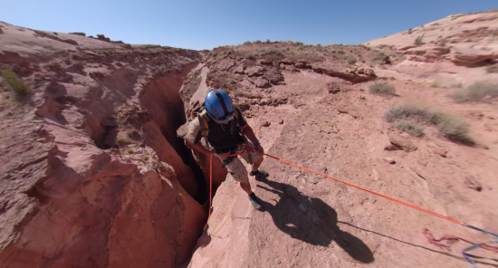
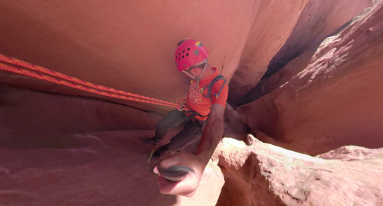
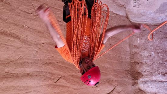
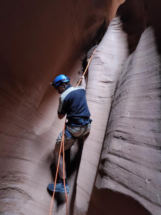
Angel Slot starts off with an 80-foot rappel from a cairn anchor. The top lip is overhung, which makes for an awkward start.
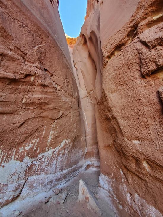
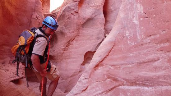
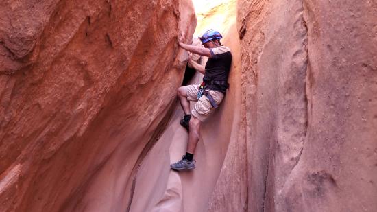
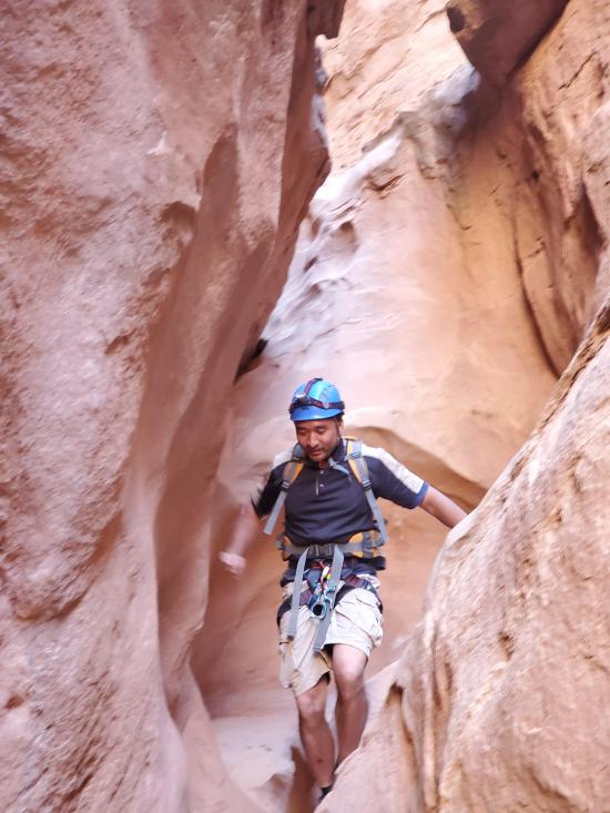
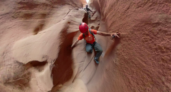
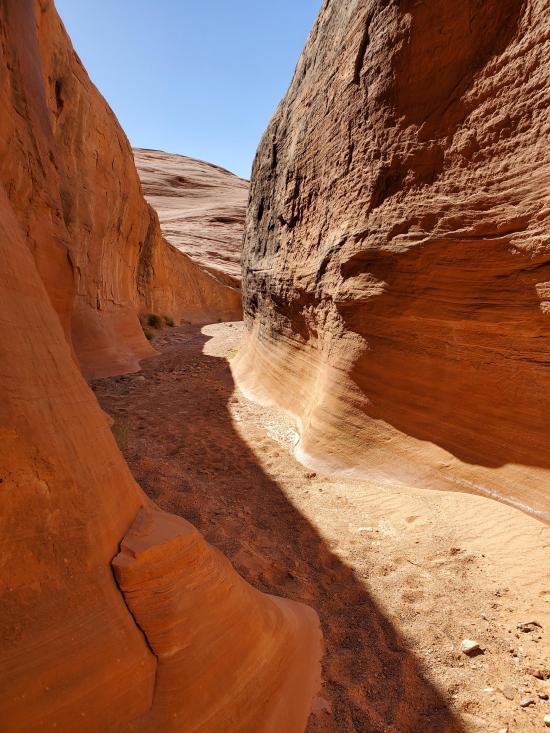
The next 0.15 miles is mostly easy canyon walking with a couple of easy downclimbs.
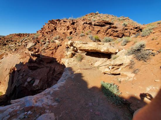
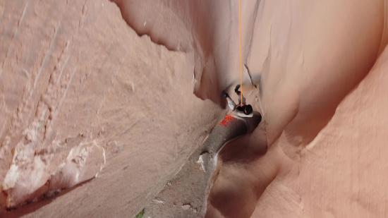
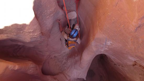
You'll soon come to a 90-foot rappel from a cairn anchor. This rappel is cool because you rappel down a chute to a shelf then continue to the bottom of the drop.
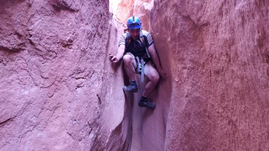
A few minutes down canyon is a short drop, approximately 10 feet tall, that some may rappel but most will downclimb.
In a few more minutes, there is another short drop that some may rappel but most will downclimb.
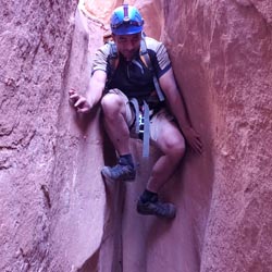
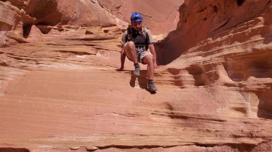
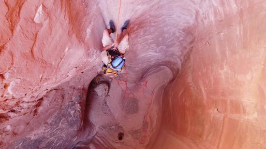
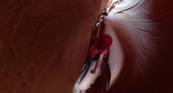
The last two drops are close together. First a 10-foot downclimb down a chute, then a 30 foot drop down a crack. At first the crack seems like an easy downclimb, but the bottom 10 feet flares out wider is is quite difficult. Most will choose to rappel or handline from a chocksote.
The bottom of the canyon is a couple minutes past the last drop.
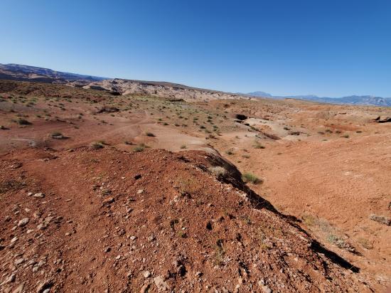
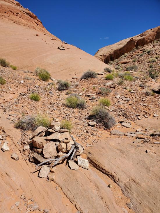
You may be able to escape early up the east side, but the more common route is to follow the wash dow to where it opens up then circle around east then north and climb up the slickrock. Follow the GPS track below closely because there are a few locations where there is only one good spot to climb up a face. When you see cairns, trust them. The exit is 1.3 miles long with 800 feet of elevation gain.
Closest City or Region: North Wash, Utah
Coordinates: 38.302028, -110.545438
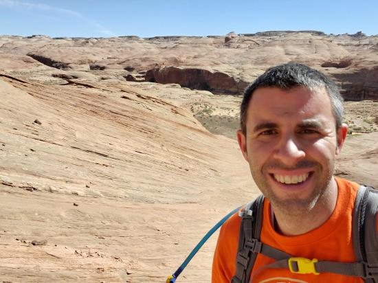
By Jeremy Dye
Start: 8:40 a.m.
End: 10:50 a.m.
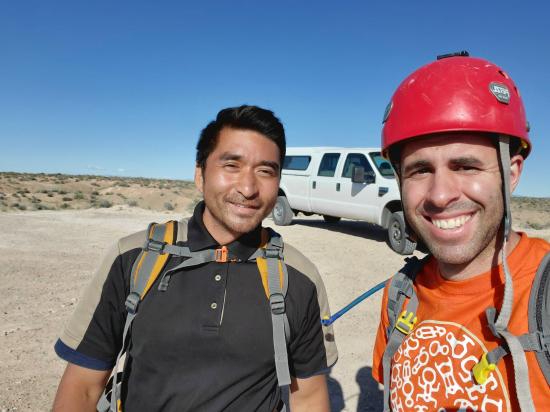
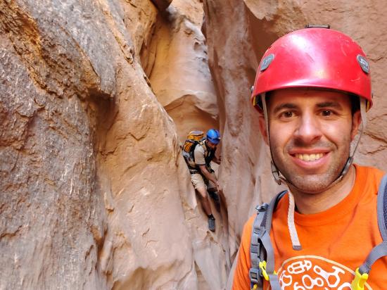
Ondy and Ryan did Woody Canyon, and the kids wanted to play at camp, so Shawn and I headed out to do a couple of canyons before lunch. The first canyon we did was Angel Slot. We hiked down to the top of the canyon and rigged up for the first rappel. Since this was only the second canyon Shawn had ever done, the first rappel was very scary for him. I pulled out the drone and took some fun videos of the first two rappels. We had a lot of fun and descended the canyon quickly. On the last drop, I tried downclimbing it but ended up switching to a handline for the lower section.
Butler Canyon Primitive Camping
Maidenwater Canyon, Middle Fork
 Rappels
 Downclimbs
 Stemming
 Fixed Anchors
 Wetsuit Generally Not Required
 No Drinking Water
 Slot Canyon
 Wayfinding
 No Restrooms
 Road Access is Dirt - High Clearance
 Access Road is 2WD Accessible