 Hiking | Cinder Cone Trail


Hype:
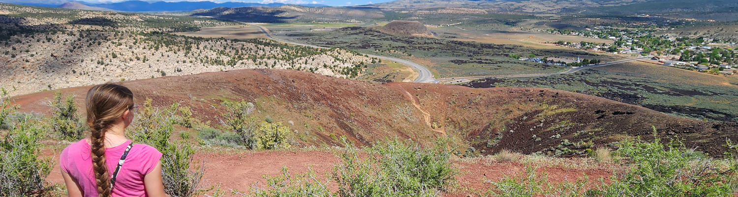
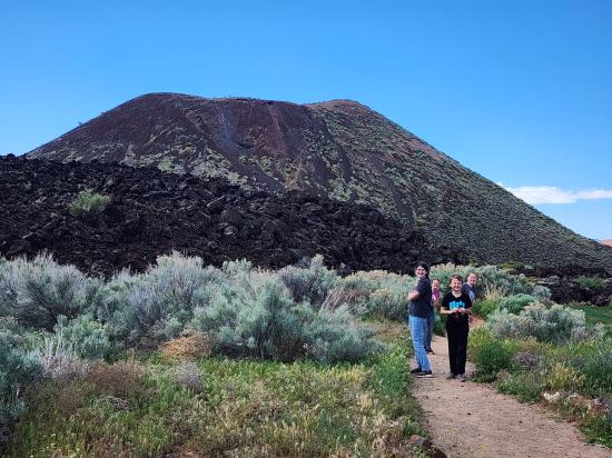
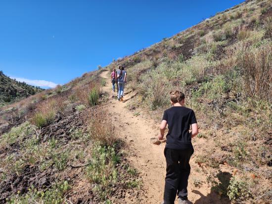
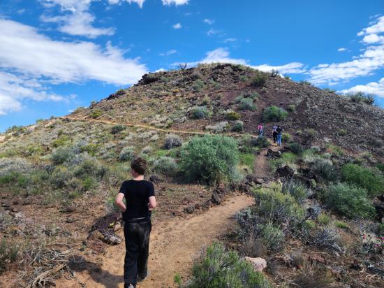
The Cinder Cone Trail is situated in Snow Canyon State Park, near St. George, Utah, and provides access to one of the park’s most prominent volcanic features. The trail leads hikers across hardened lava fields and desert terrain before ascending the cinder cone itself, a remnant of past volcanic activity associated with the Santa Clara volcanic field. The cone is composed primarily of loose volcanic cinders, which can make the ascent physically demanding despite the trail’s relatively short distance.
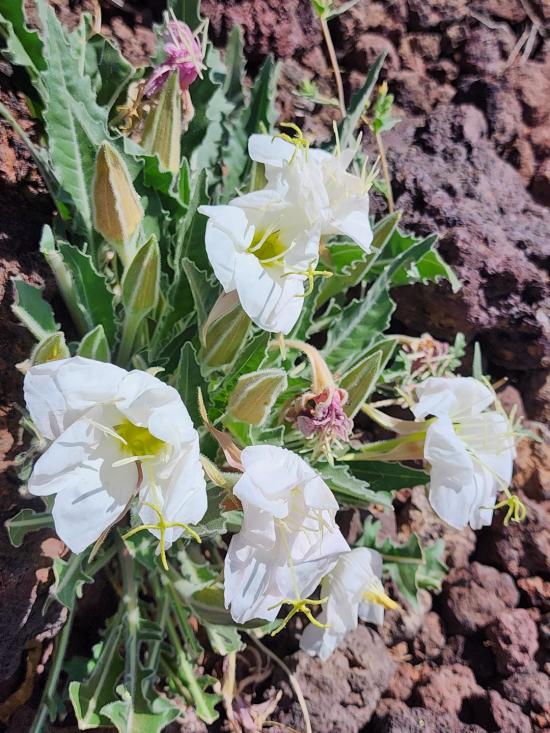
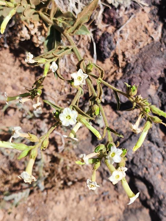
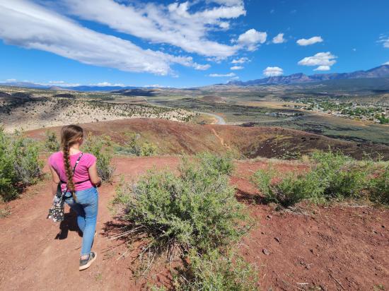
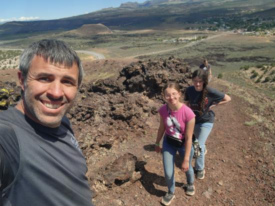
From the summit, visitors can observe panoramic views of Snow Canyon, including contrasting geological formations such as red and white Navajo sandstone, black basalt flows, and sparse Mojave Desert vegetation. The area surrounding the trail contains additional volcanic features, including lava tubes and fissures, which reflect the region’s geologic history and contribute to its scientific and recreational significance.
The trail is accessible year-round, though seasonal conditions affect the experience. Summer temperatures in the region can be extreme, often exceeding safe hiking conditions during midday hours, while winter and early spring provide milder weather more suitable for outdoor activity. The trail is considered moderately difficult due to the loose footing and steep incline of the cinder cone itself.
Trail Condition: Class 2 (Trail may have tree roots or rocks jutting out. Navigation skills may consist of following rock cairns and choosing turns at junctions. Elevation gains may be more substantial.)
Time: 1-2 hours
Length: 2.2 miles round trip
Elevation Gain: 600 ft
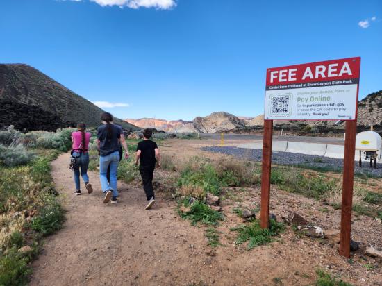
Fees: Admission
Recommended Ages:
 | 0-3 |
 | 4-11 |
 | 12-19 |
 | 20-49 |
 | 50-69 |
 | 70+ |
Recommended Months to Visit:
| Jan |
| Feb |
| Mar |
| Apr |
| May |
| Jun |
| Jul |
| Aug |
| Sep |
| Oct |
| Nov |
| Dec |
Navigate to 37.247440, -113.626845.
Closest City or Region: Snow Canyon State Park, Utah
Coordinates: 37.243158, -113.628368
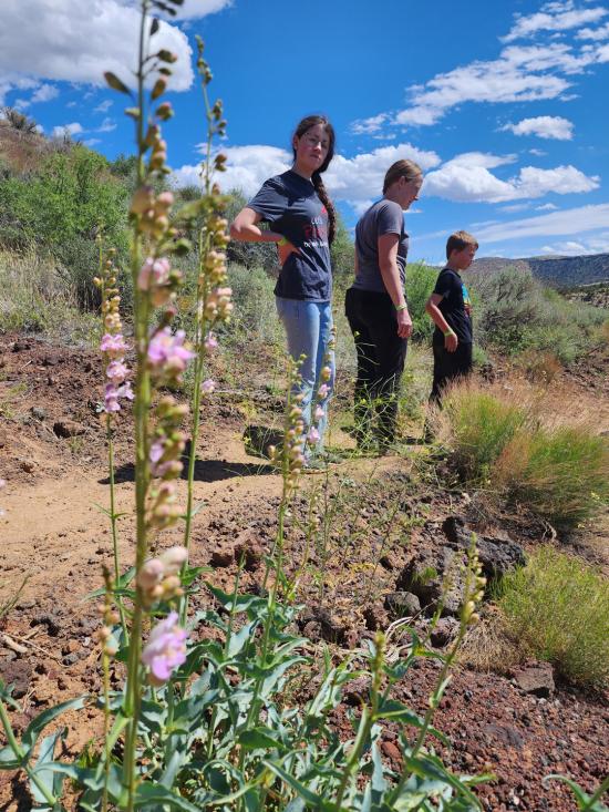
By Jeremy Dye
Jeremy Dye, Tara Dye, Savannah Dye, Madilyn Dye, Cooper Dye,
Start: 11:30
Finish: 12:50
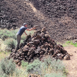
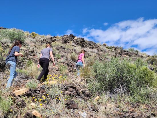
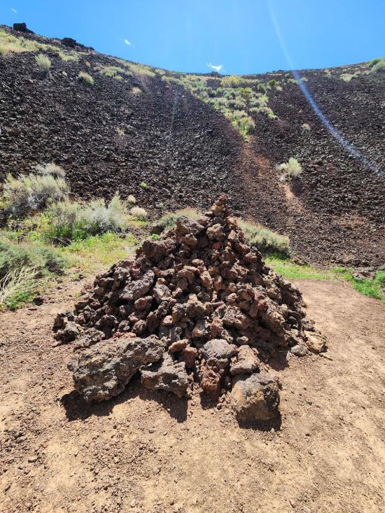
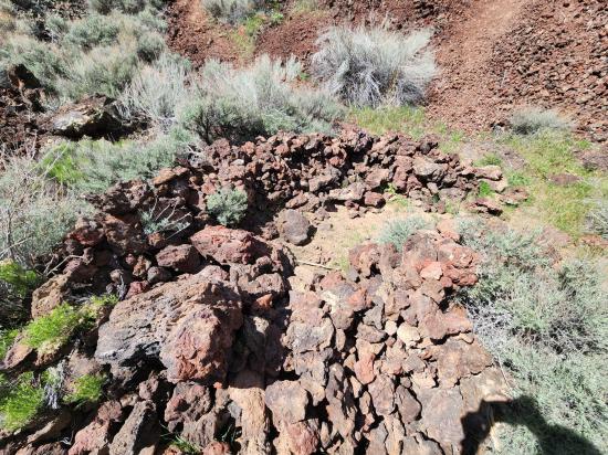
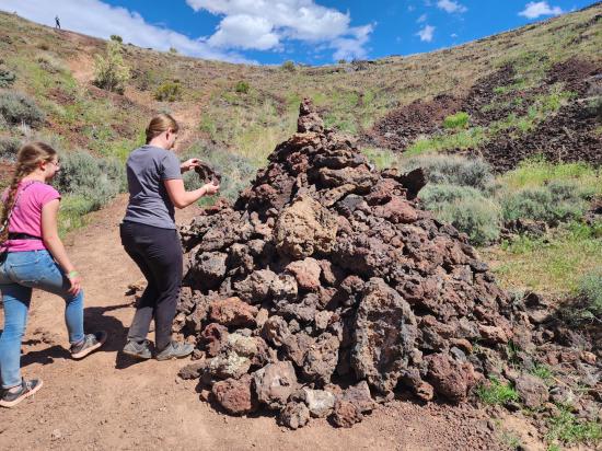
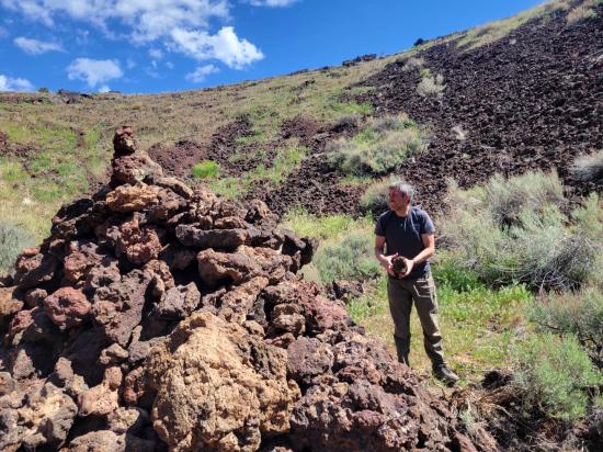
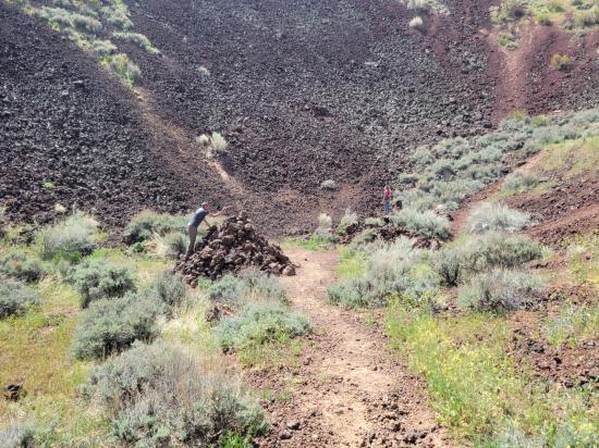
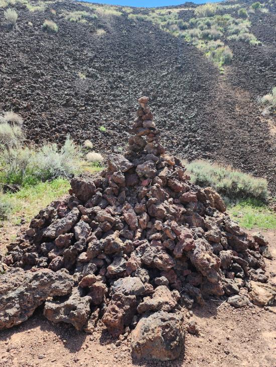
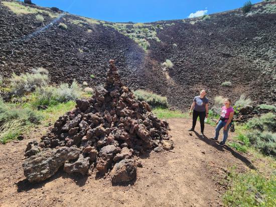
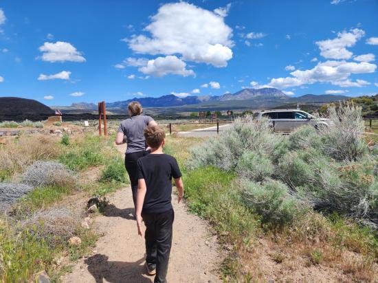
We drove to the north end of the park and hiked the cinder cone trail. We walked around the rim, then down into the center. Someone had built a large lava cairn, and we spent about 15 minutes adding to it, making it about three feet taller. It was surprisingly fun.
 Thunder Junction All Abilities Park
 Rosenbruch World Wildlife Museum
 Volcanoes
 Hiking Trails
 Desert
 Mountains
 Viewpoint, Overlooks, Vistas
 Marked Trails
 No Drinking Water
 No Restrooms
 Road Access is Paved
 Access Road is 2WD Accessible
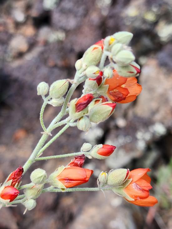
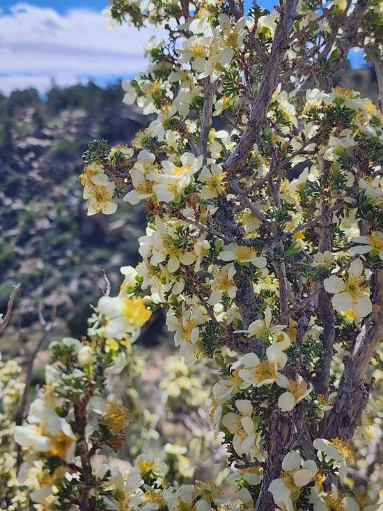
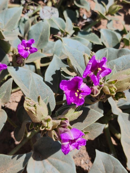
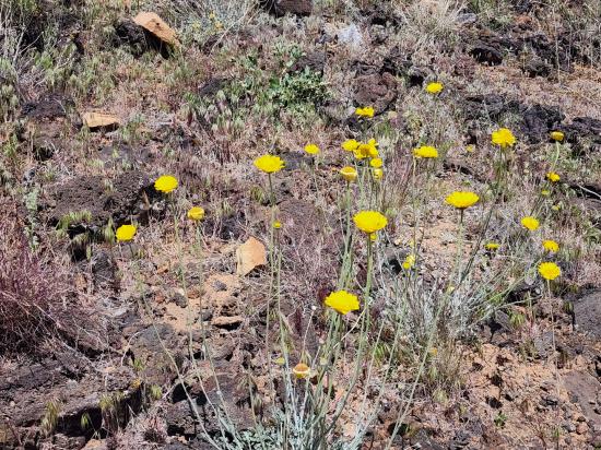
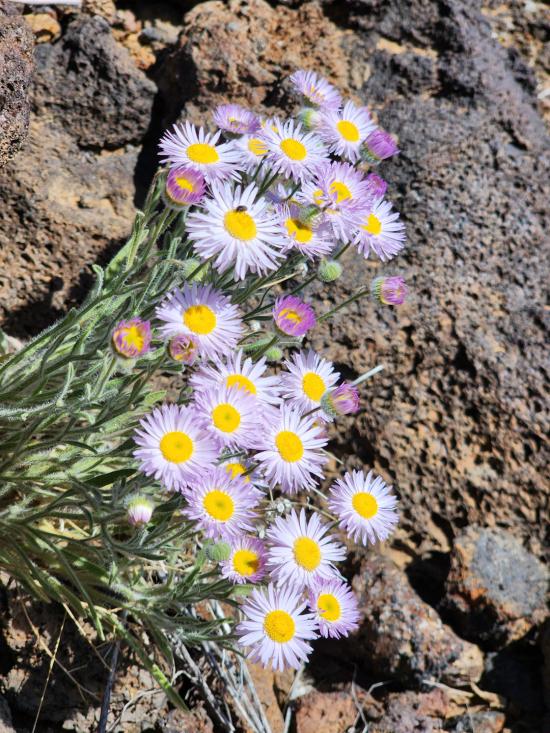
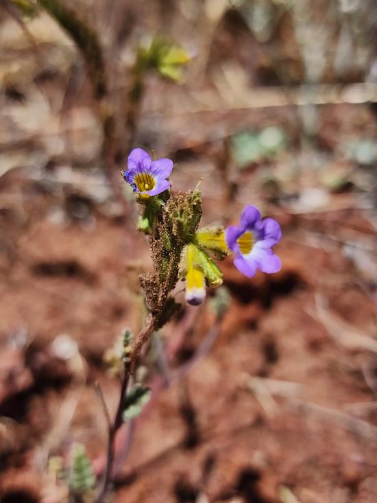
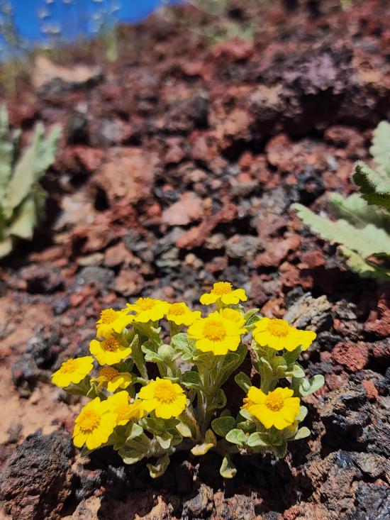
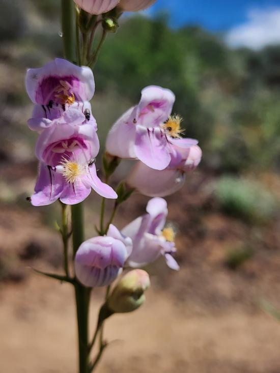
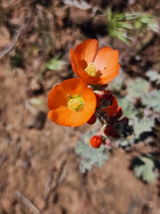
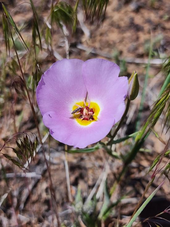
 Wildflowers and Vegitation
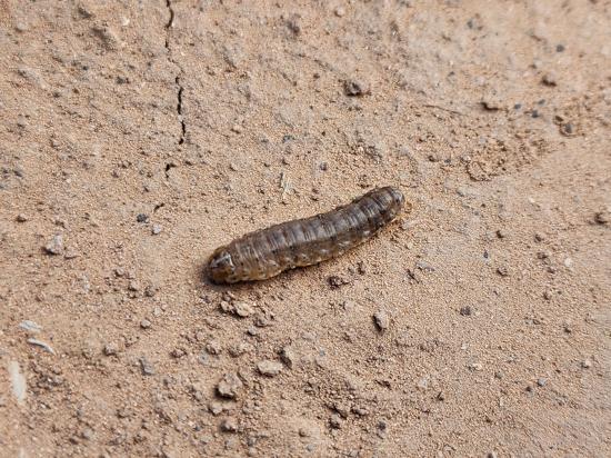
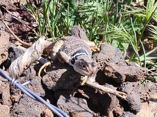
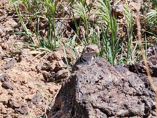
 Wildlife and Birding


