 Hiking | Historic Columbia River Highway State Trail


Hype:
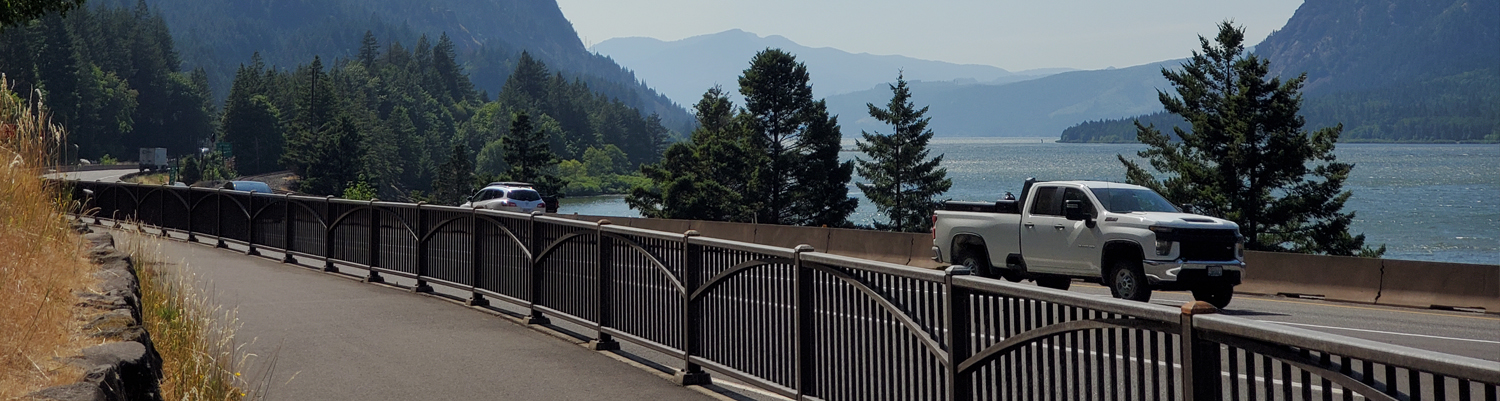
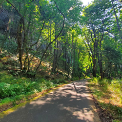
Visitors can enjoy stunning views of the Columbia River Gorge from the Historic Columbia River Highway State Trail. The trail comprises three disconnected paved paths along stretches of historic Highway 30 — which predated I-84 as the only road connecting Portland and The Dalles. Together the segments provide thrilling scenery and spectacular geologic formations.
Trail Condition: Class 1 (Trail is either paved or gravel. Navigation skills are not needed because there is only one trail or because there are signs. Elevation gains are gradual or there are stairs.)
Time: 0-100 hours
Length: 74 miles one way
Elevation Gain: Negligible, Max of 7.7% grade no longer than 300 ft
Fees: None
Recommended Ages:
 | 0-3 |
 | 4-11 |
 | 12-19 |
 | 20-49 |
 | 50-69 |
 | 70+ |
Recommended Months to Visit:
| Jan |
| Feb |
| Mar |
| Apr |
| May |
| Jun |
| Jul |
| Aug |
| Sep |
| Oct |
| Nov |
| Dec |
Links: https://stateparks.oregon.gov/index.cfm?do=park.profile&parkId=113https://en.wikipedia.org/wiki/Historic_Columbia_River_Highway
Historic Columbia River Highway State Trail
Columbia Gorge Discovery Center & Museum
 Walking Trails
 Bike Trails
 National Register of Historic Places
 State Park
 Rivers and Streams
 Forest
 Waterfalls
 Mountains
 Marked Trails
 No Restrooms
 Road Access is Paved
 Access Road is 2WD Accessible
 Viewpoint, Overlooks, Vistas
 Interpretive Signs
 Wildflowers and Vegitation
 Wildlife and Birding
 Pets Allowed