 Hiking | Return Trail #442


Hype:
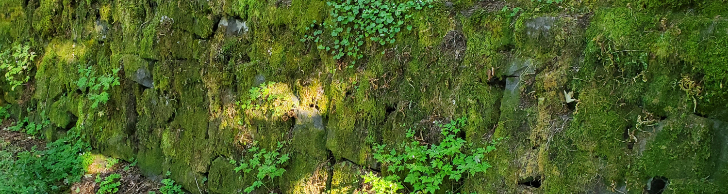
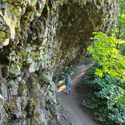
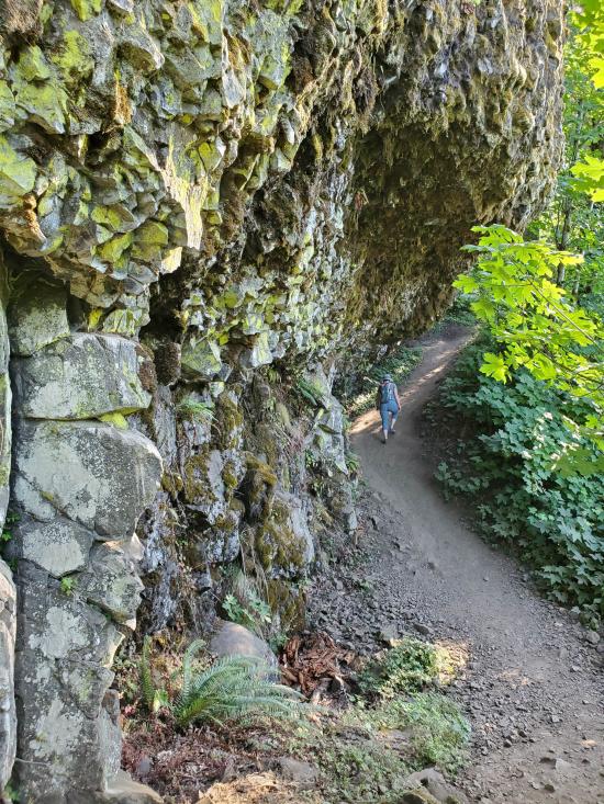
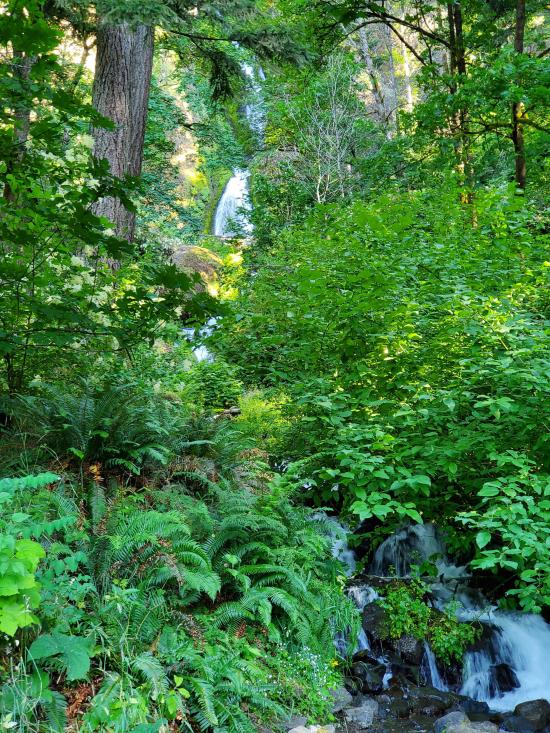
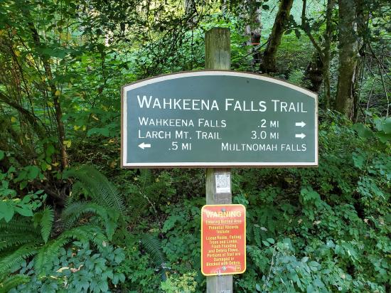
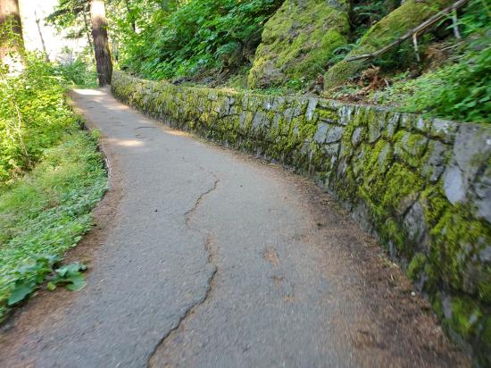
This short trail links Wahkeena Trail #420 to Multnomah Falls Recreation Area parking area. The trail parallels the Historic Highway and provides access to loop opportunities.
Trail Condition: Class 1 (Trail is either paved or gravel. Navigation skills are not needed because there is only one trail or because there are signs. Elevation gains are gradual or there are stairs.)
Time: 15 minutes
Length: 0.52 miles one way
Elevation Gain: Negligible
Fees: Parking
Recommended Ages:
 | 0-3 |
 | 4-11 |
 | 12-19 |
 | 20-49 |
 | 50-69 |
 | 70+ |
Recommended Months to Visit:
| Jan |
| Feb |
| Mar |
| Apr |
| May |
| Jun |
| Jul |
| Aug |
| Sep |
| Oct |
| Nov |
| Dec |
Links: https://www.fs.usda.gov/recarea/crgnsa/recreation/hiking/recarea/?recid=29964
Navigate to 45.577545, -122.117813.
Closest City or Region: Columbia River Gorge
Coordinates: 45.576406, -122.122843
By Jeremy Dye
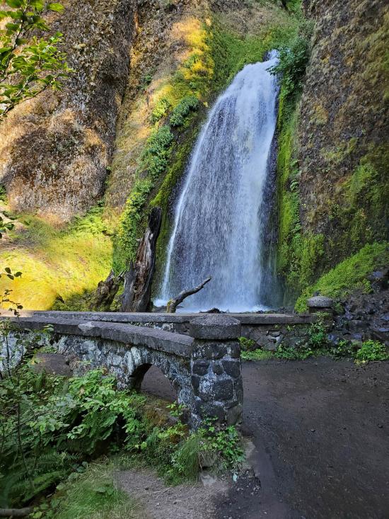
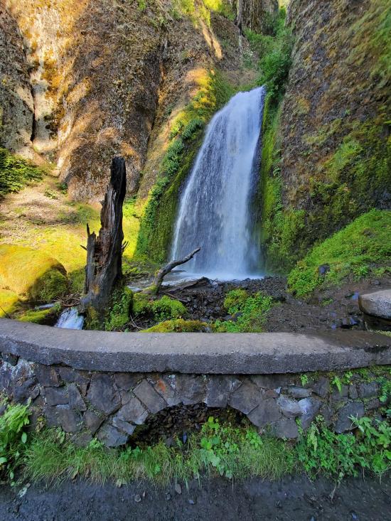
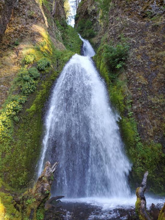
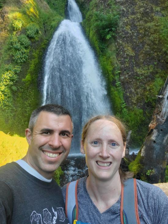
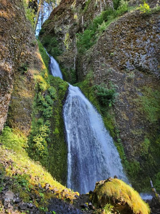
After Multnomah Falls, Tara and I hiked up the road to a Wahkeena Falls while we were waiting, but it still took about an hour for everyone else to catch up to us.


 Hagerman Fossil Beds National Monument
 Fort Dalles Museum and Anderson Homestead
Columbia Gorge Discovery Center & Museum
Mount St. Helens National Volcanic Monument
Mount St. Helens Visitor Center at Silver Lake
Recycled Spirits of Iron Sculpture Park
Longmire Transportation Exhibit
Henry M Jackson Visitor Center
Historic Columbia River Highway State Trail
Columbia Gorge Discovery Center & Museum
 Walking Trails
 Waterfalls
 Wildlife and Birding
 Wildflowers and Vegitation
 Pets Allowed
 Marked Trails
 No Restrooms
 Road Access is Paved
 Access Road is 2WD Accessible
 Viewpoint, Overlooks, Vistas
 Hiking Trails
