 Hiking | Wahkeena Falls Trail #420


Hype:
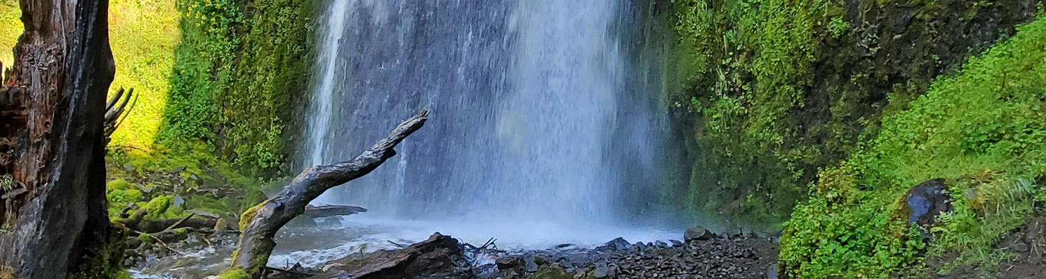
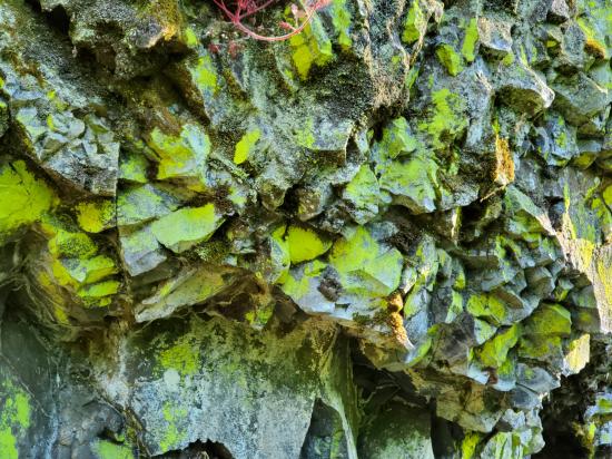
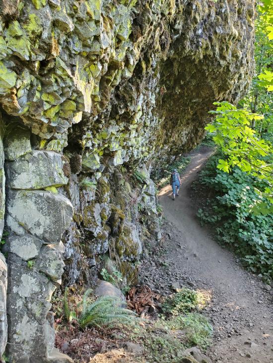
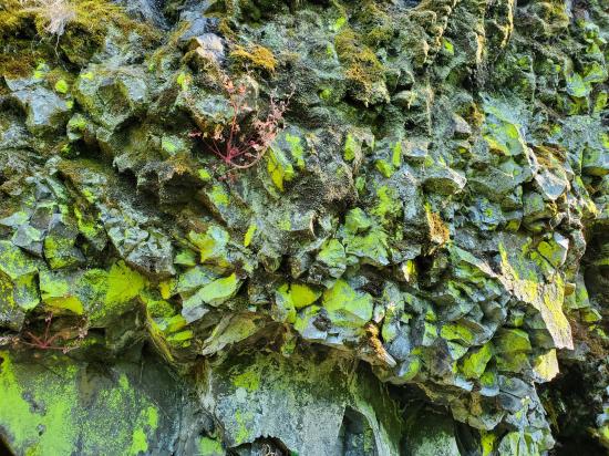
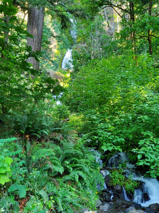
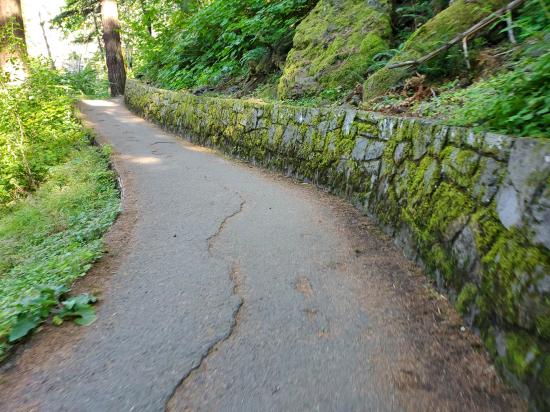
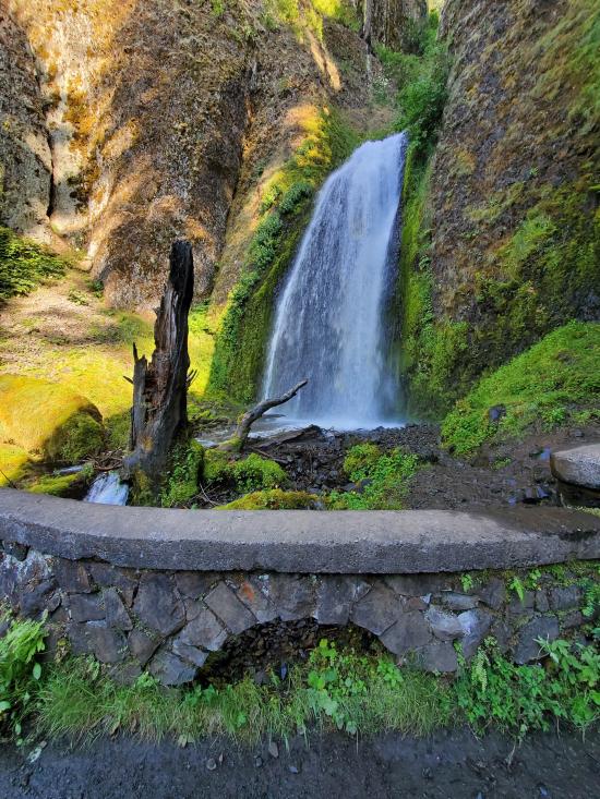
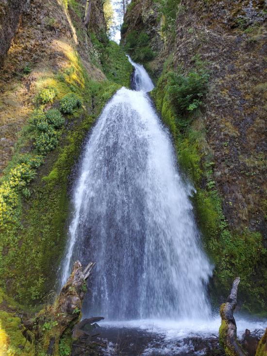
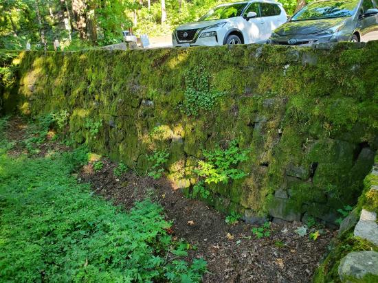
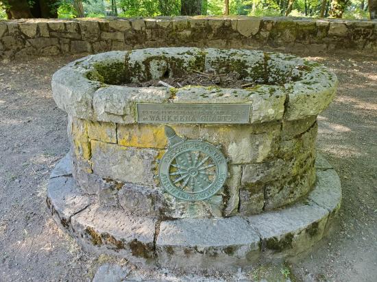
Wahkeena Trail offers a 2.8 mile hike filled with lush scenery, Columbia River views, glimpses of waterfalls, and charming historic stonework. It begins just west of Wahkeena Falls viewing platform, south of the Historic Columbia River Highway. The trail climbs to a stone bridge which crosses Wahkeena Creek before beginning a rapid ascent through a series of switchbacks, which receive spray from the waterfall. In the winter, ice along this section can be treacherous, and unlike nearby Multnomah Falls, the trail is not closed when icy so hikers should come prepared with traction devices.
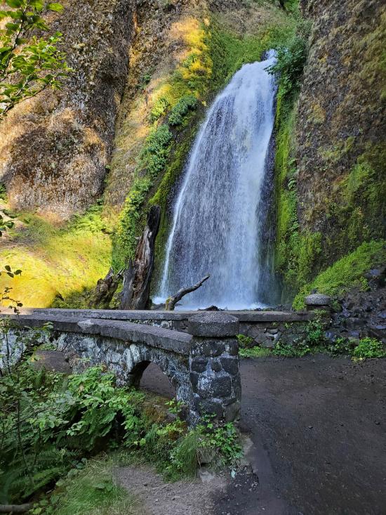
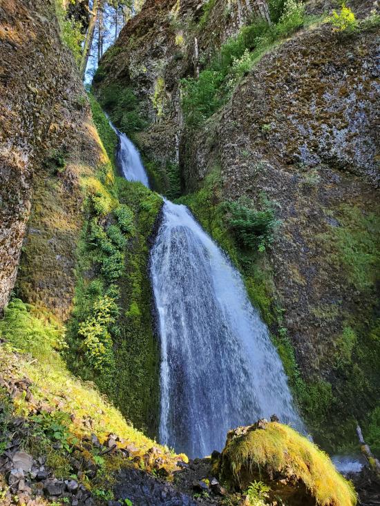
Fairy Falls is one of this trail's most popular stopping points. Located 1.1 miles up the trail, Fairy Falls plunges only 20-30 feet but offers a charming example of a fan type waterfall.
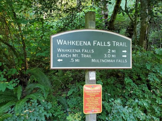
Wahkeena Trail is often combined with the lower 1.2 miles of Larch Mountain Trail #441 and the Return Trail for a 4.8 mile loop. The elevation changes can make it a rigorous hike, but its views and waterfalls are hard to beat so the trail system tends to be crowded all summer.
Wakheena can be used to create a variety of other loops, due to its access to Vista Point Trail #419, Angel's Rest Trail #415, and Devil's Rest Trail #420C. Hikers should come prepared with the Ten Hiking Essentials, including an up-to-date map showing topographic features.
Trail Condition: Class 2 (Trail may have tree roots or rocks jutting out. Navigation skills may consist of following rock cairns and choosing turns at junctions. Elevation gains may be more substantial.)
Time: 1-2 hours
Length: 2.8 miles one way to junction with 441
Elevation Gain: +2,125 / -1080 ft
Fees: Parking
Recommended Ages:
 | 0-3 |
 | 4-11 |
 | 12-19 |
 | 20-49 |
 | 50-69 |
 | 70+ |
Recommended Months to Visit:
| Jan |
| Feb |
| Mar |
| Apr |
| May |
| Jun |
| Jul |
| Aug |
| Sep |
| Oct |
| Nov |
| Dec |
Links: https://www.fs.usda.gov/recarea/crgnsa/recarea/?recid=29998
Closest City or Region: Columbia River Gorge
Coordinates: 45.574391, -122.127551
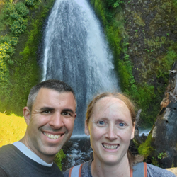
By Jeremy Dye
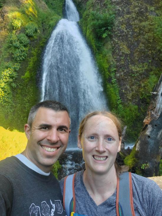
After Multnomah Falls, Tara and I hiked up the road to a Wahkeena Falls while we were waiting, but it still took about an hour for everyone else to catch up to us.

 Hagerman Fossil Beds National Monument
 Fort Dalles Museum and Anderson Homestead
Columbia Gorge Discovery Center & Museum
Mount St. Helens National Volcanic Monument
Mount St. Helens Visitor Center at Silver Lake
Recycled Spirits of Iron Sculpture Park
Longmire Transportation Exhibit
Henry M Jackson Visitor Center
Historic Columbia River Highway State Trail
Columbia Gorge Discovery Center & Museum
 Waterfalls
 Forest
 Mountains
 Hiking Trails
 Viewpoint, Overlooks, Vistas
 No Drinking Water
 Marked Trails
 Picnic Tables
 Restrooms - Flush
 Road Access is Paved
 Access Road is 2WD Accessible
 Interpretive Signs
 Wildflowers and Vegitation
 Wildlife and Birding
