 Hiking | Wahclella Falls Trail


Hype:
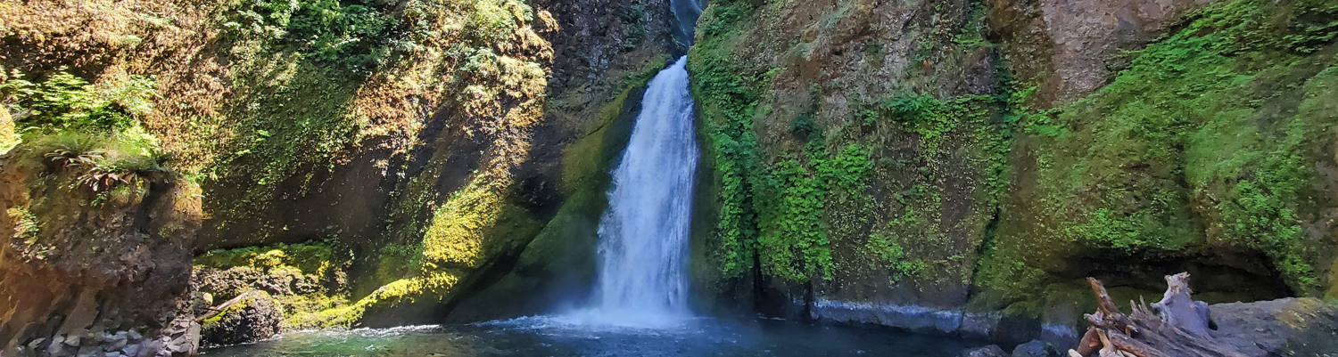
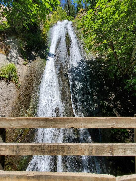
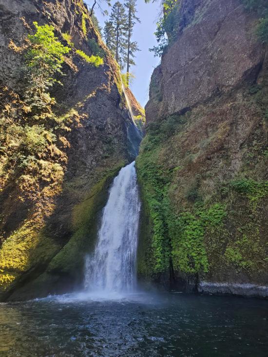
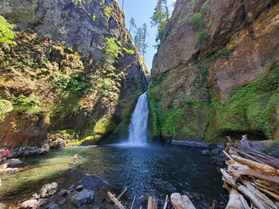
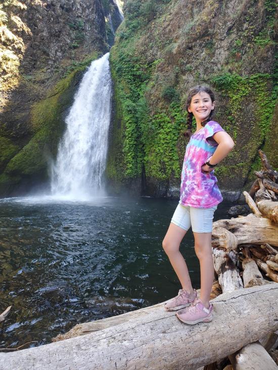
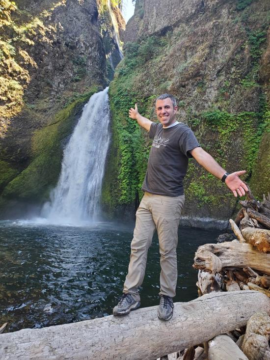
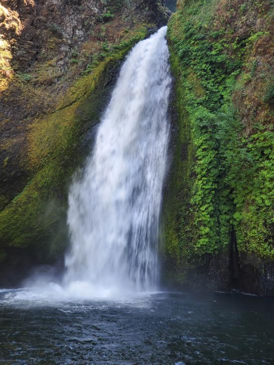
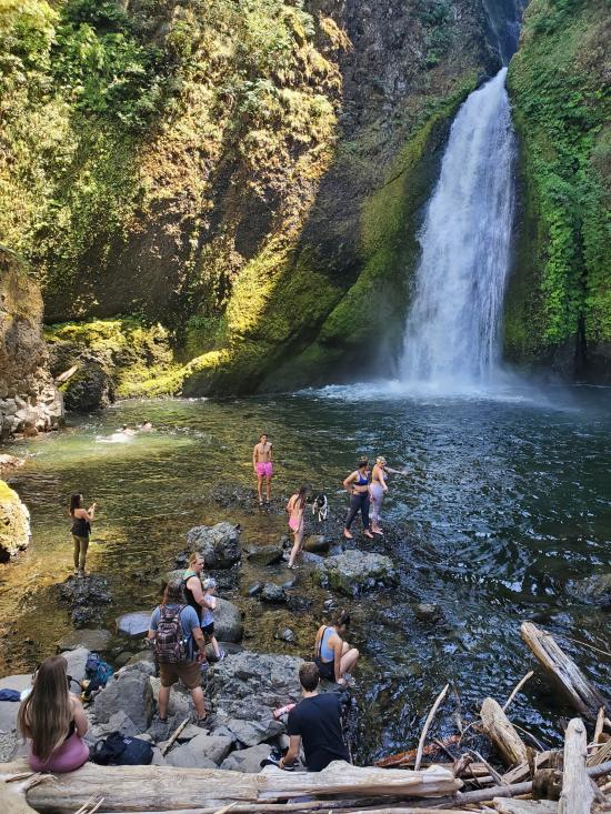
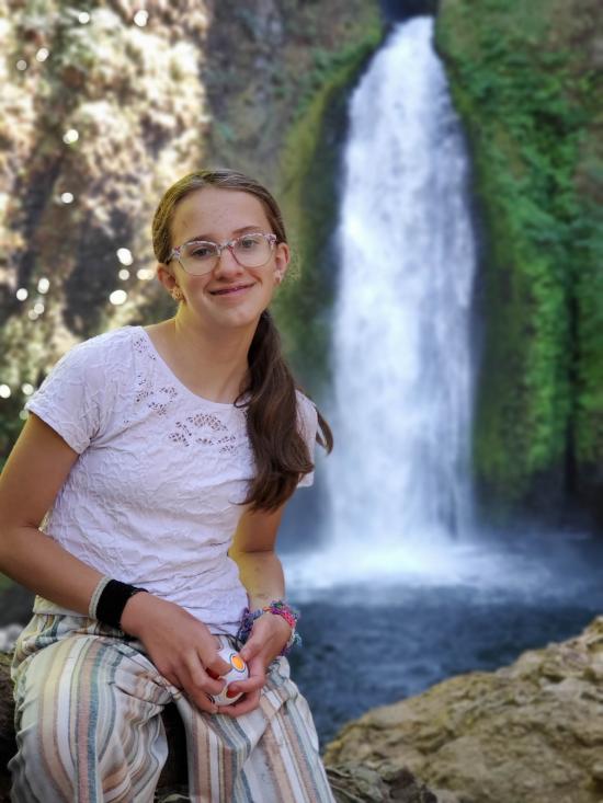
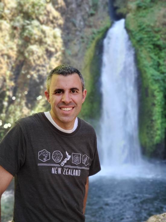
Wahclella Falls Trail offers a relatively easy, 2.4 mile out-and-back day hike through a slot canyon to one of the more spectacular waterfalls in the Gorge. It originally had a short loop at the end, but the upper section is closed due to damage from a 2017 fire. At the end of the trail lies Wahclella Falls, a 350-foot two-tiered plunge. The upper falls are 15-25 feet, while the lower 60-foot "horsetail" style falls plummets into an enormous splash pool.
Trail Condition: Class 0 (Trail is paved. No elevation gain.)
Time: 1-1.5 hours
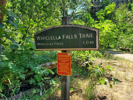
Length: 2.4 miles round trip
Elevation Gain: Negligible
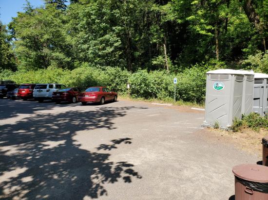
Fees: Parking
Recommended Ages:
 | 0-3 |
 | 4-11 |
 | 12-19 |
 | 20-49 |
 | 50-69 |
 | 70+ |
Recommended Months to Visit:
| Jan |
| Feb |
| Mar |
| Apr |
| May |
| Jun |
| Jul |
| Aug |
| Sep |
| Oct |
| Nov |
| Dec |
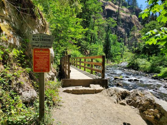
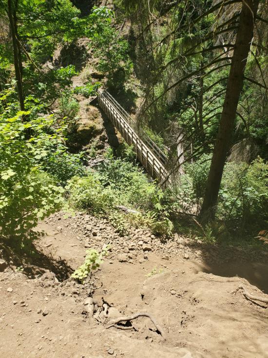
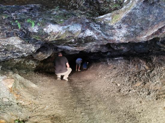
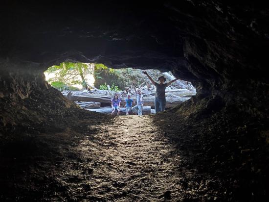
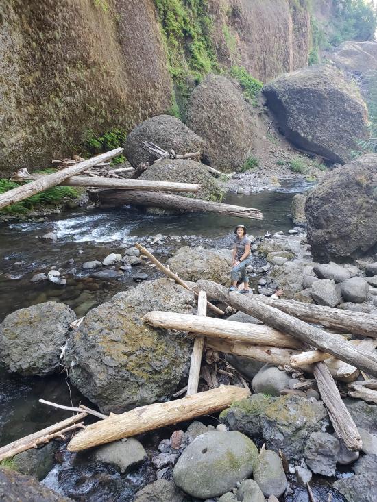
The trail begins on an old, gated road alongside Tanner Creek. Pass a small intake dam for the Bonneville Fish Hatchery and continue into the narrowing canyon. A tributary stream creates a dramatic waterfall at the first bridge, and the trail forks after 0.7 mile. The upper section of trail was heavily damaged after the 2017 Eagle Creek Fire burned away vegetation from the slopes, causing landslides and rockfall to cover parts of the trail and damage the bridge.
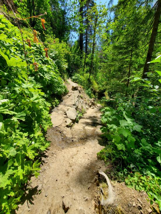
The trail winds past house-sized boulders left behind by an earlier 1973 landslide, and enters the Mark O. Hatfield wilderness.
At the end of the trail lies Wahclella Falls, a 350-foot two-tiered plunge. The upper falls are 15-25 feet, while the lower 60-foot "horsetail" style falls plummets into an enormous splash pool. Watch for water ouzels bobbing and diving on the side of the stream, and for spawning salmon at the base of the falls during late fall.
In 2017, Eagle Creek Fire burned especially hot in the Tanner Creek watershed that feeds into Wahclella Falls, so we do not recommend hiking the area during or within 48-hours of heavy rain and snow events, as these can trigger flash floods, tree fall, and landslides. Risks will remain elevated for up to 10 years after the fire.
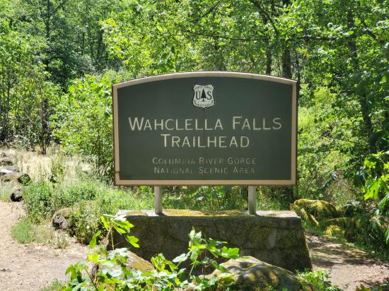
Closest City or Region: Columbia River Gorge
Coordinates: 45.630219, -121.953931
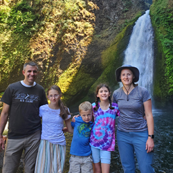
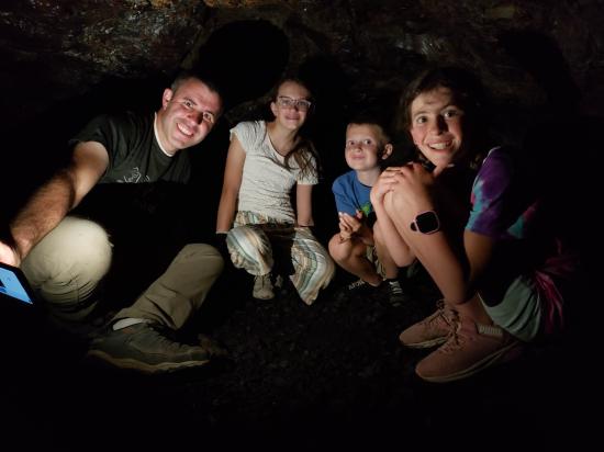
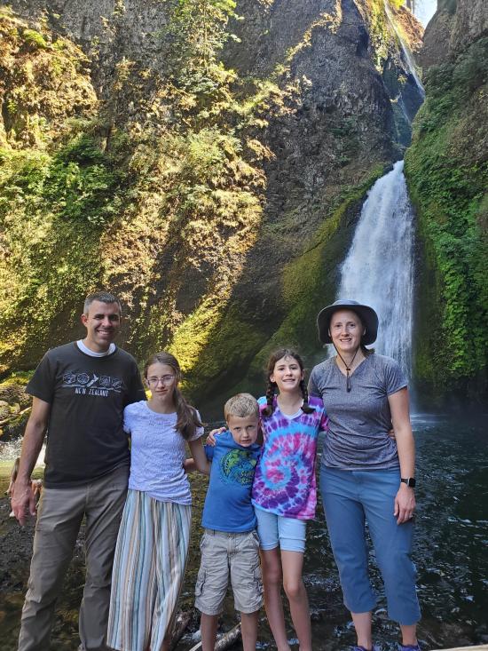
By Jeremy Dye
Jeremy Dye, Tara Dye, Savannah Dye, Madilyn Dye, Cooper Dye,
Start: 1:20
Falls: 2:10
Finish: 2:55
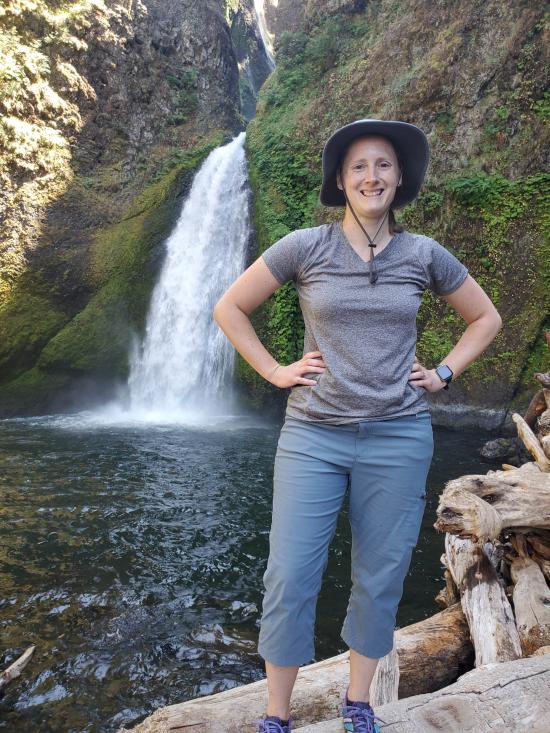
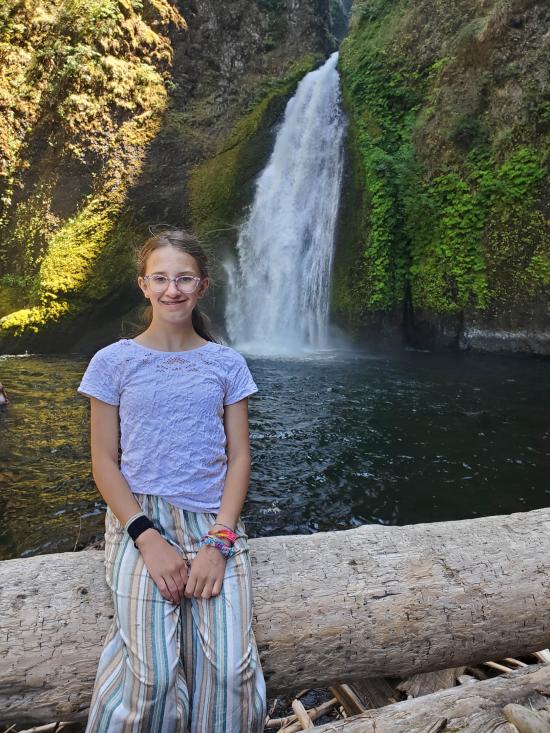
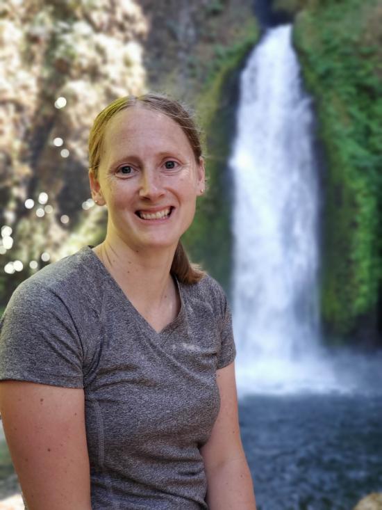
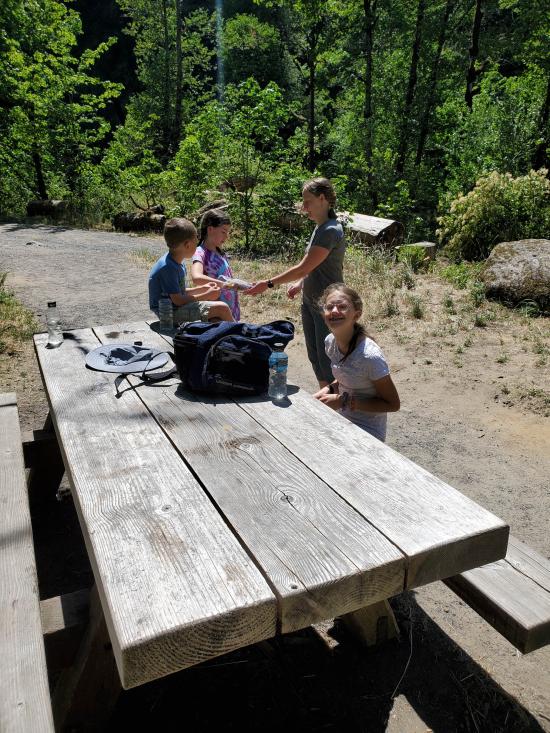
After lunch on Saturday, we did our waterfall hike to Wahclella Falls. My family joined up with us at the end while we were playing cards waiting for them.

 Hagerman Fossil Beds National Monument
 Fort Dalles Museum and Anderson Homestead
Columbia Gorge Discovery Center & Museum
Mount St. Helens National Volcanic Monument
Mount St. Helens Visitor Center at Silver Lake
Recycled Spirits of Iron Sculpture Park
Longmire Transportation Exhibit
Henry M Jackson Visitor Center
Historic Columbia River Highway State Trail
Columbia Gorge Discovery Center & Museum
 Rivers and Streams
 Forest
 Waterfalls
 Mountains
 Marked Trails
 No Restrooms
 Road Access is Paved
 Access Road is 2WD Accessible
 Viewpoint, Overlooks, Vistas
 Interpretive Signs
 Wildflowers and Vegitation
 Wildlife and Birding
 Pets Allowed
