 Hiking | Call of the Canyon (West Fork Oak Creek) Trail


Hype:
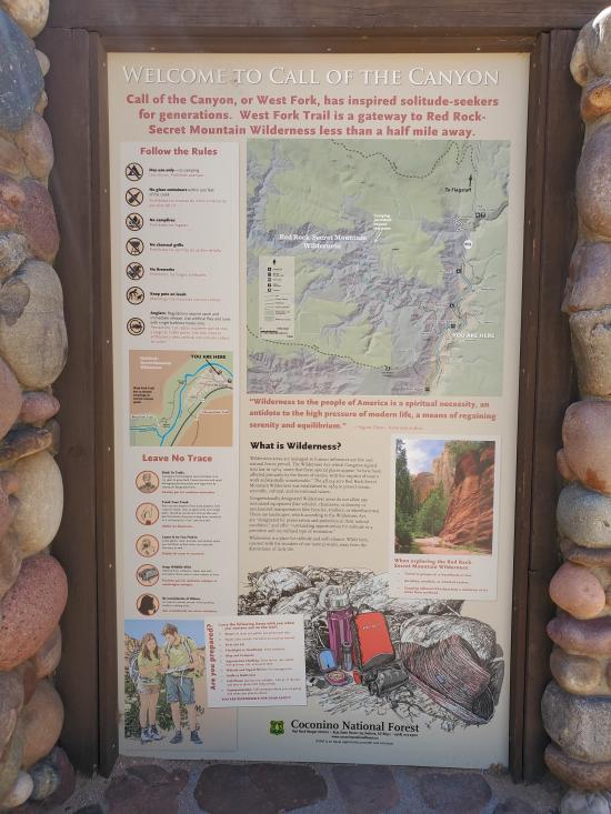
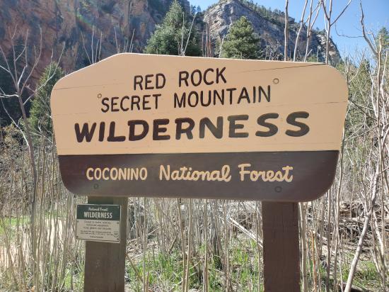
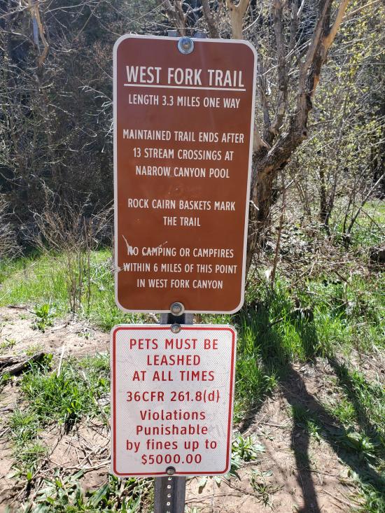
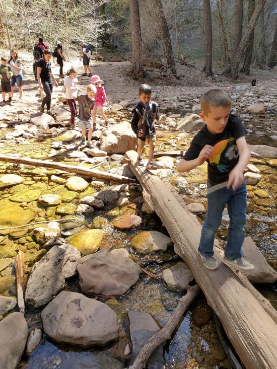
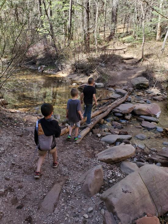
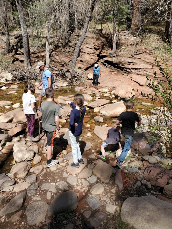
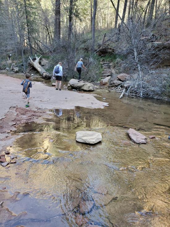
West Fork is one of the most popular trails on the Coconino National Forest. The trail itself is an easy stroll, but you do have to cross the stream in a number of places. Usually, that involves negotiating a few strategically placed stepping stones or taking a couple of steps in shallow water. The trail is marked and maintained for the first three miles.
Trail Condition: Class 2 (Trail may have tree roots or rocks jutting out. Navigation skills may consist of following rock cairns and choosing turns at junctions. Elevation gains may be more substantial.)
Time: 2-3 hours round trip
Length: 6.4 miles round trip
Elevation Gain: 814 ft / -575 ft one way
Fees: Red Rock pass or National Parks pass is required
Recommended Ages:
 | 0-3 |
 | 4-11 |
 | 12-19 |
 | 20-49 |
 | 50-69 |
 | 70+ |
Recommended Months to Visit:
| Jan |
| Feb |
| Mar |
| Apr |
| May |
| Jun |
| Jul |
| Aug |
| Sep |
| Oct |
| Nov |
| Dec |
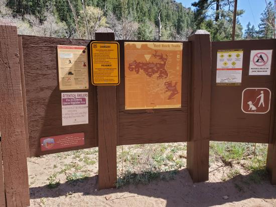
Links: https://www.fs.usda.gov/recarea/coconino/recarea/?recid=55432
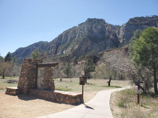
Navigate to 34.990610, -111.743129.
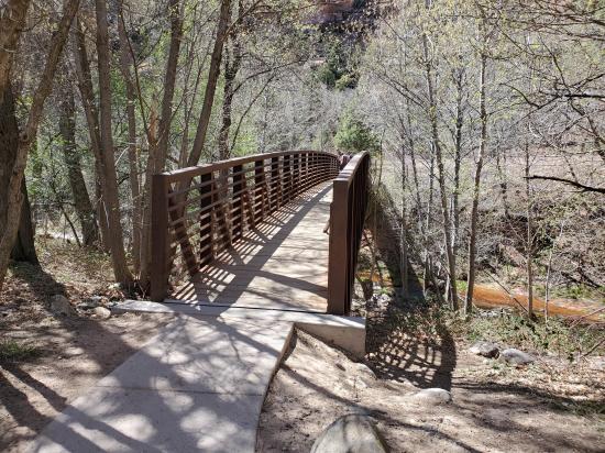
From the trailhead, follow the well-signed trail west for 200 yards to a steel truss pedestrian bridge. Cross the bridge then turn left.
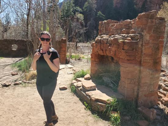
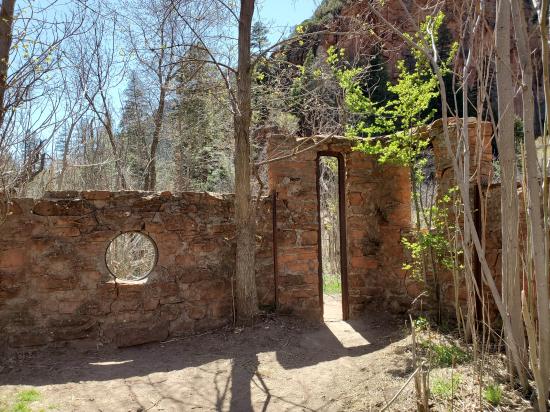
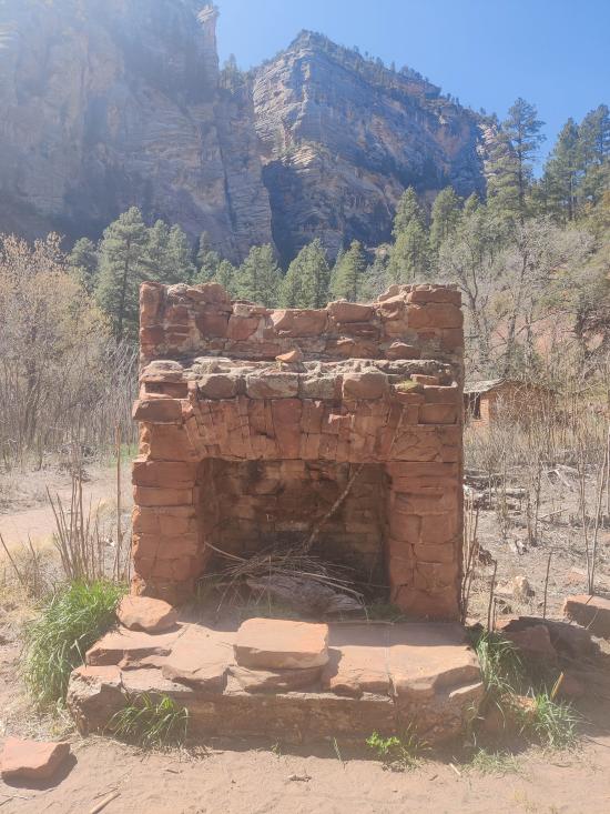
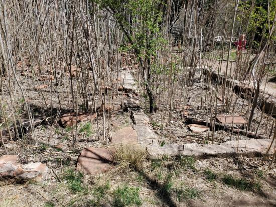
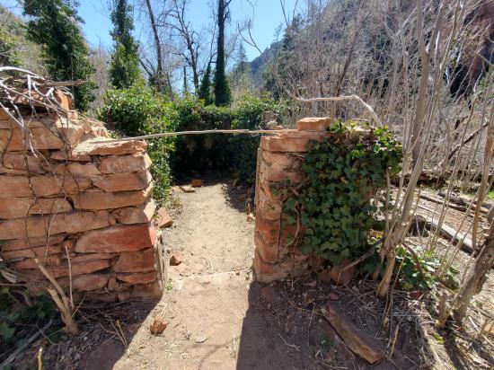
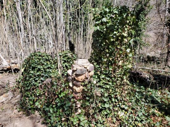
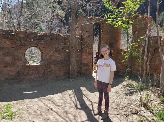
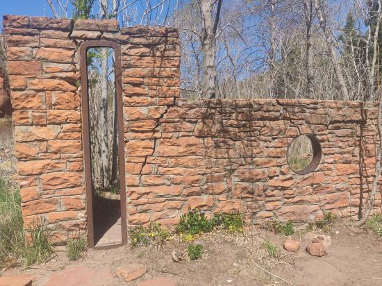
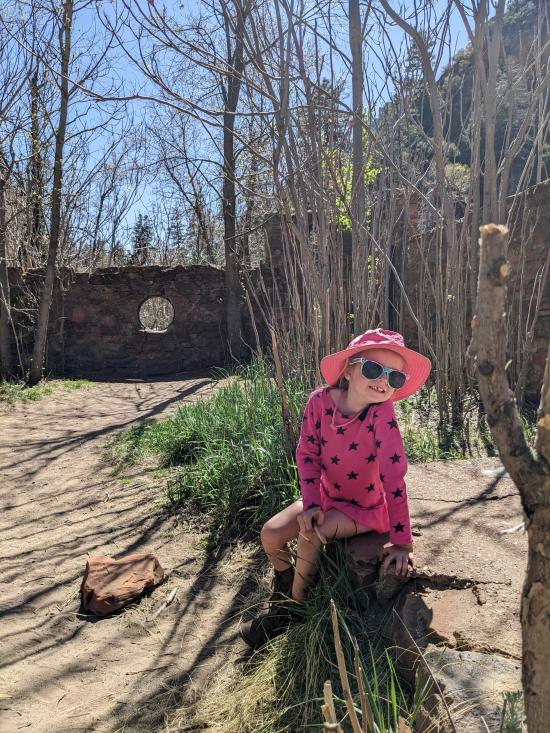
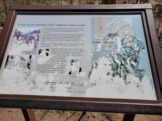
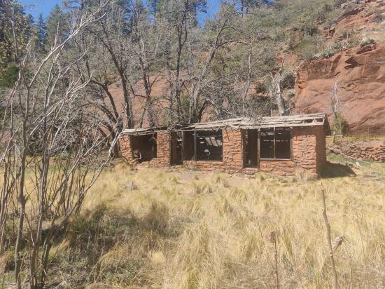
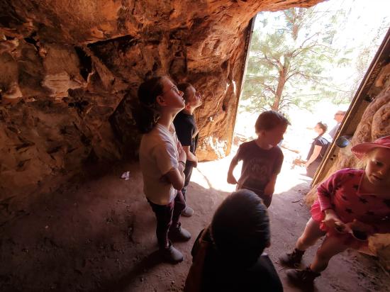
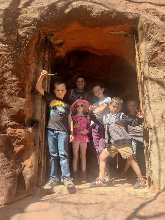
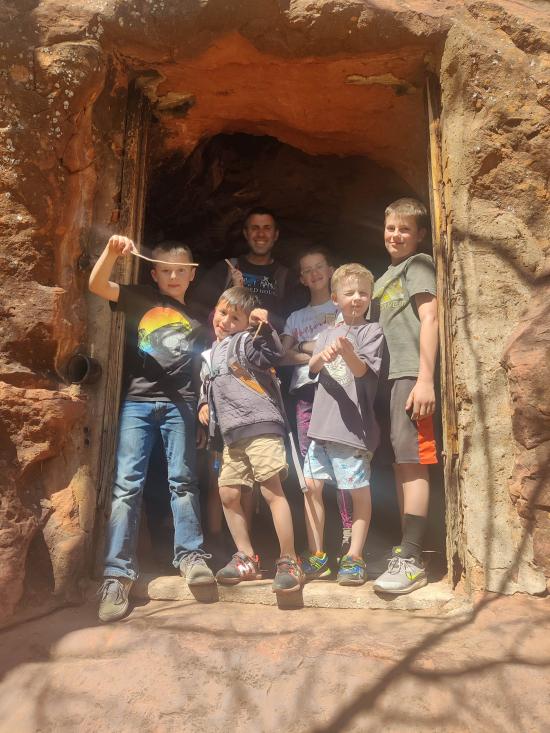
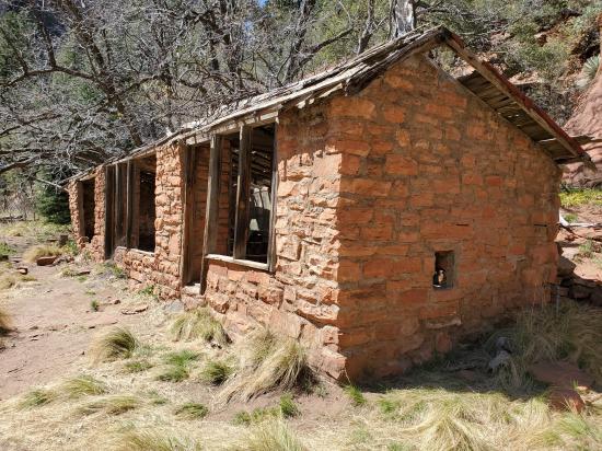
Continue another 300 yards south to the mouth of the canyon. Explore the Mayhew Lodge Site, a collection of stone foundations and stone walls that were built between 1870 and 1926 and closed in 1968.
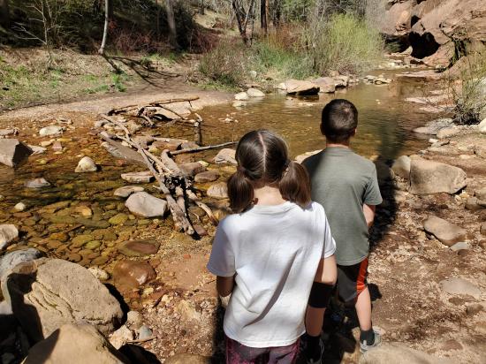
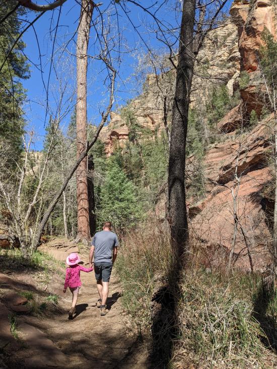
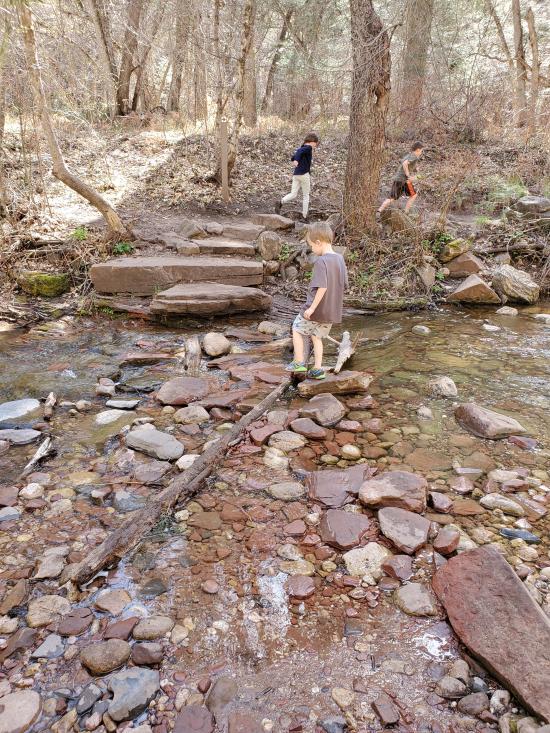
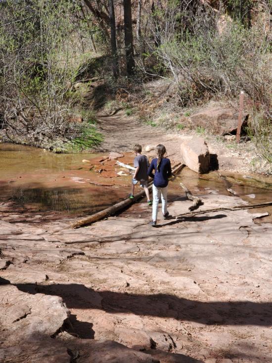
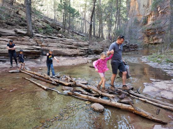
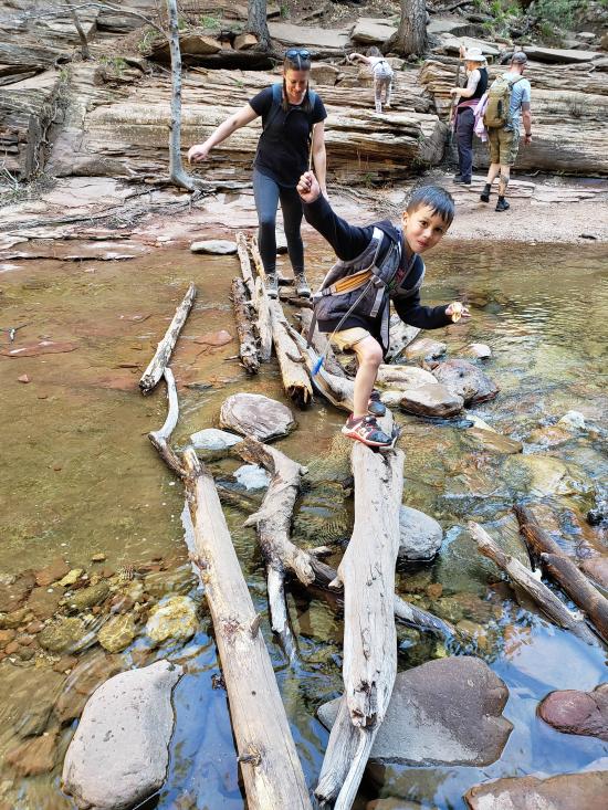
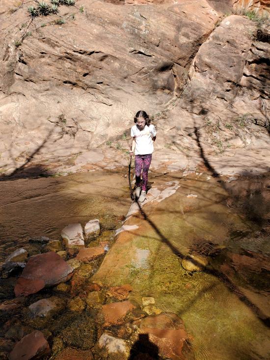
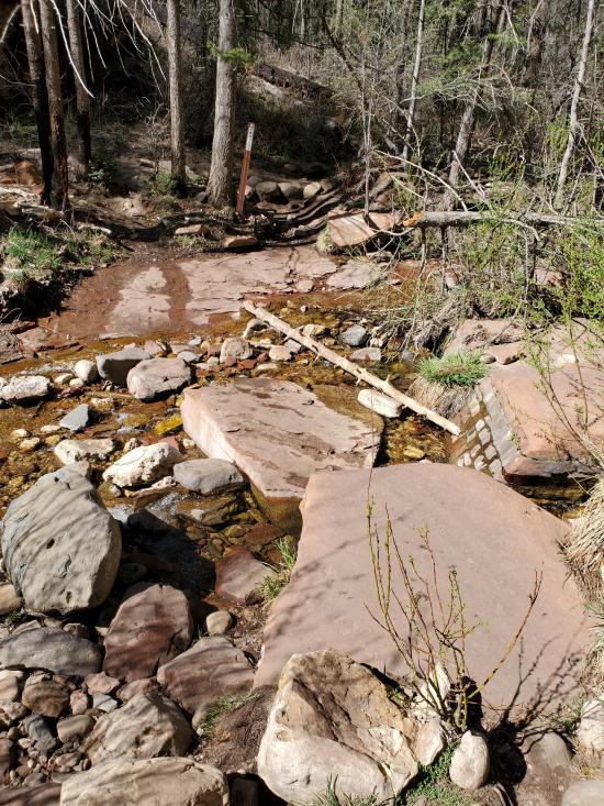
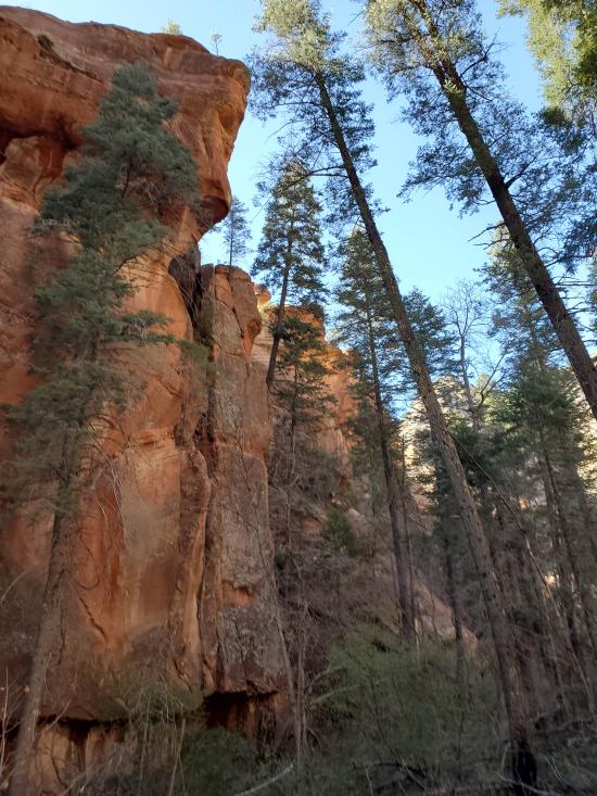
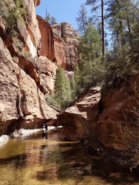
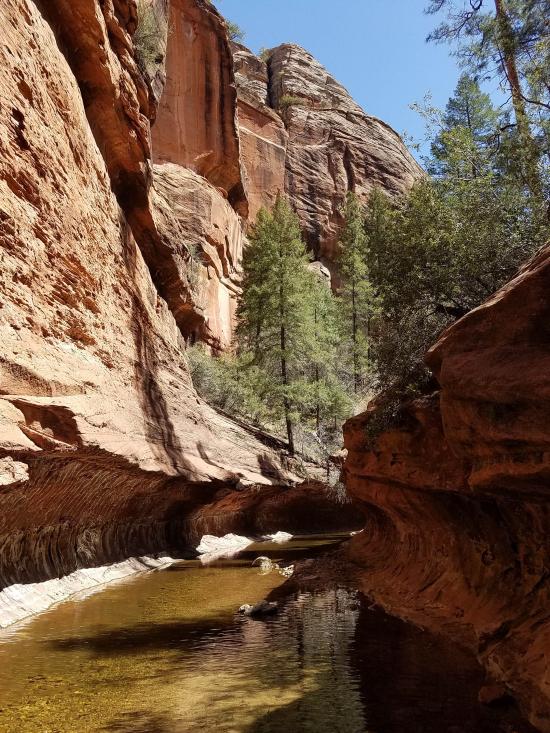
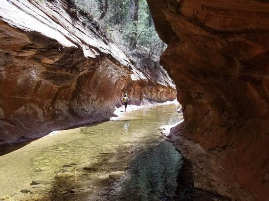
The trail turns west and enters the canyon, following the meanders of the stream in a generally northwest direction for the rest of the distance. Along the way, you'll cross the stream about a dozen times, most or all of which can be done by walking on logs or rocks that other hikers have placed.
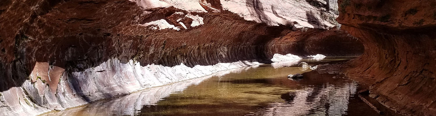
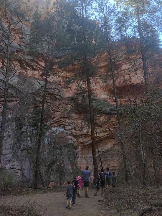
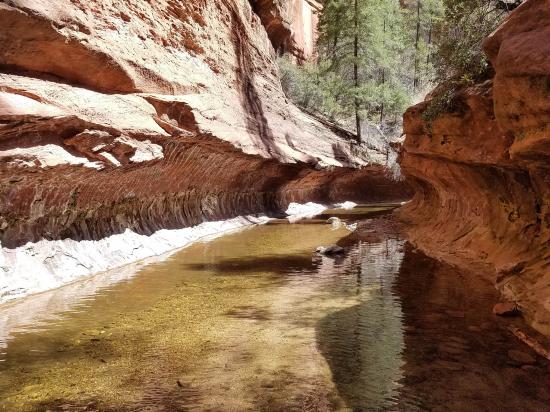
At the end of the trail is a short but scenic section of canyon wall that is hollowed out similar to a subway tunnel.
Return the way you came.
Closest City or Region: Sedona, Arizona
Coordinates: 34.990610, -111.743129
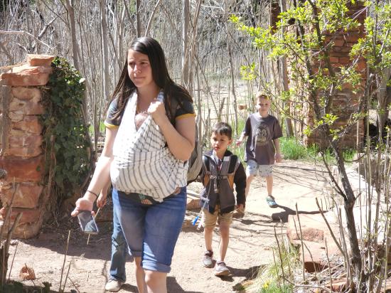
By Jeremy Dye
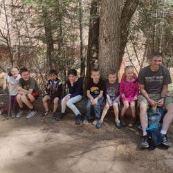
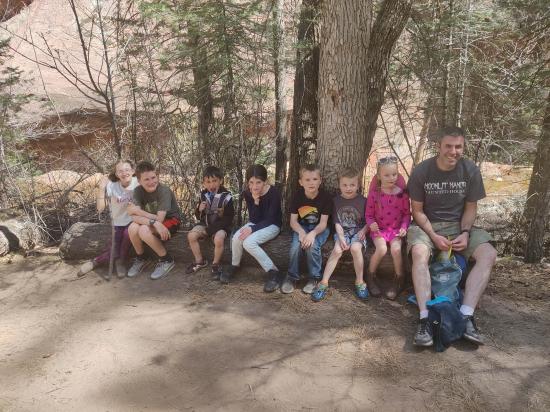
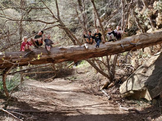
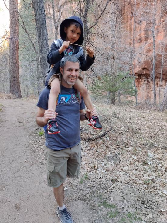
Jeremy Dye, Tara Dye, Savannah Dye, Madilyn Dye, Cooper Dye, Ondylyn Wagner, Killian Wagner, Calliope Wagner, Matt Laurendeau, Amanda Laurendeau, Alex Laurendeau, Caleb Laurendeau, Rose Laurendeau, ,
Start: 1:50
End: 5:15
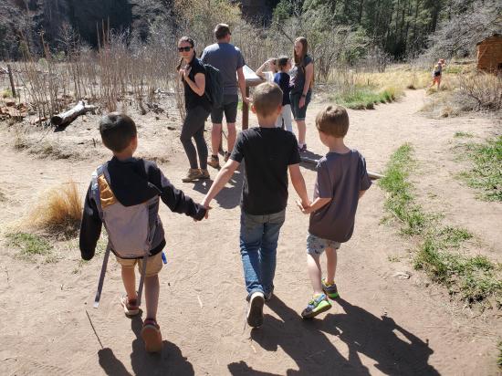
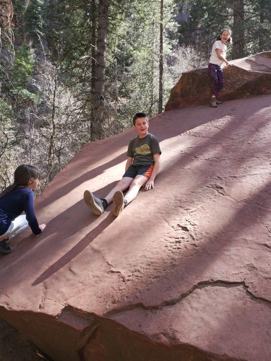
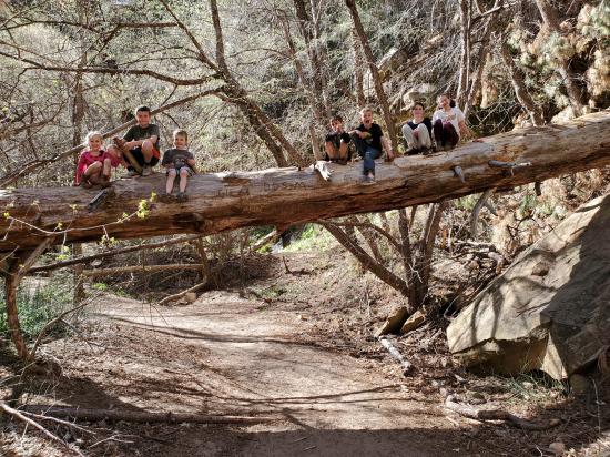
After visiting Slide Rock State Park, we came back to West Fork and this time there was a parking spot available. Just as we were starting, we passed the Parkers who were just finishing up their hike. The trail was pretty, but because of our late start and the number of small kids in our group, we turned around about 0.75 miles from the end.
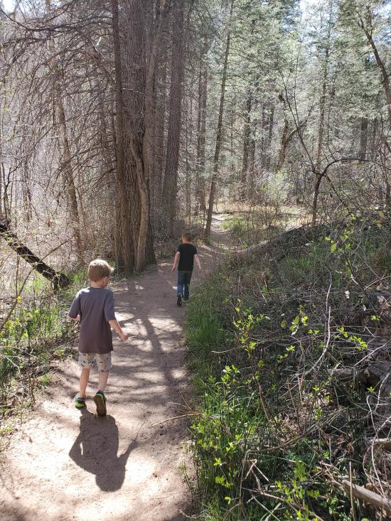
Cooper drank a Crystal Light that had caffeine in it and was super energetic on the hike. Then when we told him that it was because of the caffeine, he had even more energy. We used the placebo effect the whole return hike to encourage him to hike fast. It was really funny.


 Lee's Ferry Historic District River Trail
 Navajo Bridge Interpretive Center
Red Rock State Park Miller Visitor Center
Red Rock State Park Trail System
 Sunset Crater Volcano National Monument
Sunset Crater Volcano Visitor Center
Call of the Canyon (West Fork Oak Creek) Trail
Walnut Canyon National Monument
 Primitive Camping along Loy Butte Road
Montezuma Castle National Monument
Primitive Camping along Loy Butte Road
Call of the Canyon (West Fork Oak Creek) Trail
 Hiking Trails
 Rivers and Streams
 Mountains
 Wayfinding
 Restrooms - Vault
 Road Access is Paved
 Access Road is 2WD Accessible
 Viewpoint, Overlooks, Vistas
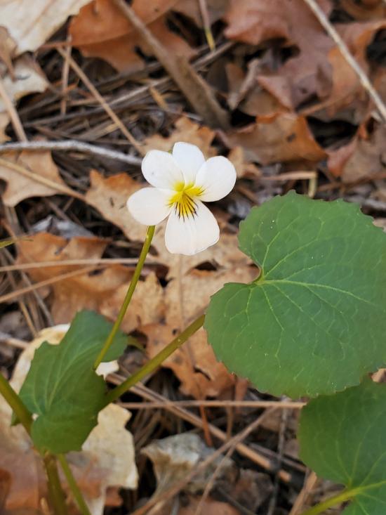
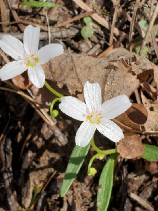
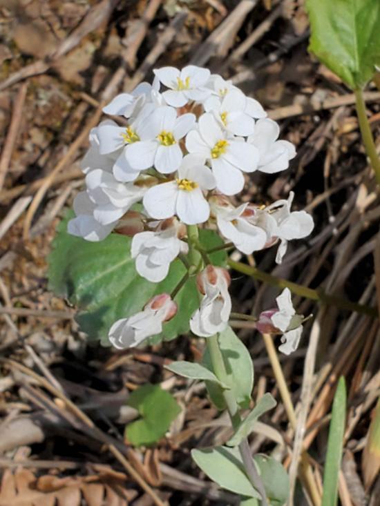
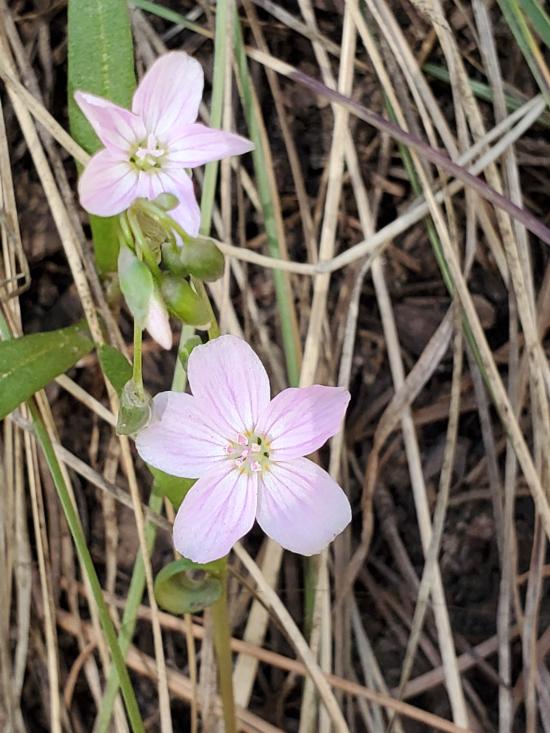
 Wildflowers and Vegitation
 Wildlife and Birding