 Hiking | Red Rock State Park Trail System


Hype:
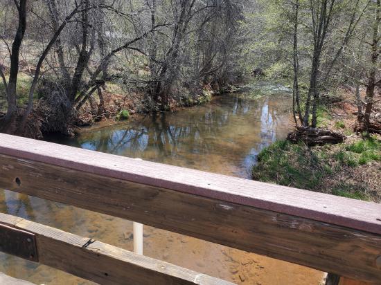
The 5-mile trail network consists of interconnecting loops which lead you along the lush greenery of Oak Creek and the famed red rocks of Sedona. Bikes and horses are only allowed on designated routes.
Trail Condition: Class 2 (Trail may have tree roots or rocks jutting out. Navigation skills may consist of following rock cairns and choosing turns at junctions. Elevation gains may be more substantial.)
Time: 0 to 3 hours
Length: Varies, 0 to 5 miles depending on trail segments
Elevation Gain: up to 200 ft
Fees: Park Entrance
Recommended Ages:
 | 0-3 |
 | 4-11 |
 | 12-19 |
 | 20-49 |
 | 50-69 |
 | 70+ |
Recommended Months to Visit:
| Jan |
| Feb |
| Mar |
| Apr |
| May |
| Jun |
| Jul |
| Aug |
| Sep |
| Oct |
| Nov |
| Dec |
Links: https://azstateparks.com/red-rock/things-to-do/trails
Navigate to 34.812923, -111.830563.
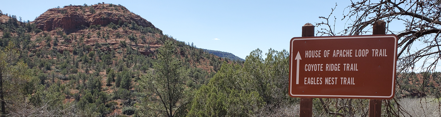
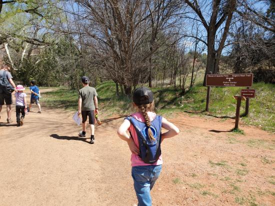
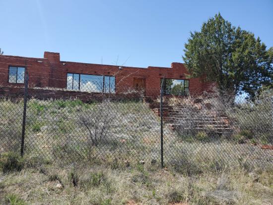
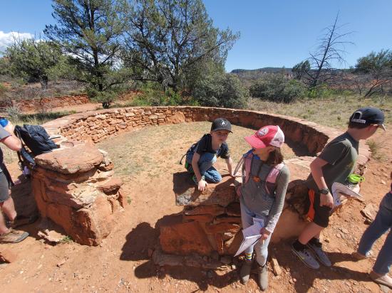
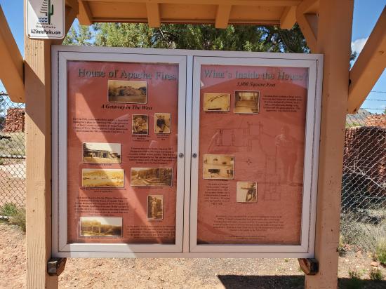
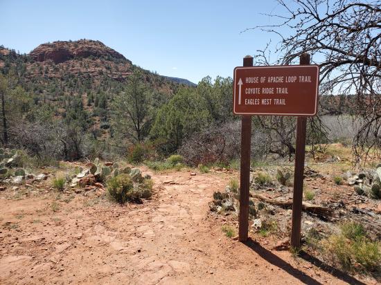
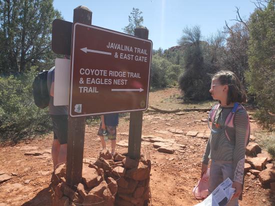
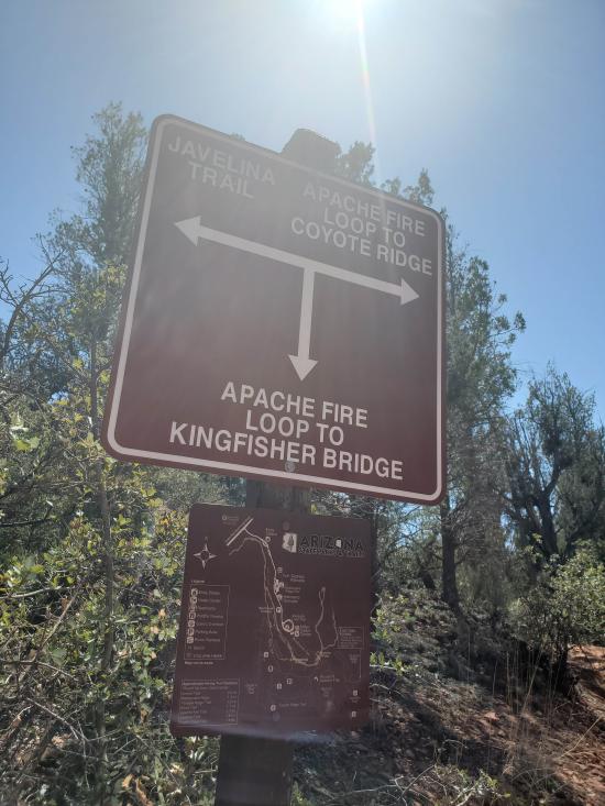
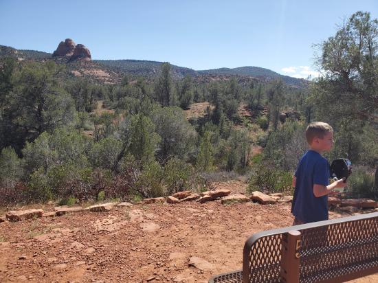
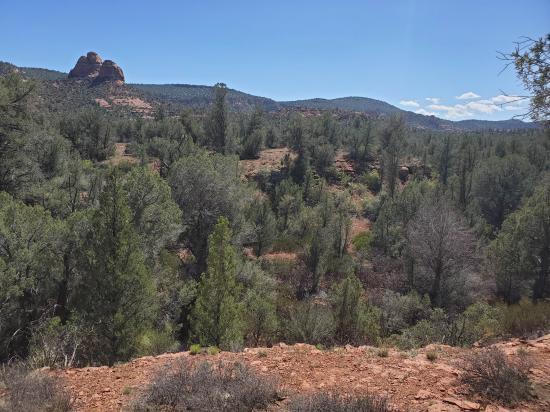
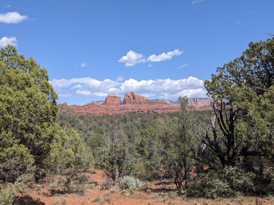
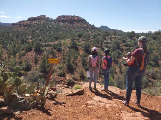
The Eagle's Nest Loop and the Apache Fire Loop are joined together by the Coyote Ridge Trail which creates one of the best trails in Arizona for family enjoyment. Eagle's Nest is the highest point in the park with an elevation gain of 300' and offers amazing views of the red rock escarpments that have helped catapult Sedona into a worldwide destination. These three major loops are connected along the riparian corridor by the Kisva Trail, which also leads up to the short loop of the Yavapai Ridge Trail. The Javelina Trail takes you into the pinyon/juniper woodlands and back to the other loops. Stop by the visitor center desk for detailed information before starting out on the trails, or visit the main hiking page for featured trail information.
Closest City or Region: Red Rock State Park, Arizona
Coordinates: 34.809723, -111.824619
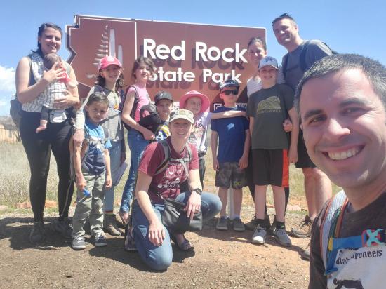
By Jeremy Dye
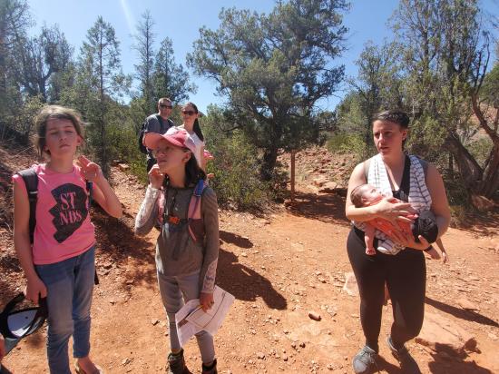
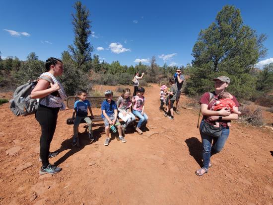
Jeremy Dye, Tara Dye, Savannah Dye, Madilyn Dye, Cooper Dye, Ondylyn Wagner, Killian Wagner, Matt Laurendeau, Amanda Laurendeau, Alex Laurendeau, Caleb Laurendeau, Rose Laurendeau,
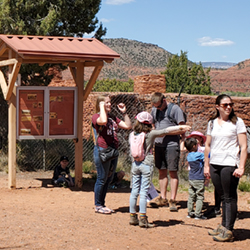
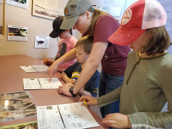
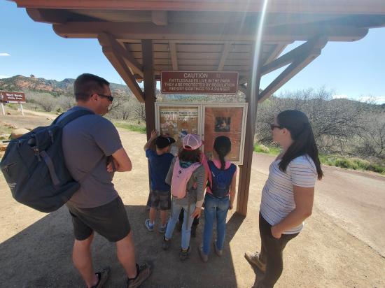
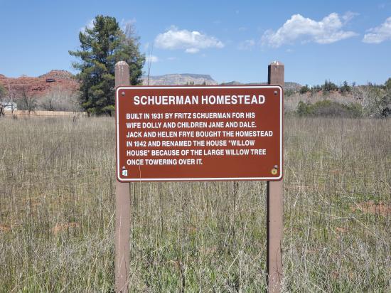
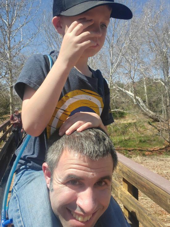
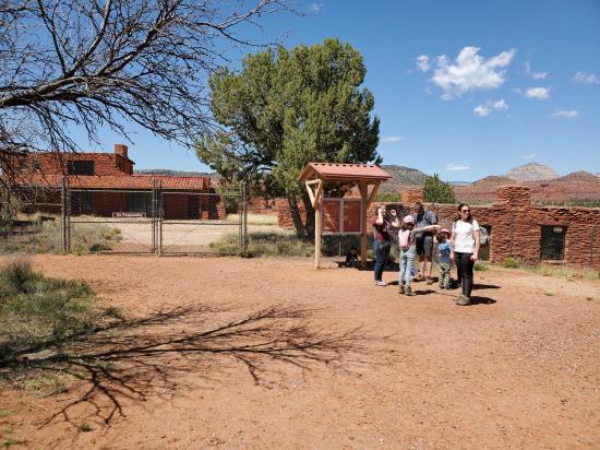
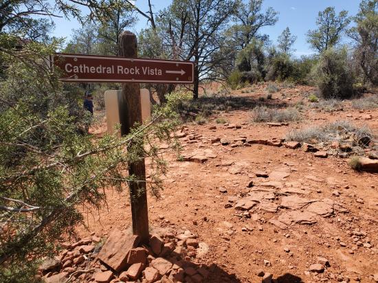
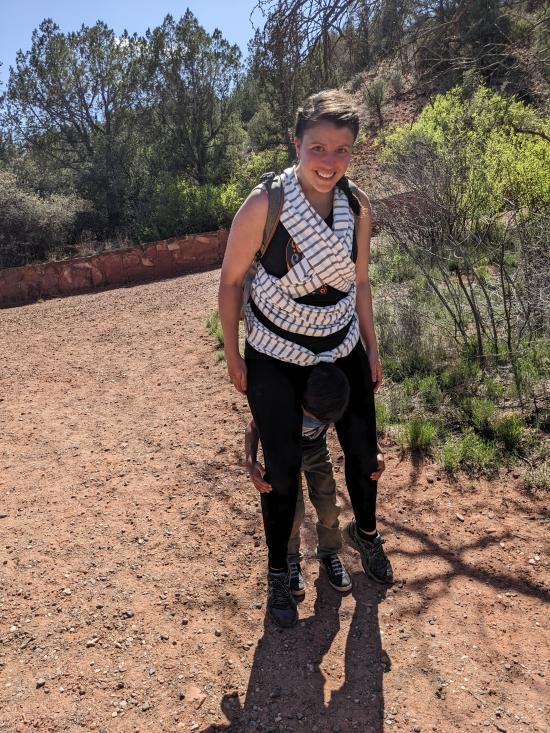
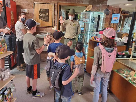
We were hoping to hike to Cathedral Rock, but when we got to the trailhead the parking lot was full and a police officer was directing traffic away. So we tried parking up the road at a shuttle stop, but that parking lot was full too. Rather than fight the crowds, we opted to head over to Red Rock State Park instead. We stopped at the visitor center first and the kids did their Junior Ranger booklet activities. Then we went out back and hiked several of the trails in a big loop. We were not very impressed because the trails just kind of wandered around and the landmarks that were shown on the map were not very interesting. After the hike, we went back to the visitor center so the kids could receive their buttons.
 Lee's Ferry Historic District River Trail
 Navajo Bridge Interpretive Center
Red Rock State Park Miller Visitor Center
Red Rock State Park Trail System
 Sunset Crater Volcano National Monument
Sunset Crater Volcano Visitor Center
Call of the Canyon (West Fork Oak Creek) Trail
Walnut Canyon National Monument
 Primitive Camping along Loy Butte Road
Montezuma Castle National Monument
 Hiking Trails
 Viewpoint, Overlooks, Vistas
 Wildlife and Birding
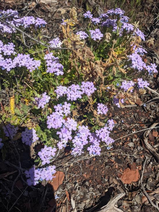
 Wildflowers and Vegitation
 Road Access is Paved
 Access Road is 2WD Accessible
 Marked Trails
 Desert
 Mountains
 Rivers and Streams
 No Drinking Water