 Hiking | Lenox Crater Trail


Hype:
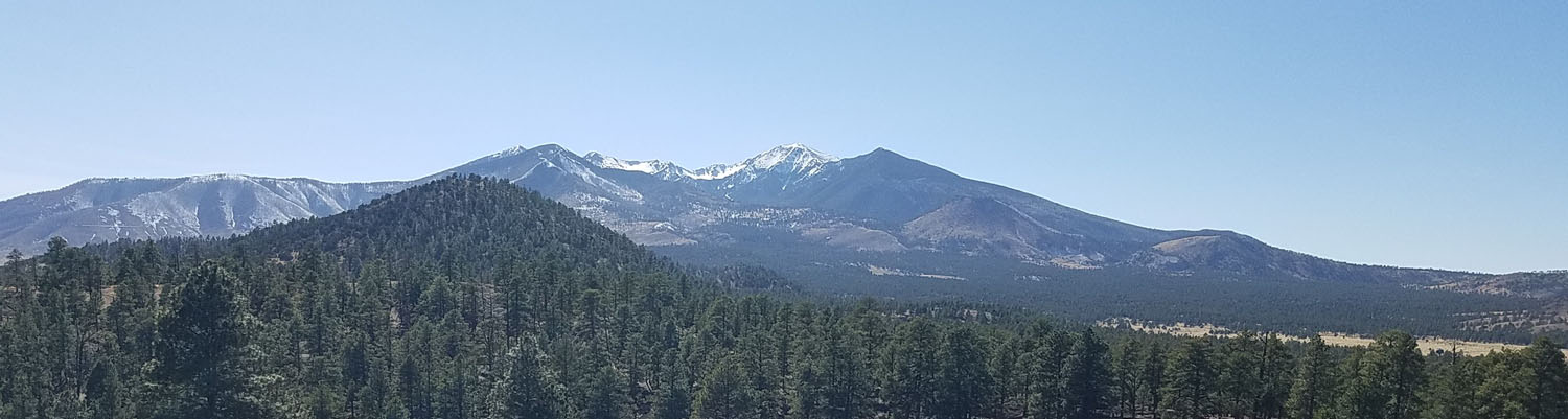
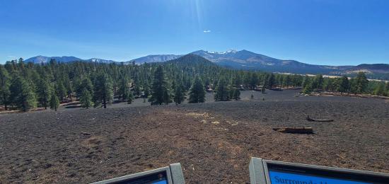
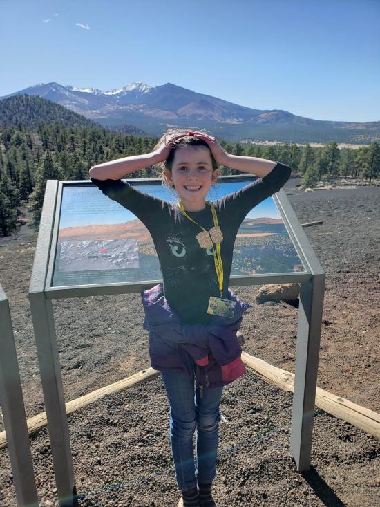
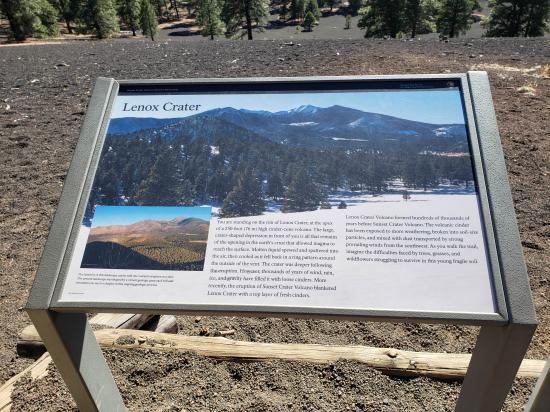
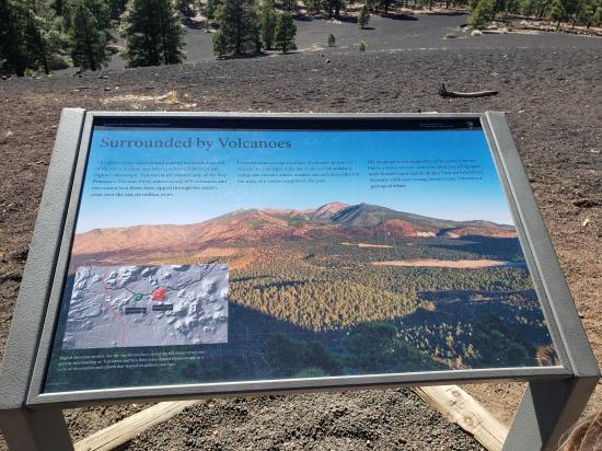
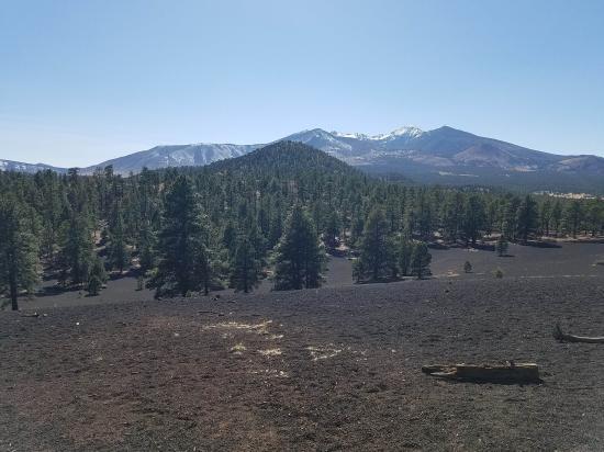
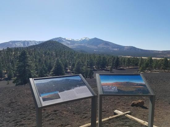
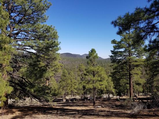
Walk in a ponderosa pine forest while viewing Sunset Crater Volcano, the Bonito Lava Flow, O’Leary Peak, and from the summit, sweeping views of the San Francisco Peaks.
Trail Condition: Class 2 (Trail may have tree roots or rocks jutting out. Navigation skills may consist of following rock cairns and choosing turns at junctions. Elevation gains may be more substantial.)
Time: 1.5 hours
Length: 1.6 miles round trip
Elevation Gain: Negligible
Fees: Park Admission
Recommended Ages:
 | 0-3 |
 | 4-11 |
 | 12-19 |
 | 20-49 |
 | 50-69 |
 | 70+ |
Recommended Months to Visit:
| Jan |
| Feb |
| Mar |
| Apr |
| May |
| Jun |
| Jul |
| Aug |
| Sep |
| Oct |
| Nov |
| Dec |
Links: https://www.nps.gov/sucr/planyourvisit/hikes-and-trails.htm
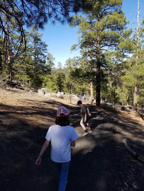
From the a'a trailhead, cross the road to the south and follow the well-maintained trail in a clockwise or counter-clockwise loop. At the high point of the trail is a lookout with views into the Lenox Crater.
Closest City or Region: Sunset Crater Volcano National Monument, Arizona
Coordinates: 35.361557, -111.527354
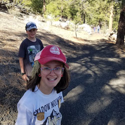
By Jeremy Dye
Tara Dye, Savannah Dye, Madilyn Dye, ,
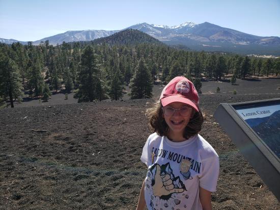
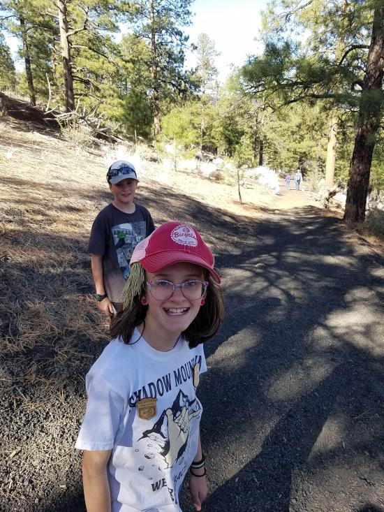
The younger kids were hiked out, so we split into two groups. One group hung out at the visitor center and the other group hiked up to Lenox Crater.

 Lee's Ferry Historic District River Trail
 Navajo Bridge Interpretive Center
Red Rock State Park Miller Visitor Center
Red Rock State Park Trail System
 Sunset Crater Volcano National Monument
Sunset Crater Volcano Visitor Center
Call of the Canyon (West Fork Oak Creek) Trail
Walnut Canyon National Monument
 Primitive Camping along Loy Butte Road
Montezuma Castle National Monument
 Volcanoes
 Hiking Trails
 Marked Trails
 Viewpoint, Overlooks, Vistas
 Interpretive Signs
 Road Access is Paved
 Access Road is 2WD Accessible
 No Restrooms
 No Drinking Water
 Wildflowers and Vegitation