 Hiking | Montezuma Well Trail


Hype:
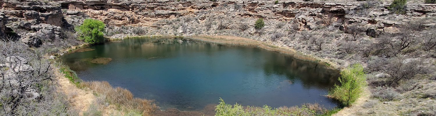
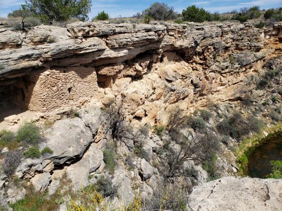
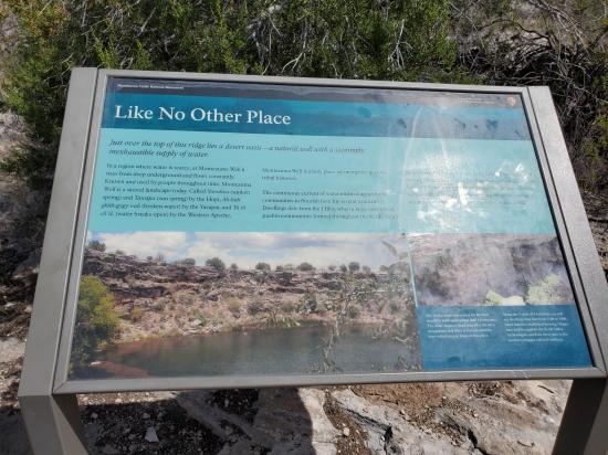
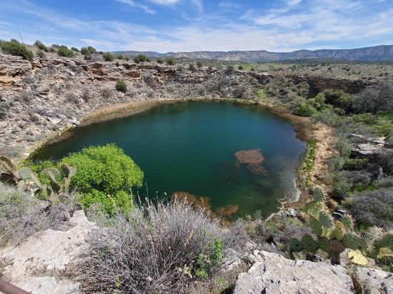
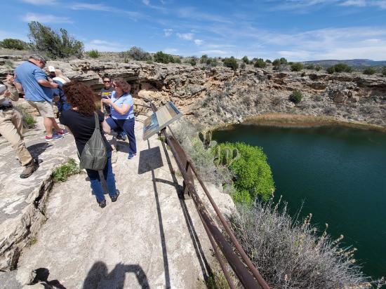
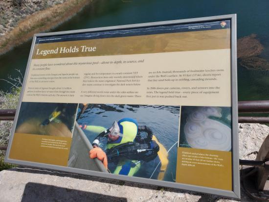
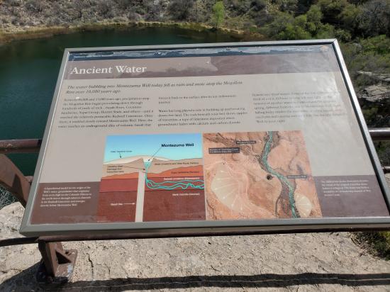
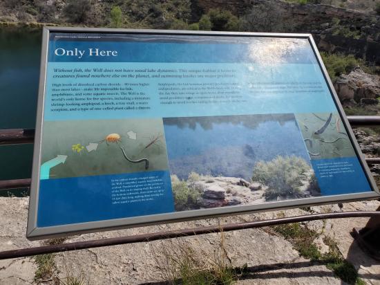
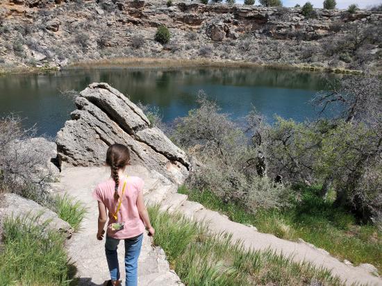
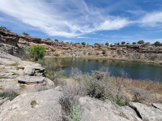
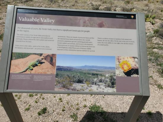
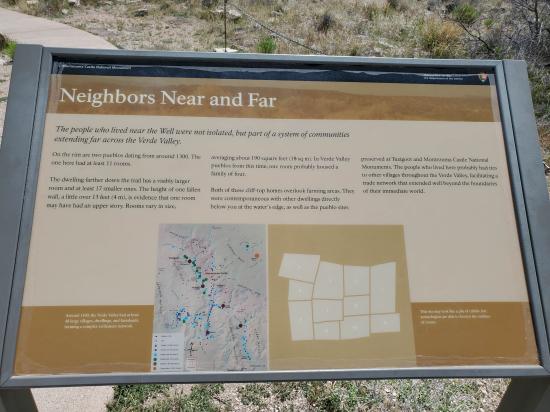
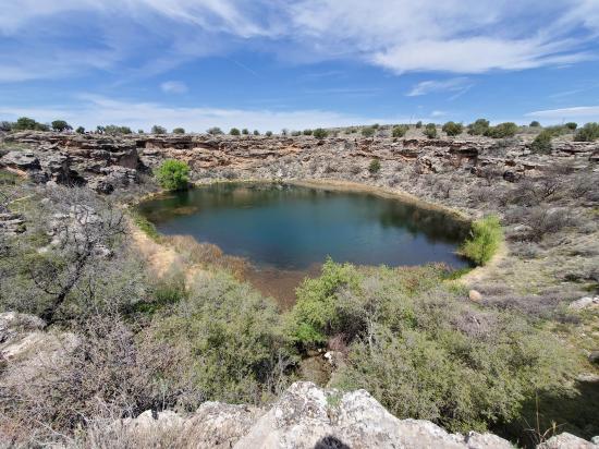
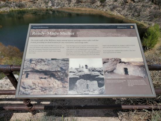
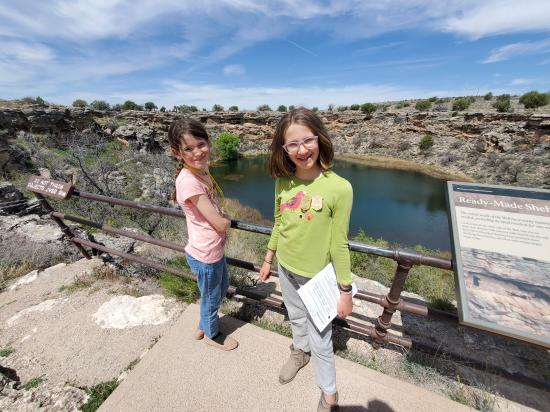
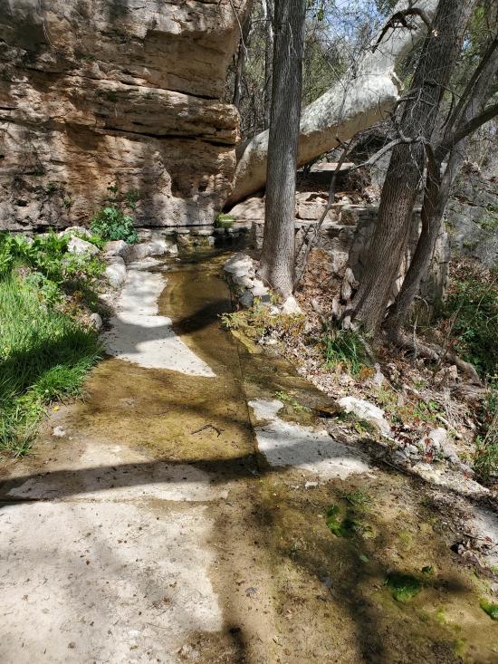
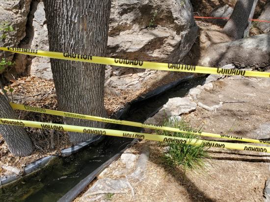
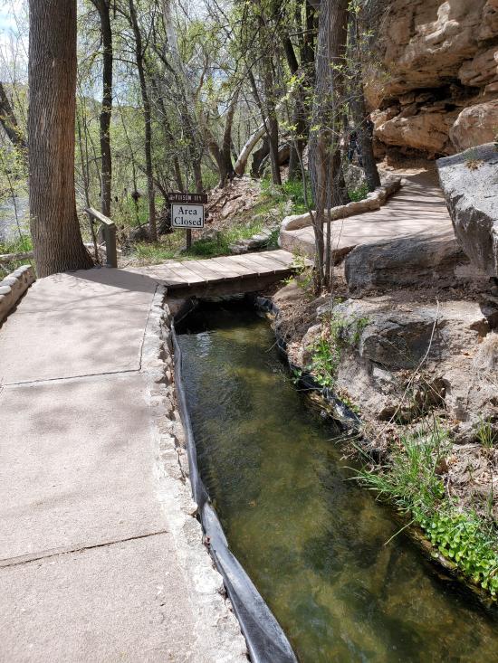
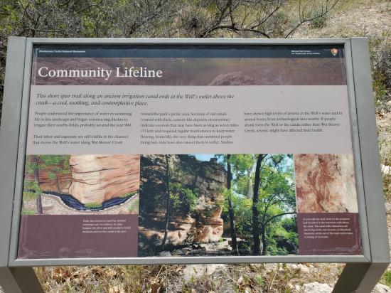
Montezuma Well, a detached unit of Montezuma Castle National Monument, is a natural limestone sinkhole near the town of Lake Montezuma, Arizona, through which some 1.5 million gallons of water emerge each day from an underground spring. It is located about 11 miles northeast of Montezuma Castle. The "well" measures 386 feet in diameter from rim to rim and contains a near-constant volume of spring water even in times of severe drought. Montezuma Well's steady outflow has been used for irrigation since the 8th century. Part of a prehistoric irrigation ditch is preserved near the park's picnic ground, and portions of the ditch's original route are still in use today.
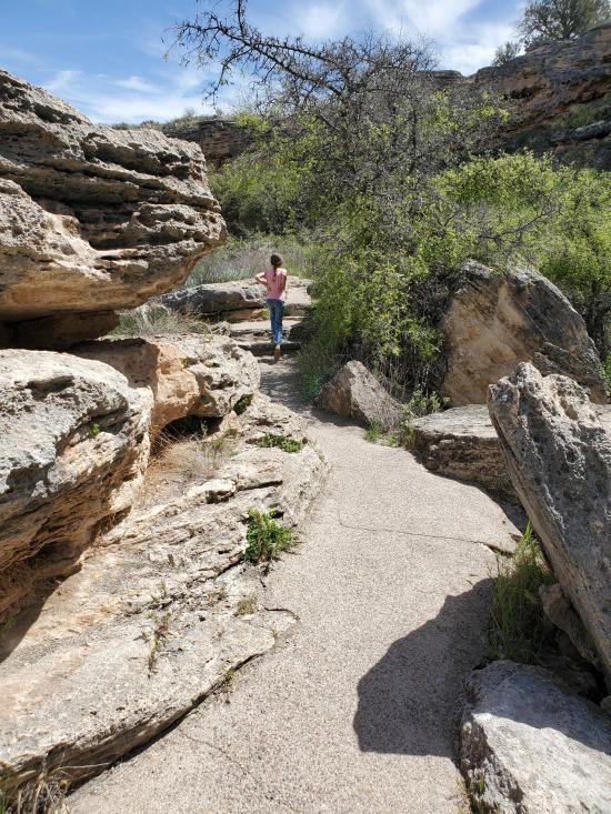
Trail Condition: Class 1 (Trail is either paved or gravel. Navigation skills are not needed because there is only one trail or because there are signs. Elevation gains are gradual or there are stairs.)
Time: 30-60 minutes
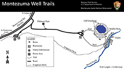
Length: 0.5 mile loop
Elevation Gain: 200 ft
Fees: Park Entrance
Recommended Ages:
 | 0-3 |
 | 4-11 |
 | 12-19 |
 | 20-49 |
 | 50-69 |
 | 70+ |
Recommended Months to Visit:
| Jan |
| Feb |
| Mar |
| Apr |
| May |
| Jun |
| Jul |
| Aug |
| Sep |
| Oct |
| Nov |
| Dec |
Links: https://www.nps.gov/moca/planyourvisit/exploring-montezuma-well.htmhttps://en.wikipedia.org/wiki/Montezuma_Well
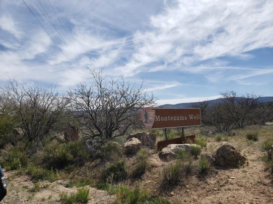
Navigate to 34.648879, -111.754228.
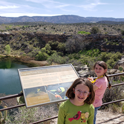
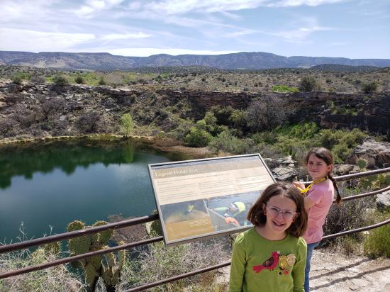
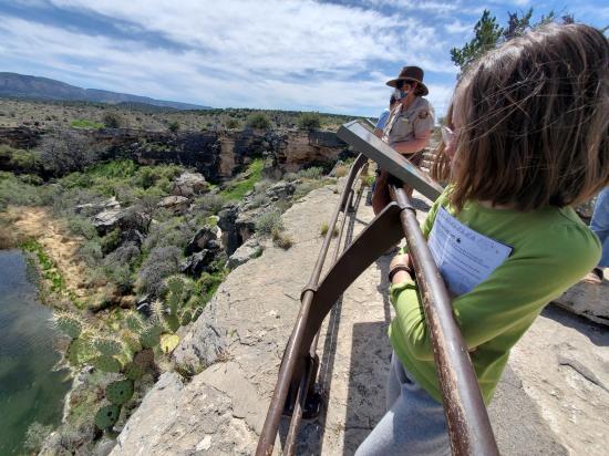
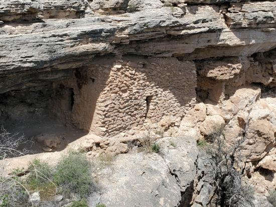
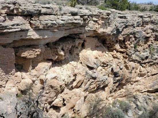
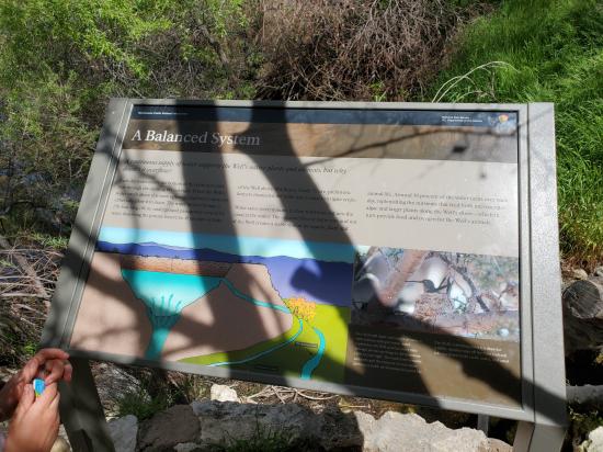
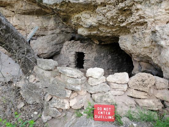
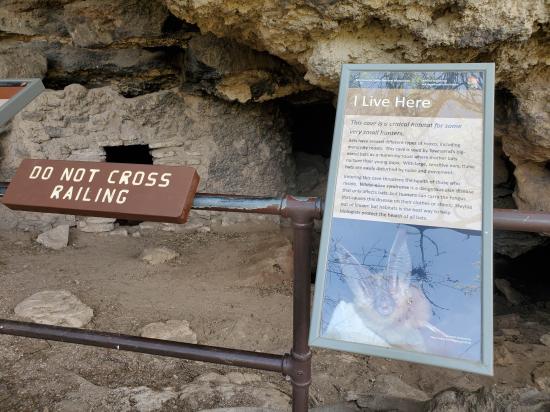
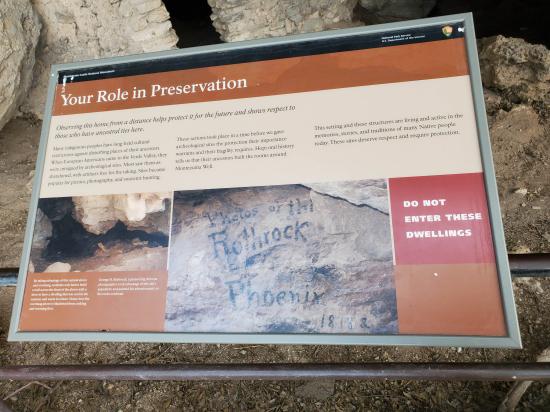
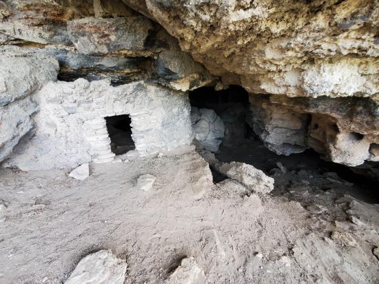
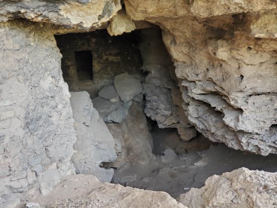
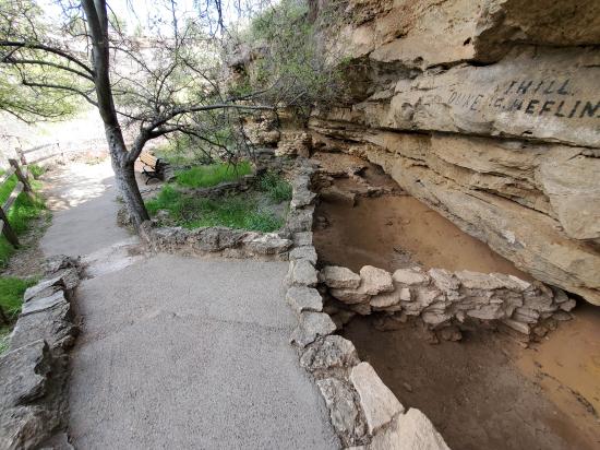
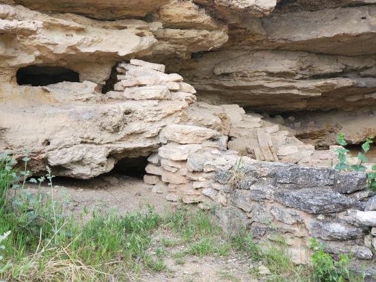
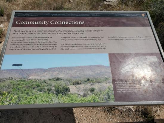
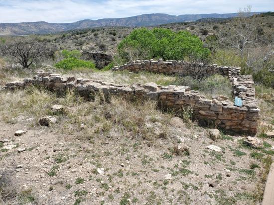
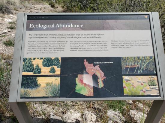
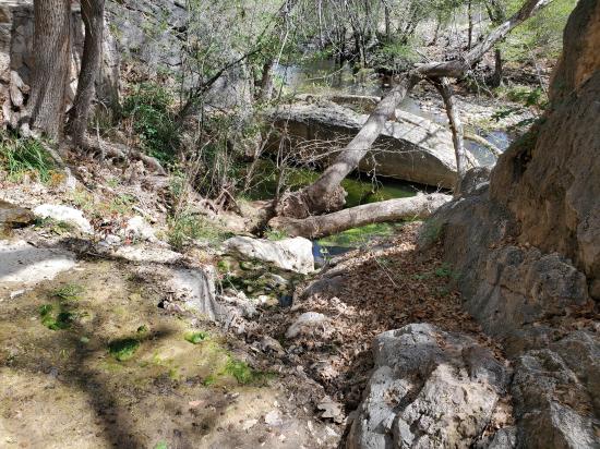
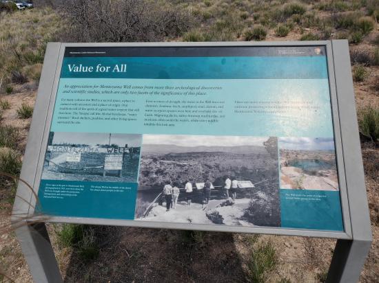
From the parking area, head north on the paved trail adjacent to the little visitor center. At the top of the hill, there are several interpretive signs, and you can see down into the well and see several ruins along the rim. If you're up for a little more strenuous walk, you can hike down to the water's edge and see the impressive Swallet Ruin near the outlet. Back at the top of the hill, you can return the way you came or finish the loop by continueing to hike clockwise, passing 2 more ruins. At the southeast edge of the loop hike, a spur trail takes you to the water outlet and gives a view of the canals.
Closest City or Region: Montezuma Castle National Monument, Arizona
Coordinates: 34.648879, -111.754228
By Jeremy Dye
Jeremy Dye, Tara Dye, Savannah Dye, Madilyn Dye, Cooper Dye,
Start: 12:30
Finish: 1:10
As we were driving from camp to Montezuma Castle, the Parkers' SUV broke down. Tara dropped the kids and me off at Montezuma Castle and went back and picked up the Parker kids so they wouldn't have to be bored while waiting for the tow truck. I worked on the Junior Ranger books with my kids and we walked out to see the castle. Then when Tara got there with the Parker kids, the two us us took a van full of kids over to Montezuma Well. Then Tara went back to Montezuma Castle to fetch the rest of the kids. Tara had seen the sights a few years ago and I never had, so I got to do the hikes with the kids while Tara did most of the shuttling. The kids and I hiked around the well and Tara ended up taking the Parker kids back to their tow truck instead of to the well. We all visited the lower outlet then the pithouse, then we started the long drive home.
 Lee's Ferry Historic District River Trail
 Navajo Bridge Interpretive Center
Red Rock State Park Miller Visitor Center
Red Rock State Park Trail System
 Sunset Crater Volcano National Monument
Sunset Crater Volcano Visitor Center
Call of the Canyon (West Fork Oak Creek) Trail
Walnut Canyon National Monument
 Primitive Camping along Loy Butte Road
Montezuma Castle National Monument
 Structures, Ruins, Dwellings
 Hiking Trails
 Viewpoint, Overlooks, Vistas
 Lakes and Reservoirs
 No Drinking Water
 Marked Trails
 Restrooms - Vault
 Road Access is Paved
 Access Road is 2WD Accessible
 Wildflowers and Vegitation
 Wildlife and Birding