 Hiking | Tuzigoot Pueblo Trail


Hype:
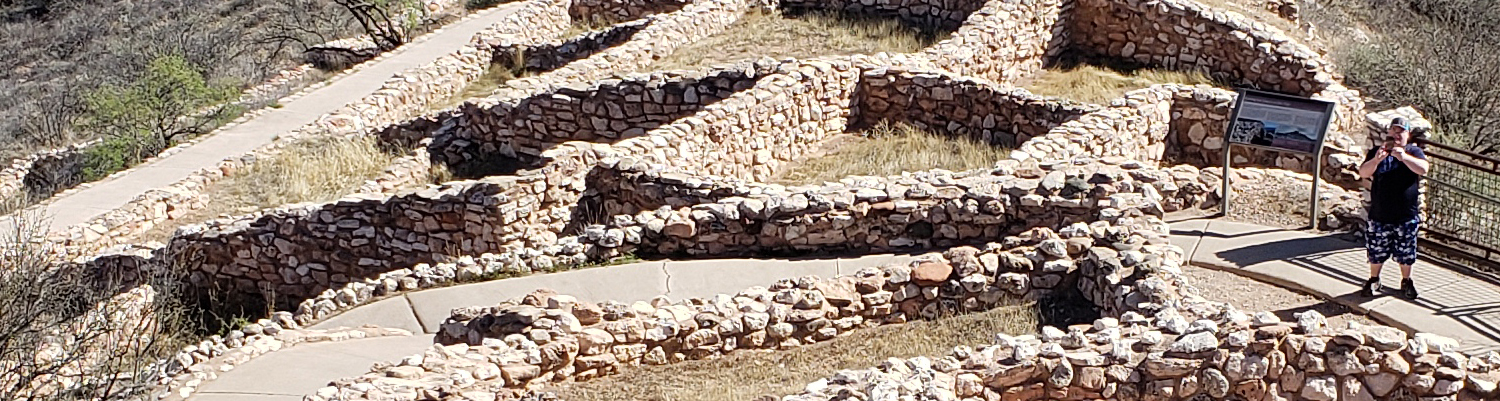
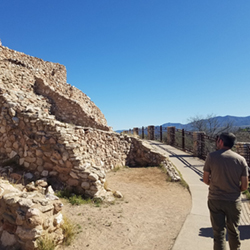
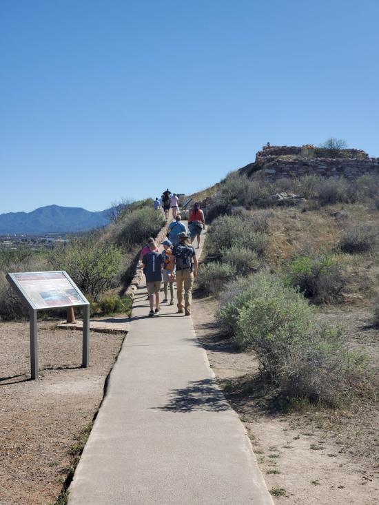
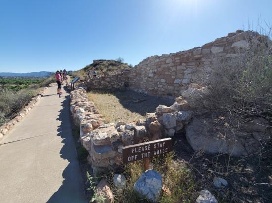
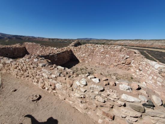
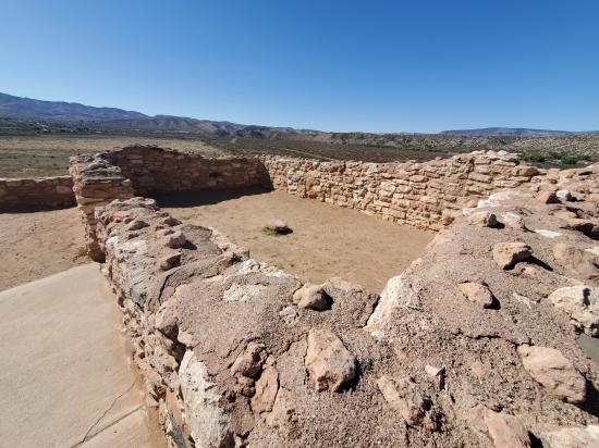
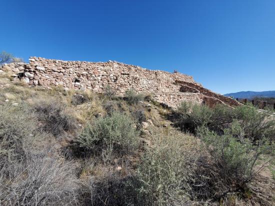
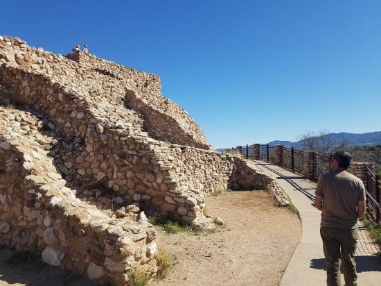
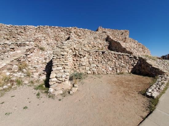
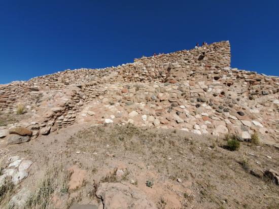
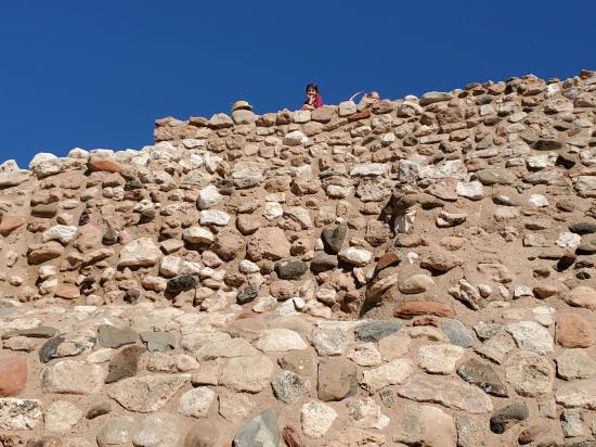
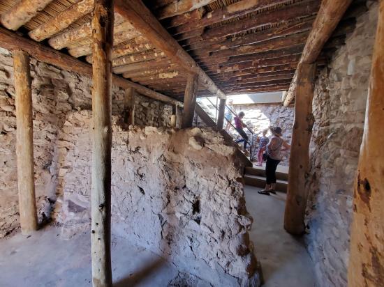
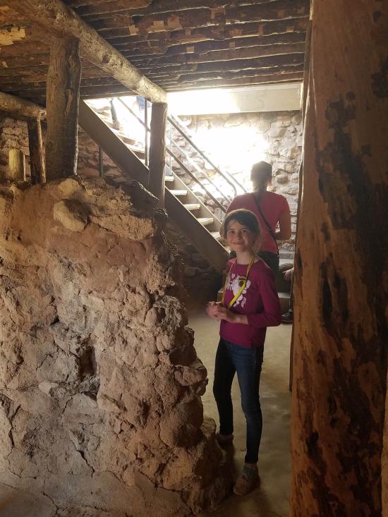
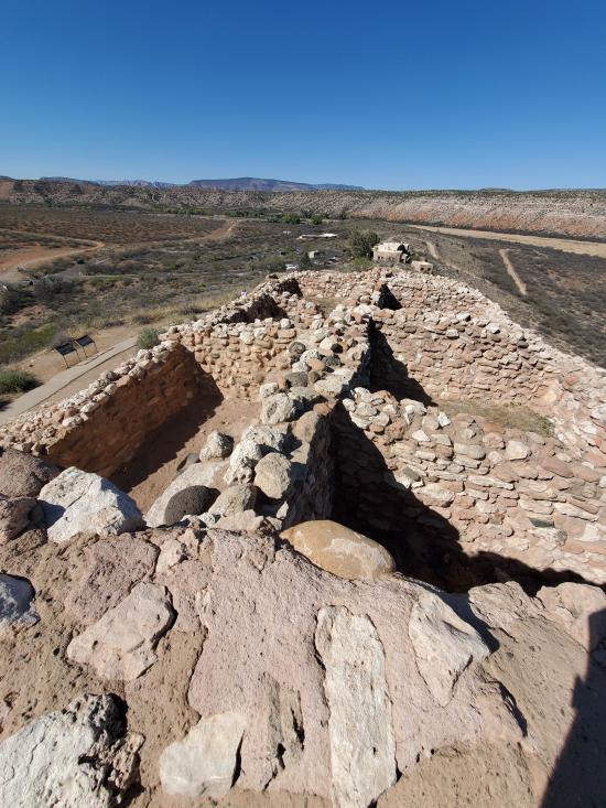
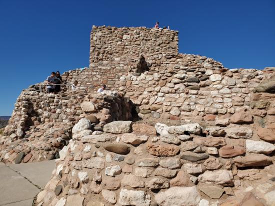
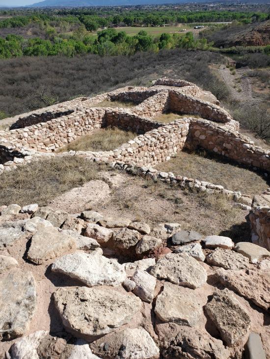
The pueblo trail is paved and mostly accessible, though some sections are steep and accessing the Citadel room requires the use of stairs.
Trail Condition: Class 1 (Trail is either paved or gravel. Navigation skills are not needed because there is only one trail or because there are signs. Elevation gains are gradual or there are stairs.)
Time: 15-30 minutes
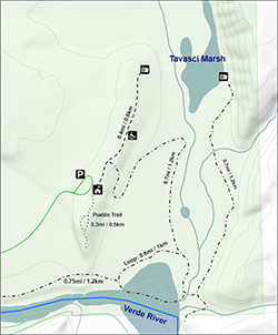
Length: 0.3 mile loop
Elevation Gain: Negligible
Fees: Park Entrance
Recommended Ages:
 | 0-3 |
 | 4-11 |
 | 12-19 |
 | 20-49 |
 | 50-69 |
 | 70+ |
Recommended Months to Visit:
| Jan |
| Feb |
| Mar |
| Apr |
| May |
| Jun |
| Jul |
| Aug |
| Sep |
| Oct |
| Nov |
| Dec |
Navigate to 34.770451, -112.026887.
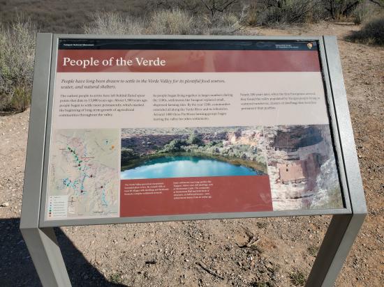
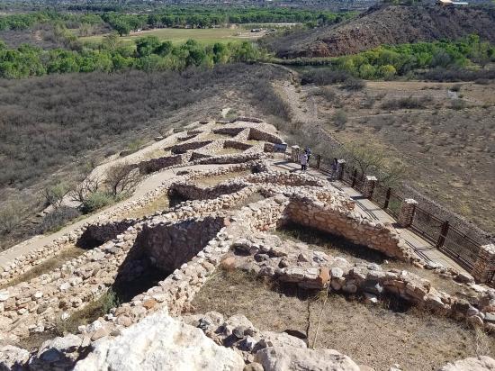
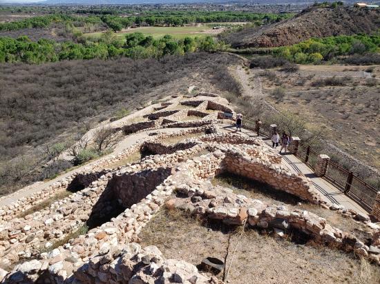
From the visitor center, head south on the paved trail. The trail splits into a loop at the pueblo. Be sure to enter the pueblo where allowed. Return the way you came.
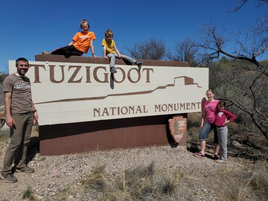
Closest City or Region: Tuzigoot National Monument, Arizona
Coordinates: 34.768796, -112.026740
By Jeremy Dye
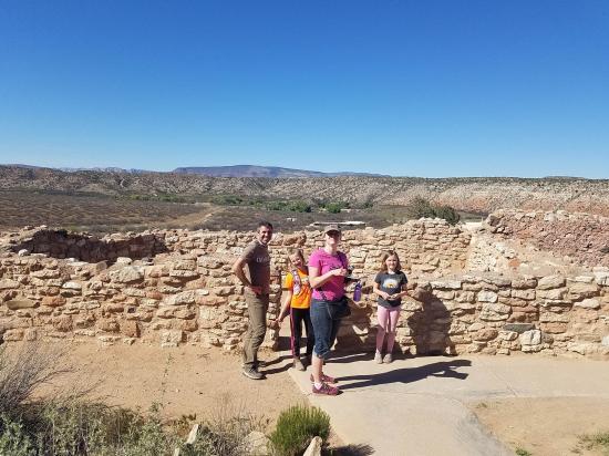
Jeremy Dye, Tara Dye, Savannah Dye, Madilyn Dye, Cooper Dye, Marci Parker, Shawn Parker, Callie Parker, Wade Parker, Aria Parker, Lillian Parker,
Trail Start: 3:15
Trail End: 3:45
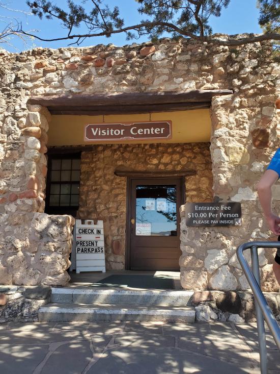
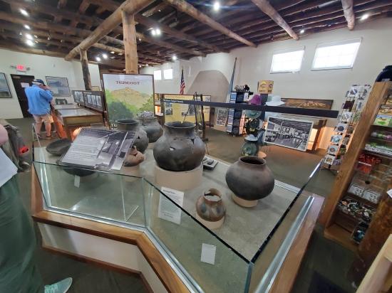
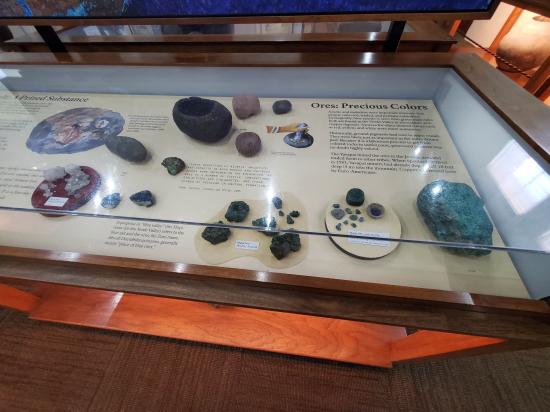
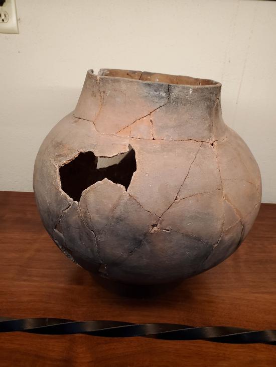
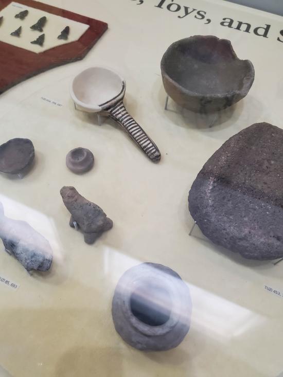
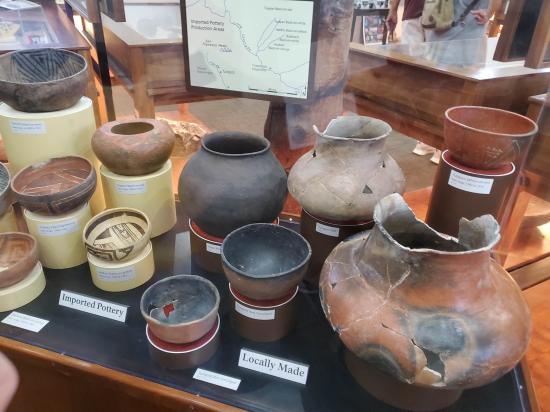
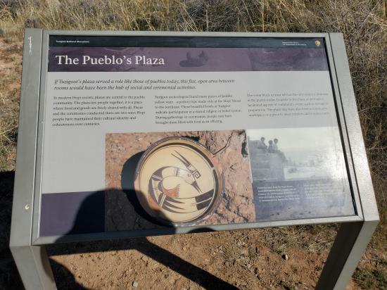
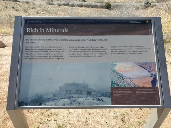
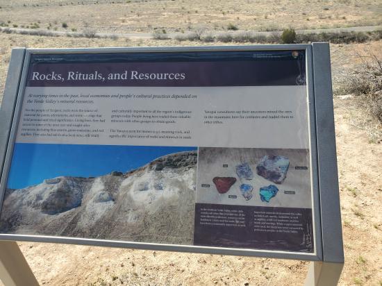
We stopped first at the visitor center and looked at the displays and worked on Junior Ranger badges. Then we walked out to the pueblo. My stomach was bothering me, so I didn't enjoy it as much as the others.


 Lee's Ferry Historic District River Trail
 Navajo Bridge Interpretive Center
Red Rock State Park Miller Visitor Center
Red Rock State Park Trail System
 Sunset Crater Volcano National Monument
Sunset Crater Volcano Visitor Center
Call of the Canyon (West Fork Oak Creek) Trail
Walnut Canyon National Monument
 Primitive Camping along Loy Butte Road
Montezuma Castle National Monument
 Structures, Ruins, Dwellings
 Hiking Trails
 Potable Water
 Marked Trails
 Restrooms - Flush
 Road Access is Paved
 Access Road is 2WD Accessible
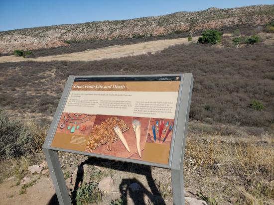
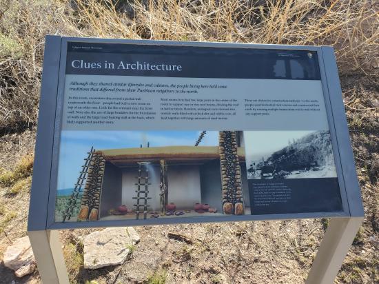
 Interpretive Signs