 Hiking | Fossil Discovery Trail


Hype:
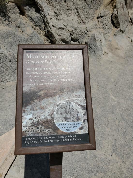
The Fossil Discovery Trail cuts through several tilted rock layers which expose a variety of rocks and three fossil areas. The Morrison Formation stop features an outcropping of several small fossil fragments and a few large pieces of dinosaur bones in their natural state, just as Earl Douglass found them in 1909.
Trail Condition: Class 2 (Trail may have tree roots or rocks jutting out. Navigation skills may consist of following rock cairns and choosing turns at junctions. Elevation gains may be more substantial.)
Time: 45 minutes
Length: 1.2 mile one way
Elevation Gain: 250 ft loss from Quarry to Visitor Center
Fees: None
Recommended Ages:
 | 0-3 |
 | 4-11 |
 | 12-19 |
 | 20-49 |
 | 50-69 |
 | 70+ |
Recommended Months to Visit:
| Jan |
| Feb |
| Mar |
| Apr |
| May |
| Jun |
| Jul |
| Aug |
| Sep |
| Oct |
| Nov |
| Dec |
Links: https://www.nps.gov/dino/planyourvisit/fossildiscoverytrail.htm
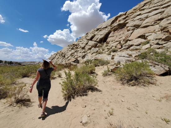
Travel through millions of years of history on the Fossil Discovery Trail. Long ago, dynamic forces pushed and tilted these layers of rock upward. Later, erosion exposed the layers as colorful ridges. Erosion also revealed remnants of ancient ecosystems including now-extinct animals that inhabited landscapes quite different from what we see today. Discover more about several of these ancient ecosystems.
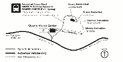
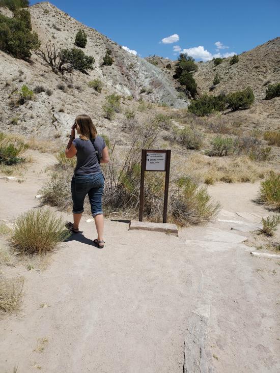
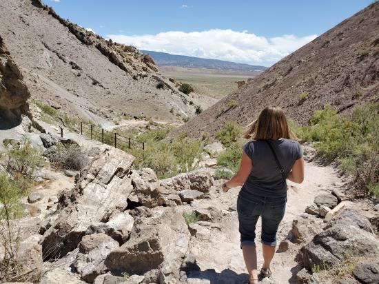
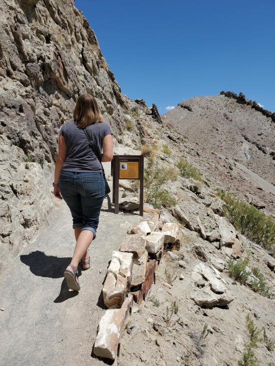
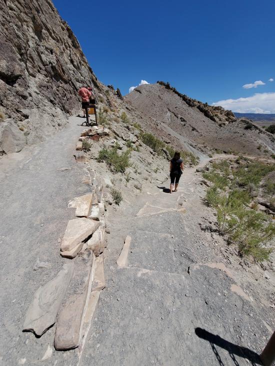
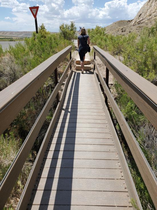
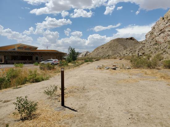
This guide describes the trail as hiked downhill from the Quarry Exhibit Hall to the visitor center. Follow the guardrail down the right side of the road from the exhibit hall parking lot to find the trailhead. (You may also hike uphill from the trailhead located behind the visitor center.) Restrooms and drinking fountains are available during business hours near both trailheads.
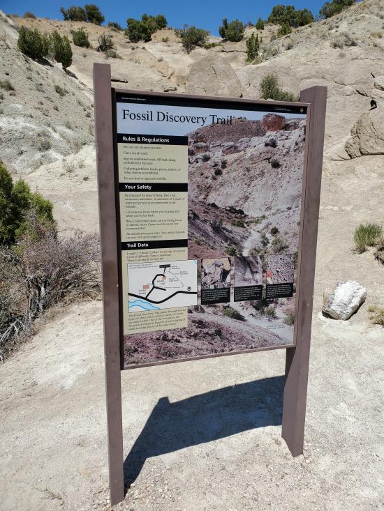
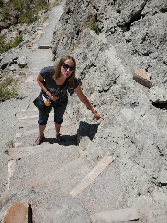
Prepare for this rocky, sun-exposed trail by wearing good hiking shoes and dress for the weather. In summer, that means bringing plenty of water, sunscreen, and a sun hat. The trail is very slippery when wet.
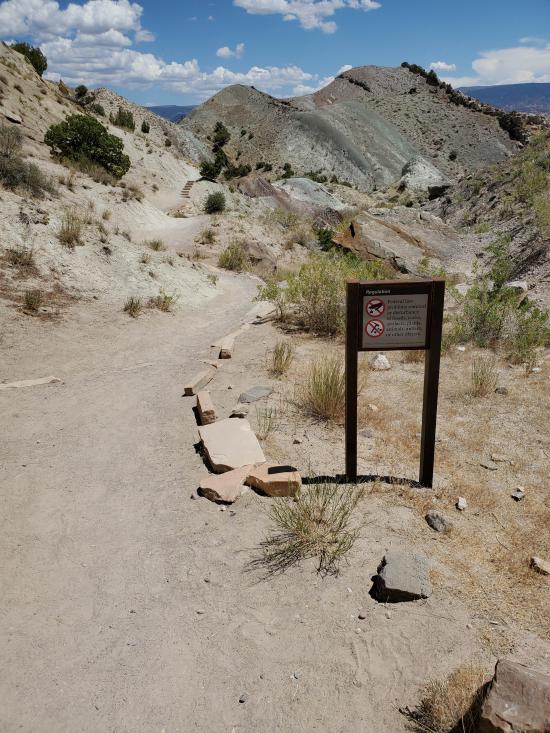
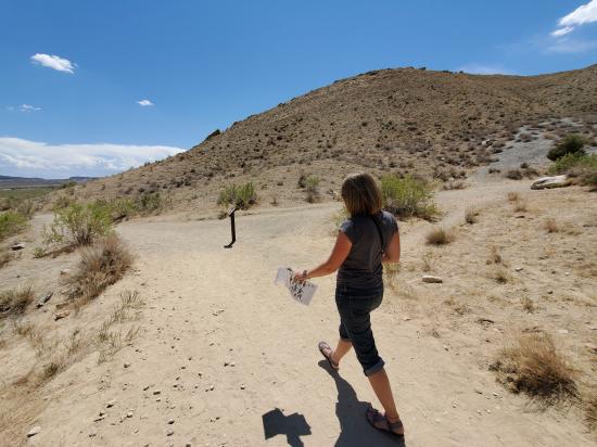
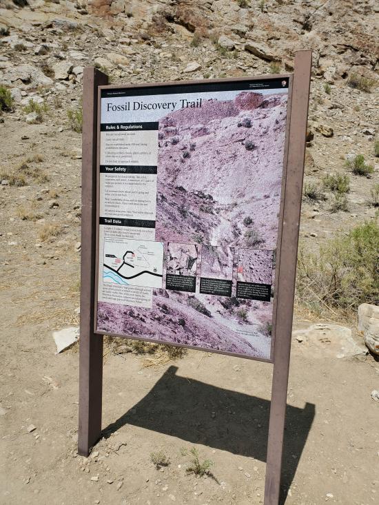
Please stay on the established trail and leave all plants, rocks, and fossils in place for the next hikers to discover.
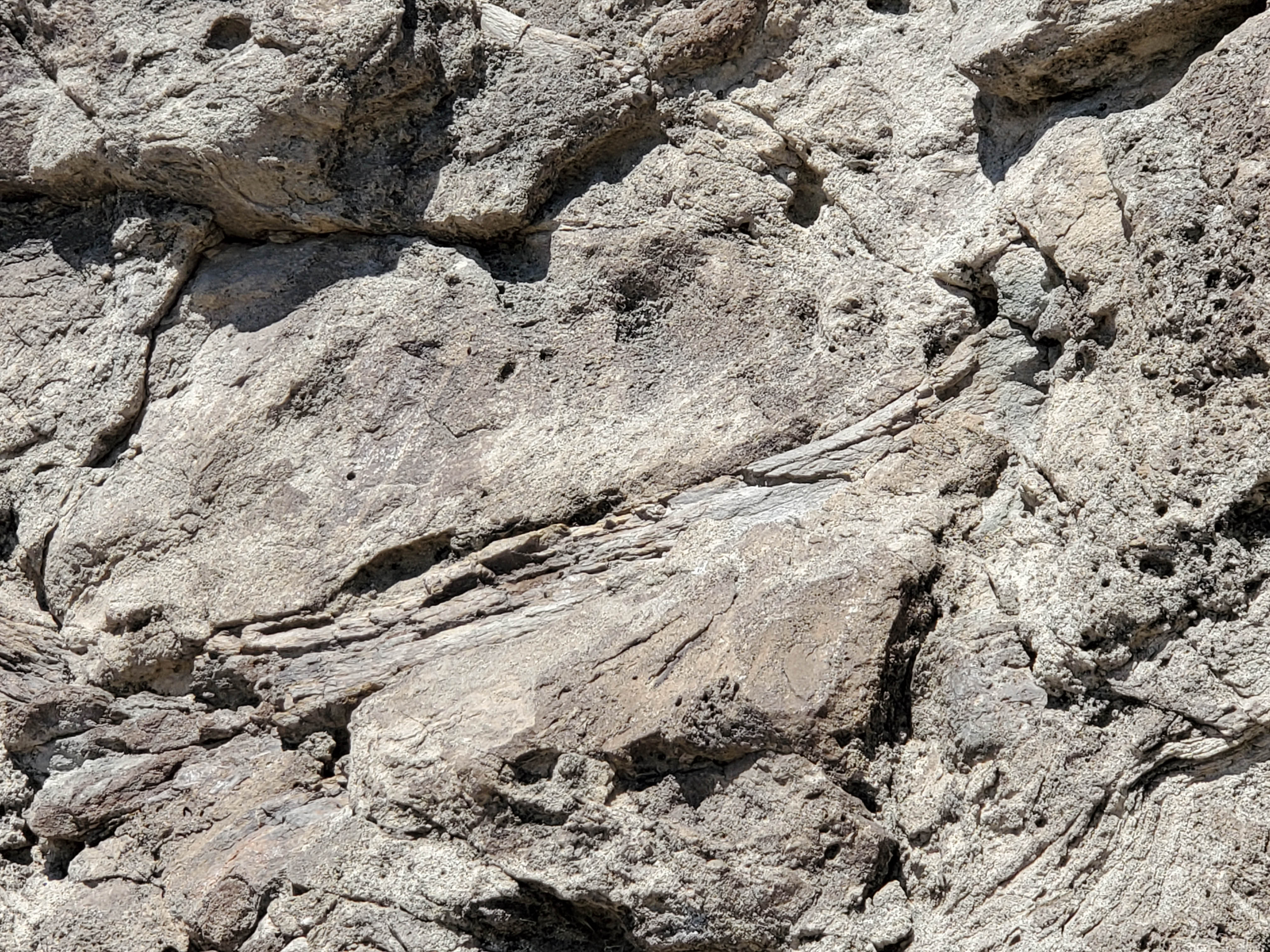
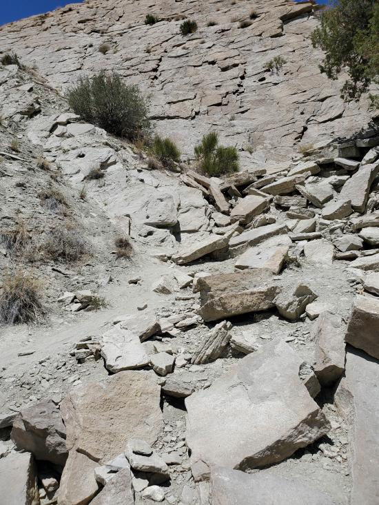
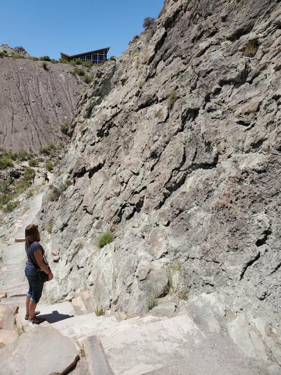
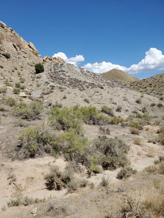
As you begin your hike, take a moment to look at the rock layers that are dramatically uplifted and tilted around you. These were once horizontal layers of sediment that eventually turned into fat-lying sedimentary rock. So how did they end up tilted?
About 60 million years ago, rocks here were pushed up like an arch. Since then, erosion exposed stronger sandstone and limestone as ridges while shale formed softer mounds. Thanks to the tilt, more rock layers are exposed in a shorter, less steep hike.
The same tectonic forces responsible for the uplift of the Uinta and Rocky Mountains caused rocks in this area to wrinkle like a rug pushed across a hard wood floor. The trail travel through the edge of an arch, or anticline, where layers are tilted steeply to the south. On the other side of Split Mountain, the same layers tilt to the north.
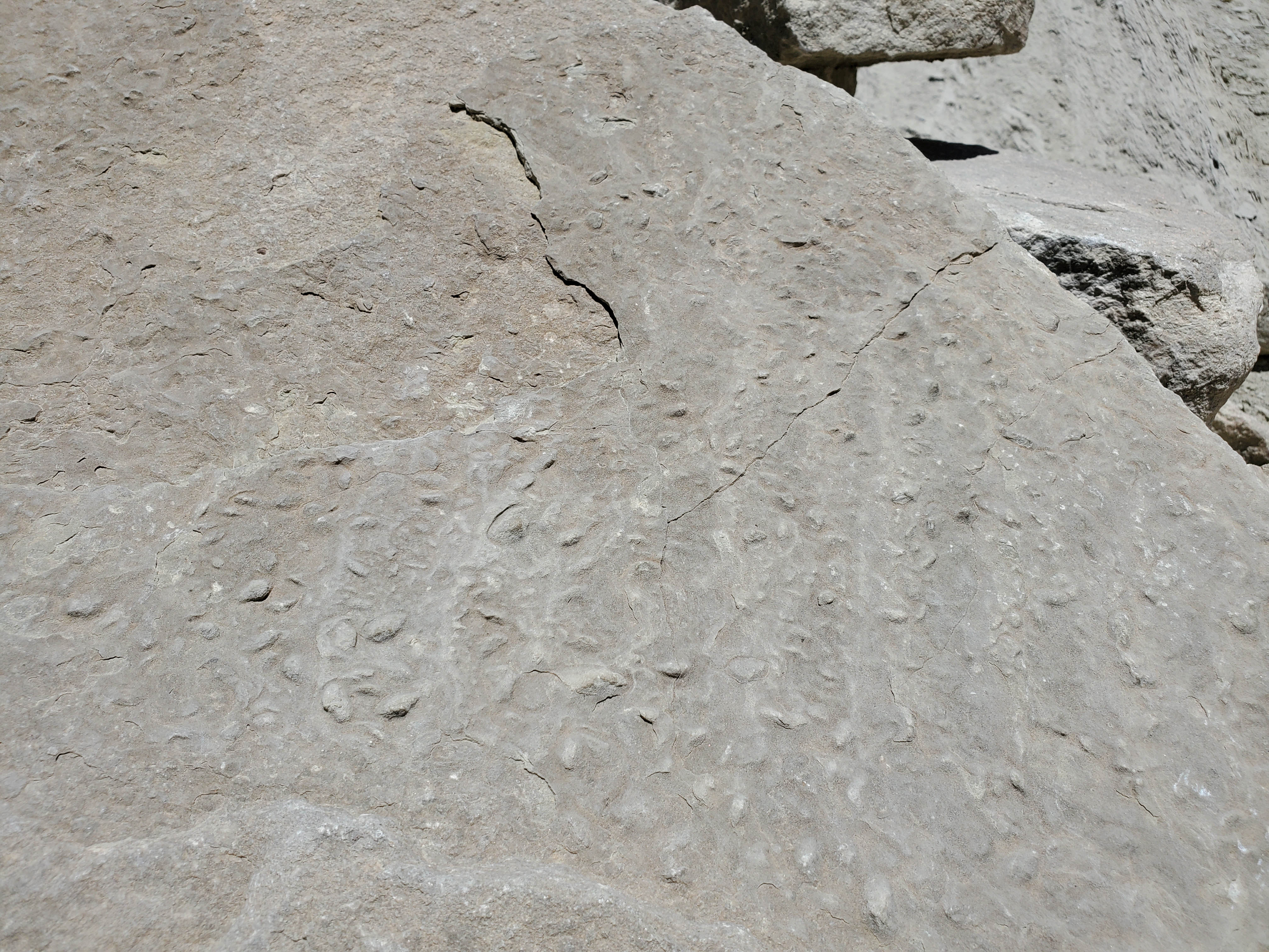
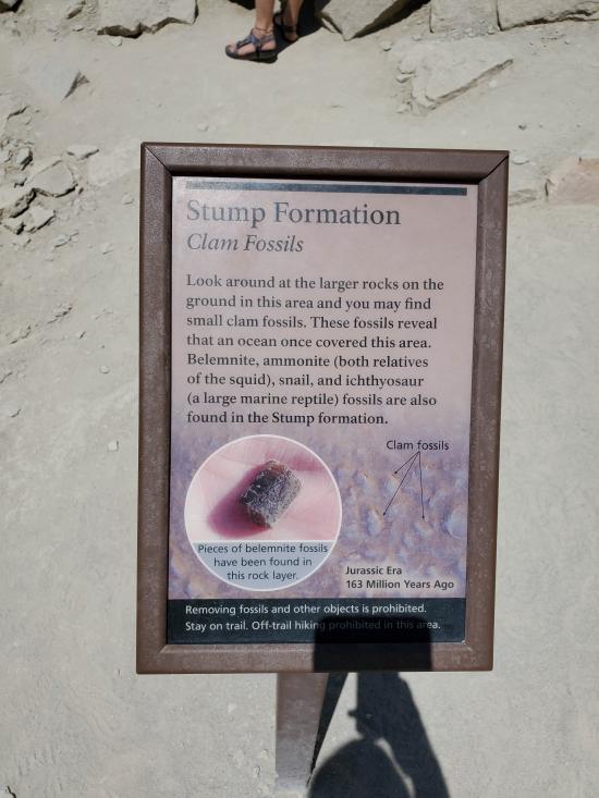
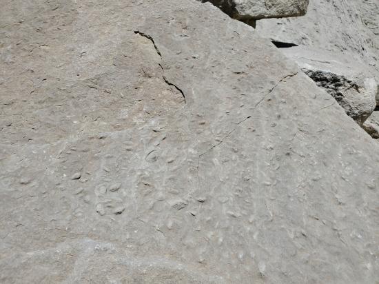
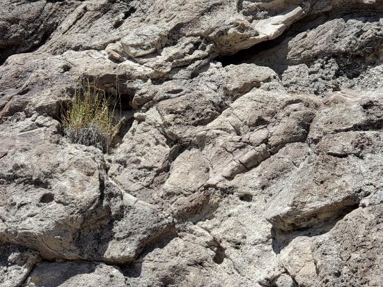
Start your fossil discoveries at the Stump Formation by turning left at the first trail junction. By the end of this trail spur, you will have traveled back to about 163 million years when this area was part of a large inland sea. The Stump Formation reveals evidence of an ocean environment with a large variety of life. Fossils in these rocks include belemnites (squid-like sea creatures), snails, ammonites, and bones of an ichthyosaur (giant marine reptile that resembled a modern dolphin).
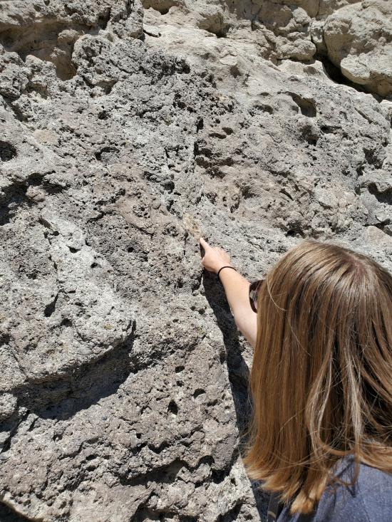
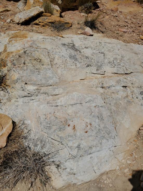
Find and feel many small indentations and bumps on the large rocks on the ground. These are impressions of saltwater clams. To explore a completely different type of environment, retrace your steps to the junction and continue down the main trail.
Despite its name, there are no tree stumps in the Stump Formation. This layer of rock formed from a sea-floor deposit that extended over a vast area beyond the monument. The Stump Formation gets its name for Stump Peak in Colorado where the formation was first researched in depth.
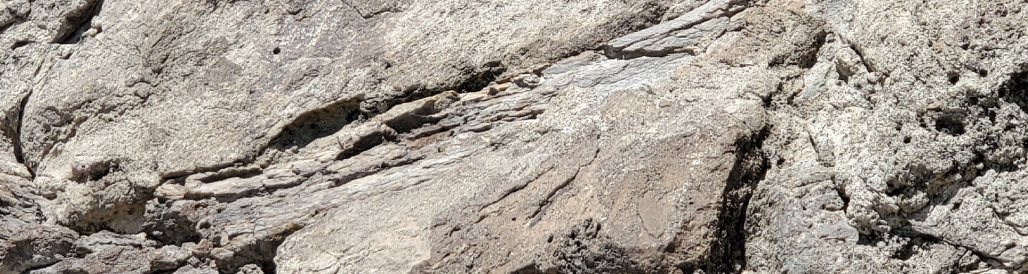
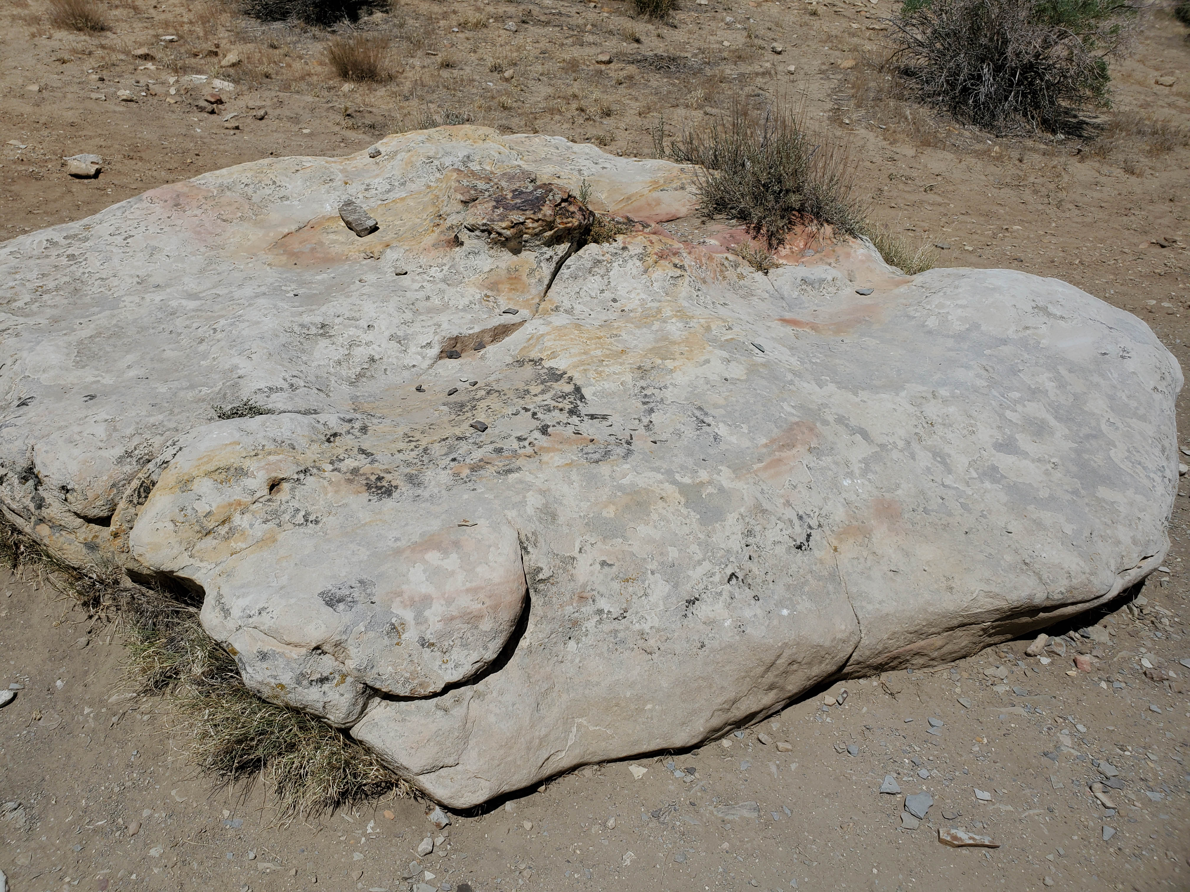
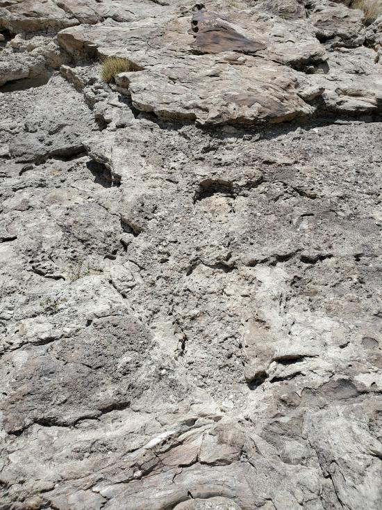
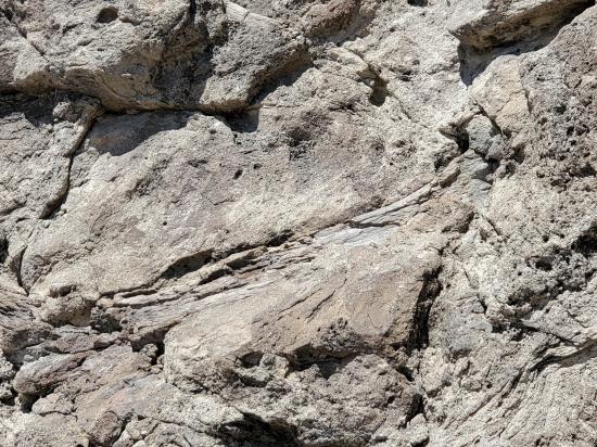
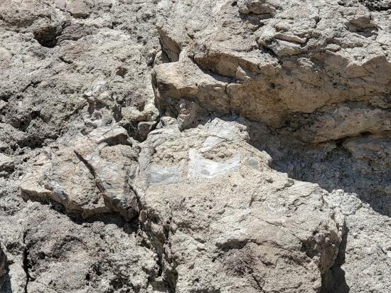
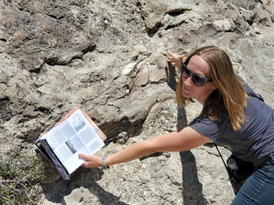
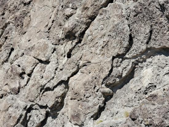
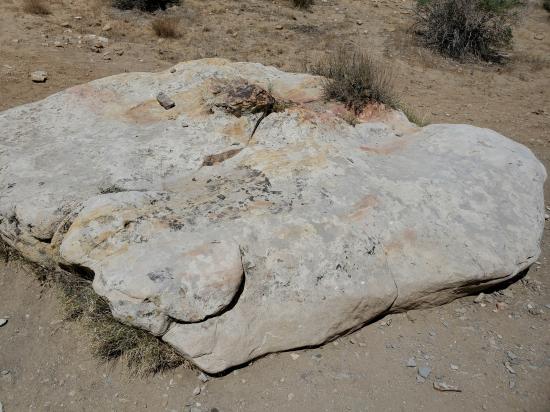
Each step leads you through rock layers with different colors, textures, and fossils. Sometimes these differences are subtle, sometimes striking. Most of the Morrison Formation is mudstone and clay, but watch for the trail spur that hugs a sandstone cliff. This part of the Morrison Formation is made up of river-deposited sand and gravel. Based on potassium-argon dating of volcanic ash, in older and younger layers on either side of the sandstone wall, this layer is estimated to be about 149 million years old. Fossil fragments of dinosaurs are embedded in the cliff along with impressions of freshwater clams.
The Morrison Formation trail spur follows the same sandstone layer that is exposed in the Quarry Exhibit Hall. However, this cliff has not been worked on by paleontologists to make the bones easier to see. The first fossils along the spur are fragments that are somewhat shiny and dark orange in color. Some have a spongy-looking interior which contained bone marrow. Their texture is generally smooth and their size ranges from ½ inch to 10 inches in diameter.
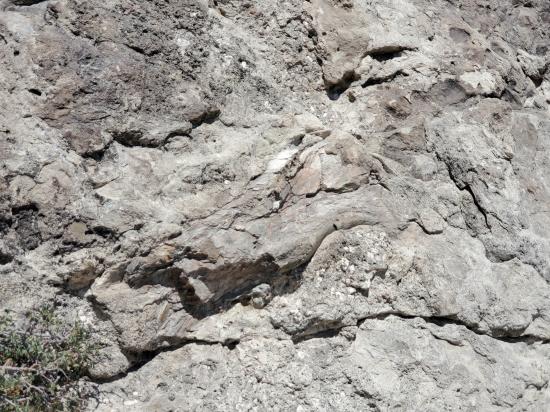
As you hike along the cliff, the quality and size of the fossil bones increase. Just past the mid-point of the spur, the trail dips a few feet. After the dip, look up on the cliff face to see eight vertebrae. Keep hiking and look around waist level for the end of a humerus. Saving the best for last, a large femur rests at the end of the spur. Sharp eyes can find more bones, depending on the angle of the sun.
Ten different species of dinosaurs have been discovered in the Morrison Formation within the monument. They range in size from about seven inches to nearly 100 feet, with some sauropods exceeding 50,000 pounds. New research on non-dinosaur fossils such as small animals, plant remains, pollen, and insect trackways, tells us more about the environment in which these animals lived. Based on this research, scientists believe that about 149 million years ago, the area was semi-arid and warm, with year-round streams. These dinosaurs lived when ferns dominated the plant life, along with conifers, ginkgo trees, tree ferns and horsetail rushes.
When you return to the main trail and turn left, you also return to the mudstone and clay layers of the Morrison Formation. Soon you will leave the Jurassic period and enter the Cretaceous period, marked by a brown sandstone in the Cedar Mountain Formation. Proving that paleontologists still have much left to discover, a new species of sauropod named Abydosaurus was recently found in this formation in the monument.
One of the more accurate ways to determine the age of a geologic layer is to examine the ratio of potassium to argon gasses trapped in crystals of volcanic ash. Unstable potassium turns into argon at a stable rate. By looking at crystals in ash that contain both potassium and argon, the ratio of the two elements gives geologists an estimate of the age of a rock layer.
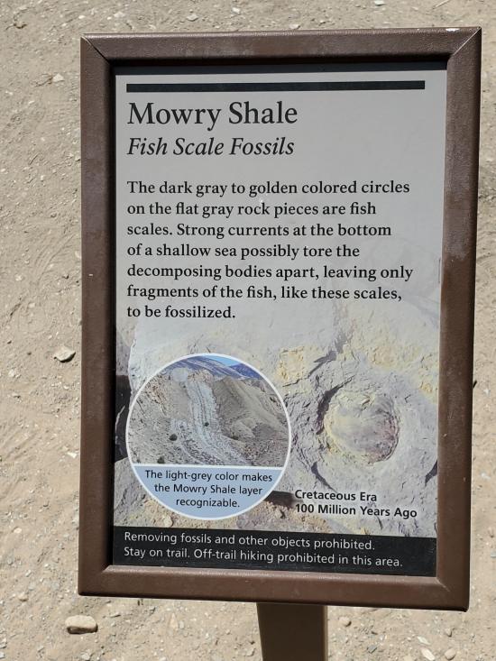
The Mowry Shale is easy to overlook today, despite its fascinating history. Along the coast of an ancient sea, erupting volcanoes (near the present California/Nevada border) spewed ash which fell into the salty waters that covered this area. By studying minerals decaying in the shale, geologists determined that the ash was deposited between 93 and 98 million years ago. The ash likely killed most fish swimming here. Currents at the bottom of the sea then scattered the scales. Look for tiny, shiny gray-to-golden fish scales fossilized in these rocks. Taking the time to discover even the tiniest of fossils can bring ancient ecosystems alive in our imaginations.
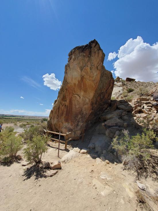
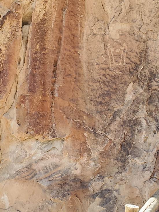
Look for the grayish mound of Mowry Shale between the prominent ridges of the Dakota and Frontier sandstones. The older Dakota Sandstone is a real attention-getter with 100-million-year-old beach sand stained bright orange and yellow by minerals. The younger Frontier Sandstone, formed from 90-million-year-old beach sediments, also proved to be a good canvas for 1000-year-old Fremont rock art.
Closest City or Region: Dinosaur National Monument
Coordinates: 40.441246, -109.301373
By Jeremy Dye
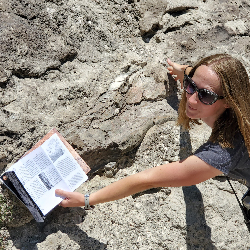
Tara and I hiked down the Fossil Discovery Trail while the others took the shuttle. We probably didn't find all the fossils, but we found quite a few and enjoyed the quick, easy hike.
 Utah Field House of Natural History State Park Museum
 Hiking Trails
 Dinosaur Fossils
 Interpretive Signs
 No Drinking Water
 Mountains
 Marked Trails
 Restrooms - Flush
 Road Access is Paved
 Access Road is 2WD Accessible


