 Hiking | Swelter Shelter Petroglyphs


Hype:
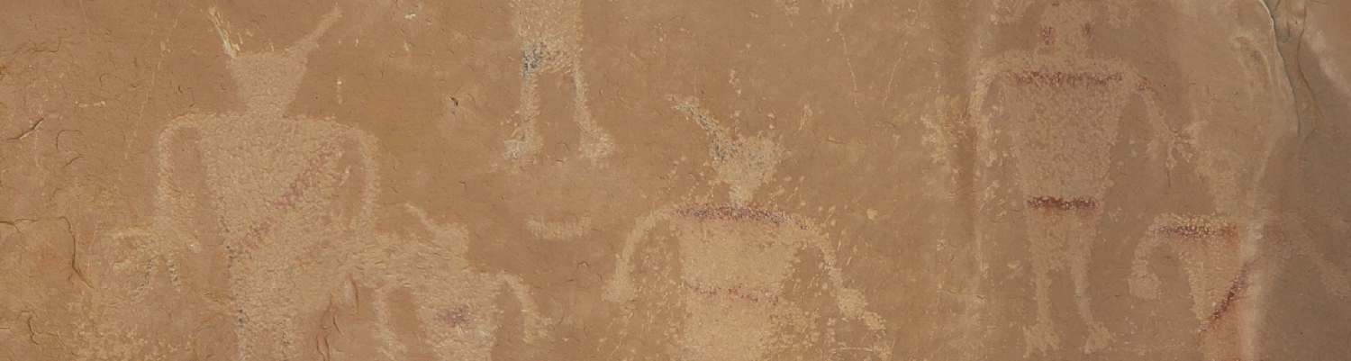
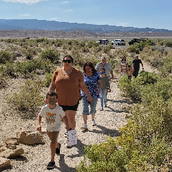
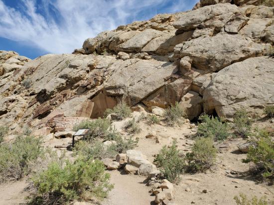
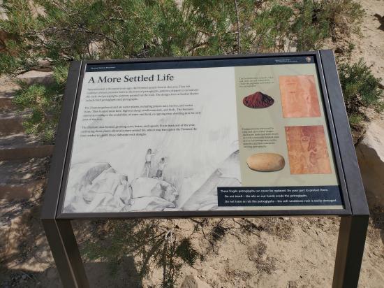
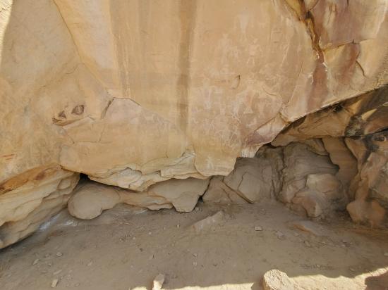
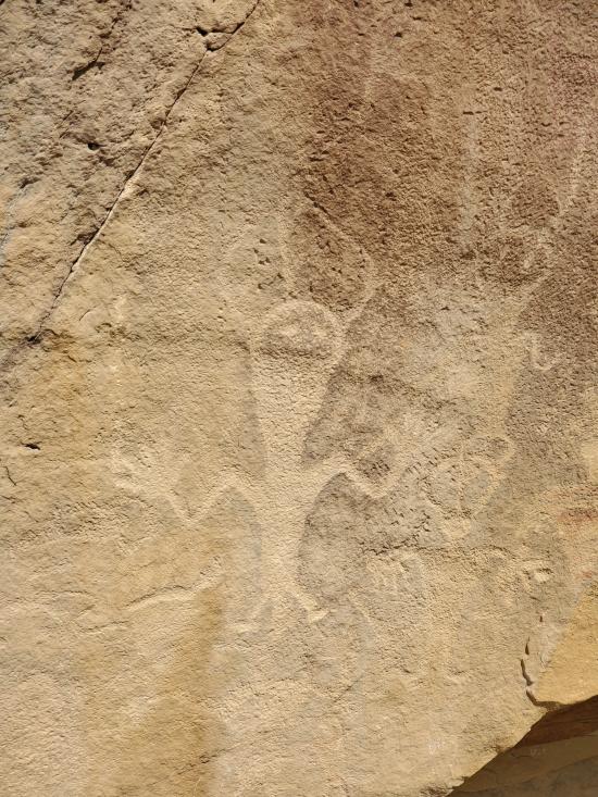
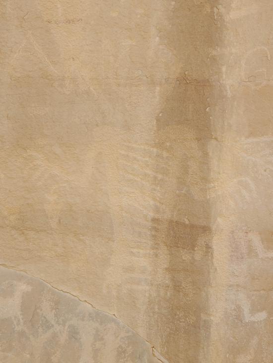
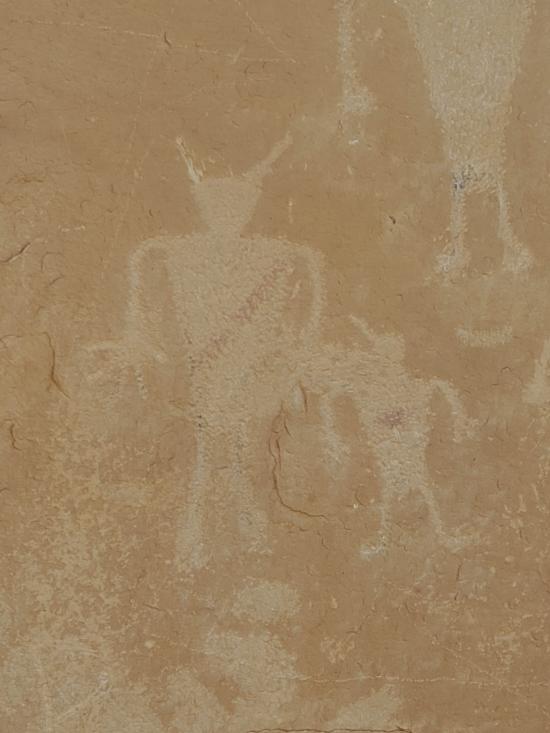
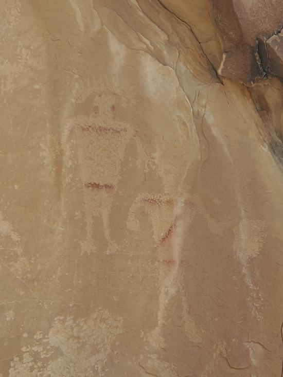
Located approximately 1 mile from the Quarry Visitor Center, the Swelter Shelter site features a variety of both petroglyphs and pictographs, designed by the Fremont Culture. The site is an easy walk, approximately 200 feet from the parking area.
Trail Condition: Class 1 (Trail is either paved or gravel. Navigation skills are not needed because there is only one trail or because there are signs. Elevation gains are gradual or there are stairs.)
Time: 10 minutes
Length: 400 ft round trip
Elevation Gain: Negligible
Fees: Park Entrance
Recommended Ages:
 | 0-3 |
 | 4-11 |
 | 12-19 |
 | 20-49 |
 | 50-69 |
 | 70+ |
Recommended Months to Visit:
| Jan |
| Feb |
| Mar |
| Apr |
| May |
| Jun |
| Jul |
| Aug |
| Sep |
| Oct |
| Nov |
| Dec |
Links: https://www.nps.gov/places/sweltershelterpetroglyphs.htm
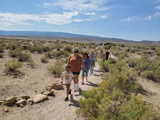
From the trailhead, follow the well-maintained trail northeast for about 200 feet. The Swelter Shelter site is a small alcove in the cliff face. There is an interpretive sign at the site.
Closest City or Region: Dinosaur National Monument
Coordinates: 40.437492, -109.292588
By Jeremy Dye
Jeremy Dye, Tara Dye, Savannah Dye, Madilyn Dye, Cooper Dye, Greg Dye, Laura Dye, Anthony Dye, Arianne Dye, Miller Dye, Ondylyn Wagner, Jaren Wagner, Killian Wagner,
We all took a quick walk up to the Swelter Shelter petroglyphs. People were still fresh, and it was nice out.


 Utah Field House of Natural History State Park Museum
 Petroglyphs and Pictographs
 Hiking Trails
 No Drinking Water
 Marked Trails
 No Restrooms
 Road Access is Paved
 Access Road is 2WD Accessible
 Interpretive Signs


