 Hiking | McConkie Ranch Petroglyphs


Hype:
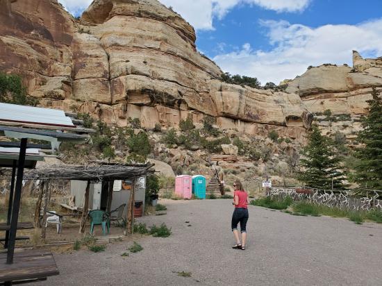
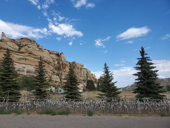
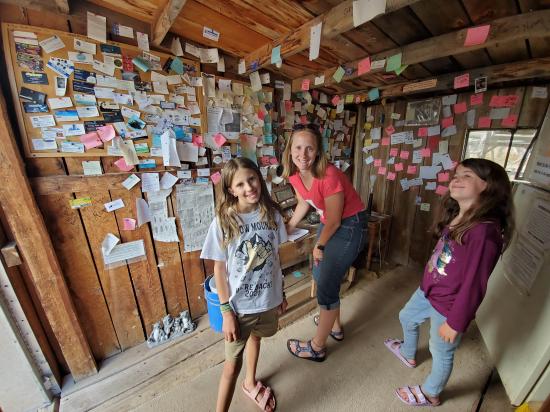
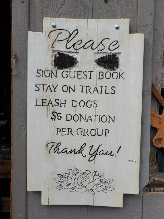
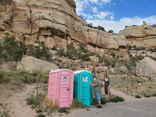
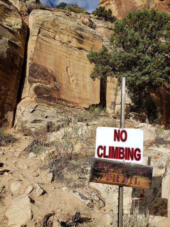
McConkie Ranch is private property, but the family feels the site is so important that they have decided to leave it open to the public. During the summer months, the county moves porta potties into the parking lot, but the rest of the year there are no rest rooms, so you will need to plan accordingly. Make sure you take some water. Please respect the privacy of the family and observe the signed trails and stay away from those homes that do not want visitors. The trails are a little crude, but the visitor center is a treat. Make sure you sign in, leave a small donation, and look at the map of the ranch. If you see Jean, make sure you thank her for letting the public visit this wonderful place.
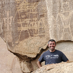
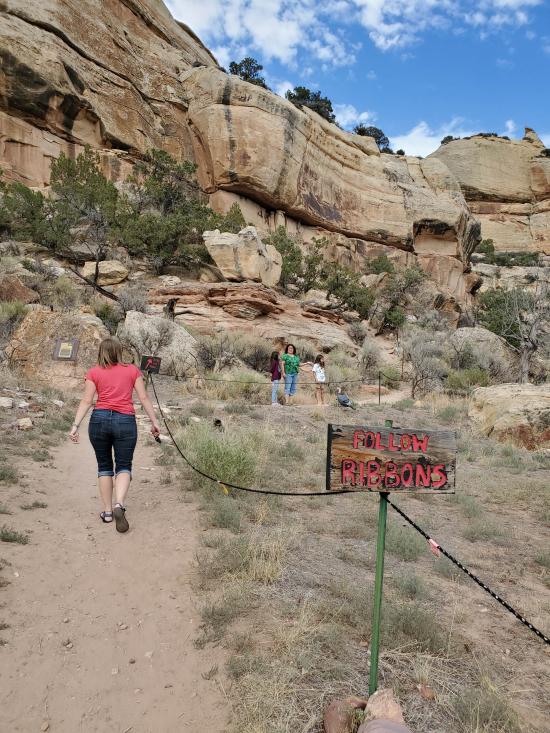
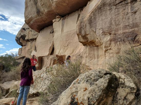
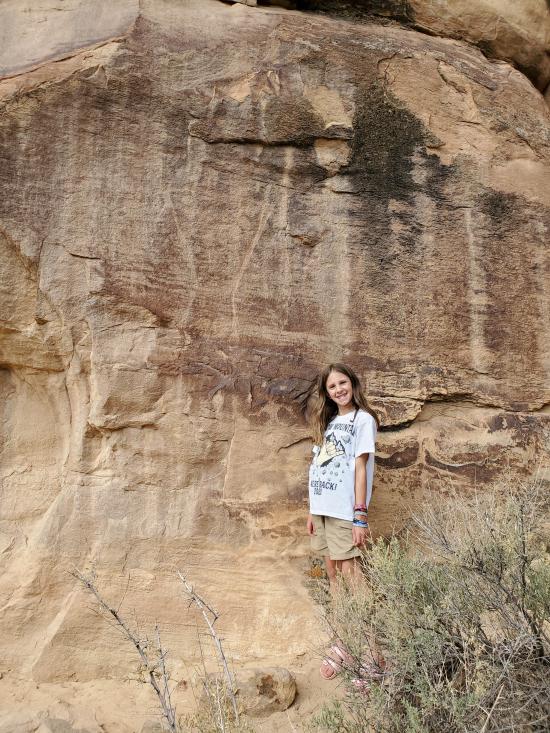
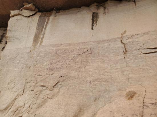
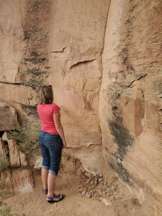
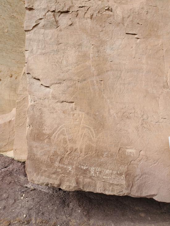
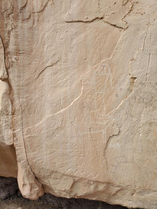
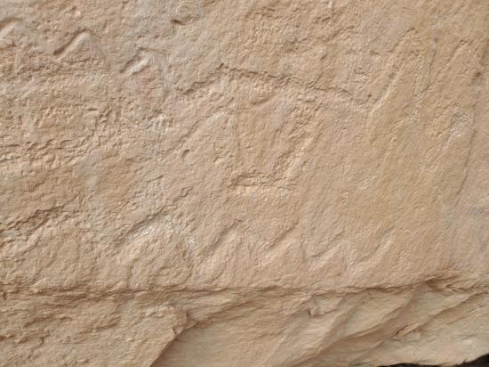
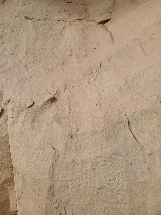
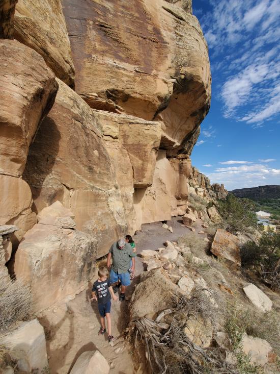
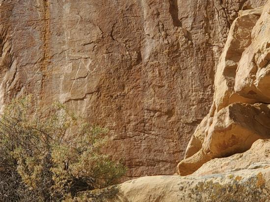
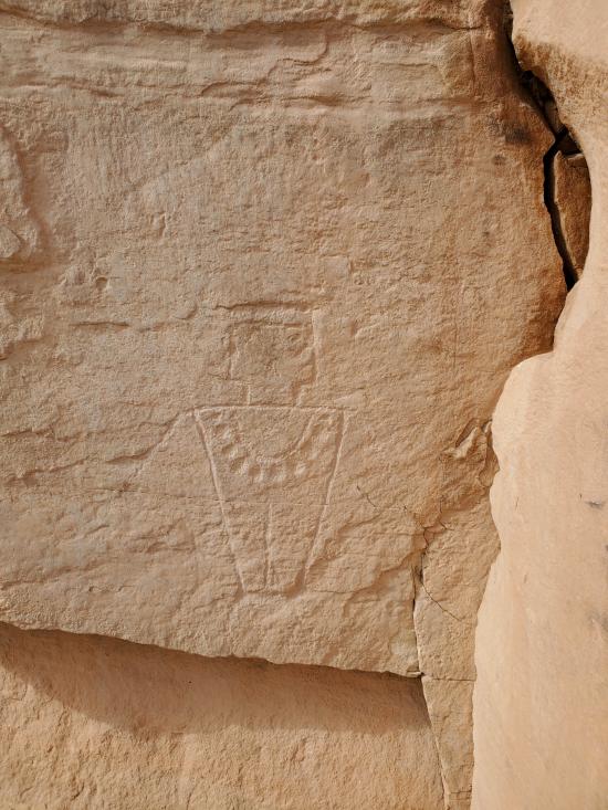
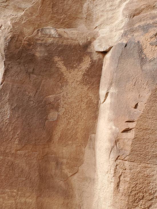
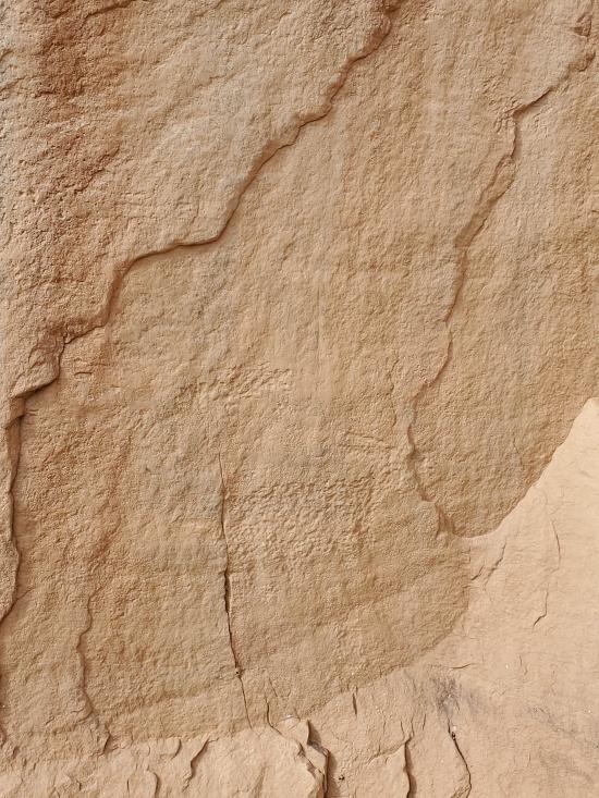
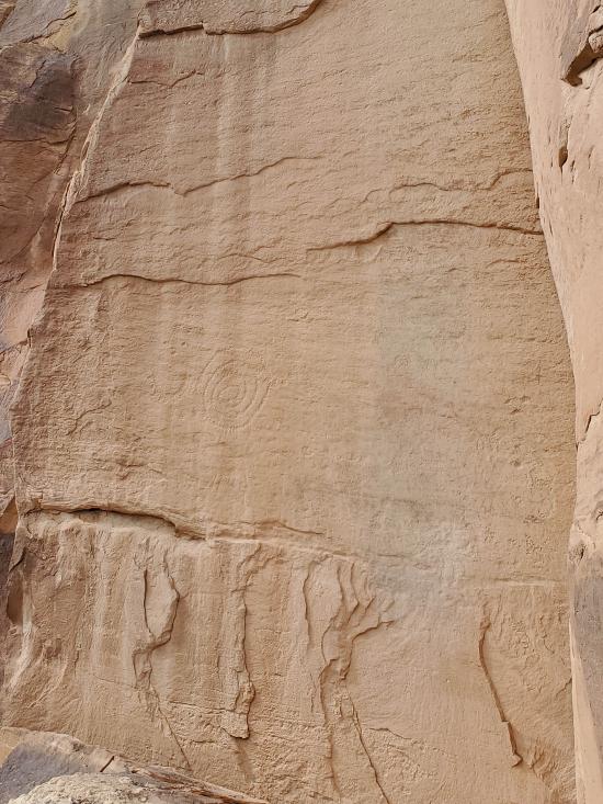
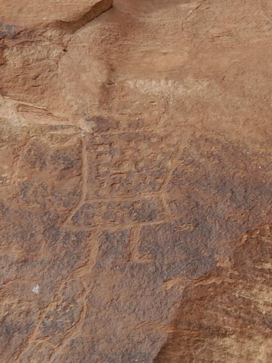
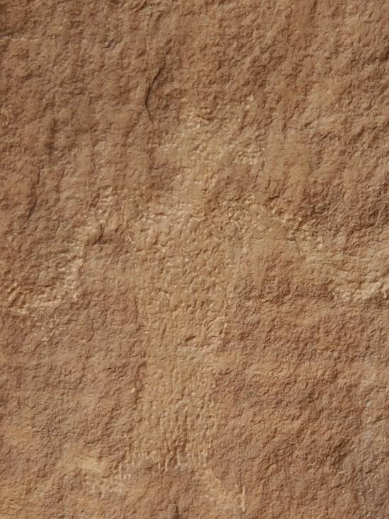
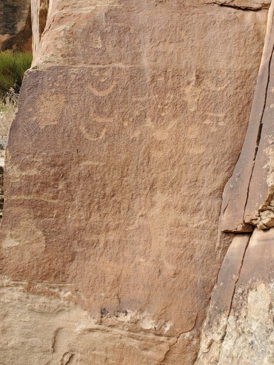
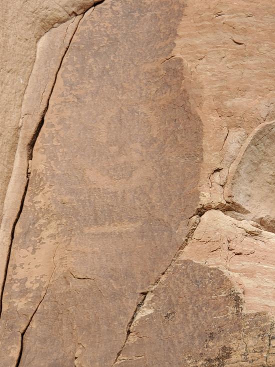
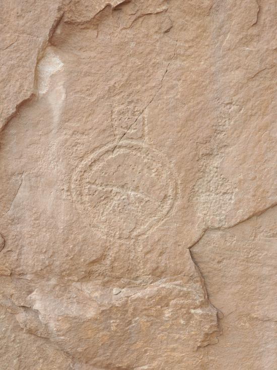
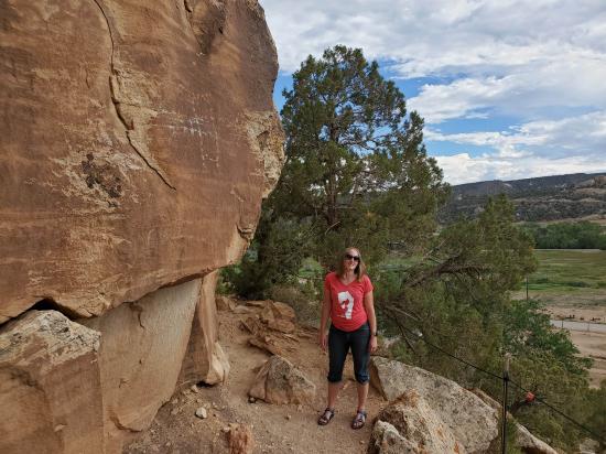
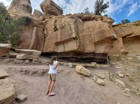
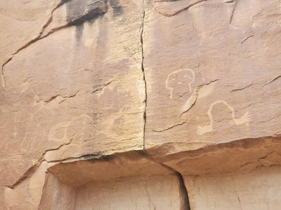
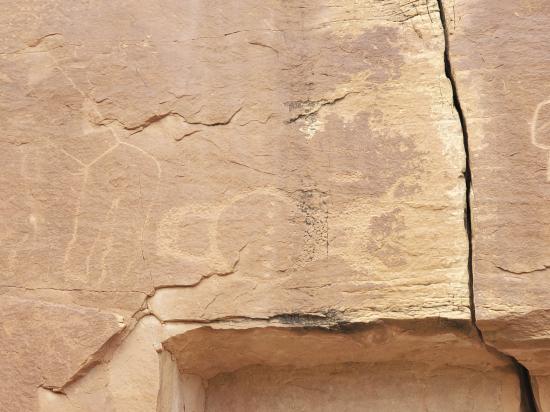
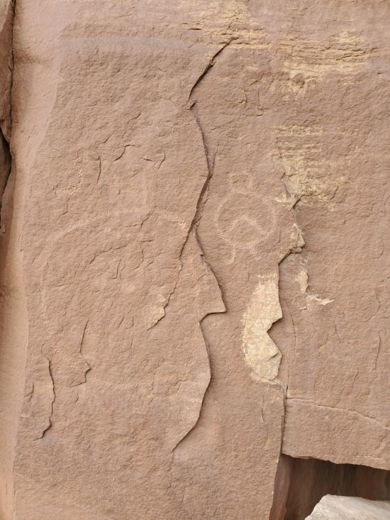
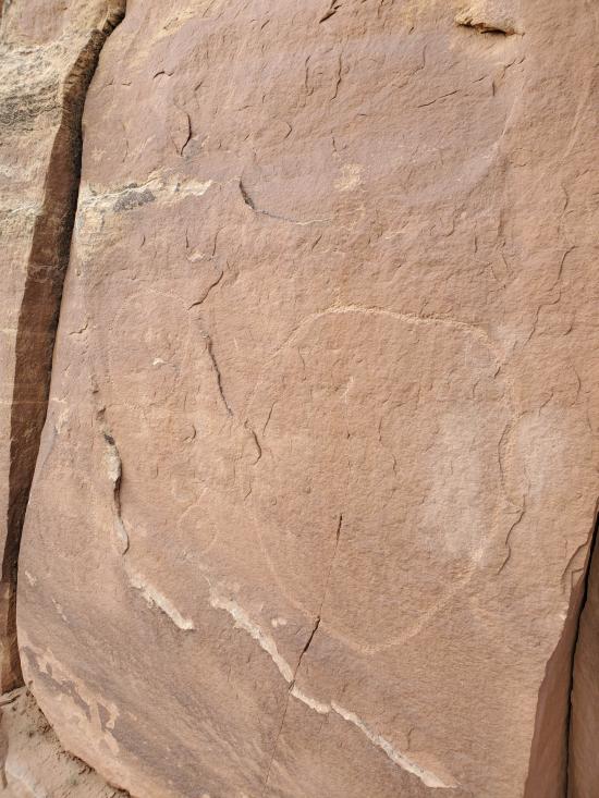
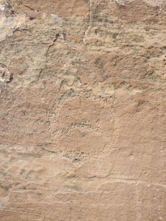
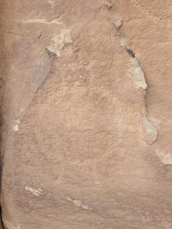
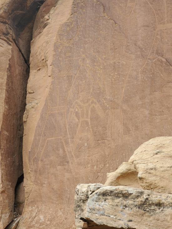
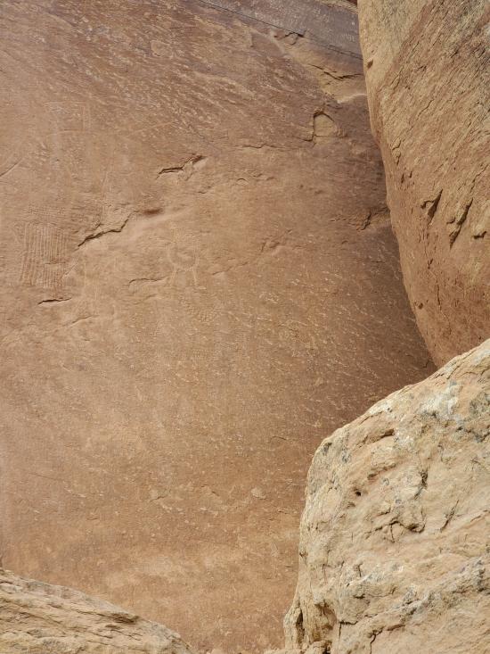
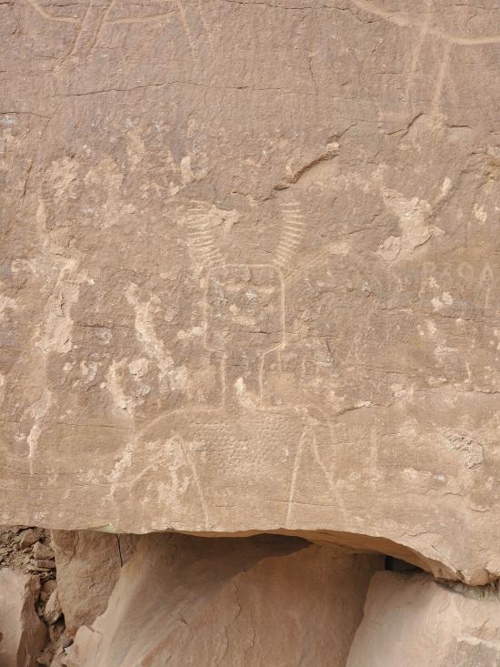
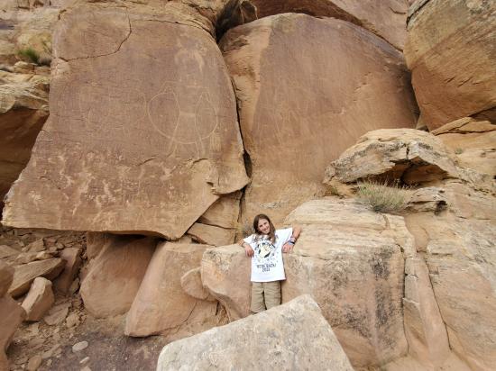
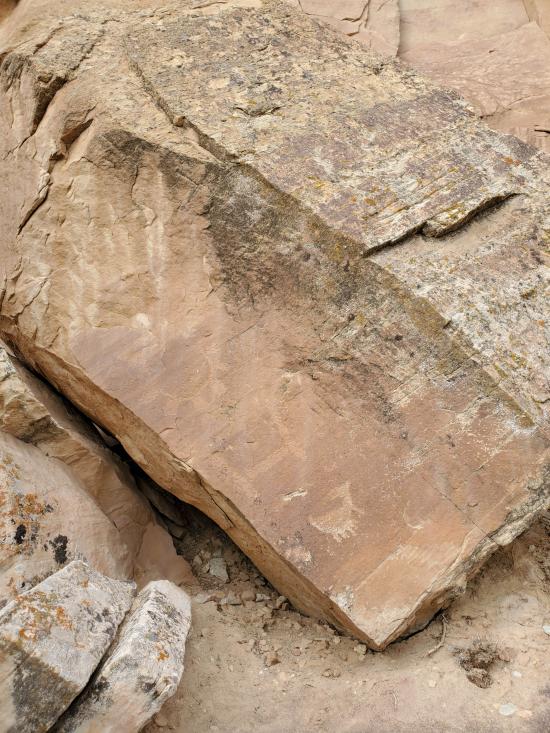
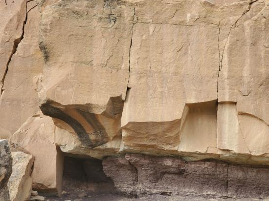
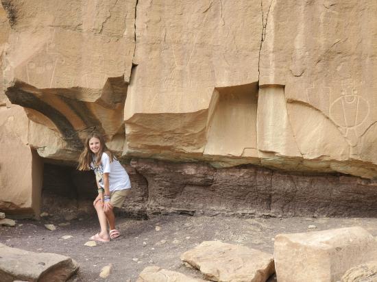
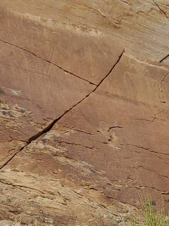
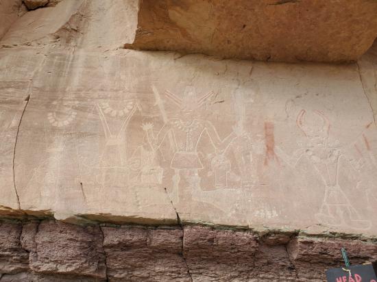
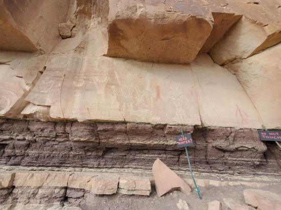
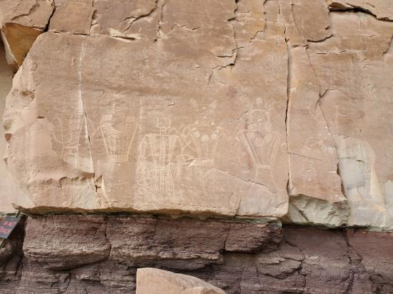
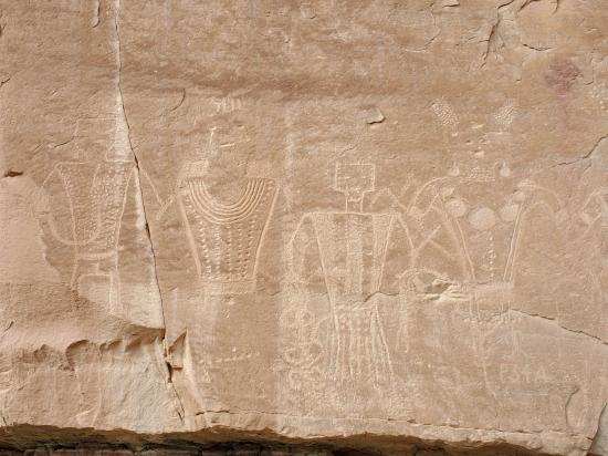
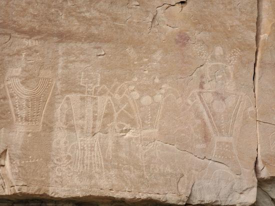
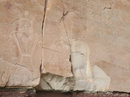
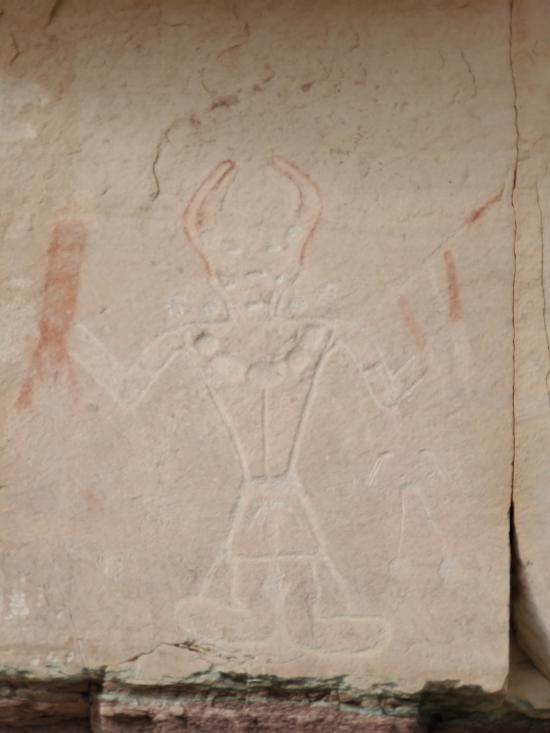
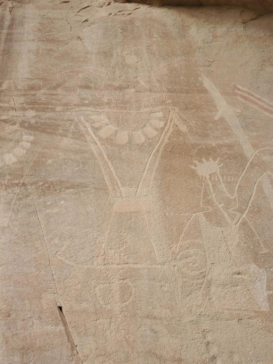
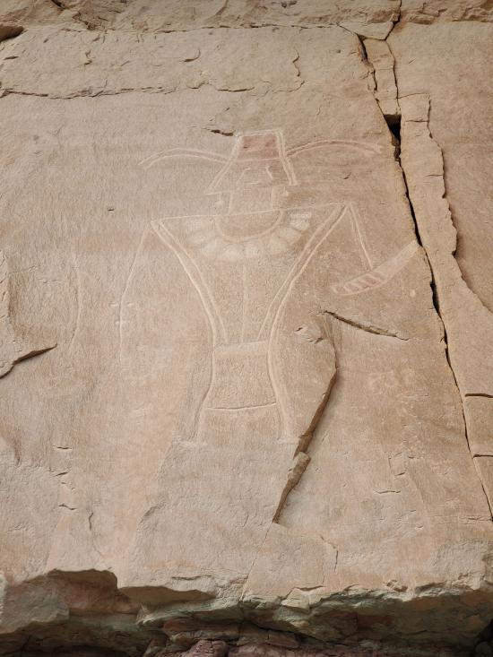
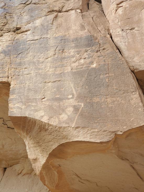
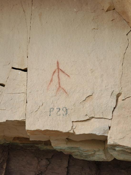
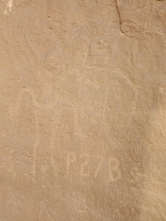
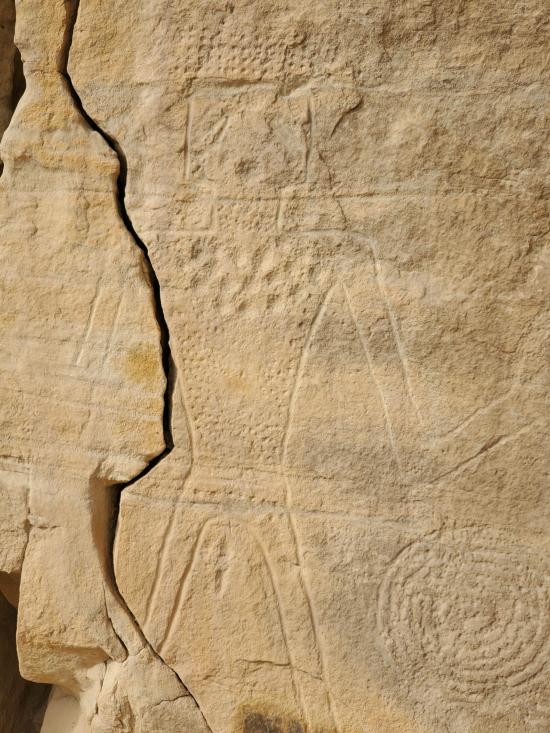
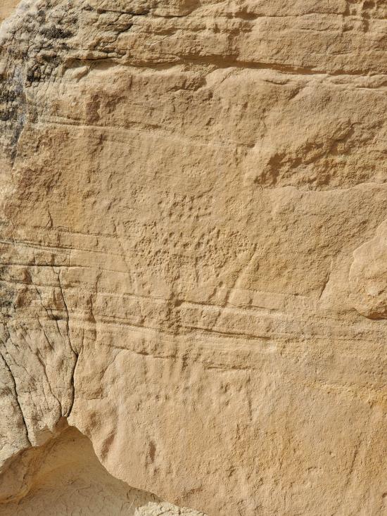
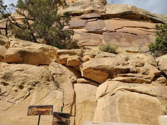
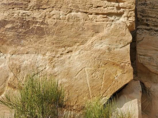
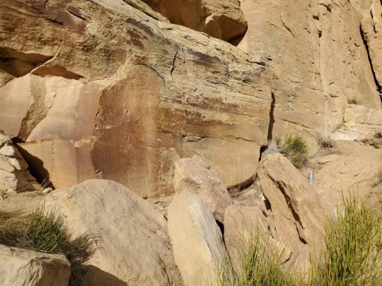
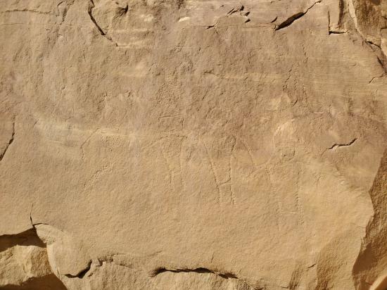
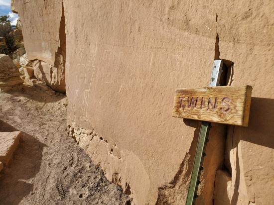
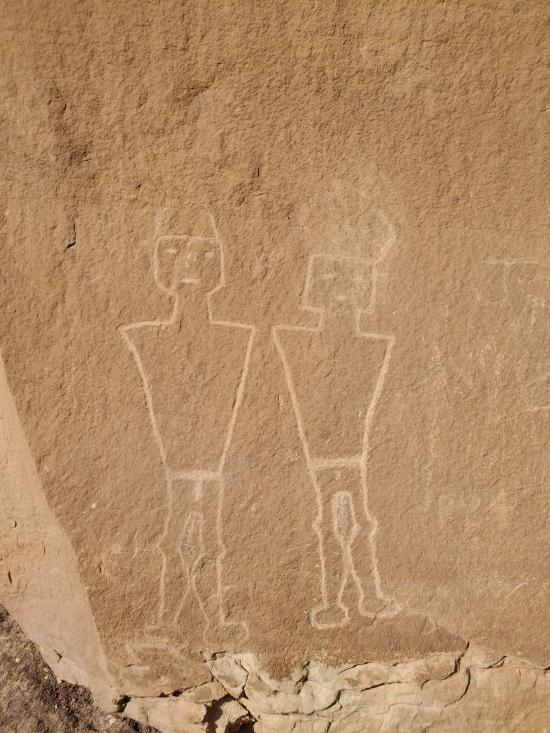
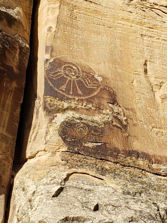
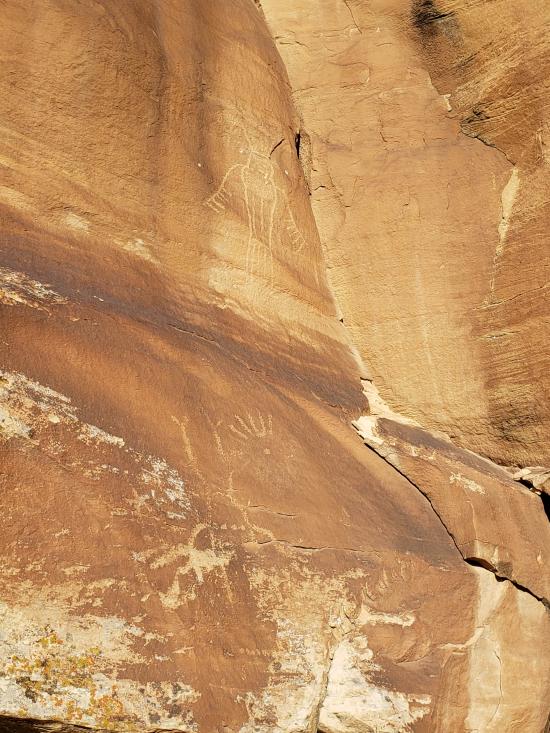
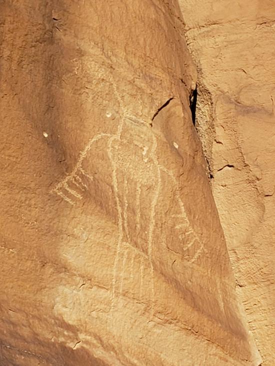
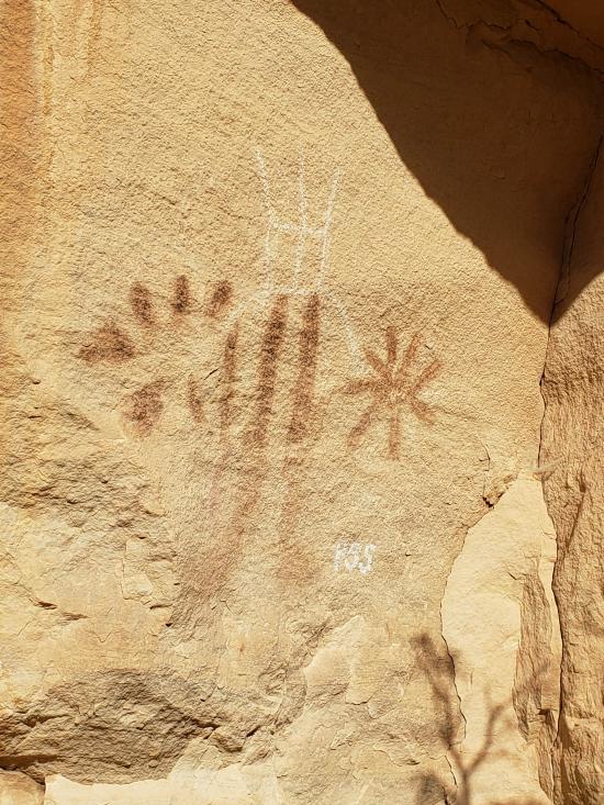
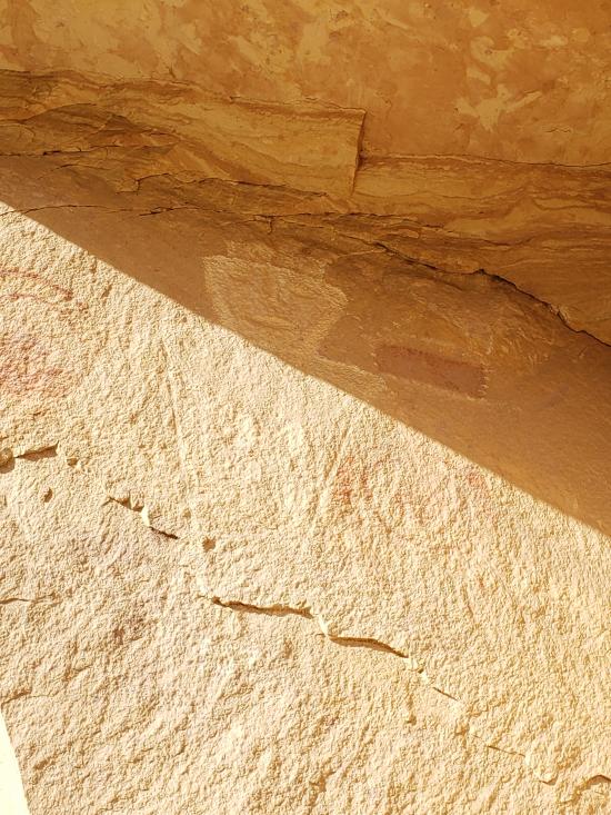
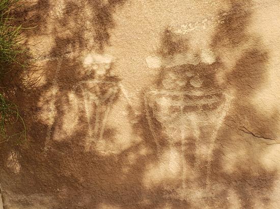
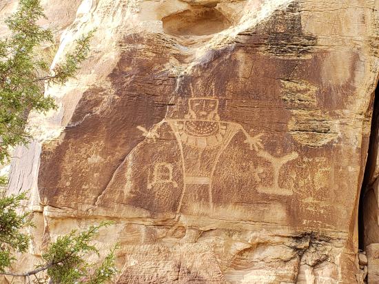
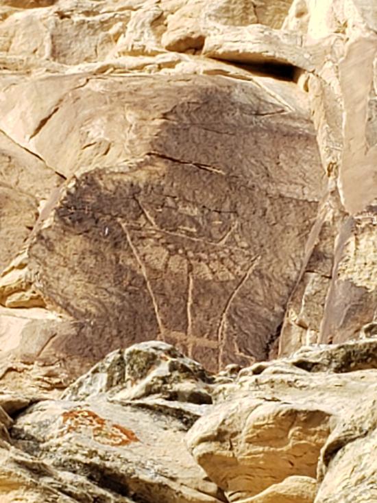
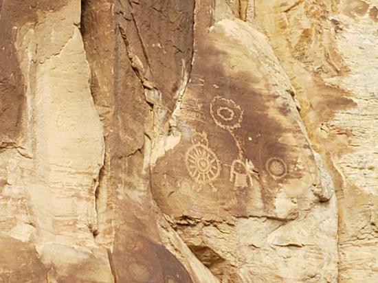
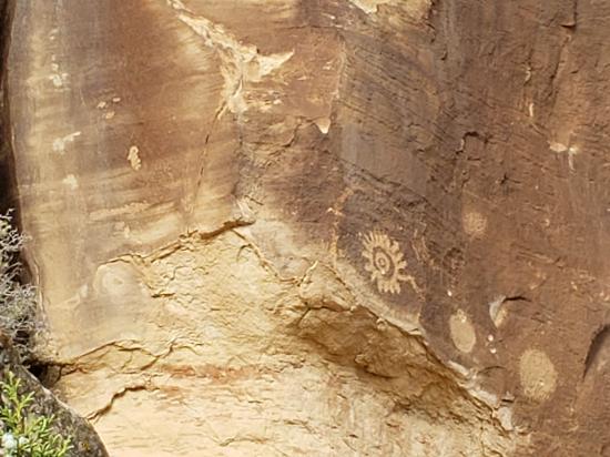
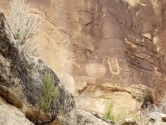
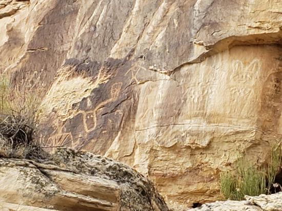
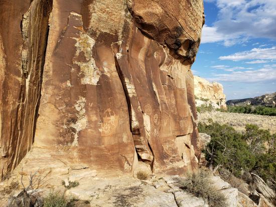
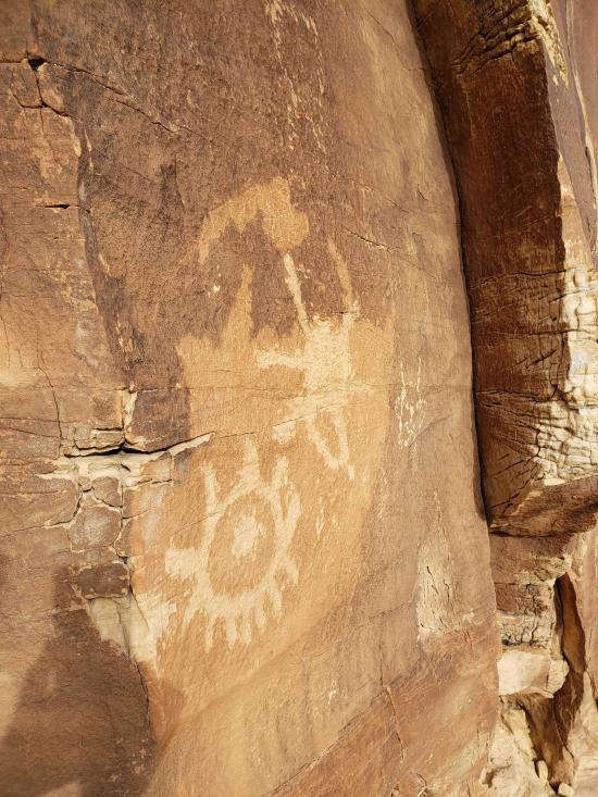
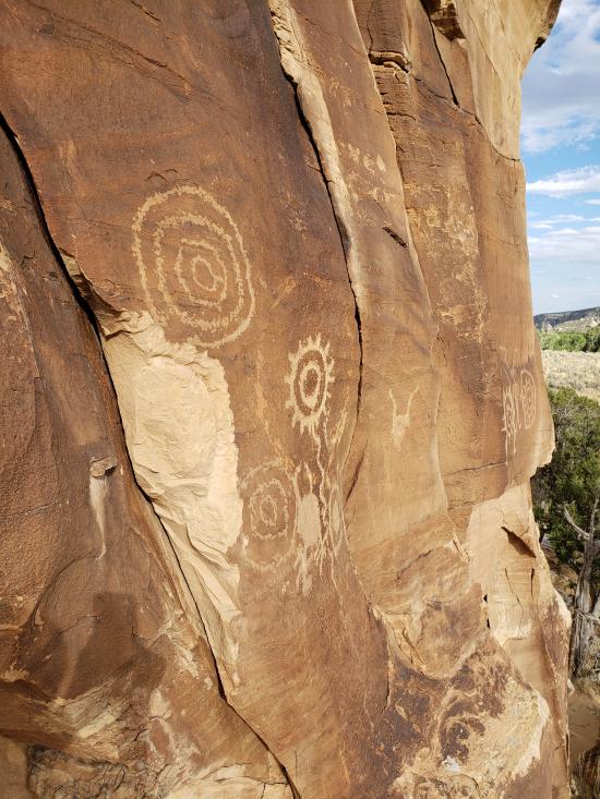
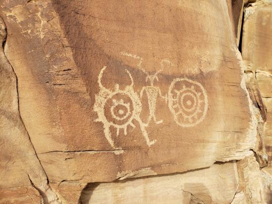
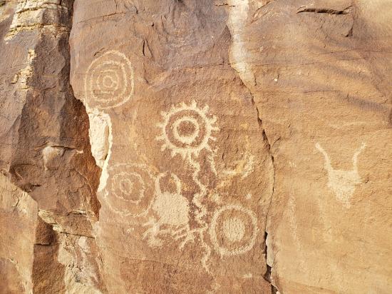
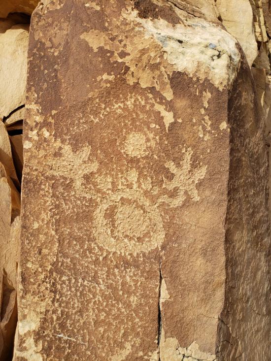
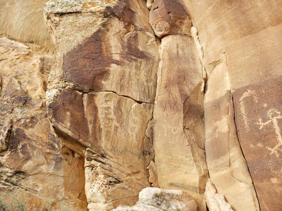
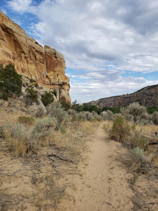
There are several things to see at the ranch. Directly above the parking lot are a few panels, but the best panels are farther to the northwest. It is about a half-mile hike, but well worth it. There are petroglyphs and pictographs along most of the trail.
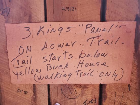
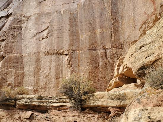
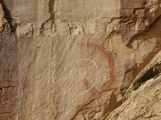
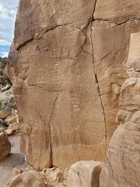
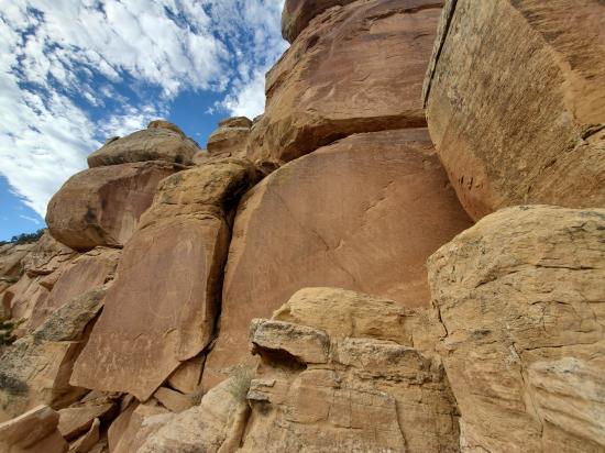
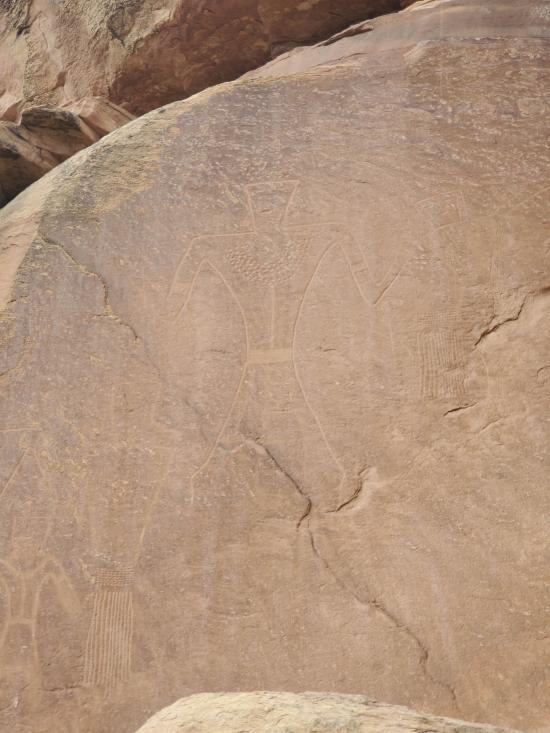
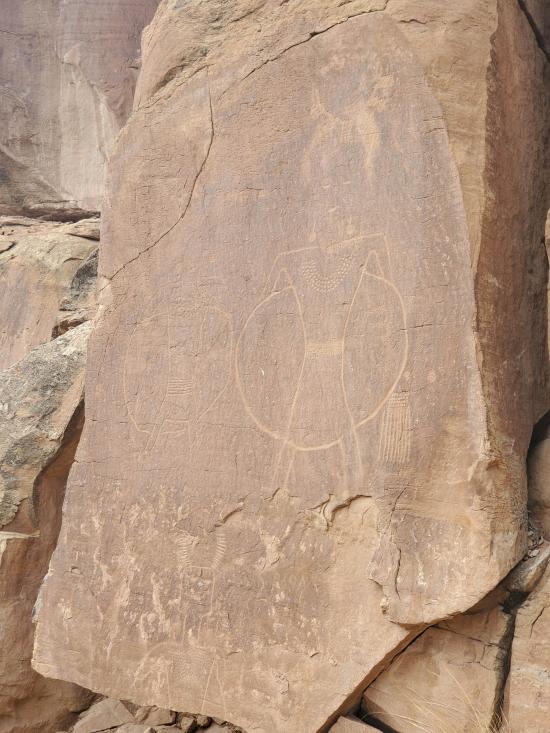
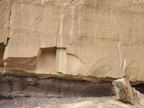
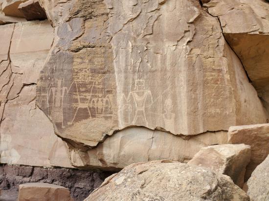
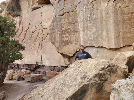
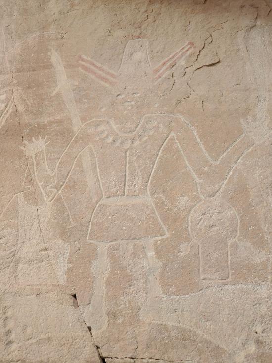
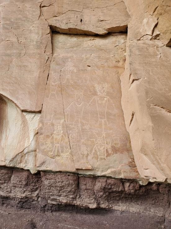
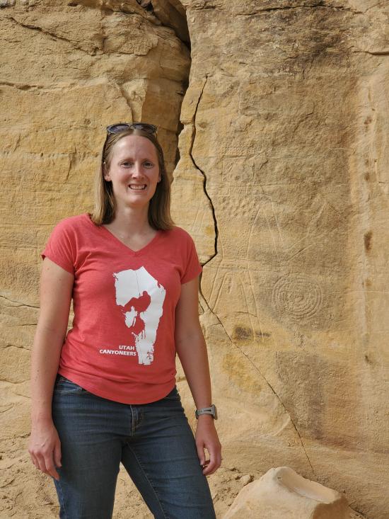
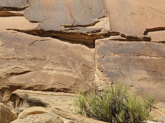
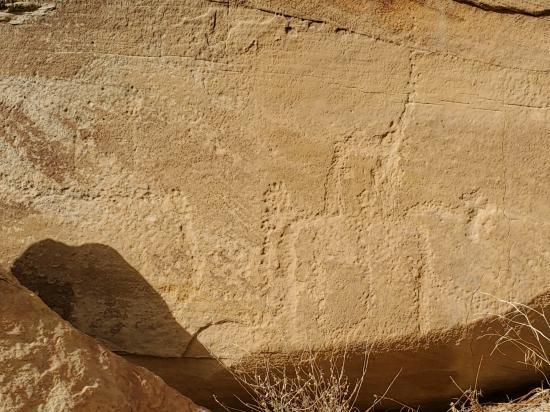
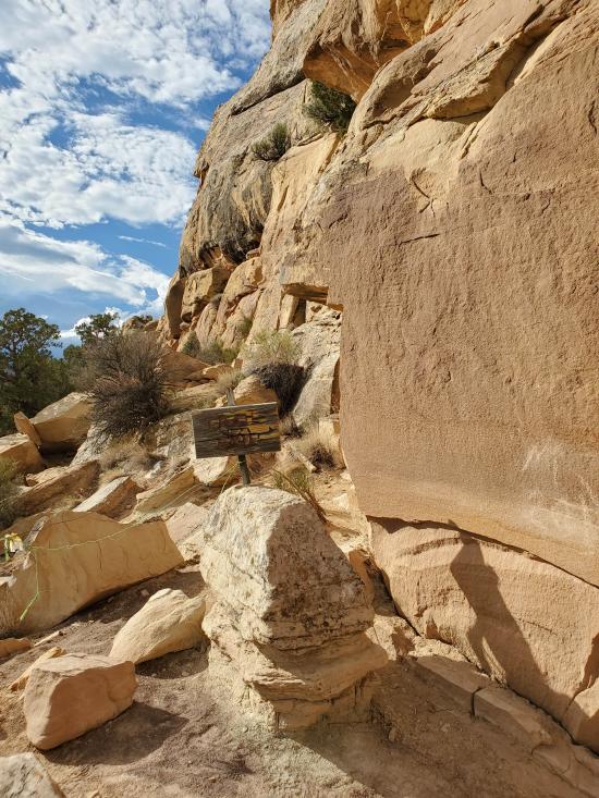
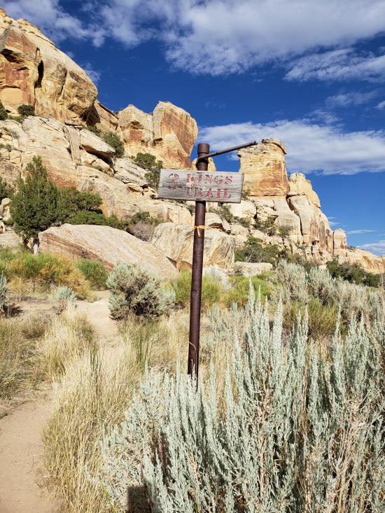
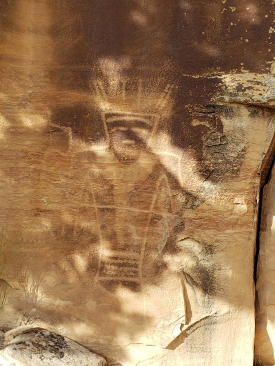
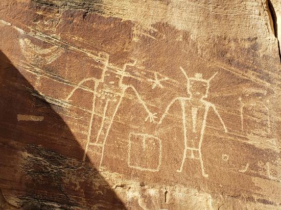
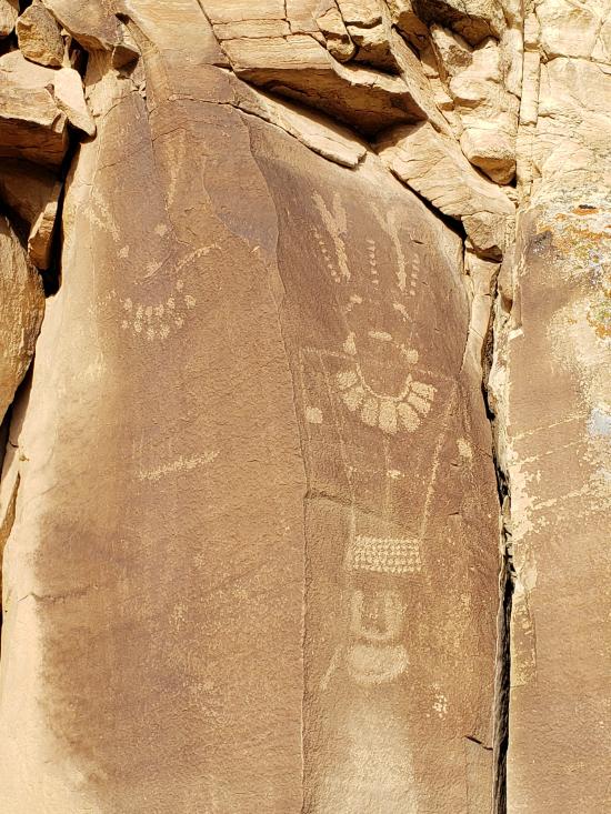
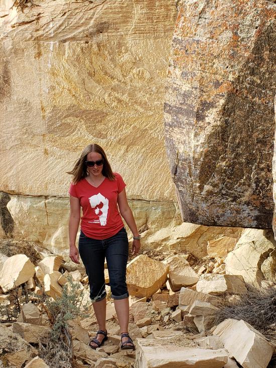
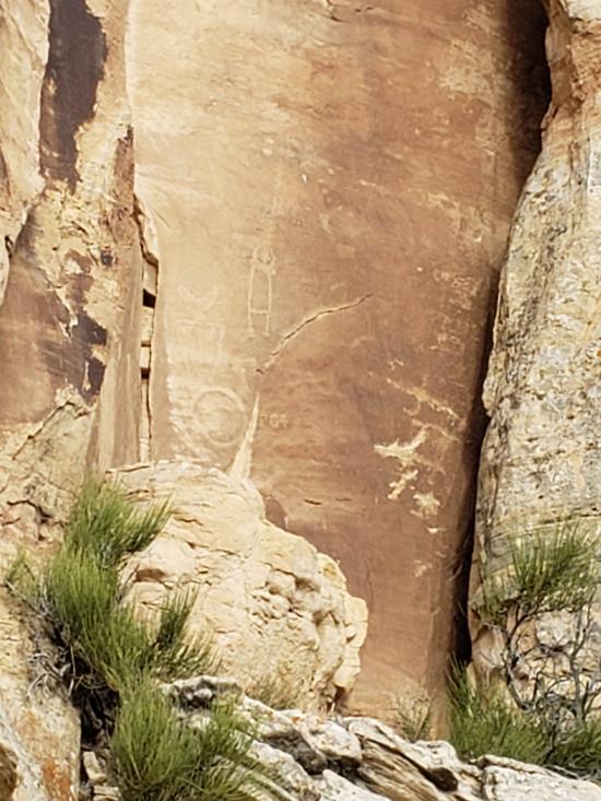
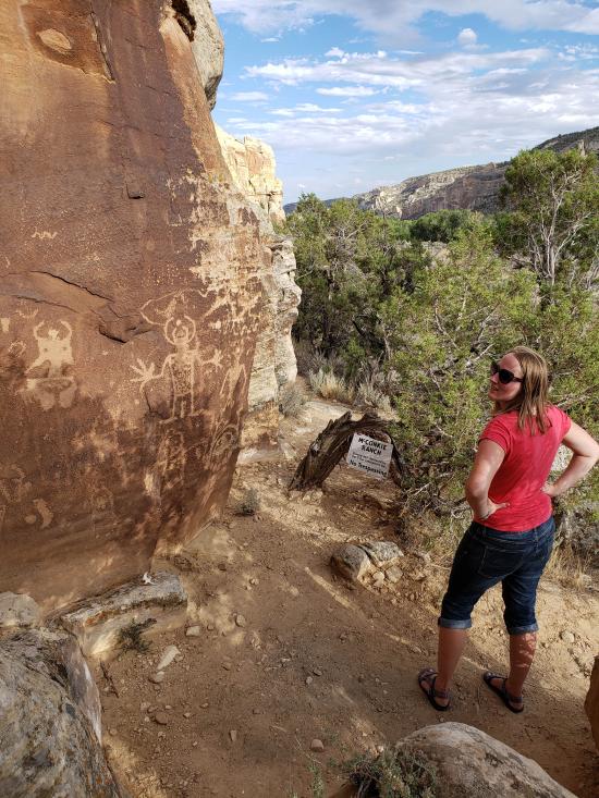
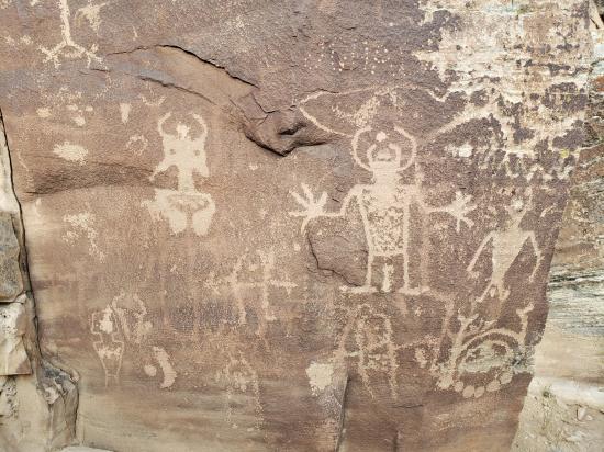
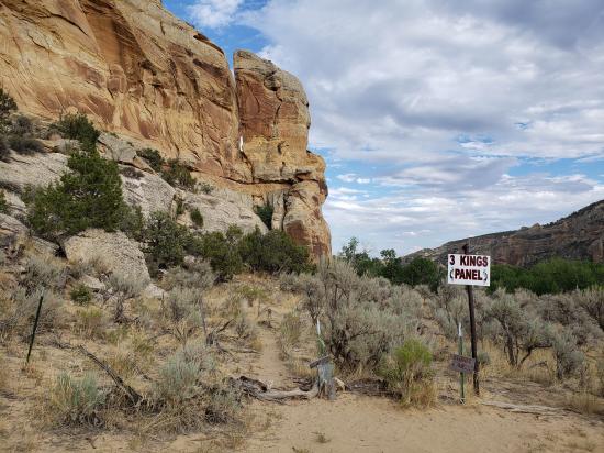
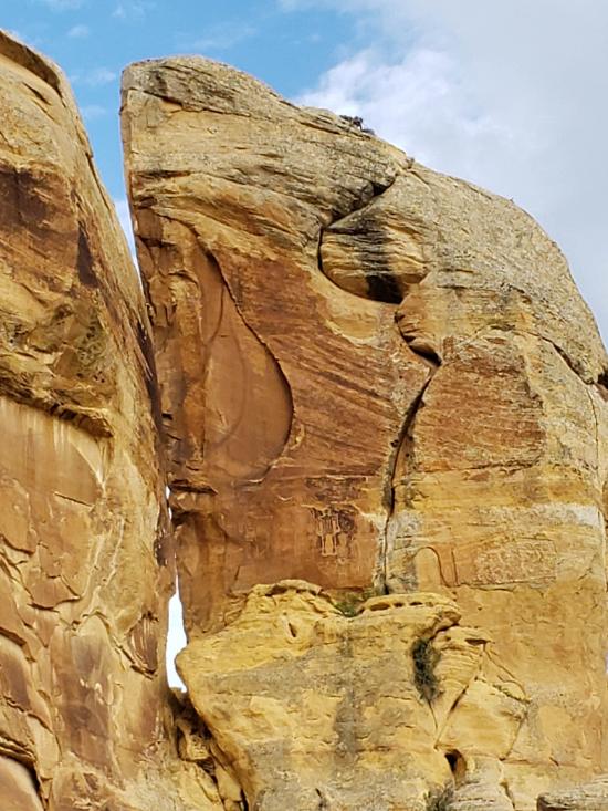
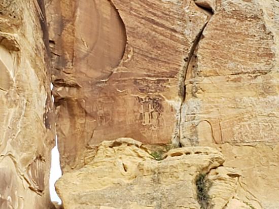
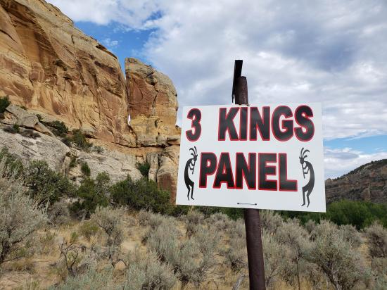
The other half of the panels are about 1/2 mile southeast of the parking lot. To view the 3 Kings Panel, start at the turnstile just below the main house, by the green gate. Pass through the turnstile and follow the trail through two pastures and into a third field. There is a trail through the high sagebrush to the cliff and the first of the lower panels. Make sure you pass across the mouth of the large side canyon and hike over to the base of the monolith that juts out into the canyon. Up high you will see the Three Kings Panel, considered by many to be the most spectacular panel in the area.
Trail Condition: Class 2 (Trail may have tree roots or rocks jutting out. Navigation skills may consist of following rock cairns and choosing turns at junctions. Elevation gains may be more substantial.)
Time: 1 hour
Length: 0.75 miles round trip for cliffside walk,
Elevation Gain: 350 ft
Fees: Donations Accepted
Recommended Ages:
 | 0-3 |
 | 4-11 |
 | 12-19 |
 | 20-49 |
 | 50-69 |
 | 70+ |
Recommended Months to Visit:
| Jan |
| Feb |
| Mar |
| Apr |
| May |
| Jun |
| Jul |
| Aug |
| Sep |
| Oct |
| Nov |
| Dec |
Navigate to 40.546038, -109.636884.
By Jeremy Dye
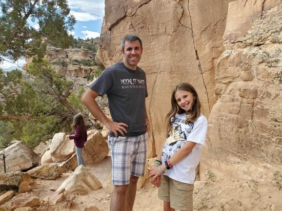
Jeremy Dye, Tara Dye, Savannah Dye, Madilyn Dye, Cooper Dye, Greg Dye, Laura Dye,
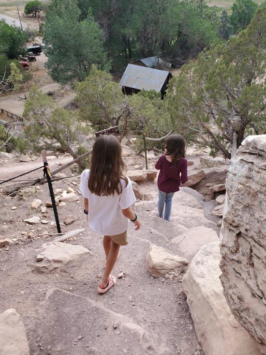
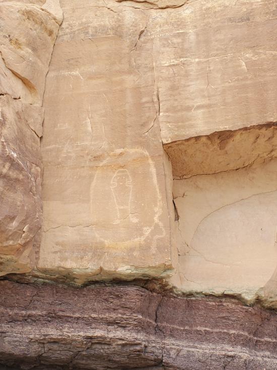
It was really hard to find any maps or good information online about McConkie Ranch Petroglyphs, so we didn't really know where we were going. We all hiked up the cliffside trail to the northeast and saw the kind of lame petroglyphs there. The trail got faily steep with some large rocks that my Dad wasn't able to climb up, so they turned around and went back to the cars. Cooper went with them. The rest of us continued northwest along the cliffs until we got to the junction. Then Madi said she was done and took the return trail down to the cars. Savannah, Tara, and I continued to the end of the trail and were glad that we did. The petroglyphs near the end were some of the best we've seen anywhere. Then we returned to the cars. Mom's stomach was bothering her, so she and Dad drove back to the Airbnb. the kids wanted to stay in the car and listen to their audio book, so just Tara and I hiked to the 3 Kings Panel. That was amazing, and we enjoyed finding lots of other small petroglyph panels on the way.


 Utah Field House of Natural History State Park Museum
 Petroglyphs and Pictographs
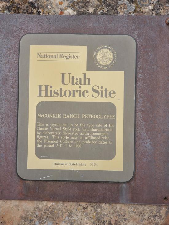
 National Register of Historic Places
 No Drinking Water
 Marked Trails
 Restrooms - Vault
 Road Access is Paved
 Access Road is 2WD Accessible
 Hiking Trails
 Wildflowers and Vegitation
 Wildlife and Birding


