 Canyoneering | Imlay Canyon - Full Route


Hype:
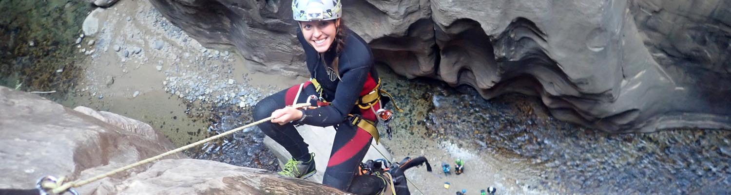
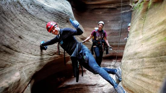
Imlay Canyon is one of the best canyoneering routes in Zion and possibly the world, but it is not to be taken lightly. Imlay Canyon is very difficult and long and requires careful planning and preparation to have a safe and fun trip. The canyon boasts rappels, downclimbs, swimming, stemming, pothole escapes, arches, and some of the most scenic canyon walls in the world.
Canyon Rating: 4B R 
Time: 13+ hours
Length: 11.2 miles from West Rim Trailhead to Temple of Sinawava Bus Stop
Longest Rappel: 120 ft
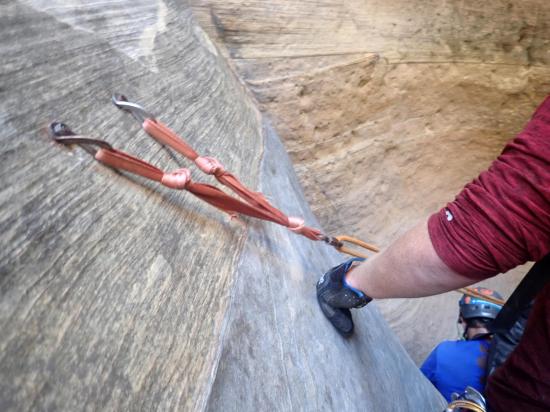
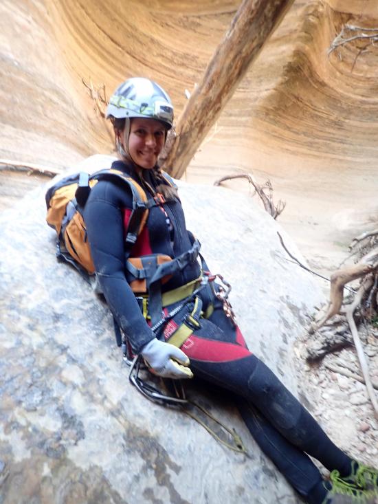
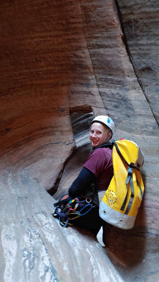
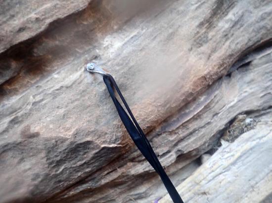
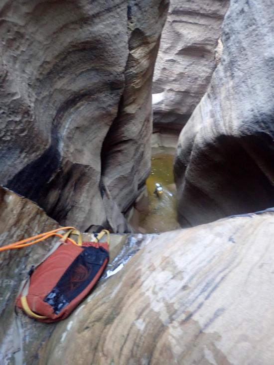
Gear: Standard canyoneering gear. Anchor building materials and/or retrievable anchors. Pothole escape gear. Wetsuit and drybags. Overnight gear of doing the trip in two days.
Fees: Park Entrance, Canyoneering Permit
Recommended Ages:
 | 0-3 |
 | 4-11 |
 | 12-19 |
 | 20-49 |
 | 50-69 |
 | 70+ |
Recommended Months to Visit:
| Jan |
| Feb |
| Mar |
| Apr |
| May |
| Jun |
| Jul |
| Aug |
| Sep |
| Oct |
| Nov |
| Dec |
Permits: Required. Make a reservation online
Links: https://www.roadtripryan.com/go/t/utah/zion/imlay-canyon
Navigate to 37.381666, -113.022766.
Imlay Canyon is long and difficult. If every member of your group isn't in good physical condition or isn't comfortable rigging, you will likely run into trouble and either spend the night in the canyon or have to bail. Some groups plan to do the canyon in 2 days, but I'm not sure the logistics for hauling overnight gear through the rest of the canyon. It doesn't seem worth it in my opinion.
The bus shuttle usually only runs until 9 p.m., so you want to make sure to get a very early start in the morning or you'll have to hike an extra 5+ miles to your car in the middle of the night. That's no fun! It's much better to wake up earlier.
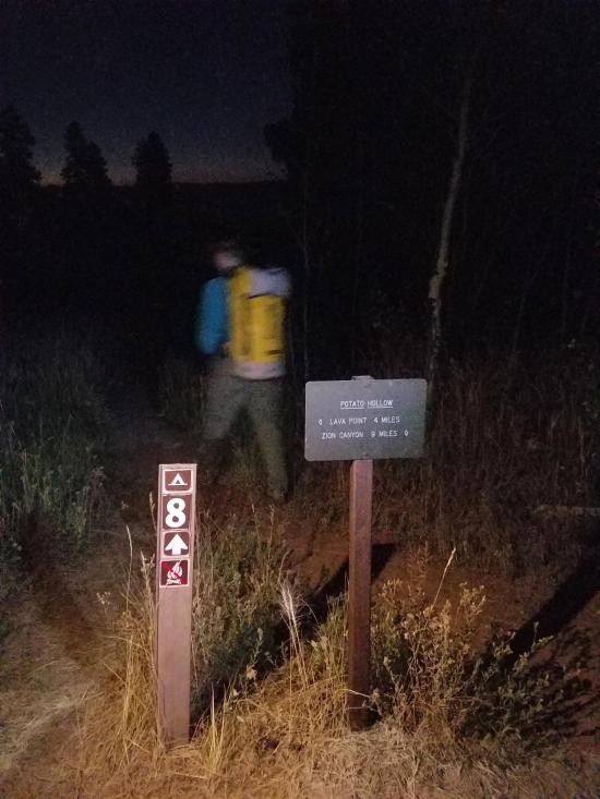
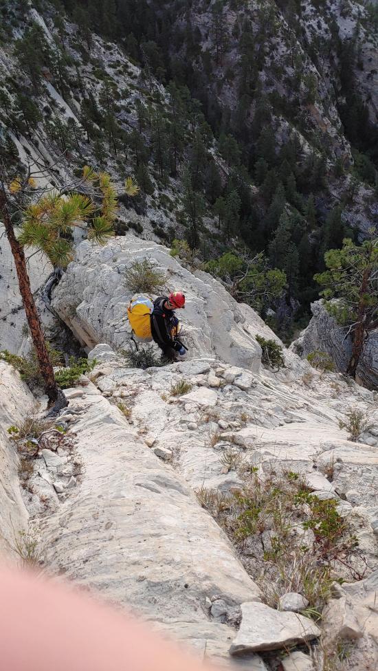
From the West Rim Trailhead, take the West Rim Trail south for approximately 5.3 miles to Potato Hollow. Take the side trail heading east, but don't take that trail all the way to the campsite. You'll have to leave the side trail and route-find your way to the top of Imlay Canyon.
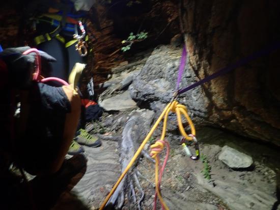
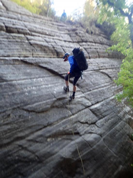
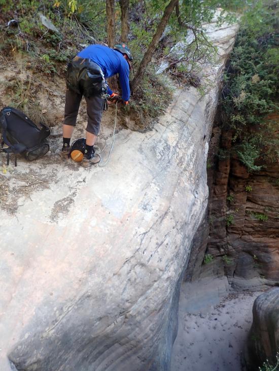
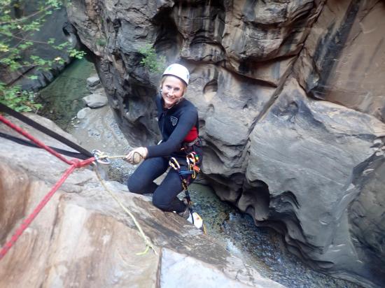
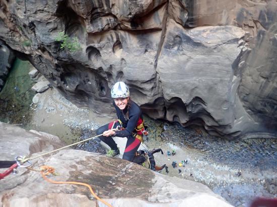
From the rim you'll need to rappel twice to get down to the bottom of the drainage.
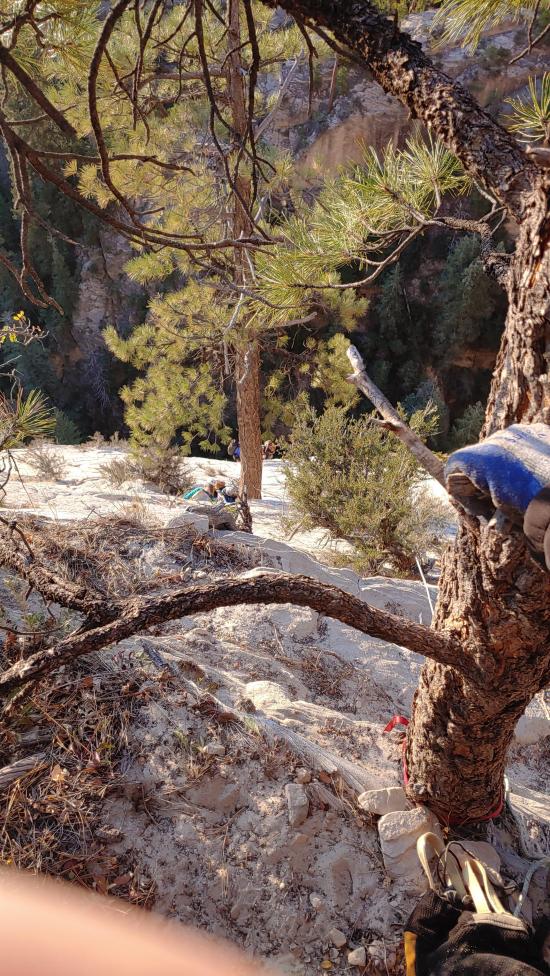
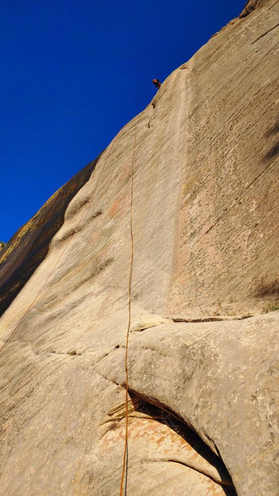
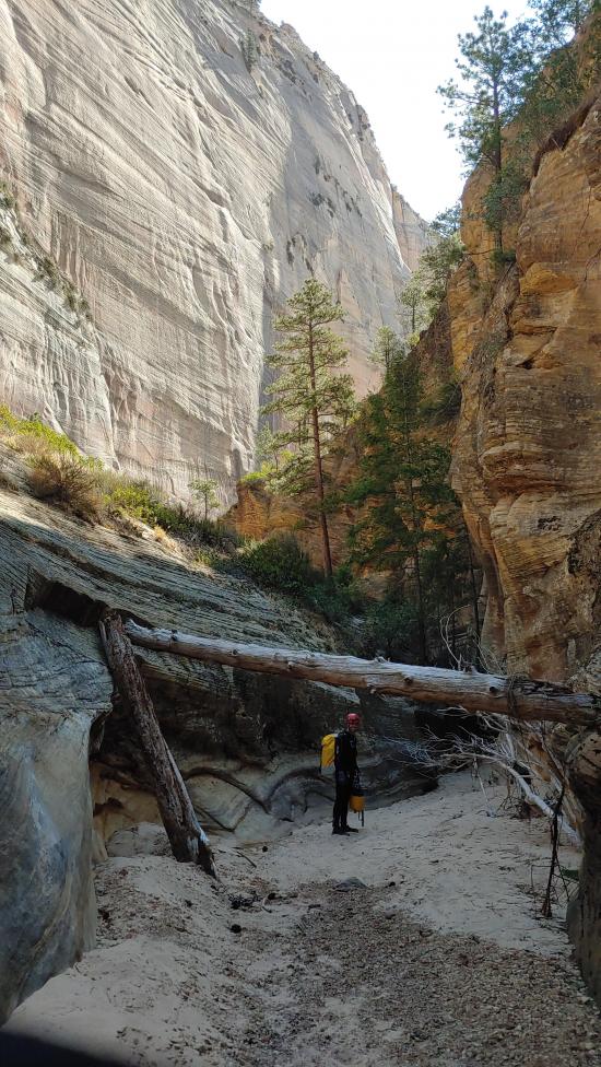
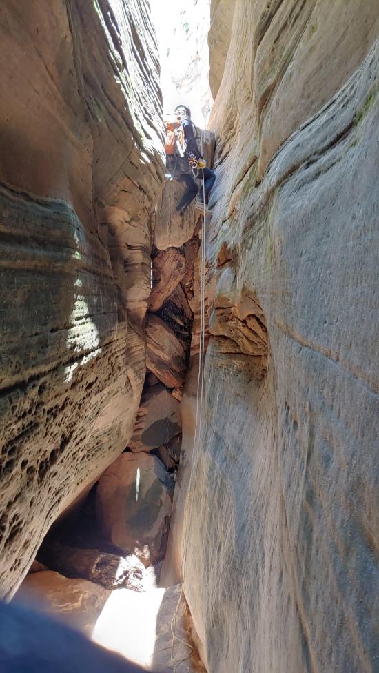
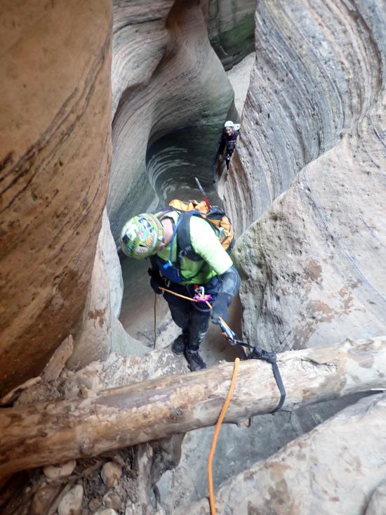
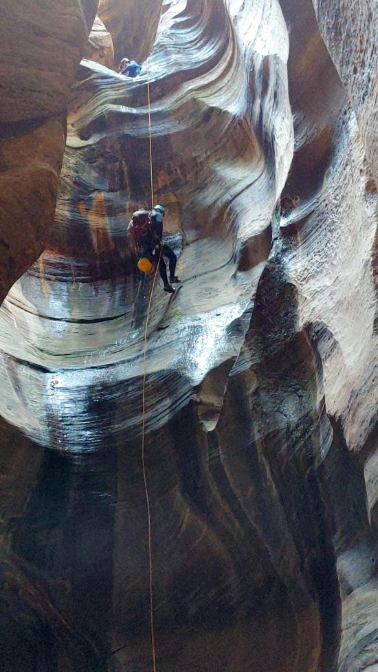
Once in the drainage, head downhill for about 0.1 miles. You'll then leave the drainage to the north and sidehill over to several trees that you can rappel in succession. The final tree is on the lip of the cliff and has a straight shot to the bottom. I don't have an exact measurement, but it's a long one. One more 30-foot rappel deposits you back in the drainage.
Follow the drainage down for about a third of a mile to the next drop. There is a rappel set up from a tree on the north edge, but it's a pretty straightforward downclimb of about 20 ft.
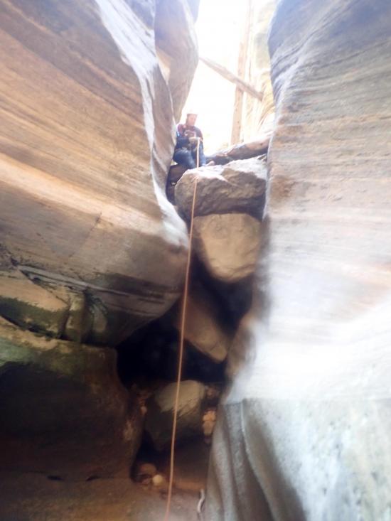
In another quarter mile, rappel 20 feet from a bolted anchor into a pothole. The pothole is not difficult.
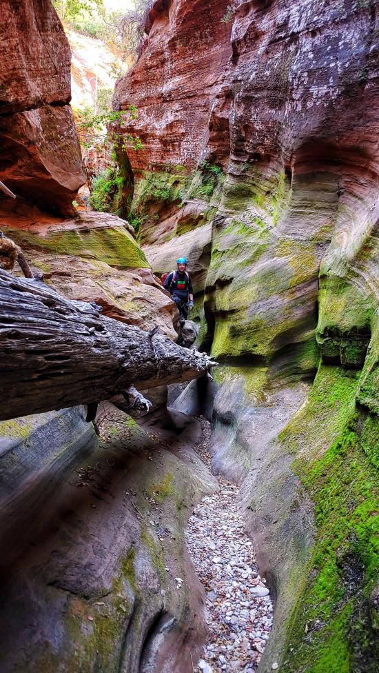
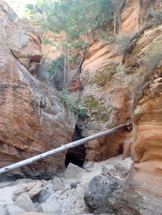
Downclimb a slickrock slab with a log that conventiently acts like a ladder.
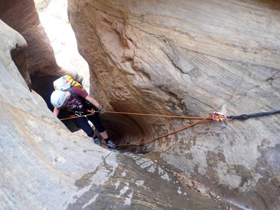
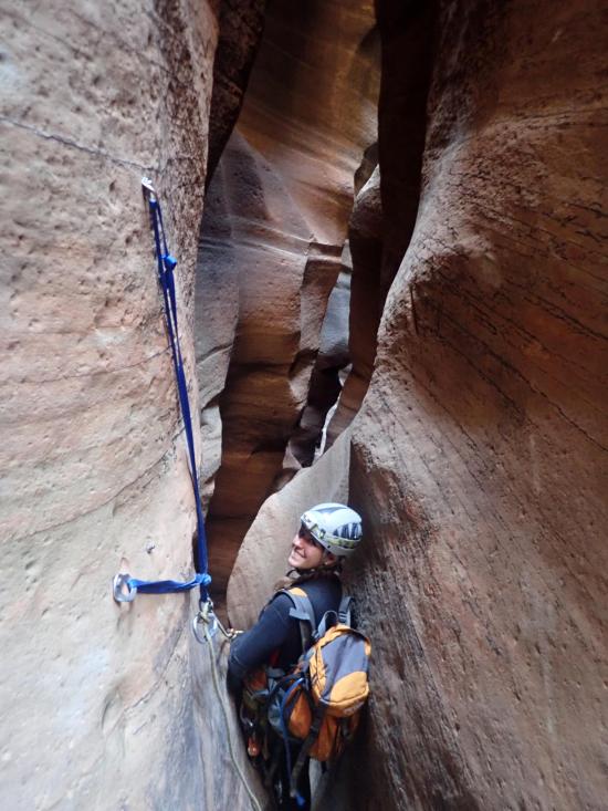
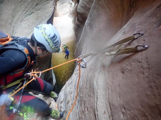
The next drop can be rappelled or handlined. There is a two-bolt anchor.
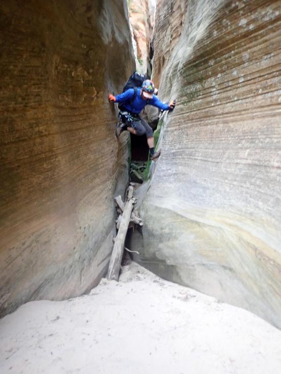
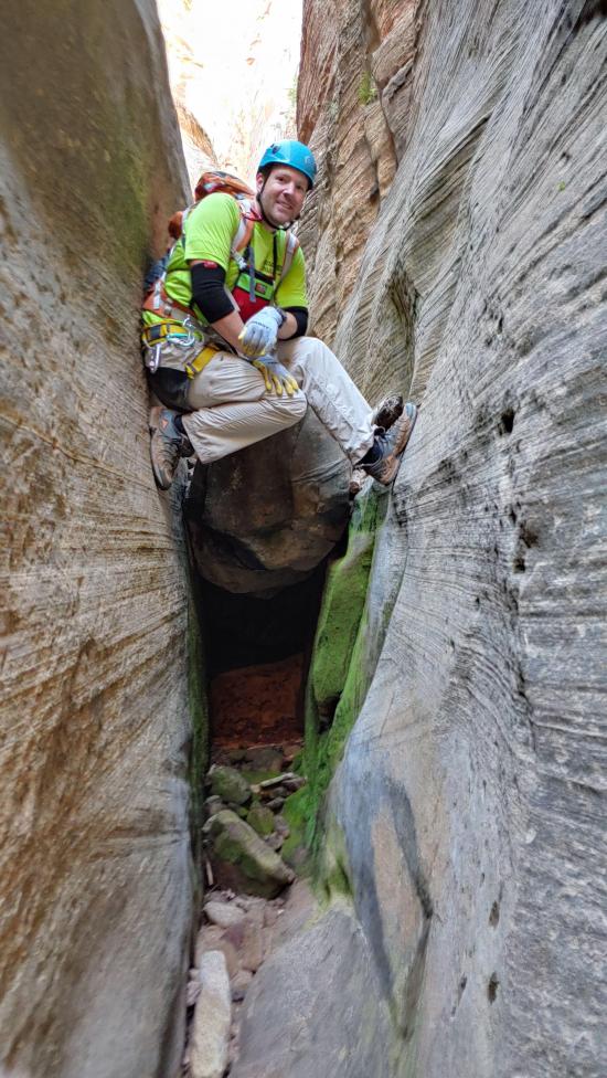
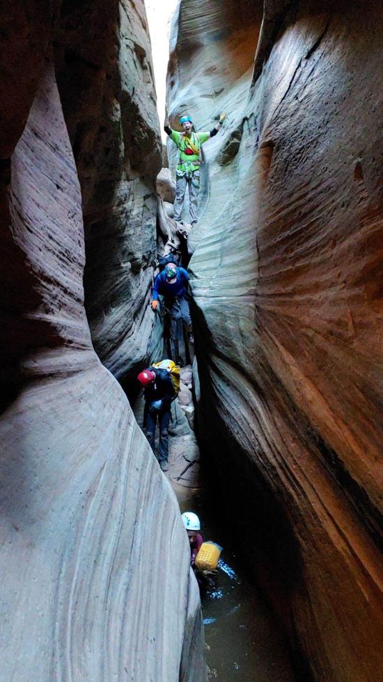
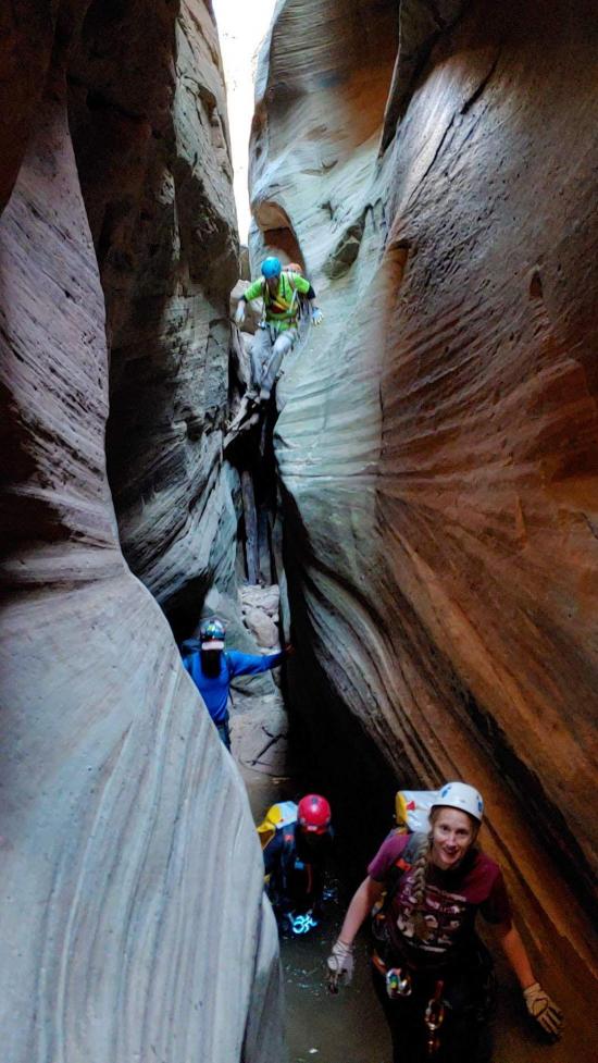
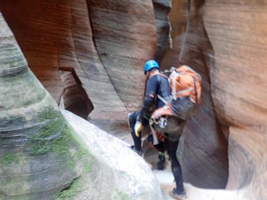
Next is a boulder jam. This can be downclimbed. The first person may want a handline, but once the first person is down, they can partner capture the rest.
Downclimb from a chock-log into a short section of water.
Rappel 25 feet from a chock-log.
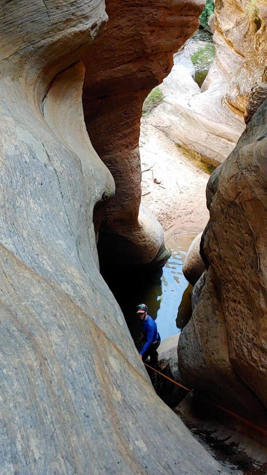
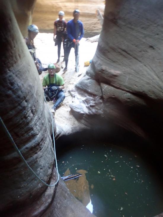
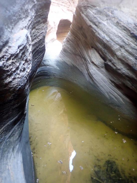
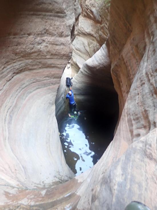
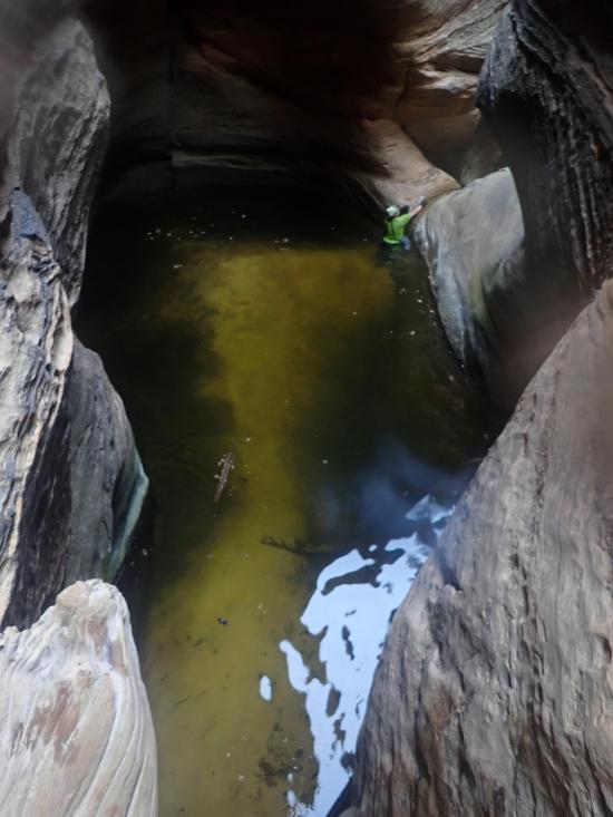
After a short downclimb, you'll soon come to a large pothole. There is an easy bypass on the left (north). Rappel from a tree to get back down into the watercourse.
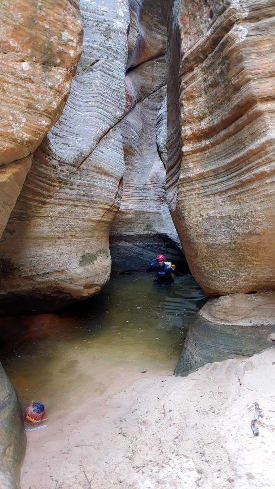
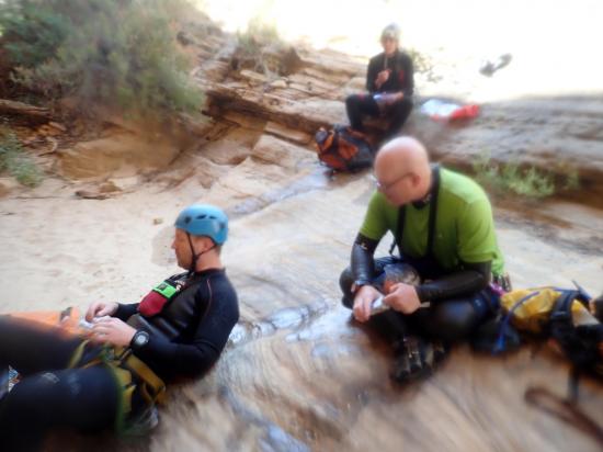
Next is a sequence of back-to-back drops with short potholes. This is likely the only water for a while, so only put your wetsuit on if you need it. One more downclimb puts you at the Crossroads.
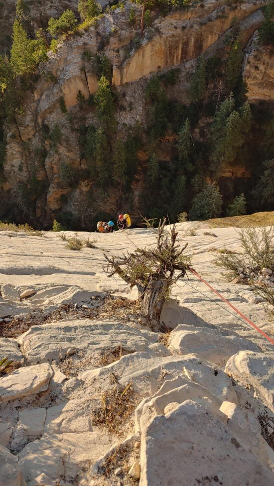
If it's after noon when you get to the crossroads, you will likely want to bail because you're moving too slow to finish the canyon in time. Either that or you can spend the night at the crossroads and continue the rest of the canyon the next day. The Crossroads is where the Sneak Route for Imlay comes in from the south. If you need to bail, you can exit the canyon to the south and take the sneak route down to the Angel's Landing trailhead.
From the Crossroads, continue down canyon.
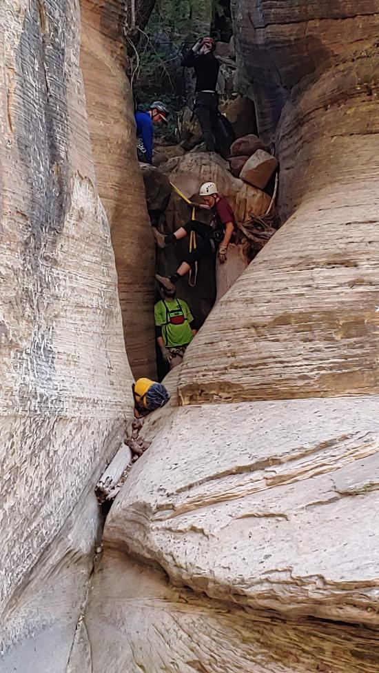
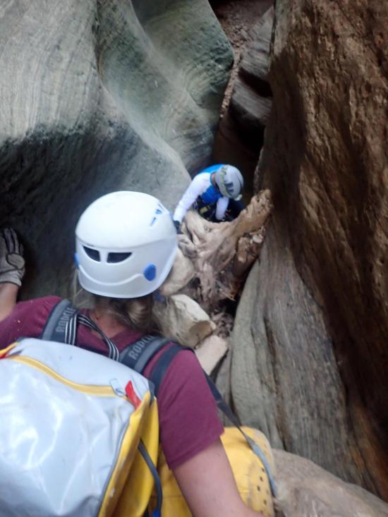
First up is a two-stage drop from a two-bolt anchor, down a logjam, past a pothole, and down another drop.
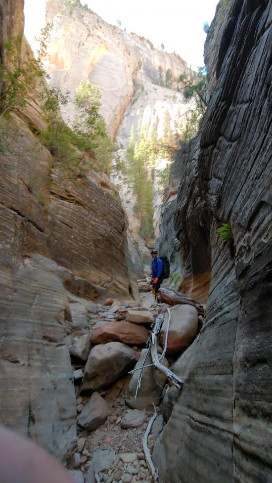
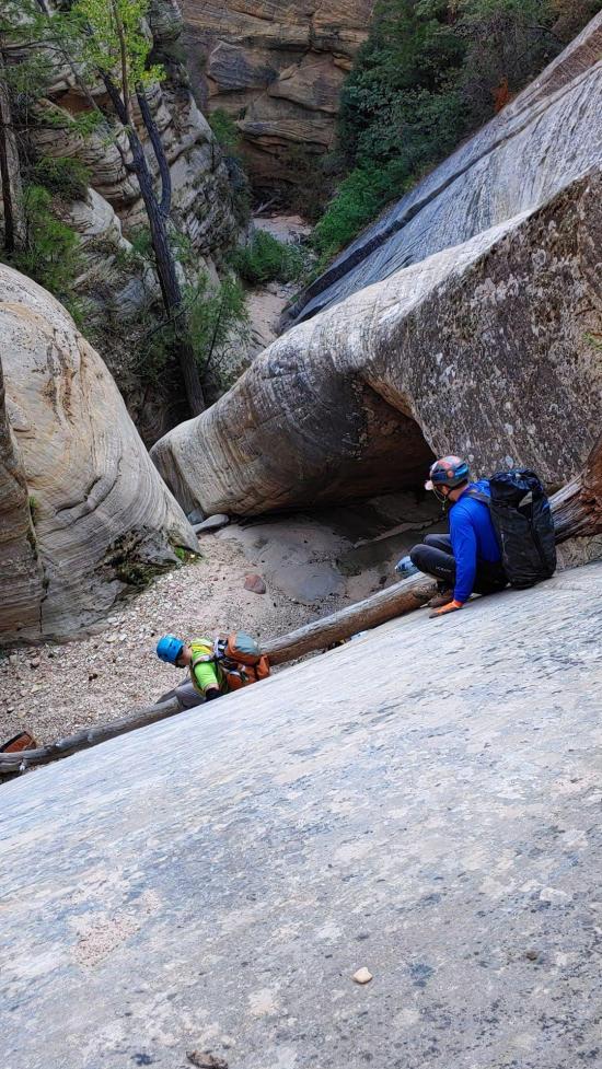
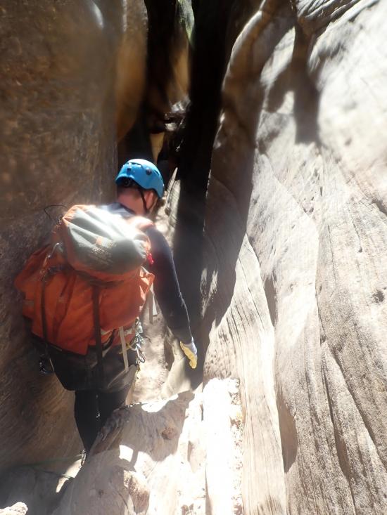
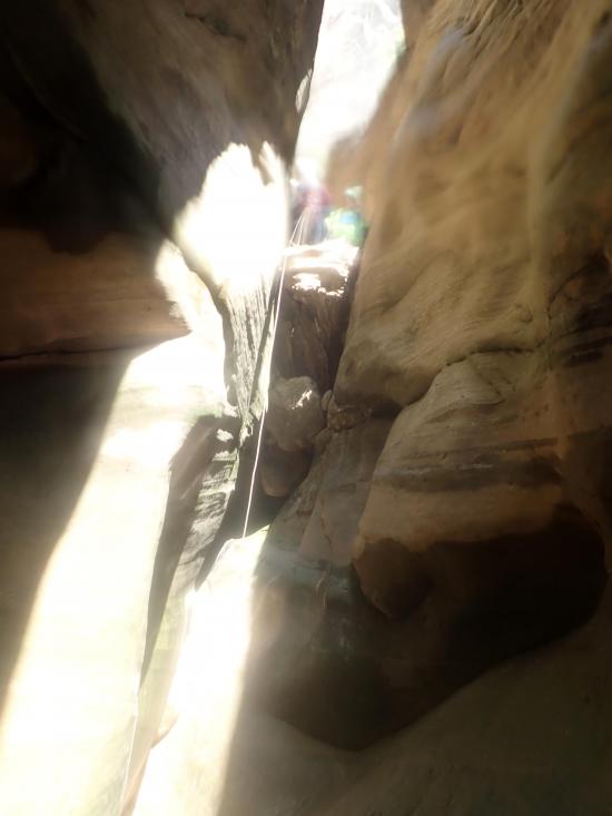
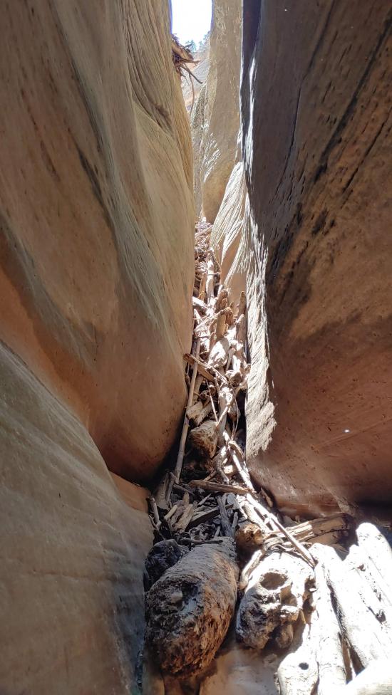
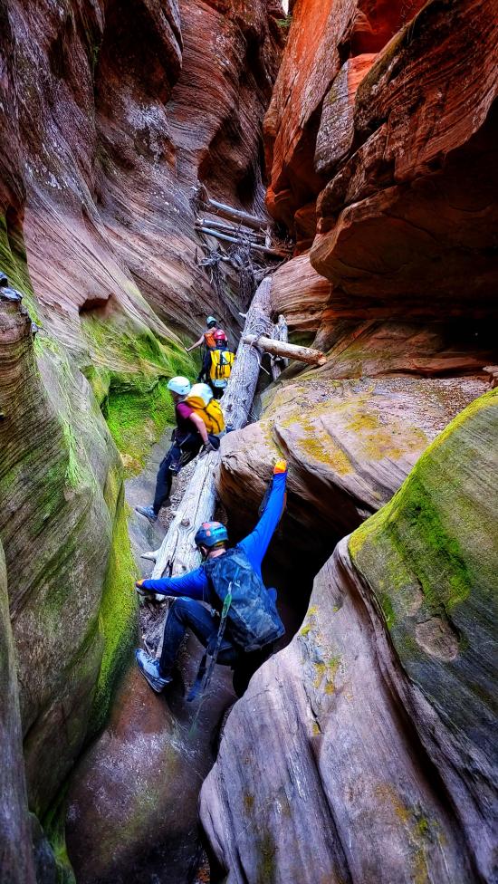
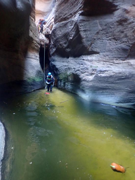
After two drops or downclimbs, you'll arrive at the Trash Compactor. This narrow hallway typically holds a lot of logs and debris and can be difficult to swim through when full of water.
After you get through the Trash Compactor, there is only one rappel in the next third of a mile. This section moves pretty quickly.
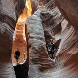
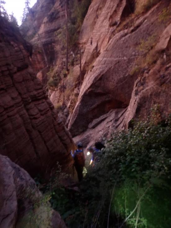
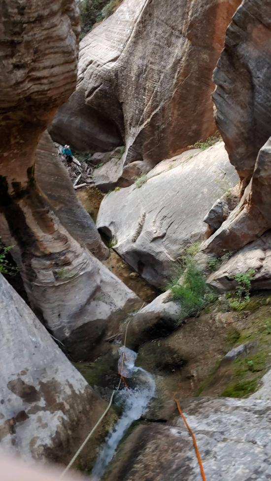
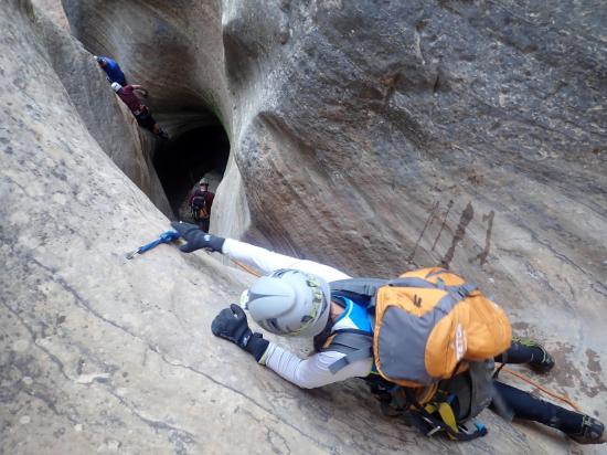
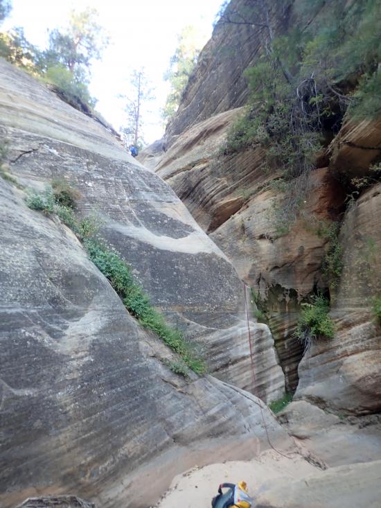
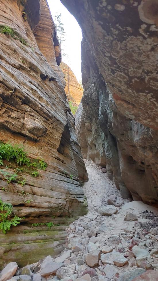
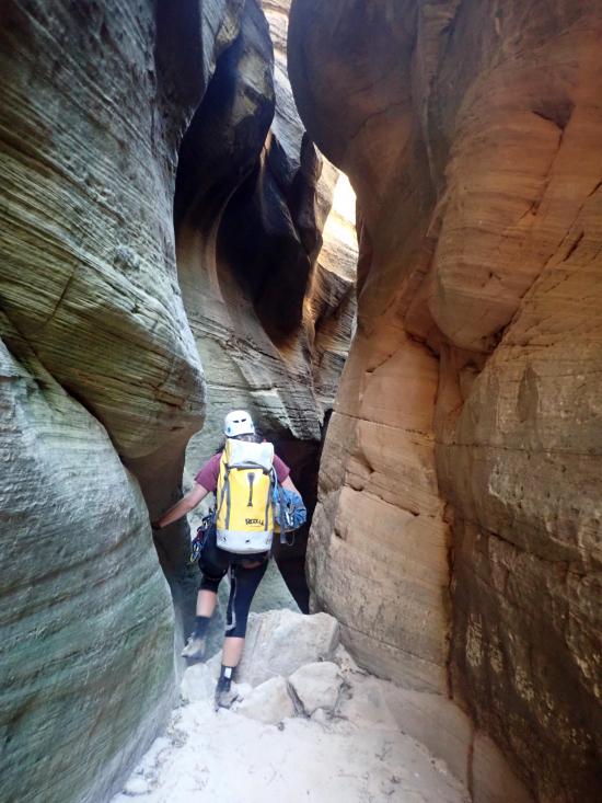
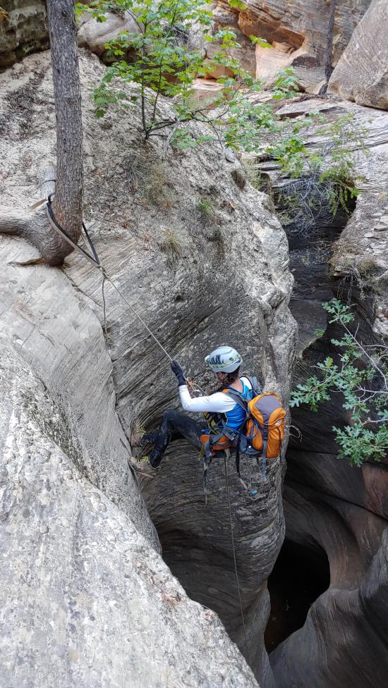
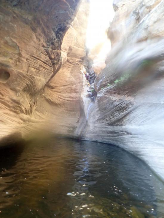
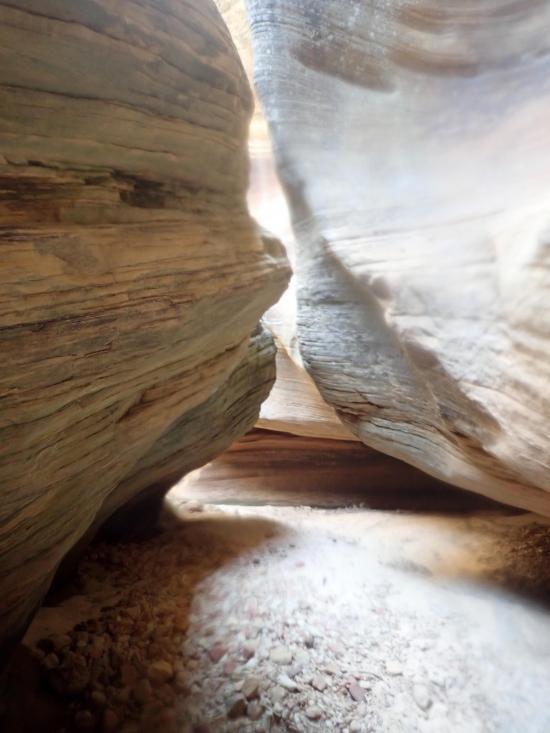
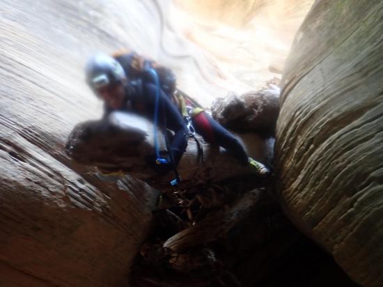
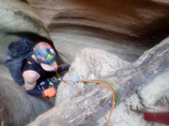
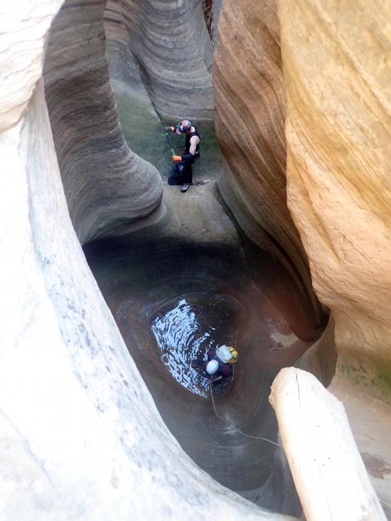
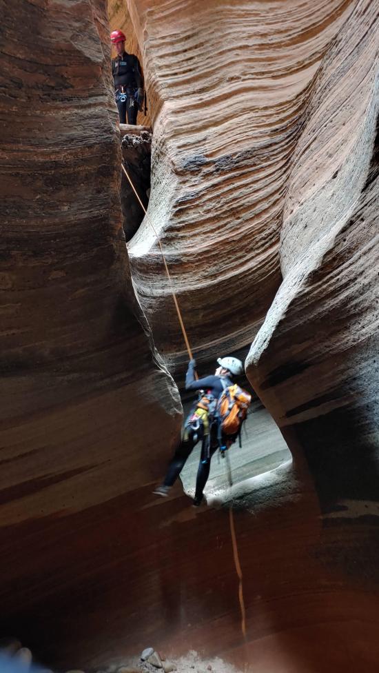
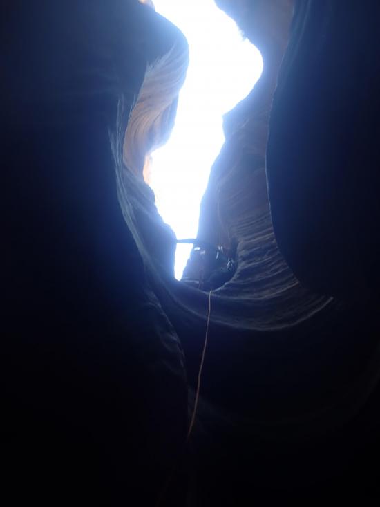
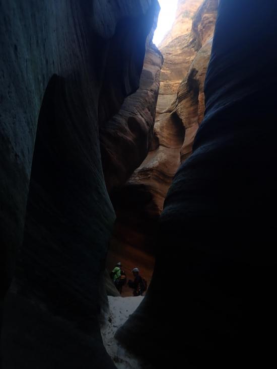
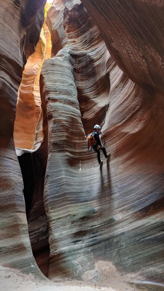
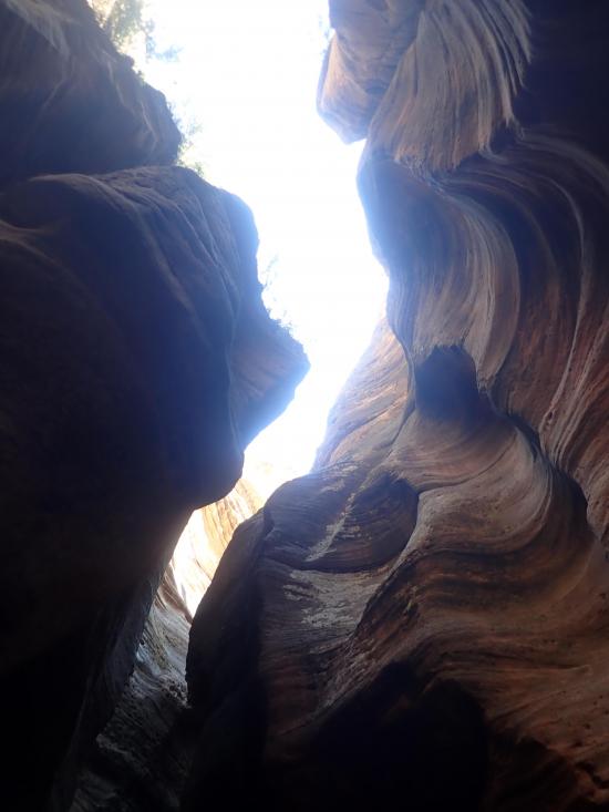
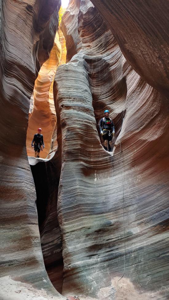
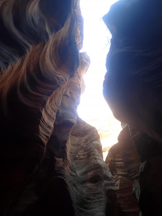
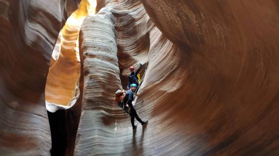
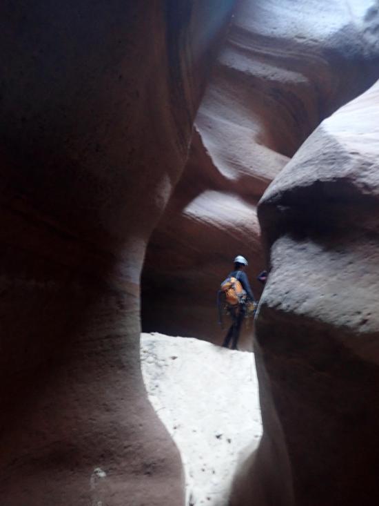
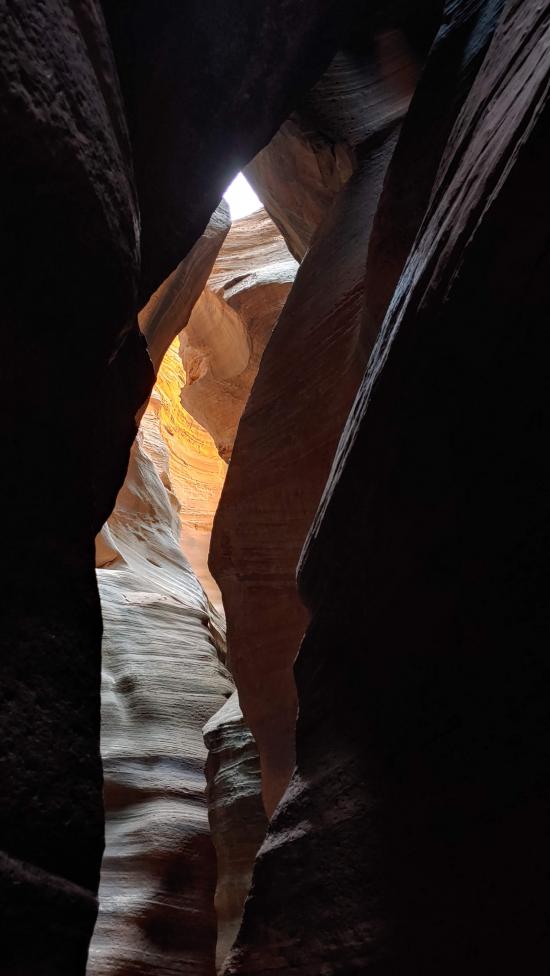
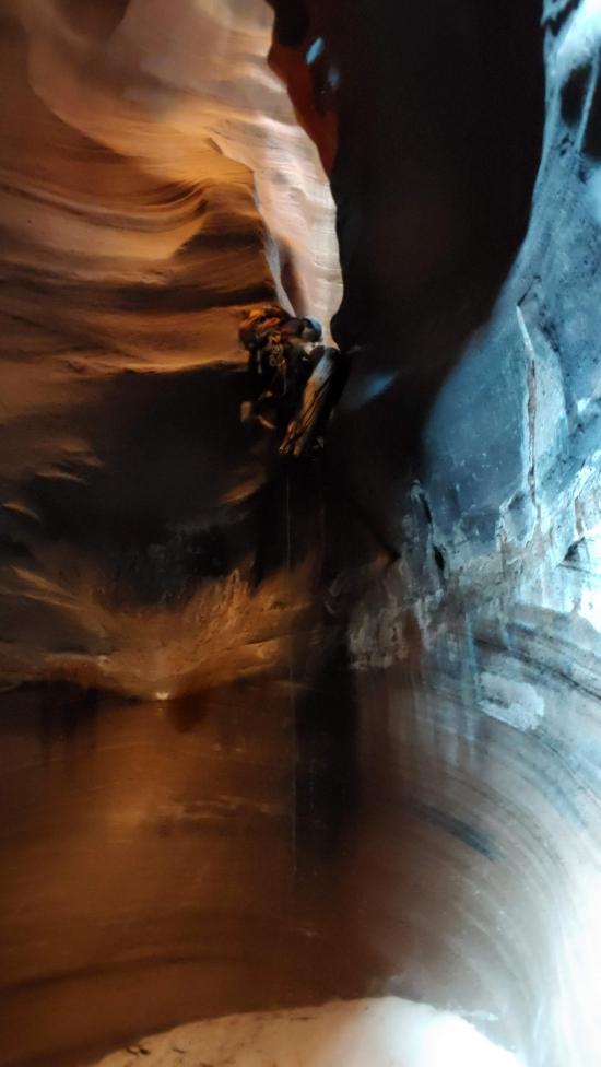
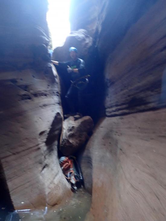
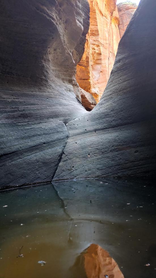
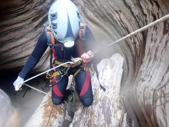
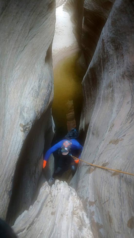
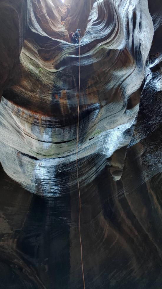
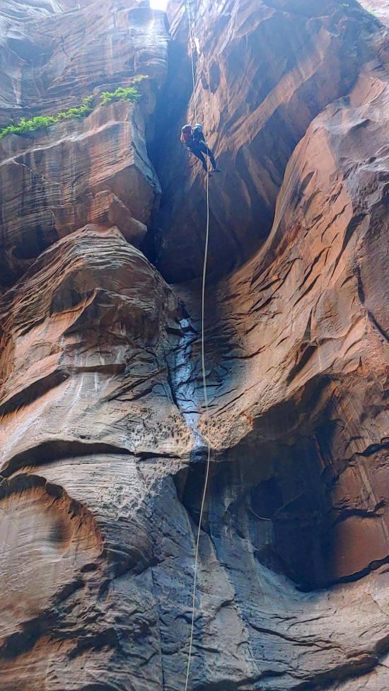
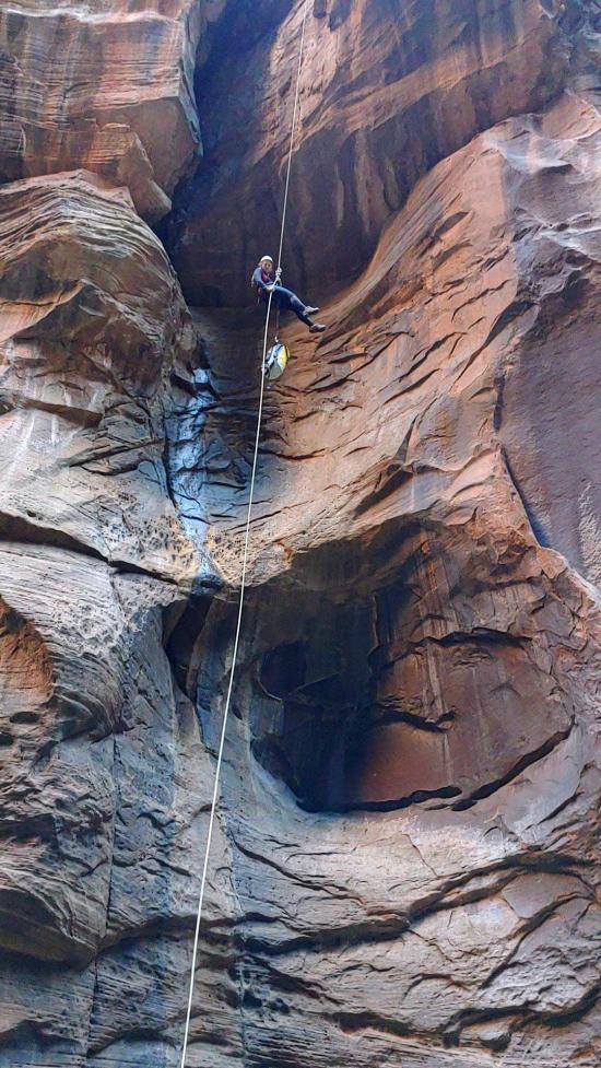
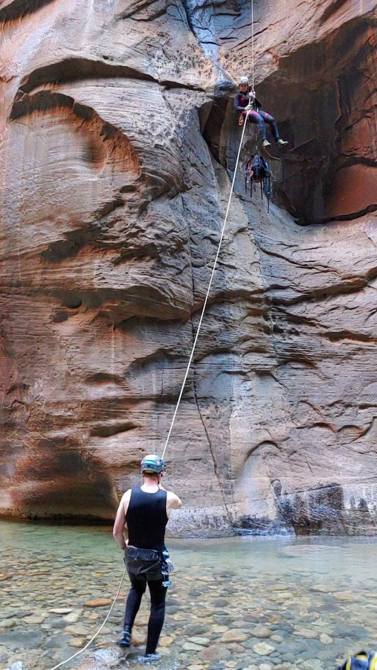
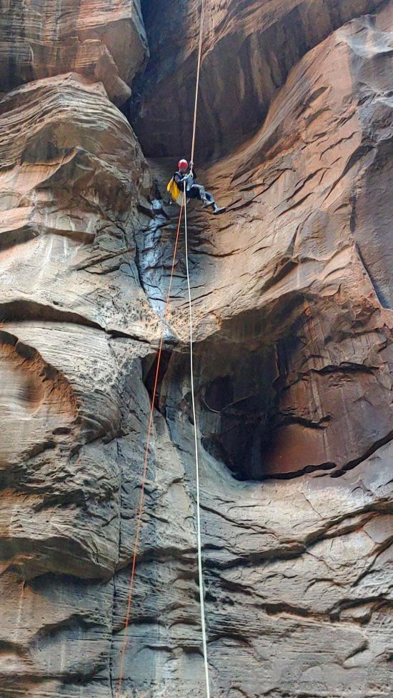
The next section of narrows is probably the most scenic section of Imlay Canyon. There are a couple of short rappels before you squeeze through a jagged arch and rappel down into a deep, dark, narrow, and sculpted canyon section. This rappel is the favorite spot for photos.
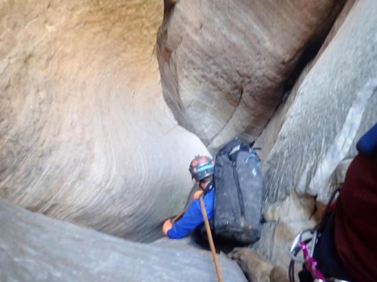
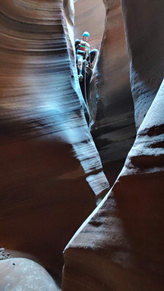
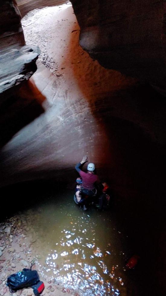
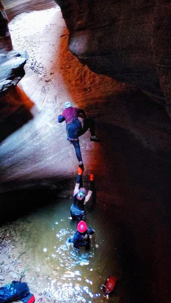
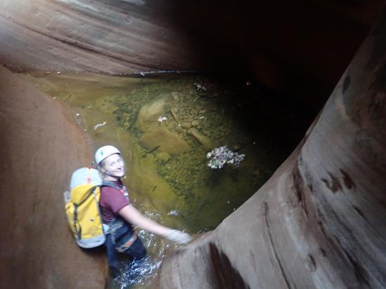
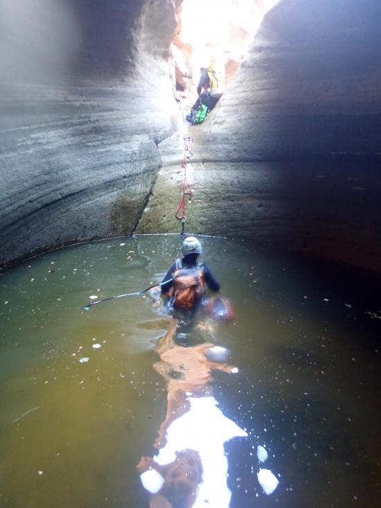
There is one more short rappel before you reach the first major pothole. There is a long rappel into the deep pothole. This pothole requires a human pyramid or hook to escape. Very tall, slopy exit.
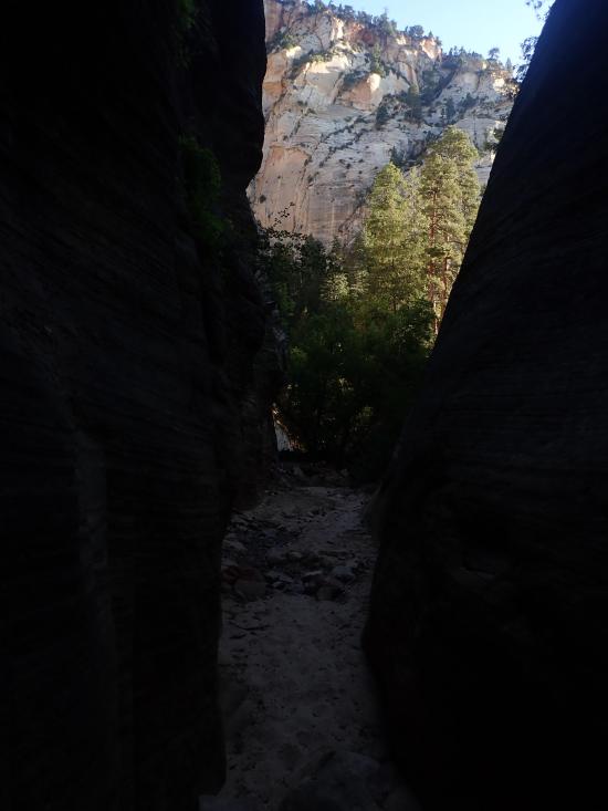
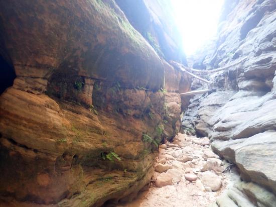
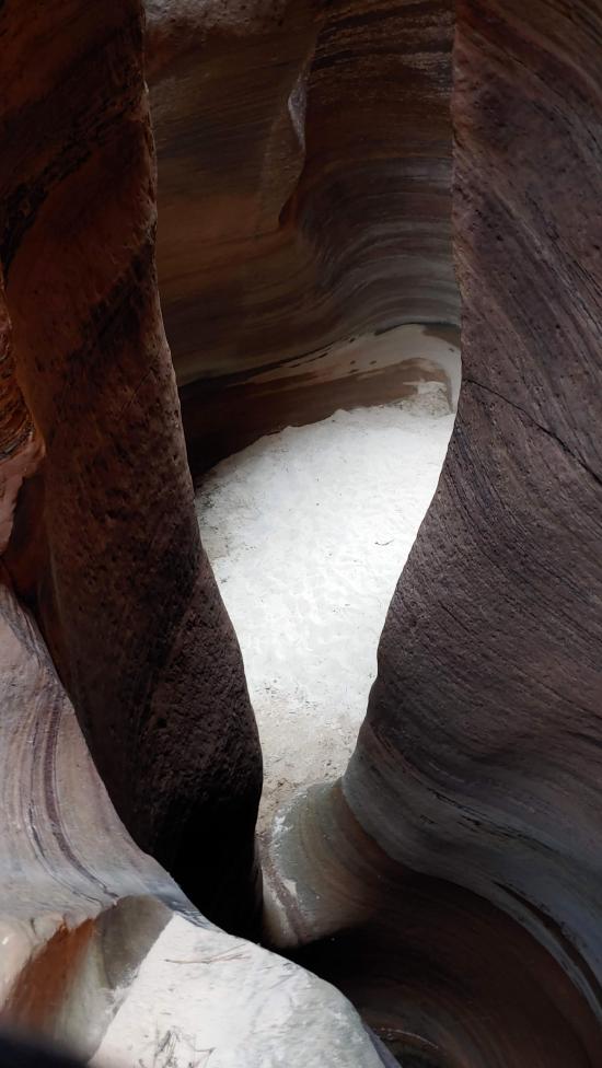
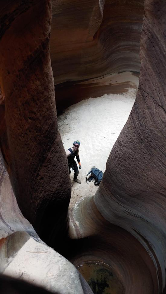
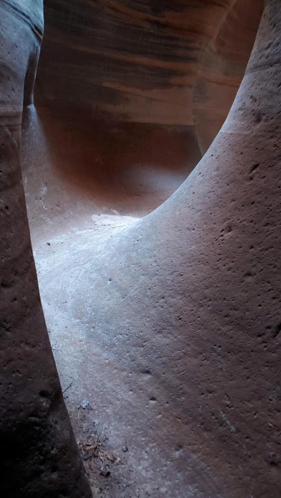
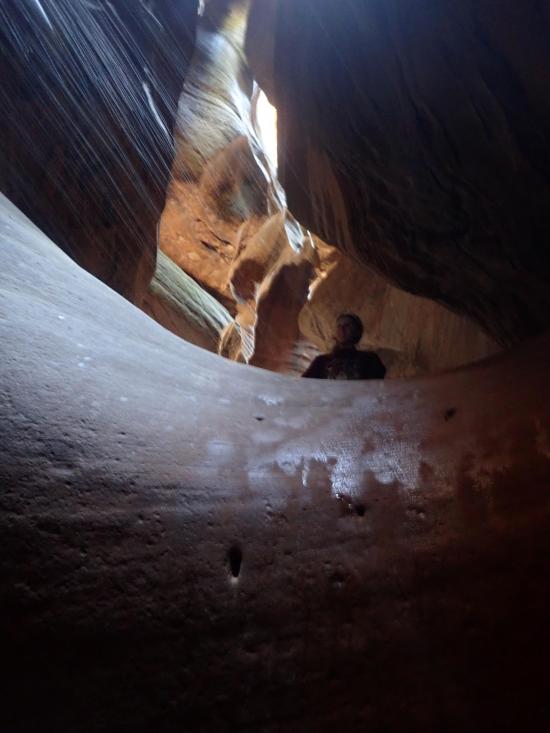
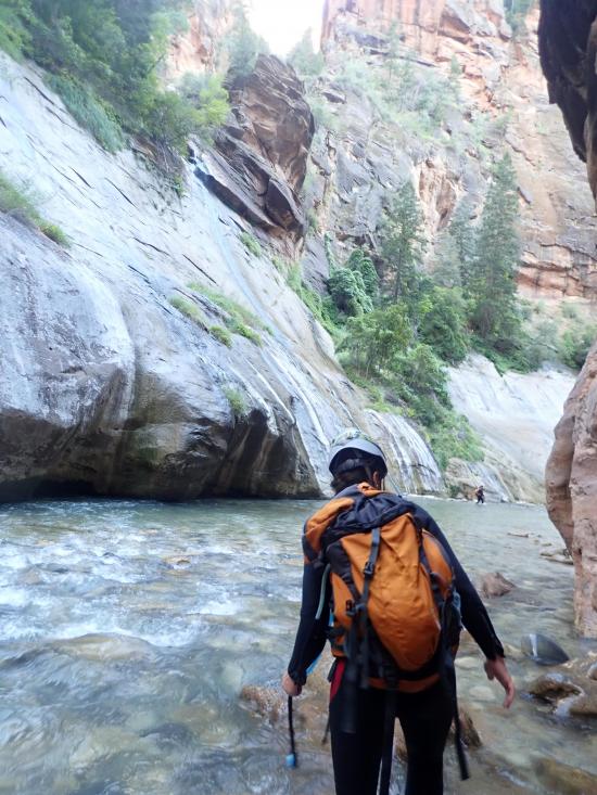
The canyon soon opens up for a scenic walking section. The walls are often covered with green moss that is very pretty.
Once you reach the start of the narrow section, you're on the home stretch. Don't become lax though because this section packs as much excitement in the last 0.1 miles as the rest of Imlay combined.
The last section boasts a seemingly endless supply of back-to-back rappels and potholes. These potholes are deep and challenging. After about 7 rappels and 4 large potholes, you'll be able to hear the Narrows.
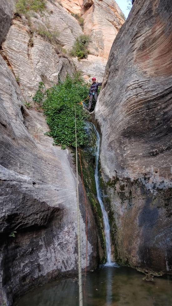
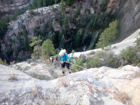
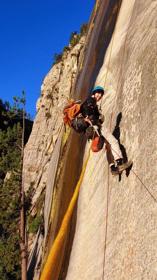
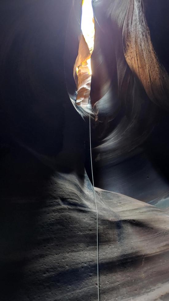
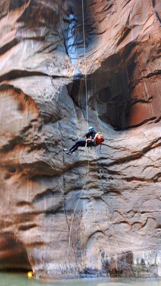
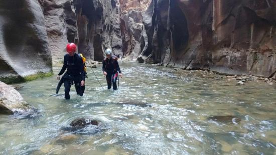
The second-to-last rappel in Imlay is my favorite. This is a long rappel down very colorful, sculpted walls. It's very photogenic from the bottom. After this rappel, you'll leave the watercourse and climb up to a ledge on the left (west) and follow the ledge over to a bolted anchor that drops you down to the Virgin River below. Lower your rope off this drop to avoid injuring one of the many people hiking the Narrows.
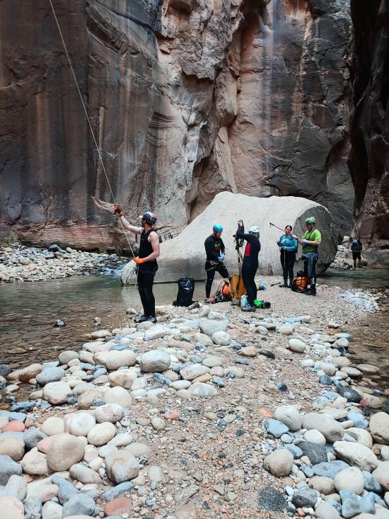
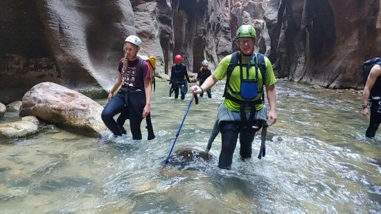
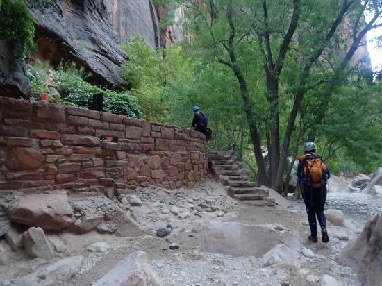
Walk down the Narrows 1.75 miles then take the Riverside Walk another 0.9 miles to the Temple of Sinawava shuttle stop.
Closest City or Region: Zion National Park
Coordinates: 37.316256, -112.962864
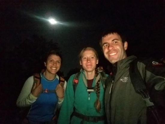
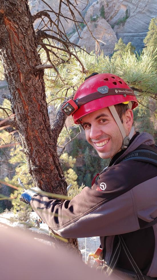
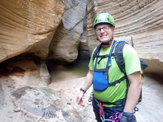
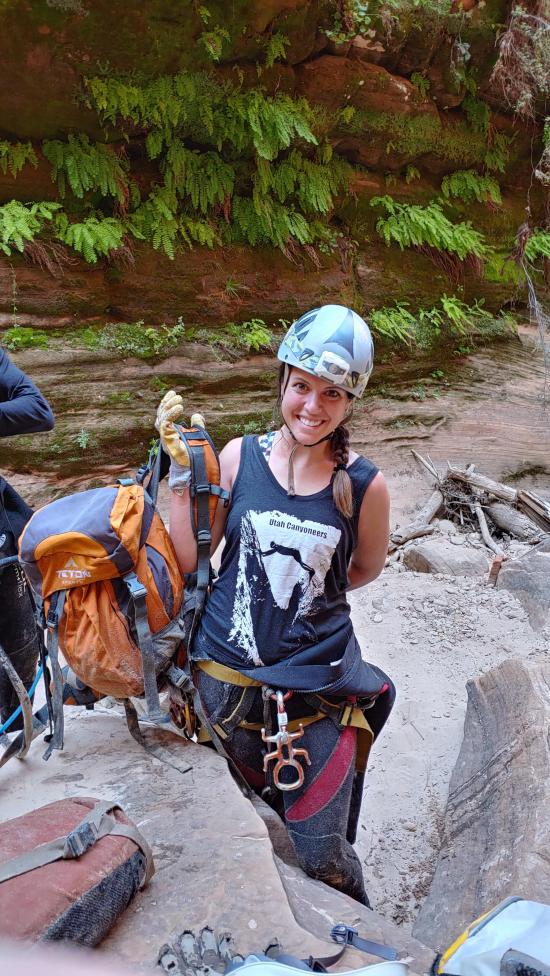
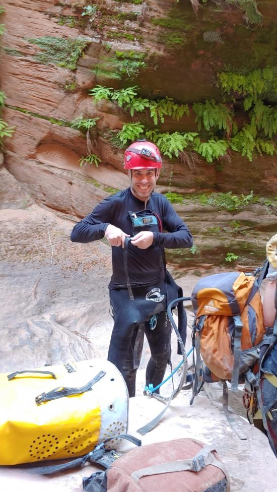
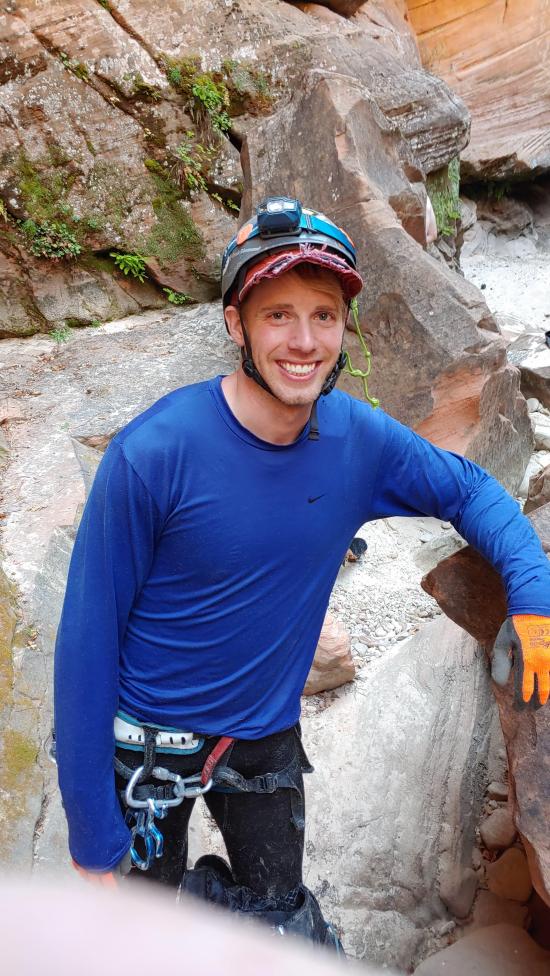
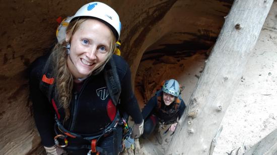
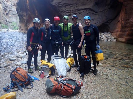
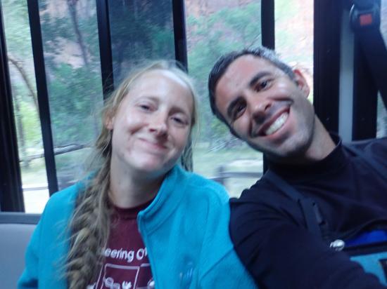
By Jeremy Dye
Jeremy Dye, Tara Dye, Ondylyn Wagner, Kevin Christensen, Ryan Baker, Jared Robertson,
West Rim Trailhead: 4:30 a.m.
Crossroads: 10:20 a.m.
Bottom of Imlay/Start of Narrows 4:45 p.m.
Temple of Sinawava Bus Stop: 7:00 p.m.
Hidden Canyon (Technical Route)
Kolob Reservoir Primitive Camping
Hidden Canyon (Technical Route)
Flaming Gorge National Recreation Area
Thunder Junction All Abilities Park
Little Black Mountain Petroglyph Site
Rosenbruch World Wildlife Museum
St. George Dinosaur Discovery Site at Johnson Farm
Zion National Park Visitor Center
 Rappels
 Downclimbs
 Swimming
 Wading
 Stemming
 Pothole Escapes - Sand Bag
 Pothole Escapes - Partner Assist
 Pothole Escapes - Aiding
 Fixed Anchors
 Wetsuit Generally Required
 No Drinking Water
 No Fires
 Arches
 Waterfalls
 Slot Canyon
 Wayfinding
 Marked Trails
 No Restrooms
 Road Access is Dirt - Low Clearance
 Access Road is 2WD Accessible
 Viewpoint, Overlooks, Vistas
 Hiking Trails
 Wildflowers and Vegitation
 Wildlife and Birding