 Canyoneering | Orderville Canyon


Hype:
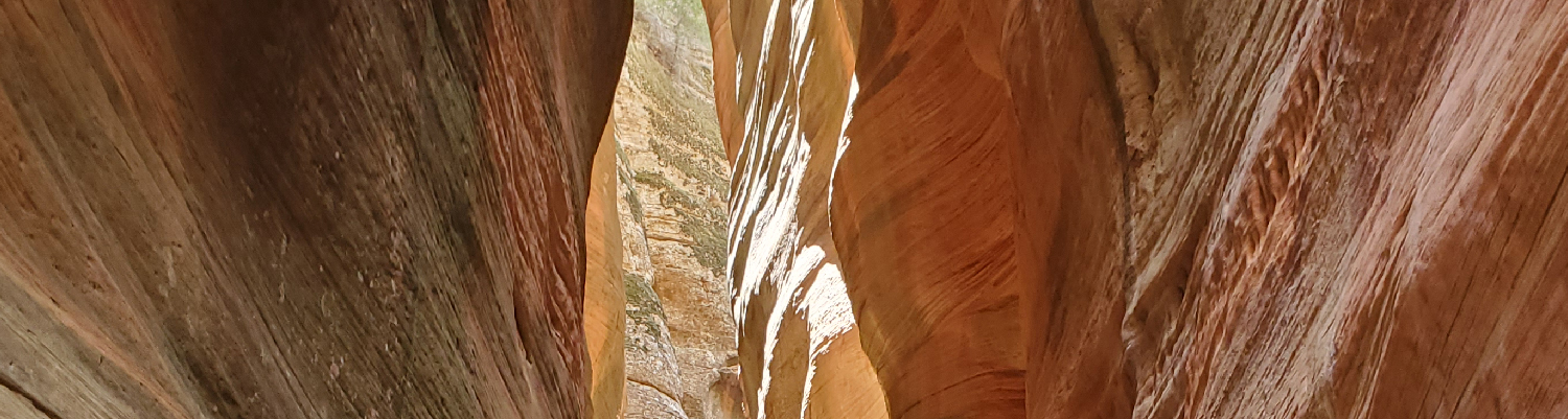
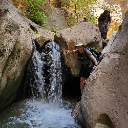
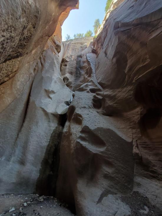
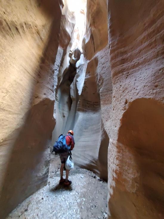
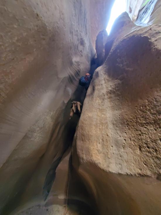
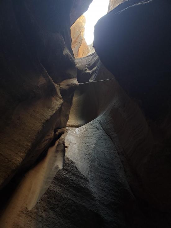
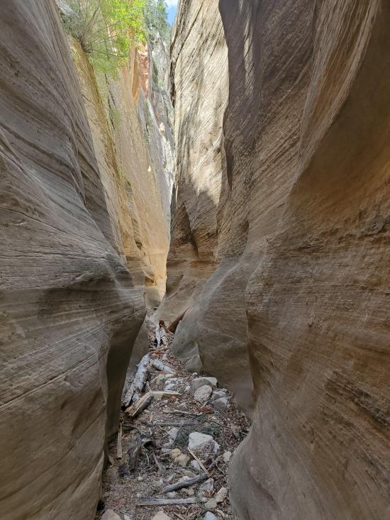
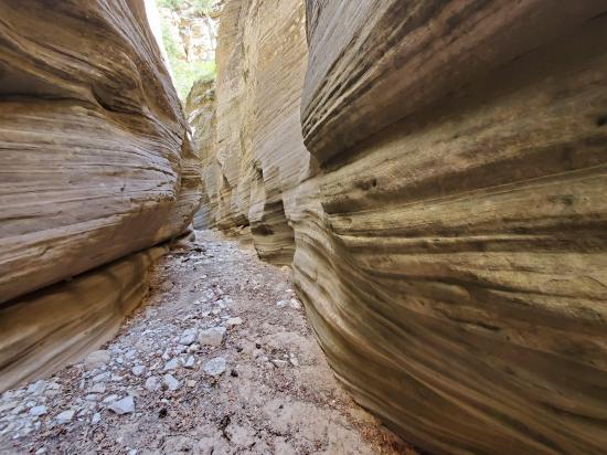
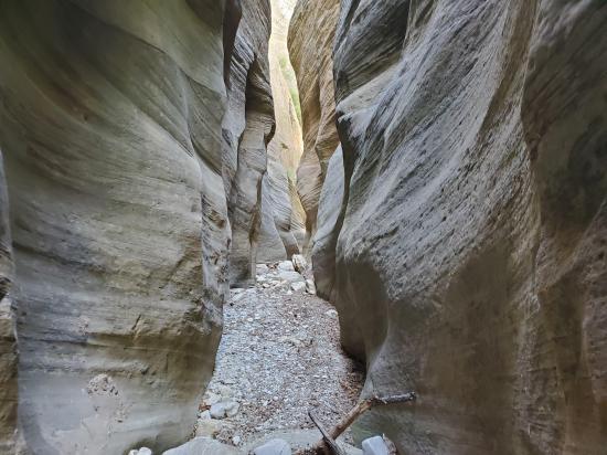
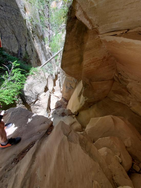
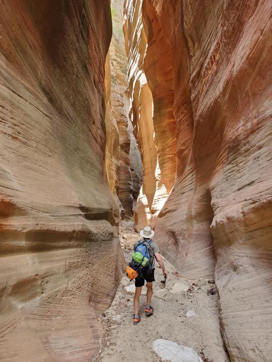
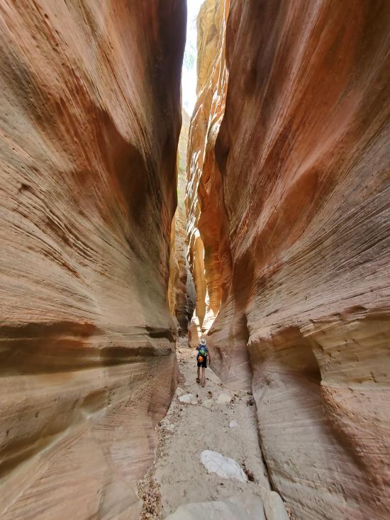
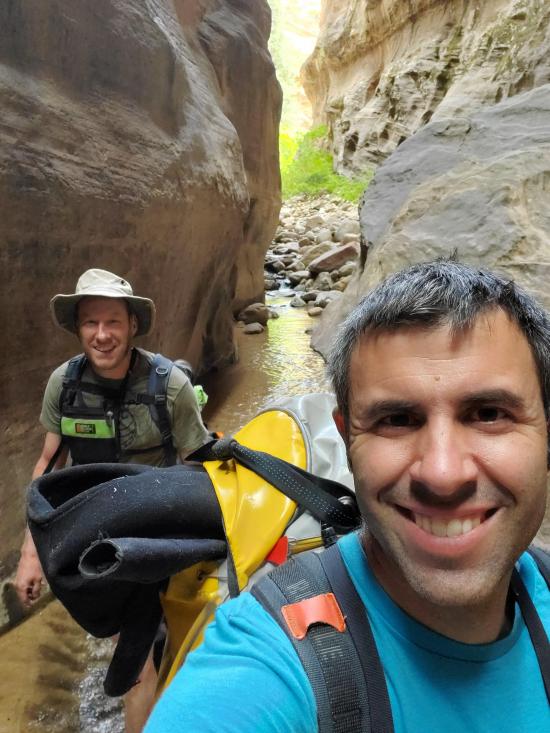
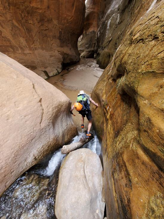
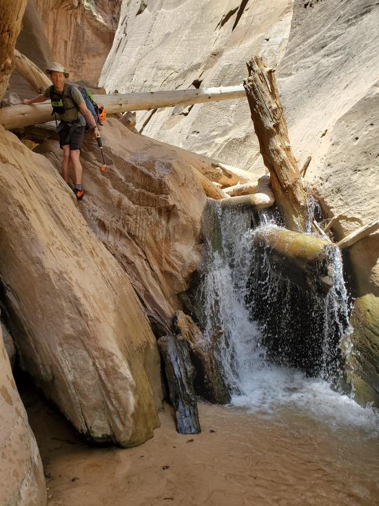
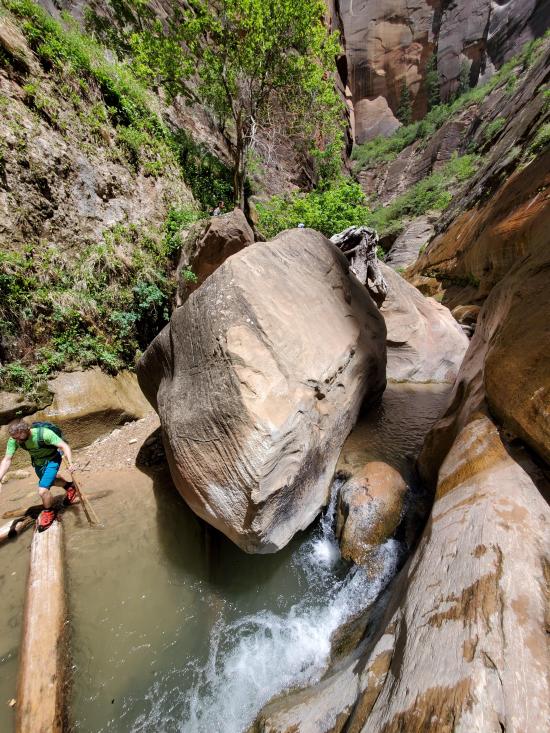
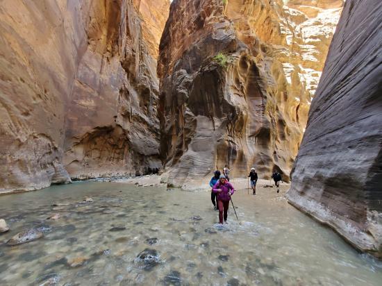
Orderville Canyon is amazing! The top 4 miles are a bit hot, dry, and ugly, but the lower section is every bit as amazing as the Narrows but with a lot fewer people. The lower section of Orderville has some small waterfalls and boulder jambs that can be tricky to navigate around.
Canyon Rating: 2C1 
Time: 6-10 hours
Length: 9.2 or 11.4 miles one way
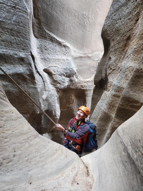
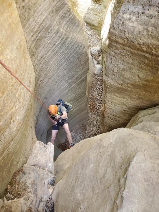
Longest Rappel: 0+
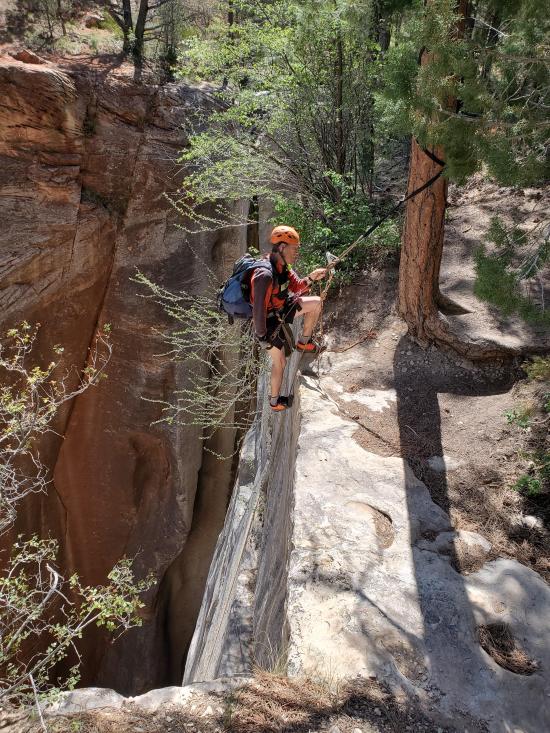
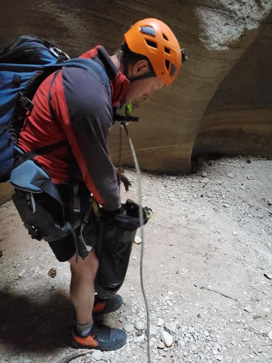
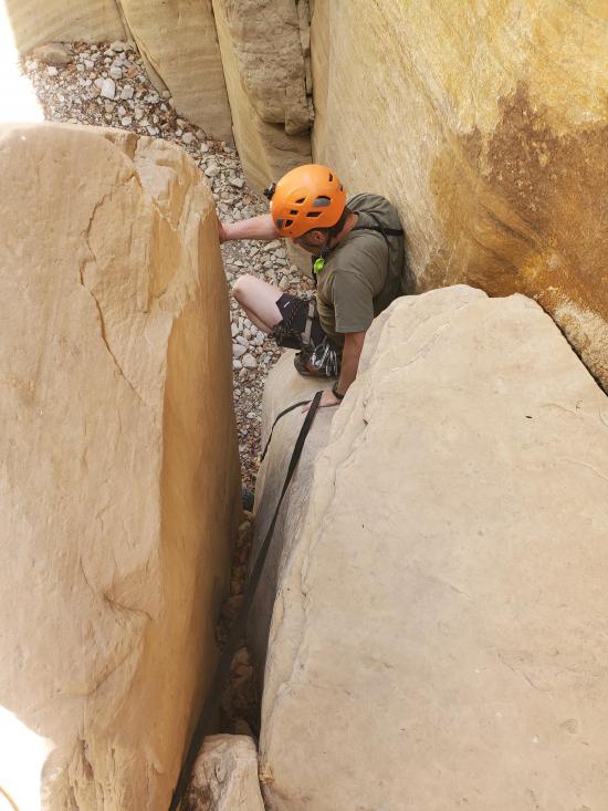
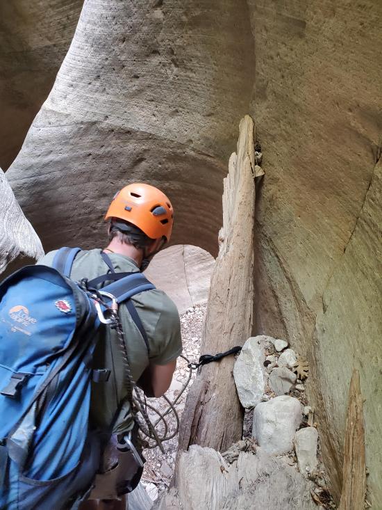
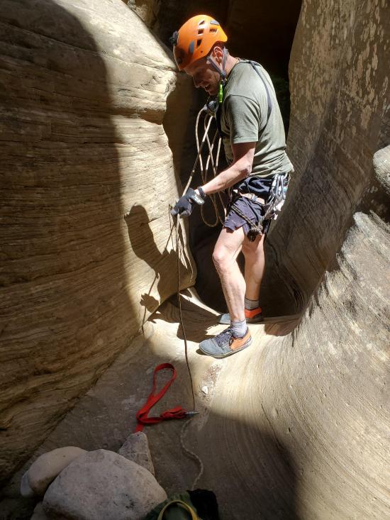
Gear: Wetsuit recommended. 1 50-foot handline is recommended for fit canyoneers. Less fit canyoneers will appreciate harnesses.
Fees: Park Entrance, Canyoneering Permit
Recommended Ages:
 | 0-3 |
 | 4-11 |
 | 12-19 |
 | 20-49 |
 | 50-69 |
 | 70+ |
Recommended Months to Visit:
| Jan |
| Feb |
| Mar |
| Apr |
| May |
| Jun |
| Jul |
| Aug |
| Sep |
| Oct |
| Nov |
| Dec |
Permits: A backcountry permit is required if hiking down Orderville from the top.
Links: https://www.roadtripryan.com/go/t/utah/zion/orderville-canyon
Navigate to 37.332516, -112.863286.
This trailhead is for the full top-down Orderville Canyon trailhead. Orderville can also be accessed from Englestead Canyon, Birch Canyon, or bottom-up from the Narrows.
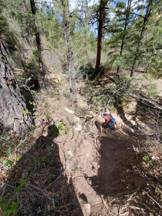
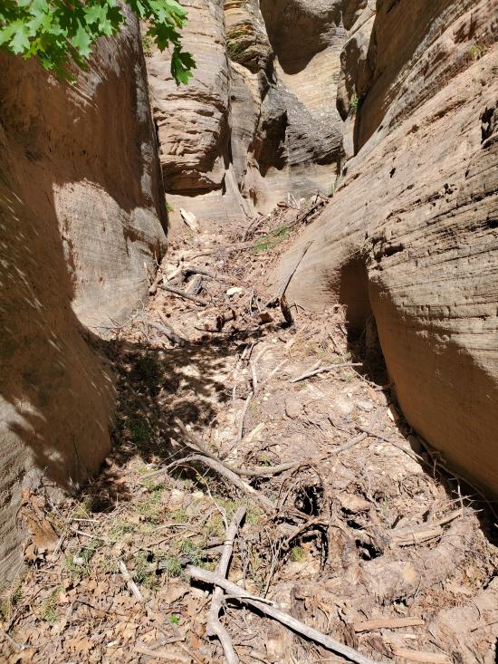
Park at either the 2WD or 4X4 trailhead. A high clearance vehicle will save you about 2.25 miles of hiking. Follow the established trail southwest. After about a mile, the canyon walls start to rise on either side of you.
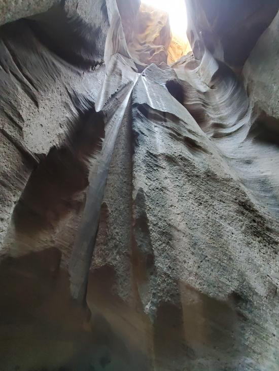
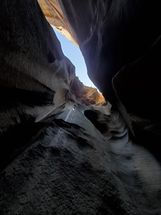
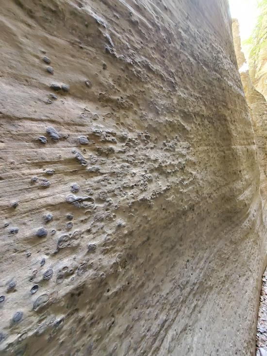
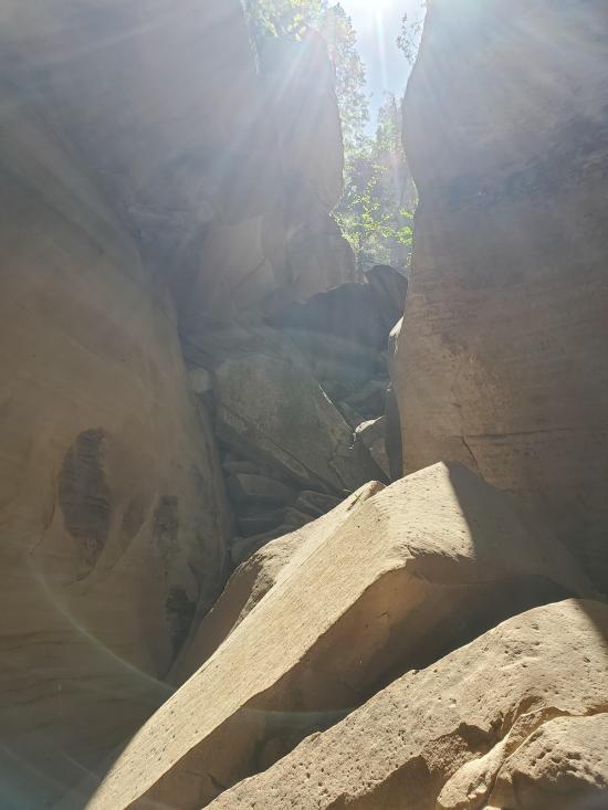
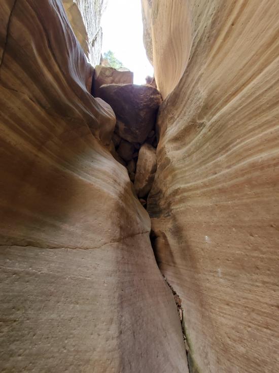
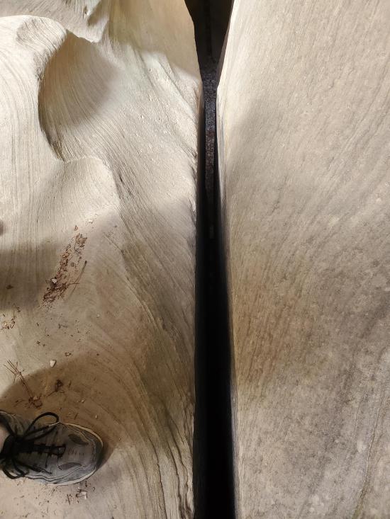
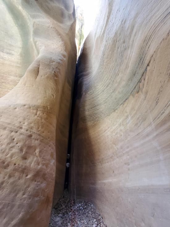
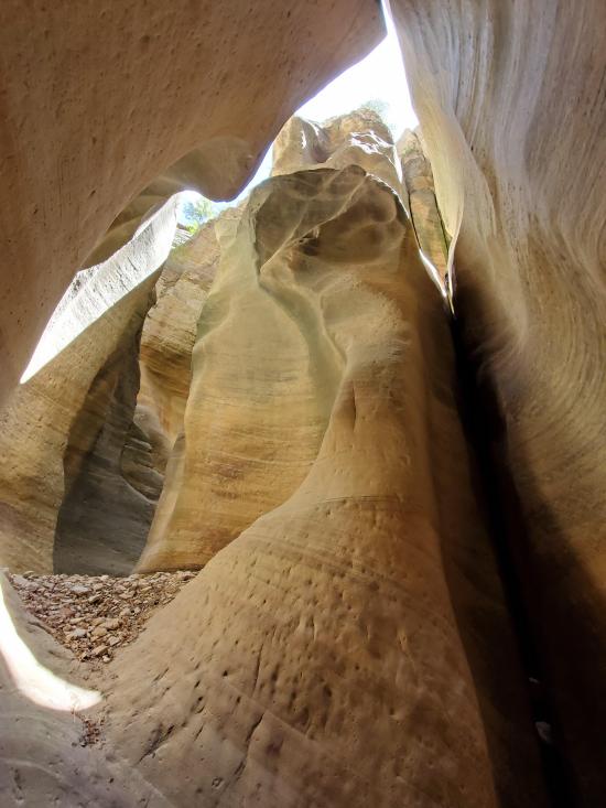
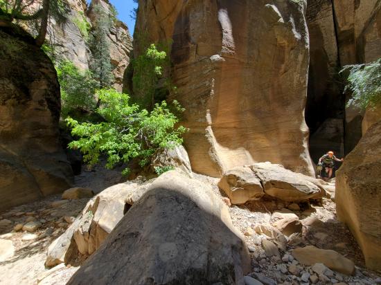
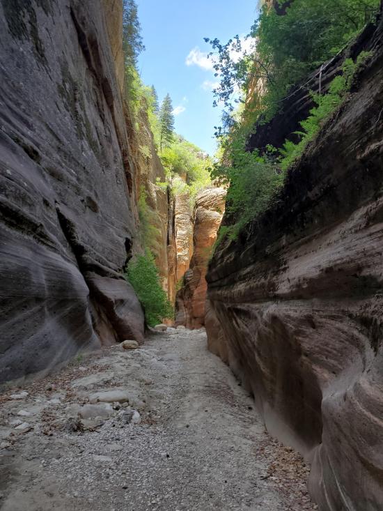
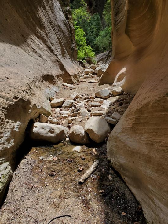
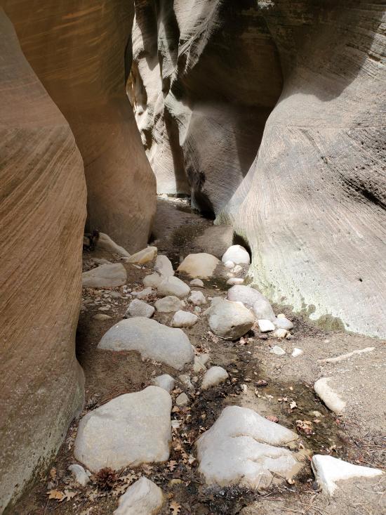
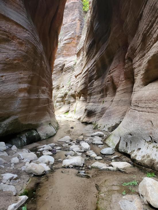
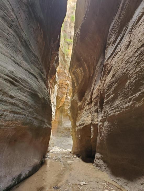
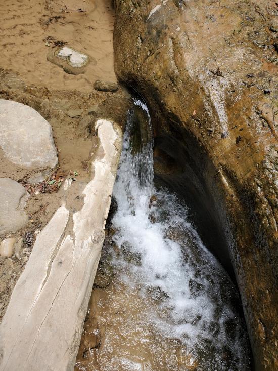
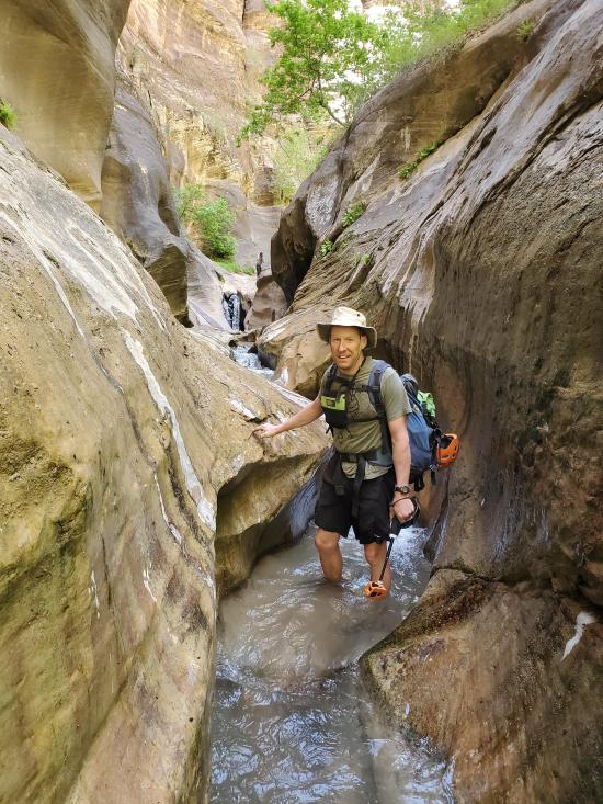
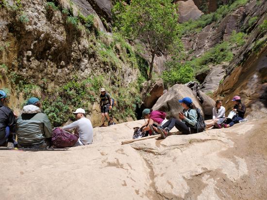
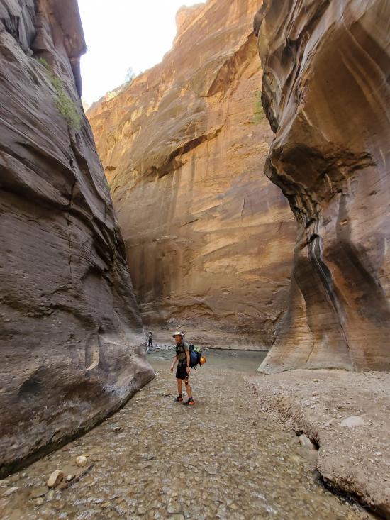
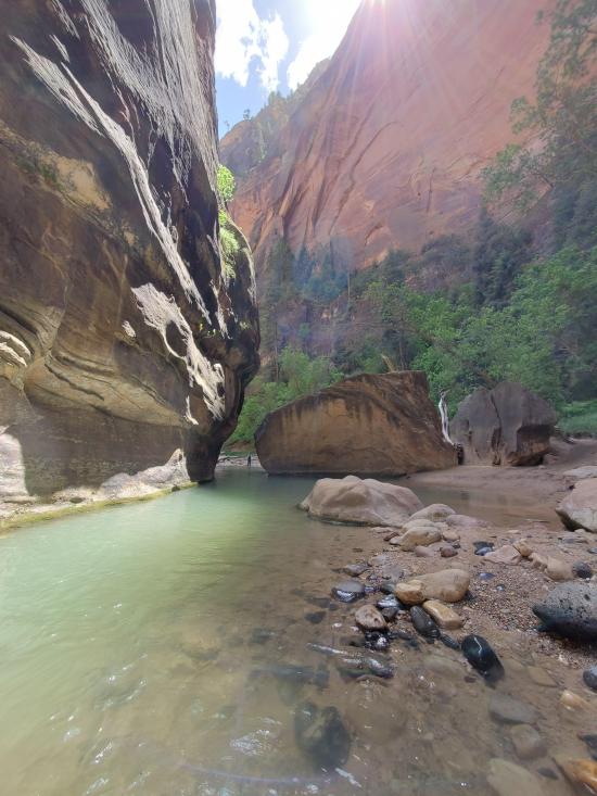
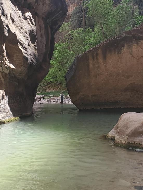
The canyon starts out shallow and gradually deepens as you go. At about 3.6 miles from the 4x4 trailhead, Englestead Canyon joins from the south. The canyon continues to deepen and become more scenic. Soon, a small stream starts to flow. By the time you reach the bottom of Orderville, the water is flowing with more volume. Near the confluence with the Narrows, you'll likely encounter people hiking up from the bottom. They rarely venture higher than the bottom waterfall though, so you'll probably have most of the hike to yourself.
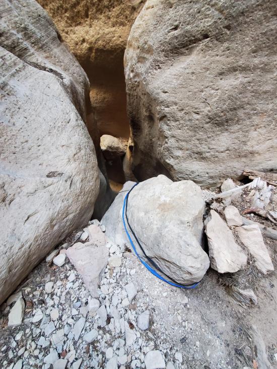
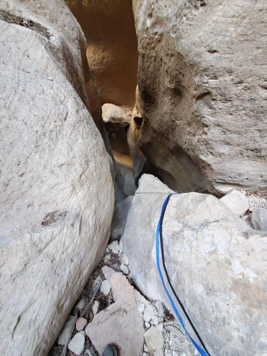
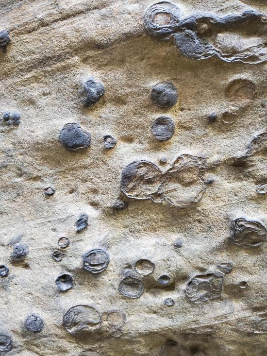
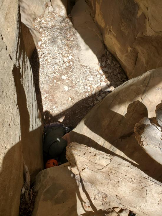
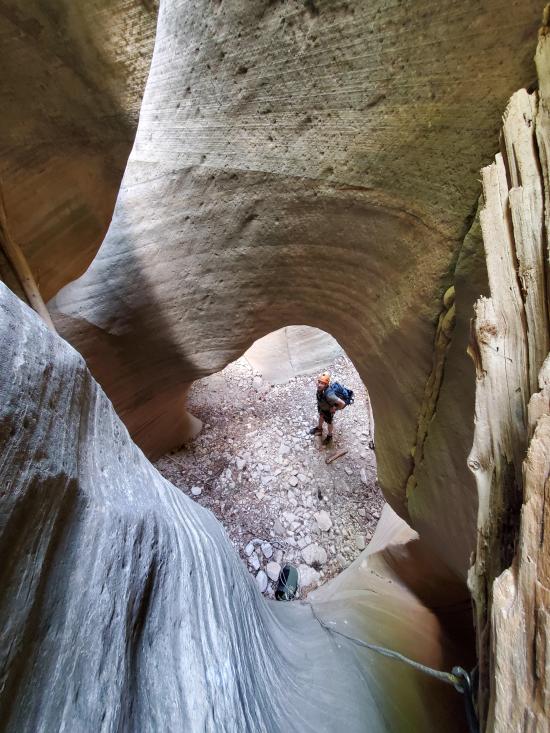
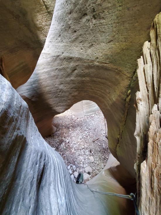
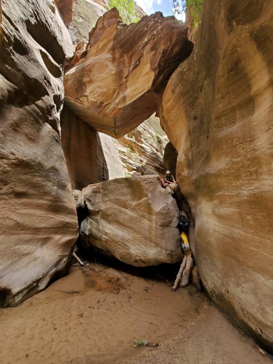
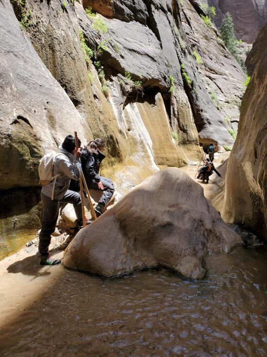
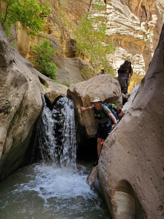
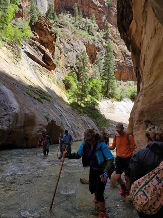
There are some nice little waterfalls and boulder jambs that spice things up a little bit. Most groups will likely get very wet here, but it is possible for more athletic canyoneering to navigate the obstacles with minimal water exposure.
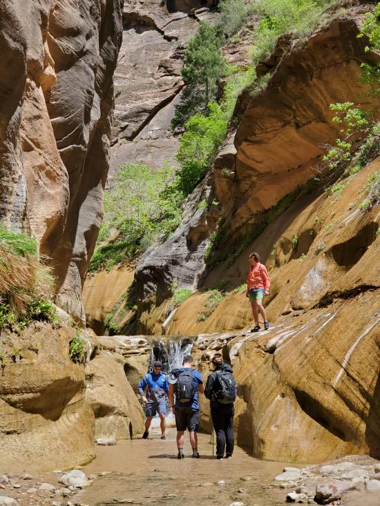
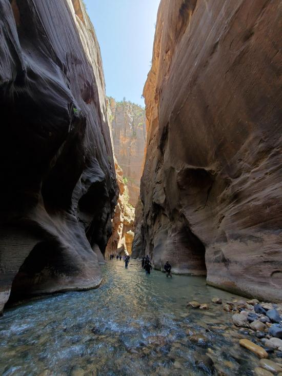
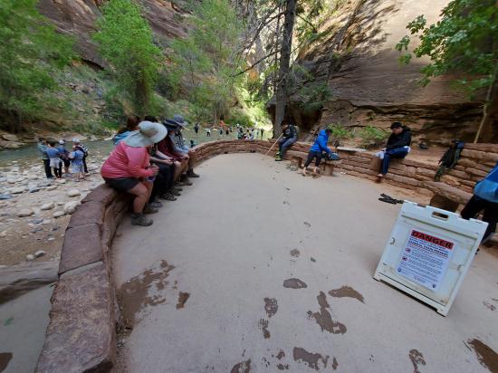
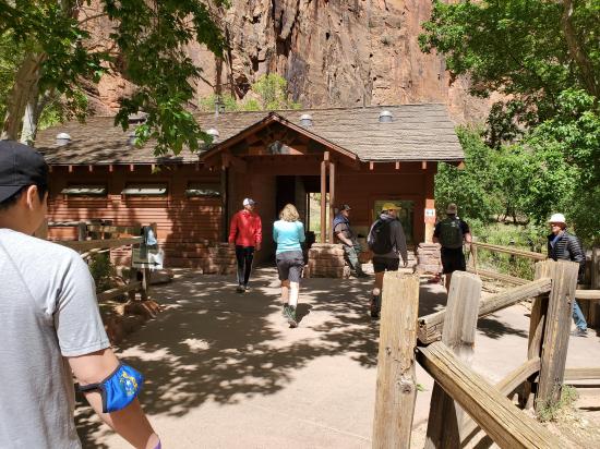
Once at the junction, continue down the Narrows for 1.5 miles then take the Riverside Walk the last 0.9 miles to the Temple of Sinawava bus stop. Most of this route involves wading in shallow water.
Closest City or Region: Zion National Park, Utah
Coordinates: 37.312353, -112.922622
By Jeremy Dye
Jeremy Dye, Dana Sherry,
10:00 - Beaver Road Trailhead
10:15 - Top of Englestead Canyon
12:15 - Bottom of Englestead Canyon
2:45 - Bottom of Orderville Canyon
3:45 - Temple of Sinawava Bus Stop
I wanted to do Heaps Canyon for my birthday weekend. I left a day earlier than the rest of the group so I could get the permit and drop off the shuttle vehicle.
Dana had a trip planned with some other friends that bailed, and he reached out to me a day or so before the trip to see if I was interested and available. It worked out perfectly. We hadn't done any canyons together before this. We met at the visitor center and picked up the permit and dropped off a shuttle vehicle. Then we drove up to the trailhead. The trailhead we used wasn't published on other canyoneering beta sites, but I found it through scoping out other roads. It ended up being a lot more direct than the other trailheads. We did the canyon without any issues and had a great time. Englestead was entirely dry, but Orderville was flowing below the confluence. We stopped for lunch at the confluence of Englestead and Orderville then continued down Orderville. We took wetsuits in our packs but never put them on.
We finished around 3:45 and caught the bus to the visitor center then picked up the shuttle vehicle and drove back to the trailhead to get the second vehicle.


 Zion National Park Visitor Center
Hidden Canyon (Technical Route)
Kolob Reservoir Primitive Camping
Hidden Canyon (Technical Route)
Flaming Gorge National Recreation Area
Thunder Junction All Abilities Park
Little Black Mountain Petroglyph Site
Rosenbruch World Wildlife Museum
St. George Dinosaur Discovery Site at Johnson Farm
Zion National Park Visitor Center
 Rappels
 Downclimbs
 Wading
 Fixed Anchors
 Wetsuit Recommended
 Non-potable Water - filterable
 Waterfalls
 Rivers and Streams
 Slot Canyon
 Wayfinding
 No Restrooms
 Road Access is Dirt - Low Clearance
 Road Access is Dirt - High Clearance
 Access Road is 2WD Accessible
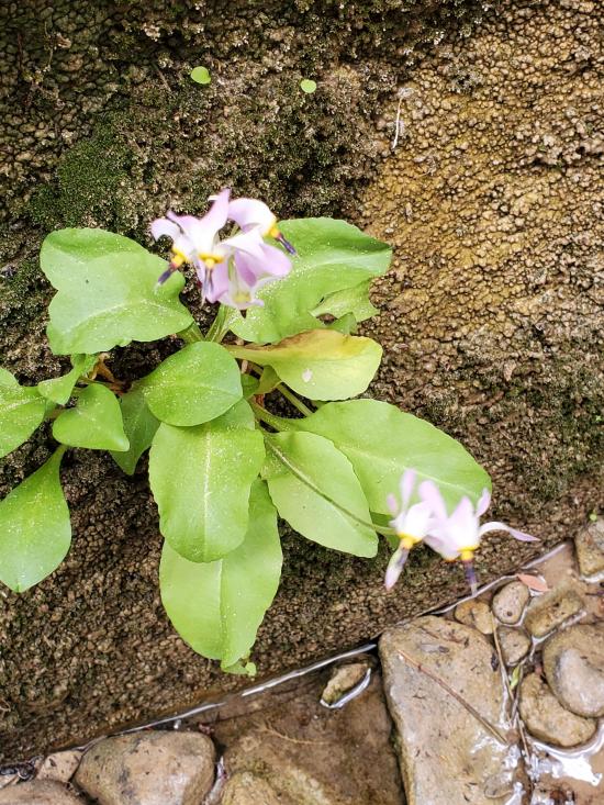
 Wildflowers and Vegitation
 Wildlife and Birding


