 Fun Places | Skyline Regional Park


Hype:
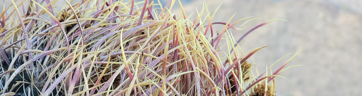
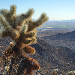
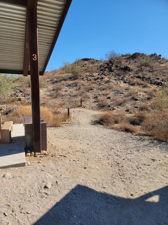
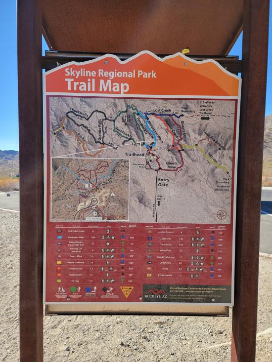
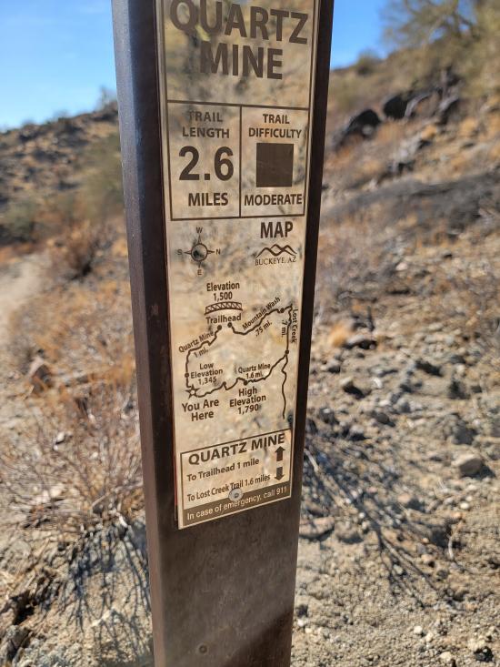
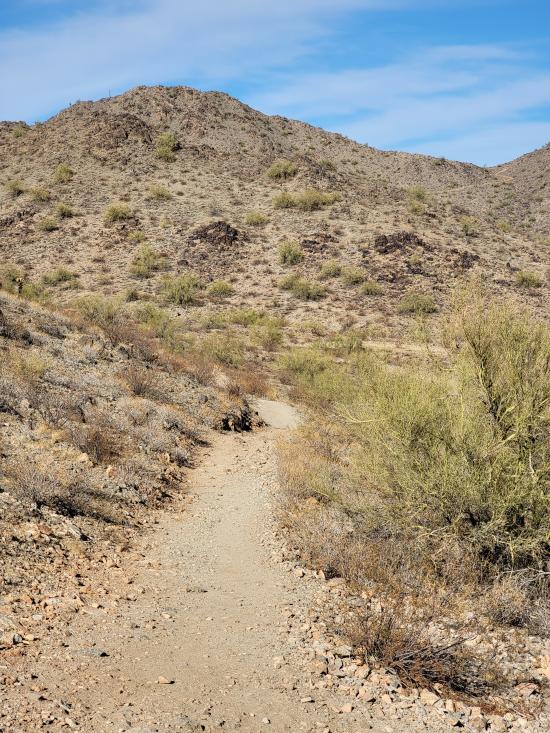
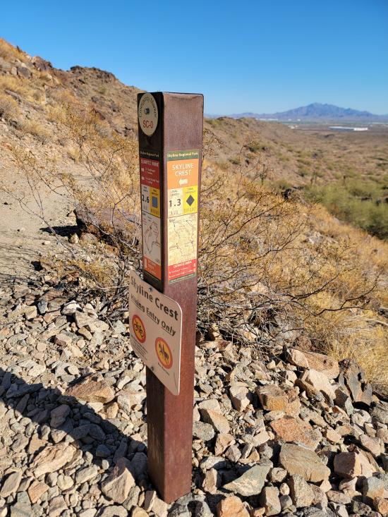
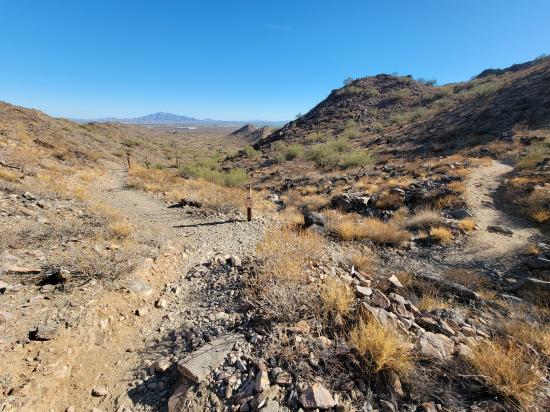
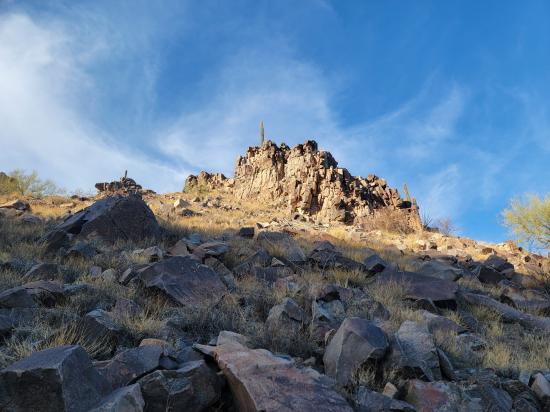
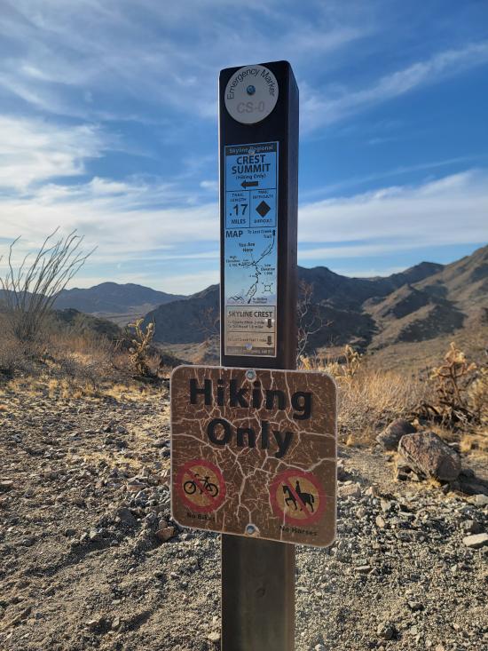
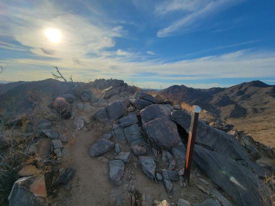
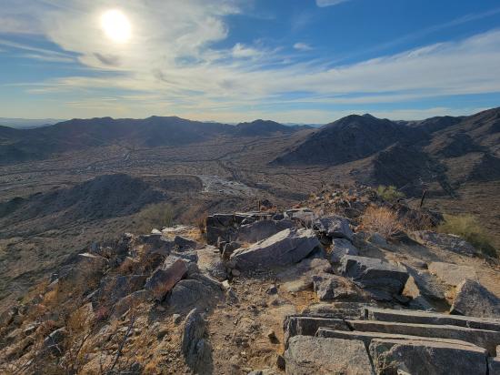
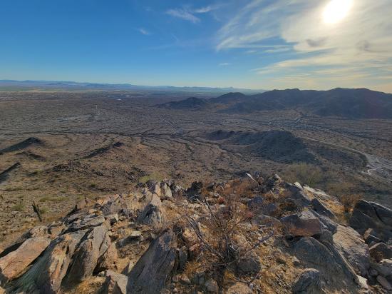
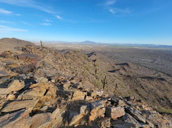
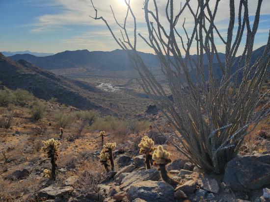
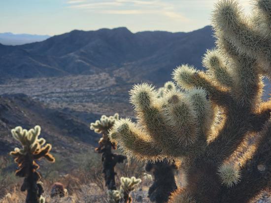
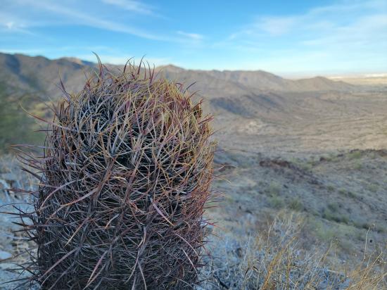
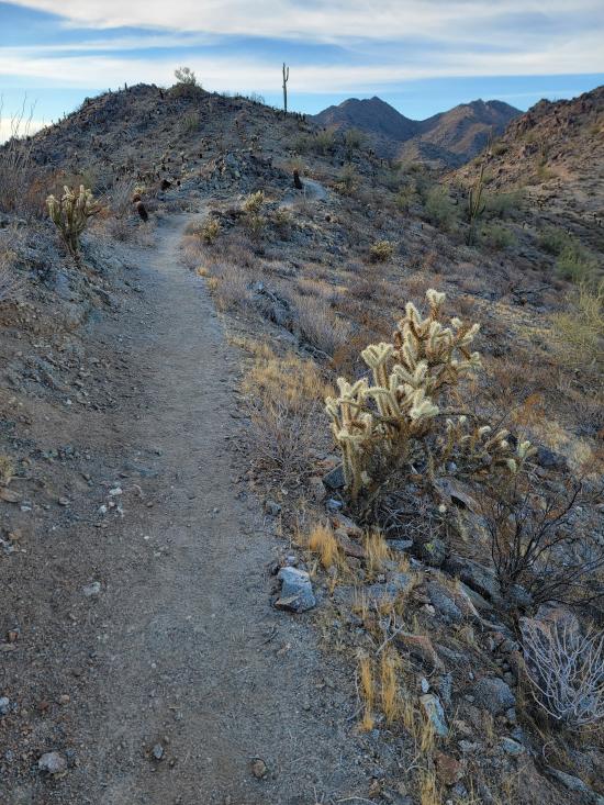
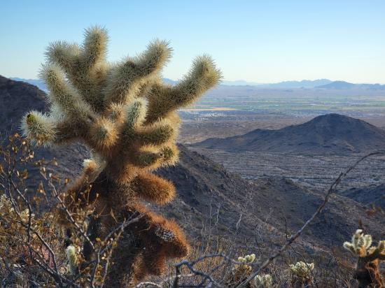
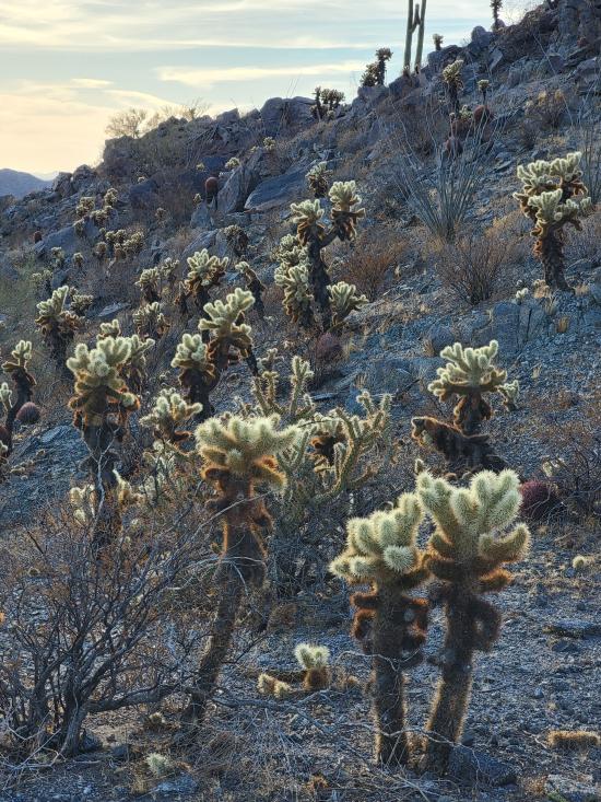
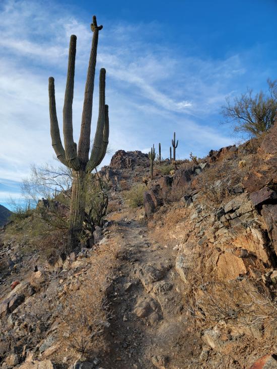
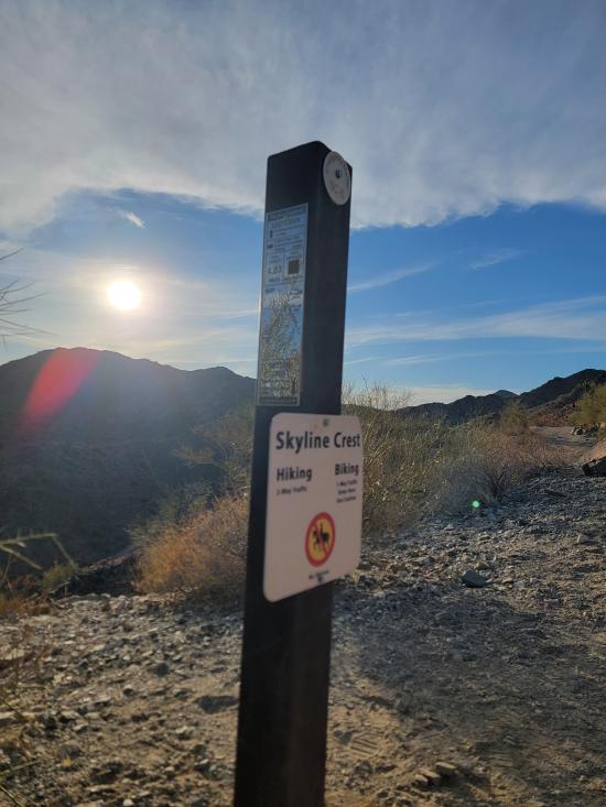
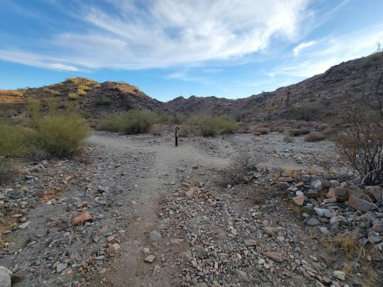
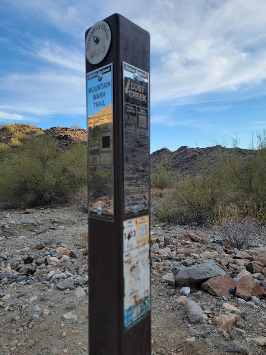
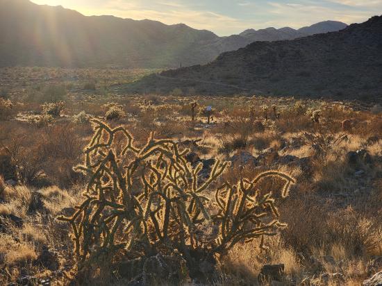
Skyline Regional Park, located in Buckeye, Arizona, is an 8,700-acre mountain preserve in the southern White Tank Mountains. The park offers over 20 miles of trails suitable for hiking, mountain biking, and horseback riding, with options ranging from easy to challenging. Notable trails include the Turnbuckle Loop Trail and Skyline Crest Trail, which lead to scenic summits like Javelina and Valley Vista, providing expansive views of the surrounding desert and distant mountain ranges. Amenities at the park include shaded picnic areas, public restrooms, and designated campsites, including an ADA-accessible site. The park trails are open daily from sunrise to sunset, and entry is free of charge. Dogs are welcome on the trails but must be kept on a leash. Skyline Regional Park is also known for its dark skies, making it a popular spot for stargazing and astronomy events.
Time:
Fees: None
Recommended Ages:
 | 0-3 |
 | 4-11 |
 | 12-19 |
 | 20-49 |
 | 50-69 |
 | 70+ |
Recommended Months to Visit:
| Jan |
| Feb |
| Mar |
| Apr |
| May |
| Jun |
| Jul |
| Aug |
| Sep |
| Oct |
| Nov |
| Dec |
Links: https://en.wikipedia.org/wiki/Skyline_Regional_Parkhttps://www.buckeyeaz.gov/community/skyline-regional-park
Closest City or Region: Buckeye, Arizona
Coordinates: 33.481594, -112.559371
By Jeremy Dye
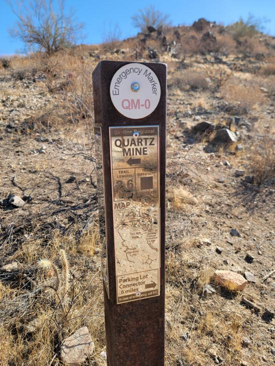
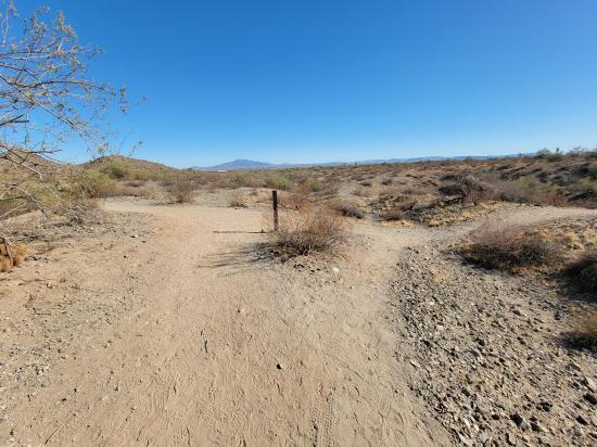
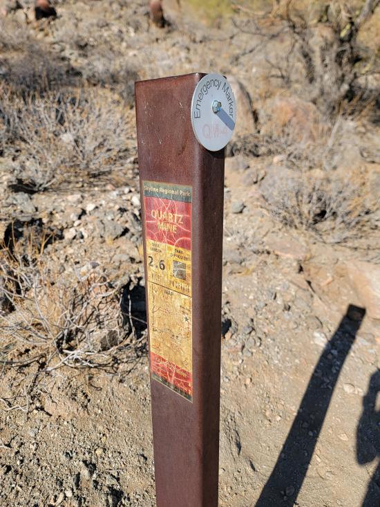
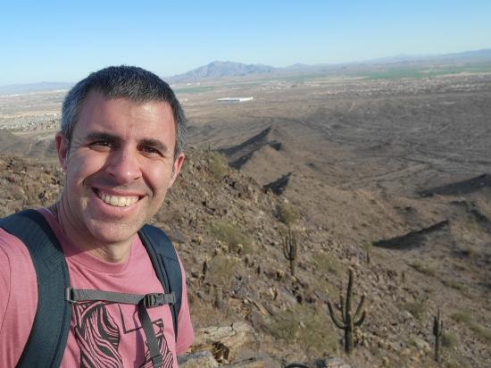
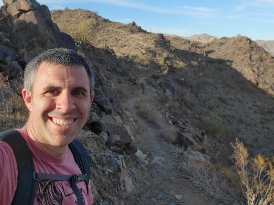
After Vulture Peak, I went to Skyline Regional Park. I hiked a loop trail up to the peak and around the mountain. That trip included portions of the Quartz Mine Trail, the Skyline Crest Trail, and the Mountain Wash Trail. As I was nearing the summit, Tara called, and we talked for most of an hour while I laid down in the shade and rested.
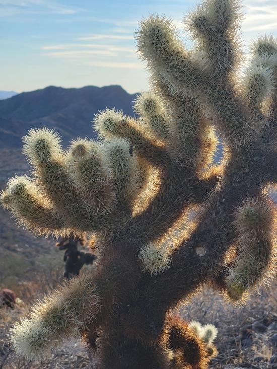
Still at Skyline Regional Park, I walked around the Red-tailed Hawk Interpretive Trail. They had a bunch of interpretive signs of the different desert plants and animals. I liked the information but did not like that the trail required you to backtrack lots of sections in order to see everything because there was no continuous loop through everything.


 Mystery Castle by Boyce Luther Gulley [CLOSED]
 Holbert Trail to Dobbins Lookout
Red Tailed Hawk Interpretive Trail
Historic Heritage Square Audio Tour
 Local Park
 Potable Water
 Mountains
 Desert
 Picnic Tables
 Pavilions
 Restrooms - Flush
 Road Access is Paved
 Access Road is 2WD Accessible
 Interpretive Signs
 Hiking Trails
 Bike Trails
 Horse Riding
 Pets Allowed
 Wildflowers and Vegitation
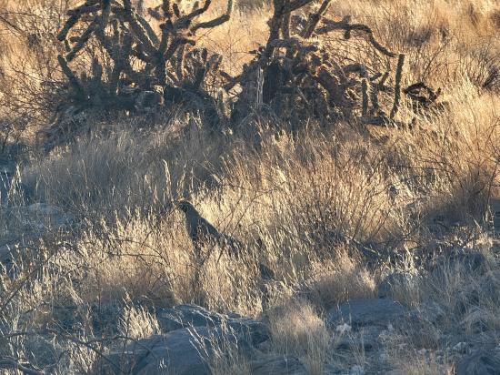
 Wildlife and Birding