 Hiking | Skyline Crest Trail


Hype:
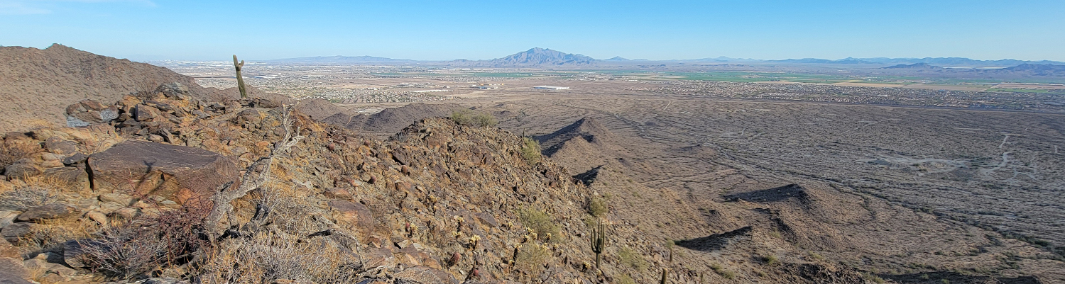
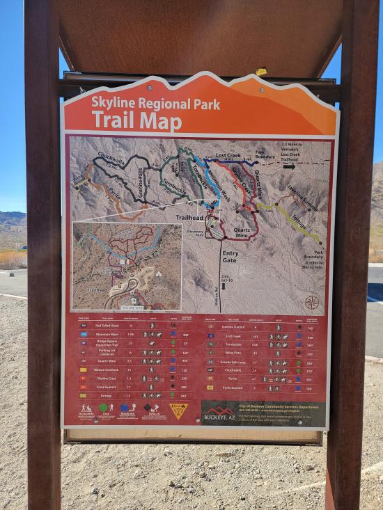
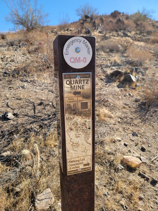
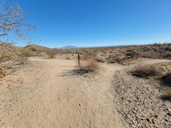
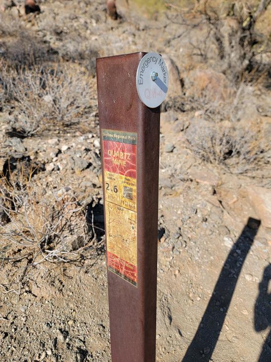
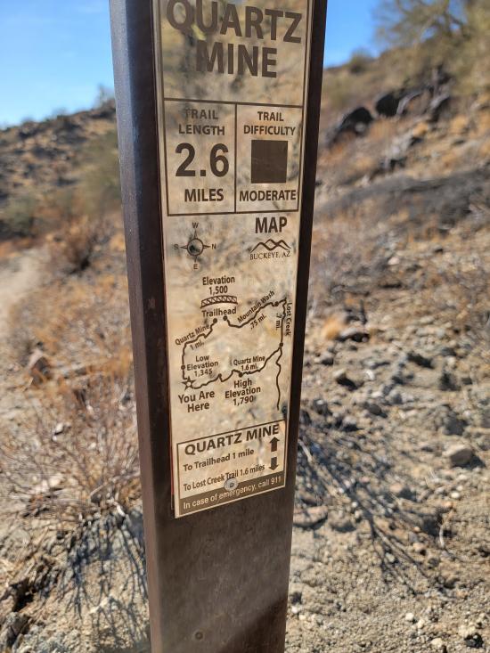
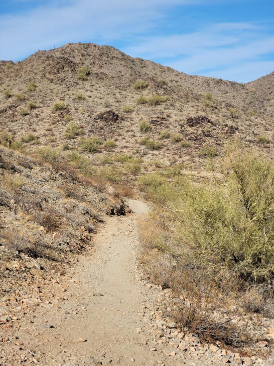
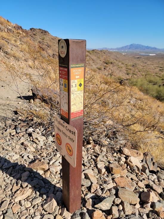
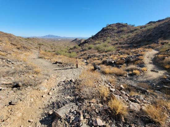
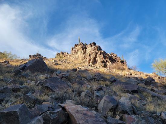
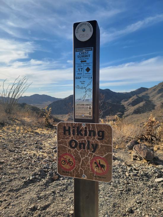
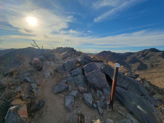
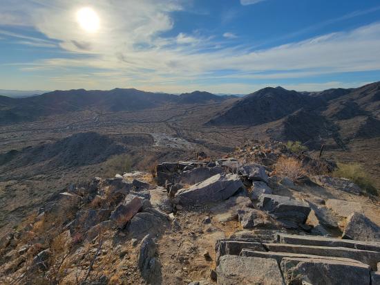
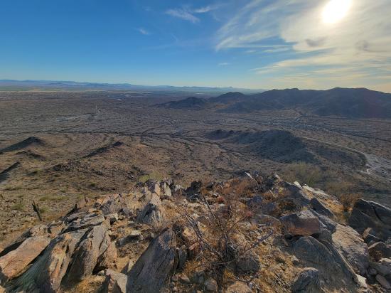
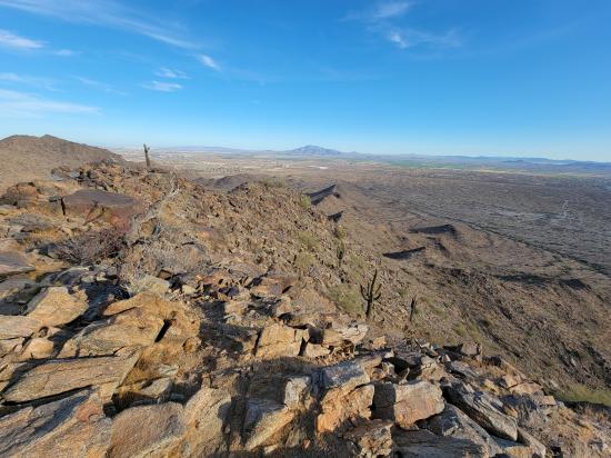
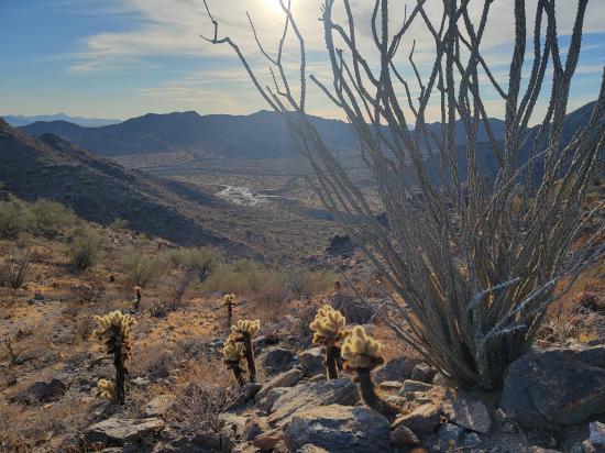
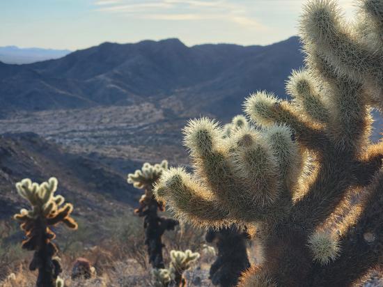
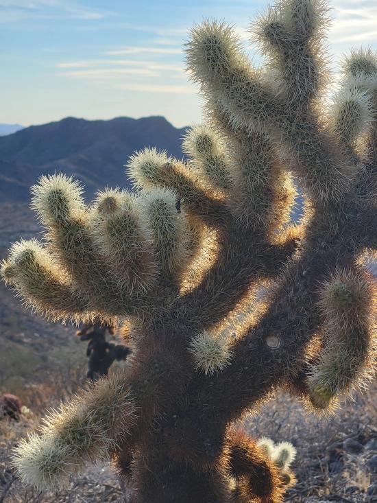
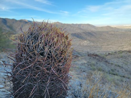
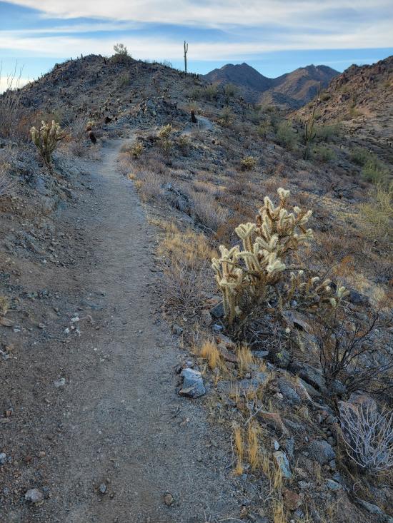
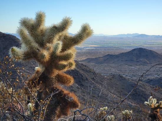
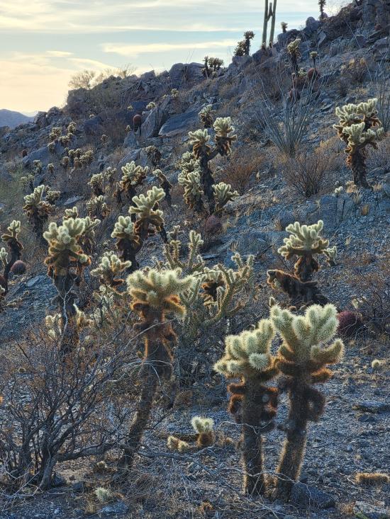
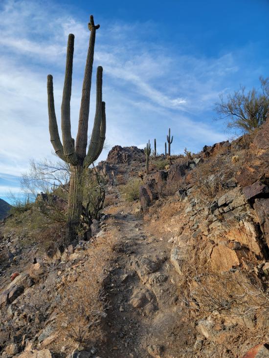
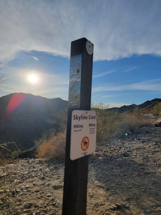
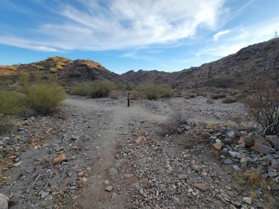
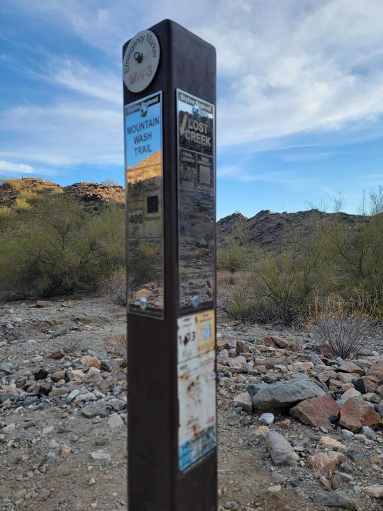
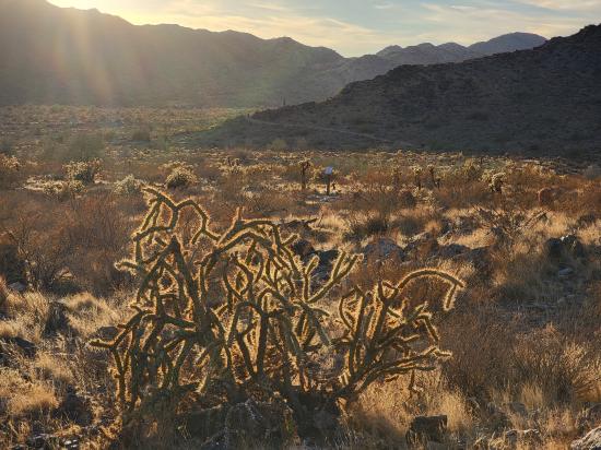
The Skyline Crest Trail in Skyline Regional Park, Buckeye, Arizona, offers a scenic 1.3-mile ridgeline hike that provides panoramic views of the Sonoran Desert and surrounding mountain ranges. Accessible via the Quartz Mine Trail, the route begins with a series of switchbacks. A short spur to Crest Summit at an elevation of 2,110 ft rewards hikers with expansive vistas of the Sierra Estrella Mountains, Gila Bend Mountains, and the Hassayampa Plain. The trail then follows the ridge before descending to connect with the Lost Creek Trail, allowing for various loop options by linking with the Mountain Wash or Quartz Mine Trails. Rated as moderately challenging, the trail features rocky terrain and limited shade, making early morning hikes advisable, especially during warmer months. Dogs are permitted on the trail but must be leashed. The park is open daily from sunrise to sunset, with no entry fee required.
Trail Condition: Class 2 (Trail may have tree roots or rocks jutting out. Navigation skills may consist of following rock cairns and choosing turns at junctions. Elevation gains may be more substantial.)
Time: 30-60 minutes
Length: 1.3 miles one way, connecting to adjacent trails. Optional 0.21 mile spur trail up to Crest Summit.
Elevation Gain: +707 ft, -305 ft
Fees: None
Recommended Ages:
 | 0-3 |
 | 4-11 |
 | 12-19 |
 | 20-49 |
 | 50-69 |
 | 70+ |
Recommended Months to Visit:
| Jan |
| Feb |
| Mar |
| Apr |
| May |
| Jun |
| Jul |
| Aug |
| Sep |
| Oct |
| Nov |
| Dec |
Closest City or Region: Skyline Regional Park, Buckeye, Arizona
Coordinates: 33.482141, -112.552738
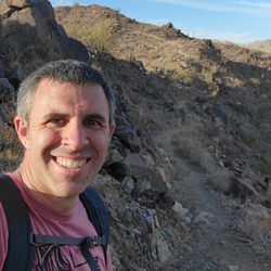
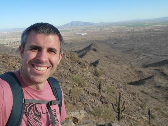
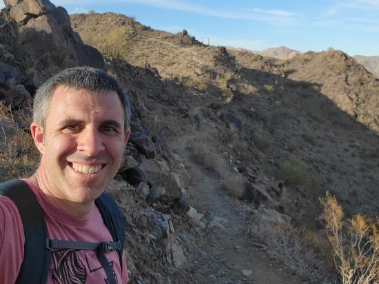
By Jeremy Dye
After Vulture Peak, I went to Skyline Regional Park. I hiked a loop trail up to the peak and around the mountain. That trip included portions of the Quartz Mine Trail, the Skyline Crest Trail, and the Mountain Wash Trail. As I was nearing the summit, Tara called, and we talked for most of an hour while I laid down in the shade and rested.
Still at Skyline Regional Park, I walked around the Red-tailed Hawk Interpretive Trail. They had a bunch of interpretive signs of the different desert plants and animals. I liked the information but did not like that the trail required you to backtrack lots of sections in order to see everything because there was no continuous loop through everything.


 Mystery Castle by Boyce Luther Gulley [CLOSED]
 Holbert Trail to Dobbins Lookout
Red Tailed Hawk Interpretive Trail
Historic Heritage Square Audio Tour
 Hiking Trails
 Marked Trails
 Desert
 Mountains
 No Drinking Water
 No Restrooms
 Road Access is Paved
 Access Road is 2WD Accessible
 Viewpoint, Overlooks, Vistas
 Pets Allowed
 Wildflowers and Vegitation
 Wildlife and Birding
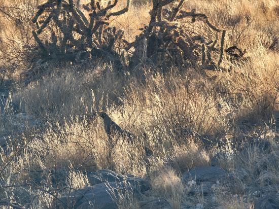