 Hiking | Lost Creek Trail


Hype:
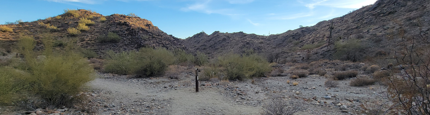
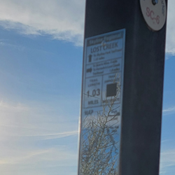
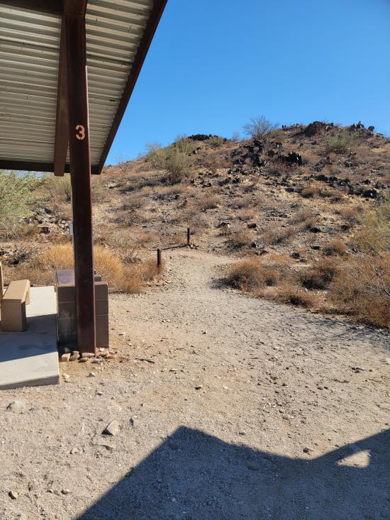
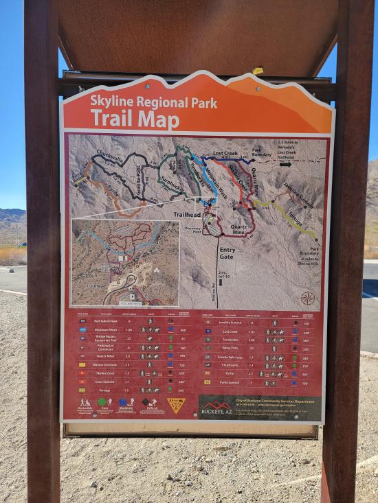
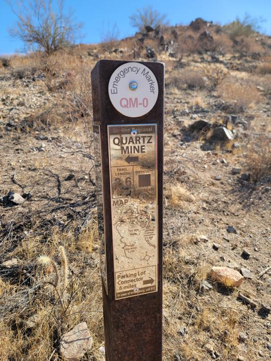
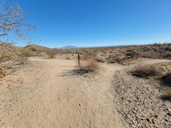
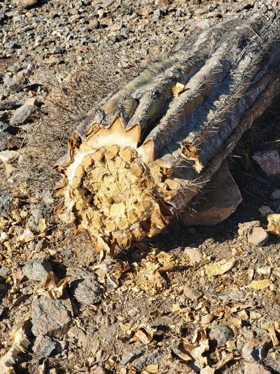
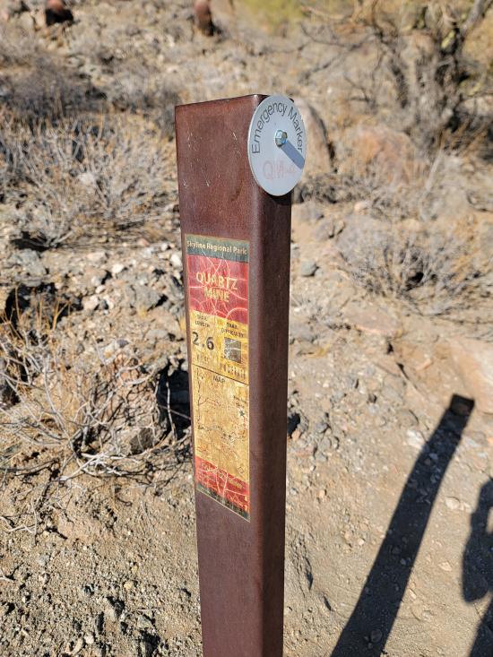
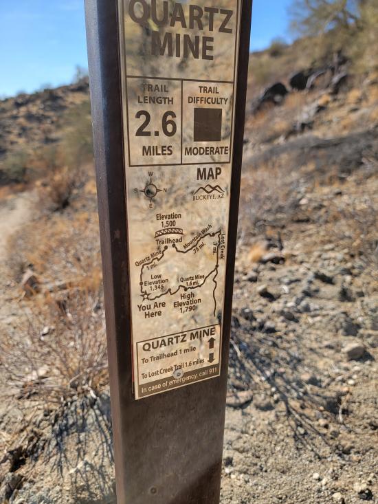
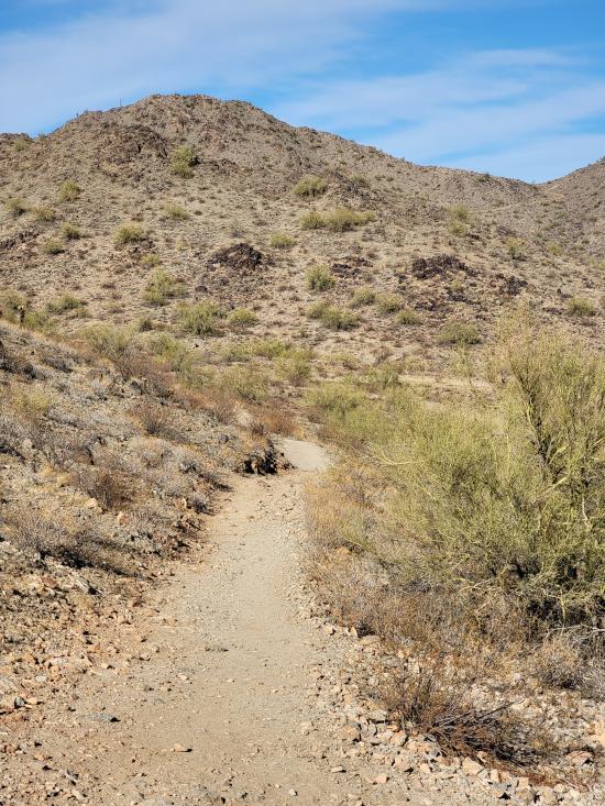
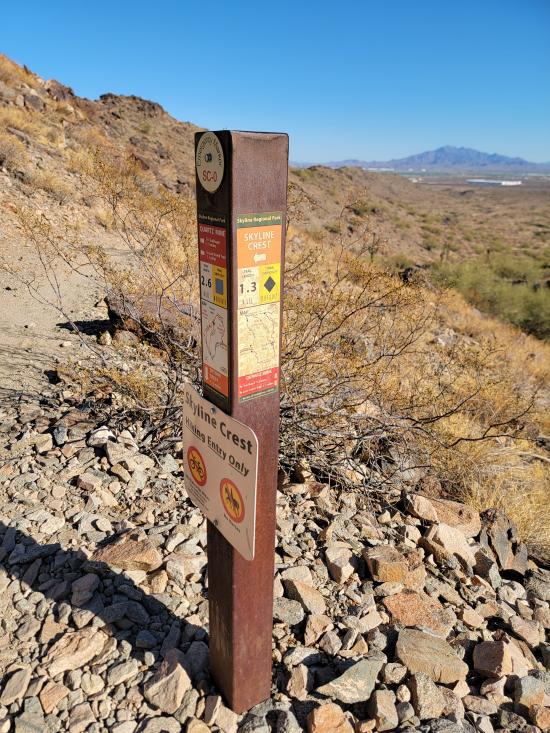
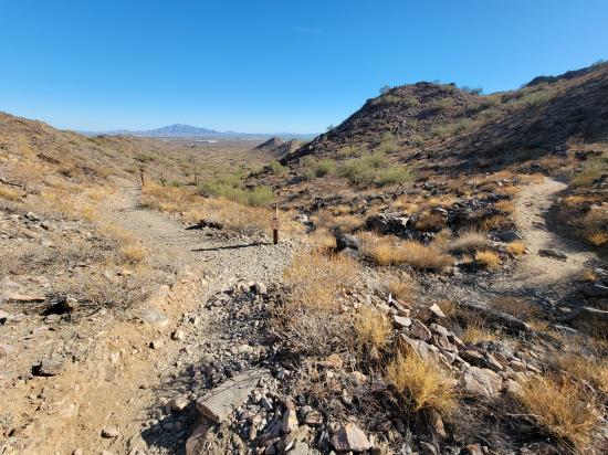
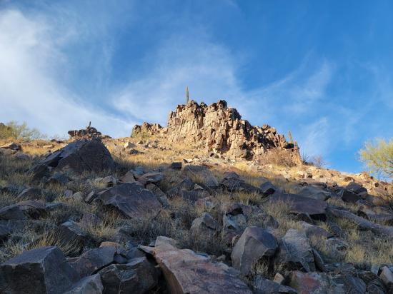
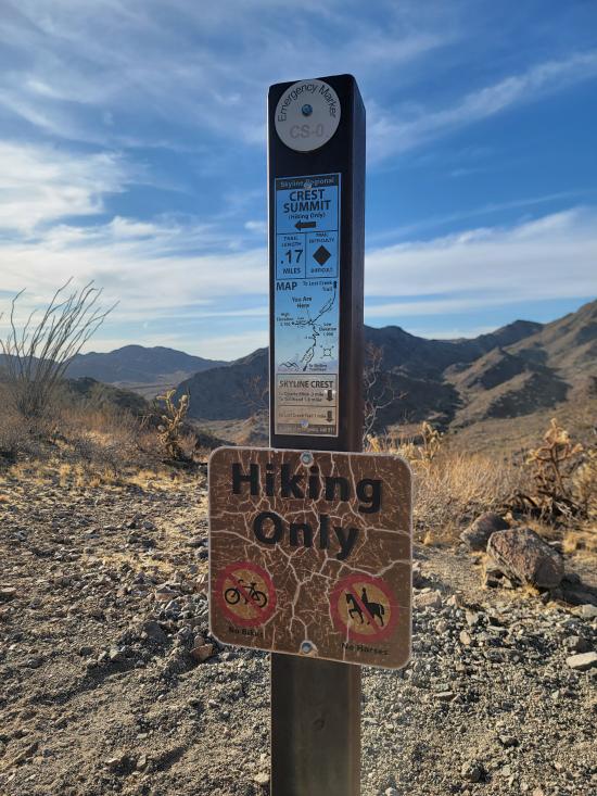
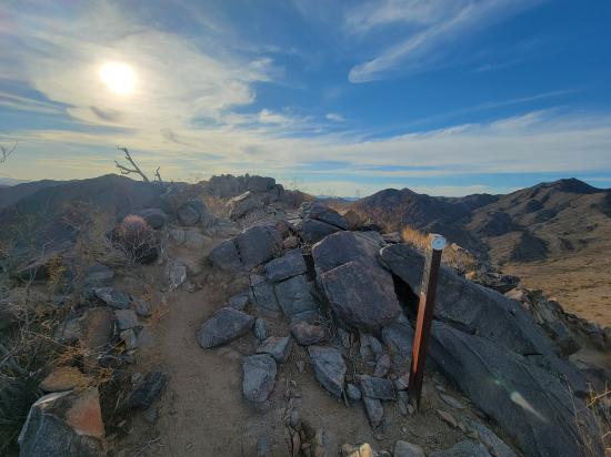
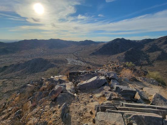
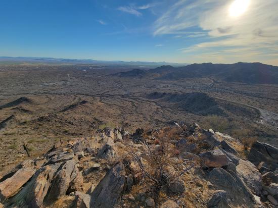
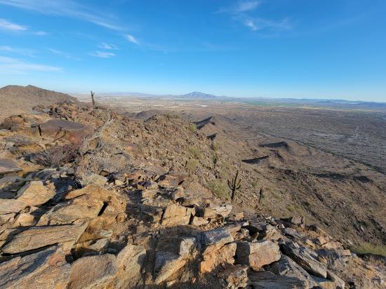
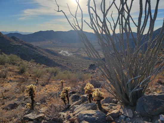
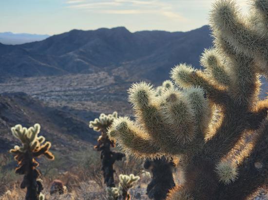
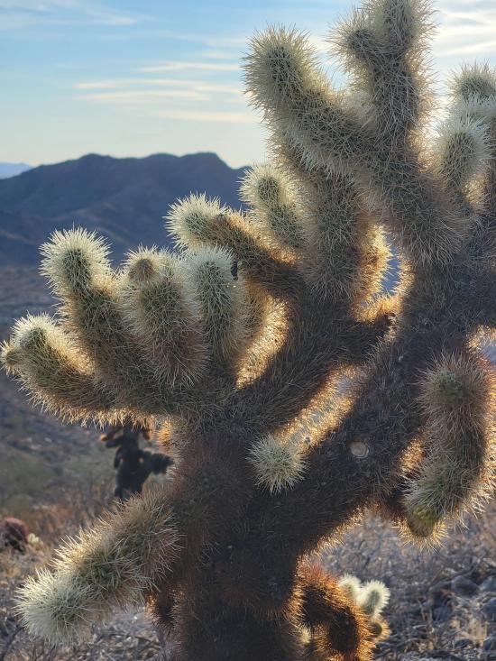
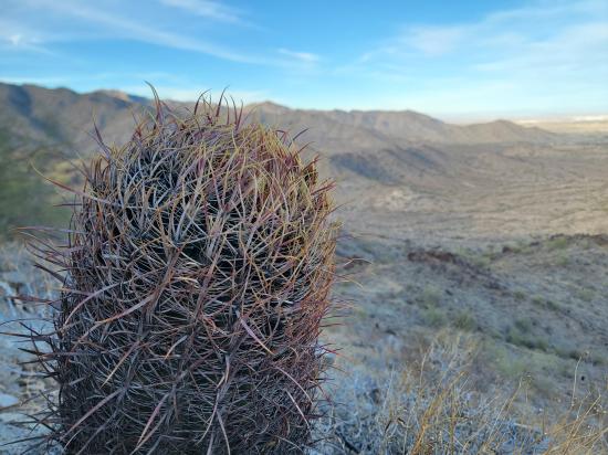
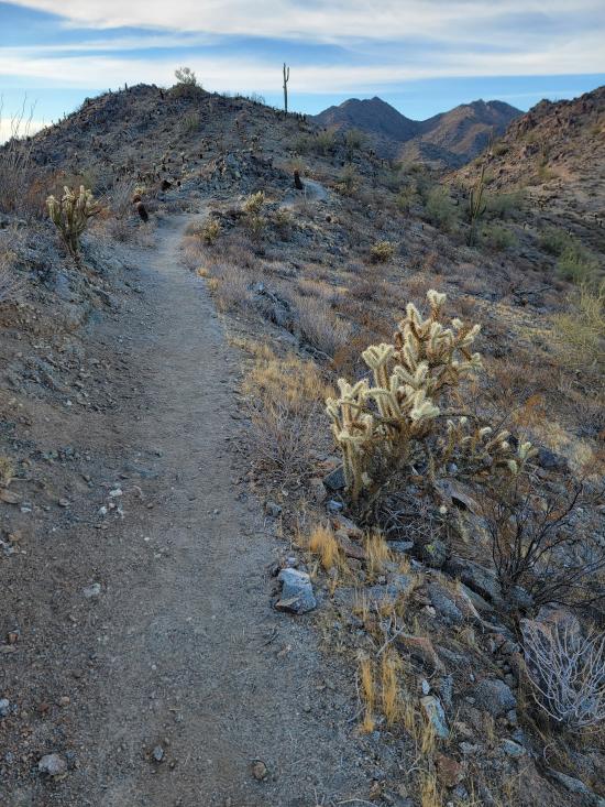
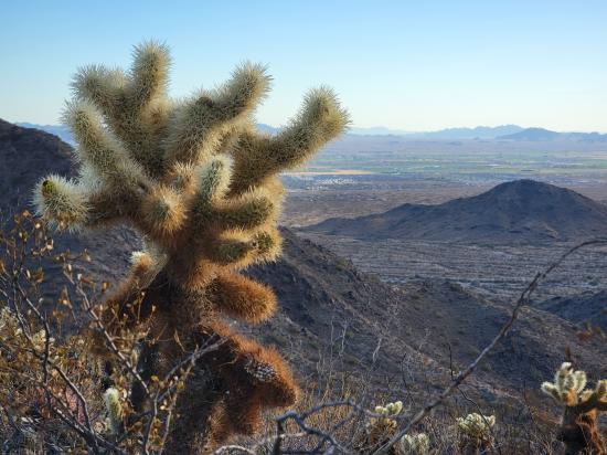
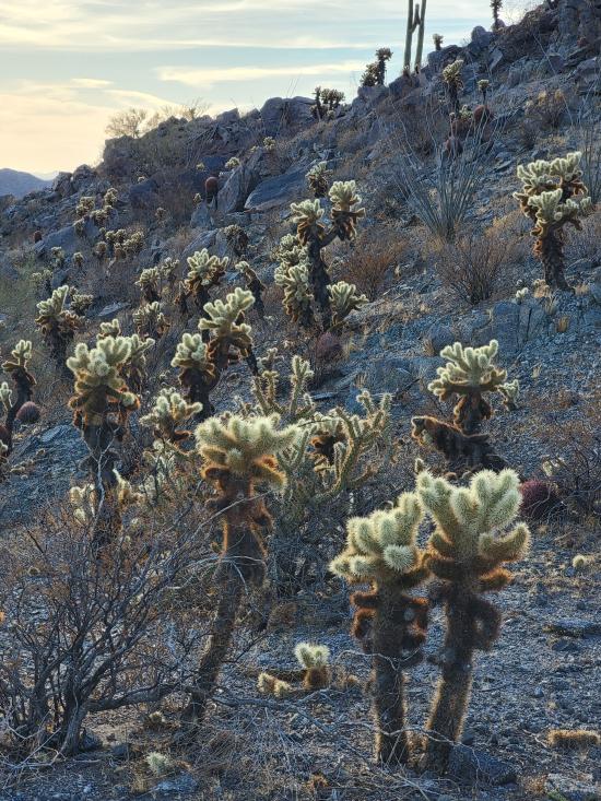
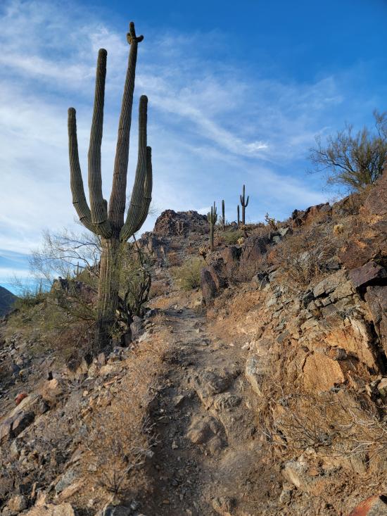
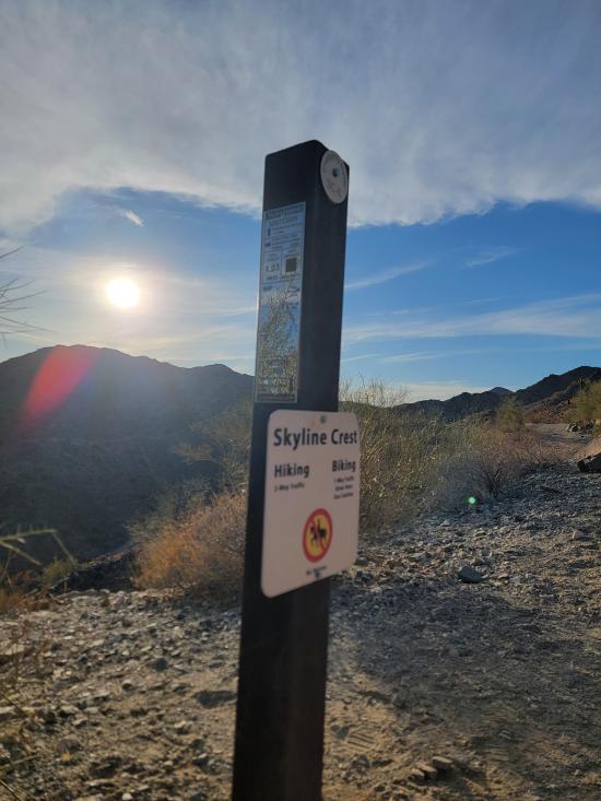
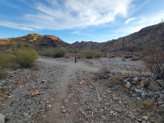
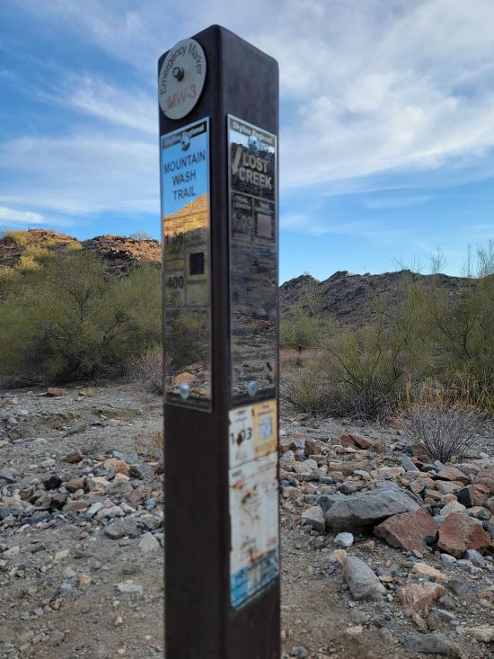
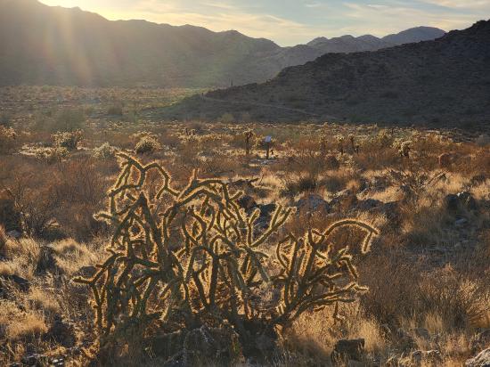
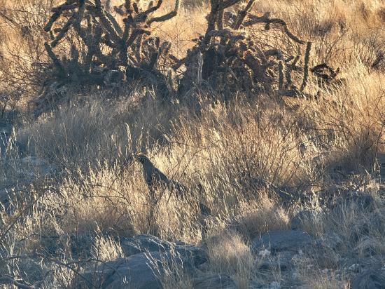
The Lost Creek Trail in Skyline Regional Park, Buckeye, Arizona, is a 2.3-mile point-to-point trail that serves as a connector between several of the park's main routes, including the Quartz Mine, Skyline Crest, and Mountain Wash trails. The trail follows an old service road, offering a wide and mostly level path with a moderate elevation gain of approximately 484 feet. Hikers will encounter typical Sonoran Desert vegetation such as creosote, brittlebush, mesquite, and various cacti, including barrel and cholla. While not particularly scenic on its own, Lost Creek Trail provides valuable access to other trails within the park and extends eastward onto Bureau of Land Management property, connecting to the Verrado trail system. The trail is open to hikers, mountain bikers, and equestrians, with dogs permitted on a leash. As with all desert hikes, visitors should carry sufficient water and be prepared for limited shade.
Trail Condition: Class 2 (Trail may have tree roots or rocks jutting out. Navigation skills may consist of following rock cairns and choosing turns at junctions. Elevation gains may be more substantial.)
Time: 20-30 minutes
Length: 1 miles one way, connecting to adjacent trails
Elevation Gain: +484 ft, -318 ft
Fees: None
Recommended Ages:
 | 0-3 |
 | 4-11 |
 | 12-19 |
 | 20-49 |
 | 50-69 |
 | 70+ |
Recommended Months to Visit:
| Jan |
| Feb |
| Mar |
| Apr |
| May |
| Jun |
| Jul |
| Aug |
| Sep |
| Oct |
| Nov |
| Dec |
Closest City or Region: Skyline Regional Park, Buckeye, Arizona
Coordinates: 33.492941, -112.556160
By Jeremy Dye
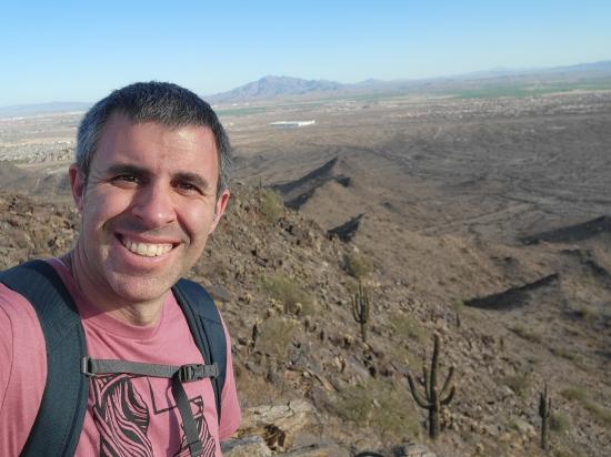
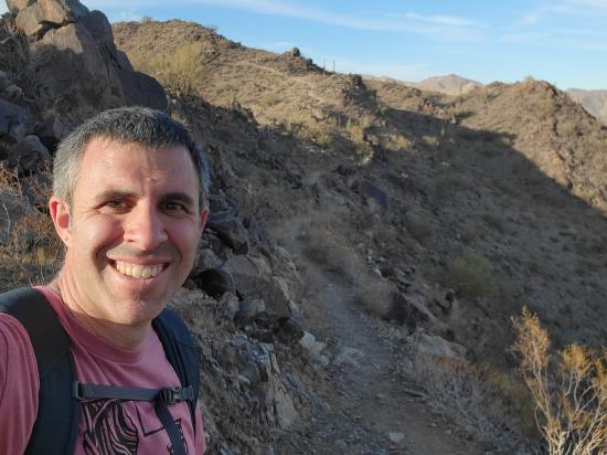
After Vulture Peak, I went to Skyline Regional Park. I hiked a loop trail up to the peak and around the mountain. That trip included portions of the Quartz Mine Trail, the Skyline Crest Trail, and the Mountain Wash Trail. As I was nearing the summit, Tara called, and we talked for most of an hour while I laid down in the shade and rested.
Still at Skyline Regional Park, I walked around the Red-tailed Hawk Interpretive Trail. They had a bunch of interpretive signs of the different desert plants and animals. I liked the information but did not like that the trail required you to backtrack lots of sections in order to see everything because there was no continuous loop through everything.


 Mystery Castle by Boyce Luther Gulley [CLOSED]
 Holbert Trail to Dobbins Lookout
Red Tailed Hawk Interpretive Trail
Historic Heritage Square Audio Tour
 Hiking Trails
 Marked Trails
 Desert
 Mountains
 No Drinking Water
 No Restrooms
 Road Access is Paved
 Access Road is 2WD Accessible
 Viewpoint, Overlooks, Vistas
 Pets Allowed
 Wildflowers and Vegitation
 Wildlife and Birding