 Hiking | Quartz Mine Trail


Hype:
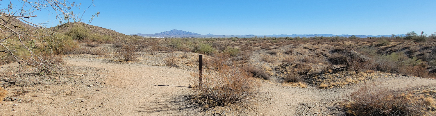
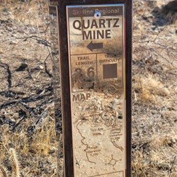
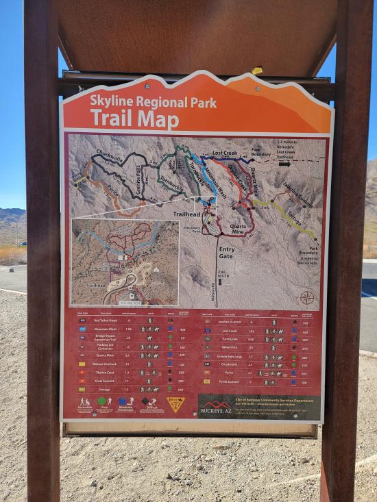
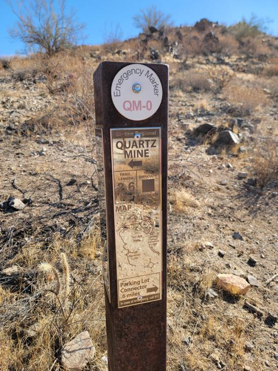
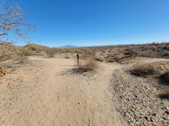
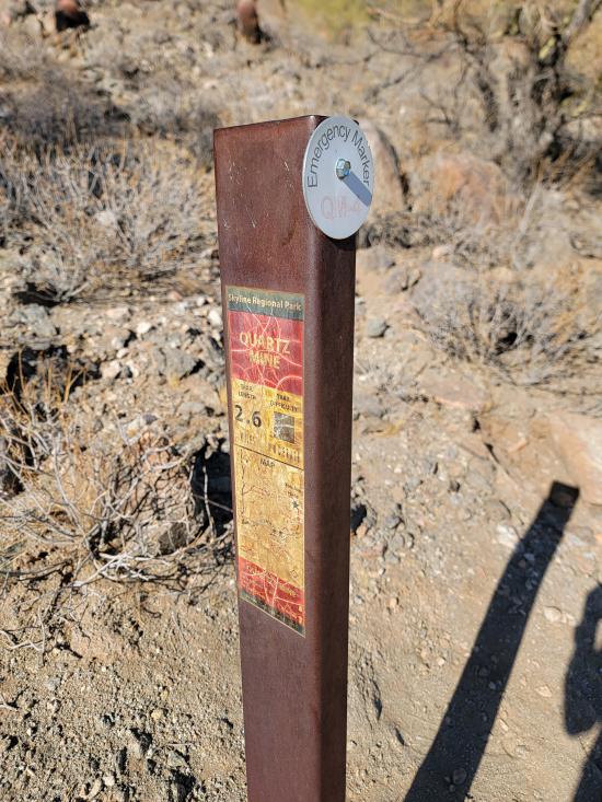
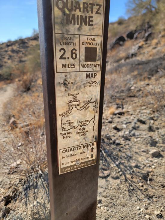
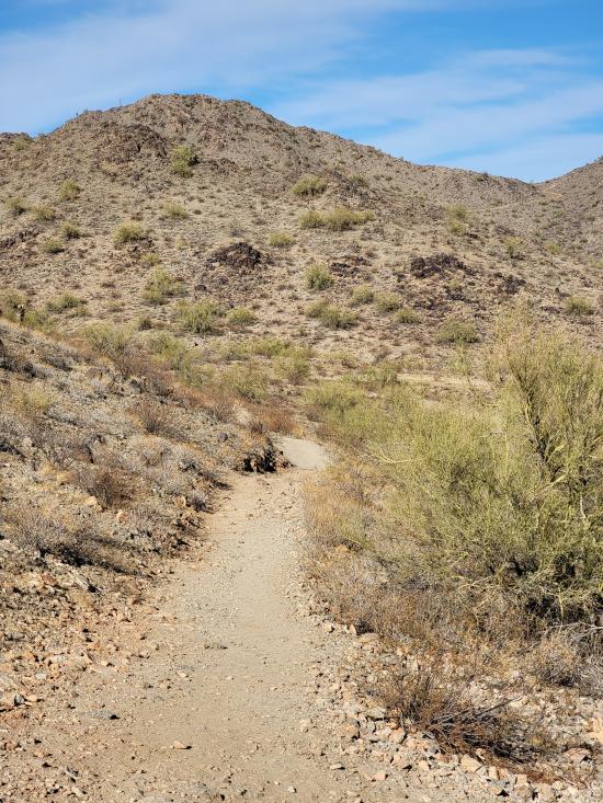
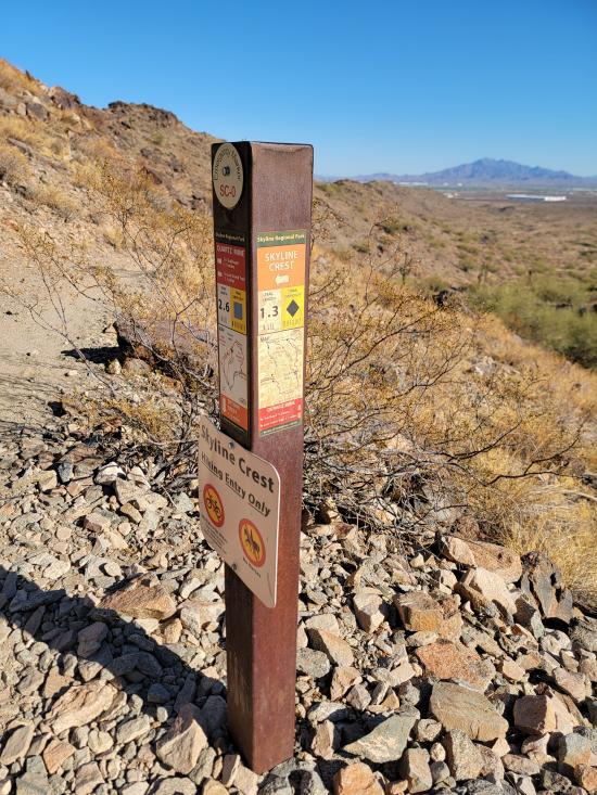
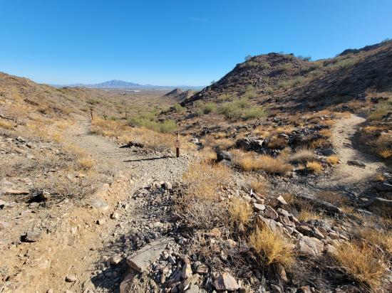
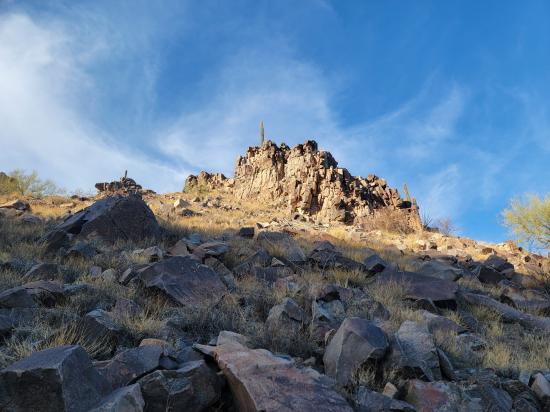
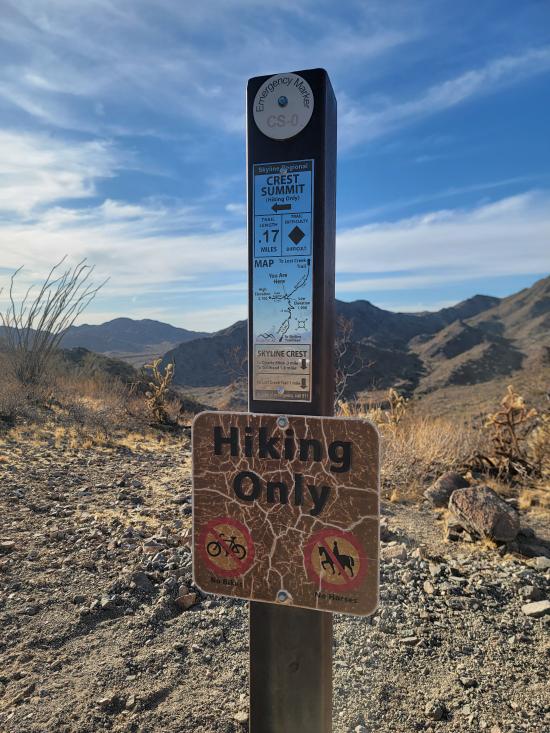
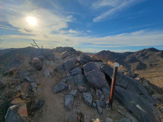
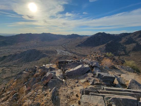
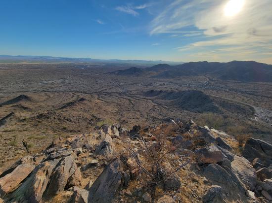
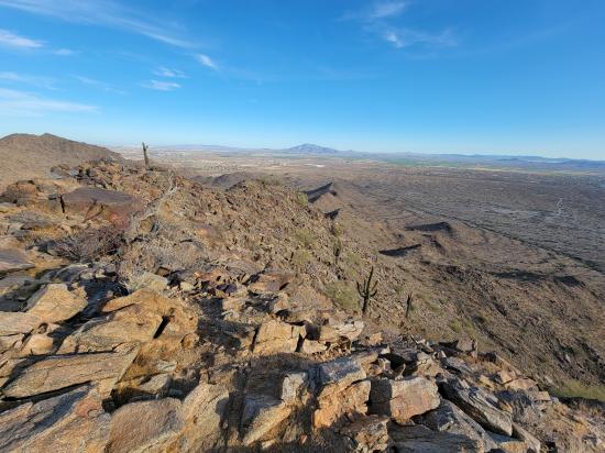
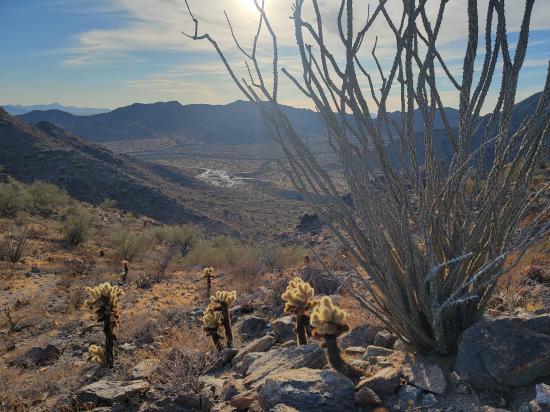
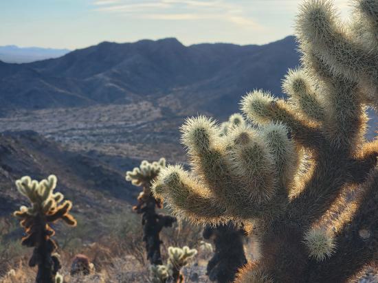
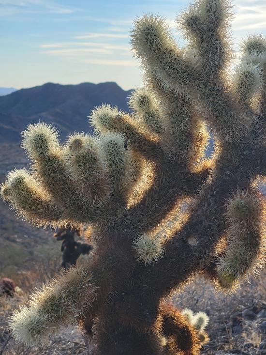
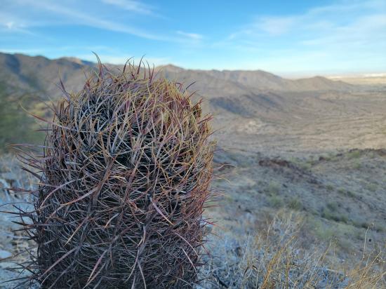
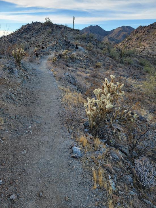
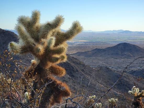
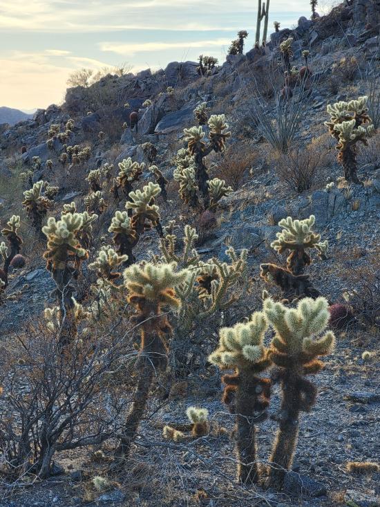
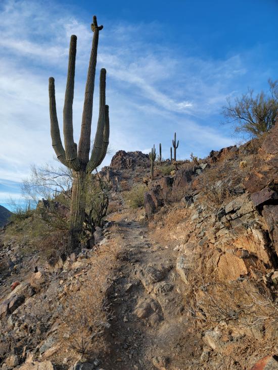
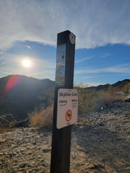
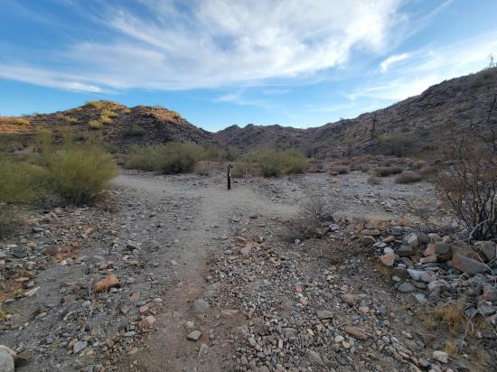
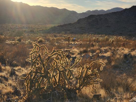
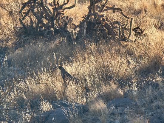
The Quartz Mine Trail in Skyline Regional Park, Buckeye, Arizona, offers a moderately challenging hike through the Sonoran Desert, featuring scenic views and diverse desert flora. This 2.7-mile point-to-point trail begins near the main parking area, ascending gently through a low saddle known as Watson Overlook. The trail is well-maintained, with a consistent three-foot width and gentle grades, making it accessible to hikers with moderate experience. Along the path, hikers can observe native vegetation such as creosote, brittlebush, mesquite, and various cacti, including barrel and saguaro. The trail offers panoramic views of the Sierra Estrella Range and the White Tank Mountains. At approximately 1.5 miles, the trail intersects with the Skyline Crest Trail, providing options for extended hikes. The Quartz Mine Trail is open daily from sunrise to sunset, and there is no fee for entry. Dogs are permitted but must be kept on a leash. Hikers are advised to carry sufficient water and be prepared for desert conditions.
Trail Condition: Class 2 (Trail may have tree roots or rocks jutting out. Navigation skills may consist of following rock cairns and choosing turns at junctions. Elevation gains may be more substantial.)
Time: 1-2 hours
Length: 2.62 miles one way, connecting to adjacent trails
Elevation Gain: +675 ft, -469 ft
Fees: None
Recommended Ages:
 | 0-3 |
 | 4-11 |
 | 12-19 |
 | 20-49 |
 | 50-69 |
 | 70+ |
Recommended Months to Visit:
| Jan |
| Feb |
| Mar |
| Apr |
| May |
| Jun |
| Jul |
| Aug |
| Sep |
| Oct |
| Nov |
| Dec |
Navigate to 33.481117, -112.559196.
Closest City or Region: Skyline Regional Park, Buckeye, Arizona
Coordinates: 33.476460, -112.549309
By Jeremy Dye
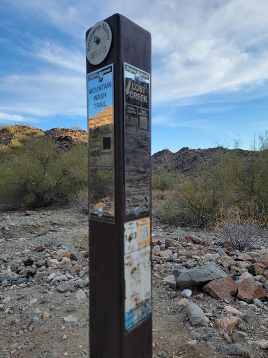
After Vulture Peak, I went to Skyline Regional Park. I hiked a loop trail up to the peak and around the mountain. That trip included portions of the Quartz Mine Trail, the Skyline Crest Trail, and the Mountain Wash Trail. As I was nearing the summit, Tara called, and we talked for most of an hour while I laid down in the shade and rested.
Still at Skyline Regional Park, I walked around the Red-tailed Hawk Interpretive Trail. They had a bunch of interpretive signs of the different desert plants and animals. I liked the information but did not like that the trail required you to backtrack lots of sections in order to see everything because there was no continuous loop through everything.


 Mystery Castle by Boyce Luther Gulley [CLOSED]
 Holbert Trail to Dobbins Lookout
Red Tailed Hawk Interpretive Trail
Historic Heritage Square Audio Tour
 Hiking Trails
 Marked Trails
 Desert
 Mountains
 No Drinking Water
 No Restrooms
 Road Access is Paved
 Access Road is 2WD Accessible
 Viewpoint, Overlooks, Vistas
 Pets Allowed
 Wildflowers and Vegitation
 Wildlife and Birding