 Hiking | Black Rock Loop


Hype:
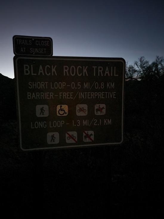
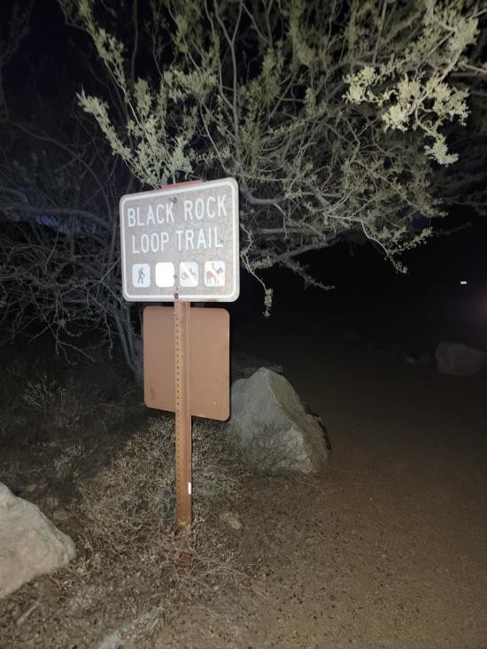
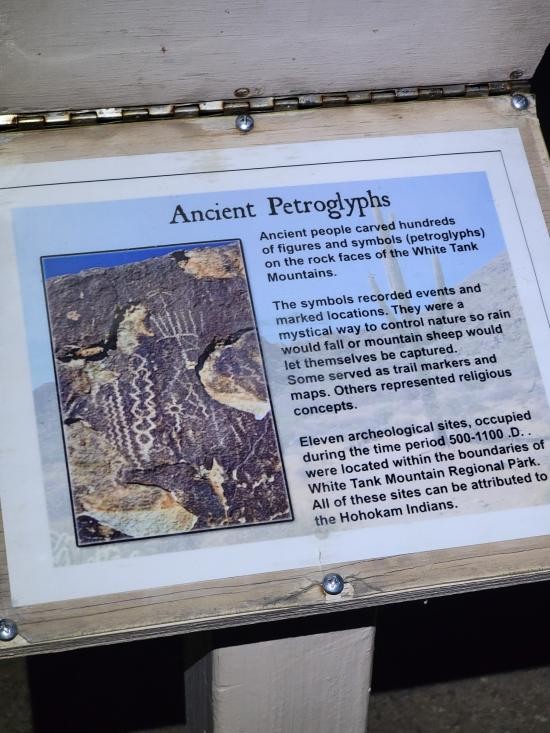
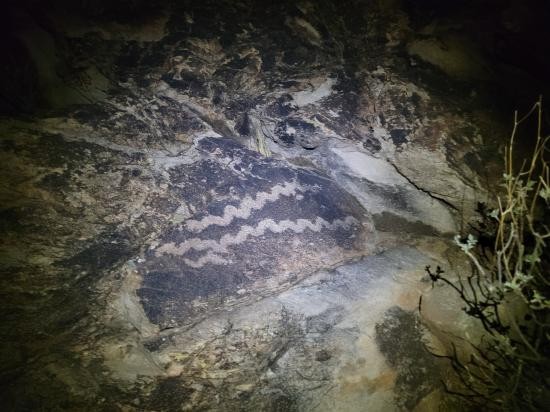
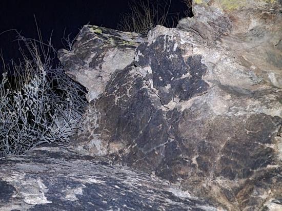
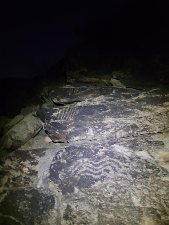
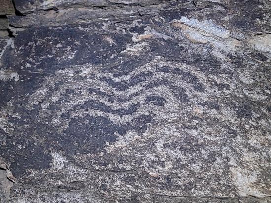
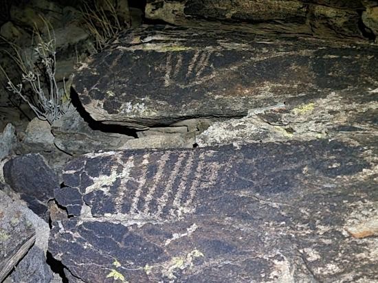
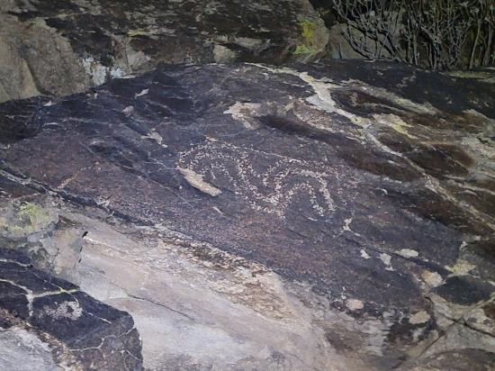
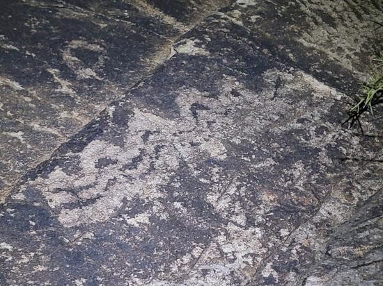
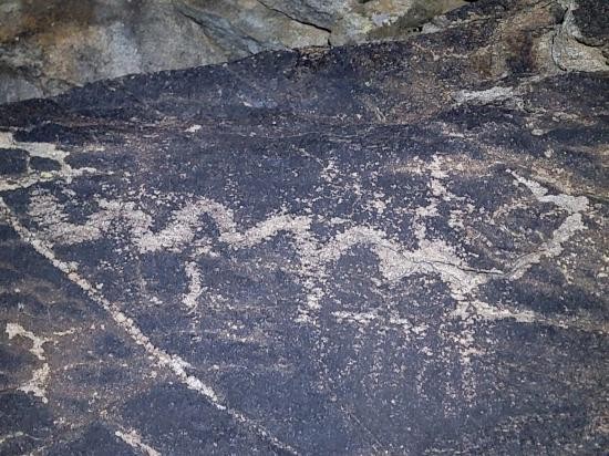
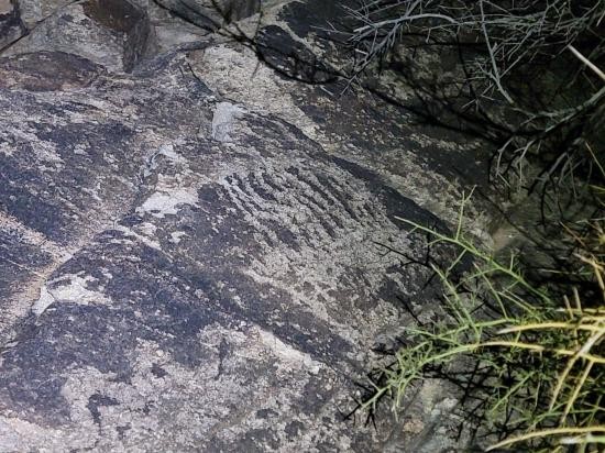
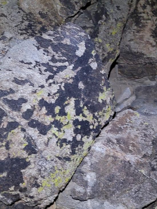
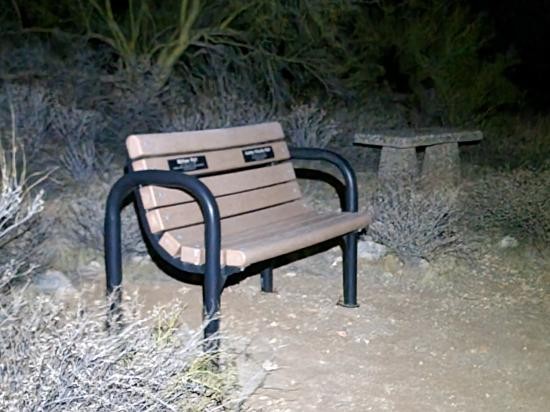
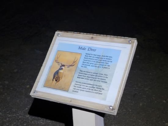
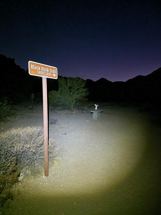
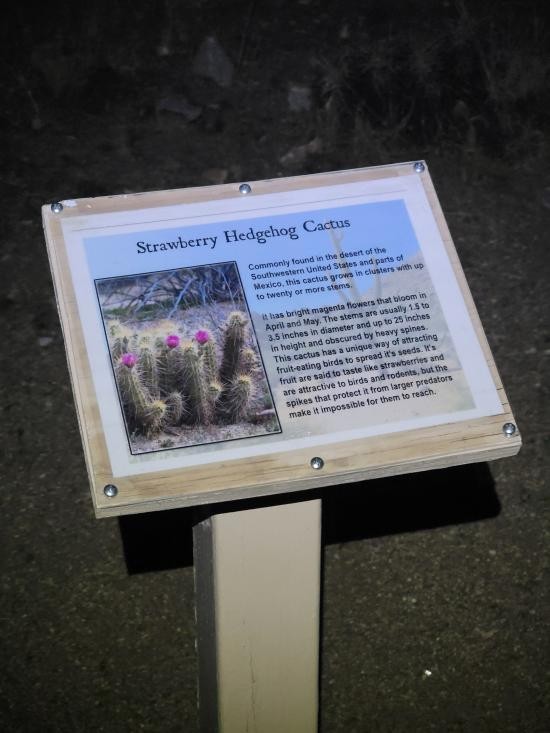
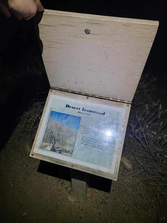
The Black Rock Loop Trail in White Tank Mountain Regional Park, Waddell, Arizona, offers an easy and scenic hike through the Sonoran Desert. The trail has two options: the Short Loop at 0.5 miles and the Long Loop at approximately 1.4 miles. Both loops are relatively flat and well-maintained, making them suitable for hikers of all skill levels. Along the trail, hikers can observe diverse desert vegetation, including saguaro cacti and creosote bushes, as well as wildlife such as lizards and birds. Interpretive signs along the path provide information about the area's flora, fauna, and geological features. The trail also passes near ancient petroglyphs created by the Hohokam people, offering a glimpse into the region's rich cultural history. For those looking to extend their hike, the Black Rock Loop connects to the Waterfall Trail, leading to a seasonal waterfall. Amenities at the trailhead include restrooms and picnic areas, and dogs are allowed on the trail if kept on a leash. The trail is best hiked during the cooler months, from November to April, due to the desert heat.
Trail Condition: Class 1 (Trail is either paved or gravel. Navigation skills are not needed because there is only one trail or because there are signs. Elevation gains are gradual or there are stairs.)
Time: 1 hour
Length: 1.4 mile loop
Elevation Gain: Negligible
Fees: Park Admission
Recommended Ages:
 | 0-3 |
 | 4-11 |
 | 12-19 |
 | 20-49 |
 | 50-69 |
 | 70+ |
Recommended Months to Visit:
| Jan |
| Feb |
| Mar |
| Apr |
| May |
| Jun |
| Jul |
| Aug |
| Sep |
| Oct |
| Nov |
| Dec |
Navigate to 33.583433, -112.501336.
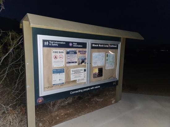
Park in either of the two parking lots near the trailhead.
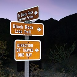
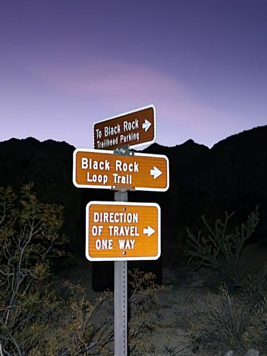
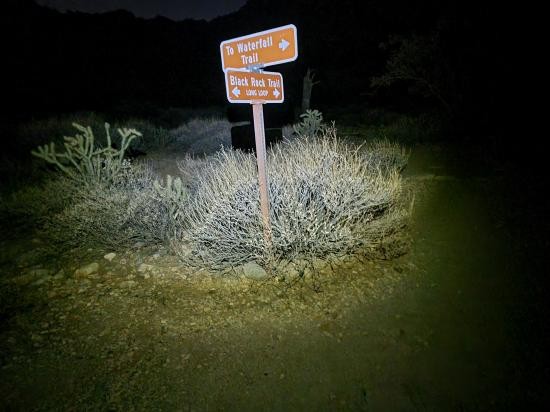
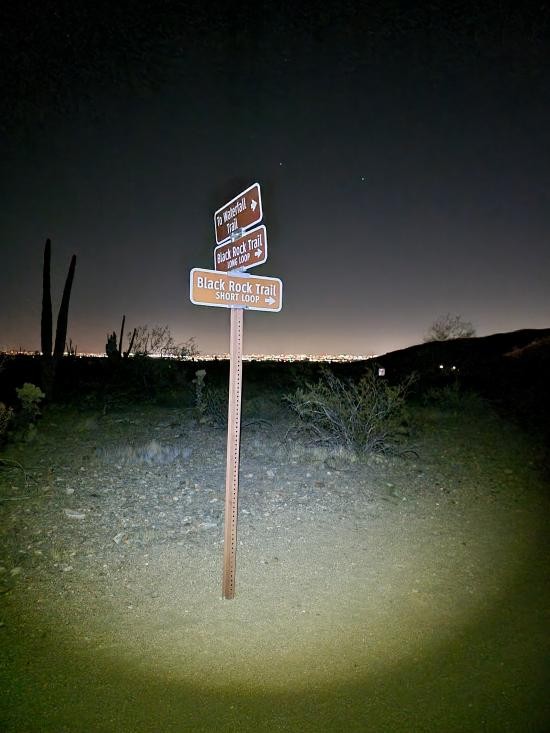
Both the short loop and the long loop start and finish at the same trailhead and proceed counterclockwise. For the short loop, take the south fork at the trail junction immediately after the Black Rock hill. This is where the petroglyphs are.
Closest City or Region: White Tank Mountain Regional Park, Arizona
Coordinates: 33.583850, -112.502058
By Jeremy Dye
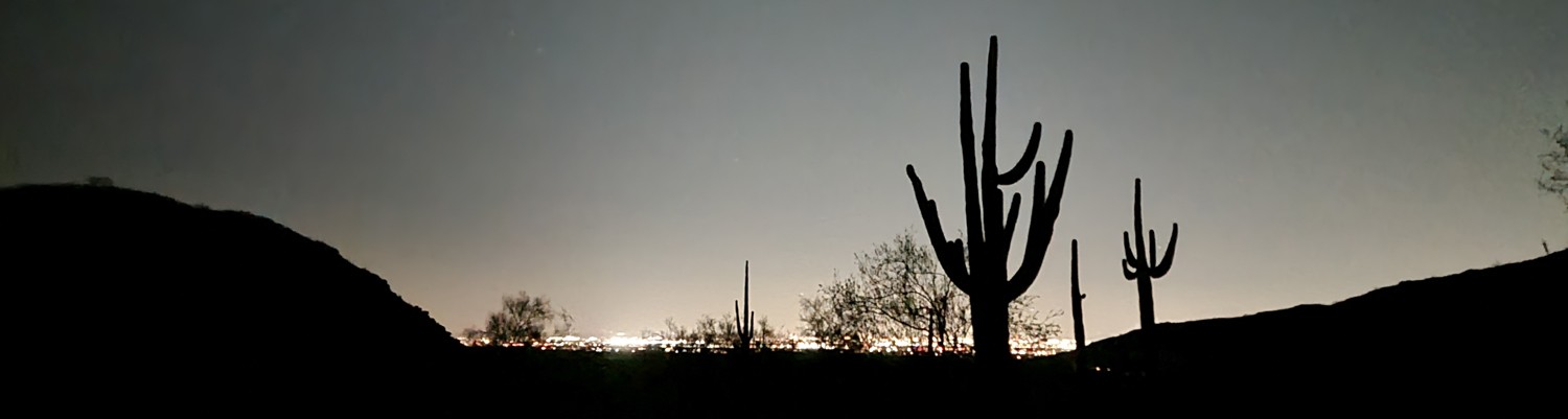
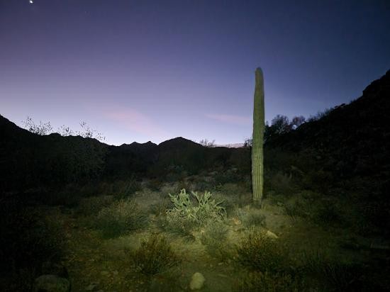
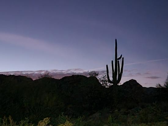
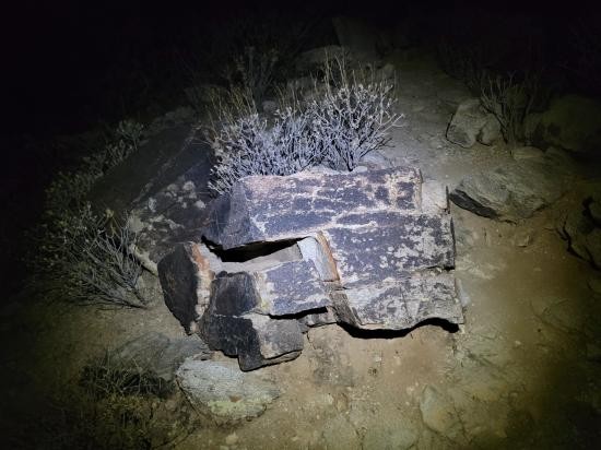
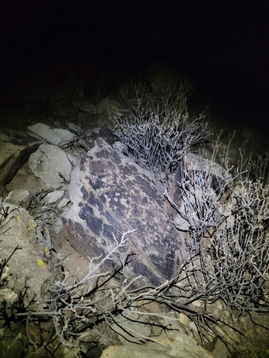
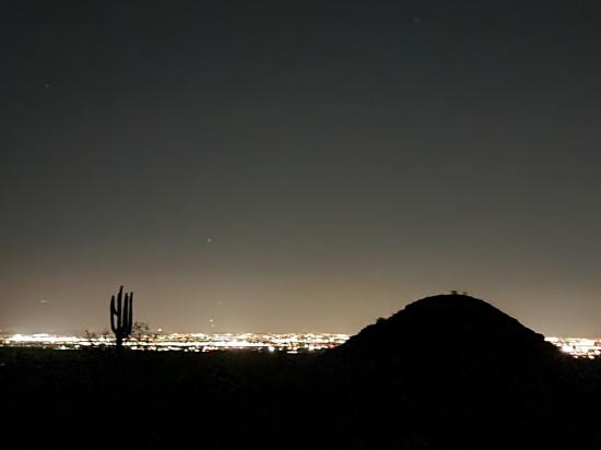
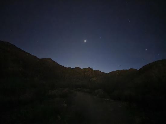
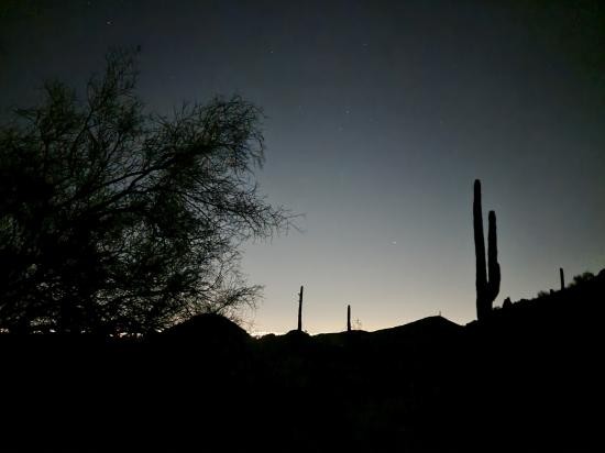
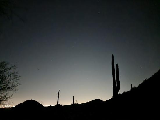
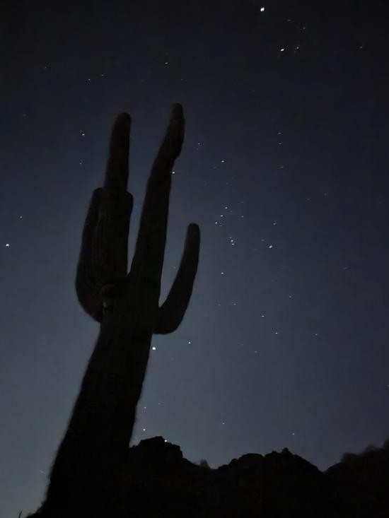
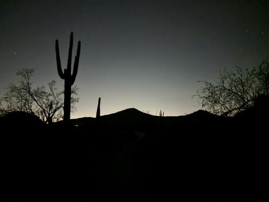
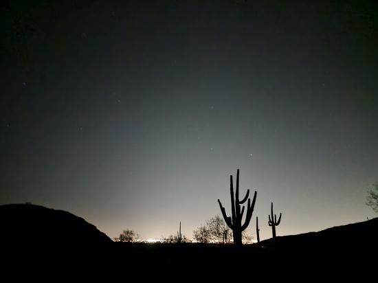
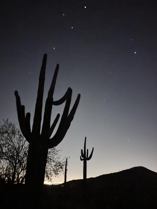
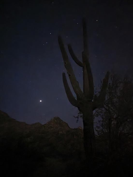
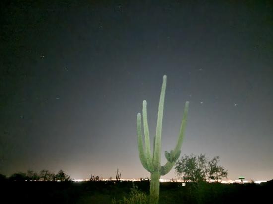
After I finish the Waterfall Trail, I drove around the corner and hiked the Black Rock Trail by headlamp. The weather was so much warmer than we're used to in Utah, and it was nice to be outside without getting cold. I started hiking the Black Rock loop at an aggressive pace but then slowed down to enjoy it a bit more. I took a bunch of night photography pictures with stars and cactuses. I was super impressed with how clear the pictures turned out with a handheld cell phone. There was nobody else on the trail, and it was super relaxing and serene. I turned off my headlamp and meandered by starlight. I went back to my hotel and watched YouTube before going to bed.
 Mystery Castle by Boyce Luther Gulley [CLOSED]
 Holbert Trail to Dobbins Lookout
Red Tailed Hawk Interpretive Trail
Historic Heritage Square Audio Tour
 Hiking Trails
 Marked Trails
 Petroglyphs and Pictographs
 No Drinking Water
 Desert
 Mountains
 Slot Canyon
 Restrooms - Flush
 Picnic Tables
 Road Access is Paved
 Access Road is 2WD Accessible
 Viewpoint, Overlooks, Vistas
 Pets Allowed
 Wildflowers and Vegitation
 Wildlife and Birding