 Hiking | Kepler Track


Hype:
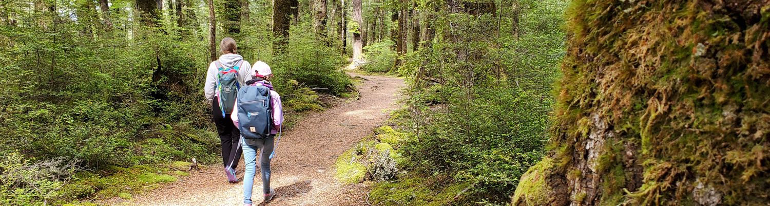
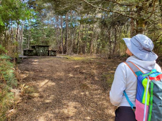
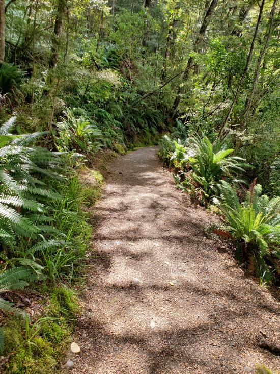
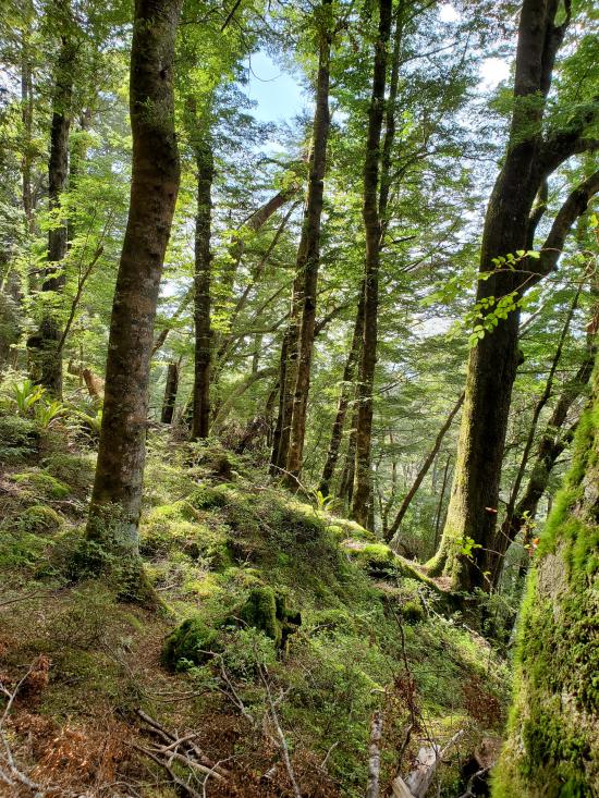
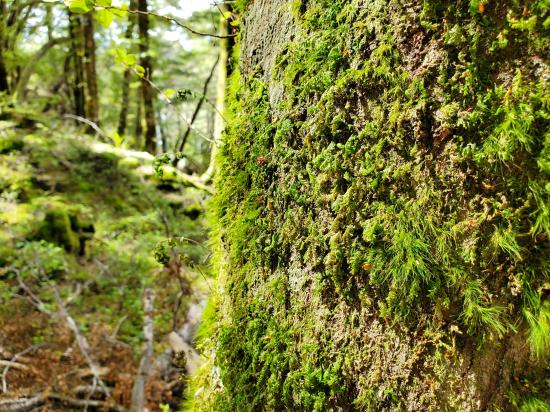
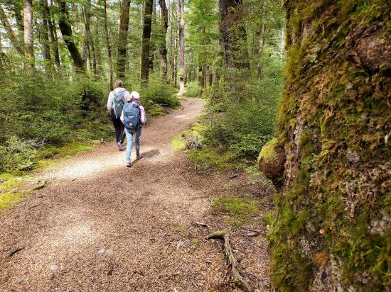
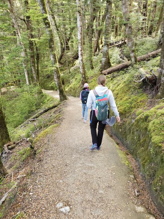
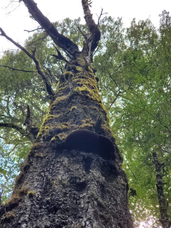
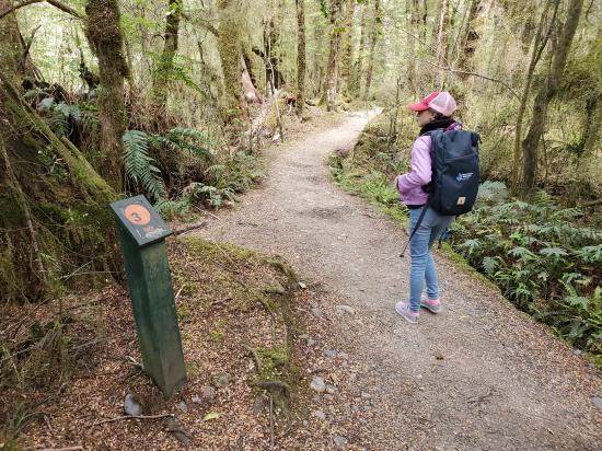
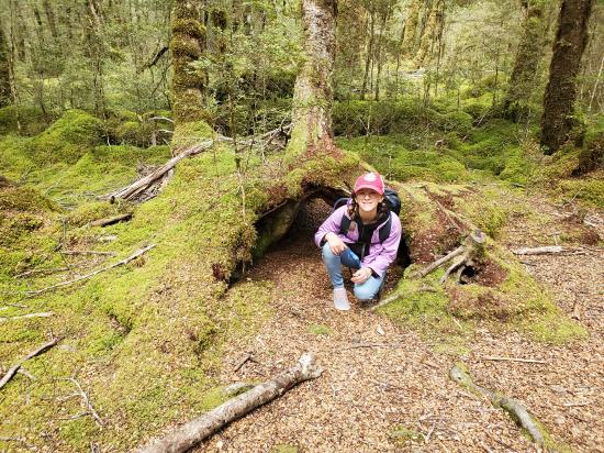
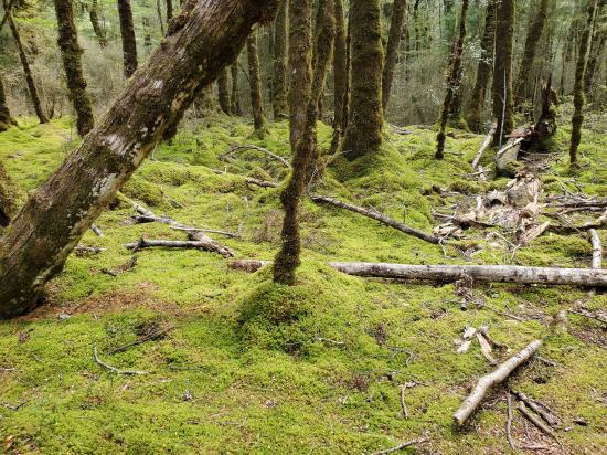
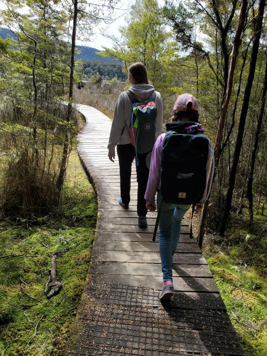
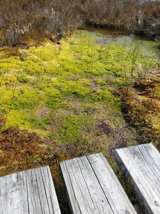
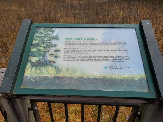
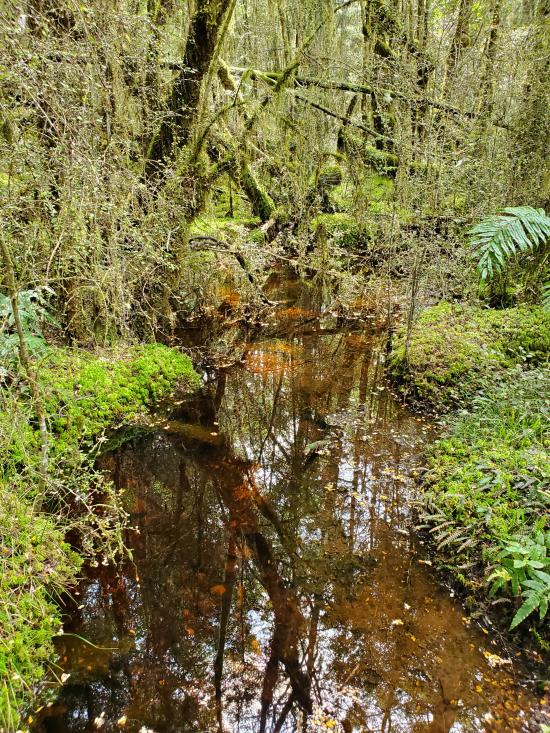
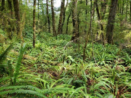
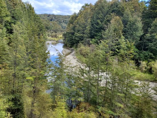
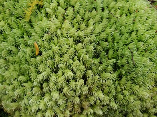
The Kepler Track is a 35 mile circular hiking track that travels through the landscape of the South Island of New Zealand and is situated near the town of Te Anau. The track passes through many landscapes of the Fiordland National Park such as rocky mountain ridges, tall mossy forests, lake shores, deep gorges, rare wetlands, and rivers.
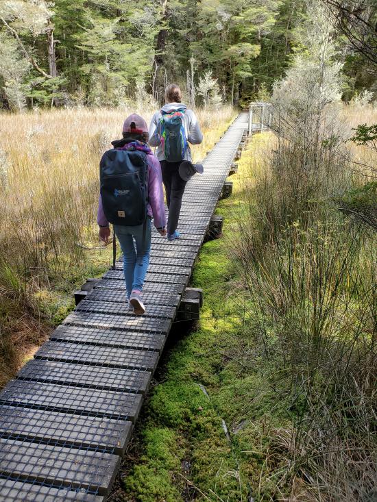
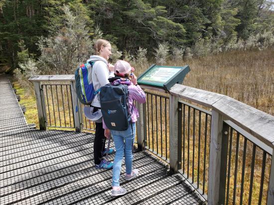
Like the mountains it traverses, the track is named after Johannes Kepler. The track is one of the New Zealand Great Walks and is administered by the Department of Conservation (DOC). Compared with other tracks in New Zealand, this walking track is constructed to a very high standard. Most streams are bridged, boardwalks cover boggy areas and the very steep sections have steps. It is a moderate walking track that takes three to four days to complete.
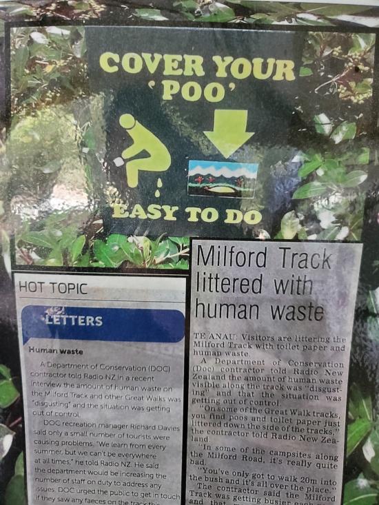
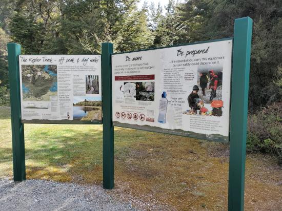
Like most of New Zealand's Great Walks, huts must generally be booked through the Department Of Conservation (DOC) New Zealand in advance. Showers and waste collection are not provided. It is recommended to bring bug spray in summer months as sand flies are abundant.
Trail Condition: Class 2 (Trail may have tree roots or rocks jutting out. Navigation skills may consist of following rock cairns and choosing turns at junctions. Elevation gains may be more substantial.)
Time: 3-4 days
Length: 35 mile loop
Elevation Gain: 7,500 ft
Fees: None
Recommended Ages:
 | 0-3 |
 | 4-11 |
 | 12-19 |
 | 20-49 |
 | 50-69 |
 | 70+ |
Recommended Months to Visit:
| Jan |
| Feb |
| Mar |
| Apr |
| May |
| Jun |
| Jul |
| Aug |
| Sep |
| Oct |
| Nov |
| Dec |
Links: https://www.doc.govt.nz/parks-and-recreation/places-to-go/fiordland/places/fiordland-national-park/things-to-do/tracks/kepler-track/https://en.wikipedia.org/wiki/Kepler_Track
Navigate to -45.442345, 167.688735.
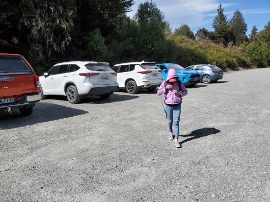
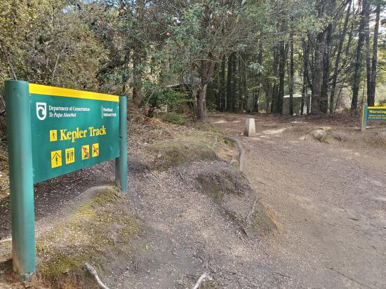
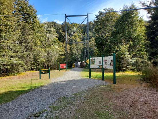
Park at either the Kepler Track Car Park or the Rainbow Reach Car Park. Or you can take a boat shuttle from Te Anau.
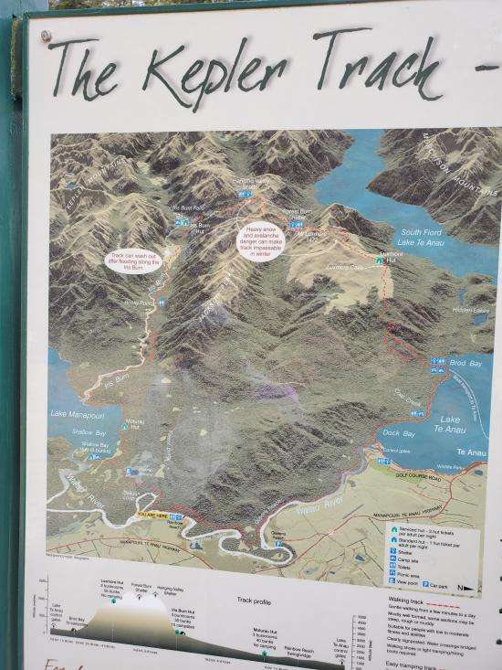
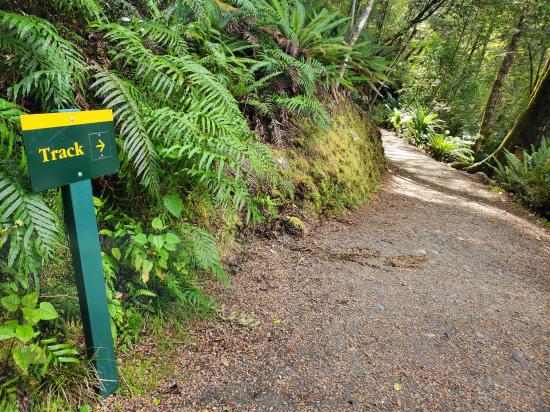
Kepler Track can be hiked from multiple trailheads and in a clockwise or counter-clockwise direction. This description starts at the Kepler Track Car Park and proceeds in a counter-clockwise direction.
The track follows the shores of Lake Te Anau in beech forest to sandy Brod Bay where camping is permitted, and where it is possible to enter or exit the track by an arranged shuttle boat.
From Brod Bay, the track climbs up past limestone bluffs (at 747 m or 2,451 ft) to Luxmore Hut (1,085 m or 3,560 ft) on Mt Luxmore. A short walk from the hut leads to a cave, one of about 30 in the area, of which many are still unexplored.
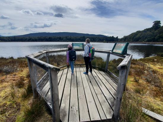
A gradual climb from the hut to Luxmore Saddle (1,400 m or 4,600 ft) which is the highest point on the main trail, offering extensive views of the park. There is an opportunity to climb to the peak of Mount Luxmore (1,472 m or 4,829 ft) for a 360 degree view including Lake Te Anau. Emergency shelters are located at Forrest Burn and Hanging Valley – though overnight stays are expressly forbidden, except in an emergency. The path then follows a long, open ridge toward the Iris Burn and descends via a series of switchbacks into a hanging valley. The track descends through forest, and provides a view of a large natural landslide. The Iris Burn Hut (497 m or 1,631 ft) is sited in a large tussock clearing 1.5 km (0.93 mi) from Iris Burn waterfall.
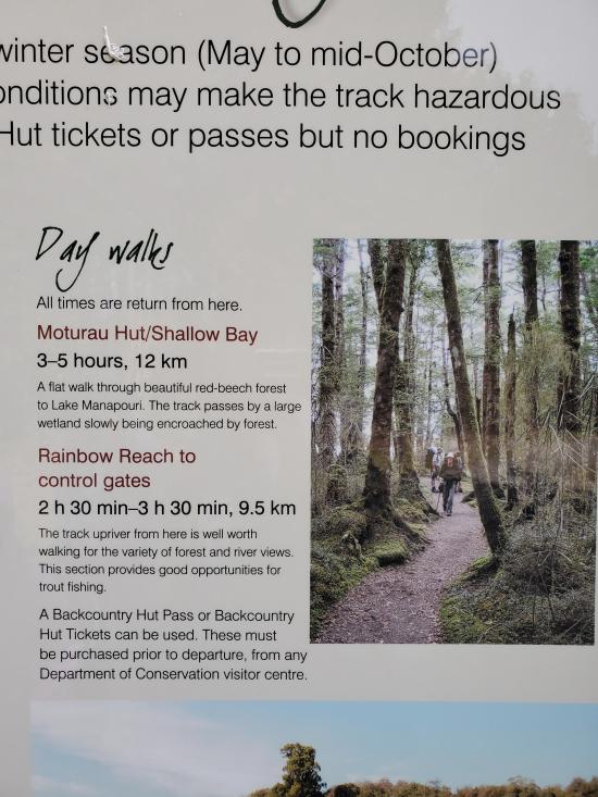
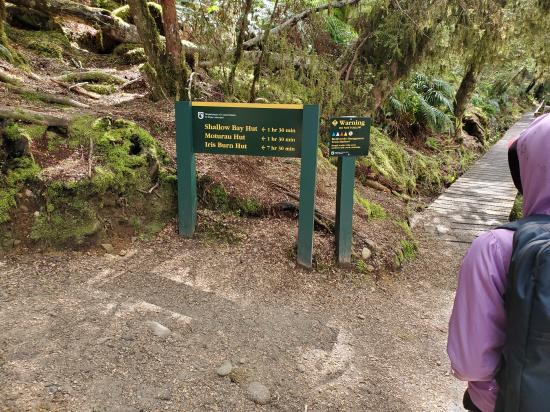
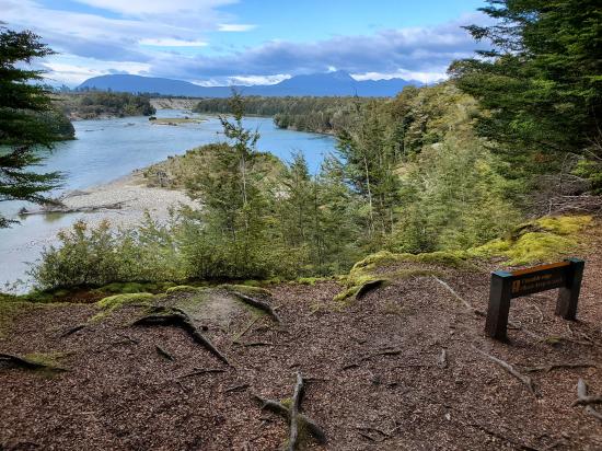
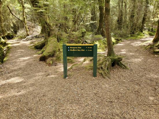
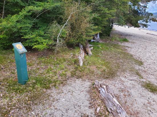
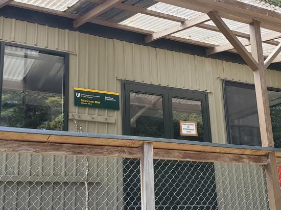
The track climbs over a low saddle and wanders through mixed forest to the large slip formed during heavy rain in January 1984. The track sidles through a gorge to come out on river flats near the mouth of the Iris Burn. It follows the lakeshore around Shallow Bay to Moturau Hut, situated beside a beach with views of Lake Manapouri.
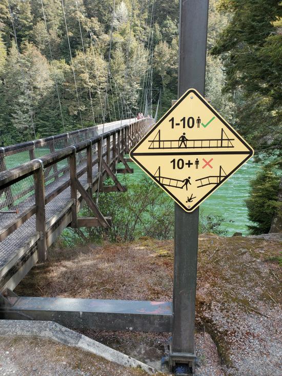
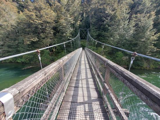
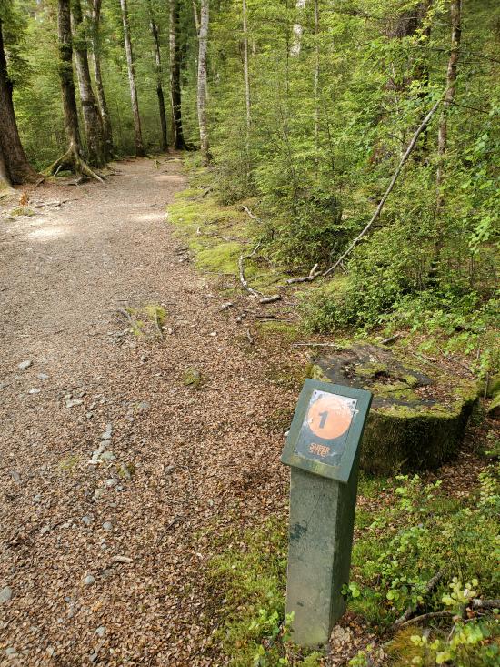
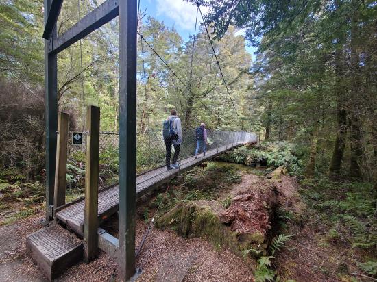
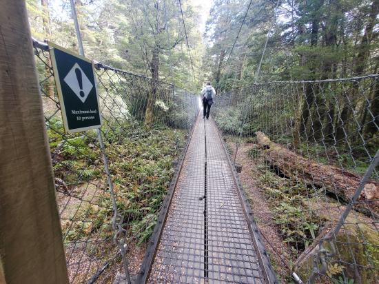
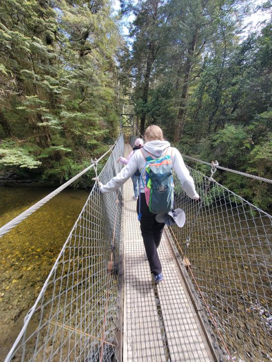
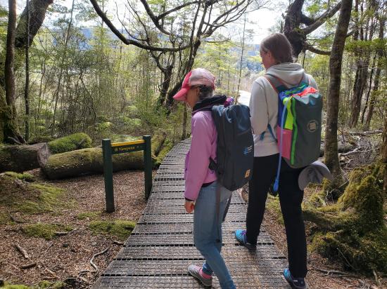
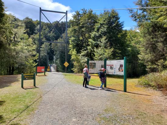
This short section crosses many small streams, before running next to the Waiau River until it reaches the Rainbow Reach swing bridge, where there is a carpark, and tramper bus services.
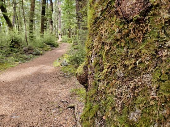
The undulating track here traverses mixed forest and crosses many small streams, arriving back at the Control Gates.
Closest City or Region: Te Anau, New Zealand
Coordinates: -45.389590, 167.571824
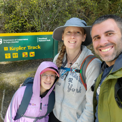
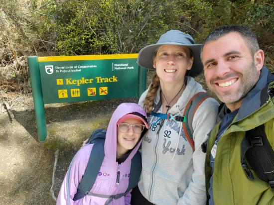
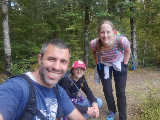
By Jeremy Dye
Jeremy Dye, Tara Dye, Savannah Dye,
Rainbow Reach Trailhead: 10:55
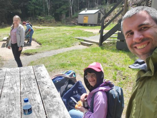
Moturua Hut: 1:05
Rainbow Reach Trailhead: 3:00
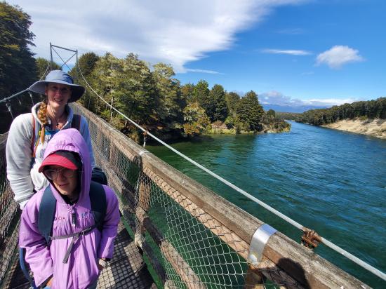
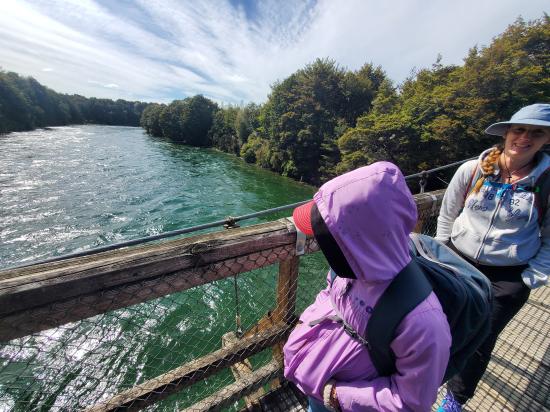
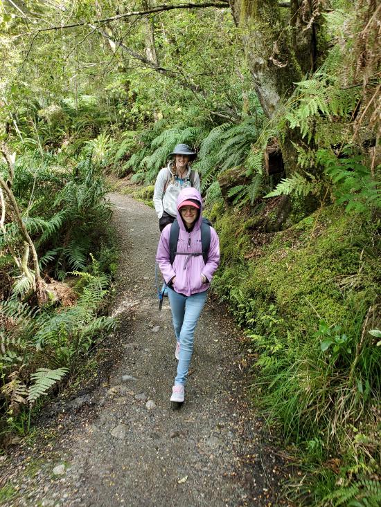
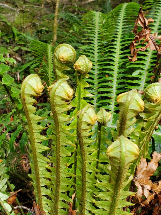
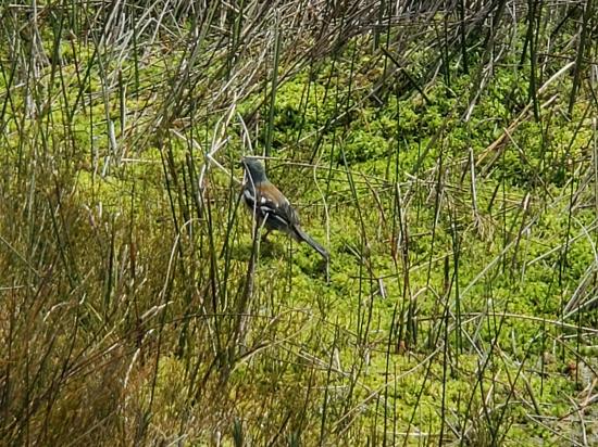
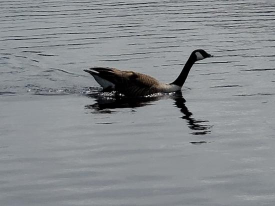
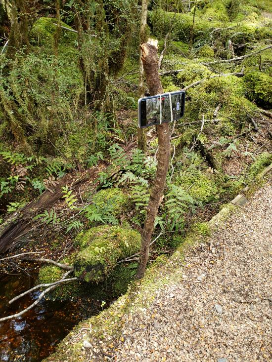
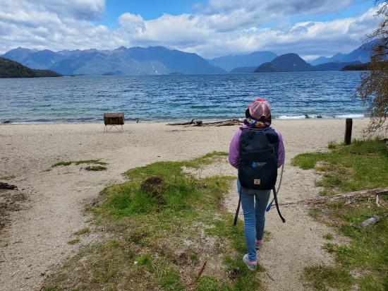
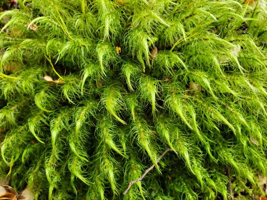
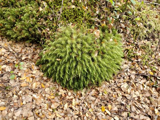
We hiked the Kepler Track from Rainbow Reach to Moturau Hut. We took it slow and enjoyed the scenery. I stopped several times to take videos for the escape room. I didn't have a tripod with me, so I used two of Savannah's hair elastics to attach my phone to a stick. At the hut, the beach was very pretty, but there were thousands of biting sandflys that made it a little bit less pleasant. We ate lunch and took some more videos then hiked back to Rainbow Reach. The weather was amazing and the scenery was unequalled. Tara teased me almost the whole way that I loved the ferns and moss-covered trees too much.
 Sigatoka Sand Dunes National Park
 Sigatoka Sand Dunes National Park Visitor Center
International Antarctic Centre
Fiordland National Park Visitor Centre
Boniface Water Gardens View Point
Turangi Leisure Lodge Mini Golf
Boniface Water Gardens View Point
Fiordland National Park Visitor Centre
 Hiking Trails
 Marked Trails
 National Trail
 Non-potable Water - filterable
 Waterfalls
 Rivers and Streams
 Lakes and Reservoirs
 Mountains
 Picnic Tables
 Restrooms - Vault
 Road Access is Paved
 Viewpoint, Overlooks, Vistas
 Wildflowers and Vegitation
 Wildlife and Birding
