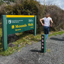
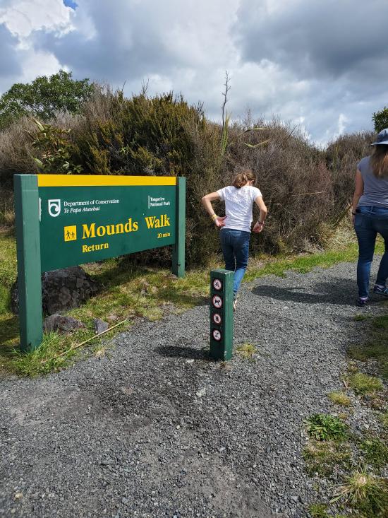
 Hiking | Mounds Walk


Hype:
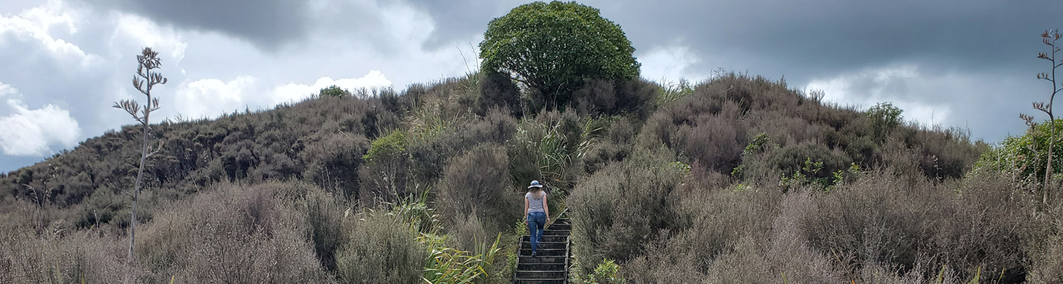
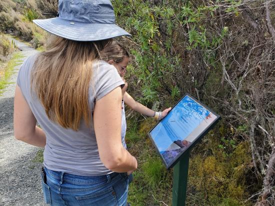
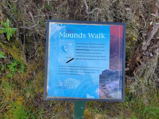
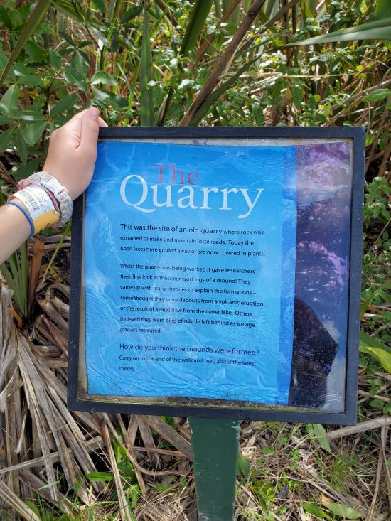
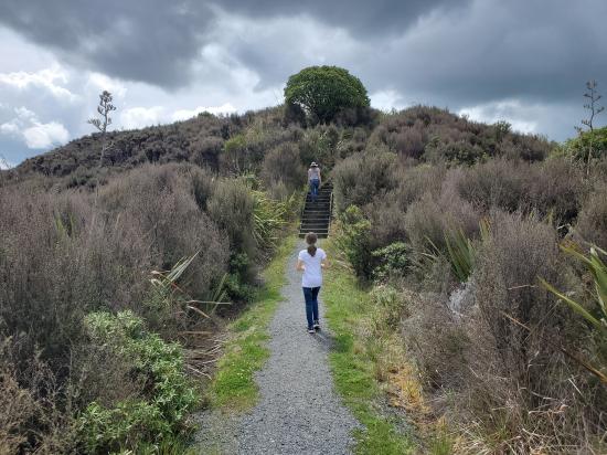
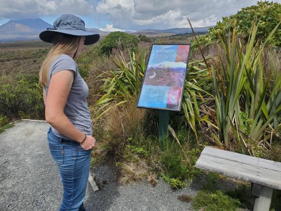
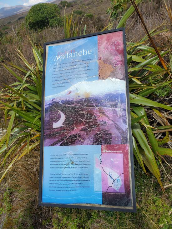
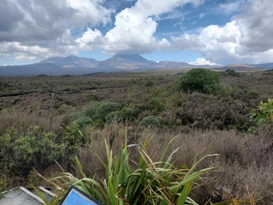
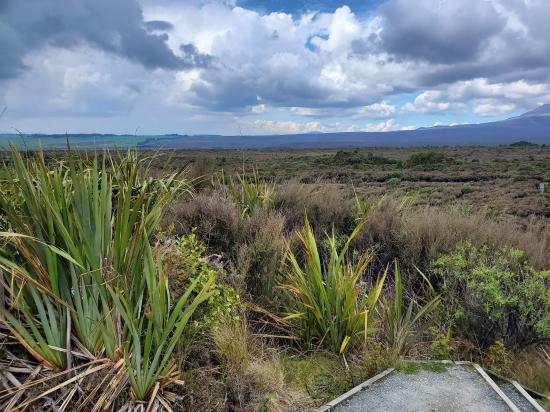
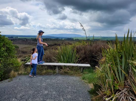
Debris avalanches during Ruapehu’s periods of volcanic activity are believed to have formed these mounds thousands of years ago. The top of the track offers good views of the volcanoes and surrounding area.
Trail Condition: Class 1 (Trail is either paved or gravel. Navigation skills are not needed because there is only one trail or because there are signs. Elevation gains are gradual or there are stairs.)
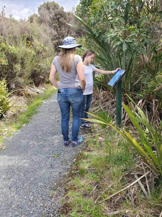
Time: 15 minutes
Length: 0.2 miles round trip
Elevation Gain: 30 ft
Fees: None
Recommended Ages:
 | 0-3 |
 | 4-11 |
 | 12-19 |
 | 20-49 |
 | 50-69 |
 | 70+ |
Recommended Months to Visit:
| Jan |
| Feb |
| Mar |
| Apr |
| May |
| Jun |
| Jul |
| Aug |
| Sep |
| Oct |
| Nov |
| Dec |
Navigate to -39.169605, 175.503991.
Closest City or Region: Tongariro National Park, New Zealand
Coordinates: -39.170068, 175.502766
By Jeremy Dye
Jeremy Dye, Tara Dye, Savannah Dye,
Another quarter mile down the road, we did a little spur trail to some mounds, which were giant rafts of stone that floated down the mountain in a landslide.
 Sigatoka Sand Dunes National Park
 Sigatoka Sand Dunes National Park Visitor Center
International Antarctic Centre
Fiordland National Park Visitor Centre
Boniface Water Gardens View Point
Turangi Leisure Lodge Mini Golf
 Hiking Trails
 Viewpoint, Overlooks, Vistas
 Volcanoes
 No Drinking Water
 Marked Trails
 No Restrooms
 Road Access is Paved
 Access Road is 2WD Accessible
 Wildflowers and Vegitation
 Wildlife and Birding
