 Hiking | Tongariro Alpine Crossing


Hype:
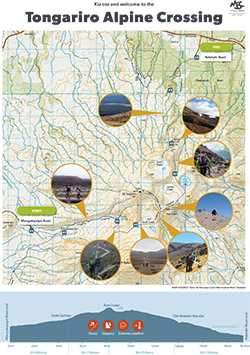
The Tongariro Alpine Crossing in Tongariro National Park is a tramping track in New Zealand, and is among the most popular day hikes in the country. The crossing passes over the volcanic terrain of the multi-cratered active volcano Mount Tongariro, passing the eastern base of Mount Ngauruhoe. The full distance of the track is usually 19.4-kilometre (12.1 mi).
Trail Condition: Class 2 (Trail may have tree roots or rocks jutting out. Navigation skills may consist of following rock cairns and choosing turns at junctions. Elevation gains may be more substantial.)
Time: 6-10 hours
Length: 11.4 miles one way
Elevation Gain: 3,460 / -4521 ft
Fees: Optional shuttle
Recommended Ages:
 | 0-3 |
 | 4-11 |
 | 12-19 |
 | 20-49 |
 | 50-69 |
 | 70+ |
Recommended Months to Visit:
| Jan |
| Feb |
| Mar |
| Apr |
| May |
| Jun |
| Jul |
| Aug |
| Sep |
| Oct |
| Nov |
| Dec |
Links: https://www.doc.govt.nz/parks-and-recreation/places-to-go/central-north-island/places/tongariro-national-park/things-to-do/tracks/tongariro-alpine-crossing/https://en.wikipedia.org/wiki/Tongariro_Alpine_Crossing
Navigate to -39.199801, 175.541723.
Closest City or Region: Tongariro National Park, New Zealand
Coordinates: -39.125728, 175.657559
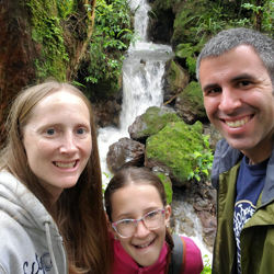
By Jeremy Dye
Jeremy Dye, Tara Dye, Savannah Dye,
We got an email at about 10:00 at night just as we were going to bed saying that our shuttle car for our hike the next day was canceled because of the rain. We would have done the hike in the rain anyway, but since we didn't have a shuttle, we made some alternative plans for the next day and then went to bed.
On Wednesday, instead of waking up at the crack of done, we slept in a little bit and had a little bit slower morning. We drove to a little Tokaanu Thermal Walk, which is a city or county park that's free.
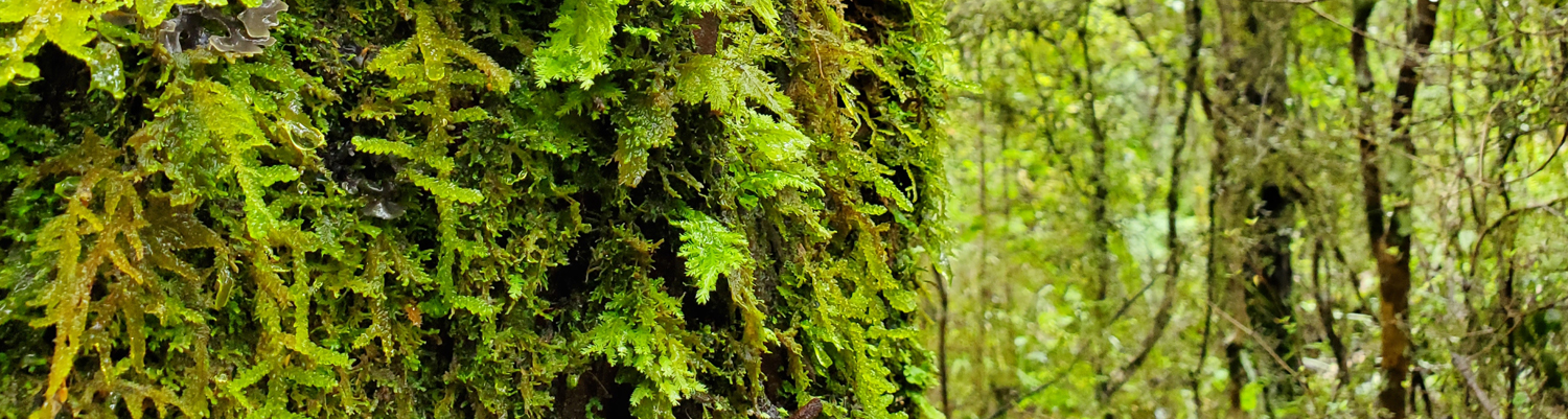
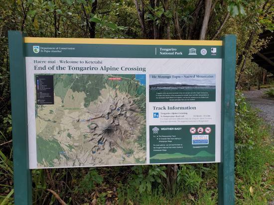
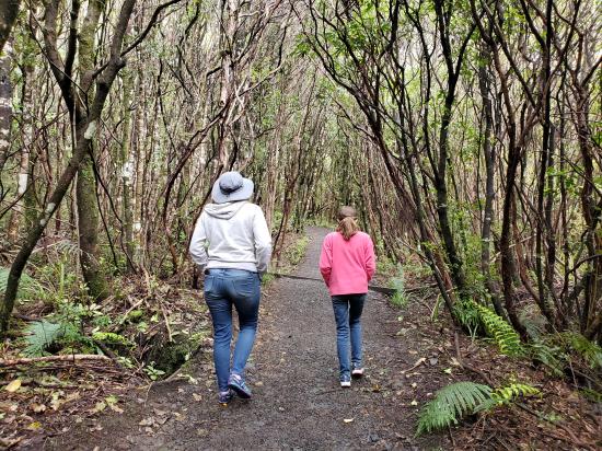
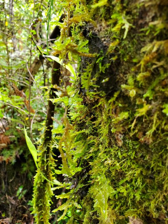
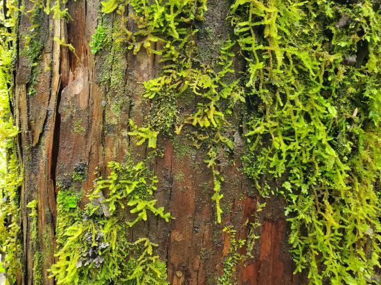
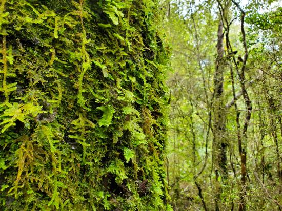
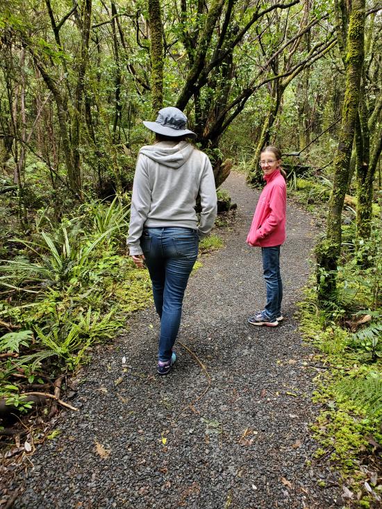
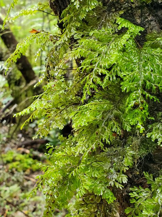
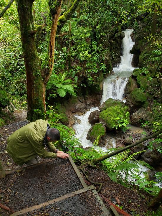
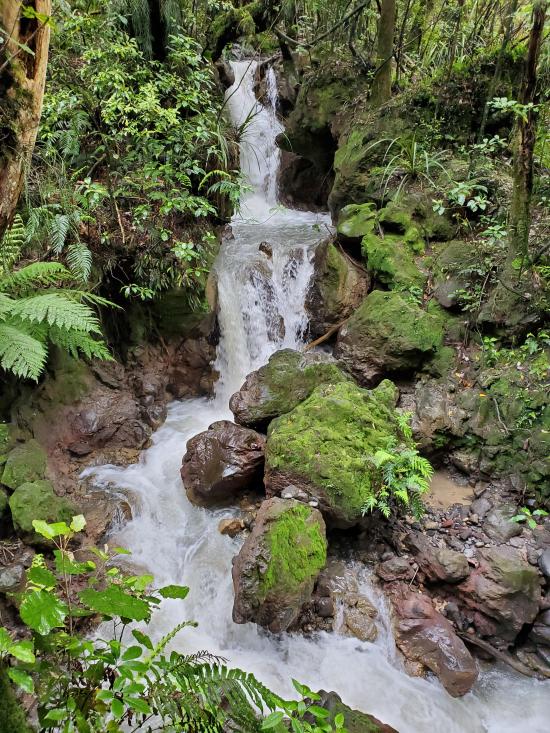
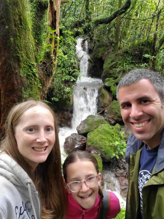
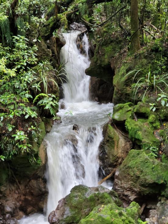
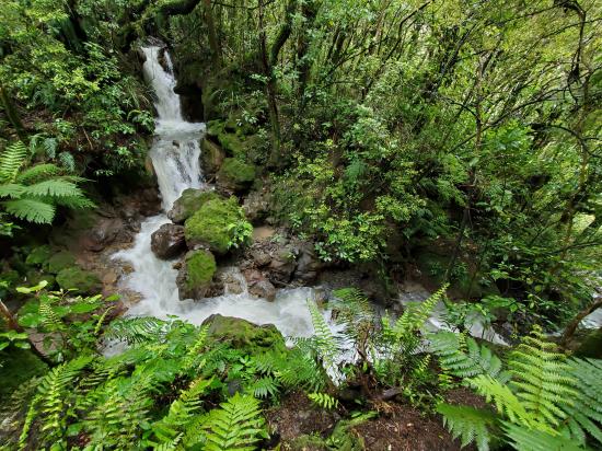
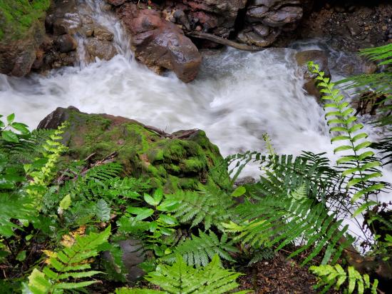
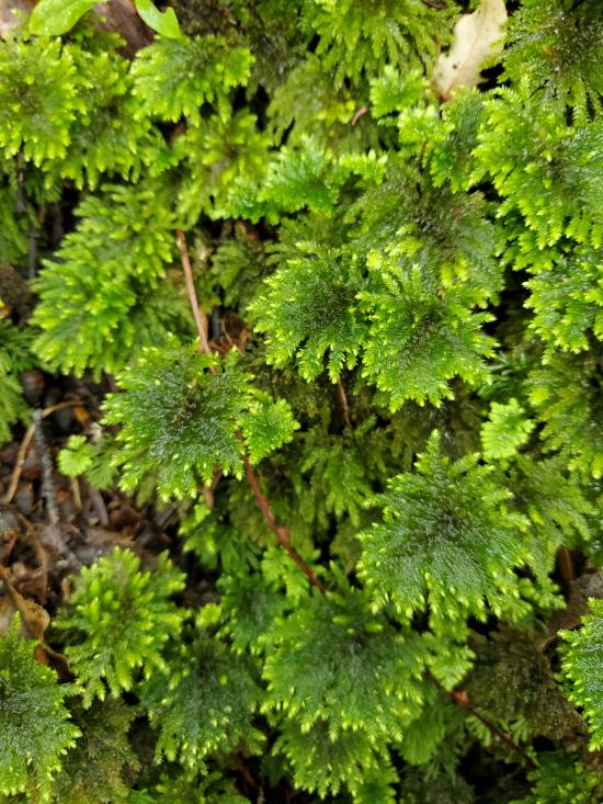
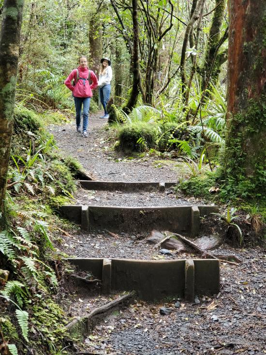
We walked around and looked at the hot springs and geysers and then drove out to Tongariro National Park. We went to the trail end for the Tongariro Alpine Crossing and hiked it in reverse for about a quarter mile to Ketetahi Falls.
We had the whole place to ourselves since all of the other people were hiking the other direction. We only saw one person the whole time. In the busy tourist season, they can have as many as a thousand hikers per day on that trail.
 Sigatoka Sand Dunes National Park
 Sigatoka Sand Dunes National Park Visitor Center
International Antarctic Centre
Fiordland National Park Visitor Centre
Boniface Water Gardens View Point
Turangi Leisure Lodge Mini Golf
 Hiking Trails
 Volcanoes
 Mountains
 Lakes and Reservoirs
 Waterfalls
 Rivers and Streams
 Geothermal Features
 No Drinking Water
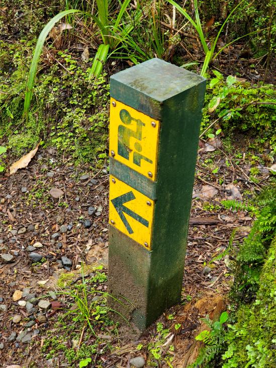
 Marked Trails
 No Restrooms
 Road Access is Paved
 Access Road is 2WD Accessible
 Viewpoint, Overlooks, Vistas
 Wildflowers and Vegitation
 Wildlife and Birding
