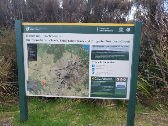
 Hiking | Taranaki Falls Trail


Hype:
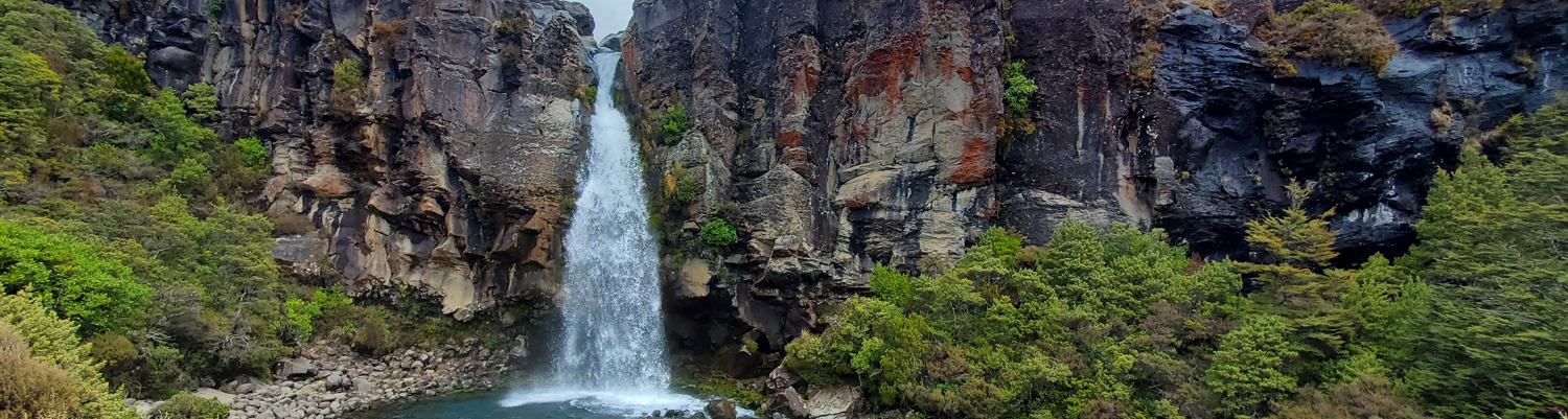
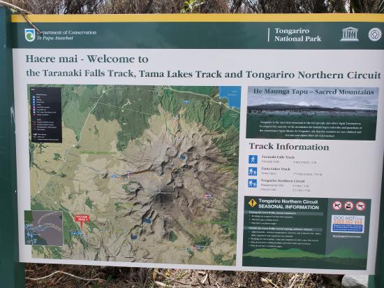
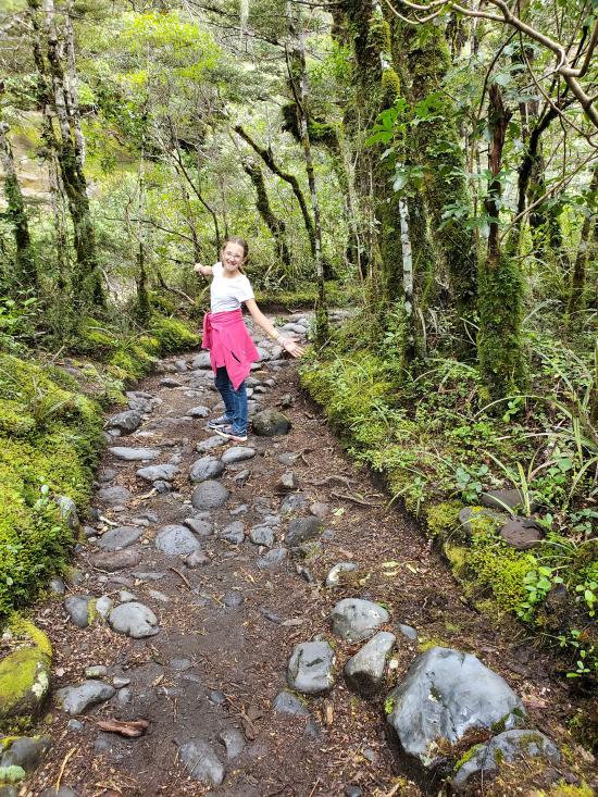
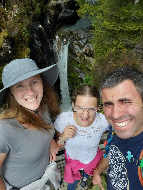
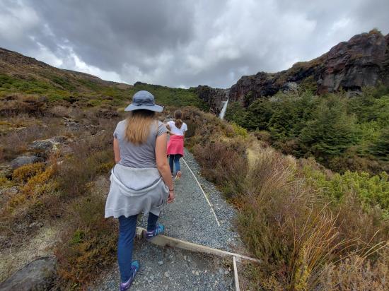
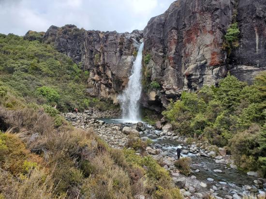
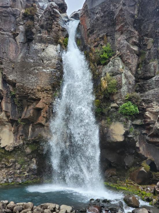
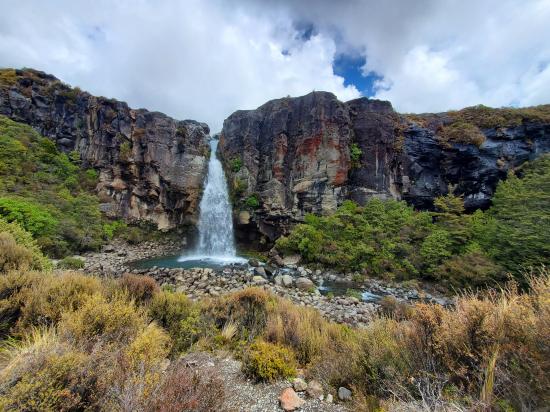
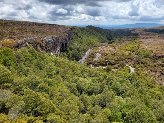
Taranaki Falls Track is an impressive 4-mile loop starting from Whakapapa Village in Tongariro National Park. The track crosses alpine grasslands, beech forests, and other landscapes shaped by incredible nearby volcanoes. Around the midpoint of the loop, the track reaches Taranaki Falls, which plunges nearly 65 feet from volcanic cliffs into a pleasant pool. In addition to the waterfall, there are views of Mount Ruapehu and Mount Ngauruhoe on this picturesque circuit.
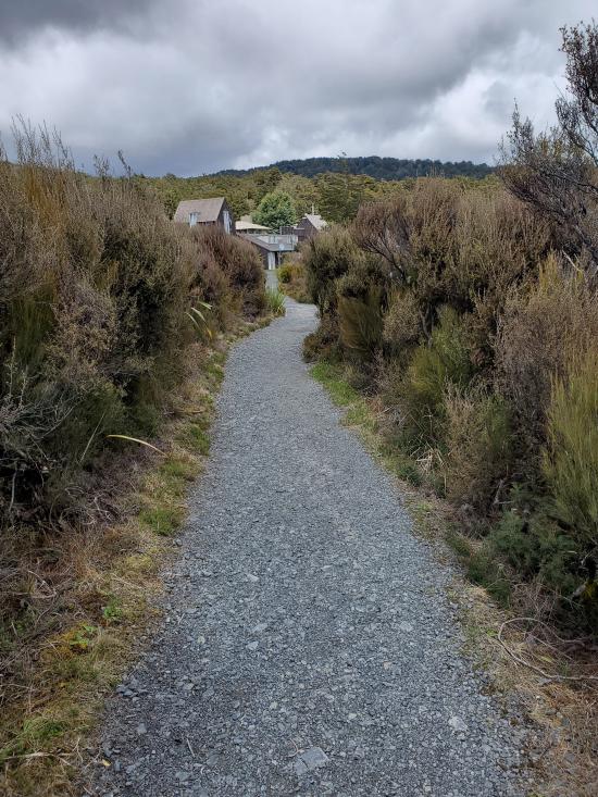
Trail Condition: Class 1 (Trail is either paved or gravel. Navigation skills are not needed because there is only one trail or because there are signs. Elevation gains are gradual or there are stairs.)
Time: 2 hours
Length: 4 mile loop
Elevation Gain: 650 ft
Fees: None
Recommended Ages:
 | 0-3 |
 | 4-11 |
 | 12-19 |
 | 20-49 |
 | 50-69 |
 | 70+ |
Recommended Months to Visit:
| Jan |
| Feb |
| Mar |
| Apr |
| May |
| Jun |
| Jul |
| Aug |
| Sep |
| Oct |
| Nov |
| Dec |
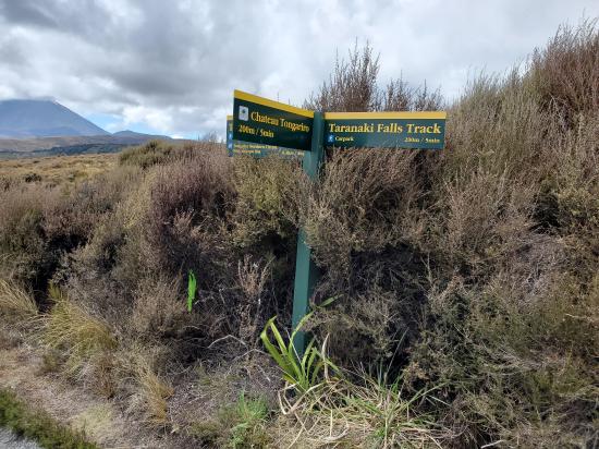
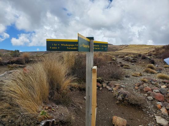
Navigate to -39.199305, 175.538477.
Parking at the trailhead is limited. Park on the shoulder of the road northwest of Chateau Tongariro Hotel.
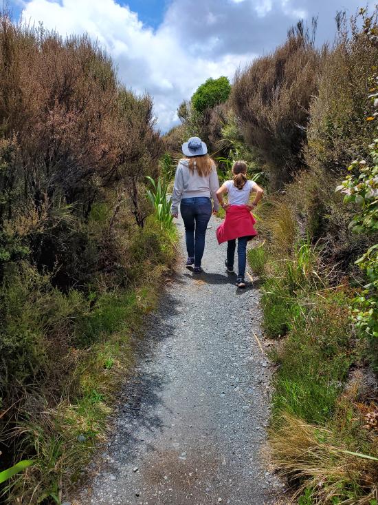
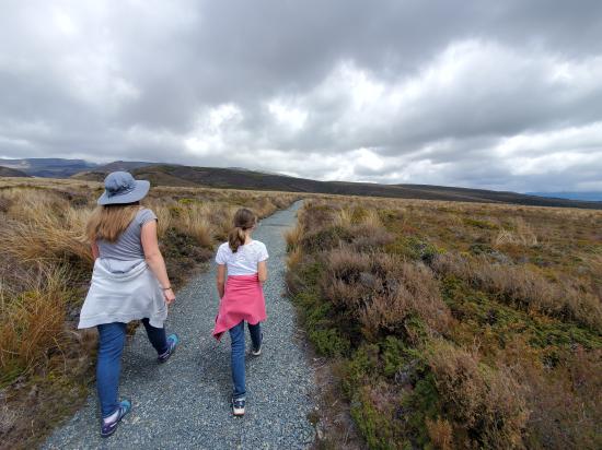
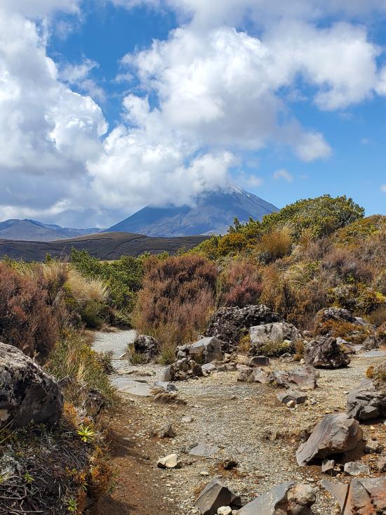
The lower track (more sheltered on windy days) passes through tussock and alpine shrublands before entering beech forest. On a clear day, Ngauruhoe’s symmetrical cone and the older, eroded mountains of Tongariro and Pukekaikiore are visible.
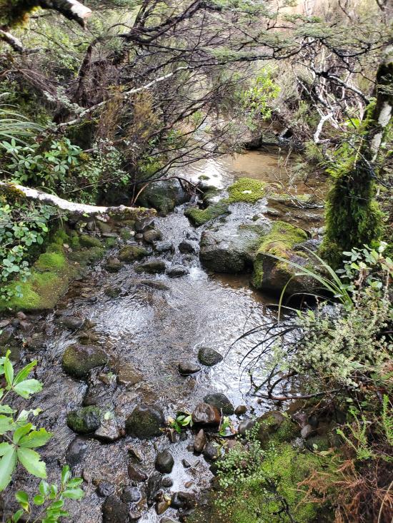
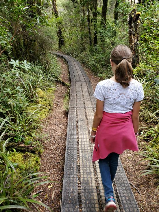
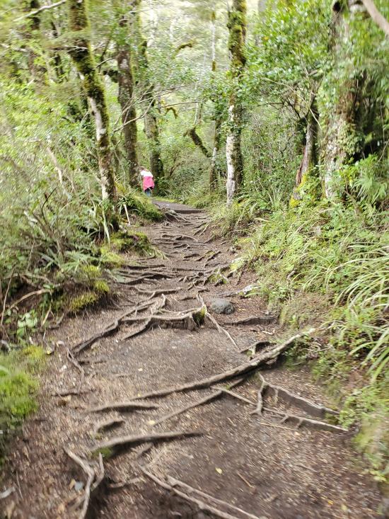
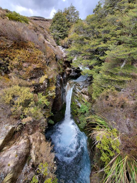
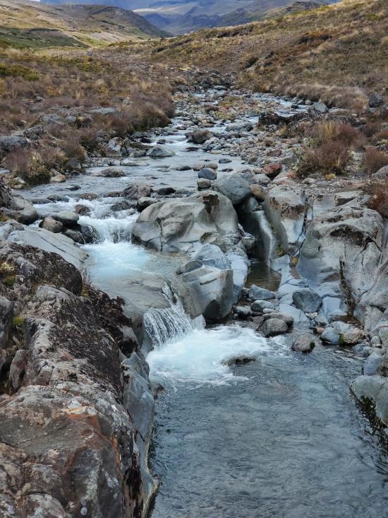
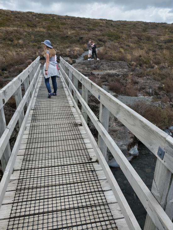
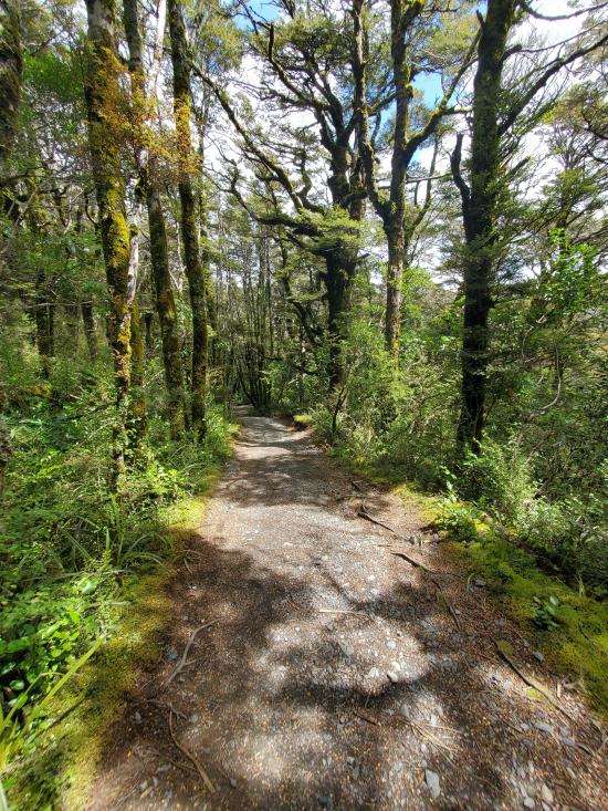
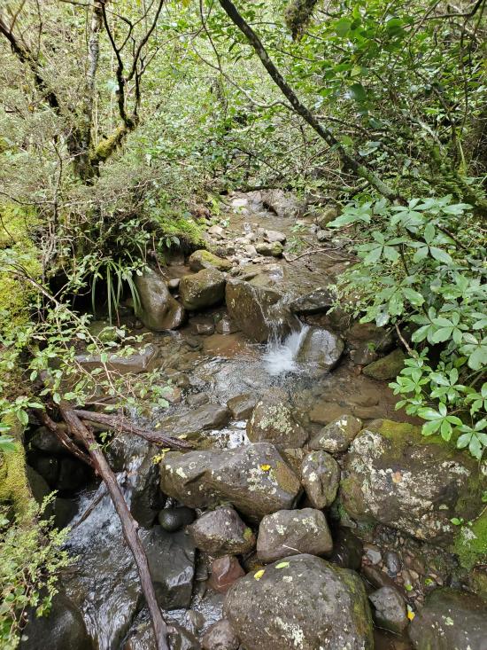
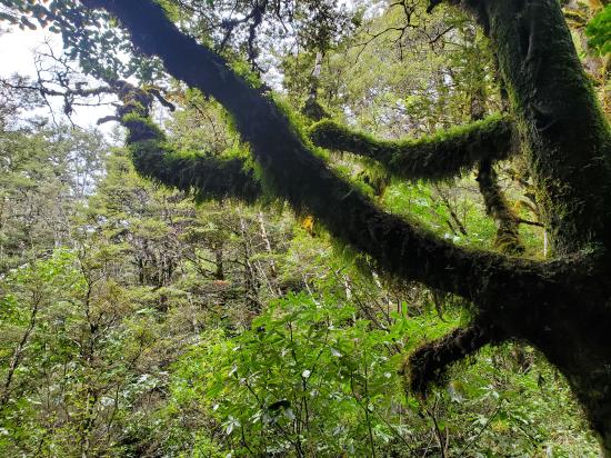
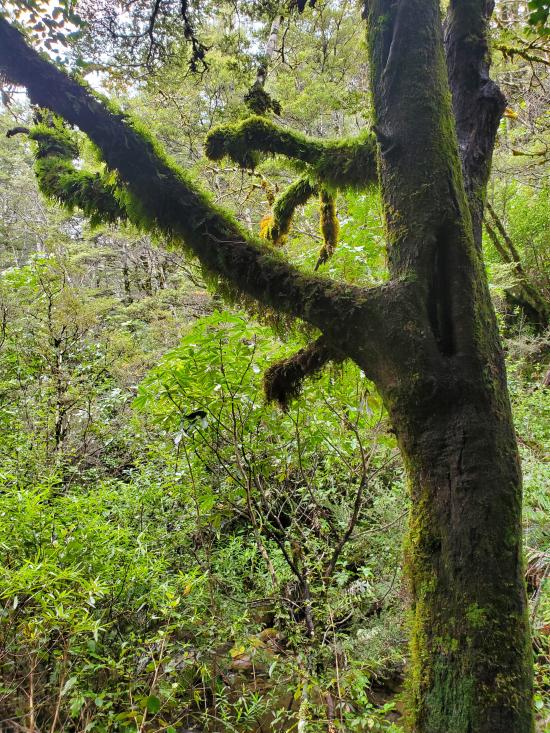
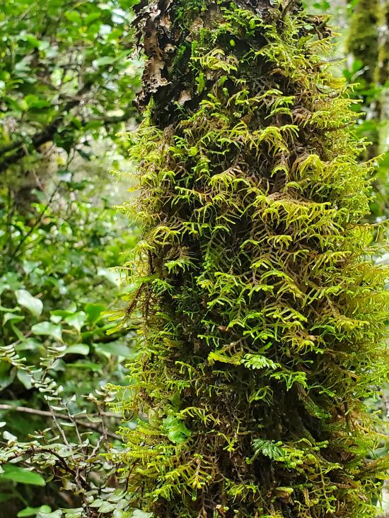
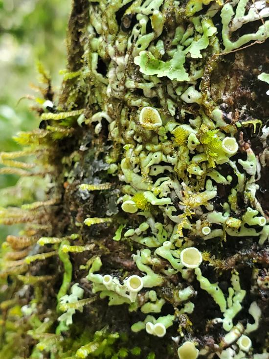
Once in the forest, the track descends to Wairere Stream then climbs alongside it, passing Cascade Falls. The forest consists mainly of large mountain beech trees, shiny broadleaf, mountain five-finger, umbrella ferns, and mountain toatoa. Small native birds such as whiteheads, grey warbler and rifleman are commonly seen.
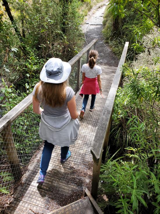
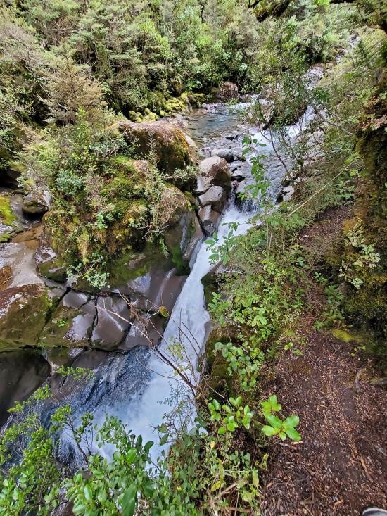
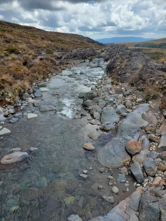
From the forest edge, the track passes over the Wairere Stream with impressive views of a small narrow gorge. Continuing on up the track, Taranaki Falls comes into view tumbling 20 metres over the edge of a large andesite lava flow which erupted from Ruapehu 15,000 years ago.
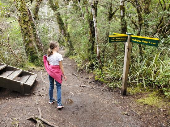
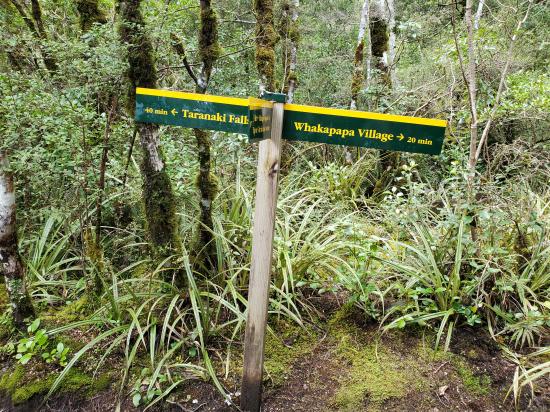
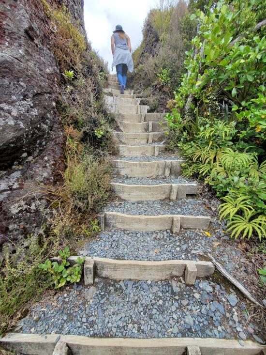
The trail from the falls climbs up a flight of 100 steps to a forest of mountain toatoa before joining the Tama Lakes Track. Turn right to return to Whakapapa, cross Wairere Stream and climb the shoulder of the lava flow, now covered with red tussock. Native birds likely to be heard in this area include pipits, fernbirds and occasionally skylarks.
The return track crosses a series of eroded gullies formed by wind, rain and frost action on volcanic soils. As the trail begins to sidle around the slopes of Mount Ruapehu, it merges with the wider old Waihohonu horse trail. Here, layers of pumice and ash from previous eruptions are exposed. After passing through the last patch of bush, the track emerges again into red tussock and manuka, leading easily back to the village.
Closest City or Region: Tongariro National Park, New Zealand
Coordinates: -39.197515, 175.564363
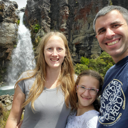
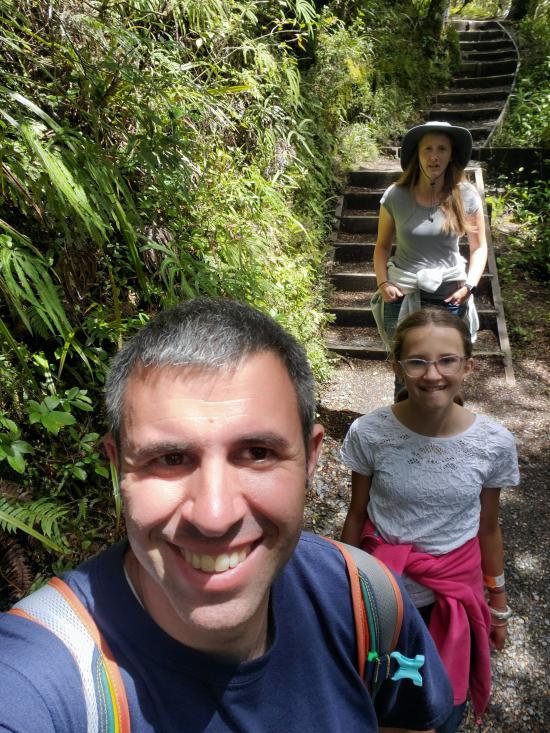
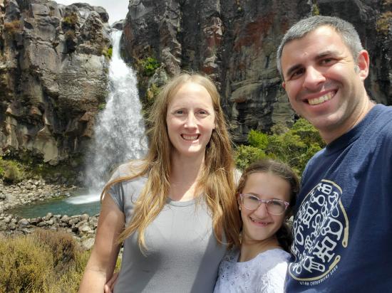
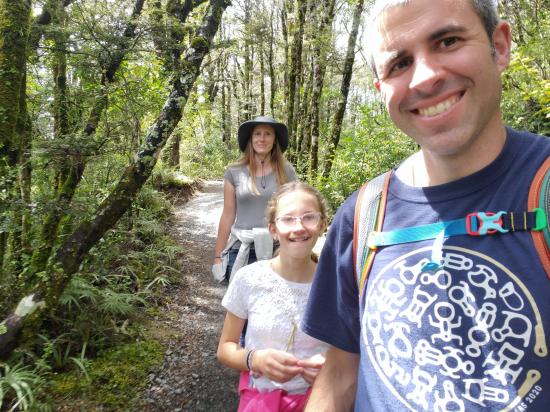
By Jeremy Dye
Jeremy Dye, Tara Dye, Savannah Dye,
Start: 12:40
Falls: 1:40
End: 2:30
We checked out the visitor center and read some of the displays and bought a magnet, ate lunch at a food truck, then we did a hike to Taranaki Falls.
Savannah was pooped out. The hike was nice, but compared to some of the other things that we had done, it wasn't quite as pretty. The waterfall was pretty and the trail was relatively mellow, but Savannah was still pretty tired by the end of it. It's probably a good thing we didn't end up doing the 12 mile Alpine crossing.

 Sigatoka Sand Dunes National Park
 Sigatoka Sand Dunes National Park Visitor Center
International Antarctic Centre
Fiordland National Park Visitor Centre
Boniface Water Gardens View Point
Turangi Leisure Lodge Mini Golf
 Hiking Trails
 Waterfalls
 No Drinking Water
 Volcanoes
 Marked Trails
 No Restrooms
 Road Access is Paved
 Access Road is 2WD Accessible
 Viewpoint, Overlooks, Vistas
 Wildflowers and Vegitation
 Wildlife and Birding
