 Hiking | Marokopa Falls


Hype:
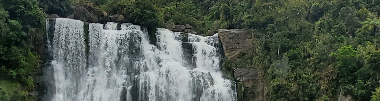
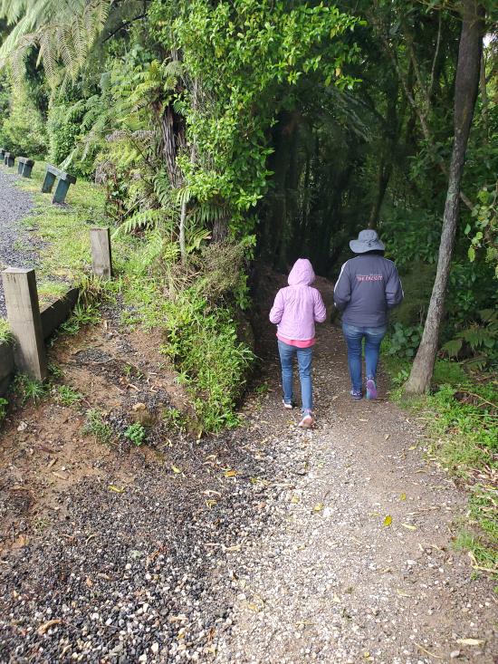
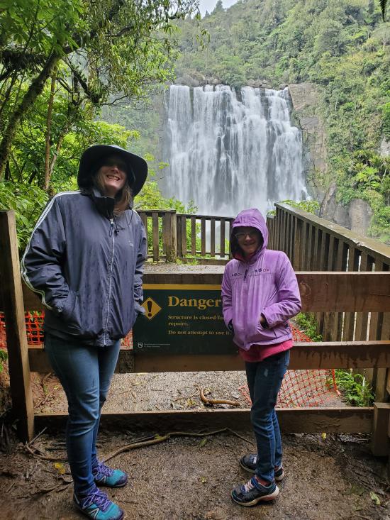
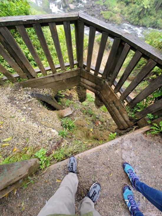
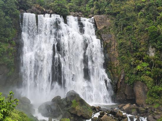
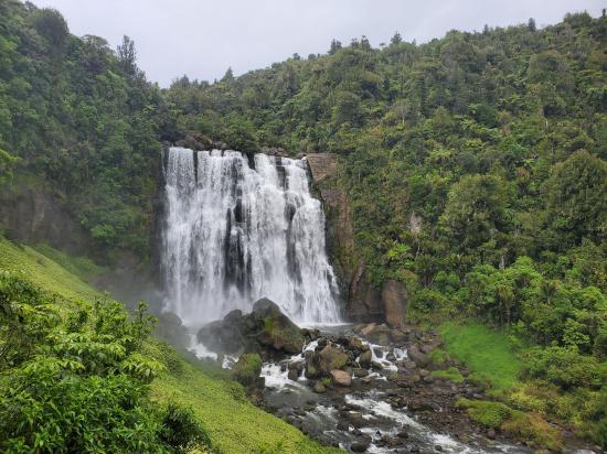
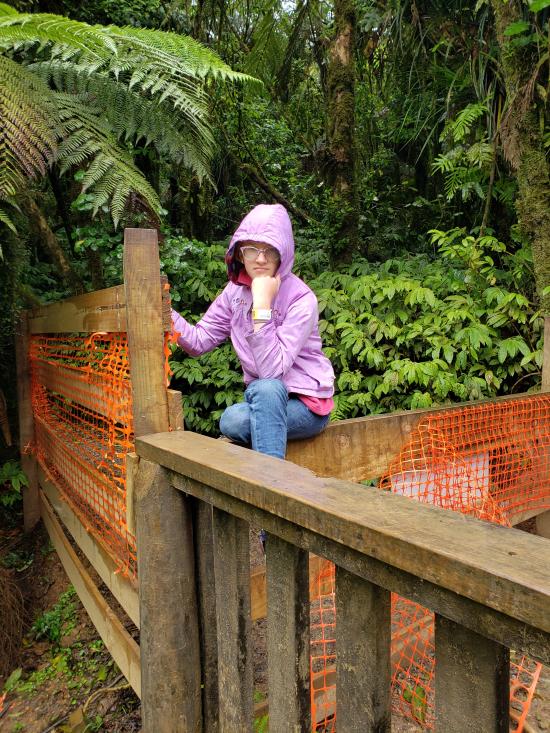
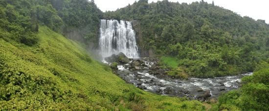
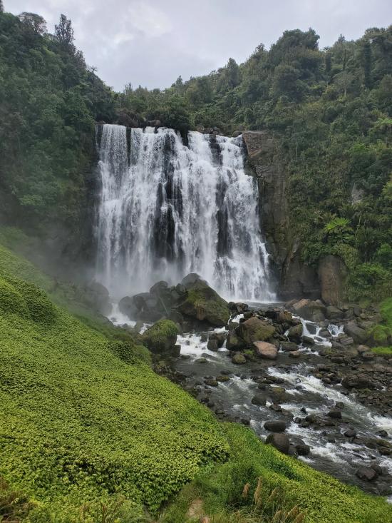
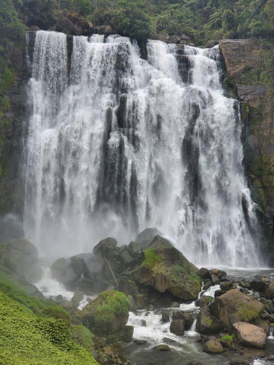
The 35 m high falls are often described as the most beautiful in the country. Here the Marokopa River cascades over the undercut greywacke basement rock. Take the short track through tawa and nikau forest down to the viewing platform.
Trail Condition: Class 1 (Trail is either paved or gravel. Navigation skills are not needed because there is only one trail or because there are signs. Elevation gains are gradual or there are stairs.)
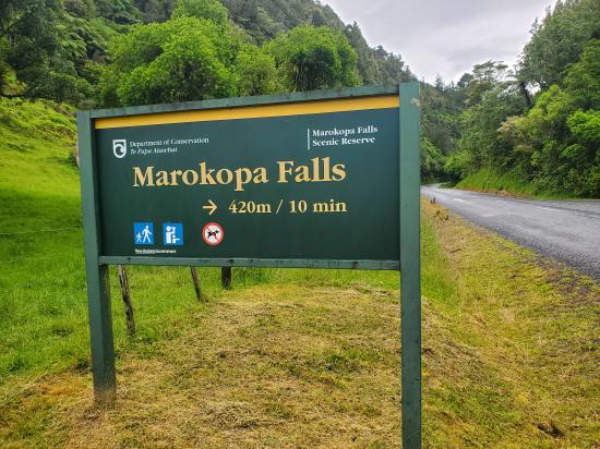
Time: 15-30 minutes
Length: 0.6 miles round trip
Elevation Gain: 250 ft
Fees: None
Recommended Ages:
 | 0-3 |
 | 4-11 |
 | 12-19 |
 | 20-49 |
 | 50-69 |
 | 70+ |
Recommended Months to Visit:
| Jan |
| Feb |
| Mar |
| Apr |
| May |
| Jun |
| Jul |
| Aug |
| Sep |
| Oct |
| Nov |
| Dec |
Navigate to -38.259260, 174.848473.
Closest City or Region: Te Anga, New Zealand
Coordinates: -38.261637, 174.851720
By Jeremy Dye
Jeremy Dye, Tara Dye, Savannah Dye,
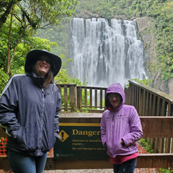
On Thursday, we got up decently early and drove down to the end of the road where we visited Marokopa Falls. That was probably our favorite waterfall of the trip and the trail was also very scenic. It was a very short walk, but that worked out well because we had several short stops in the area.
 Sigatoka Sand Dunes National Park
 Sigatoka Sand Dunes National Park Visitor Center
International Antarctic Centre
Fiordland National Park Visitor Centre
Boniface Water Gardens View Point
Turangi Leisure Lodge Mini Golf
 Waterfalls
 Hiking Trails
 Viewpoint, Overlooks, Vistas
 No Drinking Water
 Mountains
 Marked Trails
 No Restrooms
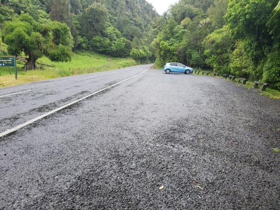
 Road Access is Paved
 Access Road is 2WD Accessible
 Wildflowers and Vegitation
 Wildlife and Birding
