 Hiking | Angel's Palace Trail


Hype:
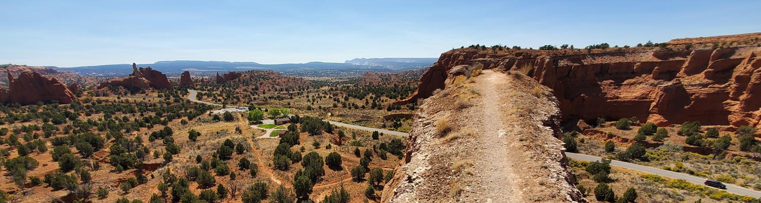
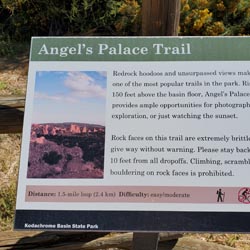
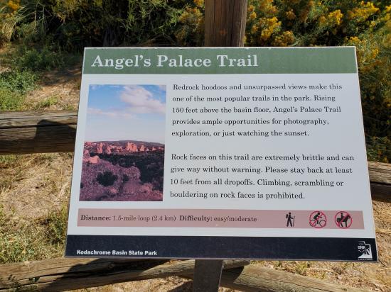
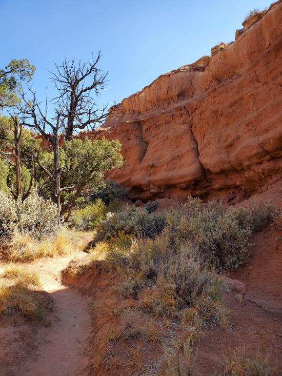
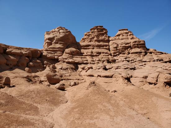
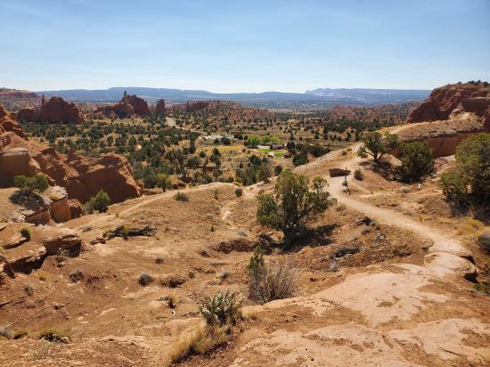
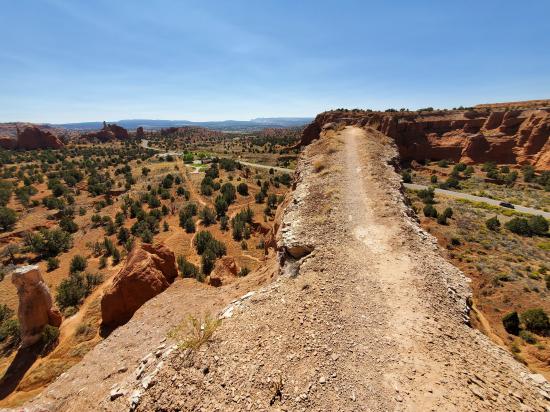
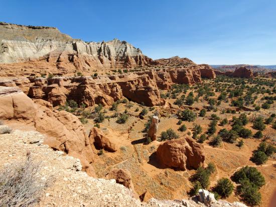
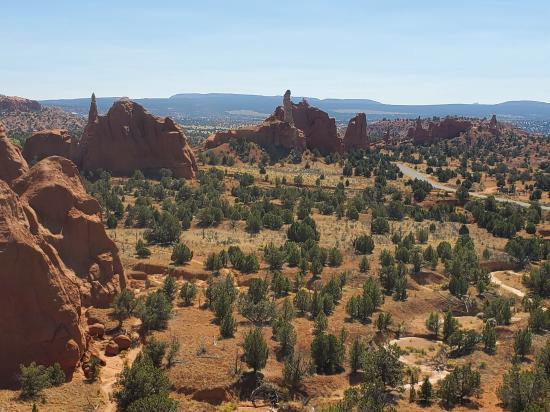
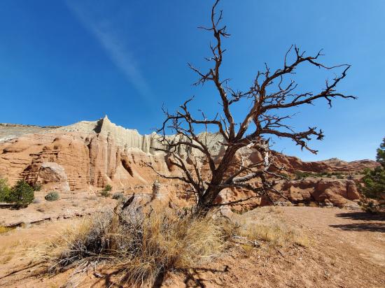
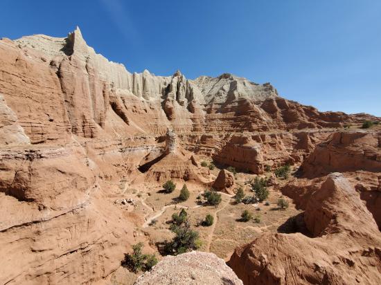
Redrock hoodoos and unsurpassed views make this one of the most popular trails in the park. Rising 150 feet above the basin floor, the Angel's Palace Trail provides ample opportunities for photography, exploration, or just watching the sunset. Rock faces on this trail are extremely brittle and can give way without warning. Please stay back at least 10 feet from all drop-offs. Climbing, scrambling, or boulder on rock faces is prohibited.
Trail Condition: Class 3 (Trail may have sections where hands are needed. Trail may not be visible in spots or may not exist at all.)
Time: 30-60 minutes
Length: 1-2 miles round trip
Elevation Gain: 150 ft
Fees: Park Entrance
Recommended Ages:
 | 0-3 |
 | 4-11 |
 | 12-19 |
 | 20-49 |
 | 50-69 |
 | 70+ |
Recommended Months to Visit:
| Jan |
| Feb |
| Mar |
| Apr |
| May |
| Jun |
| Jul |
| Aug |
| Sep |
| Oct |
| Nov |
| Dec |
Navigate to 37.528799, -111.992183.
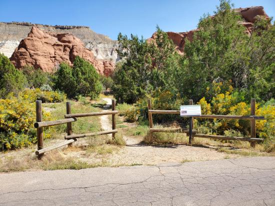
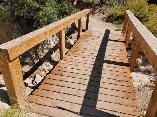
Park in the parking area on the west side of the road.
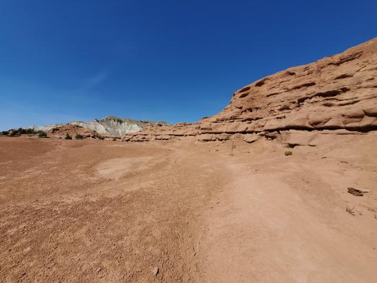
From the trailhead, follow the trail east up a ravine. Near the top of the ravine, there is some easy scrambline to get up to the rim. Once on the rim, circle around to the southwest. The best viewing area is at the southwest end of a large fin. The fin is very narrow, and people afraid of heights or subject to vertigo will probably want to avoid it. Continue around the loop to the southeast to several other overloops.
Closest City or Region: Kodachrome Basin State, Utah
Coordinates: 37.526604, -111.992014
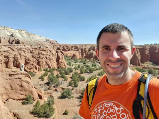
By Jeremy Dye
Start: 12:45
End: 1:10
The trail was not very obvious in places, and there were a lot of social trails interweaving, which made it difficult to avoid adding to the problem. I was pleasantly surprised with the view and really enjoyed the vertigo-inducing walk on the ridge of the fin. It was reminsecent of Angel's Landing in Zion but on a much smaller scale.
Shakespeare Arch/Sentinel Trail
Skutumpah Road Primitive Camping
Shakespeare Arch/Sentinel Trail
Bryce Canyon National Park Visitor Center
Bryce Canyon Wranglers at Ebenezer's Barn and Grill
 Hiking Trails
 No Drinking Water
 Hoodoos
 Mountains
 Wayfinding
 Marked Trails
 No Restrooms
 Road Access is Paved
 Access Road is 2WD Accessible
 Viewpoint, Overlooks, Vistas
 Wildflowers and Vegitation
 Wildlife and Birding