 Hiking | Escalante River to Early Weed Bench


Hype:
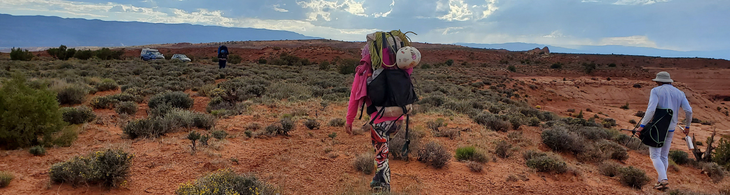
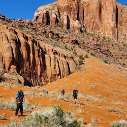
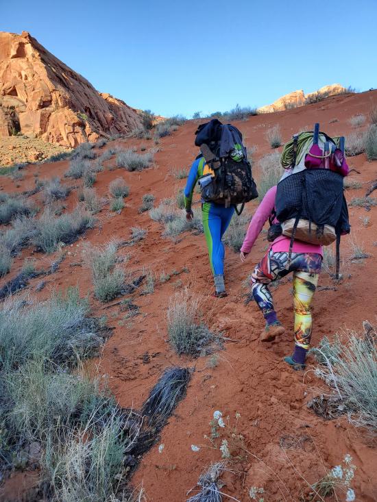
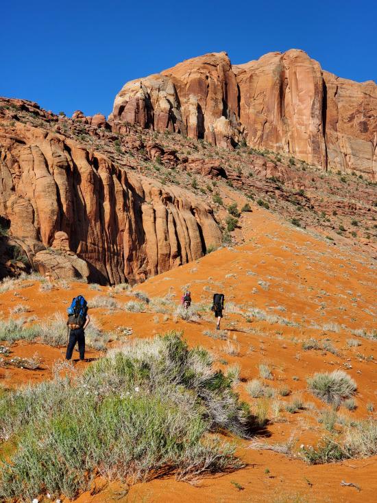
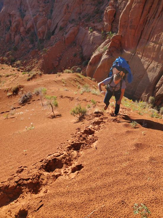
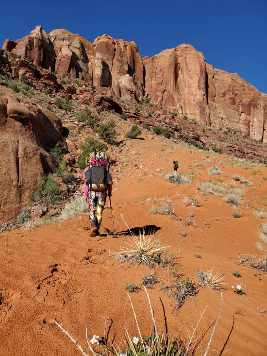
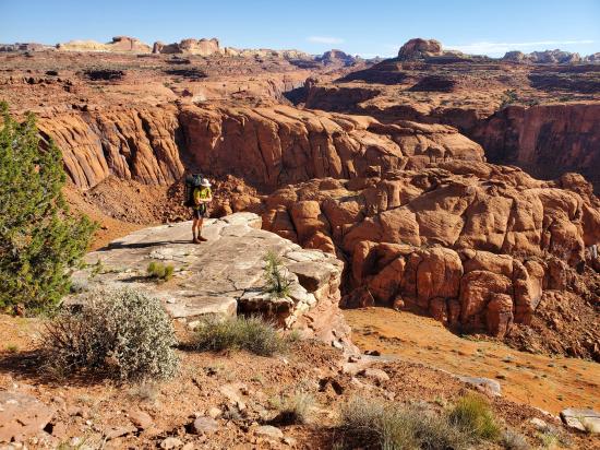
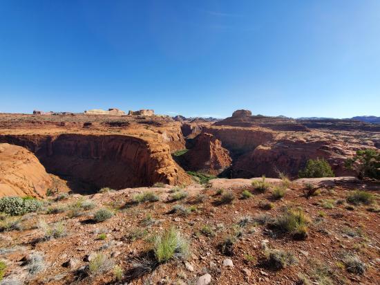
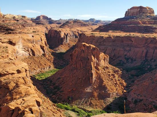
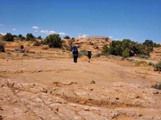
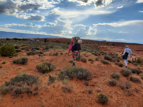
This route (not a trail) takes backpackers from the Escalante River below Scorpion Gulch to the Early Weed Bench trailhead. The route initially follows an old cattle trail that is visible on some topo maps but is only rarely visible on the ground, so it requires skilled navigation. The initial climb from the river up onto the plateau takes hikers up a 500-foot-tall sand dune that just plain sucks. The sand is loose, and it saps your energy. From the top of the sand dune, switchback southeast then northeast to get up onto the bench. Follow the bench north and west for almost 2 miles to a break in the cliffs where you can finish climbing up to the top of the plateau. Once on the plateau, head southwest until you get past the upper fingers of Scorpion Gulch then turn northwest and proceed to the trailhead. The last 9.5 miles have only rolling hills and no major elevation gains, but most of it is over loose sand that also sucks.
Trail Condition: Class 2 (Trail may have tree roots or rocks jutting out. Navigation skills may consist of following rock cairns and choosing turns at junctions. Elevation gains may be more substantial.)
Time: 6-12 hours
Length: 12.75 miles
Elevation Gain: +3,350 ft, -2020 ft
Fees: None
Recommended Ages:
 | 0-3 |
 | 4-11 |
 | 12-19 |
 | 20-49 |
 | 50-69 |
 | 70+ |
Recommended Months to Visit:
| Jan |
| Feb |
| Mar |
| Apr |
| May |
| Jun |
| Jul |
| Aug |
| Sep |
| Oct |
| Nov |
| Dec |
Navigate to 37.524216, -111.038424.
Exit the Escalante River at the bottom of the giant red sand dune.
Closest City or Region: Escalante, Utah
Coordinates: 37.522631, -111.039987
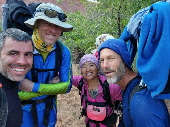
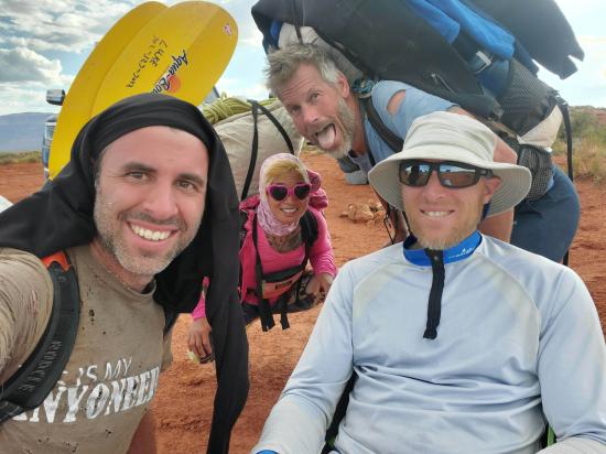
By Jeremy Dye
Jeremy Dye, Luke Galyan, Tracy Kwan, Mark Burnham,
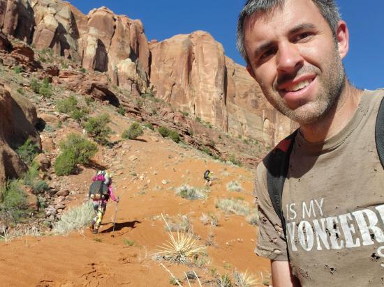
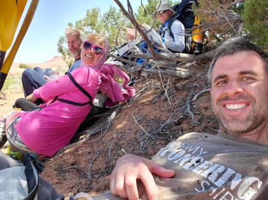
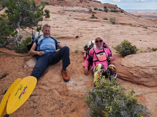
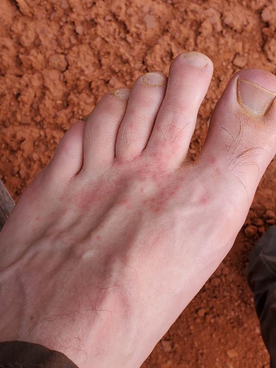
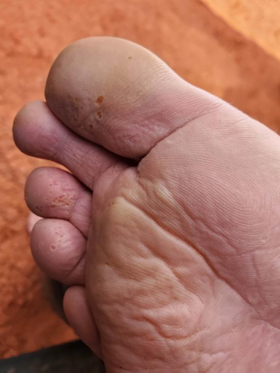
On day 4 of my canyoneering trip, we got up fairly early and started hiking by 7:40. The hike out was a horrible, miserable, terrible, no-fun, grueling, tedious, painful ordeal. We first hiked up a giant sand dune. Then we walked a shelf around the whole plateau to find a way up the band of cliffs. Then we slogged across the sandy desert for 8 more hours. It got pretty hot in the afternoon. Mark was in a lot better shape than the rest of us and could have done the hike a lot faster, but we took a lot of shade breaks along the way. The exit his was about 12 or 13 miles, and it took us 10.5 hours, way longer than it should have. It likely took us so long because we didn't pack quite enough food to keep our calorie intake where it should have been. I guess that's the cost of packing ultra light! We got to the cars around 6:15.
On the way home, we stopped in Escalante for dinner. I got home about 1:15 AM. What a long and tiring trip. My GPS tracks added up to about 55 miles total over the 4 days, but that's likely a bit high because of GPS wiggles.

 Early Weed Bench Primitive Camping
 Early Weed Bench to Escalante River
Escalante River Primitive Camp 1
Escalante River Primitive Camp 2
Escalante River Primitive Camp 2
Big Hollow Wash Primitive Camping
Chimney Rock Primitive Camping
Early Weed Bench Primitive Camping
Escalante River Primitive Camp 1
Escalante River Primitive Camp 2
Fence Canyon Primitive Camping
Jacob Hamblin Trailhead Primitive Camping
Micro Death Hollow Primitive Camping
Zebra and Tunnel Trailhead Camping
Dry Fork Narrows of Coyote Gulch
Early Weed Bench to Escalante River
Escalante River to Early Weed Bench
Escalante Interagency Visitor Center
Camping at Halls Creek and Millers Creek Confluence
Escalante River Primitive Camp 1
Escalante River Primitive Camp 2
Fence Canyon Primitive Camping
Iceberg Canyon Primitive Camping
Navajo Canyon Primitive Camping
Stud Horse Point Primitive Camping
West Canyon Primitive Camping 1
West Canyon Primitive Camping 2
Baboon Laughs Canyon (aka Laughing Baboon Canyon)
Poe Canyon (aka Smiling Cricket Canyon)
Early Weed Bench to Escalante River
Escalante River to Early Weed Bench
Lee's Ferry Historic District River Trail
Navajo Bridge Interpretive Center
 Hiking Trails
 No Drinking Water
 Desert
 Rivers and Streams
 Wayfinding
 No Restrooms
 Road Access is Dirt - High Clearance
 Access Road is 2WD Accessible
 Wildflowers and Vegitation
 Wildlife and Birding