 Hiking | Skyline Trail to Myrtle Falls


Hype:
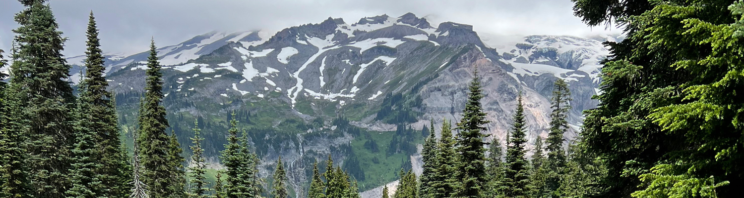
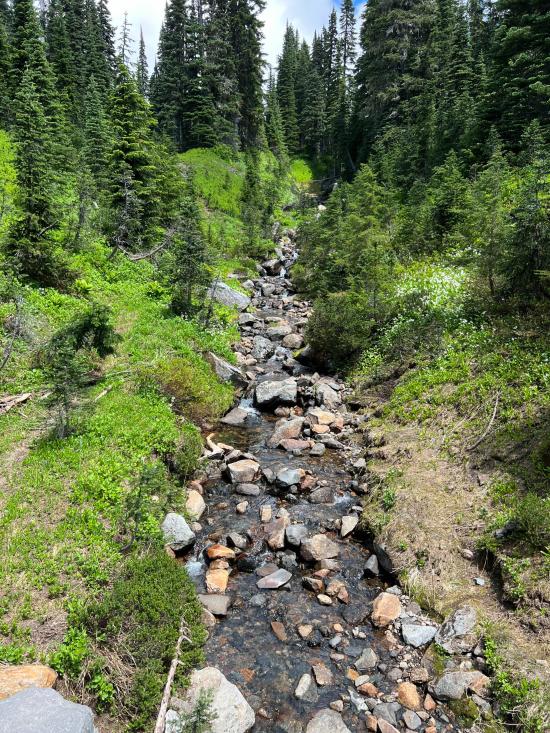
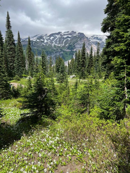
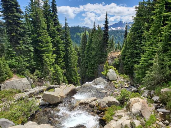
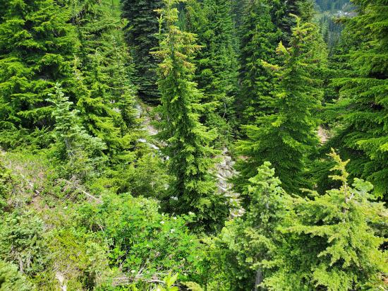
If you can tear your eyes away from the view of Mount Rainier at Paradise, there is another nearby attraction: 72-foot-high Myrtle Falls. With Mount Rainier in the background, it’s where everyone with a camera stops for a photo. This picturesque setting is known as one of the most photographed areas of the park – and as a bonus, it’s an easy walk to the falls. Here the waterfall drops down a deep gorge carved out by Edith Creek on its wild journey to the Paradise Valley. Though the falls flow year-round, they are not accessible when trails are snowbound during winter.
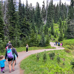
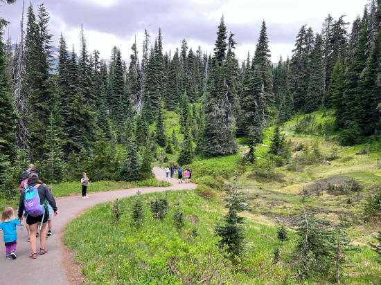
Trail Condition: Class 1 (Trail is either paved or gravel. Navigation skills are not needed because there is only one trail or because there are signs. Elevation gains are gradual or there are stairs.)
Time: 30 minutes
Length: 1 mile round trip
Elevation Gain: 200 ft
Fees: None
Recommended Ages:
 | 0-3 |
 | 4-11 |
 | 12-19 |
 | 20-49 |
 | 50-69 |
 | 70+ |
Recommended Months to Visit:
| Jan |
| Feb |
| Mar |
| Apr |
| May |
| Jun |
| Jul |
| Aug |
| Sep |
| Oct |
| Nov |
| Dec |
Closest City or Region: Mount Rainier National Park
Coordinates: 46.791156, -121.732084
By Jeremy Dye
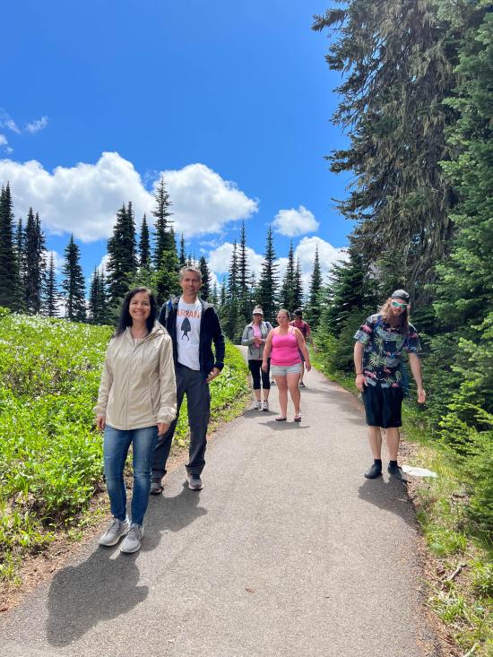
Tara Dye, Anthony Dye, Arianne Dye, Miller Dye, Ondylyn Wagner, Jaren Wagner, Killian Wagner, Calliope Wagner,
Start: 1:00
Myrtle Falls: 1:20
Edith Gorge Falls: 1:50
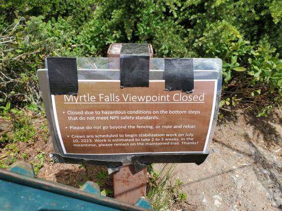
My parents, Leslie, Cooper, and I drove down to a lower trailhead while Tara, Anthony family, and Ondy family hiked from the visitor center to the lower trailhead. Well, there were a couple problems with our plan. The first problem is that there wasn't actually a trail connecting the upper waterfall to the lower pullout. The second problem was that the upper waterfall lookout was closed. So all of the hikers got up to the top looked at the river above the waterfall and then head to hike back to the visitor center and down the road to the pull out. Luckily it wasn't a long trail so we were able to rejoin without too much headache.
 Hagerman Fossil Beds National Monument
 Fort Dalles Museum and Anderson Homestead
Columbia Gorge Discovery Center & Museum
Mount St. Helens National Volcanic Monument
Mount St. Helens Visitor Center at Silver Lake
Recycled Spirits of Iron Sculpture Park
Longmire Transportation Exhibit
Henry M Jackson Visitor Center
 Hiking Trails
 Waterfalls
 Rivers and Streams
 Mountains
 Marked Trails
 Viewpoint, Overlooks, Vistas
 Wildflowers and Vegitation
 Wildlife and Birding
