 Caving | Sorrel Mule Mine


Hype:
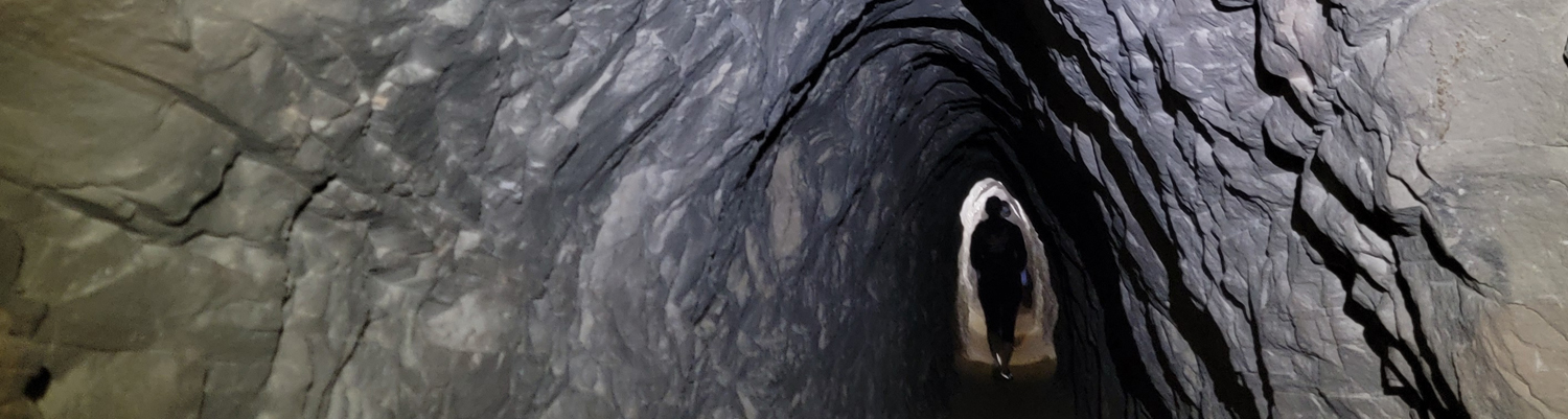
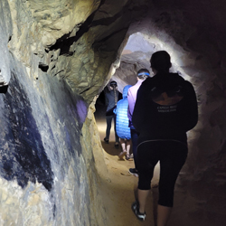
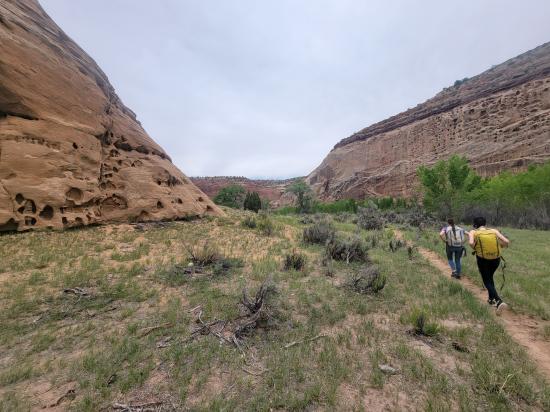
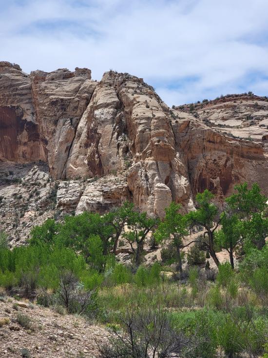
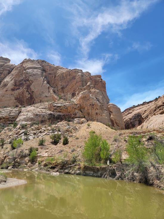
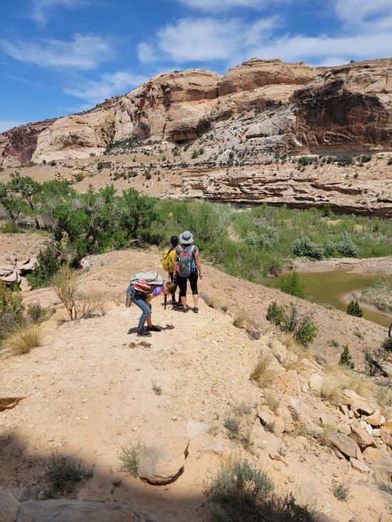
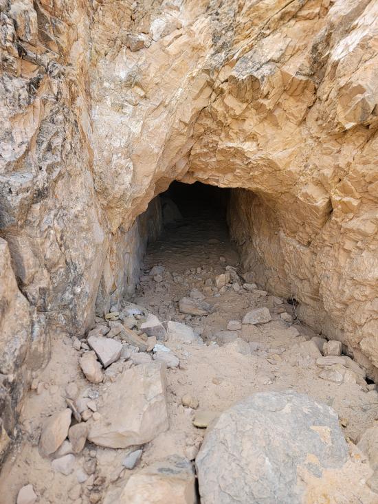
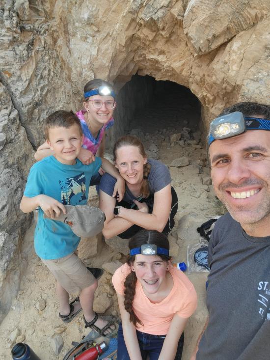
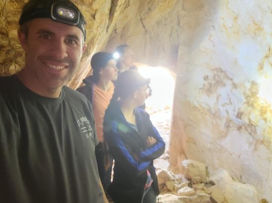
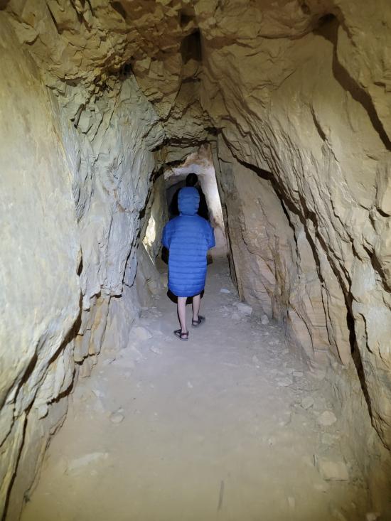
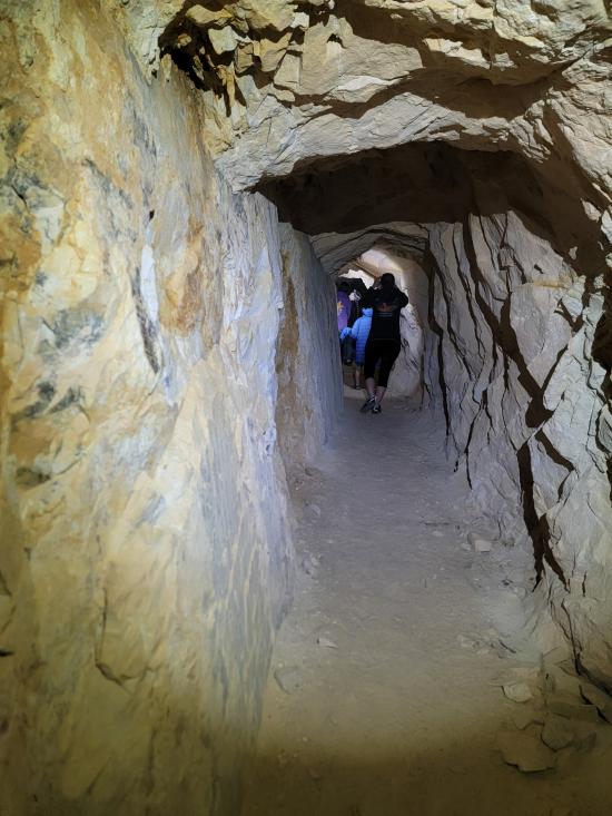
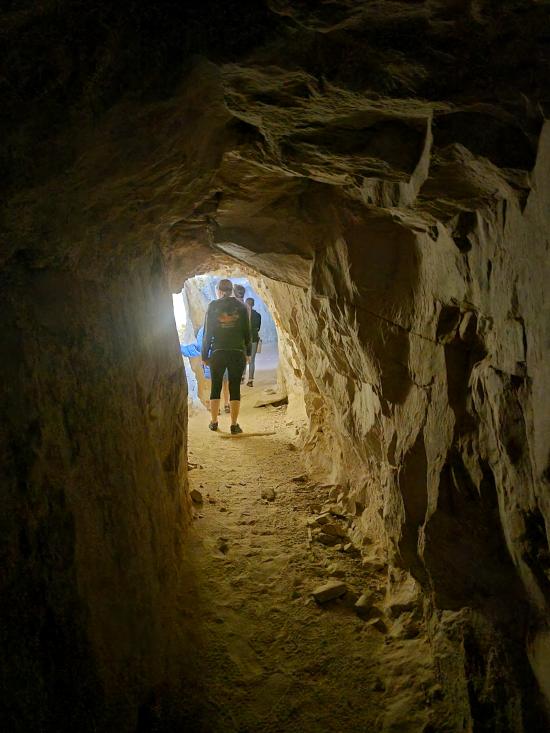
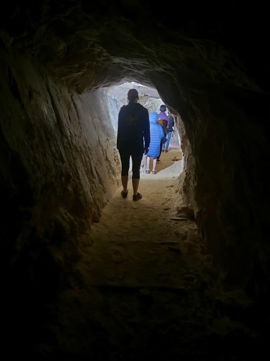
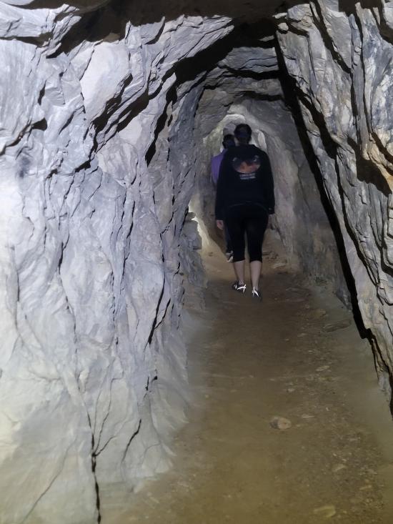
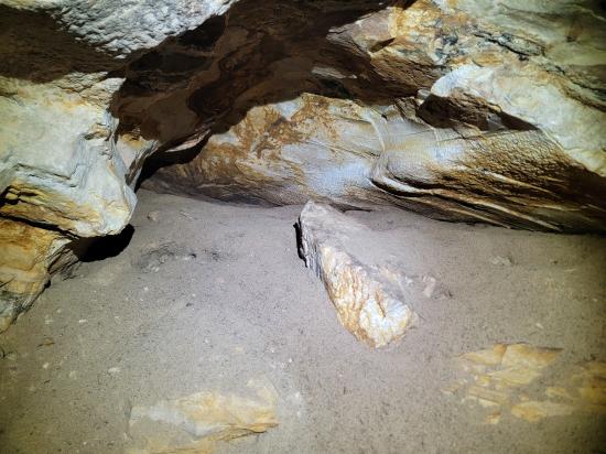
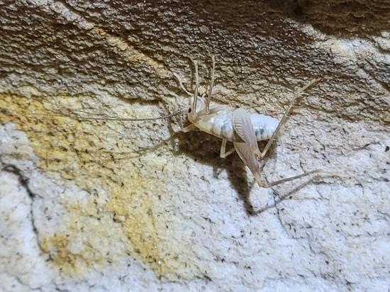
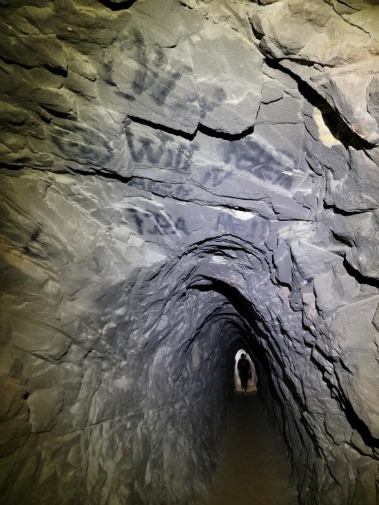
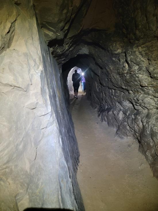
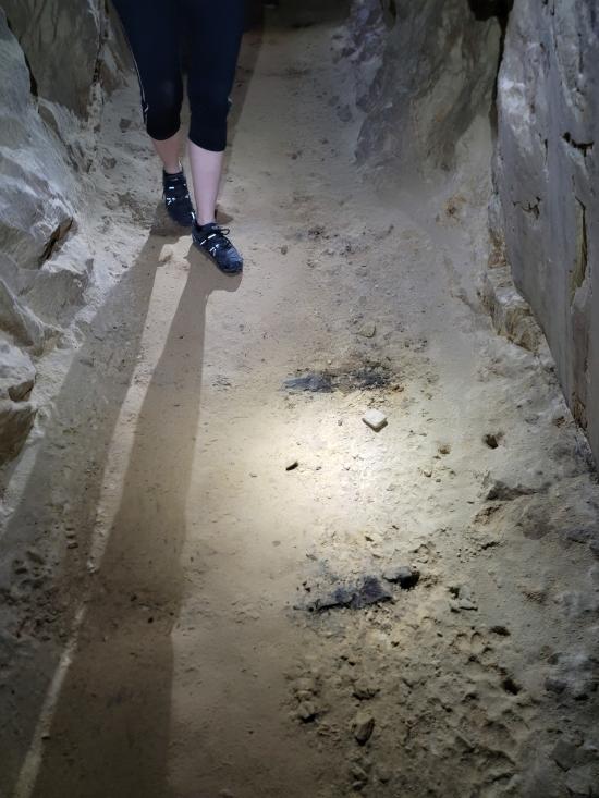
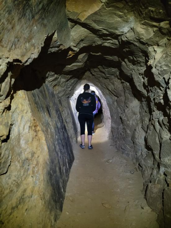
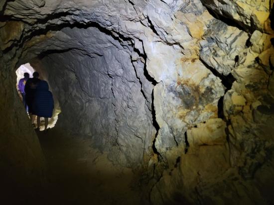
The Sorrel Mule Mine is an old copper mine located along the San Rafael River in the San Rafael Swell of central Utah. Access to the mine is via the Little Grand Canyon hiking trail. The mine is noted for its deep shaft, which is reported to go almost 2,000 feet into the rock. The mine is open to visitors and is quite cool compared to the outside, so a jacket is recommended. The mine shaft stays generally straight with only a couple forks. Although it is quite long, tt would be difficult to get lost inside.
Cave Type: Horizontal
Time: 1 hour
Length: 2,000 ft
Depth: Negligible
Gear: Headlamp.
Fees: None
Recommended Ages:
 | 0-3 |
 | 4-11 |
 | 12-19 |
 | 20-49 |
 | 50-69 |
 | 70+ |
Recommended Months to Visit:
| Jan |
| Feb |
| Mar |
| Apr |
| May |
| Jun |
| Jul |
| Aug |
| Sep |
| Oct |
| Nov |
| Dec |
Permits: Open
Links: http://udink.org/2011/02/22/san-rafael-river-sorrel-mule-mine/https://www.roadtripryan.com/go/t/utah/san-rafael-swell/sanrafaelgorge
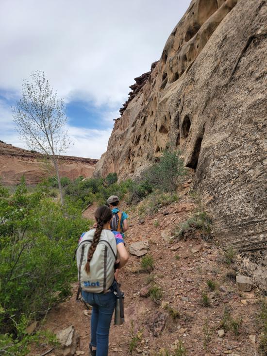
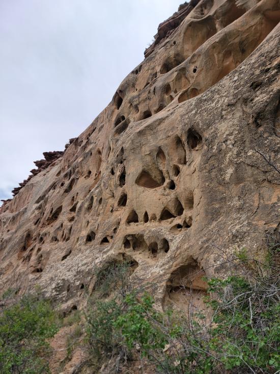
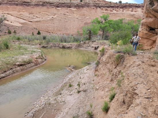
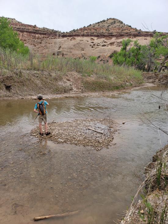
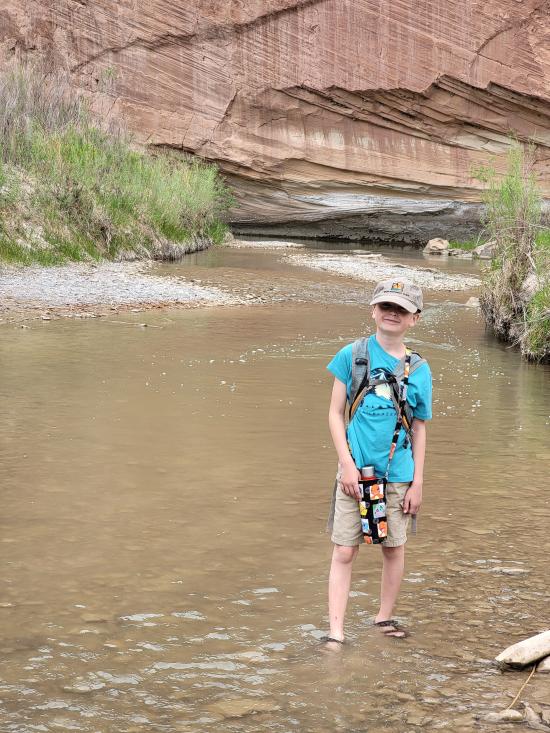
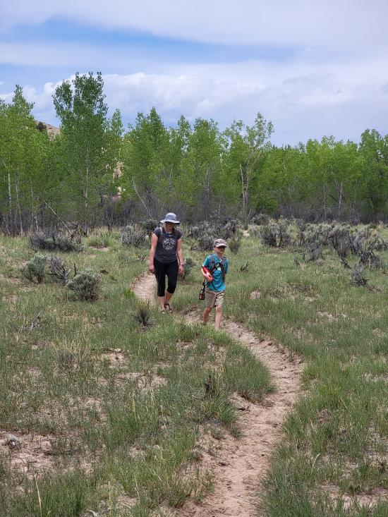
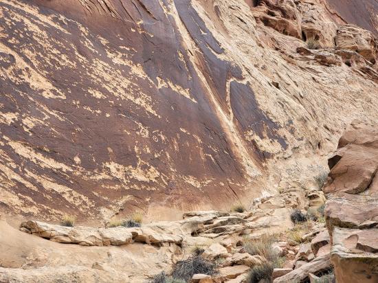
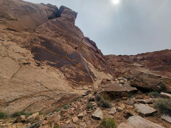
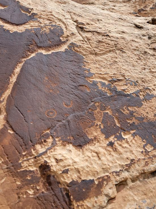
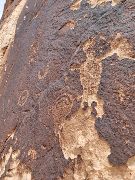
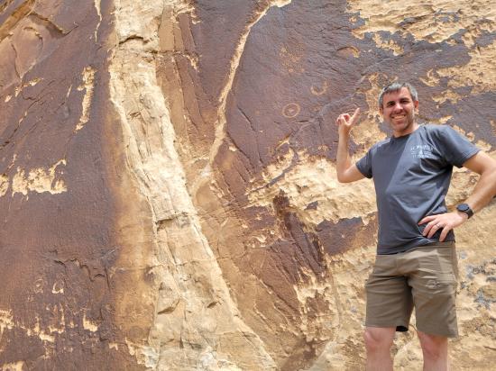
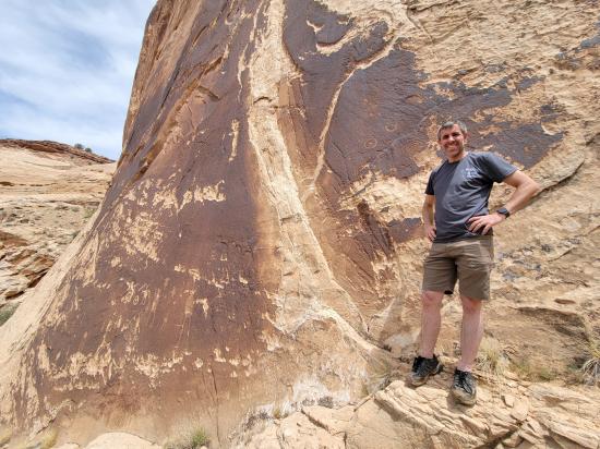
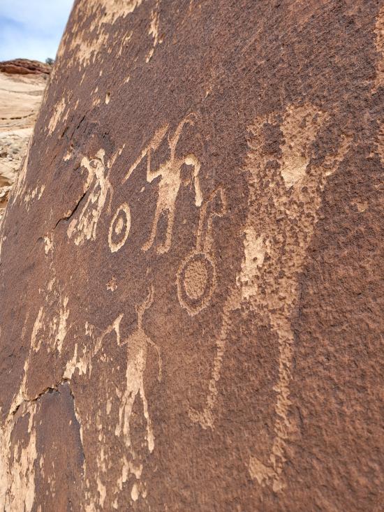
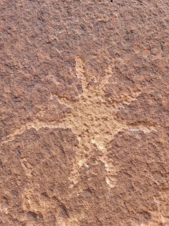
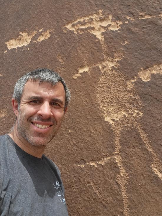
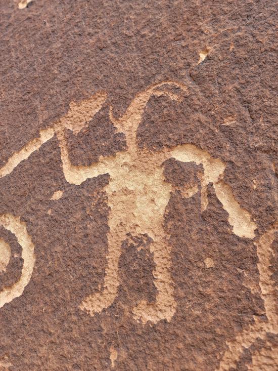
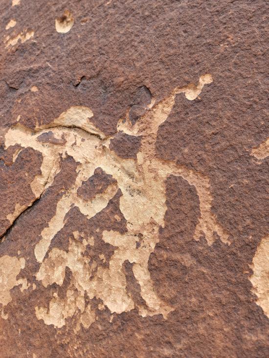
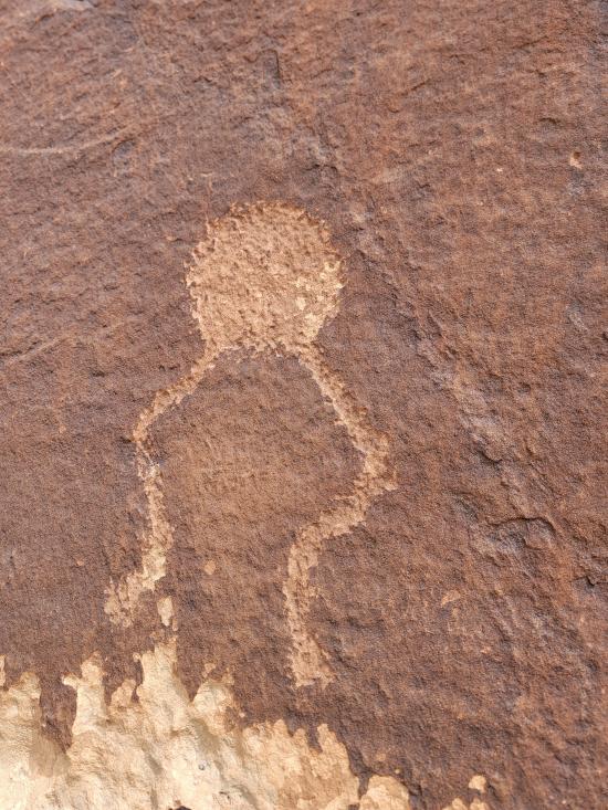
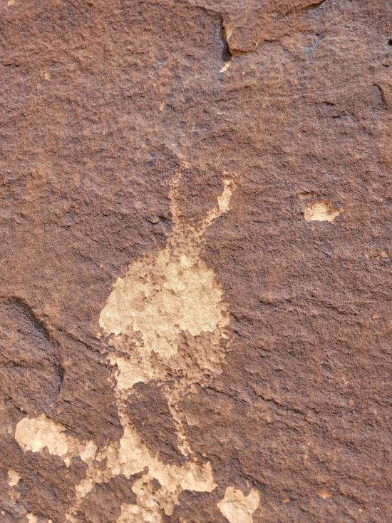
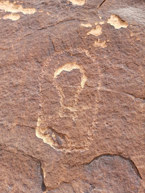
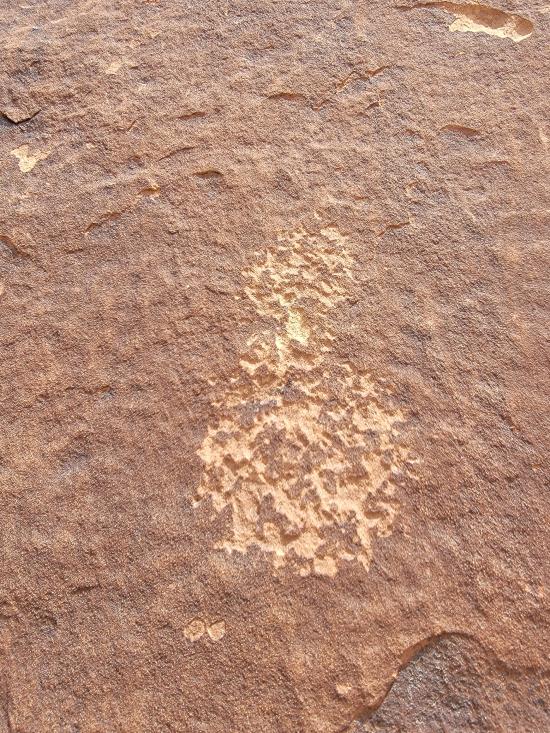
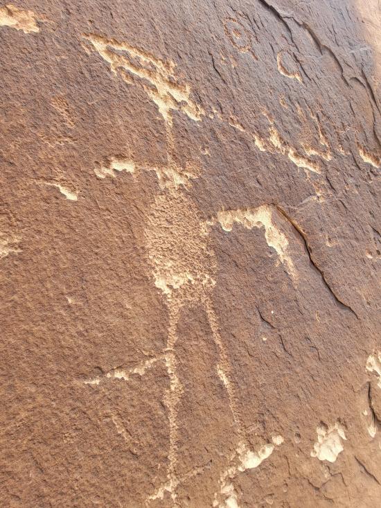
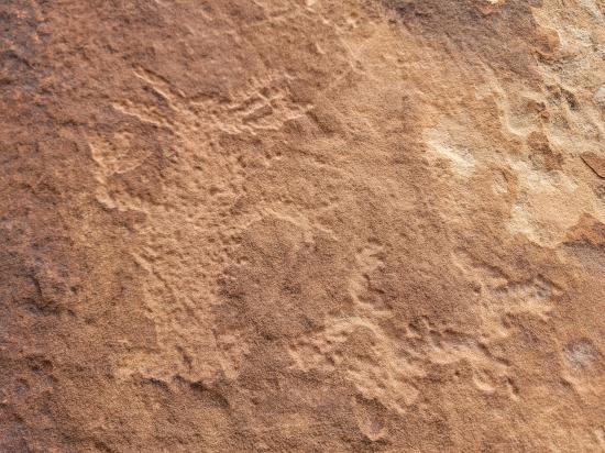
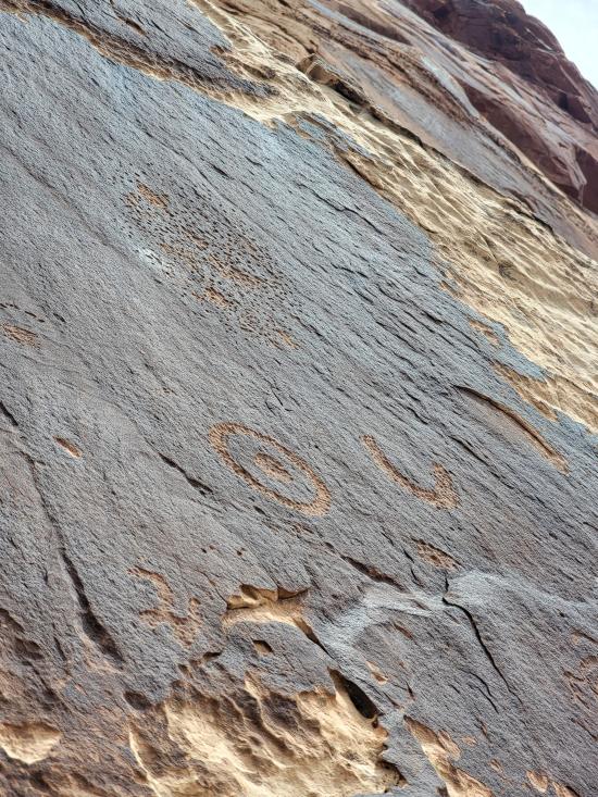
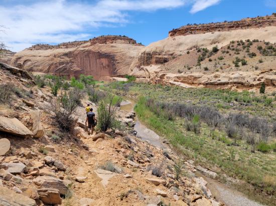
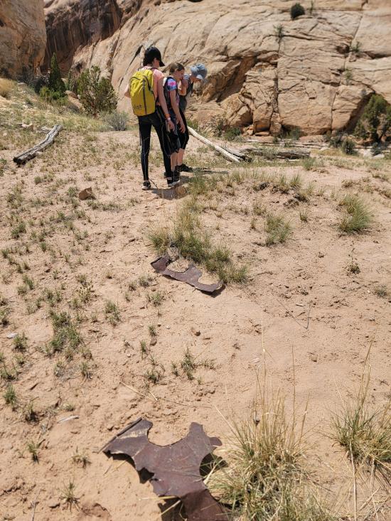
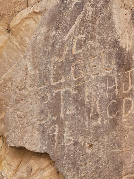
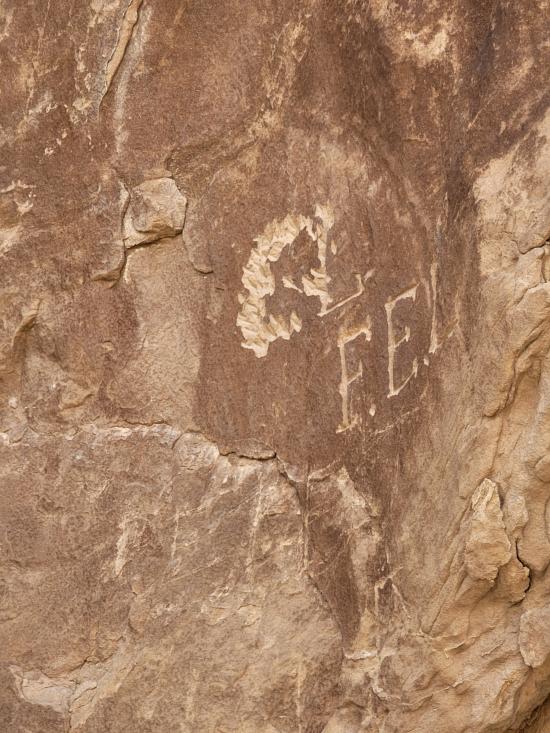
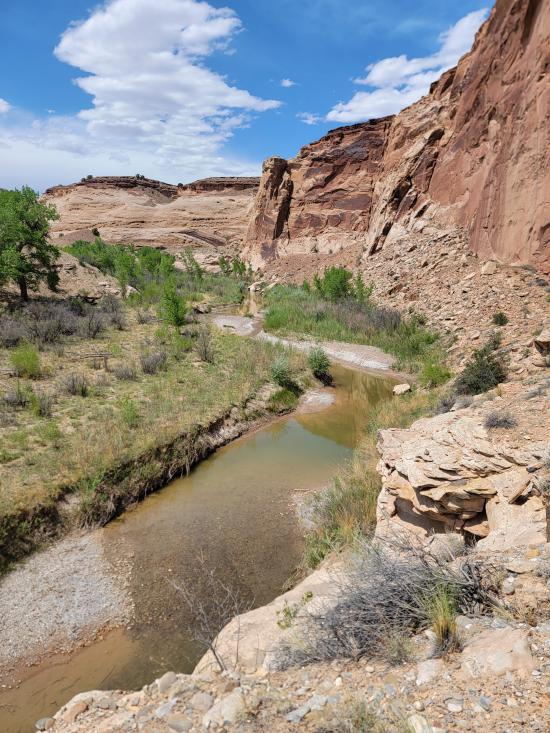
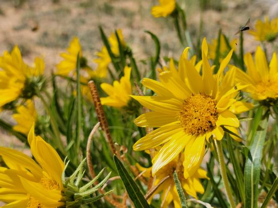
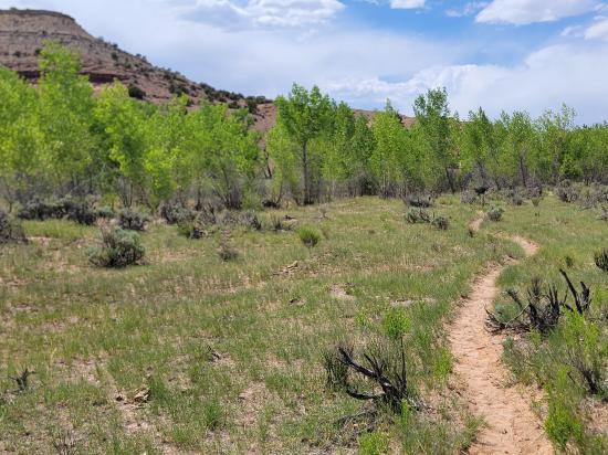
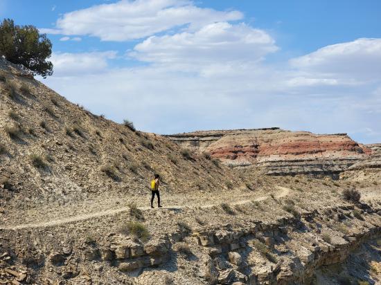
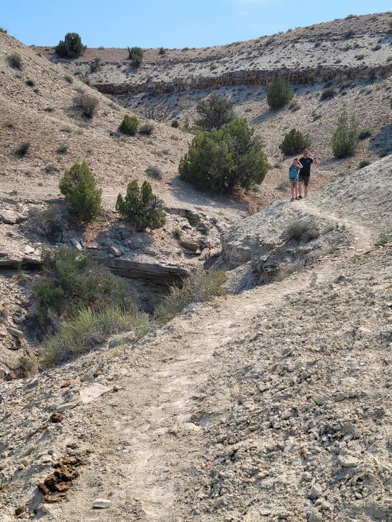
From the trailhead, follow the Little Grand Canyon Trail for 1.9 miles southeast. Along the way is a nice petroglyph panel that is worth checking out.
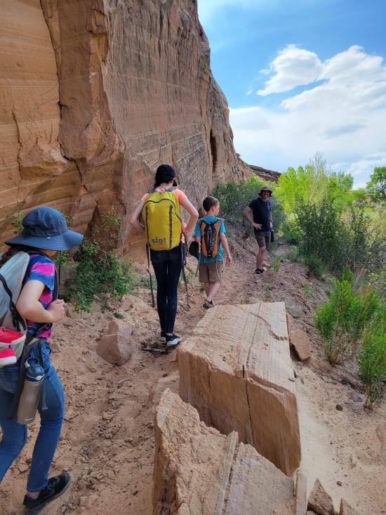
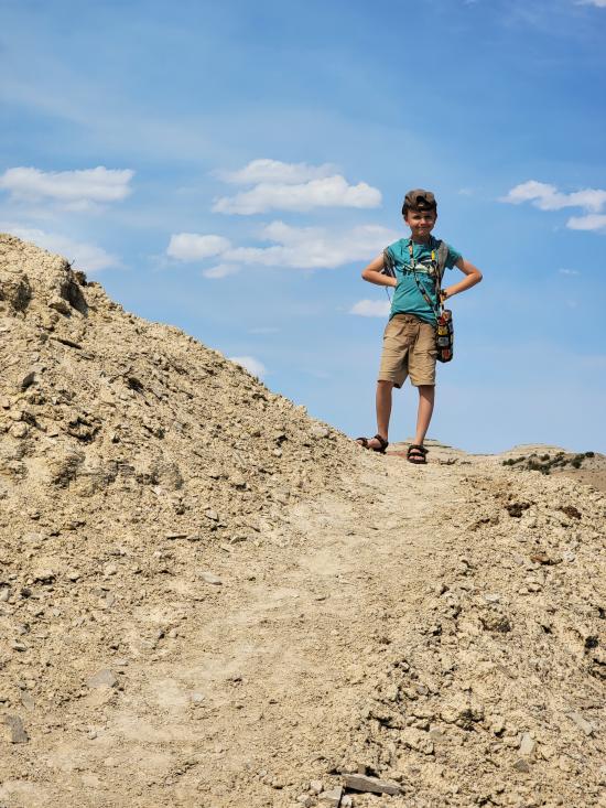
The mine is difficult to see from the river, but you can see the tailing pile at the base of the cliff. Climb the tailing pile, then the entrance to the mine is easily spotted.
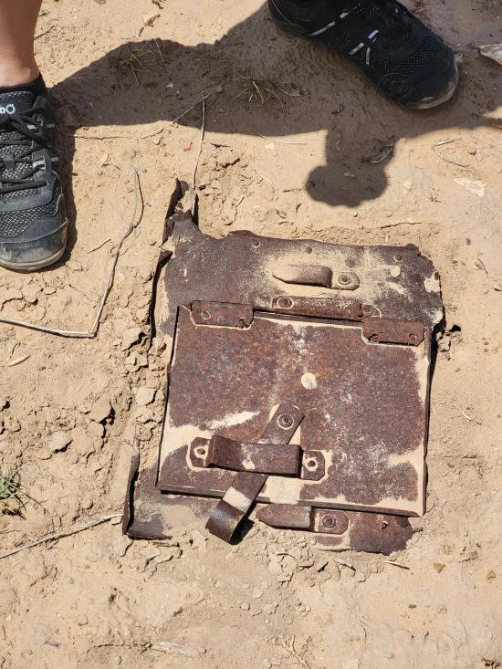
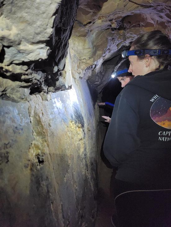
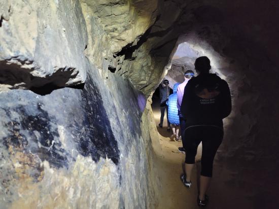
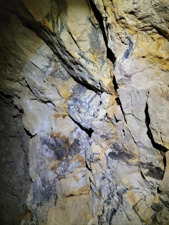
Once inside the entrance, turn on your flashlights and enjoy! The mine is quite fun to explore. The tunnels are level with not drops or dangers. It is quite safe for kids. If you look closely, you can see discoloration on the ground in places from the old rail timbers.
Return the way you came, or if you're doing the full Little Grand Canyon Trail, continue on your hike.
Closest City or Region: Castle Dale, Utah
Coordinates: 39.094245, -110.824065
By Jeremy Dye
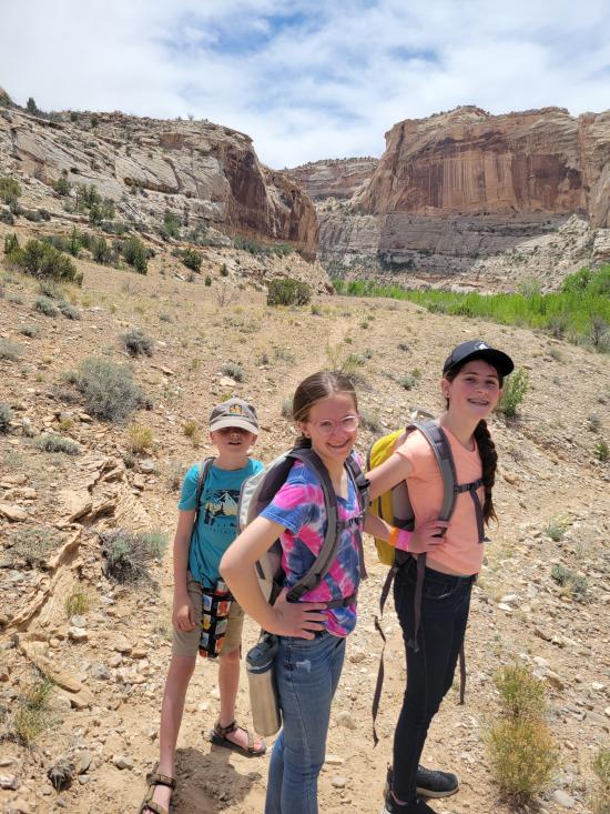
Jeremy Dye, Tara Dye, Savannah Dye, Madilyn Dye, Cooper Dye,
We had a slow morning then packed our daypacks and drove to Fuller Bottom. From the trailhead, we hiked about two miles to the Sorrel Mule Mine. We stopped to look at petroglyphs along the way. The mine was a lot of fun, and we explored the full length of the passages. We thought the extremely smooth walls were cool, and we enjoyed realizing that some dark patches on the ground is the remains of the wood railroad tracks.


 Lower Cedar Mountain Road Primitive Camping
 Buckhorn Wash Pictograph Panel
Buckhorn Draw Dinosaur Footprint
Lower Cedar Mountain Road Primitive Camping
Buckhorn Draw Dinosaur Footprint
Buckhorn Wash Pictograph Panel
Cleveland-Lloyd Dinosaur Quarry
San Rafael River Swinging Bridge
San Rafael River Swinging Bridge
 Mining
 Headlamps required
