 Hiking | Little Grand Canyon Trail


Hype:
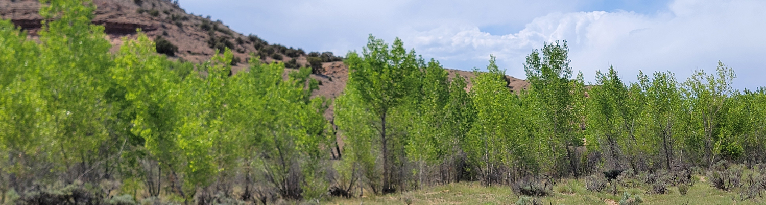
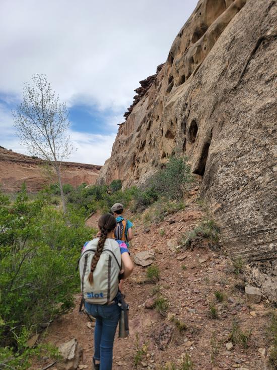
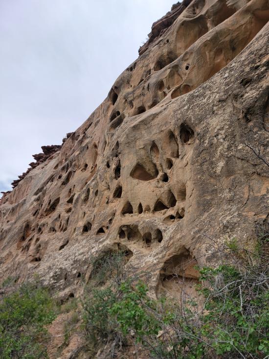
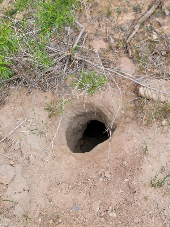
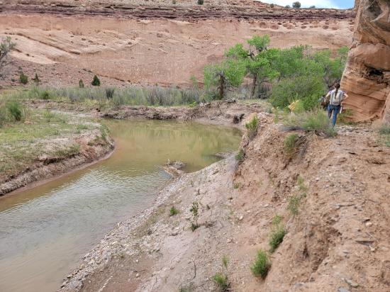
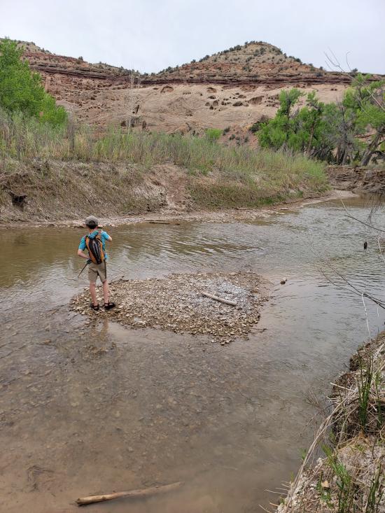
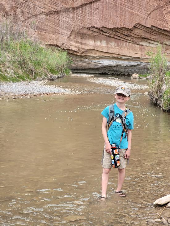
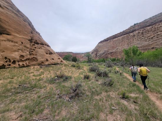
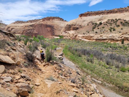
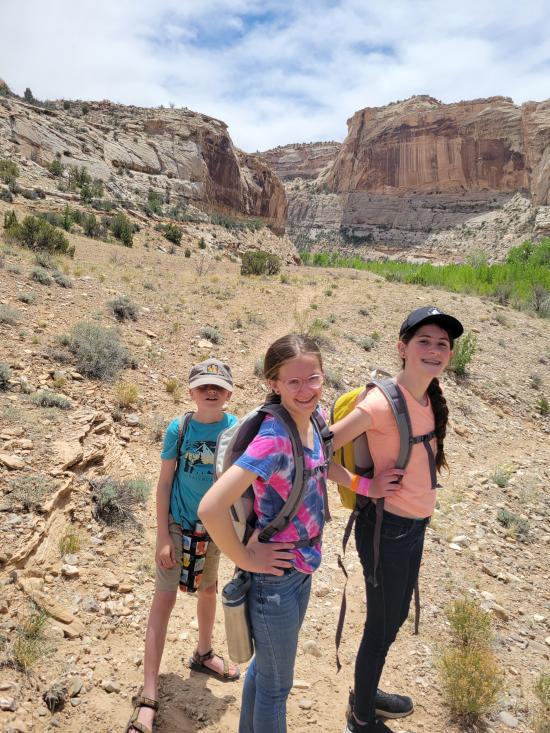
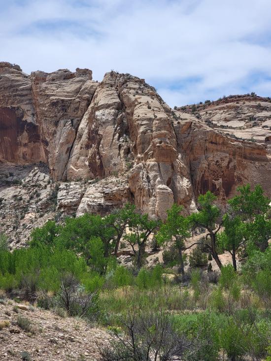
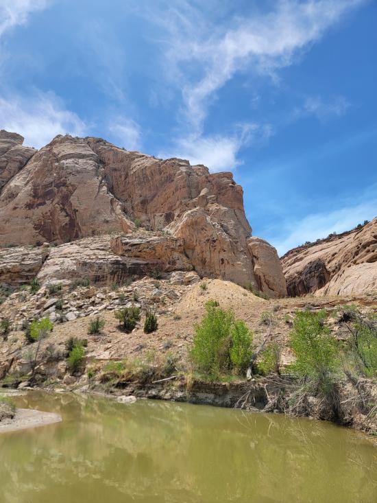
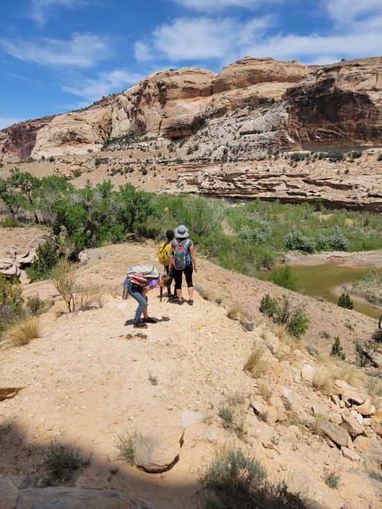
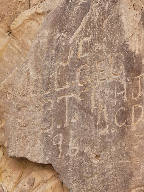
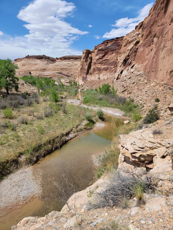
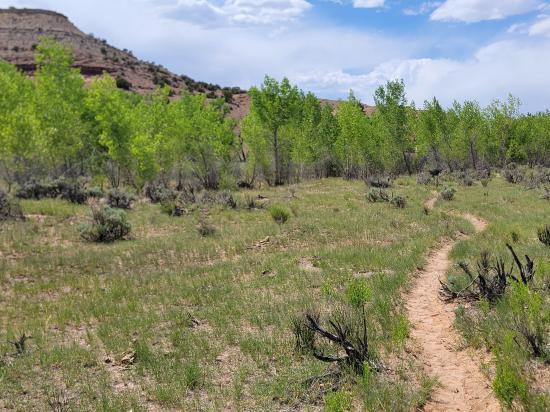
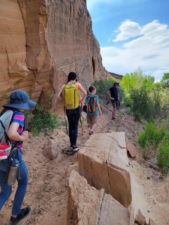
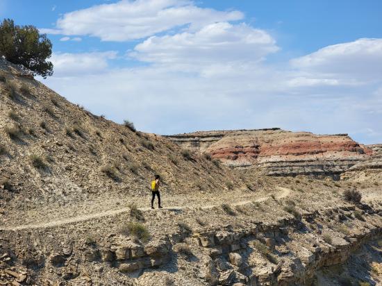
The Little Grand Canyon in Utah is a scenic canyon carved by the San Rafael River in the San Rafael Swell, offering expansive canyon-rim views, isolated river bottoms, and a mix of hiking or backpacking experiences. While there are shorter hikes and overlooks, the full hiking route through the canyon is about 14 miles (one way) and requires multiple river crossings, solid wilderness preparation, and optional primitive backcountry camping. The western trailhead is located at Fuller bottom, and the eastern trailhead is located near the Swinging Bridge on Buckhorn Draw Road. This hiking trail follows the San Rafael River past multiple rock art sites and provides access to several spur hikes including the Sorrel Mule Mine, Salt Wash, Virgin Spring Canyon, and Cane Wash.
Trail Condition: Class 2 (Trail may have tree roots or rocks jutting out. Navigation skills may consist of following rock cairns and choosing turns at junctions. Elevation gains may be more substantial.)
Time: 1-2 days depending on side hikes
Length: 13.6 miles one way
Elevation Gain: -1000 ft
Fees: None
Recommended Ages:
 | 0-3 |
 | 4-11 |
 | 12-19 |
 | 20-49 |
 | 50-69 |
 | 70+ |
Recommended Months to Visit:
| Jan |
| Feb |
| Mar |
| Apr |
| May |
| Jun |
| Jul |
| Aug |
| Sep |
| Oct |
| Nov |
| Dec |
Links: https://www.roadtripryan.com/go/t/utah/san-rafael-swell/sanrafaelgorgehttps://www.visitutah.com/places-to-go/parks-outdoors/san-rafael-swell/little-grand-canyon-hike
Closest City or Region: Castle Dale, Utah
Coordinates: 39.106283, -110.834457
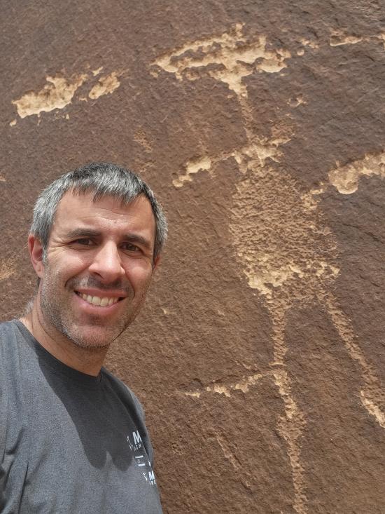
By Jeremy Dye
Jeremy Dye, Tara Dye, Savannah Dye, Madilyn Dye, Cooper Dye,
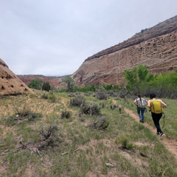
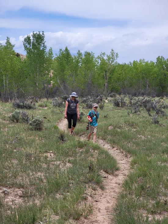
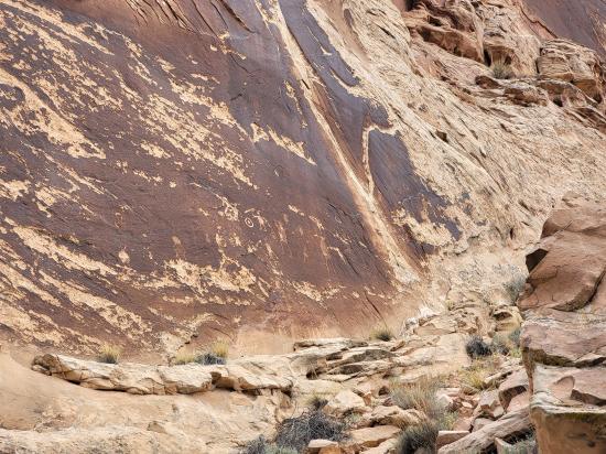
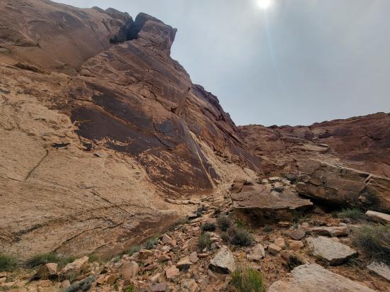
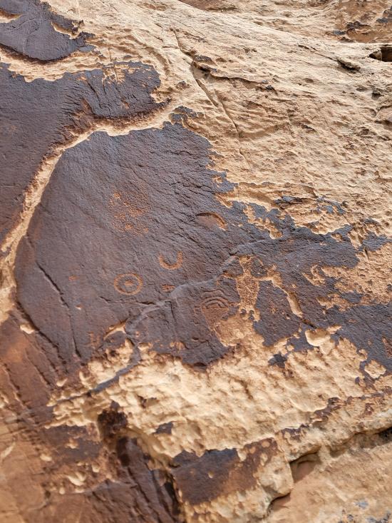
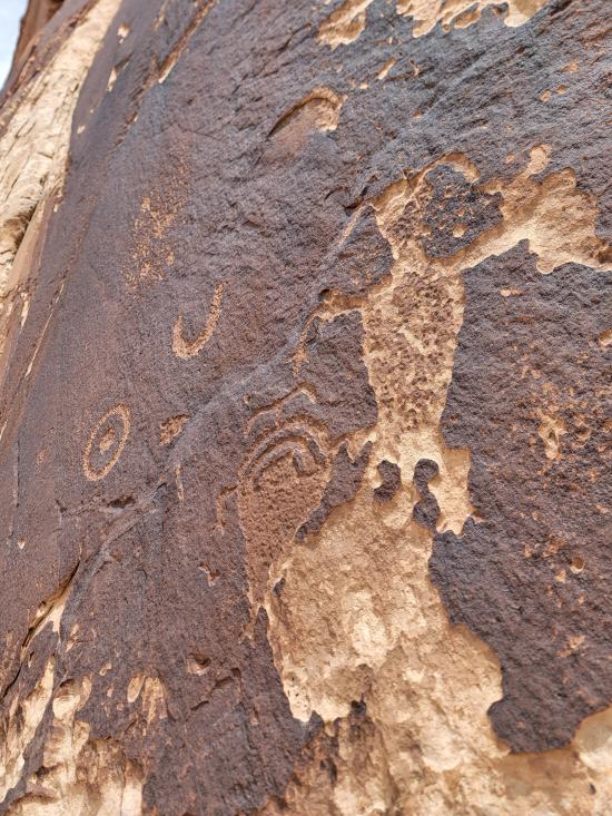
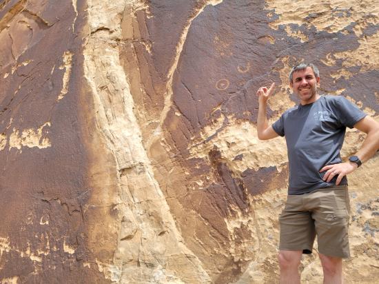
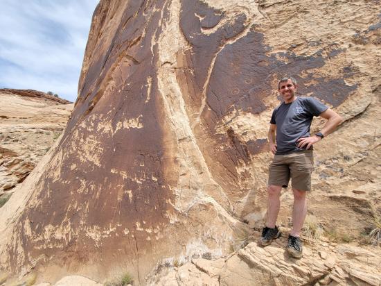
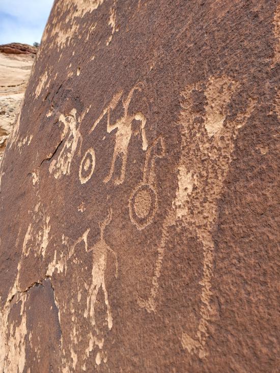
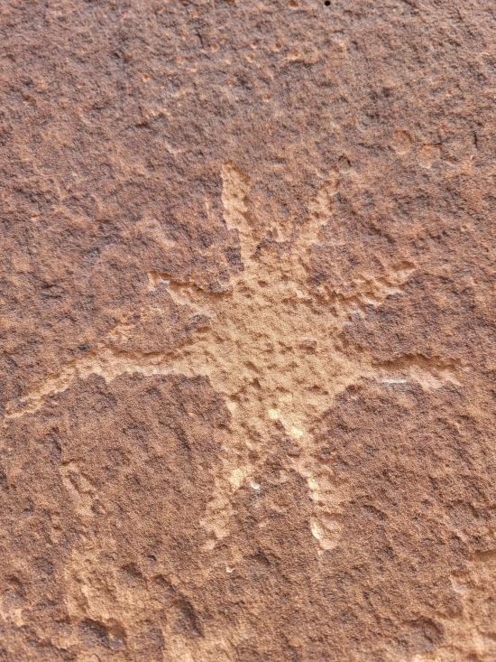
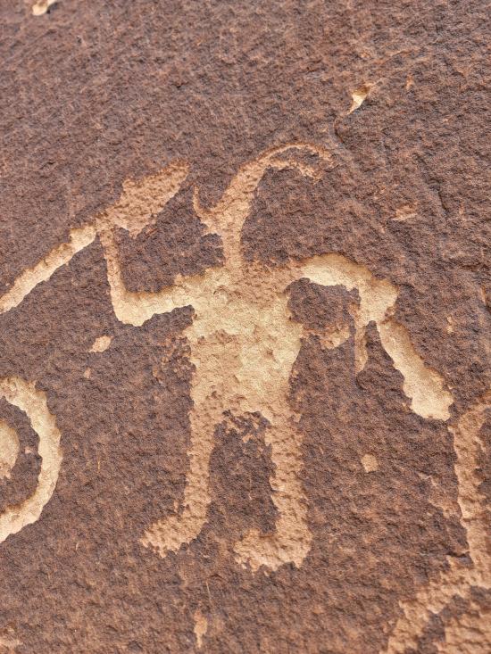
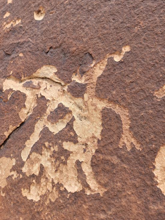
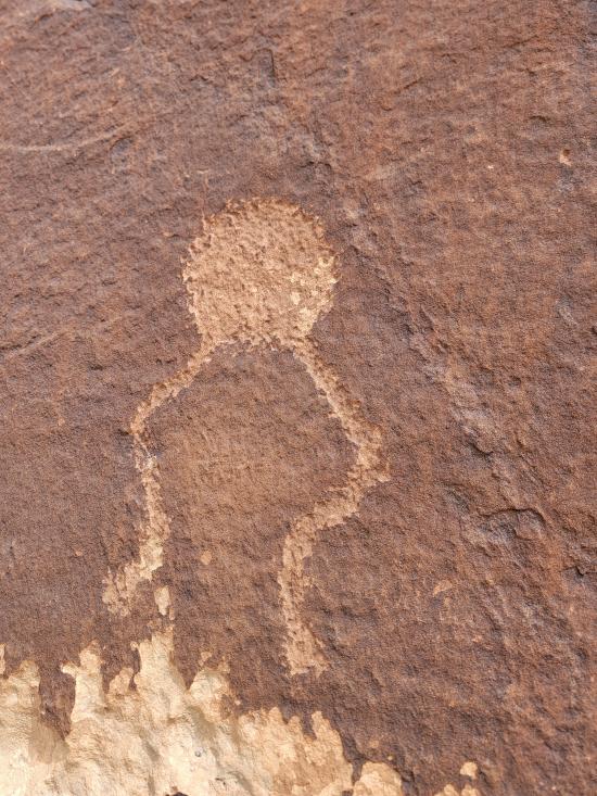
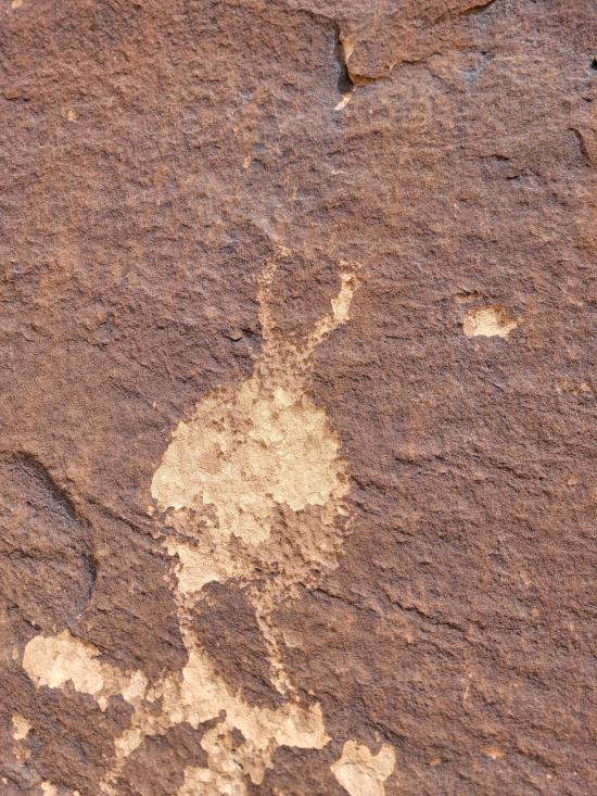
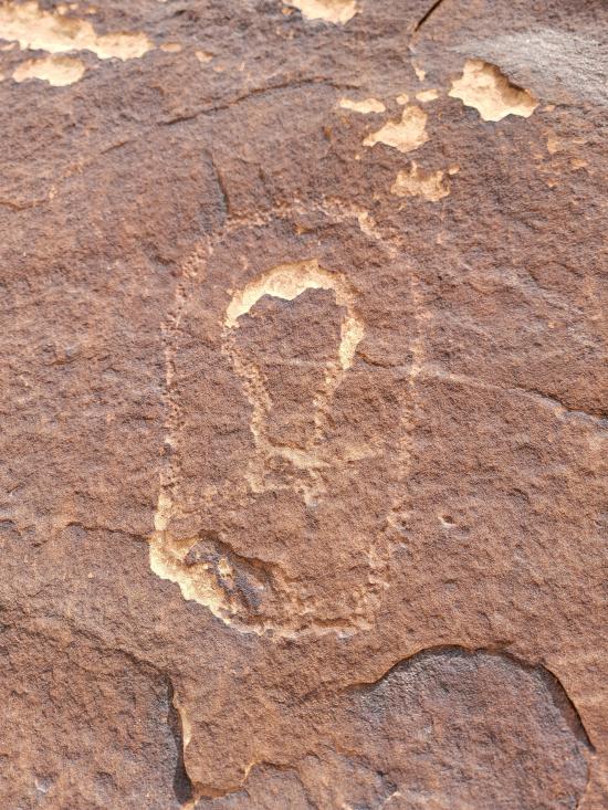
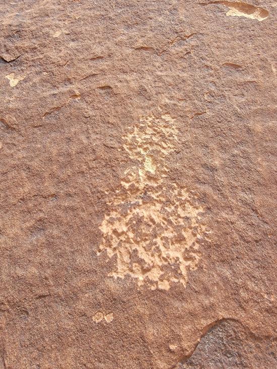
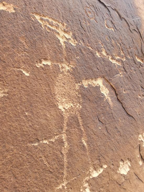
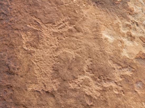
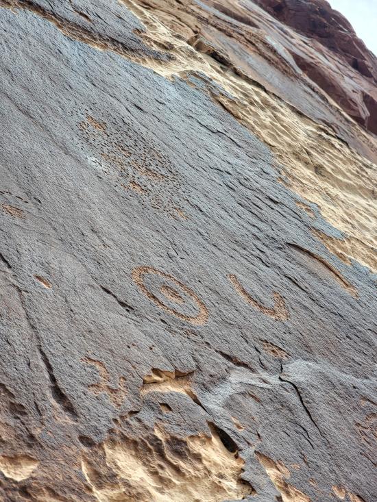
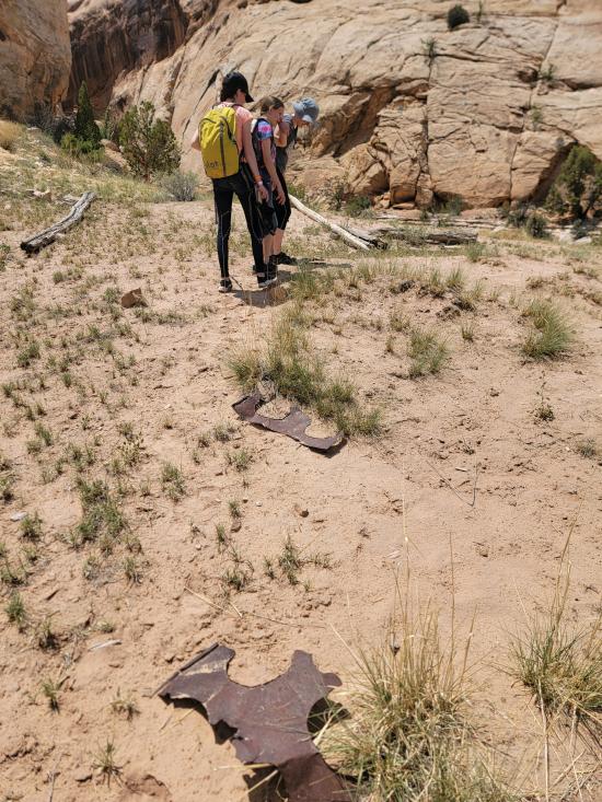
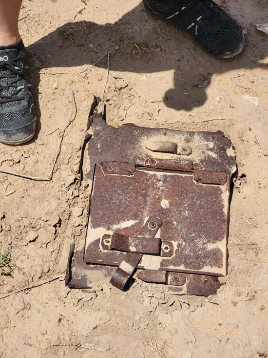
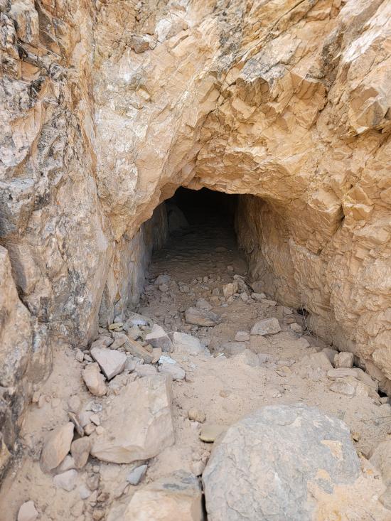
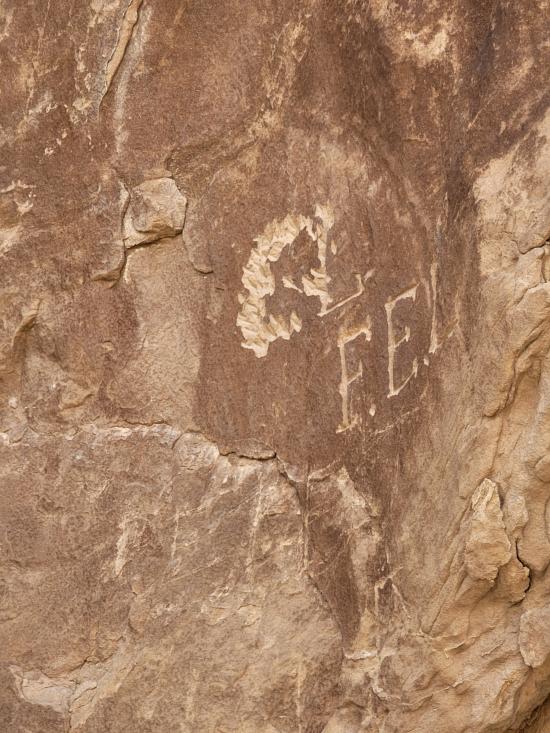
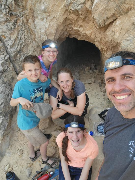
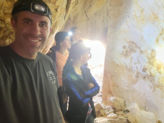
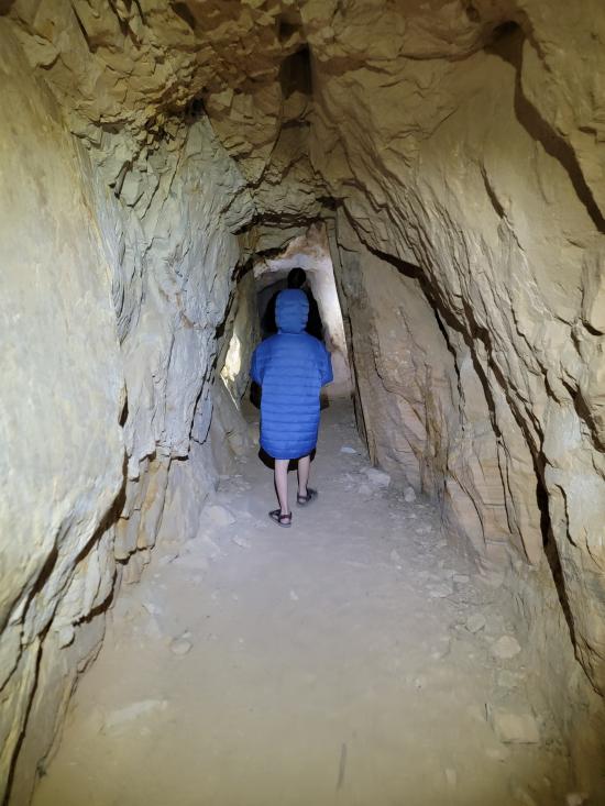
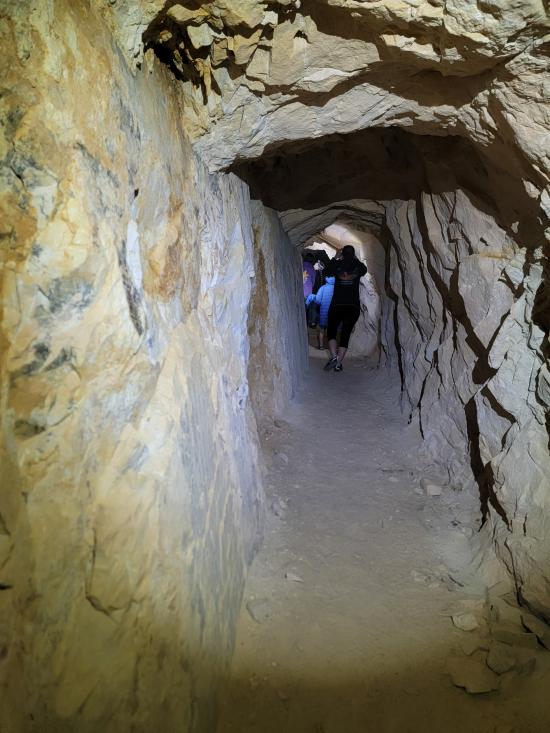
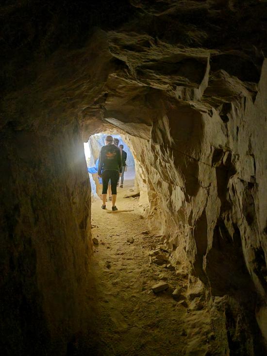
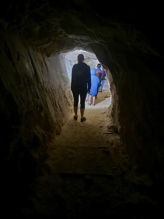
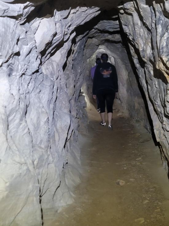
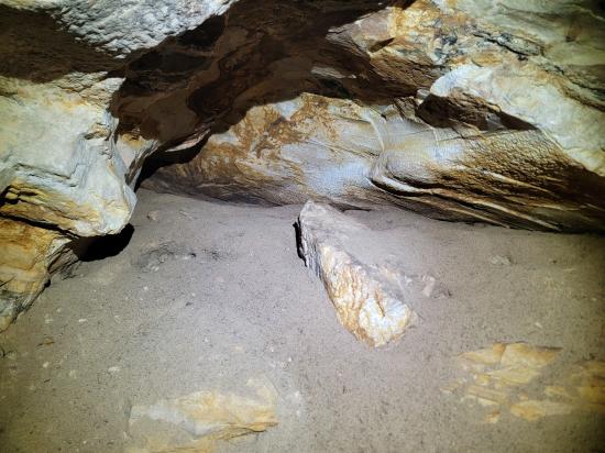
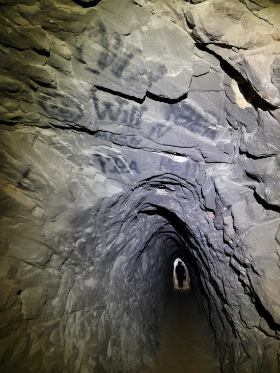
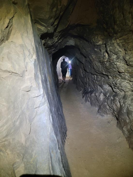
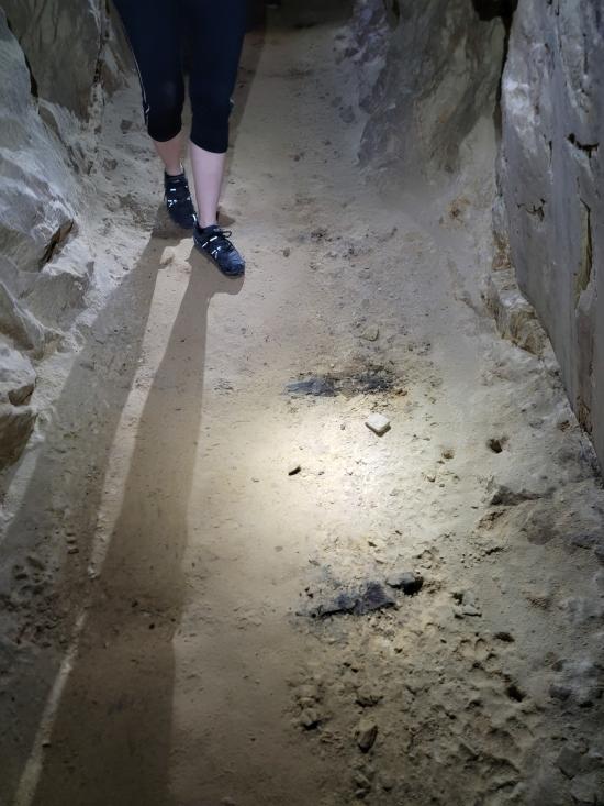
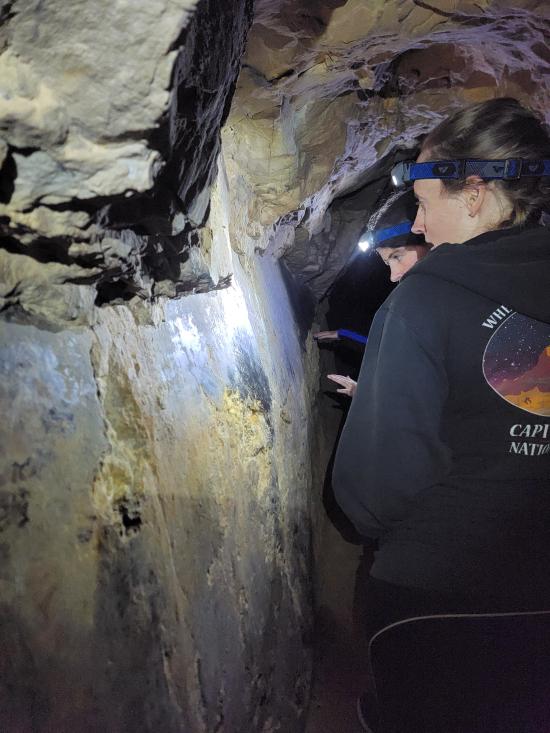
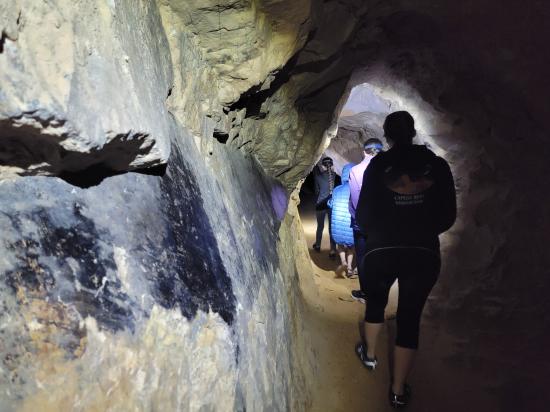
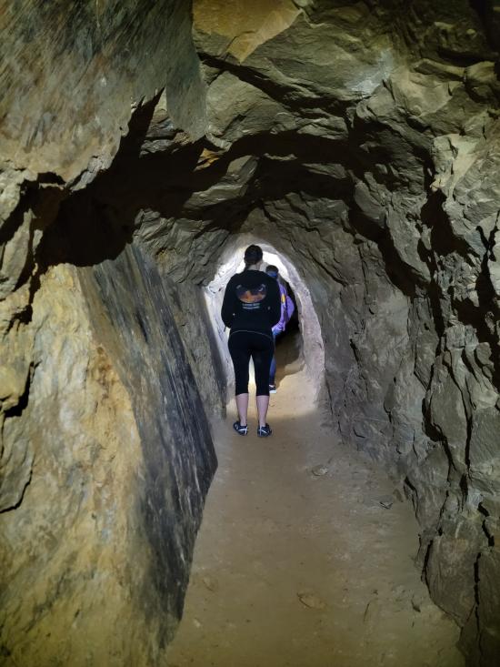
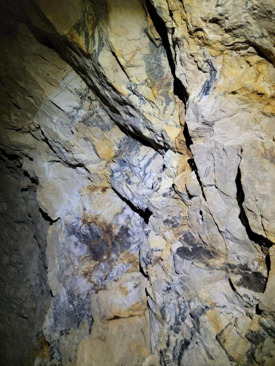
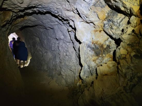
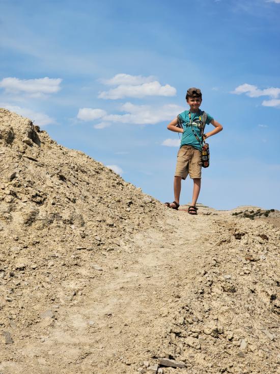
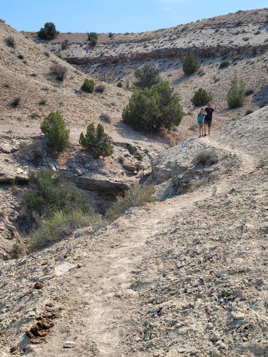
We had a slow morning then packed our daypacks and drove to Fuller Bottom. From the trailhead, we hiked about two miles to the Sorrel Mule Mine. We stopped to look at petroglyphs along the way. The mine was a lot of fun, and we explored the full length of the passages. We thought the extremely smooth walls were cool, and we enjoyed realizing that some dark patches on the ground is the remains of the wood railroad tracks.


 Lower Cedar Mountain Road Primitive Camping
 Buckhorn Wash Pictograph Panel
Buckhorn Draw Dinosaur Footprint
Lower Cedar Mountain Road Primitive Camping
Buckhorn Draw Dinosaur Footprint
Buckhorn Wash Pictograph Panel
Cleveland-Lloyd Dinosaur Quarry
San Rafael River Swinging Bridge
San Rafael River Swinging Bridge
 Hiking Trails
 Rivers and Streams
 Mountains
 Petroglyphs and Pictographs
 Non-potable Water - filterable
 Wayfinding
 Marked Trails
 No Restrooms
 Road Access is Dirt - Low Clearance
 Access Road is 2WD Accessible
 Viewpoint, Overlooks, Vistas
 Swimming - Outdoor
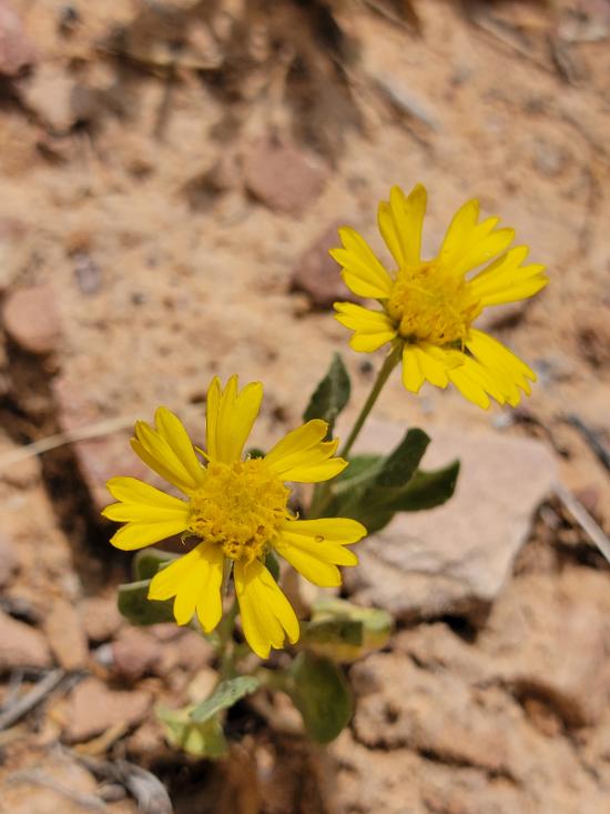
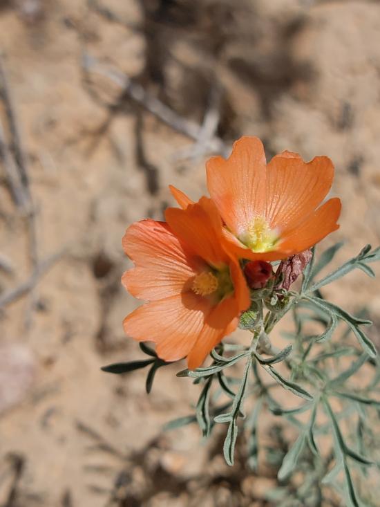
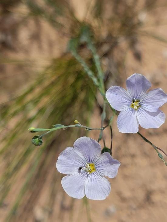
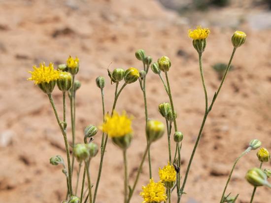
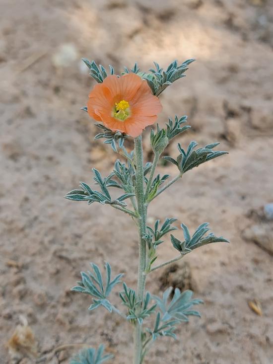
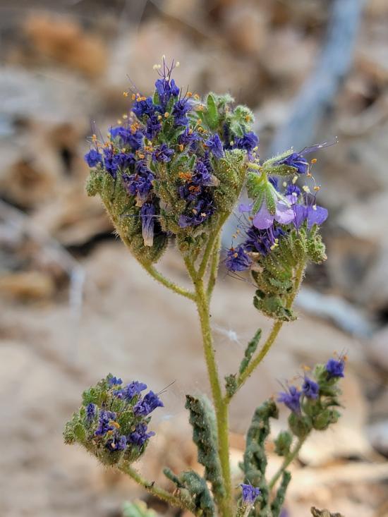
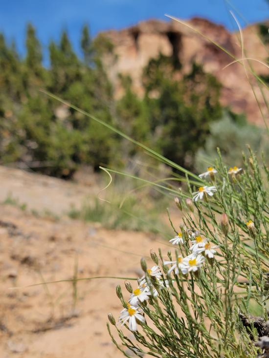
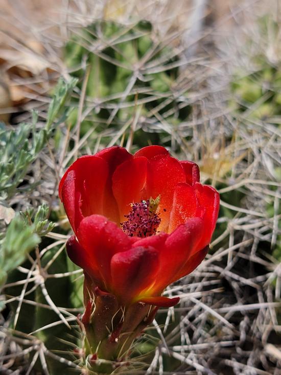
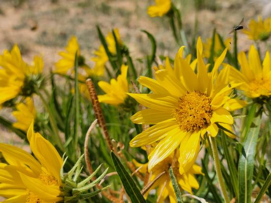
 Wildflowers and Vegitation
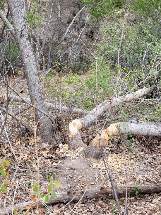
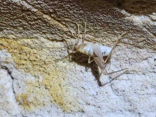
 Wildlife and Birding
