 Hiking | Hoodoo Trail


Hype:
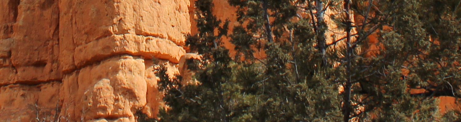
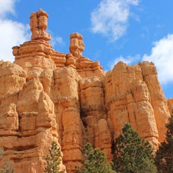
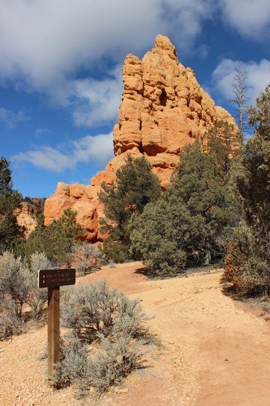
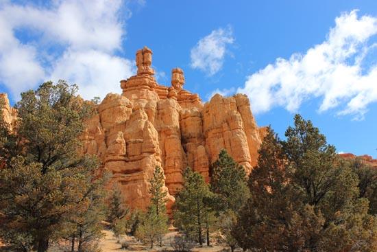
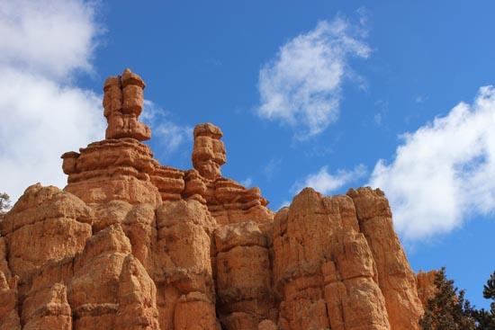
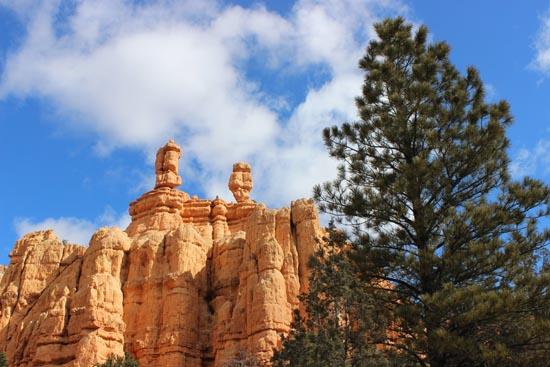
Hoodoo Trail is a short hike that will take you through both desert and high plateau vegetation. This trail has a nice view of the two prominent hoodoos in Red Canyon.
Trail Condition: Class 2 (Trail may have tree roots or rocks jutting out. Navigation skills may consist of following rock cairns and choosing turns at junctions. Elevation gains may be more substantial.)
Time: 10-15 minutes
Length: 0.33 miles
Elevation Gain: Negligible
Fees: None
Recommended Ages:
 | 0-3 |
 | 4-11 |
 | 12-19 |
 | 20-49 |
 | 50-69 |
 | 70+ |
Recommended Months to Visit:
| Jan |
| Feb |
| Mar |
| Apr |
| May |
| Jun |
| Jul |
| Aug |
| Sep |
| Oct |
| Nov |
| Dec |
Links: National Forest Service
Navigate to 37.746055, -112.319813.
Closest City or Region: Red Canyon, Utah
Coordinates: 37.746055, -112.319813
By Jeremy Dye
I visited the Hoodoo Trail as part of a brief stop on my way to Kanab, UT for a business meeting. The Hoodoo Trail is a quick and kind of pointless walk through the trees past two prominent hoodoos in Red Canyon. It's more of a stoll than a hike, and there's nothing visible from the trail that isn't visible from the road. With that said, the area is actually quite nice and very pretty.

Panguitch Lake North Campground
Skutumpah Road Primitive Camping
Shakespeare Arch/Sentinel Trail
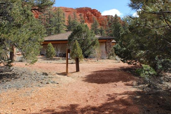
Bryce Canyon National Park Visitor Center
Bryce Canyon Wranglers at Ebenezer's Barn and Grill
 Hiking Trails
 Interpretive Signs
 Hoodoos
 No Drinking Water
 Mountains
 Marked Trails
 No Restrooms
 Road Access is Paved
 Access Road is 2WD Accessible
 Viewpoint, Overlooks, Vistas
 Wildflowers and Vegitation
 Wildlife and Birding