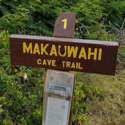
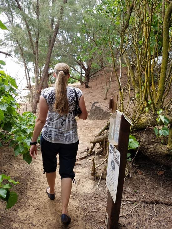
 Hiking | Makauwahi Cave Interpretive Trail


Hype:
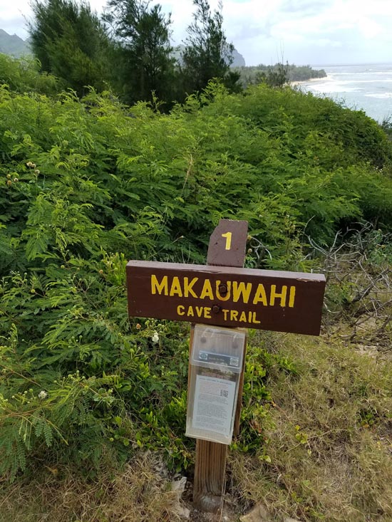
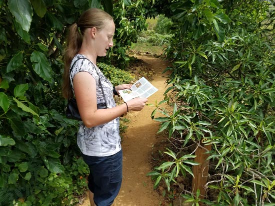
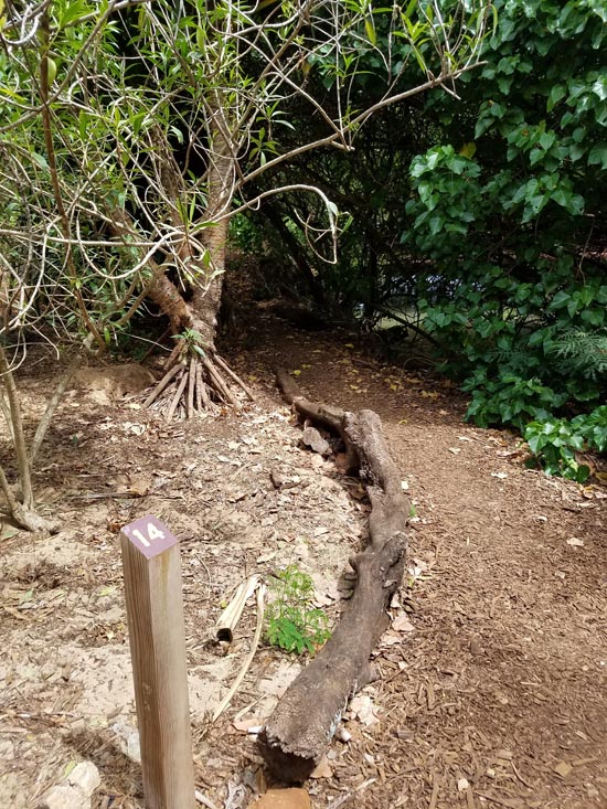
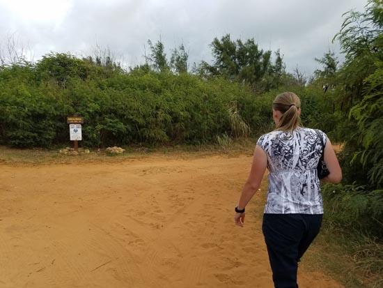
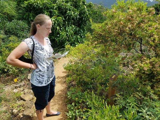
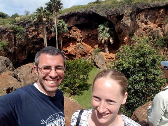
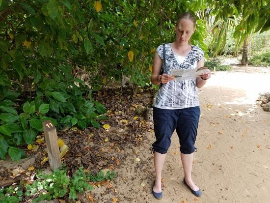
The Makauwahi Cave Interpretive Trail provides views of the open ocean, estuary, beach flats, volcanoes, modern and fossil dunes, native plants, wildlife habitats, archaeological sites, and the Makauwahi Sinkhole from a variety of angles. The interpretive guide available at the trailhead points out 19 points of interest along the way.Trail Condition: Class 2 (Trail may have tree roots or rocks jutting out. Navigation skills may consist of following rock cairns and choosing turns at junctions. Elevation gains may be more substantial.)
Time: 30 minutes
Length: 1-1.5 miles round trip
Elevation Gain: 75 ft.
Fees: None
Recommended Ages:
 | 0-3 |
 | 4-11 |
 | 12-19 |
 | 20-49 |
 | 50-69 |
 | 70+ |
Recommended Months to Visit:
| Jan |
| Feb |
| Mar |
| Apr |
| May |
| Jun |
| Jul |
| Aug |
| Sep |
| Oct |
| Nov |
| Dec |
Links: www.cavereserve.org
Navigate to 21.886950, -159.419555.
Makauwahi Cave Reserve is a 17 acre park created by Dr. David and Lida Pigott Burney with the aid of hundreds of volunteers and Joe Kanahele, Reserve Caretaker. The property belongs to Grove Farm Company.
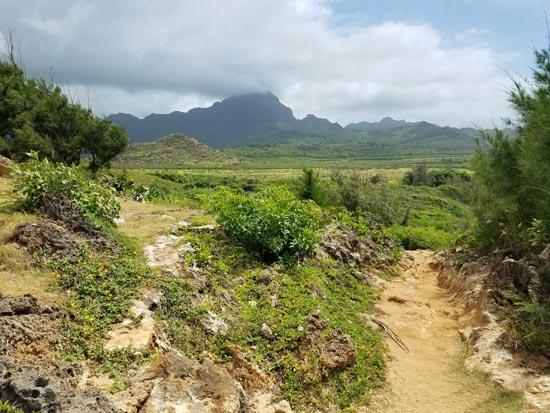
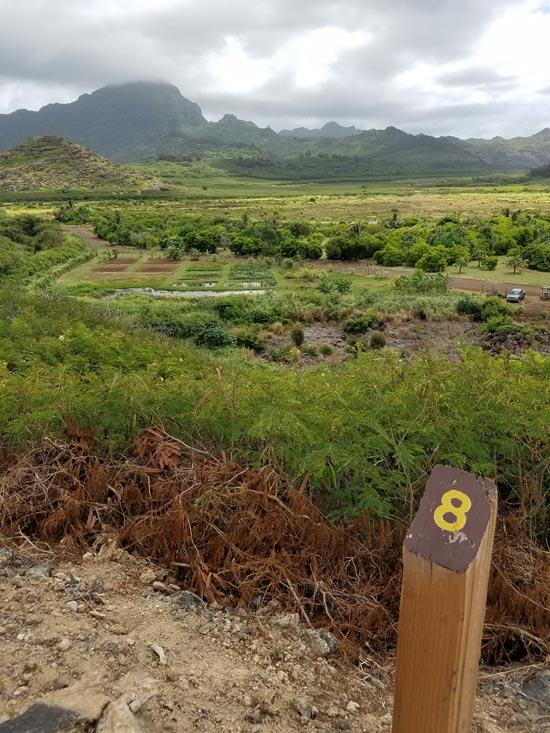
From here, you can see all of the Mahaulepu area, a great sweep of ocean, shoal, shore, beach vegetation, lowland irrigated agriculture, limestone quarry, and pasture. Looking inland from this small hilltop, you can see the volcanic spatter cones of Koloa, probably the last to erupt on Kauai many thousands of years ago. In the midground is the abandoned Koloa Sugar Mill, a rusting monument to the days when sugar plantations dominated this landscape.
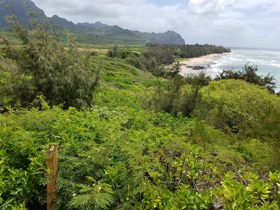
Depending on the season, you may see offshore here humpback whales, spinner dolphins, monk seals, green sea turtles – and plenty of wind-surfers!
As you make your way carefully down this winding trail, you are walking on the “headprint†of a large cave passage underneath. Below ground live organisms specialized for life in total darkness, including blind cave invertebrates. The subterranean food chain begins with substances exuded from the roots of native plants featured here.

Some beautiful and sweet-smelling native flowers have been re-introduced to this landscape that are commonly found as fossils in the cave sediments. These include the night-blooming caper plant, maiapilo (Capparis sandwichiana) and the naio shrub (Myoporum sandwicense). Like the hardy `a`ali`i shrub (Dodonaea viscosa) they send down long roots into the cave in search of water.
On the rim of the sinkhole just ahead, a metal creature is perched that is both a weather station and one of the brain centers of our “cyberinfrastructure†program. As part of the Makauwahi Cave Reserve’s monitoring program, tiny electronic sensors scattered over the entire property, even deep within the cave below, record about 30 aspects of the ecosystem, from weather conditions to ground water chemistry. Data transmissions upload hourly to www.intelesense.net, where anyone interested can see current and past conditions recorded by these high-tech devices, developed by scientists at NASA and Stanford University.
Enjoy the great views here, but also watch your step! On one side is the 80 foot cliff that drops into the sinkhole, with many hidden holes that a person can drop through. On the other side is the rugged terrain of the old limestone quarry, an area off-limits to the public due to the dangers posed by quarrying activity.

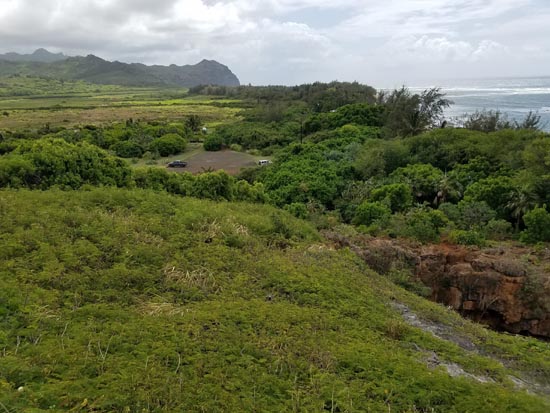
From this spot you can see virtually the entire reserve, as well as the valley of Maha`ulepu and the mountains beyond. For an artist’s interpretation of what this scene might have looked like before the first people, see Dr. Burney’s book Back to the Future in the Caves of Kaua`i: A Scientist's Adventures in the Dark (Yale Press). It features a mural by Dr. Julian Hume, painted from a viewpoint near this trail, depicting the prehuman landscape and the rich diversity of plants and animals that have been found as fossils in the sinkhole.
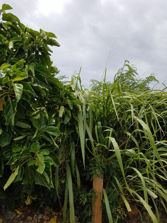
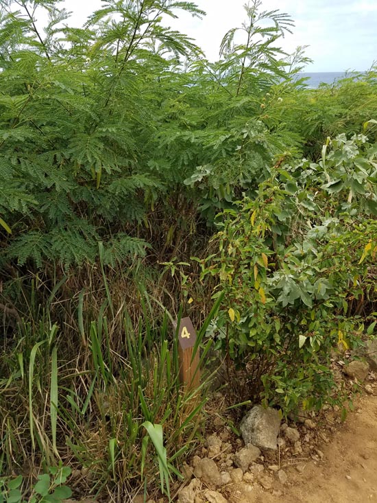
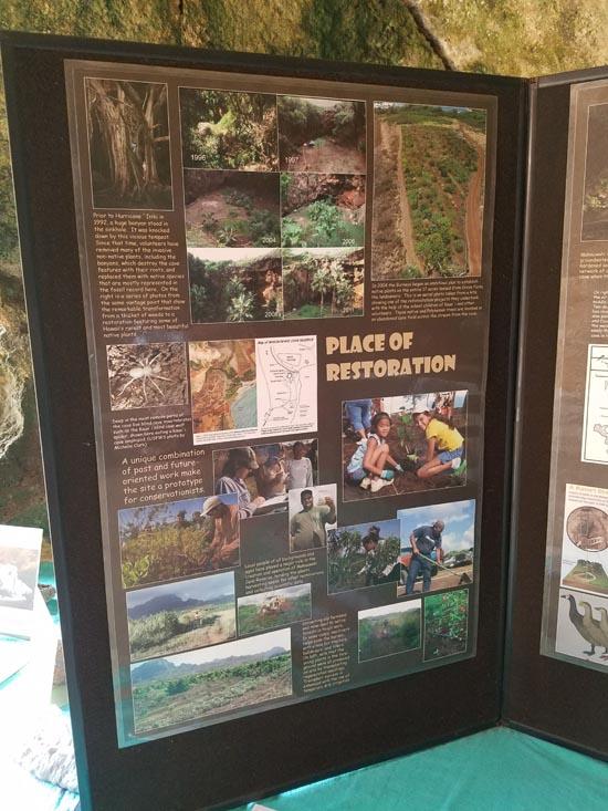
In case you are curious as to what this area looked like before restoration to native plants was begun a few years ago, look beyond this sign: a thicket dominated by two kinds of aggressive weed trees introduced to Kaua`i in the 19th century, haole koa (Leucaena leucocephala) and kiawe (Prosopis pallida). Left unchecked, these aggressive plants from the American tropics will cover the area and shade out nearly all native plants.
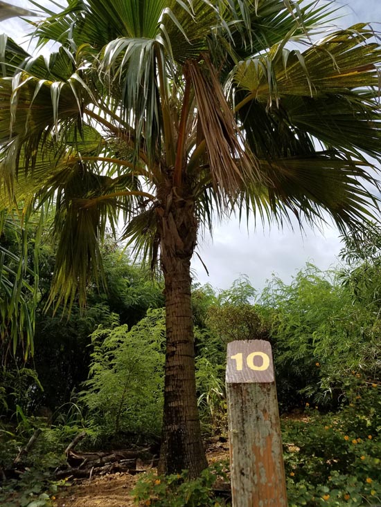
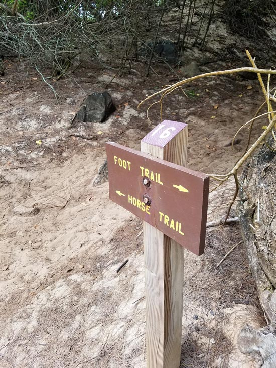
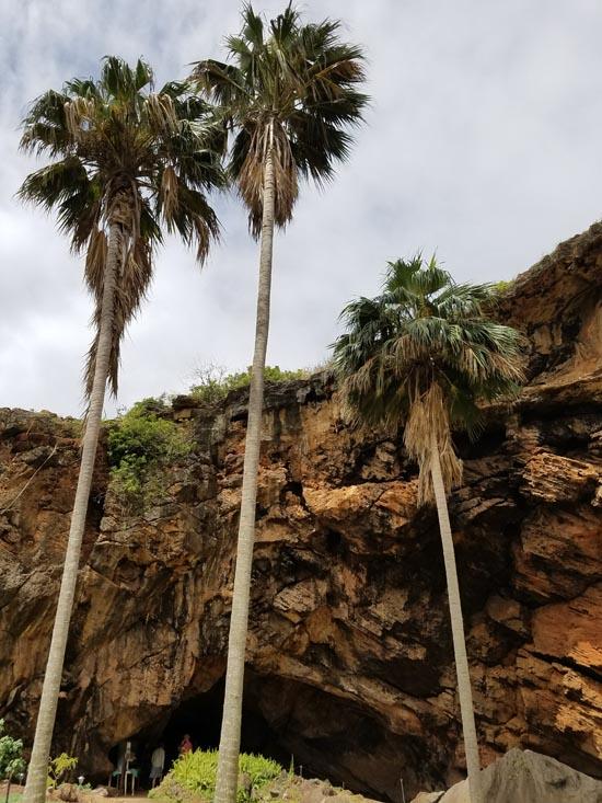
Here where the foot trail passes near the horse trail, take special care to watch out for equestrians, and avoid using their trail for safety reasons. Notice here and throughout the Reserve that a re-introduced native palm (Pritchardia aylmer-robinsonii = P. remota) is thriving, called hawane or loulu by Hawaiians. Although nearly extinct in the wild, this palm or a close relative was among the most common pollen and seed types in the prehuman sediments of the cave. Some of the individuals growing in the sinkhole, although only planted as recently as July, 2002, are now almost 40 feet tall!
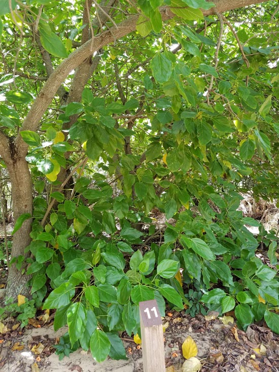
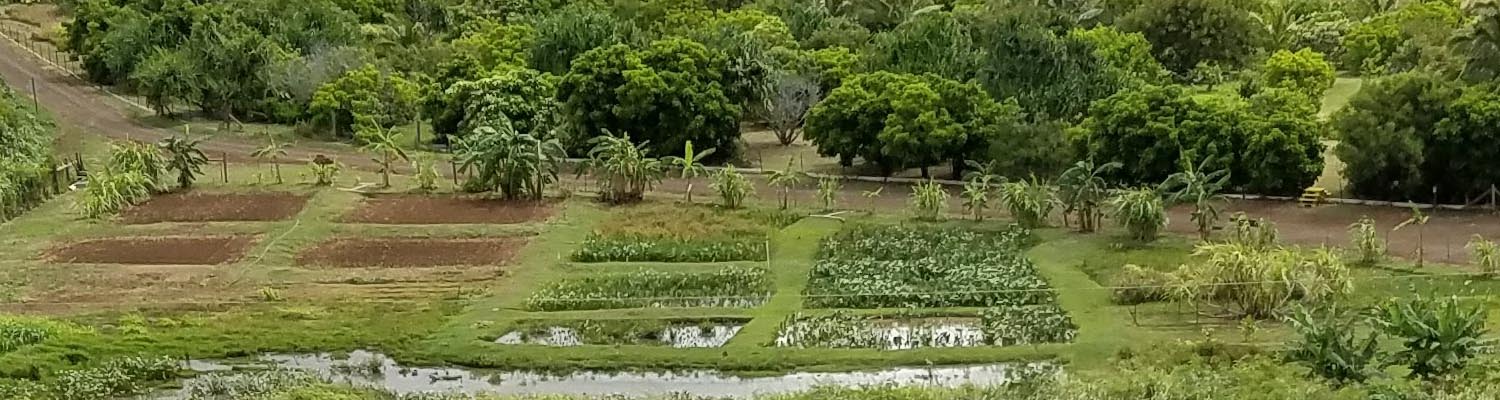
These lovely kou trees were the very first native plants set out at Makauwahi Cave. That was 1999, at the very be- ginning of our restoration efforts. Since that time, nearly 5000 native and Polynesian plants have been reintroduced to this landscape, using the fossil record here as a guide to plant choices. Students and visitors from the island, the state, the nation, and the world have helped plant and care for these returning natives.
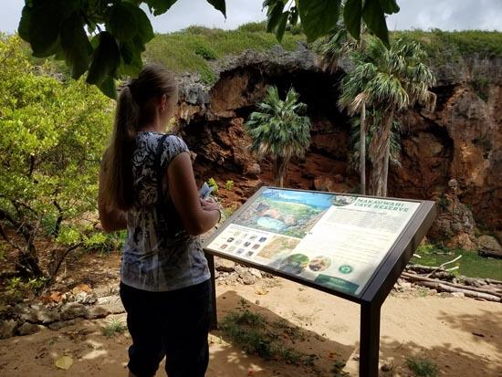
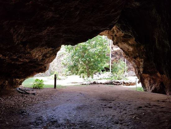
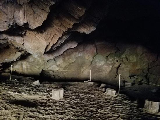
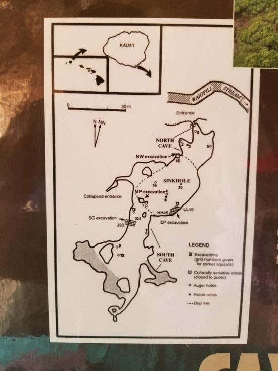
A natural amphitheater carved by ground water and eroded by the elements, the Makauwahi Cave sinkhole is a collapsed room of this unusual limestone cave, formed from Pleistocene dune sands.
With our help, this woodland is turning gradually from non-native to native plants. At your feet is a verdant groundcover of ilie`e (Plumbago zeylanica), used by ancient Hawaiians to make tattoo ink. To protect the fragile cave environment, this type of habitat must be changed slowly, to ensure that the sinkhole is always protected from salt spray and wind, even while changing the ecosystem back to native species.
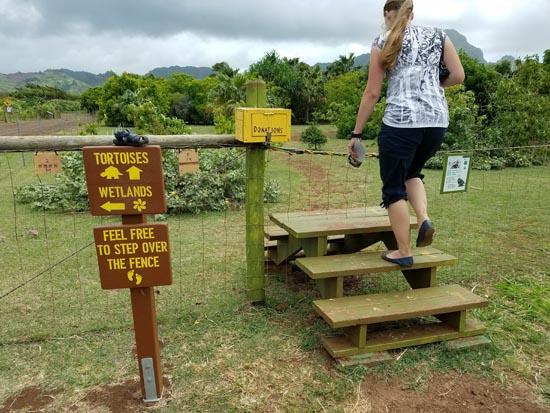
Here at Waiopili Stream, fresh and salt water meet. From here you can stay on this side and continue upstream to the walk-in cave entrance (#15), or cross over the bridge to see large-scale native and Polynesian plant restoration projects. The milo patch (#16) is on the ocean side of this junction.
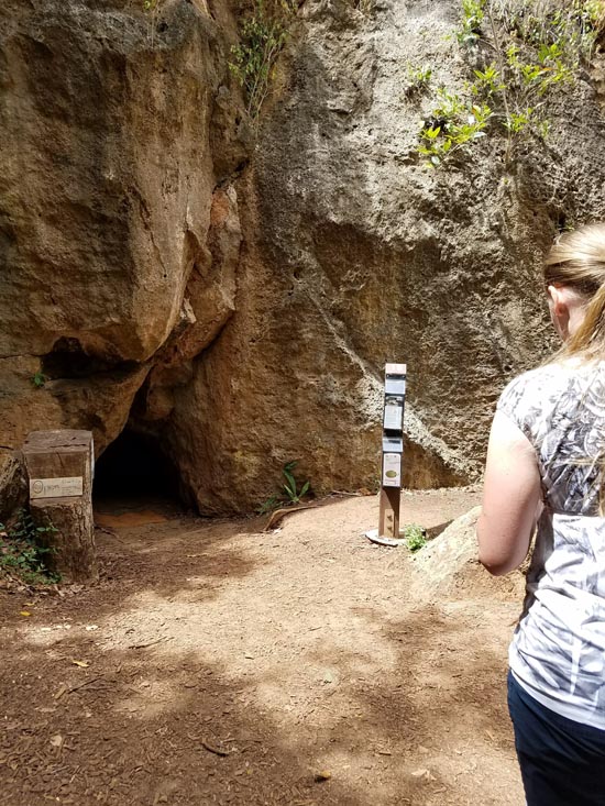
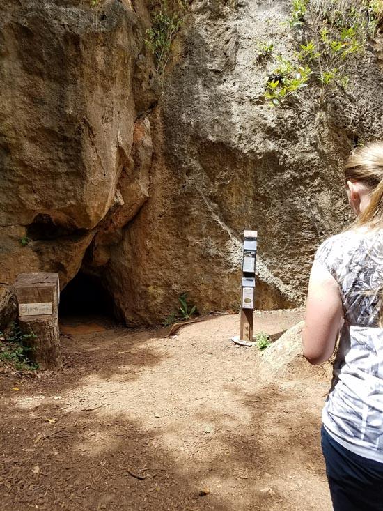
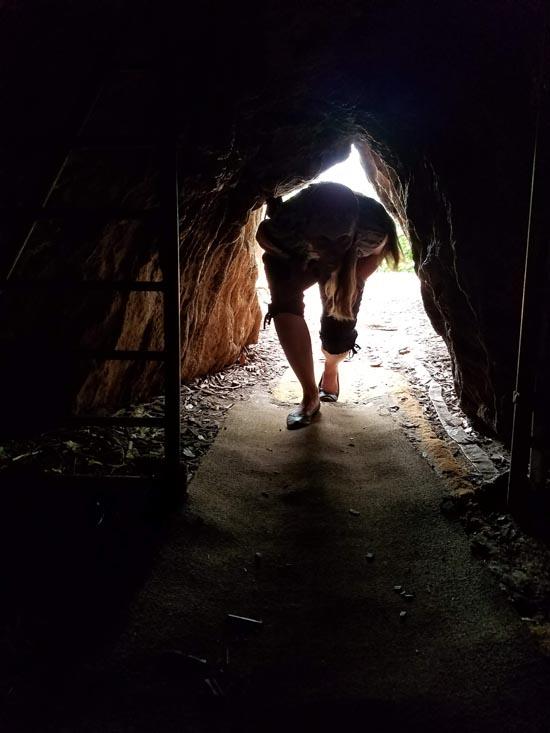
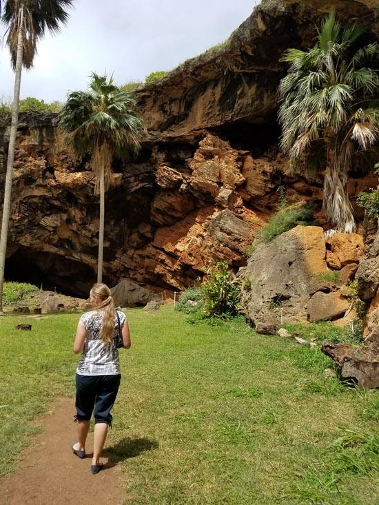
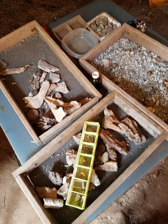
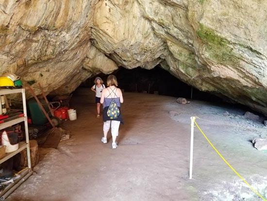
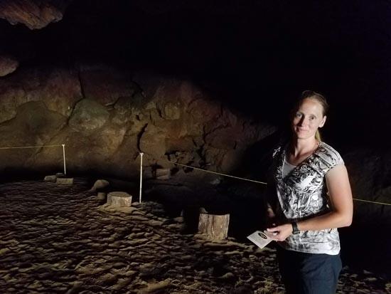
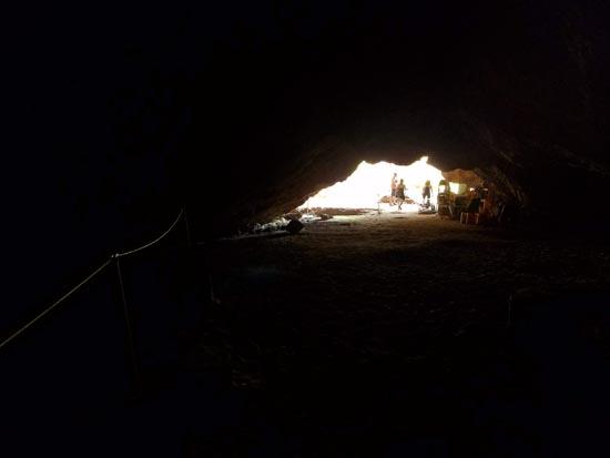
By a big notch in the limestone cliff, a small dark triangular opening leads to the interior of Makauwahi Cave. If the gate is open, please feel welcome to come on in. A separate brochure “Welcome to Makauwahi Cave†provides details on the attractions inside.
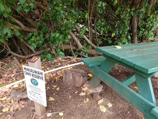
Milo (Thespesia populnea) is a valuable timber tree that probably reached the island in the voyaging canoes of the first Hawaiians.
The mouth of Waiopili Stream is a landscape that is exposed to high stages of both the ocean and the stream. Clay and sand layers are constantly laid down and removed, shifting banks and sandbars at the whim of the ocean and terrestrial floodwaters.

Look eastward here toward Mt. Haupu, the highest point on the south shore of the island. This is essentially the same view that early missionary Hiram Bingham sketched in his notebook, nearly two centuries ago, labeling the scene “Mahaulepu, 1824.â€
The landscape here beckons us to other times. Planted on farmland that had been abandoned for years, a new native forest flourishes here. To learn more about prehistoric and future environments, see Dr. Burney’s book Back to the Future in the Caves of Kaua`i, available from all major bookstores and internet booksellers.
By Jeremy Dye
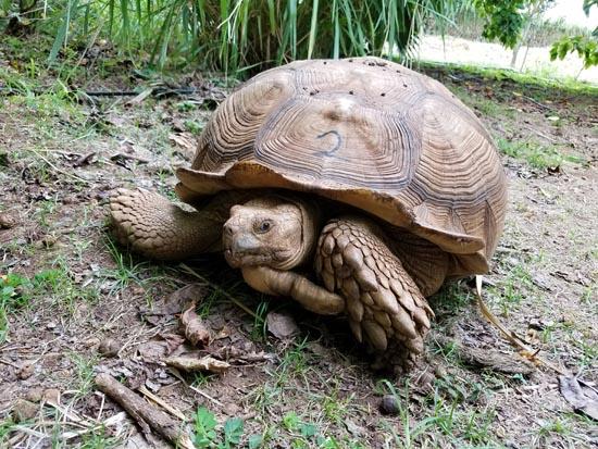
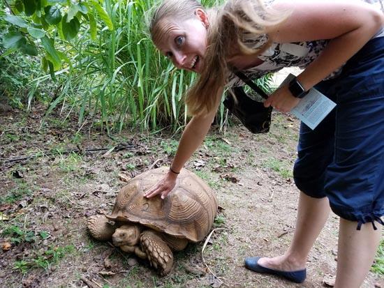
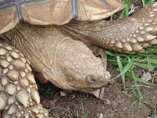
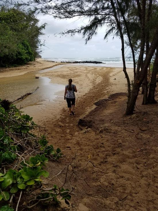
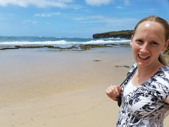
We hiked the Makauwahi Cave Interpretive Trail to the mouth of the cave. Then we went inside and read the brochure and listened to the guide talk about the cave. Then we went across the river to see the tortoises. After that, we walked out to the beach and then took the trail back to the car. We really enjoyed the cave even though it was small. The interpretive trail was nice and short and mostly focused on plant restoration. The tortoises were fun too!


 Russian Fort Elizabeth State Historical Park
 Russian Fort Elizabeth Interpretive Trail
Makauwahi Cave Interpretive Trail
Nounou Mt West Trail (Sleeping Giant)
 Puukohola Heiau Visitor Center
Puukohola Heiau National Historic Site
Hawaii Volcanoes National Park
Lyman Museum and Mission House
Kaloko-Honokohau National Historical Park
Puuhonua O Honaunau National Historical Park
Hale Ho'okipa Visitor Contact Station
World War II Valor in the Pacific National Monument
 Other Prehistoric Features
 No Drinking Water
 Ocean
Ocean Marked Trails
 Picnic Tables
 Beaches
 Road Access is Dirt - Low Clearance
 Access Road is 2WD Accessible
 Interpretive Signs
 Viewpoint, Overlooks, Vistas
 Hiking Trails
 Horse Riding
 Wildflowers and Vegitation
 Wildlife and Birding
 Volcanoes
