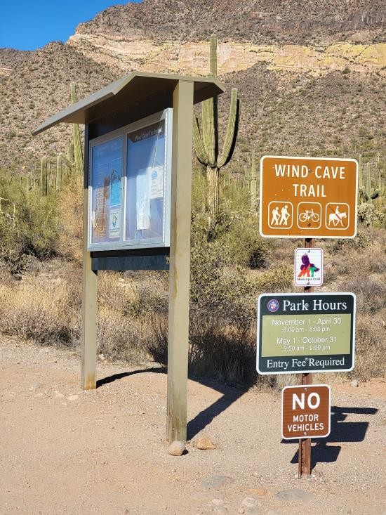
 Hiking | Wind Cave Trail


Hype:
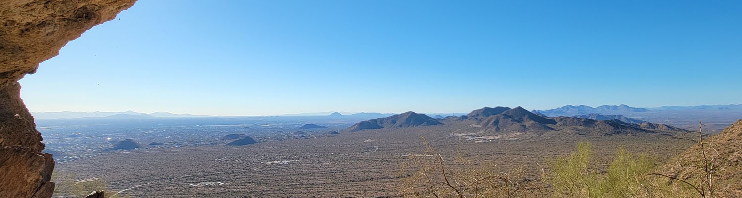
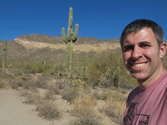
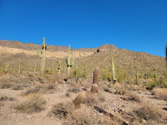
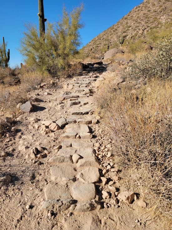
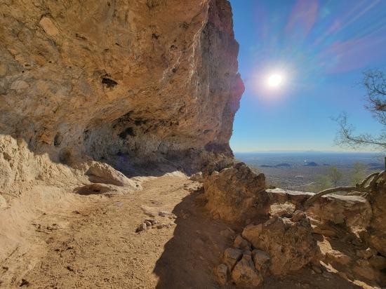
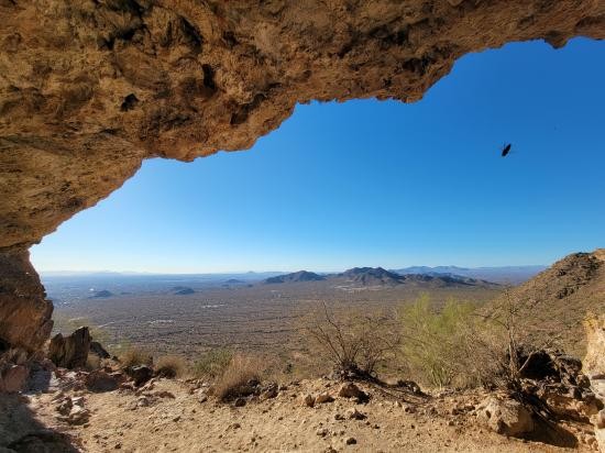
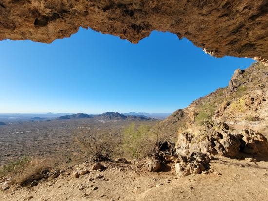
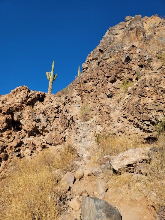
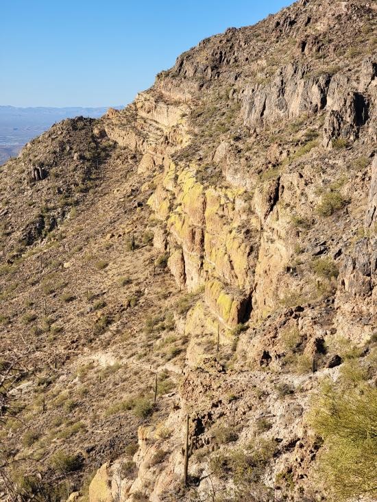
The Wind Cave Trail, located in Usery Mountain Regional Park near Phoenix, Arizona, is a moderately challenging hike that rewards visitors with stunning desert scenery and a unique cave formation at the summit. The trail is about 3.6 miles round trip, climbing steadily along the base of Pass Mountain and offering panoramic views of the Valley, including rugged desert terrain, saguaro cacti, and seasonal wildflowers. At the top, hikers reach the “wind cave,” a shallow alcove carved into the volcanic rock, where cool breezes provide a refreshing break and a peaceful spot to take in the landscape. The maintained trail stops here, but hikers may continue on an additional 0.3 miles to an unnamed peak that offers panoramic views of the entire area. This popular trail is family-friendly, well-marked, and best enjoyed during the cooler months for a safe and scenic desert adventure.
Trail Condition: Class 3 (Trail may have sections where hands are needed. Trail may not be visible in spots or may not exist at all.)
Time: 2-3 hours
Length: 3.6 miles out and back
Elevation Gain: 1,300 ft
Fees: None
Recommended Ages:
 | 0-3 |
 | 4-11 |
 | 12-19 |
 | 20-49 |
 | 50-69 |
 | 70+ |
Recommended Months to Visit:
| Jan |
| Feb |
| Mar |
| Apr |
| May |
| Jun |
| Jul |
| Aug |
| Sep |
| Oct |
| Nov |
| Dec |
Links: https://www.alltrails.com/trail/us/arizona/wind-cave-trail
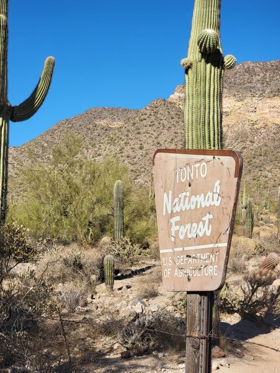
Navigate to 33.474071, -111.607271.
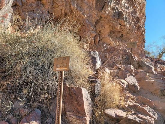
Beginning at the clearly marked trailhead, the path starts out gently, winding through classic Sonoran Desert terrain dotted with towering saguaros, cholla, and ocotillo. As the trail gradually ascends the lower slopes of Pass Mountain, hikers enjoy broadening views of the Valley, with glimpses of the Superstition Mountains to the east and the Phoenix skyline in the distance. The route becomes steeper midway, with rocky switchbacks that climb toward the mountain’s cliffs. Along the way, the desert flora provides bursts of color in spring, and quail or jackrabbits may be spotted. The final stretch brings you to the shallow alcove known as the Wind Cave, a natural formation eroded into the volcanic rock. Here, hikers can rest in the shade, feel the cool breeze funneled through the cave, and take in sweeping vistas of the desert floor below before retracing their steps back down the same trail.
Closest City or Region: Phoenix, Arizona
Coordinates: 33.476714, -111.596724
By Jeremy Dye
Start: 3:45pm
Wind Cave: 4:25
Peak: 4:45
Back to Trailhead: 5:25
For my last activity of the day, I went to the Usery Mountain Regional Park and hiked the trail up to Wind Cave and an unnamed peak next to it. I thought that wind cave was actually going to be a cave, so I took my headlamp, but it ended up being just a little overhang at the base of a cliff. That was a bit disappointing. But the last little hike to the peak was fun and offered great views in all directions.


 Mystery Castle by Boyce Luther Gulley [CLOSED]
 Holbert Trail to Dobbins Lookout
Red Tailed Hawk Interpretive Trail
Historic Heritage Square Audio Tour
 Hiking Trails
 Mountains
 Desert
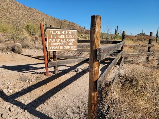
 No Drinking Water
 Marked Trails
 No Restrooms
 Road Access is Paved
 Access Road is 2WD Accessible
 Viewpoint, Overlooks, Vistas
 Wildflowers and Vegitation
 Wildlife and Birding