 Hiking | Big Springs Trail


Hype:
This trail goes through a forested area up to some springs that are now capped off.
Trail Condition: Class 1 (Trail is either paved or gravel. Navigation skills are not needed because there is only one trail or because there are signs. Elevation gains are gradual or there are stairs.)
Time: 2-3 hours
Length: 3.3 miles round trip
Elevation Gain: 925 ft
Fees: None
Recommended Ages:
 | 0-3 |
 | 4-11 |
 | 12-19 |
 | 20-49 |
 | 50-69 |
 | 70+ |
Recommended Months to Visit:
| Jan |
| Feb |
| Mar |
| Apr |
| May |
| Jun |
| Jul |
| Aug |
| Sep |
| Oct |
| Nov |
| Dec |
Closest City or Region: Provo Canyon, Utah
Coordinates: 40.332419, -111.524701
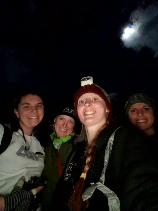
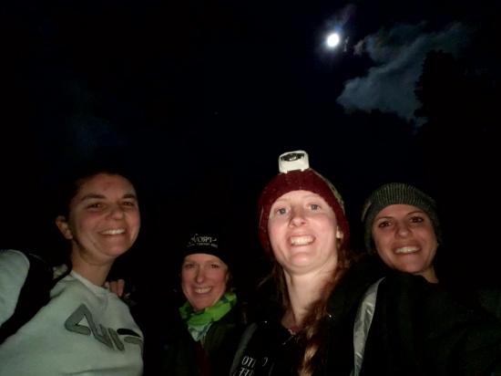
By Tara Dye
Tara Dye, Ondylyn Wagner, Marci Parker, Tiffany Miller,
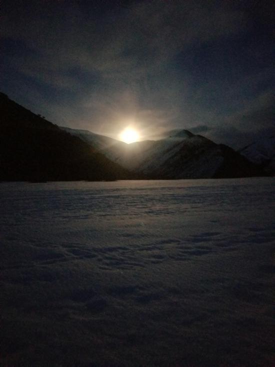
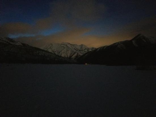
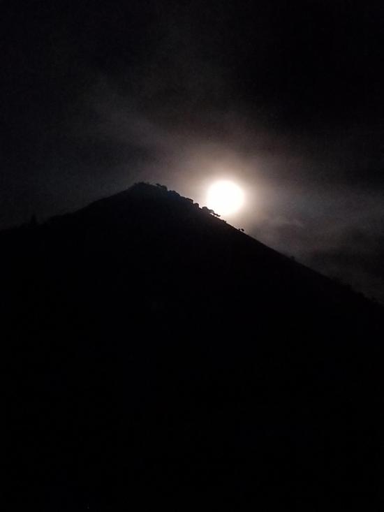
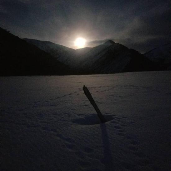
We snowshoed up to Big Springs for our full moon hike.

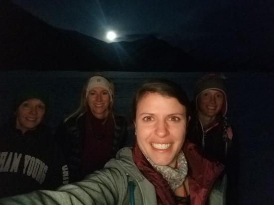
By Tara Dye
Tara Dye, Ondylyn Wagner, Jennifer Jones,
We started at the Big Springs parking lot. We went up the horse trail, ended up in an open meadow, continued until we dropped down onto the road. Then we hiked back on the road to the car.
East Portal Dispersed Campground
Mount Timpanogos Trail from Aspen Grove
Timpooneke Trail to Mount Timpanogos
Logan Ranger District Visitor Information Center
 Hiking Trails
 No Drinking Water
 Mountains
 Marked Trails
 Road Access is Paved
 Access Road is 2WD Accessible
 Horse Riding
 Wildflowers and Vegitation
 Wildlife and Birding