

Hype:
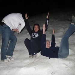
"Y" Mountain is named for the large concrete letter Y - for BYU - on the side of the mountain. Although the trail is steep, it is well maintained and not very long. Many BYU students hike to the Y daily or weekly as part of their exercise routine.
Trail Condition: Class 1 (Trail is either paved or gravel. Navigation skills are not needed because there is only one trail or because there are signs. Elevation gains are gradual or there are stairs.)
Time: 1-2 hours
Length: 2.2 miles round trip
Fees: None
Recommended Ages:
 | 0-3 |
 | 4-11 |
 | 12-19 |
 | 20-49 |
 | 50-69 |
 | 70+ |
Recommended Months to Visit:
| Jan |
| Feb |
| Mar |
| Apr |
| May |
| Jun |
| Jul |
| Aug |
| Sep |
| Oct |
| Nov |
| Dec |
Navigate to 40.244816, -111.627151.
By Jeremy Dye
Tara Dye, Marci Parker, Callie Parker,
Tara hiked the Y in the rain with Marci.
East Portal Dispersed Campground
Hidden Peak, Mt Baldy, and Sugarloaf Mountain
Mount Timpanogos Trail from Aspen Grove
Timpooneke Trail to Mount Timpanogos
Logan Ranger District Visitor Information Center