 Hiking | Rock Canyon Trail


Hype:
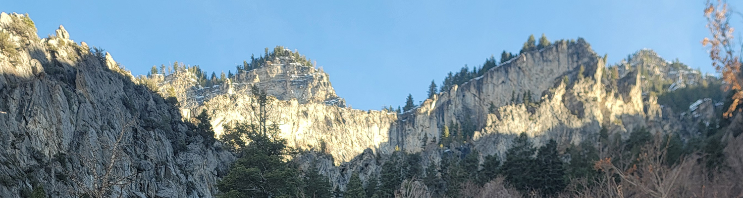
The Rock Canyon Trail in Provo, Utah, is a popular out-and-back hike that winds through a dramatic canyon carved into the foothills of the Wasatch Range. Beginning near the Provo Temple, the trail climbs steadily alongside a small creek, crossing several bridges and passing towering limestone cliffs that attract rock climbers. The 5.4 mile round-trip route offers shaded stretches, wildflowers in spring, and impressive views of both the canyon walls and the Utah Valley below. It’s a versatile trail suitable for hiking, trail running, and nature photography, offering a peaceful escape just minutes from downtown Provo.
Trail Condition: Class 2 (Trail may have tree roots or rocks jutting out. Navigation skills may consist of following rock cairns and choosing turns at junctions. Elevation gains may be more substantial.)
Time: 2-3 hours
Length: 5.4 miles out and back
Elevation Gain: 1,850 ft
Fees: None
Recommended Ages:
 | 0-3 |
 | 4-11 |
 | 12-19 |
 | 20-49 |
 | 50-69 |
 | 70+ |
Recommended Months to Visit:
| Jan |
| Feb |
| Mar |
| Apr |
| May |
| Jun |
| Jul |
| Aug |
| Sep |
| Oct |
| Nov |
| Dec |
Links: https://www.alltrails.com/trail/us/utah/rock-canyon-trail
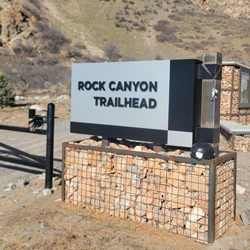
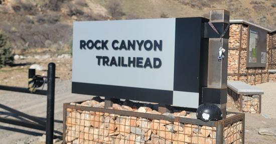
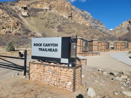
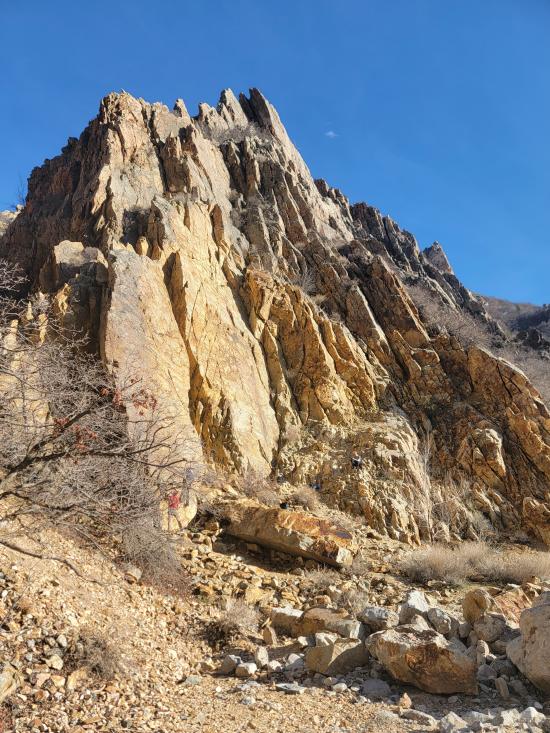
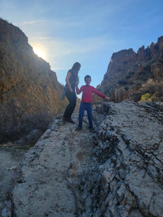
The Rock Canyon Trail begins at the well-marked trailhead just east of the Provo Temple, where a paved path quickly transitions into a wide dirt trail leading into the mouth of the canyon. Early on, hikers follow the creek that meanders down from the upper canyon. The lower section is lined with cottonwoods and scrub oak, providing welcome shade during warmer months. The towering limestone cliffs on either side are popular with climbers, and it’s common to see ropes and climbers scaling the rock faces as you make your way deeper into the canyon.
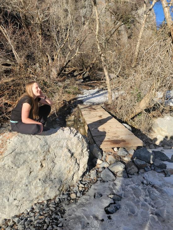
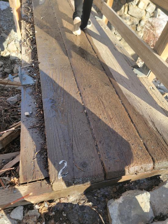
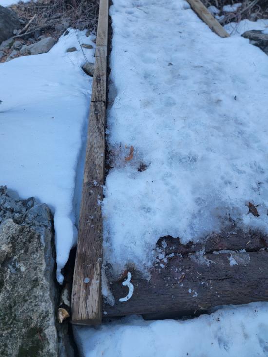
As the trail continues, the sound of running water accompanies hikers along several wooden and metal bridges that cross the creek. The path is well-maintained and gradually gains elevation, offering a comfortable but steady climb. Along the way, small side paths lead to scenic viewpoints or bouldering areas. During spring and early summer, wildflowers bloom along the trail, and chipmunks or birds can often be spotted darting through the brush. The steep canyon walls narrow slightly in places, creating dramatic contrasts of light and shadow as the sun shifts overhead.
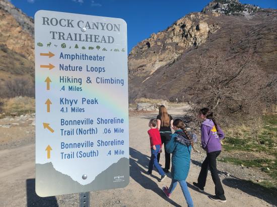
Farther up the canyon, the vegetation thins and the terrain opens to reveal sweeping views of the surrounding ridges. The trail surface becomes rockier here, and the incline increases slightly, giving the hike a more rugged feel. About 1.3 miles in, hikers pass Roadside Cave, which is a small cave on the north side of the trail. Continuing up Rock Canyon, the scenery becomes increasingly alpine, with pine trees and hardy mountain shrubs replacing the lower canyon’s deciduous growth.
At 1.6 miles is a junction with the Kyhn Peak Trail, which takes hikers up to Kyhn Mountain. Stay right (east) to continue on the Rock Canyon Trail.
As you climb higher, the sound of the creek fades, replaced by the quiet rustle of wind through the trees and the distant call of birds. The upper sections of the trail offer impressive views back down toward Provo and Utah Lake, especially in the late afternoon when the valley glows golden in the sun. Occasional benches and resting spots provide opportunities to pause and enjoy the view. The trail remains wide and easy to follow, though the elevation gain becomes more noticeable in the final stretch.
The trail eventually leads to a group campground area on Kyhv Peak Road, where hikers can rest before heading back down. You could theoretically arrange a shuttle car and do the hike one direction only, but the shuttle would be very long, and almost no one chooses that option.
The return trip offers a completely different perspective, with long downhill stretches and open vistas of the valley framed by the canyon walls. Descending in the evening provides a particularly scenic experience, as the cliffs catch the last light of the day. The full hike takes about two to three hours round trip at a moderate pace, making Rock Canyon Trail a perfect half-day adventure that combines easy access, natural beauty, and a satisfying variety of terrain.
By Jeremy Dye
Jeremy Dye, Tara Dye, Savannah Dye, Madilyn Dye, Cooper Dye,
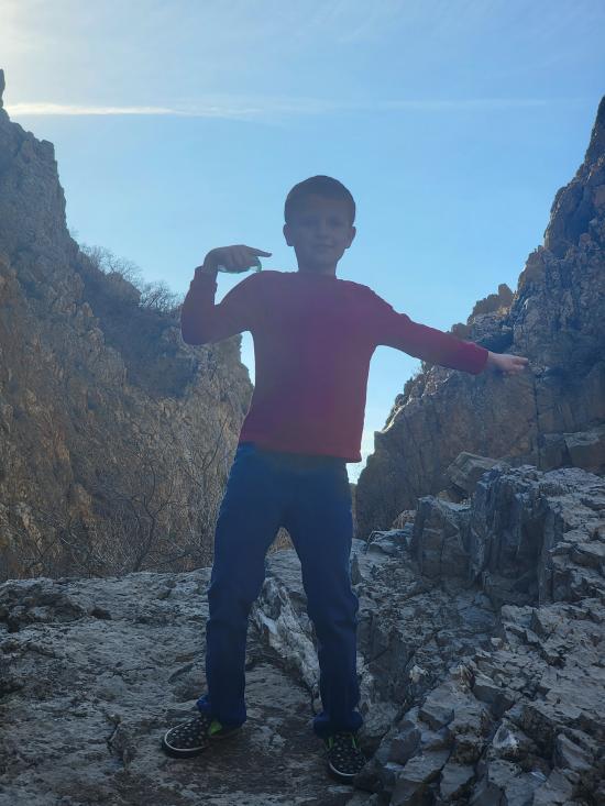
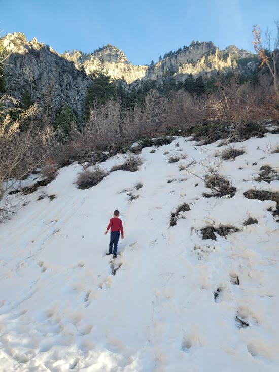
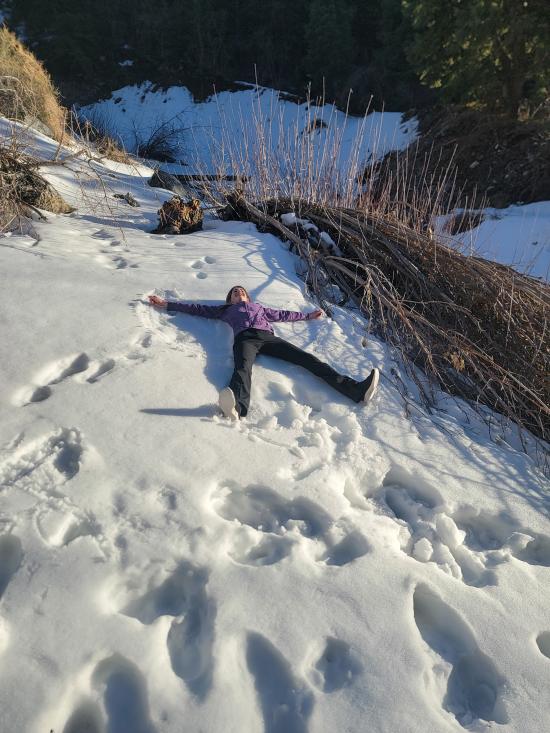
Tara and the kids picked me up at BYU, and we went to Rock Canyon for family home evening. The goal was to find some letterboxing and do some hiking in the nice weather. There was supposed to be a letterbox near the rock climbing area at the mouth of Rock Canyon. We searched around for it for quite a while but didn't find it. We hiked up to roadside cave. We had some snowball fights along the way. Cooper dragged his feet, so we ended up giving him a piggyback ride for a fair amount of the hike.
East Portal Dispersed Campground
Wardsworth Trail Primitive Camping
Hidden Peak, Mt Baldy, and Sugarloaf Mountain
Mount Timpanogos Trail from Aspen Grove
Timpooneke Trail to Mount Timpanogos
Logan Ranger District Visitor Information Center
 Hiking Trails
 Potable Water
 Rivers and Streams
 Mountains
 Forest
 Marked Trails
 Restrooms - Flush
 Road Access is Paved
 Access Road is 2WD Accessible
 Viewpoint, Overlooks, Vistas
 Pets Allowed
 Wildflowers and Vegitation
 Wildlife and Birding